West Virginia - WV Route 42
WV Route 42
Photos head southeast from Liberty to Scherr.


I do believe there are wind turbines around this hill. Let us continue around this hill.


I am now at the summit of said hill (Allegheny Front). The last three photos pan from east to south across the scene in the first. Greenland Gap is to the east through New Creek Mountain. Patterson Creek Mountain is the tall ridge behind it, and then South Branch Mountain appears in the further background. I explore all of those on my US Route 48 page linked below.

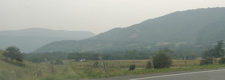
More turbines? Yes, please. The second photo looks east as I descend Fore Knobs, which are on the fore (east) side of Allegheny Front), through a gap in Walker Ridge, across US Route 48, through Greenland Gap, to Patterson Creek Mountain.
Onto US Route 48
Back to West Virginia Non-Roads
Back to Non-Roads main page