Washington - State Route 243/Columbia River
State Route 243 and Columbia River
All photos were taken heading south.


These photos, panning from the edge of Frenchman Hills in the east around to the Columbia River, are technically from State Route 26 in the short distance between Interstate 90 (linked at bottom) and Route 243.


The Saddle Mountains appear to the southwest along the Wanapum Lake section of the Columbia River. The last 3 photos pan from south to west.


Left, right, left, and we're at Wanapum Dam. You can see it's not doing much to raise the lake level above the river downstream, but I suppose it's enough for hydroelectric power.


More Saddle Mountains on both sides of the Columbia River, more last 3 photos panning from south to west. Umtanum Ridge appears in the gap, 15 miles away. That railroad bridge is spanning just a small portion of the river at the truss; the rest of the elevated structure is still over the river.
As I pan ever westward, I'm within the river's gap between the Saddle Mountains and getting these unique views.


Various views of the Saddle Mountains hitting the Columbia River, first 2 and last 3 panning from left to right.



The west end of the eastern Saddle Mountains ridge is interesting indeed.


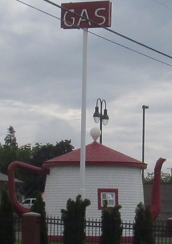
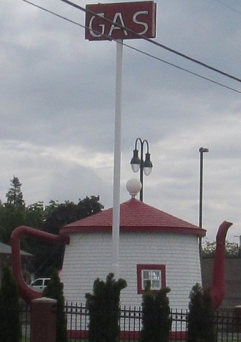

More Umtanum and last views of the Saddles.


I lied; the last photo looks back north and is therefore the south side of the Saddle Mountains.


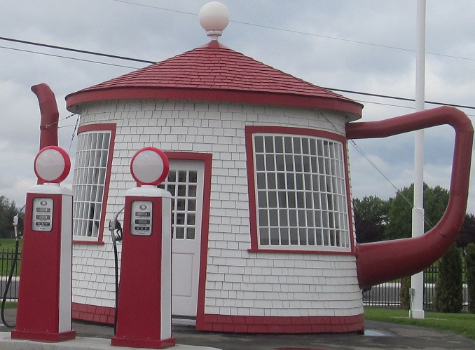
Windmill to the west, Umtanum all around. The mountain photos pan from south to west in Mattawa.


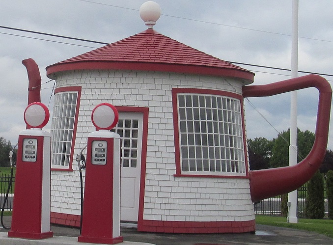

Two 3-photo sets of Umtanum Ridge panning from left to right.

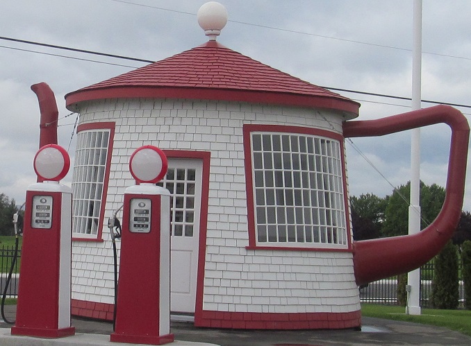


All but the first photo gradually pan from west to southeast as the road curves east with the Columbia River, reversing the direction of every other multi-photo set thus far.


The Umtanum Ridge winds down as State Route 243 does the same.

A glimpse of Gable Mountain, across the Columbia to the east.
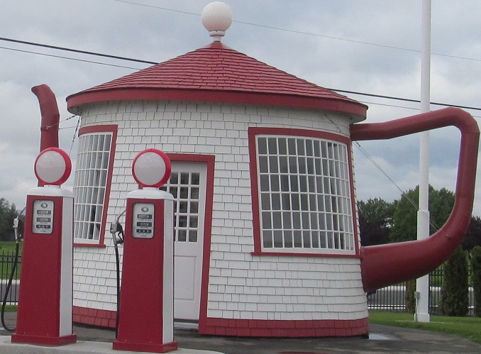
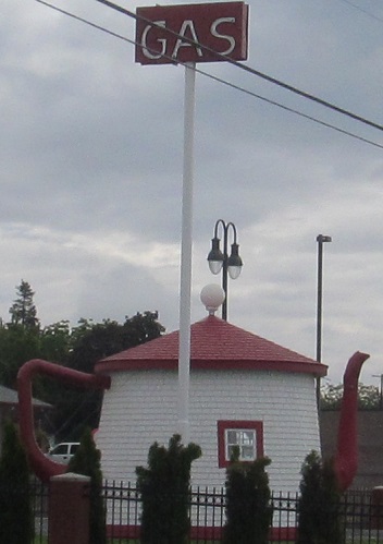
Last Umtanum photos and last on this page, back to the west and to my right/southeast.
Back north along the Columbia River to Interstate 90
South along the Columbia River to US Route 730
Continue south on State Route 24
State Route 243 roads photos
Back to Washington Non-Roads
Back to Non-Roads main page


