Victoria - Grampians Road
Grampians Road (Highway C216)
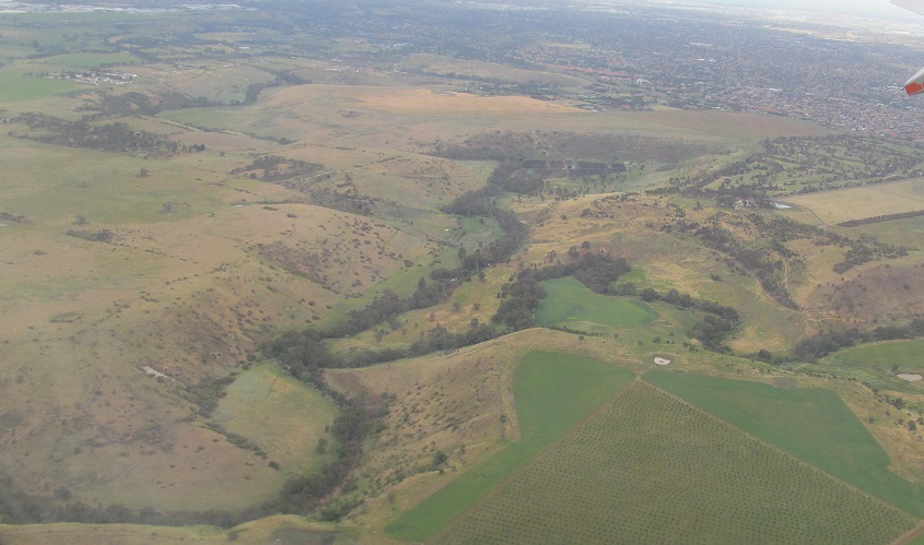
Photos were taken heading south. All scenery is of various Grampians.


From Halls Gap, these photos look right at the south end of the Mt. Difficult Range.

Looking straight on at Delleys Bridge over Fyans Creek.


The last photo looks straight at the south end of Halls Gap.

In the 2nd photo, the Mt. William Range starts to rise on my left.


A 3-photo panorama at the north end of Lake Bellfield, looking east at the Mt. William Range as it heads toward Mt. Cassel to the south.


Suddenly, Mt. Abrupt is in front of me. Okay, it took a half hour of driving through a tree-filled valley to get this view. Between the bookending photos of Mt. Abrupt, I'm looking west at the southern end of the Serra Range, the last range of the Grampians.


Interesting bluffs on my right form part of the east face of Mt. Abrupt.


I happened upon the trail of a small 2010 rockslide. The uphill side (last two photos) looks due west toward the origin of the rockslide on the slope of Mt. Abrupt.


Grampians Road ends at the base of Mt. Sturgeon, seen in all but the first photo (the tail end of Mt. Abrupt).
Highway C216 road photos
Back to Victoria Non-Roads
Back to Non-Roads main page