Tasmania - Pirates Bay/Tessellated Pavement
Pirates Bay and Tessellated Pavement


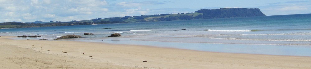
The whole of Pirates Bay can be seen heading south on Pirates Bay Road. Fossil Island and the Fossil Bay Lookout area is in the distance in the 1st photo.


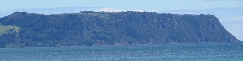
The whole of Pirates Bay can be seen heading north on Blowhole Road (Highway C338). MacGregor Peak is the tall one in the first and last photos, and the hills stretch east toward View Peak.


Stepping down toward Tessellated Pavement, I first look south across Pirates Bay toward Fossil Island. My camera spied something else in the Pacific. That's Hippolyte Rock, 16 km away!


Toward the north, my own eye spied Clyde Island, which is not really an island (at least at this tide level).


Before I get to the "pavement" itself, here are two more unexpected finds: a colony of limpets and a hidden miniature waterfall.


Alright, here's your pavement. The joints between blocks formed from small earthquakes that happened to find the right type of stone that would fracture cleanly in parallel lines. Over time, different movements formed cracks in neatly perpendicular directions (as well a third, offset direction), and then continued erosion did the rest. The shinier, flatter areas ("pans") you see closer to land are formed by cycles of occasionally being washed by salt water, then drying out. The salt abrades the rock surface and scrubs it flat. The greyer, rounder areas by the sea ("loaves") are formed by more continuous immersion leading to scouring down of the joints by suspended sand particles.


More views as I step down onto the pavement and look to my left.


Walking south along the seaward stones.
Over to Fossil Bay Lookout
Pirates Bay Drive road photos
Back to Tasmania Non-Roads
Back to Non-Roads main page