Tasmania - Coal Mines Historic Site - Outside the Settlement
Coal Mines Historic Site -
Outside "The Settlement"
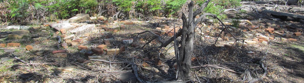
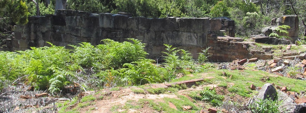
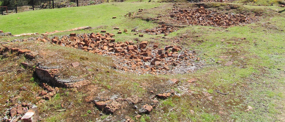
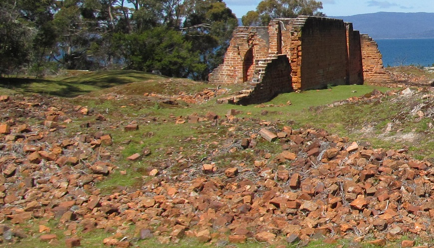
Starting with the ruins I can't identify, this is near the parking area on the northern trail. Was this just a dumping ground for stray stones, or was it a building? The world may never know.
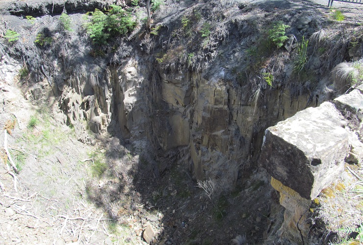
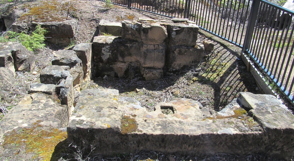
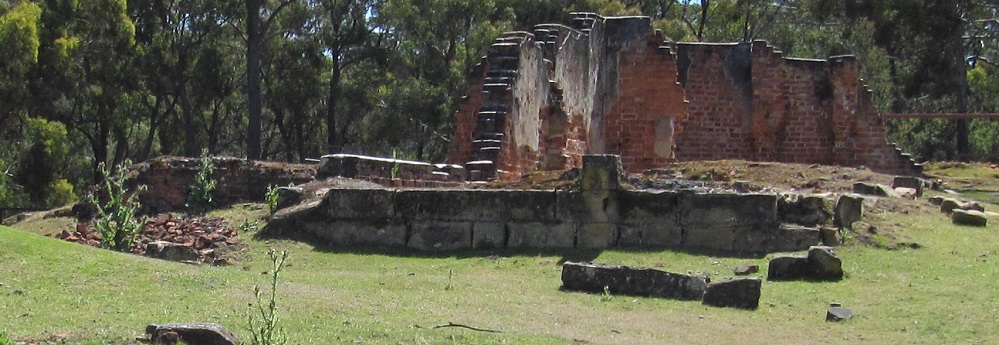
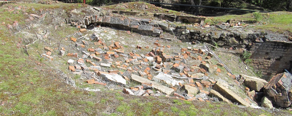
The main shaft pit is on the west end of the site. It was over 90 metres deep before it collapsed. My best guess for the stone foundation is that it supported the steam engine used for dewatering. Until this shaft opened in 1845, dewatering methods at the older shafts were manual labour and buckets. Lots of buckets, because the mines were close to Norfolk Bay and well under the water table.
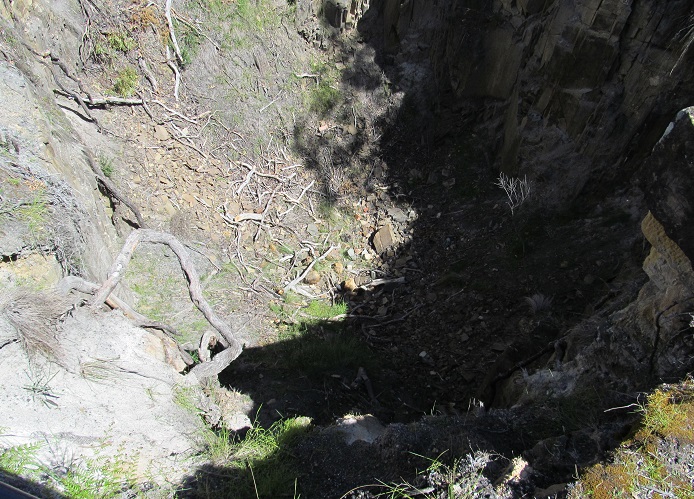
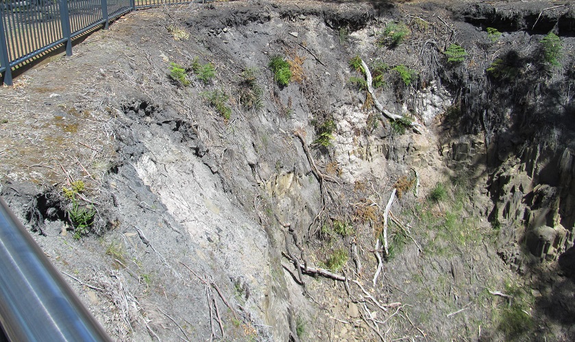
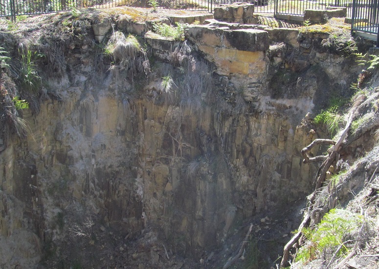
More shaft views. You can see what I deem the engine support in the back of the last photo.
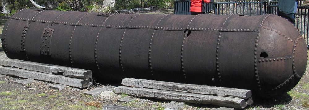
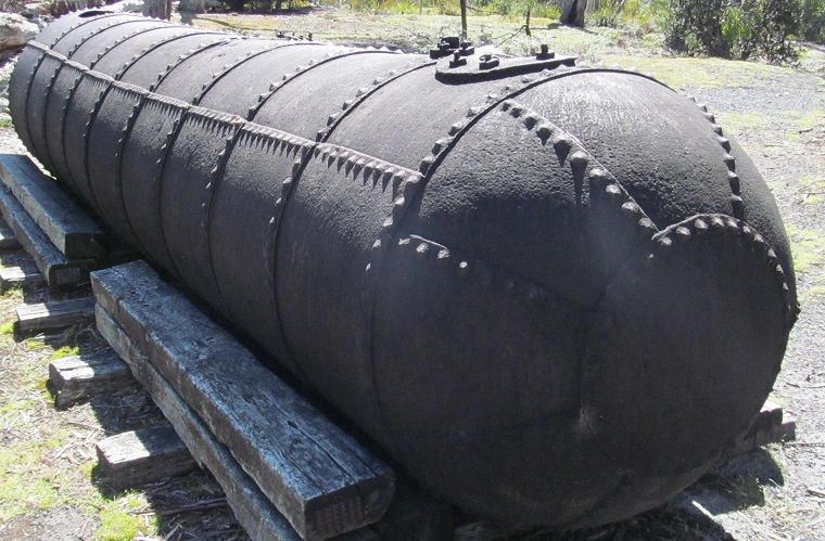
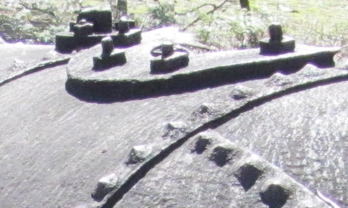
Speaking of dewatering, this was the hand-riveted boiler used to heat the water to power the steam engine. I'm starting to think the ruins in the first photo were related to this operation.
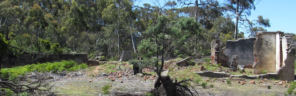
The military commandant's house is on a hill to the north of The Settlement, overlooking the main square. Other buildings up here housed the prison surgeon and other officials from the military garrison that oversaw the work prison. There was also a signal station, built in 1836 to relay semaphores to and from Port Arthur Gaol, using a tall wooden pole and masts with flags to relay codes from a code book. Lucky the prisoner well-behaved enough to earn that job.
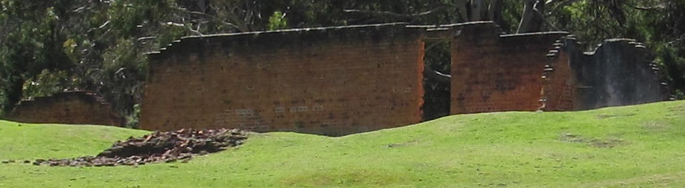
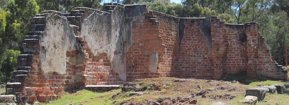
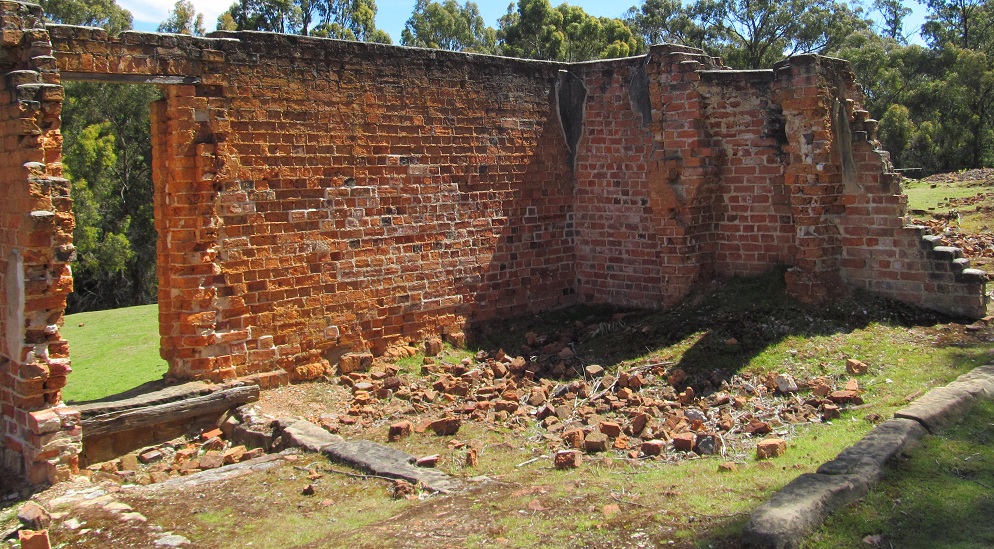
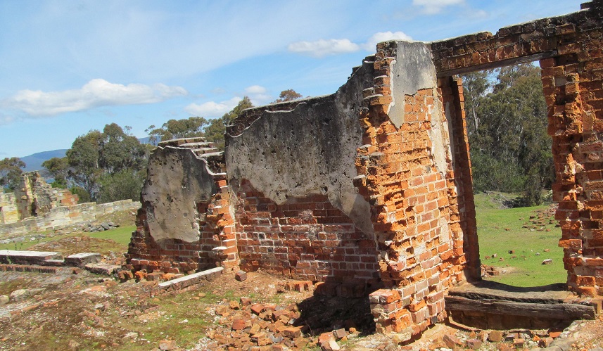
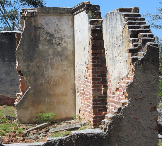
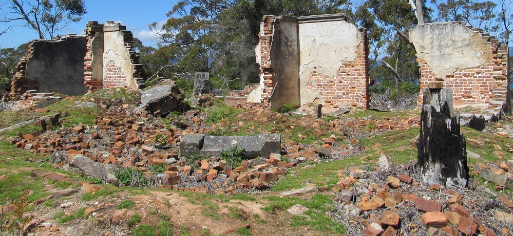
Our last stop is the brick barracks built at the northwest corner of the site in 1847 for additional housing, as the prison topped 600 prisoners at its peak. (Note that the site ceased operation barely a year later. Fortunately, it was all built with prison labour, so no money was expended in its construction.) Similar to the original barracks in The Settlement, there were 108 individual "apartments" (a.k.a. cells) on top, with 36 more solitary confinement spaces below, since there was a lot more potential for trouble with 600 prisoners than with 100-200. Speaking of trouble, the intent behind these "modern" barracks was to provide more prisoner separation to discourage homosexuality. Since murder, rape, etc. are all bad and whatnot, but heaven forfend two consenting adults should do something in the privacy of their own cells.
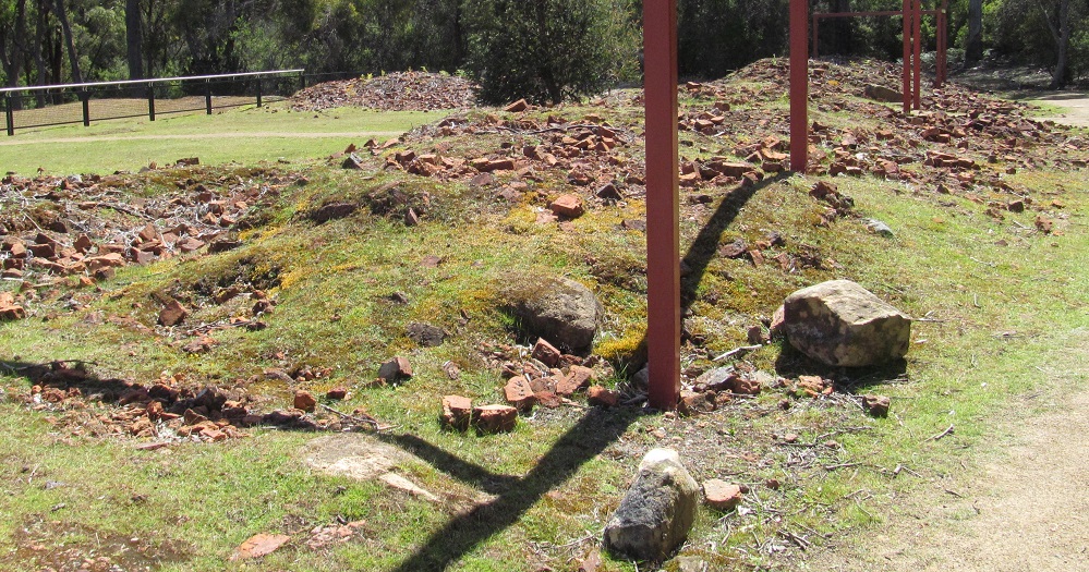
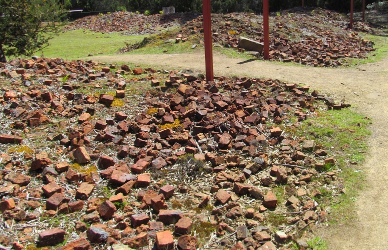
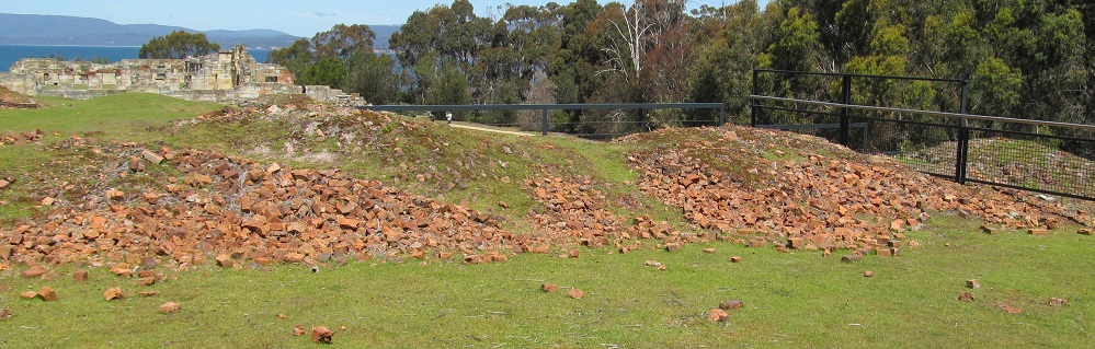
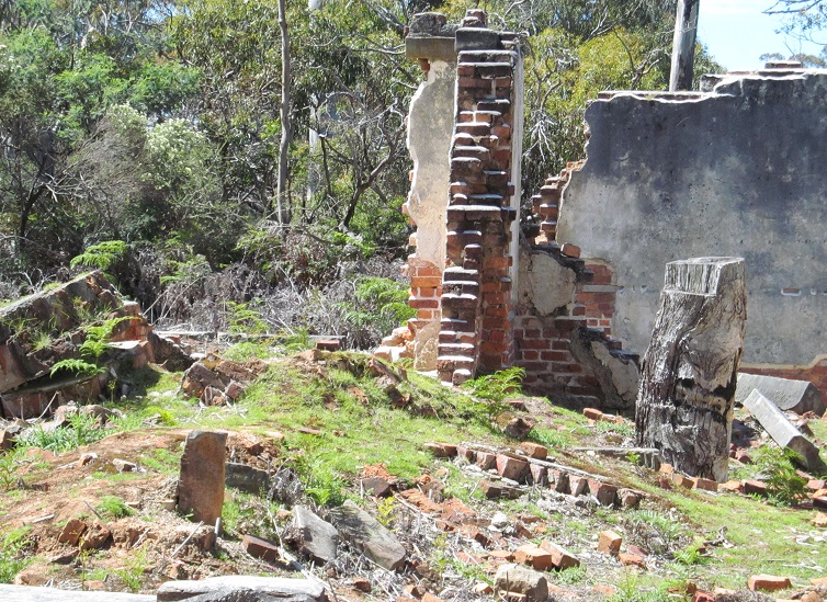
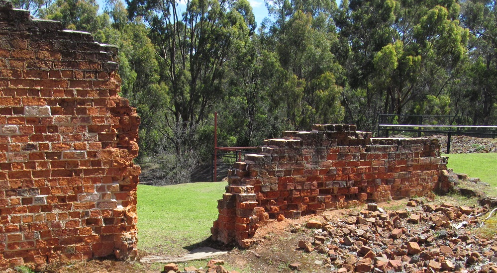
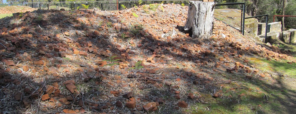
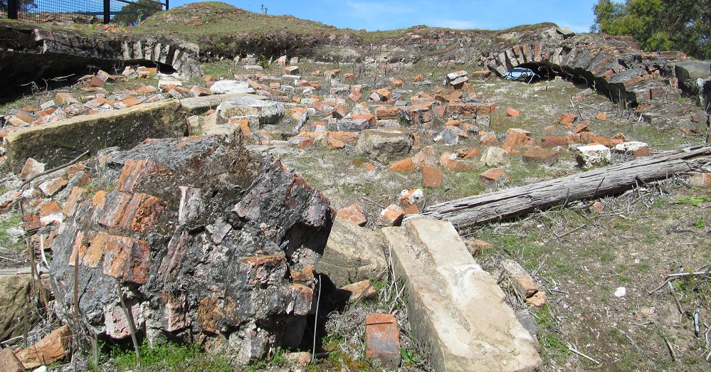
All that remains of the western wing of the "apartment complex" is piles of bricks and mounds of earth with traces of wall foundations. Australia saw fit to erect tall metal posts to show the full height of the building, instead of, I don't know, reerecting the bricks.
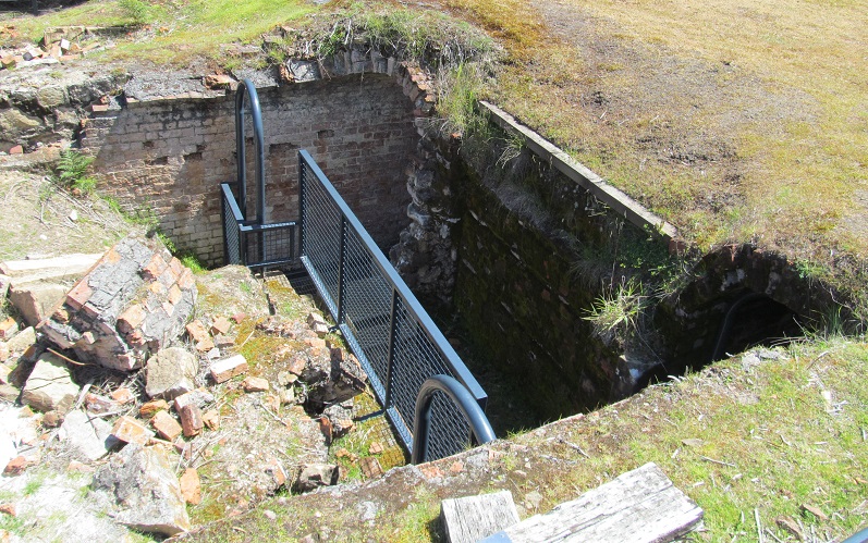

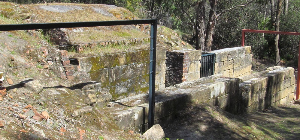
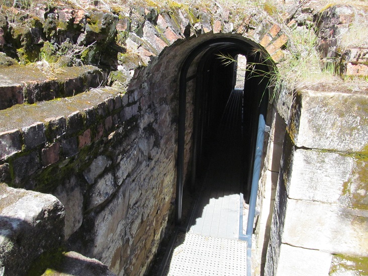
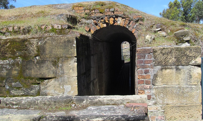
Moseying over to the buried entrance to the underground solitary confinement cells that were built into the basement of the apartments. Imagine building these passages with the knowledge that you were likely to spend time here - up to 30 days at a time - for some reason or another during your sentence. I can't imagine there was any reason to cheat a secret way out or a communication portal between cells into the construction.
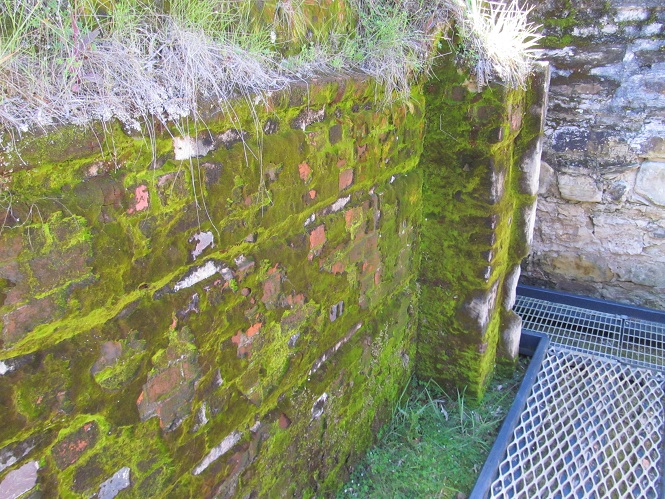
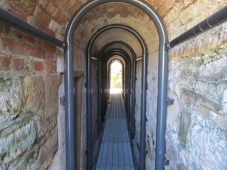
Part of the underground tunnels has collapsed, so your tour will be abbreviated through the part that has been shored up. Again, couldn't these be excavated and shored up too?
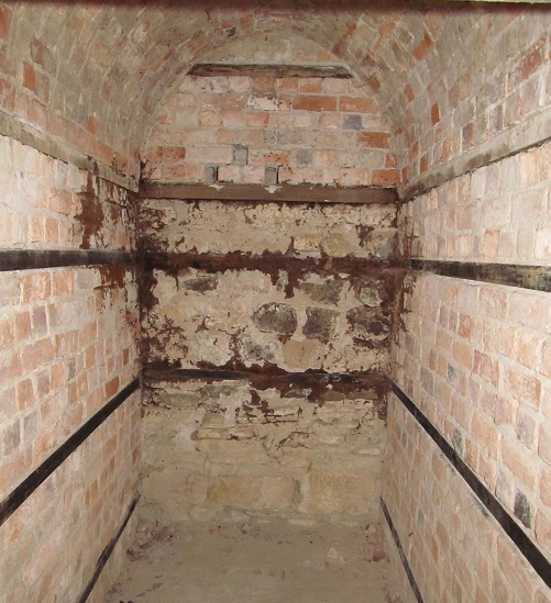
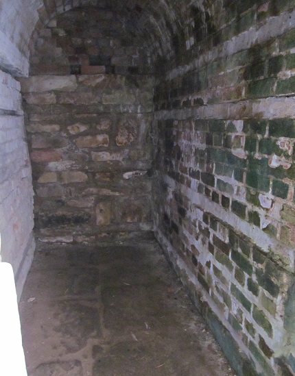
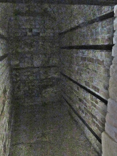
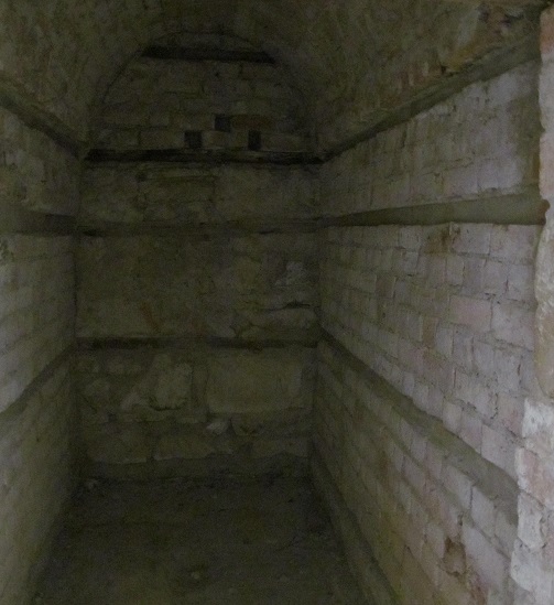
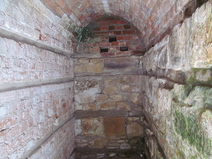
Several of the underground cells highlighted for your edification. Or not highlighted - the photos without flash are rather creepier if you imagine that being your home for 30 days with no light source. (Remember, there was a building on top of this, so natural light would only come from the doorways at either end during daytime - and one of the doorways was a lot farther away than it is now.)
Head into "The Settlement"
Back to Coal Mines Historic Site main page
See more of the Tasman Peninsula
See more of Norfolk Bay
Back to Tasmania Non-Roads
Back to Non-Roads main page