Tasmania - From the Air
Tasmania from the air


From the Central Plateau area, looking east across Liffey Bluff to Drys Bluff, then along the eastern arm of Great Lake.


I receive a lucky charm while crossing the Front Tier north of Bothwell.


Approaching Richmond, these photos look east at the Coal River Tier above Tea Tree, then southeast at Richmond from the southern foothill of Long's Hill.

Past Richmond, approaching the airport, these photos look more northerly along the Coal River. To the northeast, the rearmost range includes Mt. Richmond, Mt. Phipps, and the Black Hills stretching to the right. To the north, Butchers Hills are in my immediate left foreground, and Coal River Sugarloaf lurks in the far back left.


A pair of Pontos Hills photos - the range just behind the Coal River as I look northeast from its mouth where it enters Pitt Water. The first photo has assorted Sugarloafs (loaves?) in the background. Tasmania seems to have a lot of Sugarloaf hills and mountains.

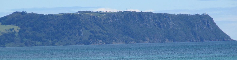
Last photo before landing looks northeast from Shark Point (left) along Pitt Water toward Penna (the settlement at right).
See Pitt Water from the ground
Back to Tasmania Non-Roads
Back to Non-Roads main page