South Australia - Princes Highway (A1, Spencer Gulf/Flinders Ranges)
Princes Highway (Highway A1) -
Spencer Gulf and Flinders Ranges
All photos were taken heading south.
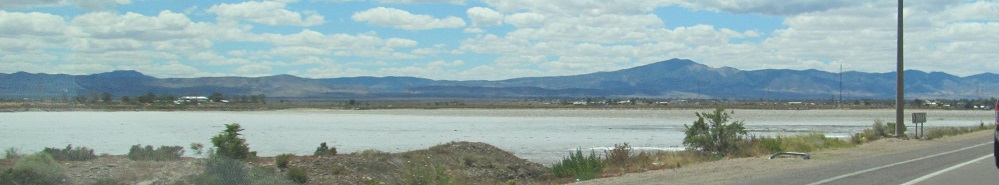
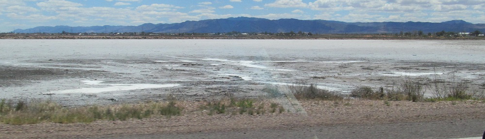
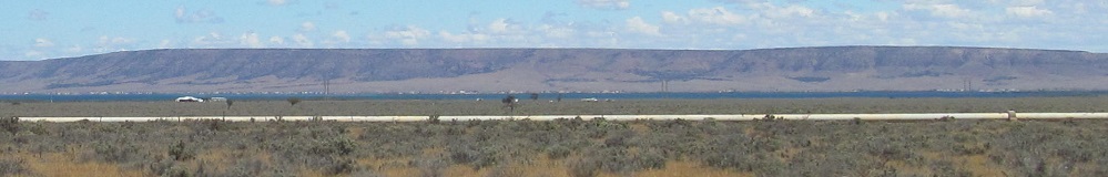
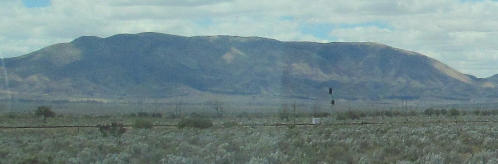
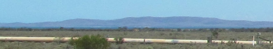
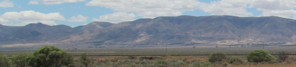
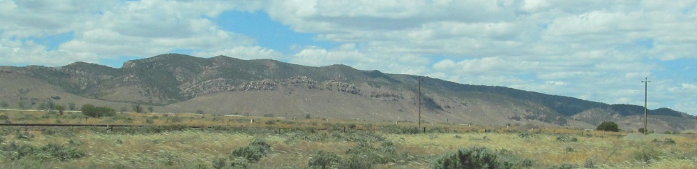
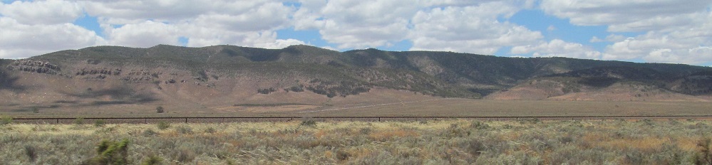
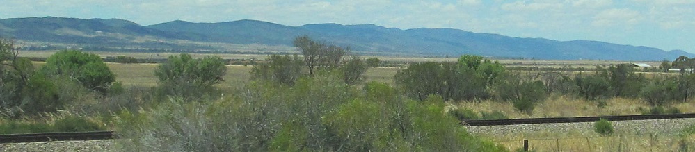
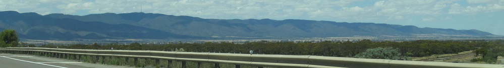
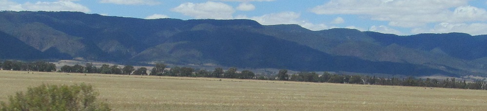
Through the salt flats leaving Port Augusta, with the Flinders Ranges in the background.
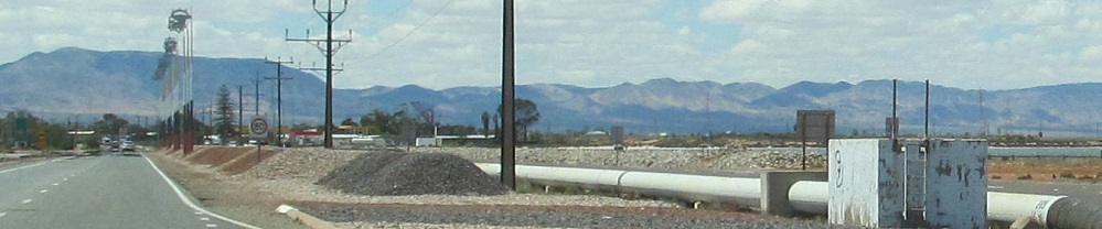
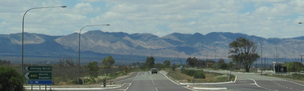
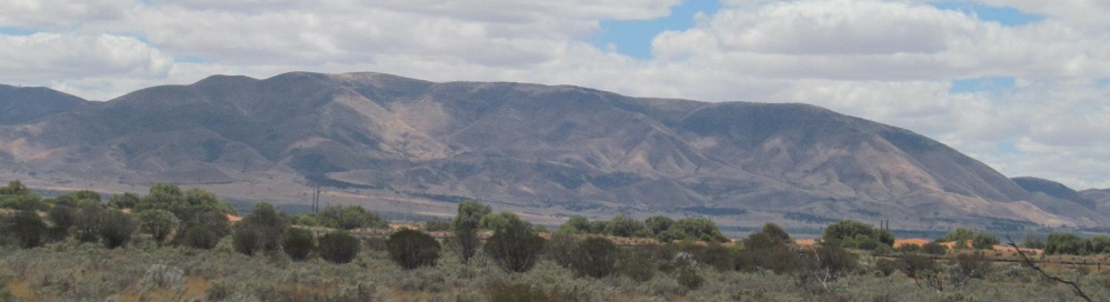
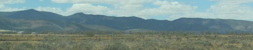
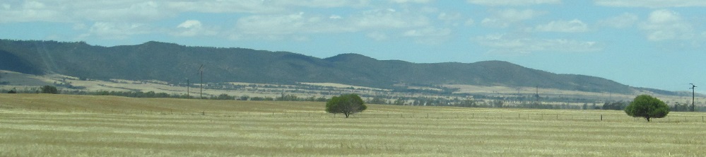
A brief introduction to the Flinders Ranges: the Mount Remarkable area is to the right in the 1st photo (it's really unremarkable, but wrinkly) and Mount Brown is to the left in the 2nd photo. The third photo is at the Highway B83 turnoff to Stirling North for reference.
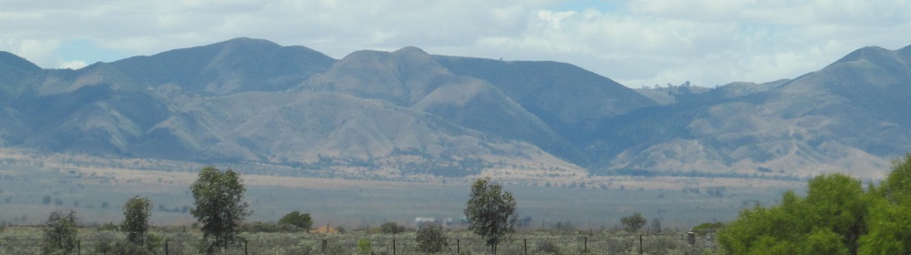
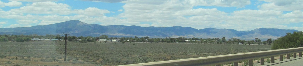
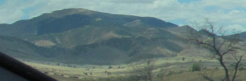
I'm actually not sure whether the 4th photo is really Mt. Remarkable, but the last photo is definitely Mt. Brown.
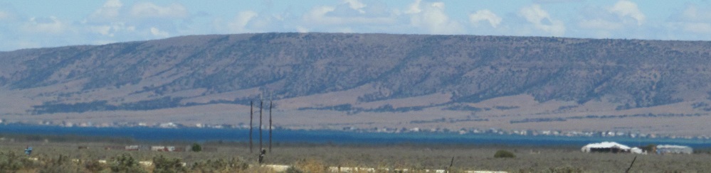
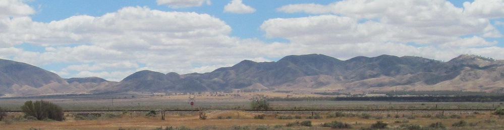
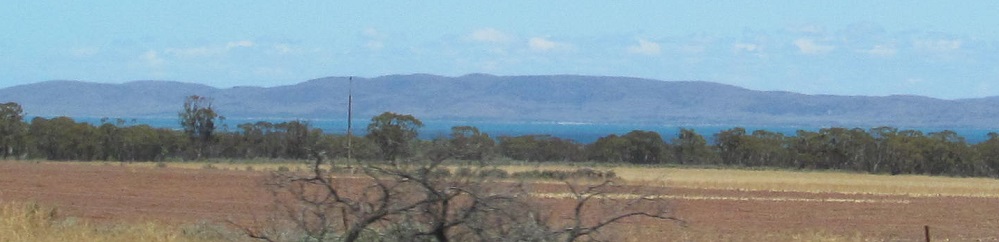
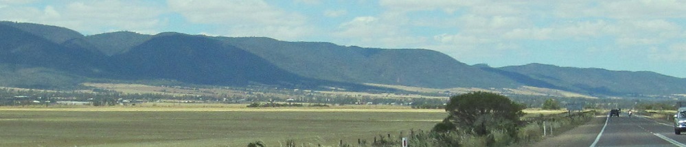
First looks at Spencer Gulf to my right (west).
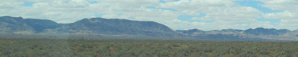
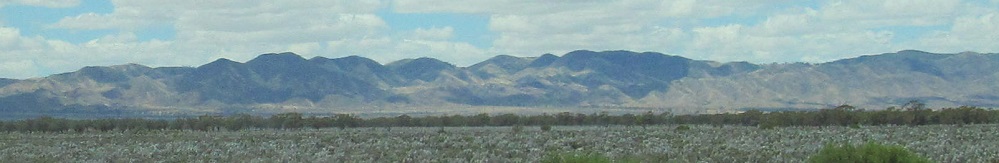
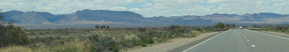
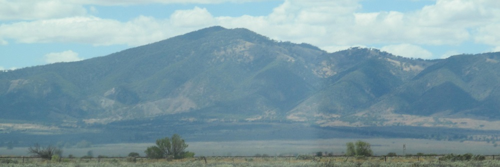
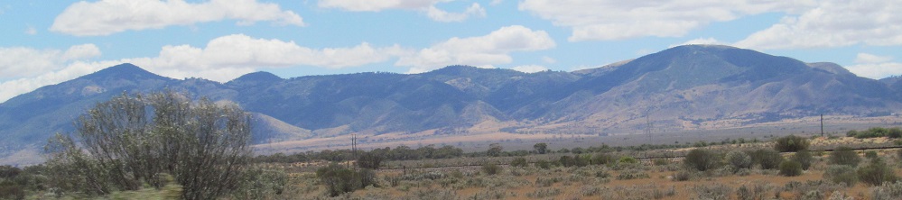
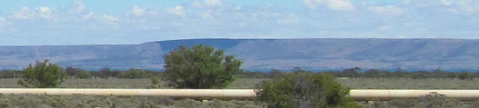
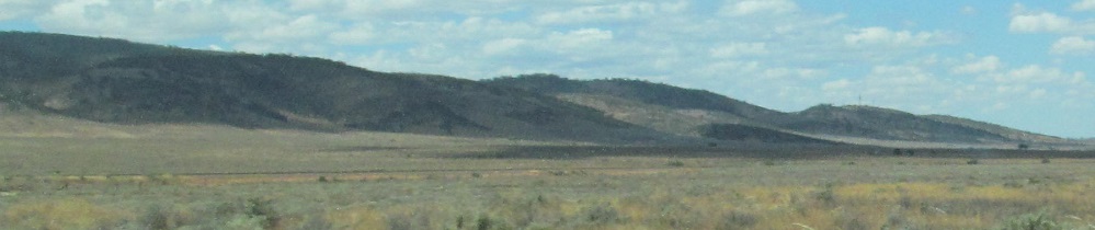
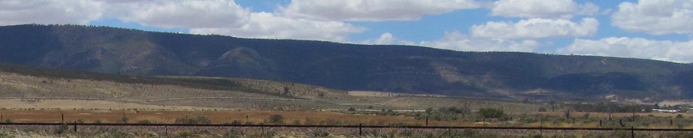
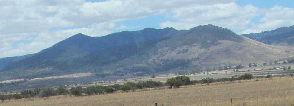
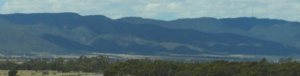
The last three photos pan from left to right, and may end on Mt. Remarkable. It's not the only Mt. Remarkable in Australia and definitely not the most remarkable one.
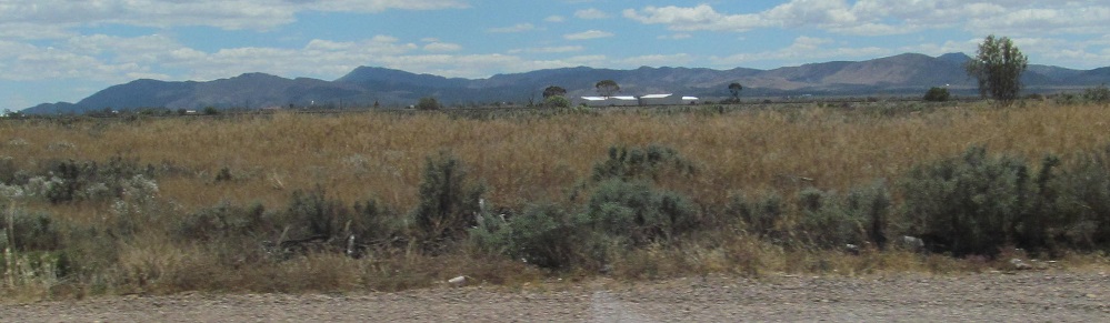
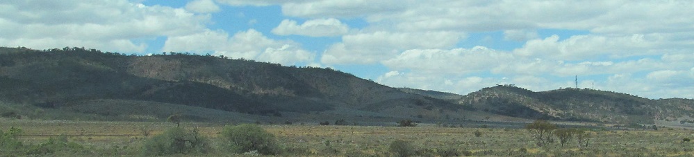
Nearing Winninowie now.
Left and right Flinders photos, left and right Spencer photos.
Left and right, then the last three form a left to right panorama. I know, they all look the same after awhile.
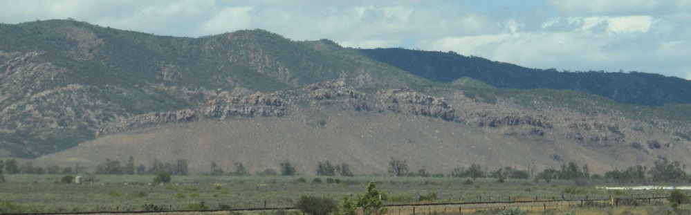
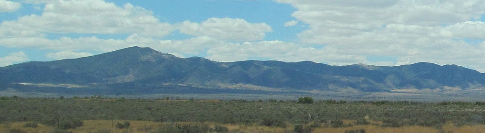
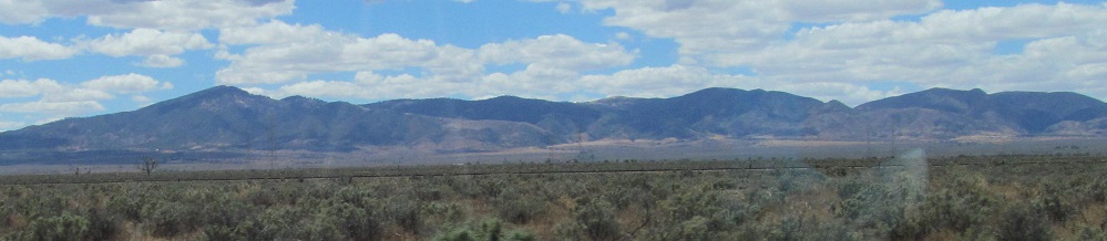
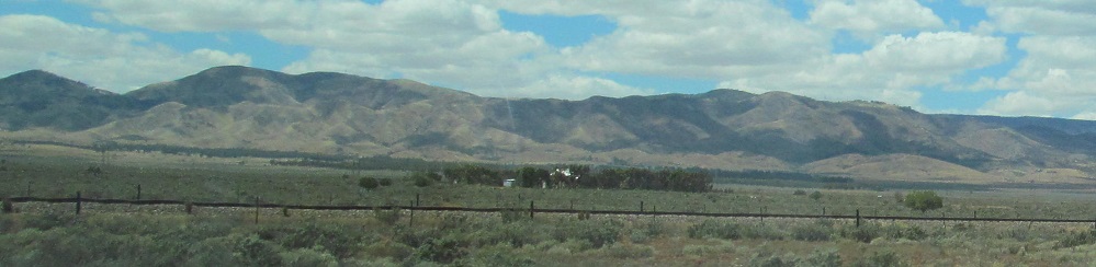
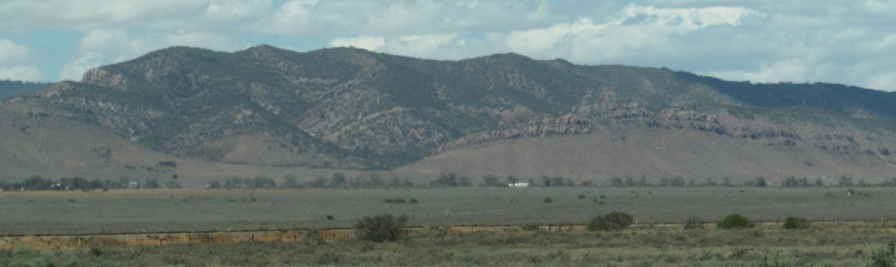
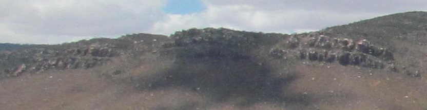
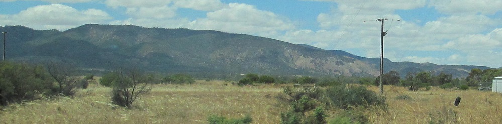
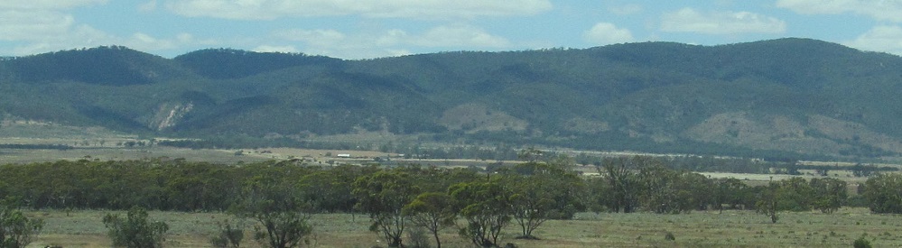
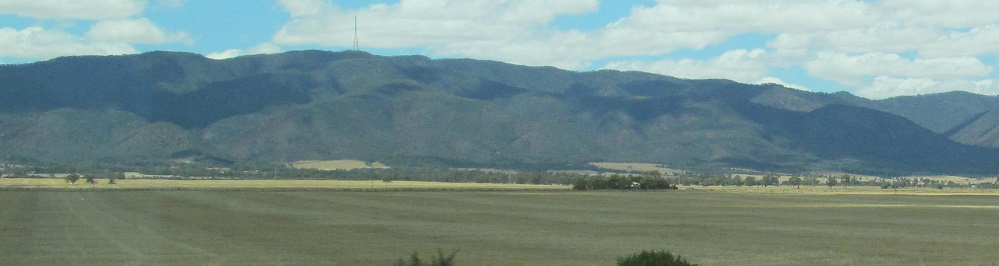
The last 3 photos were all taken by Nectar Brook Rd. Perhaps this is Mt. Remarkable.
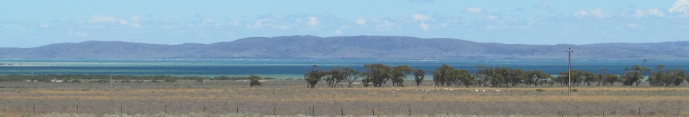
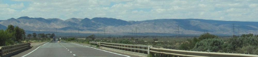
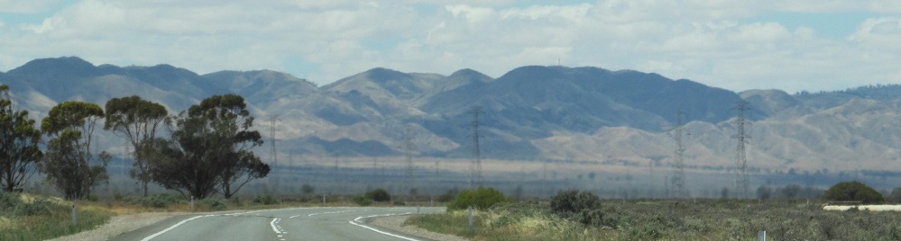
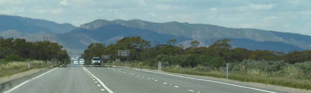
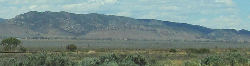
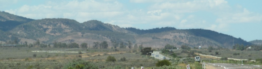
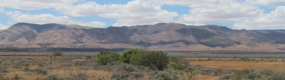
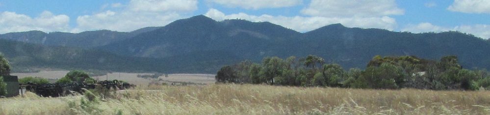
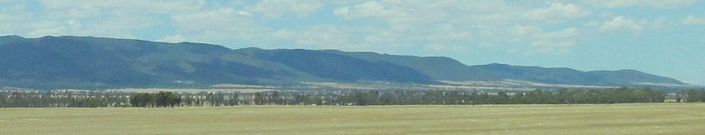
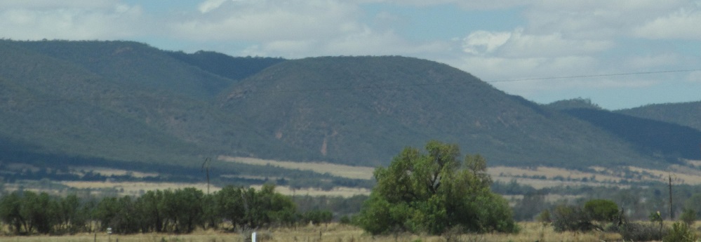
One last look at Spencer Gulf before I just spit out all the remaining Flinders Range photos at you. The first two photos are a left/right pair.
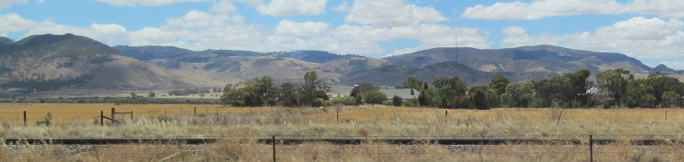
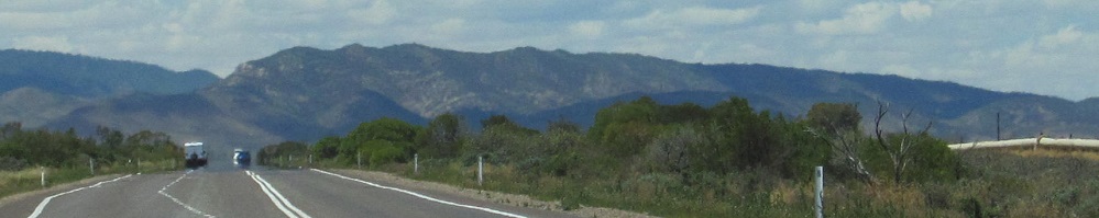
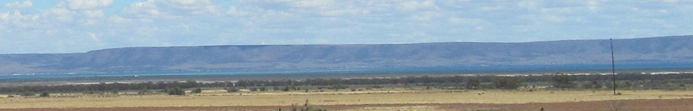
The penultimate photo is at the Causeway Road turnoff to Weeroona Island. The last one is right around Port Pirie and the end of both Spencer Gulf and the Flinders Ranges.
Continue south on Princes Highway past Merriton
Back to Princes Highway (A1) main page
Back north for more Flinders Ranges photos on Stuart Hwy.
Princes Highway road photos
Back to South Australia Non-Roads
Back to Non-Roads main page