Queensland - Townsville
Townsville


The first photo is the Wharton Reef Lighthouse, now situated at Plume and Palmer Streets. I can't vouch for the other two, though the last one dates to the 30th anniversary of World War II.
 Marine "life".


The 1886 post office on the southwest corner of Flinders and Denham Streets is now a brewery.


From there, the views to the east and west along Flinders Street.


Continuing along Denham Street (State Route 16) to the 1921 Townsville Technical College, also known as Townsville High School from 1924-1964 before again becoming a technical college.


Continuing along Highway 16, here we have Mount Marlow (facing west on Warburton Street at Gregory Street) and Mount Stuart (looking south along Hugh Street at Ingham Road). And we have Ony's Ruck Arts.


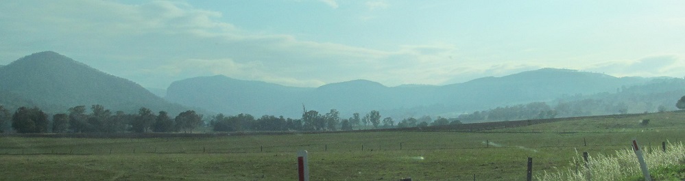
A panorama from the Ross River bridge on Stuart Drive (State Route 17), from the foothills on up to Mt. Stuart.


Sidelong views of Mt. Stuart, and ending with a southeastern view of Mount Elliot.


Views of Castle Hill from Willis Street at Stokes Street (1st photo) and Gregory Street heading west from the coast.


Views of Castle Hill from Castle Hill. The rest of the photos on this page are taken from somewhere on the hill.

A friendly pair of wild cockatoos on the hillside.


This monument adorns the peak.


Starting in the west, you can see Mt. Louisa from the road up and Mt. Kulburn from the top.


Cape Pallarenda and the RAAF radar station at its top.


Magnetic Island, due north of Castle Hill, from the road up (first 2 photos) and the top.


Continuing to the east, there's Cape Cleveland, then Mount Elliot and its foothills. The 2nd photo in this run is from the road up.

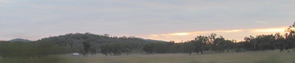


Last feature, looking south, is Mt. Stuart. The last photo is westerly enough to show the Hervey Range in the distance. Go any further and you're back to Mt. Louisa.
Back to Queensland Non-Roads
Back to Non-Roads main page