Queensland - Flinders Hwy.
Flinders Highway, Highway A6
All photos were taken heading west from Townsville.


To the left, Mt. Elliot (1) and its foothills (2). To the right (3), the Hervey Range.


Mt. Elliot (1), Hervey Range (2), and a closeup of some interesting-looking rocks.


First photo looks right (west) at Mt. Flagstone. The second one looks back behind me (northeast) at the Mt. Elliot foothills. The last two photos show that the interesting-looking rocks are actually part of a quarry. This is the mine at Calcium. I intentionally did not confirm what is mined there.


To the right of the quarry, then another rightward photo of Mt. Prince Charlie while heading south around Woodstock.
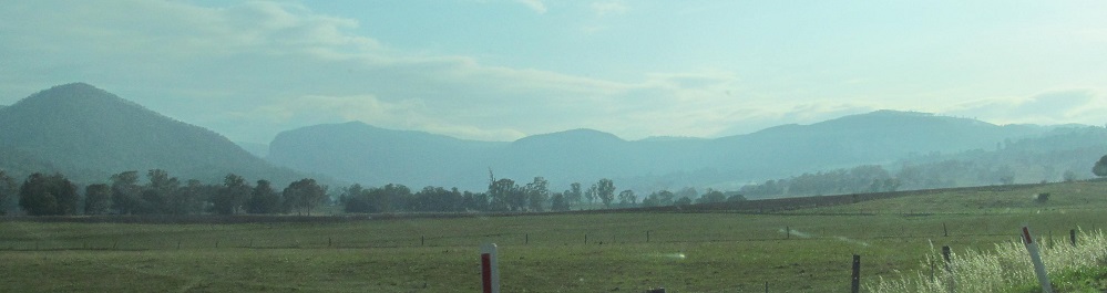

Looking left at Cameron Hill, looking right at the full range of Mt. Prince Charlie.


About 50 minutes past Charters Towers, the Lolworth Range is on the right. It's not really that funny, so I wouldn't say you'll get your lolworth out of it.


Which is your favorite? Prairie, Hughenden, or Julia Creek?


Between Prairie and Hughenden, we have Mt. Arthur on the right, Mt. Walker on the left (everything gets a name when the countryside is so flat), and the Grand Hotel in Hughenden.


The nameless weird split rock is just before entering Cloncurry on the left, and the last photo is where Flinders Highway and Highway A6 end, at the National Route 83 turnoff to the north. Highway A2 continues through these photos and on straight to the west.
Onto Barkly Highway (Highway A2 alone)
Flinders Highway road photos
Back to Queensland Non-Roads
Back to Non-Roads main page