Queensland - Bruce Hwy. - N. of Babinda
Bruce Highway, Highway A1 -
North of Babinda
All photos were taken heading south from Cairns.
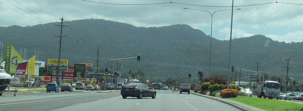
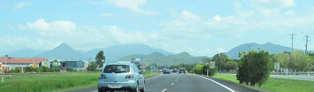
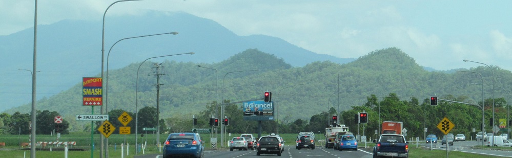
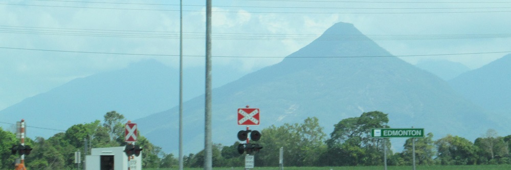
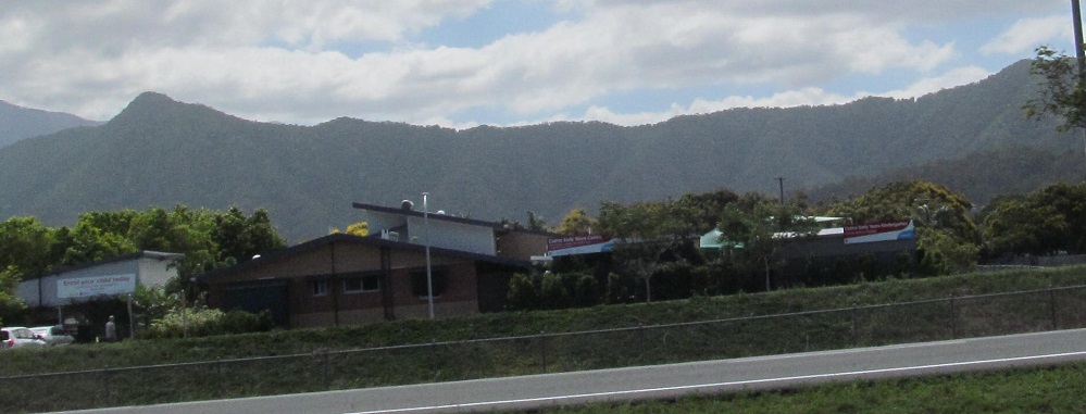
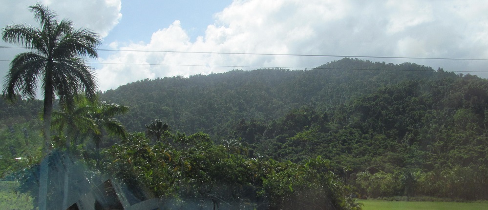
From Lyons Street in Cairns, facing Mt. Sheridan and White Rock Peak, continuing south along the Isley Hills to Edmonton.
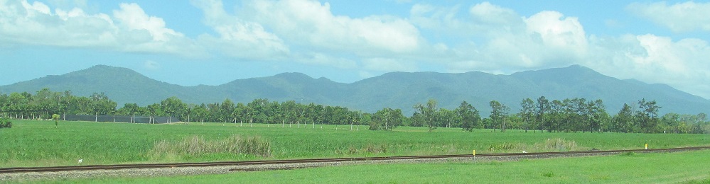
A left/right pair of westward photos, then two eastward photos of the Malbon Thompson Range along the coast.
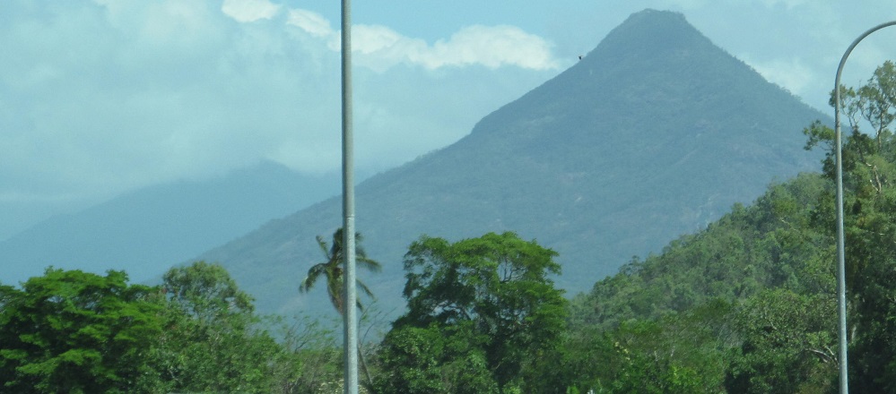
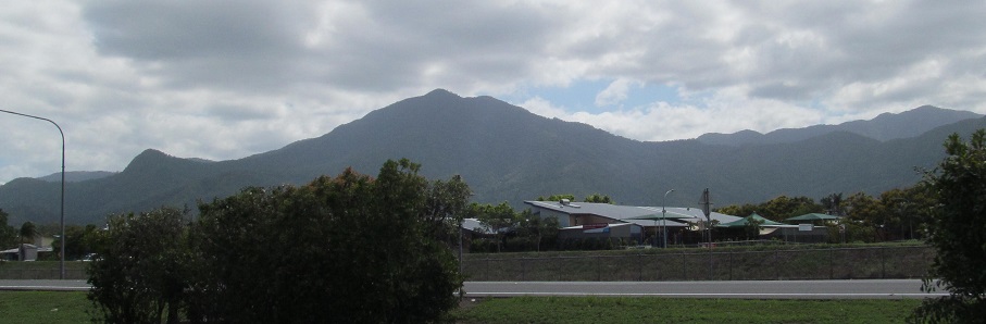
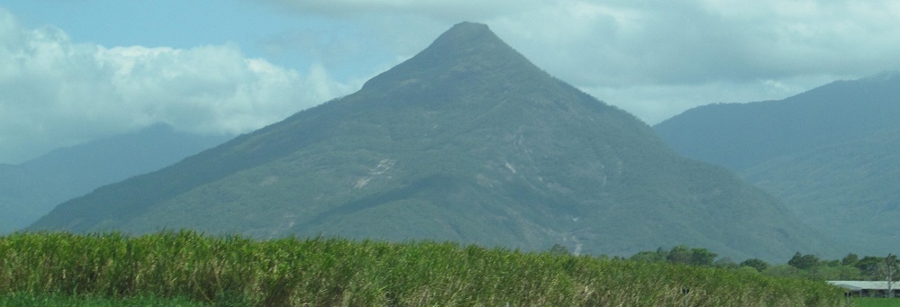
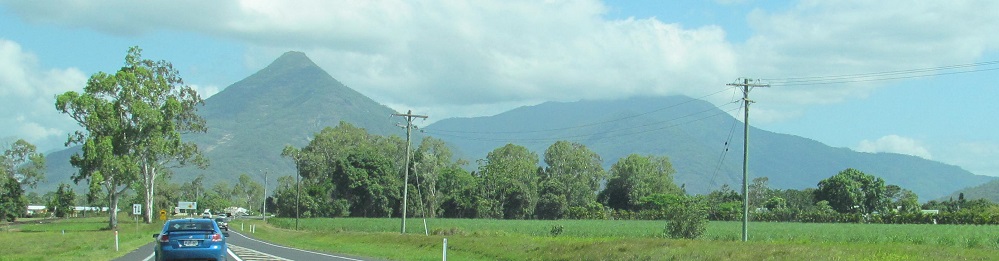
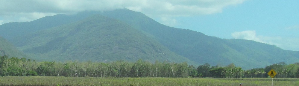
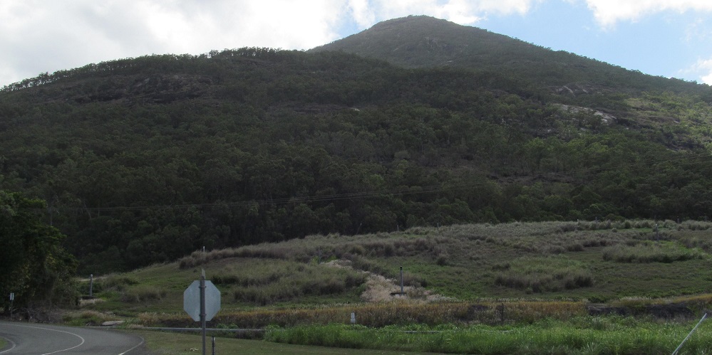
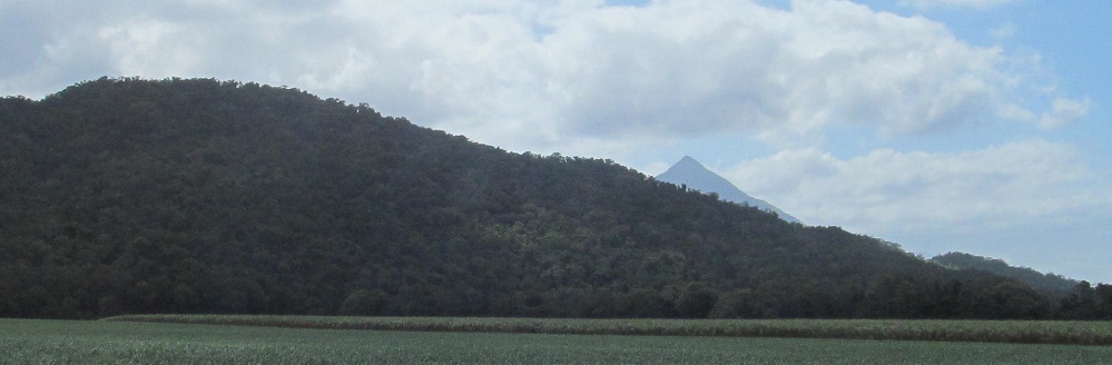
Photos to the south, east, west, and north (okay, SE, SW, and NW for the last three). Walsh's Pyramid is the oddball in the distance.
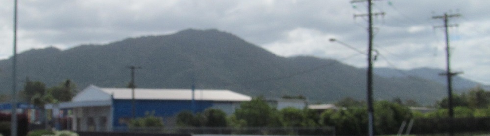
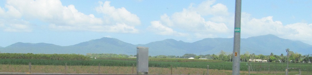
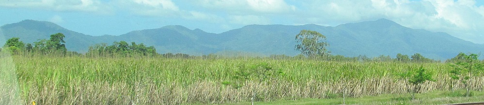
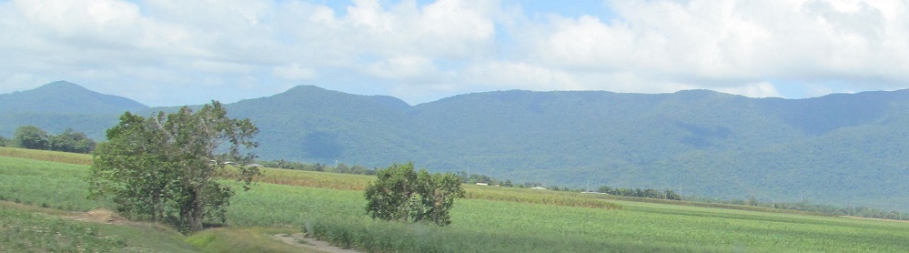
More photos of that pointy pyramid bracket two to the west and one to the east as both the Isley Hills and Malbon Thompson Range continue.
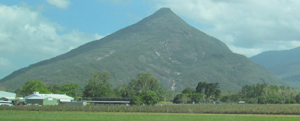
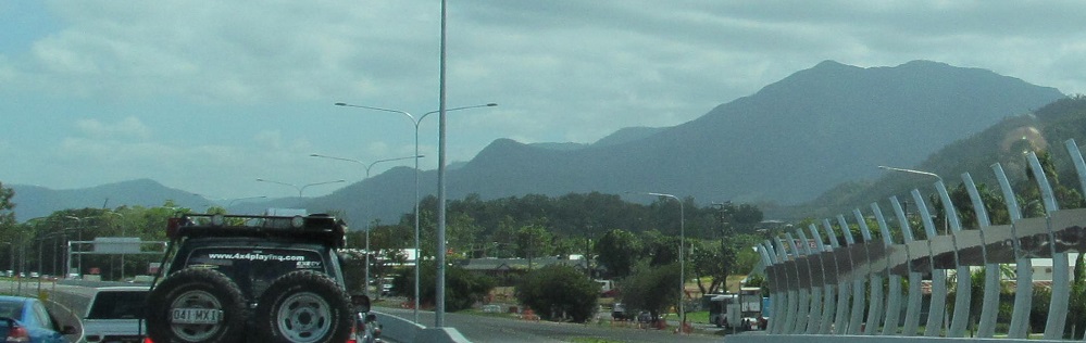
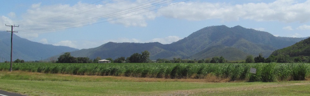
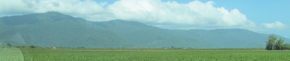
A 3-photo westward panorama from SW to NW, followed by a 2-photo southward "panorama" from left to right at Walsh's Pyramid. Enter Mount Peter in the last photo, due west of Gordonvale.
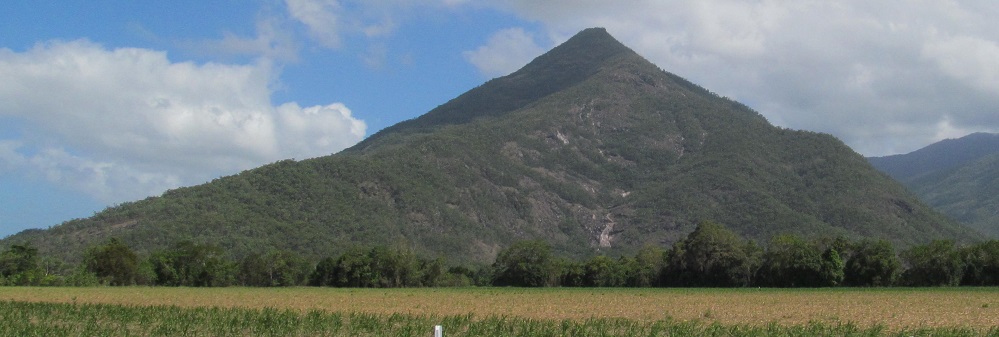
Passing the pyramid now, with Mt. Peter in the middle.
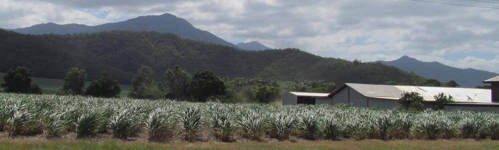
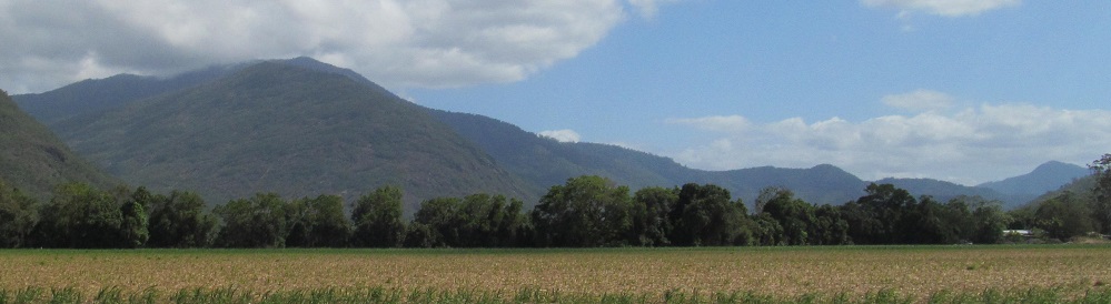
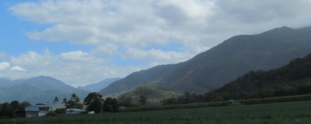
A left/right pair of eastward photos. Bell Peak North and South are at the left of the 2nd photo.
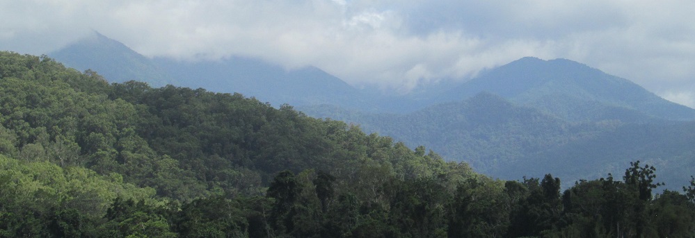
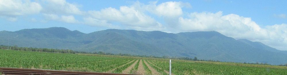
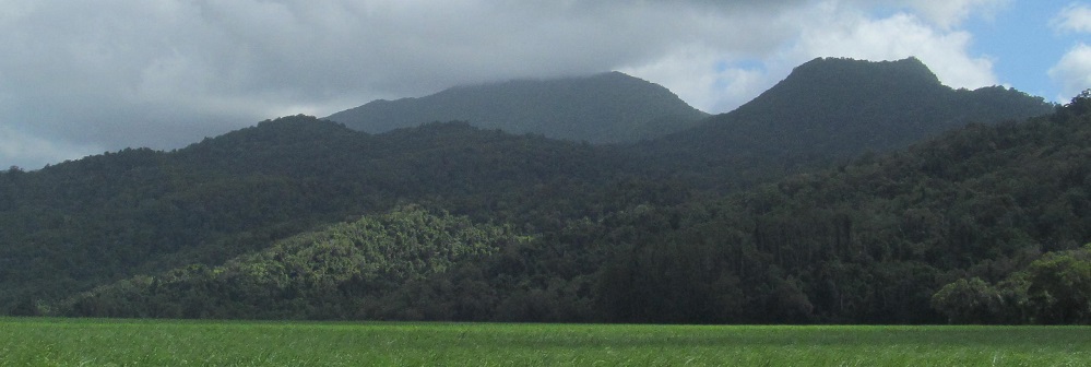
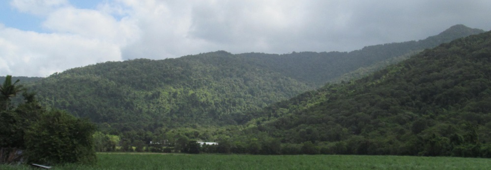
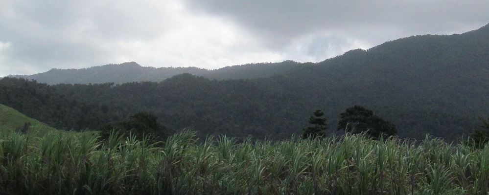
All westward, with the last two making a left/right pair. Bellenden Ker, the second-highest Queensland mountain, is somewhere behind these clouds.
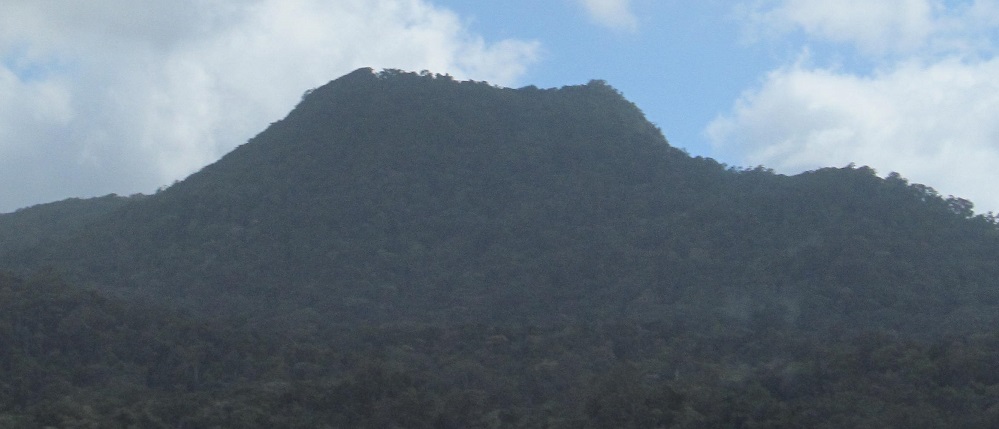
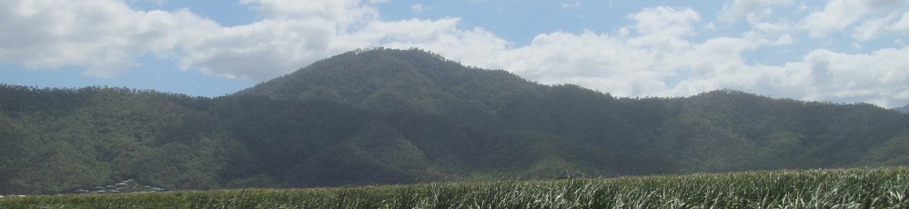
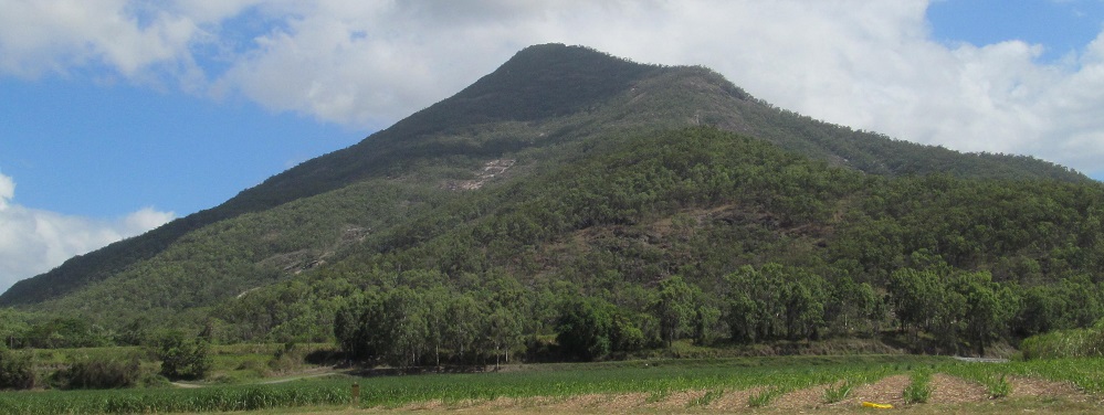
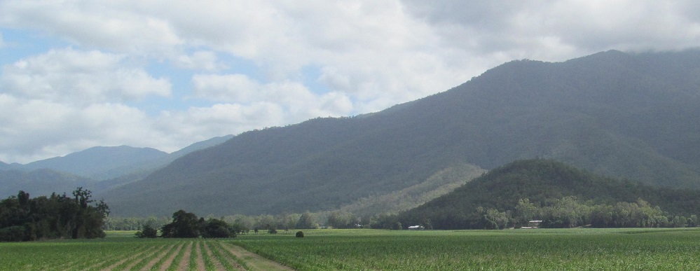
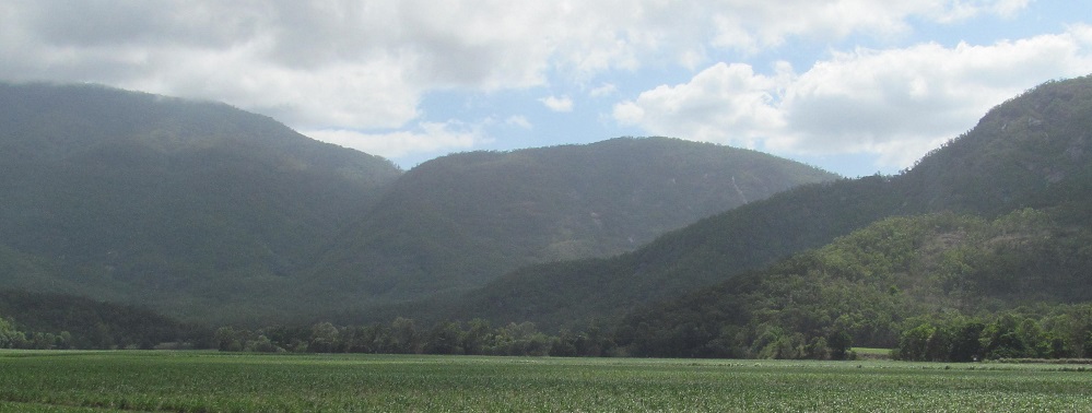
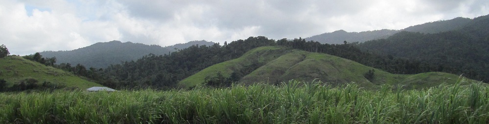
The first photo looks southeast at the south end of the Malbon Thompson Range, and the rest look west at the Bellenden Ker Range (Mt. Toressa in front of Mt. Sophia in the 2nd photo). In fact, they look so far west that the last photo appears to have captured the peak of Walsh's Pyramid to the northwest.
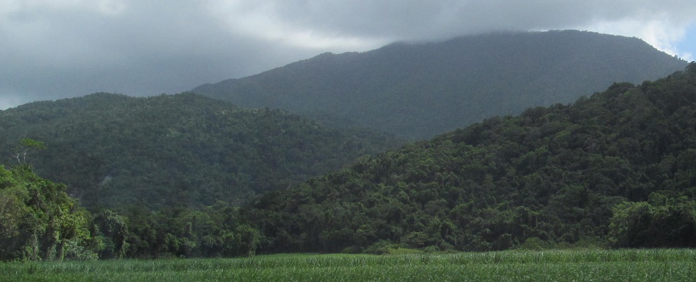
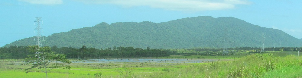
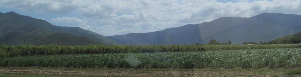
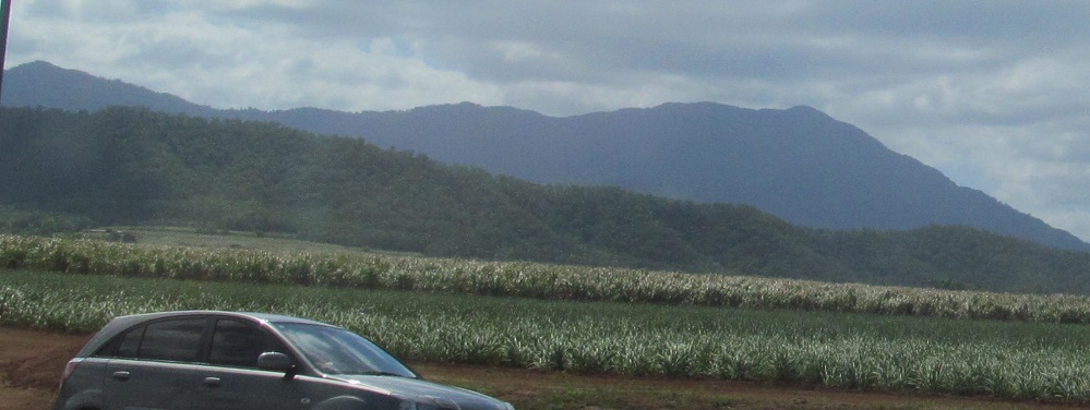
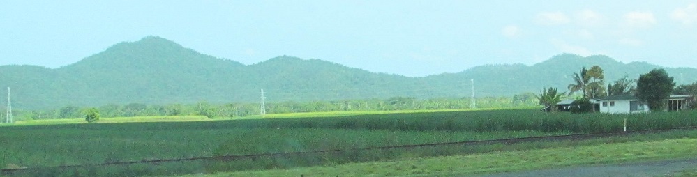
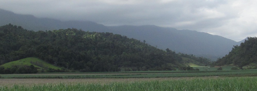
Two eastward photos bracket three westward ones. The last photo looks ahead to the Graham Range.
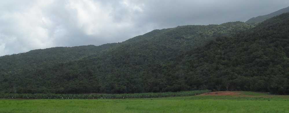
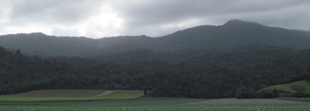
All southwestward photos heading into Bellenden Ker the town (as opposed to the mountain).
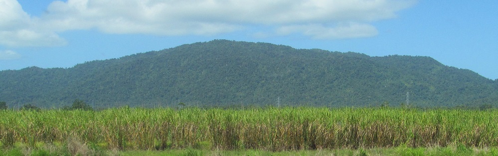
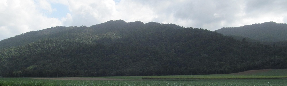
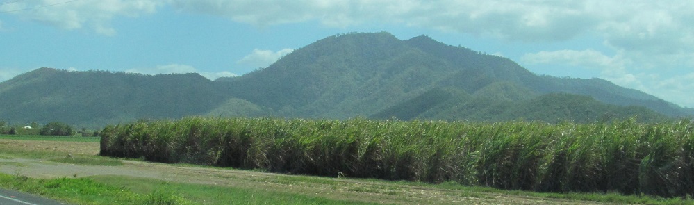
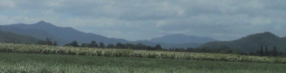
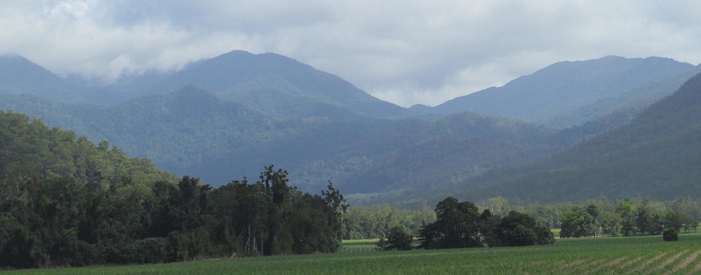
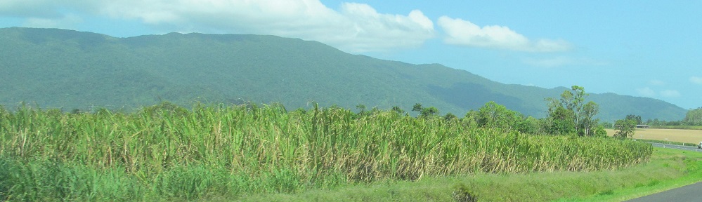
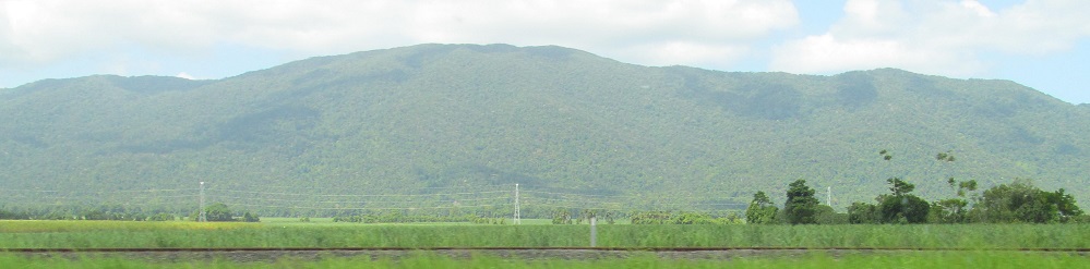
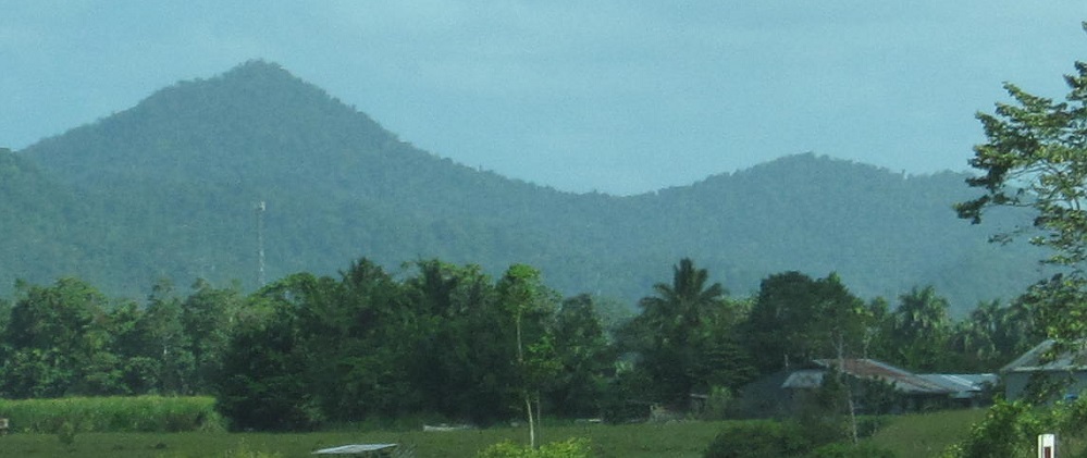
2 Graham Range photos to the east, 2 Ker Range photos to the west. Now where have I heard that name before?
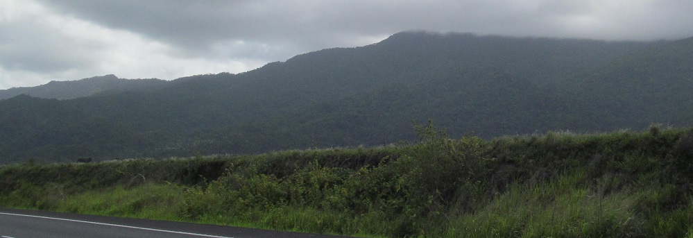
One last photo to the east and west before I reach Babinda.
Into Babinda
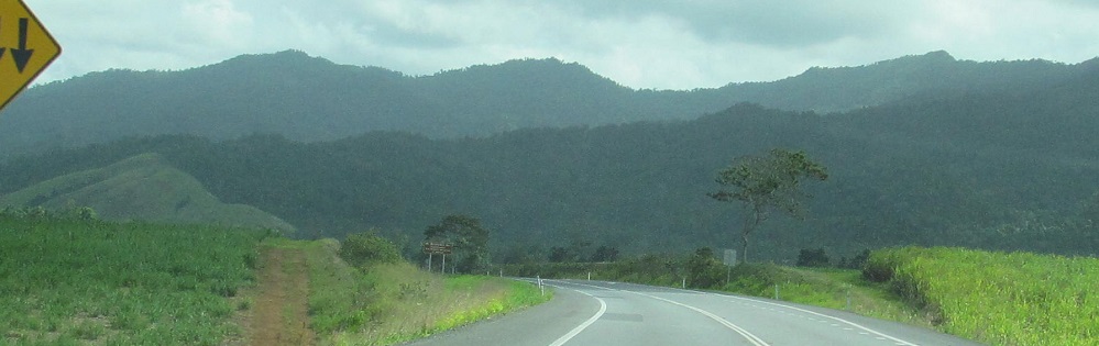
Continue south on Bruce Highway
Back to Bruce Highway main page
Bruce Highway road photos
Back to Queensland Non-Roads
Back to Non-Roads main page