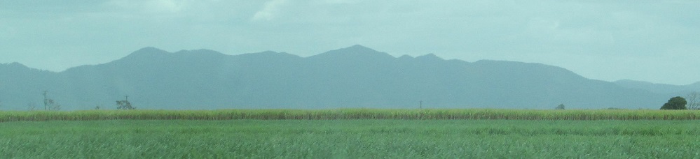
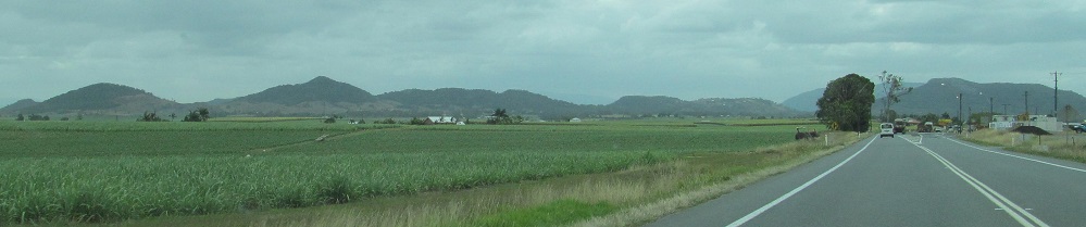
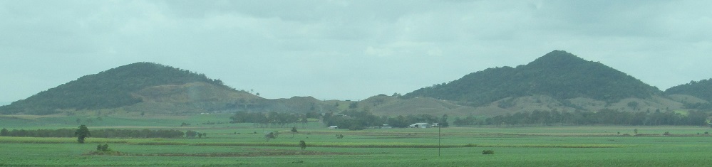
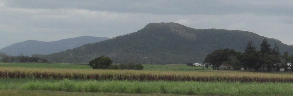
Queensland - Bruce Hwy. - S. of Proserpine
Bruce Highway, Highway A1 -
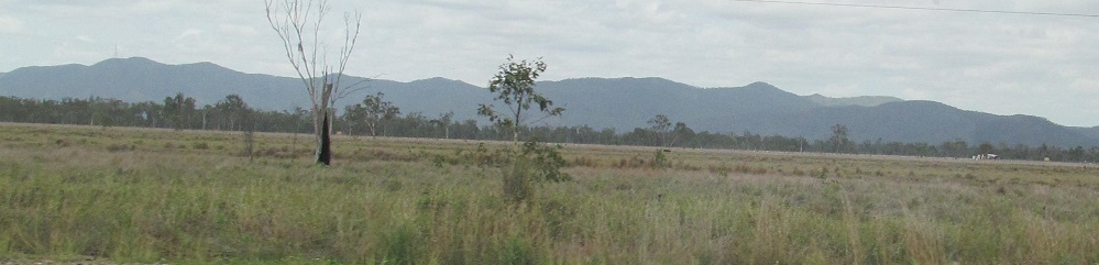
South of Proserpine
All photos were taken heading north.
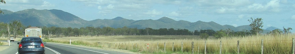
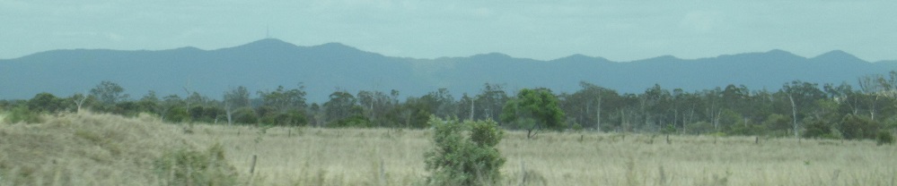
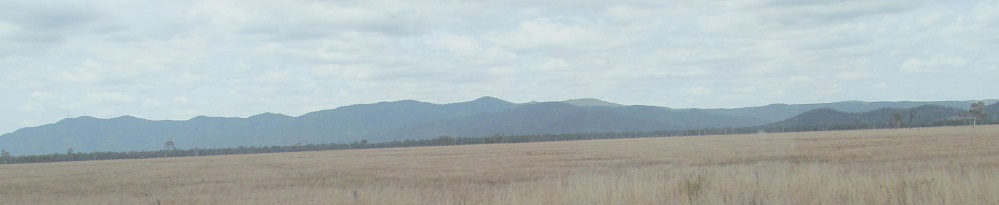
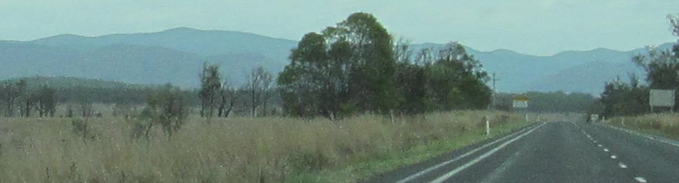
The Many Peaks range looking west out of Miriam Vale, to Mt. Coulston 2 minutes past Bororen.
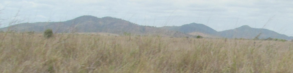
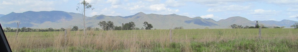
The Dee Range, panning from northwest to southwest on the north side of Raglan, featuring Mt. Plumtree (right), Mt. Dick, and Mt. Hopeful (left).
More views: general Dee Range to the left, Mt. Plumtree to the right in the 2nd photo, then Mt. Dick in the 3rd photo.
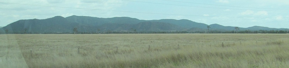
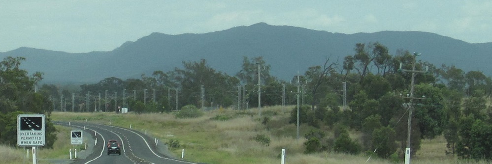
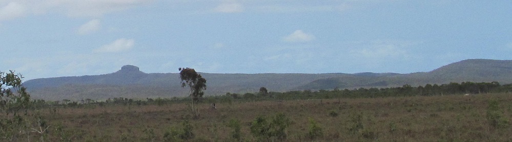
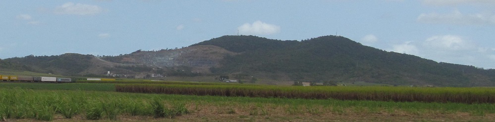
Looking left and right, then jumping north of Rockyview with Limestone Peak ahead and random rocks (Rocky Cone Mountain, Mt. Cobberra, Camp Hill Rock) to the right.
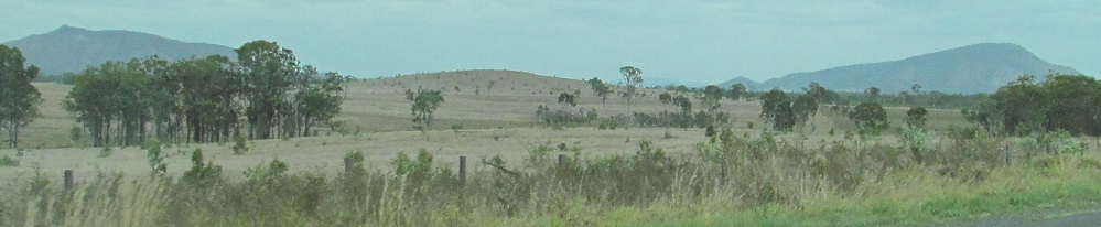
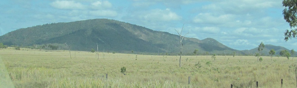
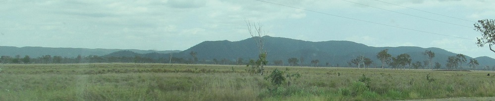
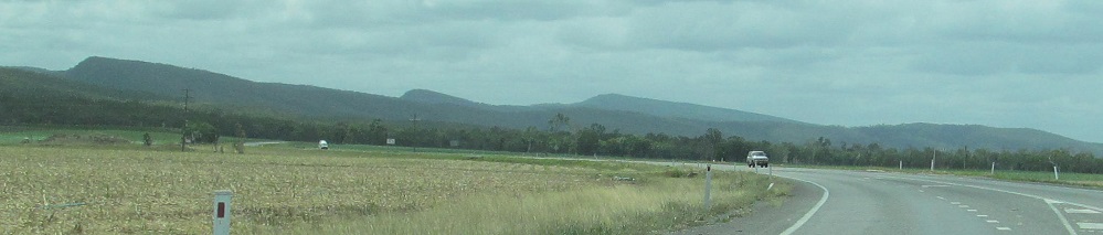
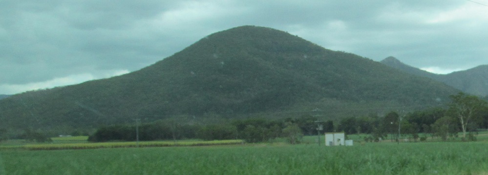
Looking southwest at Mt. Slopeaway (right) and Mt. Redcliffe (left/2nd photo) nearing Marlborough, then a northward view.
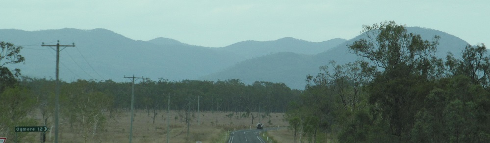
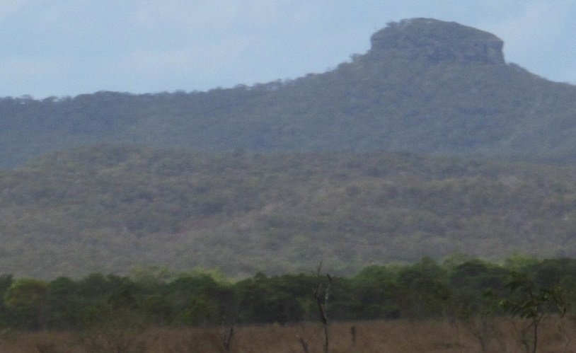
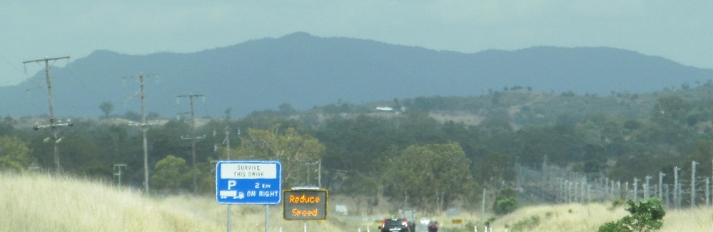
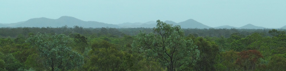
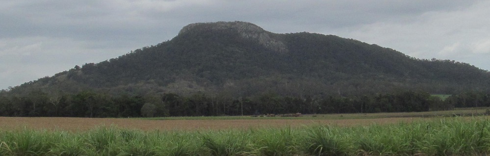
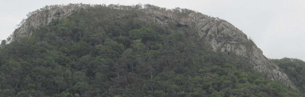
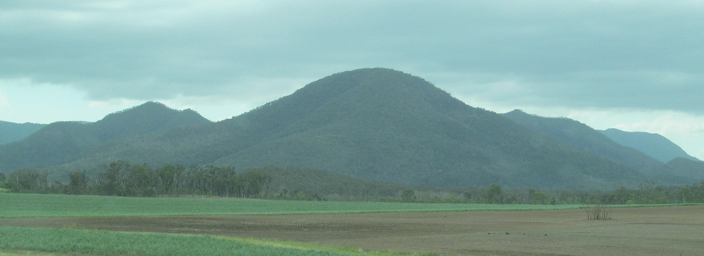
Photos of the Campbell Range and Mt. Buffalo near Ogmore Road, then jumping an hour past West Hill State Forest until I'm looking east at the Funnel Range and strangely shaped Mt. Funnel near Ilbilbie in the last two photos.
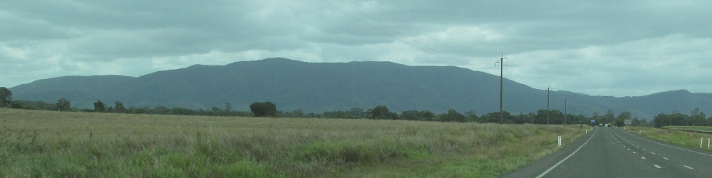
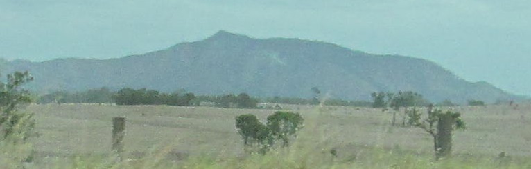
Northwestern scenery, featuring Castle Mountain, in the Koumala area.
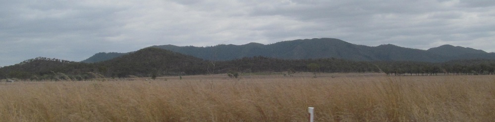
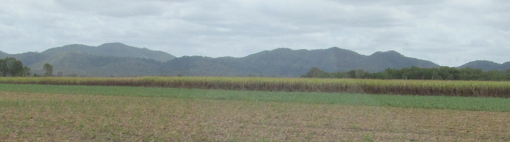
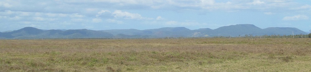
A right/left pair of faraway Connors Range views to the west from north of Sarina, then the Mt. Bridgman section of the Connors from Chelona.
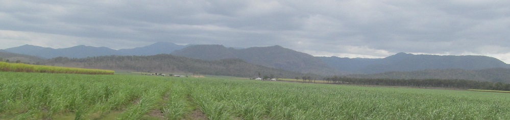
Looking west from Farleigh at The Leap (right side of 1st photo) and, to its left, Sugarloaf Peak (right side of 2nd photo), then closer views of The Leap and that peak to the left of Sugarloaf.
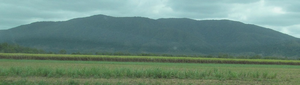
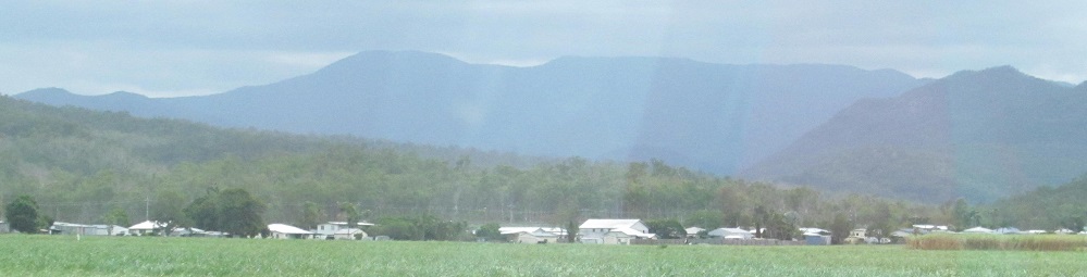
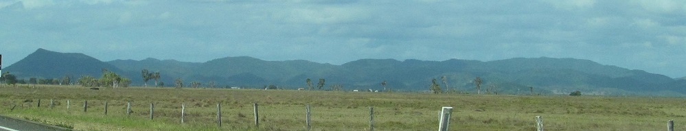
A bunch of northward views past The Leap and Mt. Blackwood to Beallah.
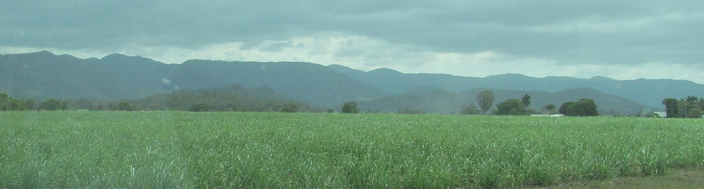
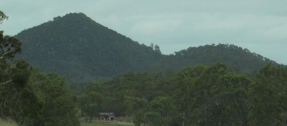
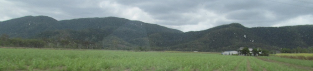
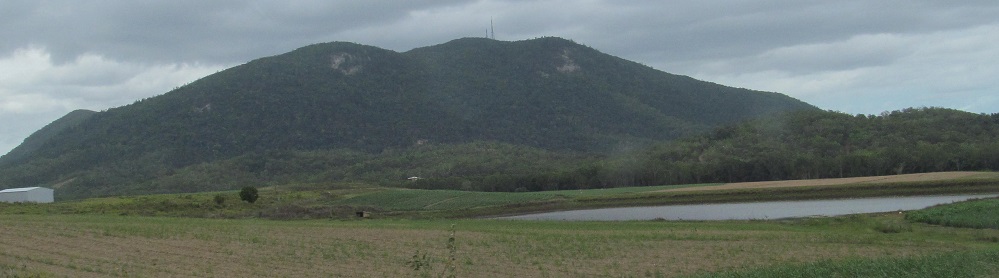
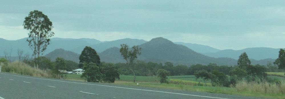
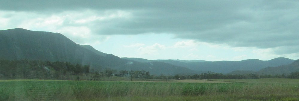
Westward views of the Whiptail Range around Calen, ending at Mt. Catherine guarding her sisters Mt. Beatrice (left) and Mt. Zillah (hiding) in Eungella National Park.
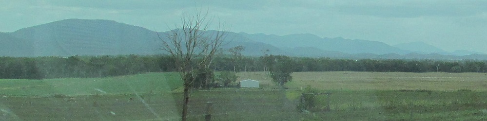
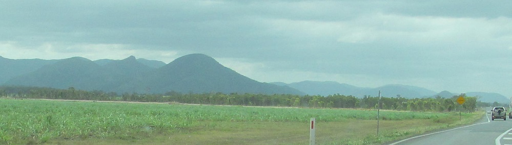
Looking north around Pindi Pindi, then passing the Eungella sisters on the left.
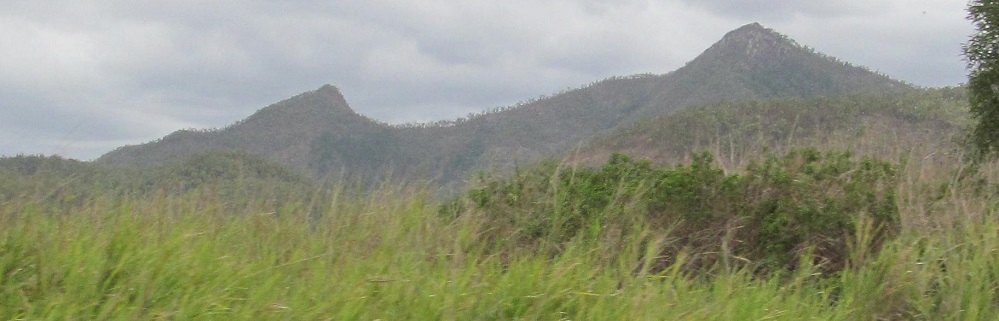
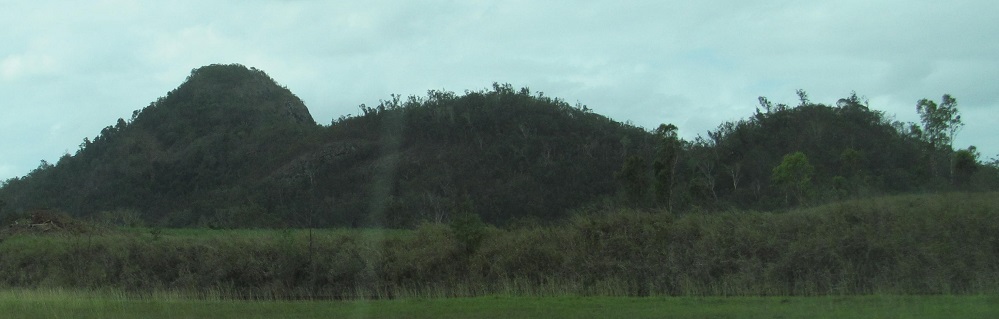
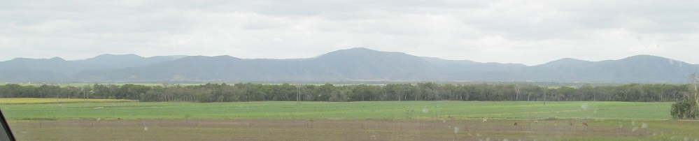
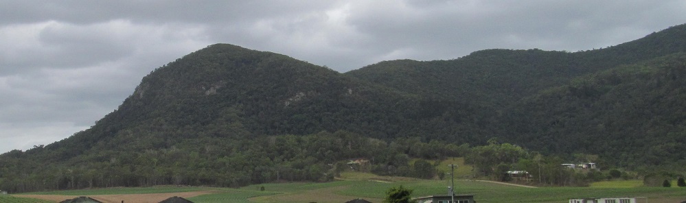
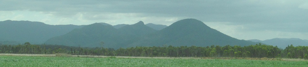
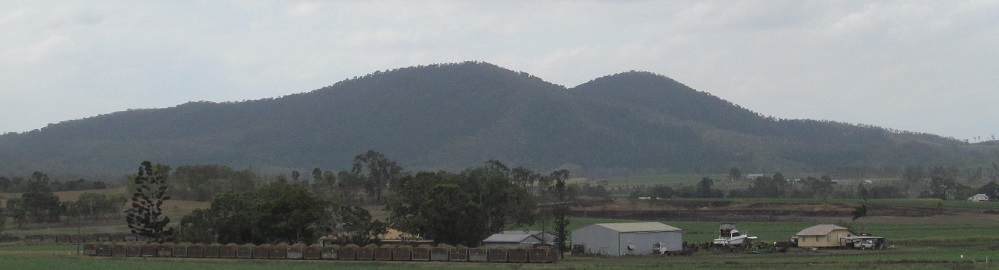
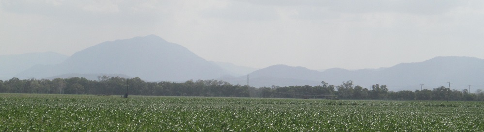
You can finally see Mt. Zillah in the first photo, to the right of its twin Mt. Beatrice. Rocky Mountain is to the northeast in the 2nd photo, and then I'm looking west at Mt. Seemore and the Clarke Range at the Cathu State Forest turnoff.
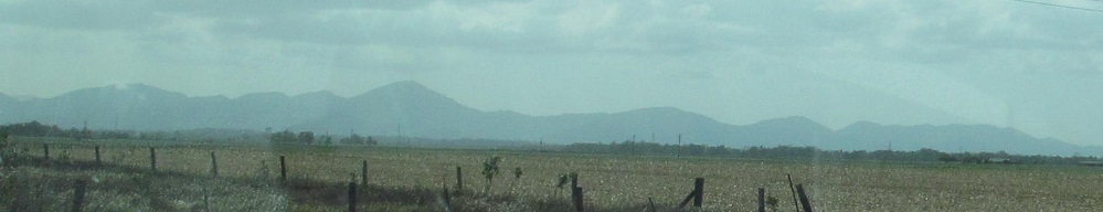
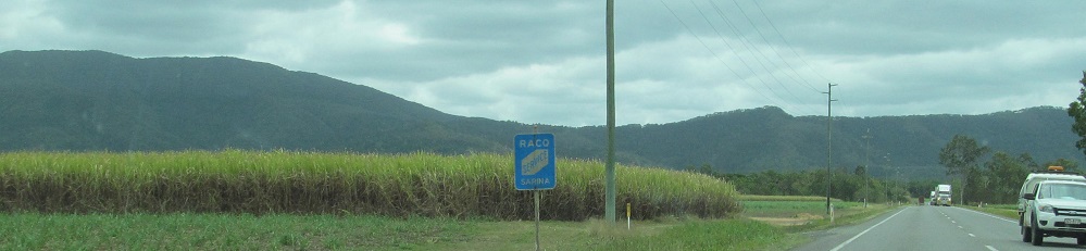
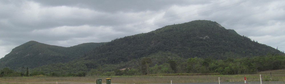
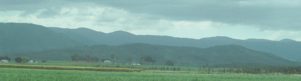
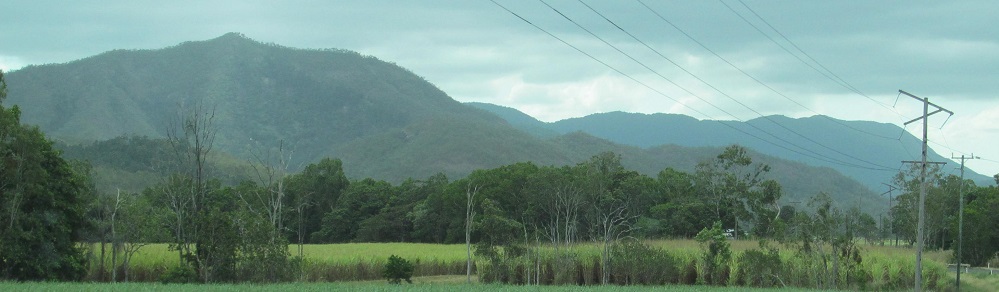
Now north of Lethebrook, I'm first looking west toward Proserpine State Forest and Mt. Quandong, then the remaining photos look east at Conway National Park and Mt. Proserpine. Why isn't Mt. Proserpine in Proserpine State Forest? A name switch is in order.
Continue north on Bruce Highway
Mackay (on old National Highway 1)
Big Crab, Bulls/Cow, Cane Toad, and other Big Things
Back to Bruce Highway main page
Bruce Highway road photos
Back to Queensland Non-Roads
Back to Non-Roads main page