Ontario - Kakabeka Falls - Park/Falls
Kakabeka Falls park and falls photos
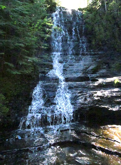
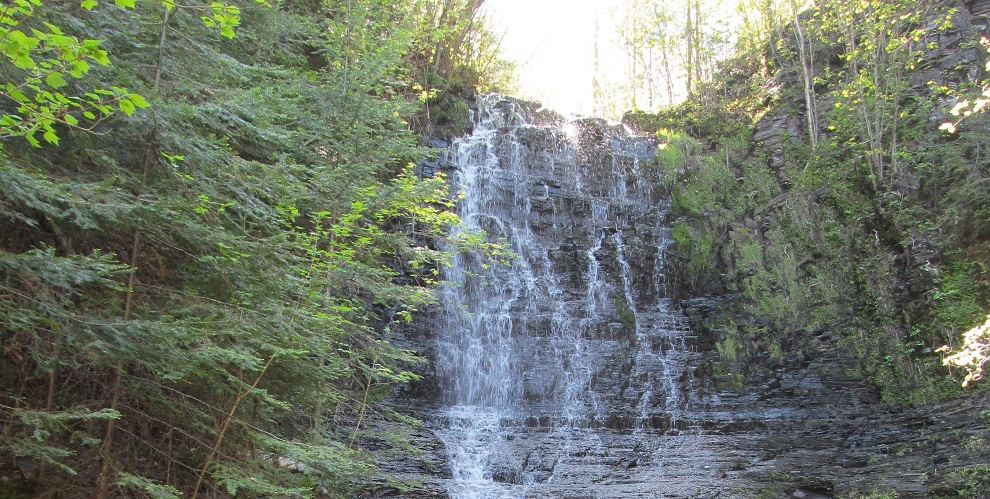
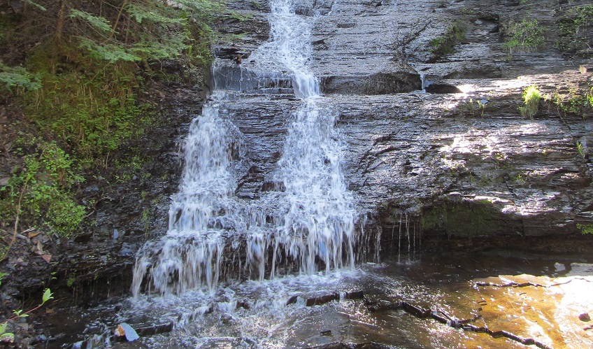
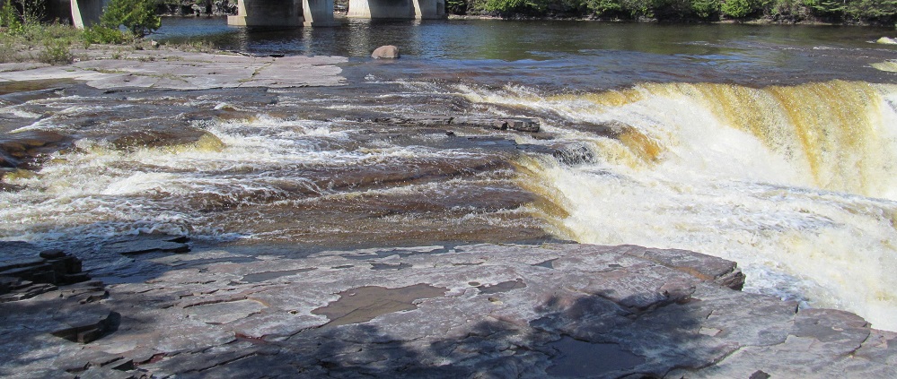
This is not Kakabeka Falls. This is Little Falls, just down the Mountain Portage Trail that I gather was the actual portage used to transport canoes and goods around Kakabeka.
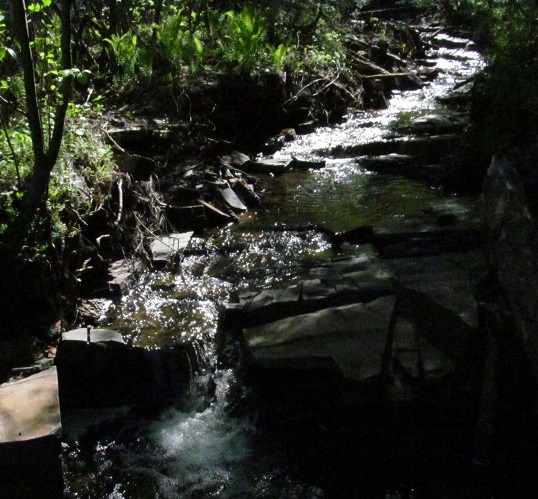
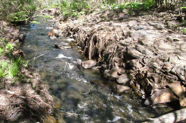
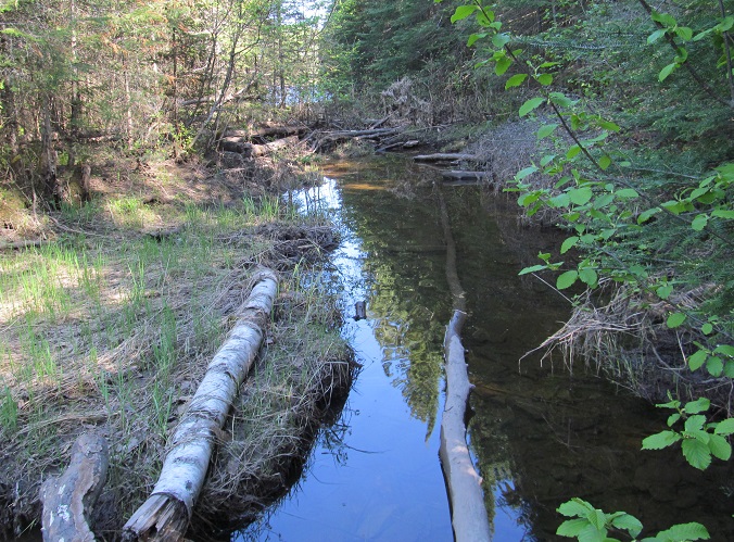
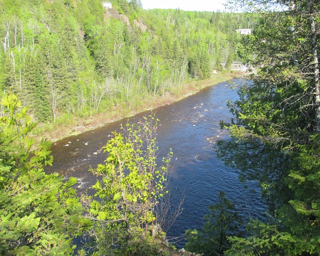
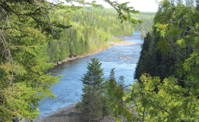
Looking west and east along the creek that traverses Little Falls on its way to the Kam (inistiquia) River.
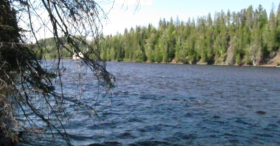
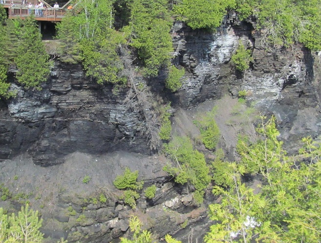
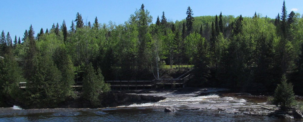
The view north from the mouth of the creek includes a riverside structure. Let's head up.
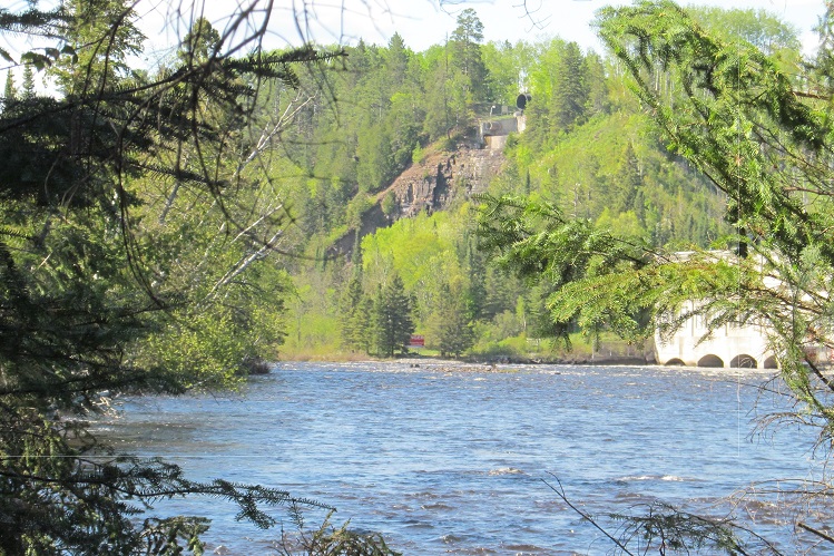
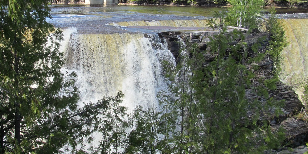
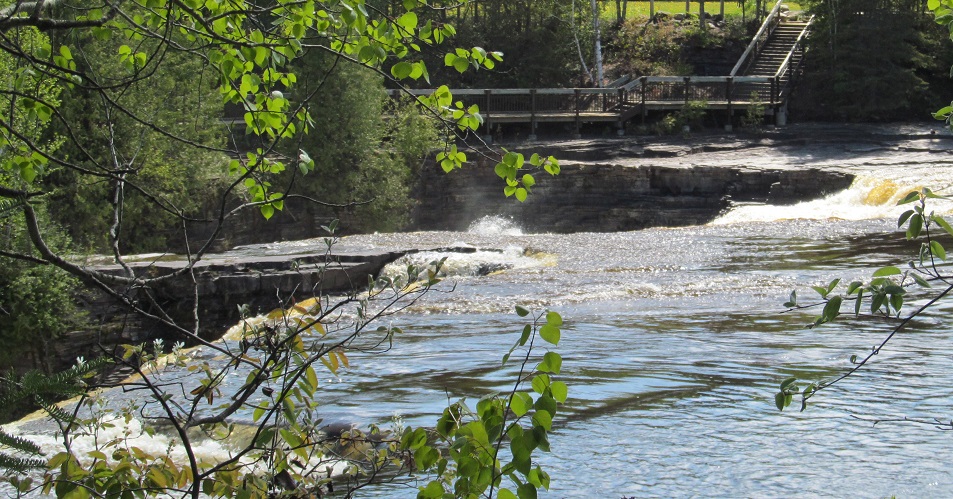
This is the hydroelectric outflow from the Kam Dam (my name, but don't take it away from me) that's just upstream of the falls.
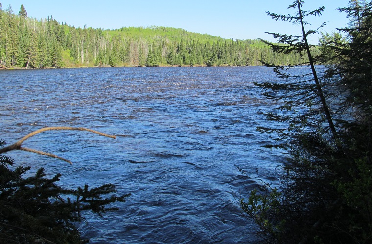
Looking right (more southerly) from the outflow and then behind me at a beaver-dammed creek.
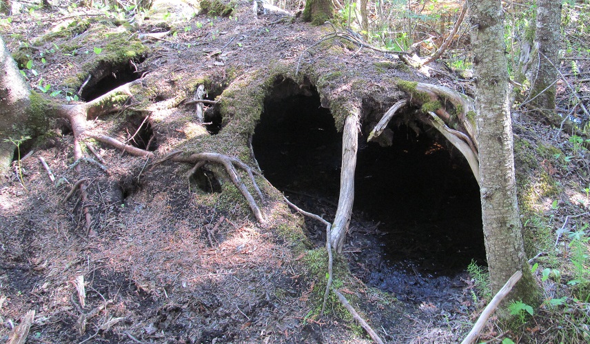
This root system cave piqued my curiosity, but not enough to venture inside.
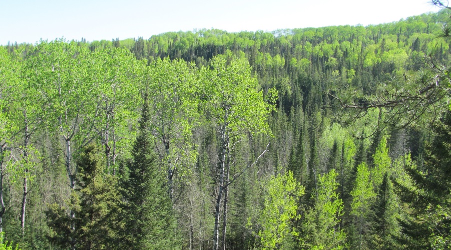
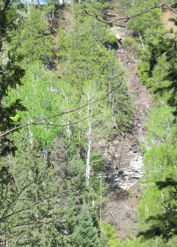
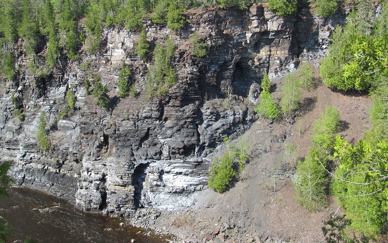
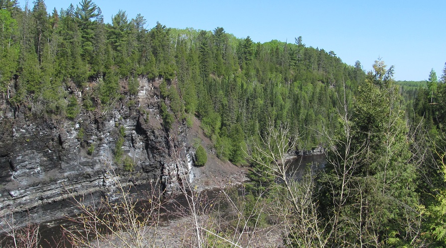
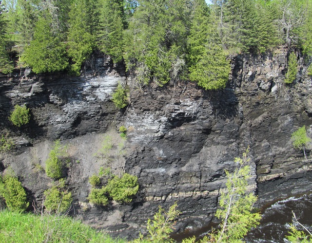
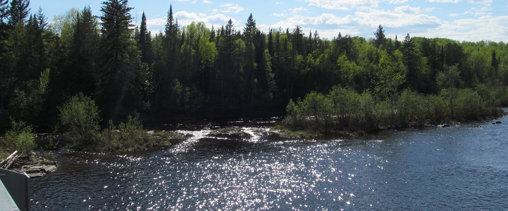
Other sights from the Mountain Portage Trail that aren't a waterfall.
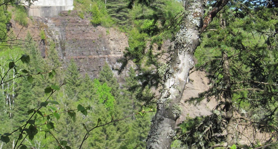
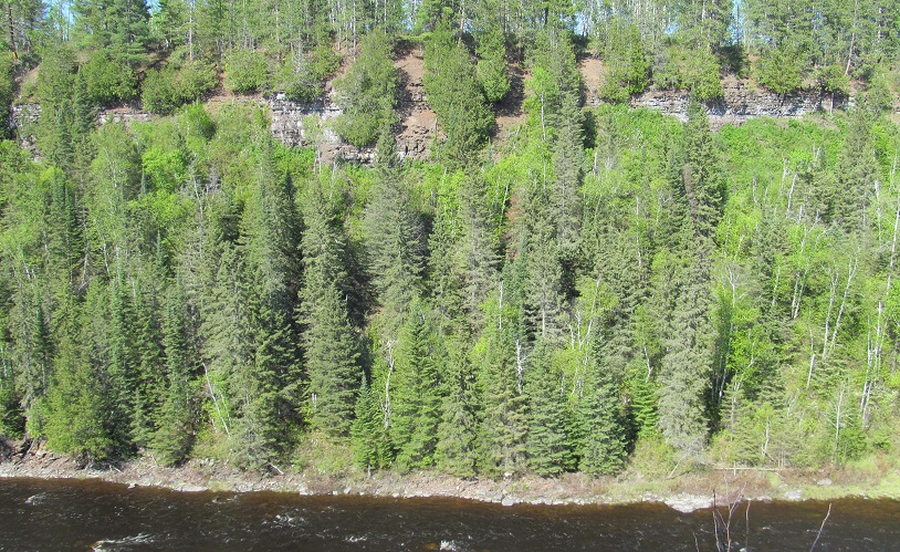
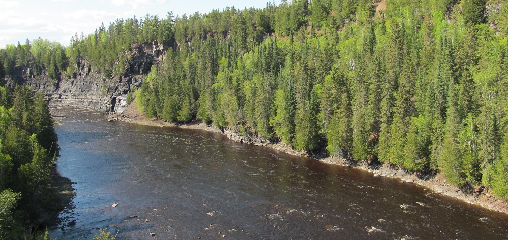
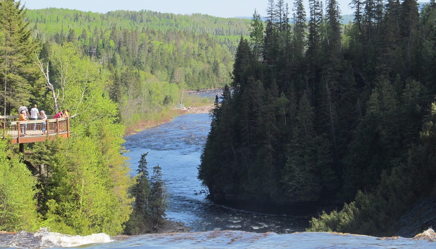
Panning from south to north at a trail lookout near the mouth of Kakabeka Falls. The outflow is the white box in the distance of the first photo.
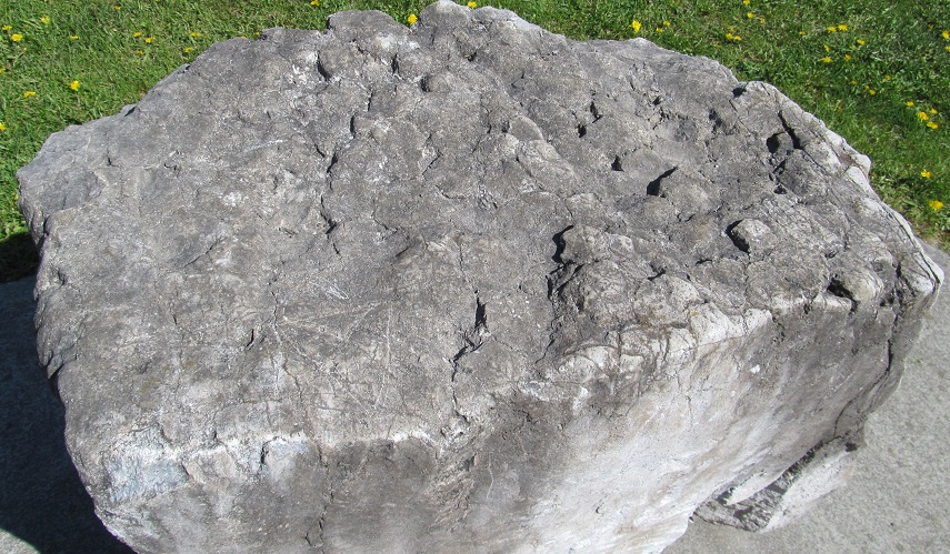
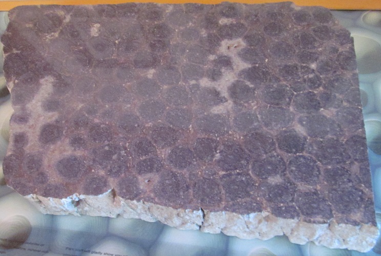
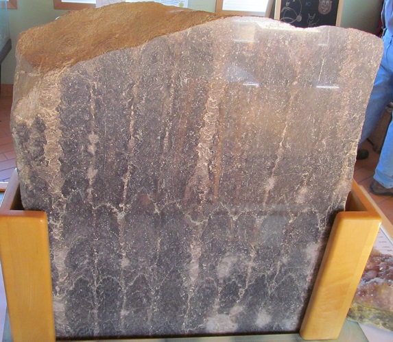
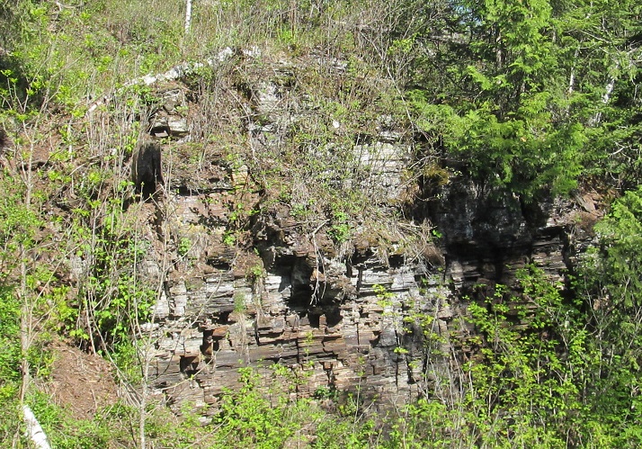
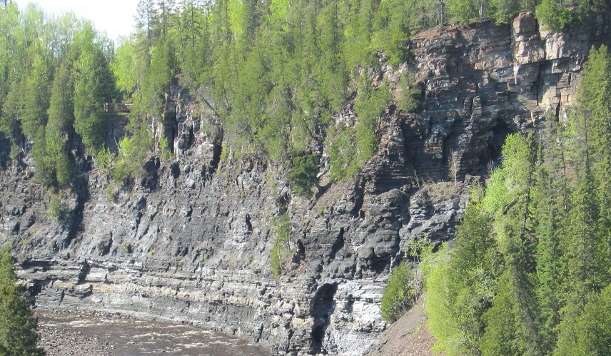
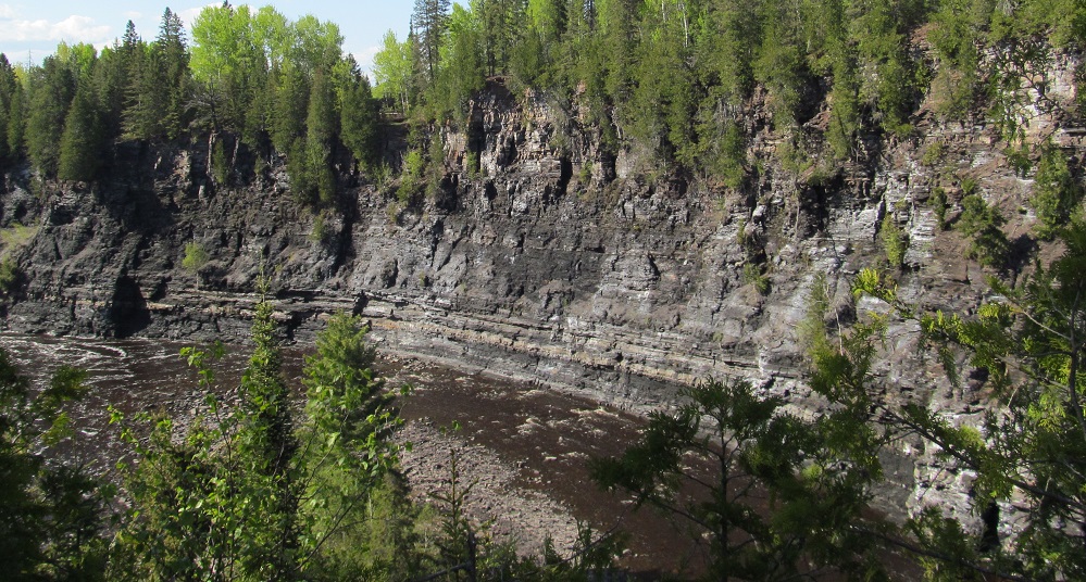
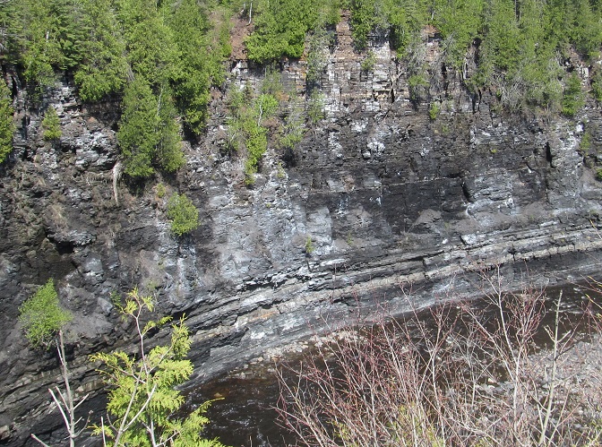
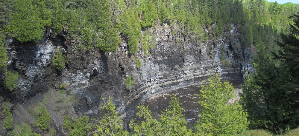
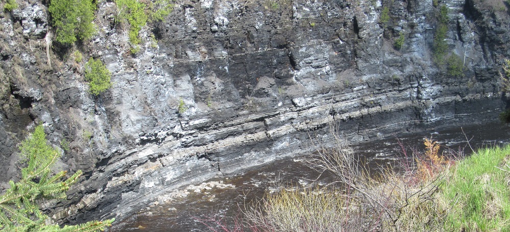
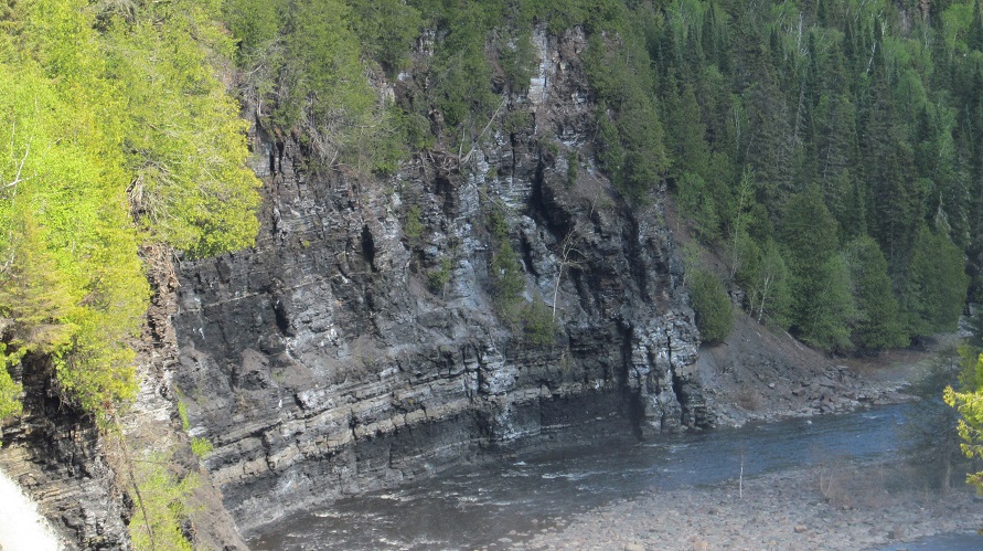
The rock formations are primarly shale (horizontal banding) and these rocks (vertical banding), known as stromatolites. They're actually organic rocks, produced by blue-green algae over a billion years ago when this part of the Earth's crust was a seafloor. The first photo is a natural, unpolished stromatolite, followed by horizontal and vertical sections (inside the visitor centre) to reveal how the algae stacked in columns.
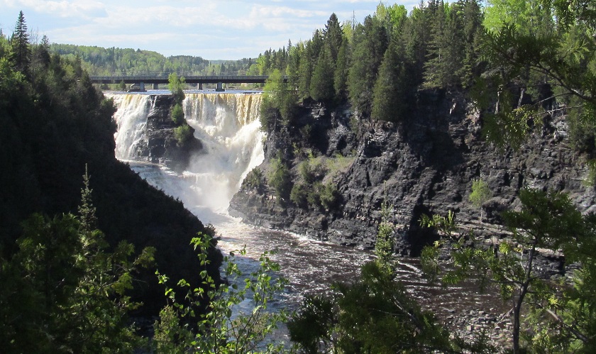
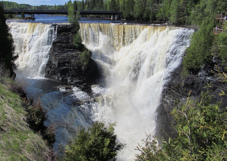
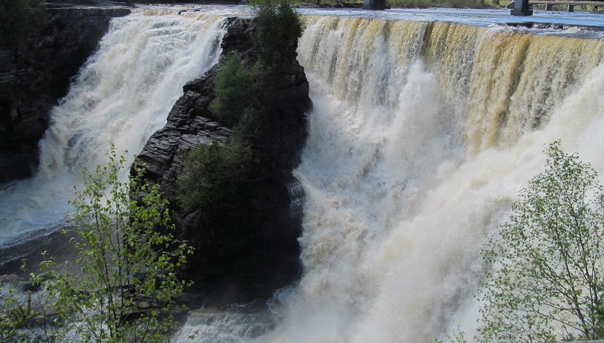
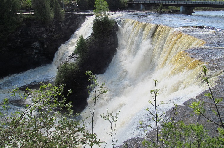
What's that? Let's see the falls? Here are the falls. Let's get progressively closer.
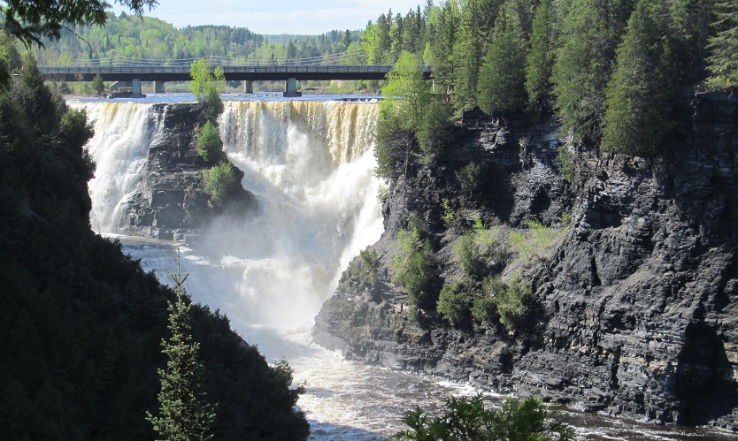
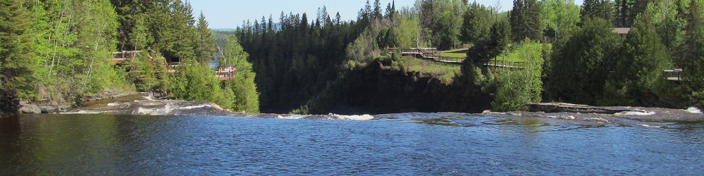
A little closer, panning from north to east along the Kaministiquia.
Panning back from southeast to north, and hey, look, I'm that much closer to the falls.
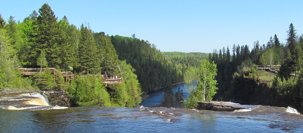
Back to the viewing platform on the west side of the river, with views of the falls to the north and river to the east.
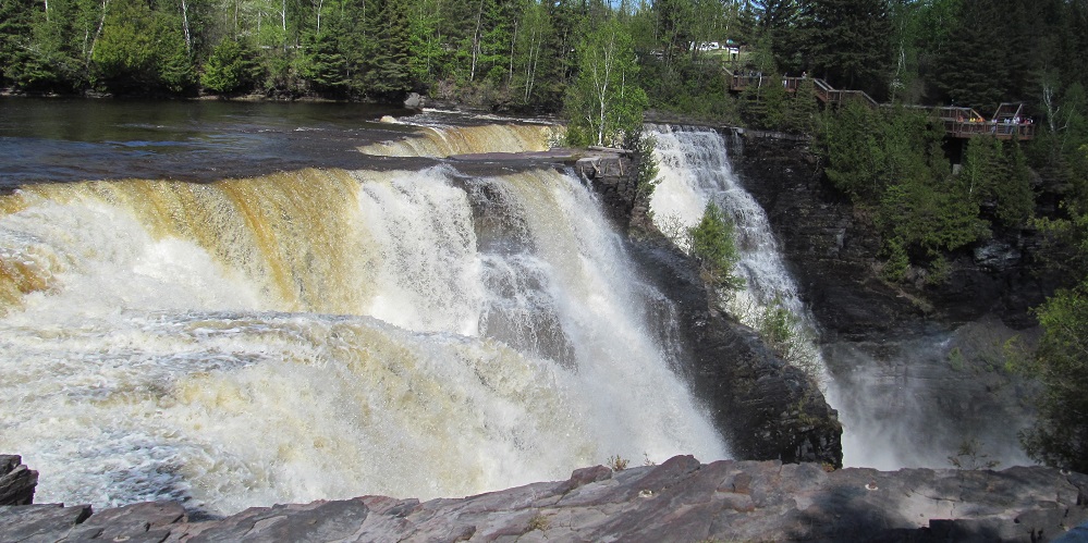
A different kind of pan: my camera stays focused on the falls as I walk from the pedestrian bridge south to the viewing platform, thus gradually revealing Kakabeka's grandeur.
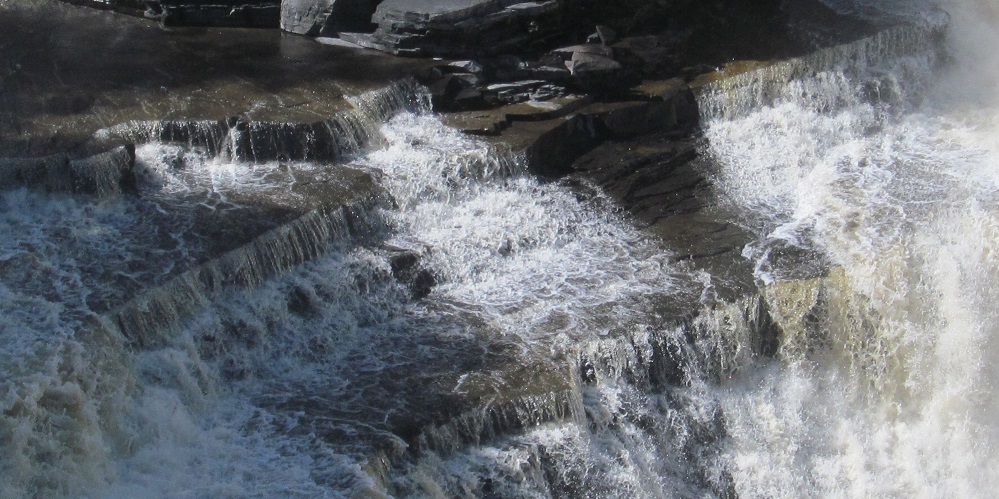
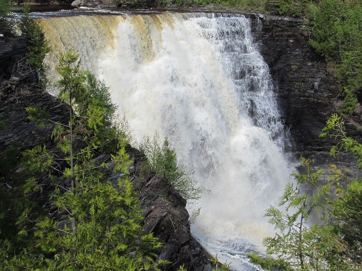
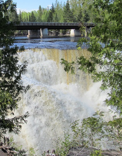
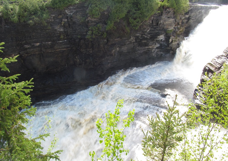
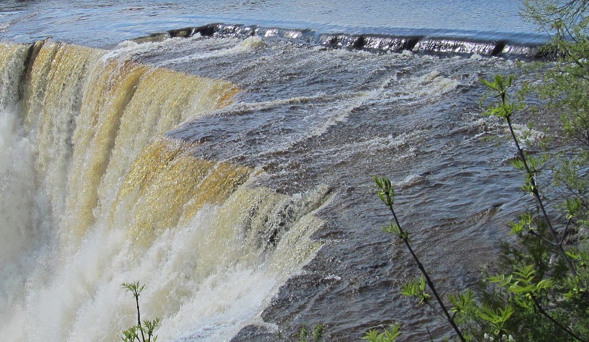
Photos you can only (safely) get from the bridge, looking south at the top of the falls as I cross back to my car on the east side.
From the east side, looking back west to the north and south sides of the bridge, respectively. For your planning purposes in how long to stop here, these photos were taken 75 minutes apart.
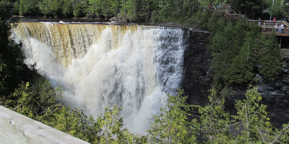
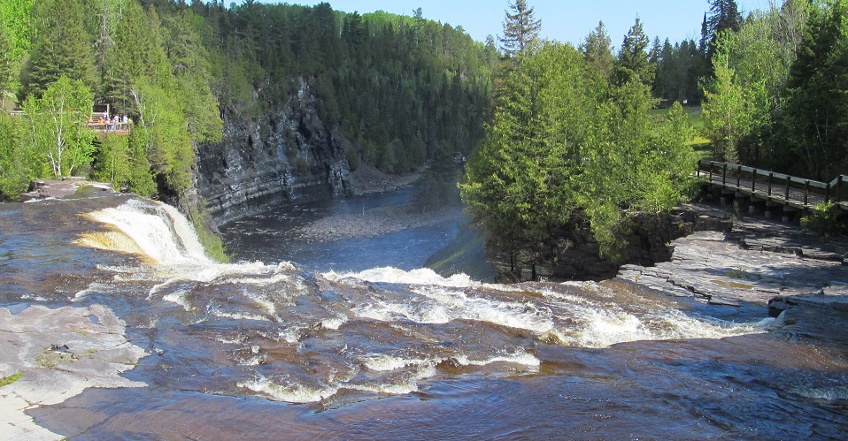
The views south and west from the exact east side of the falls.
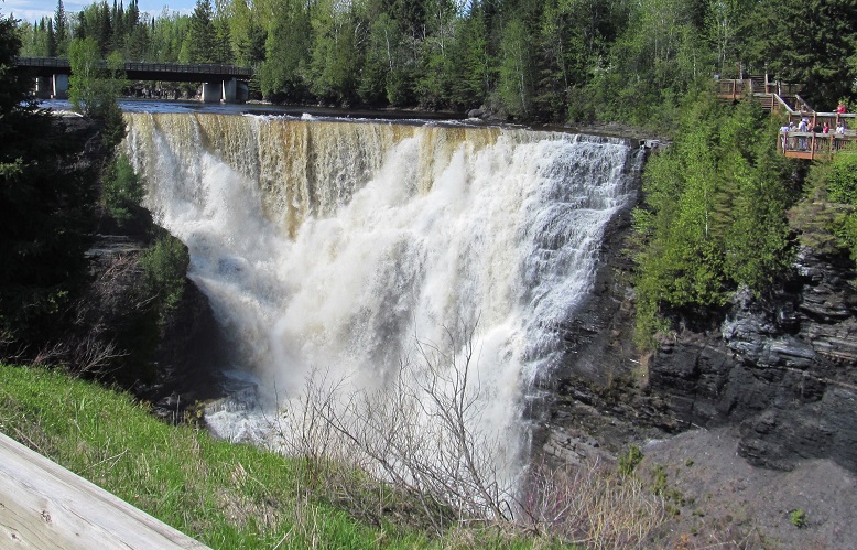
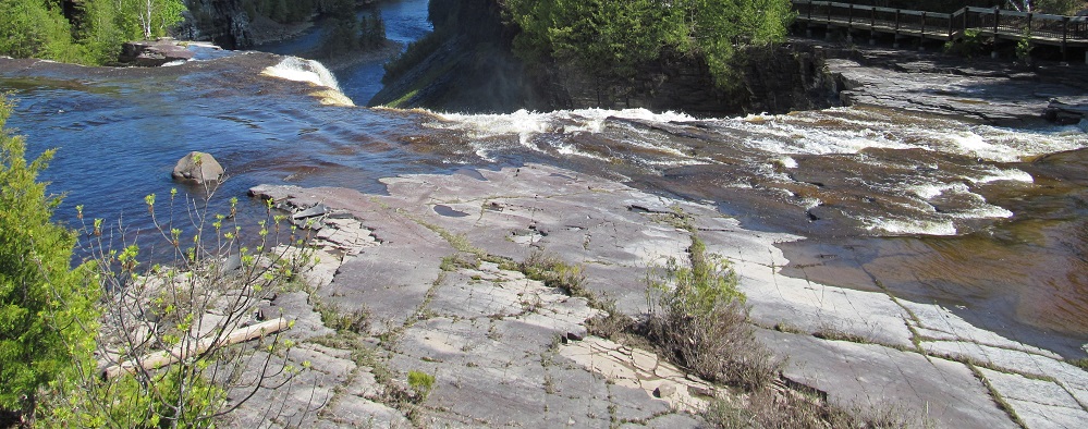
Two last paired views (top/bottom and left/right) as I head back to the parking lot.
Back to Kakabeka Falls main page
Back to Ontario Non-Roads main page
Back to Non-Roads main page