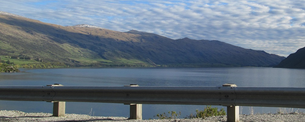
New Zealand - Lake Wakatipu - S
Lake Wakatipu - southern
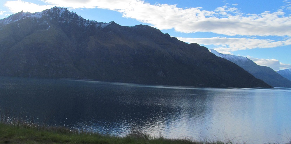
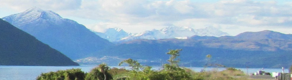
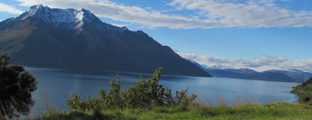
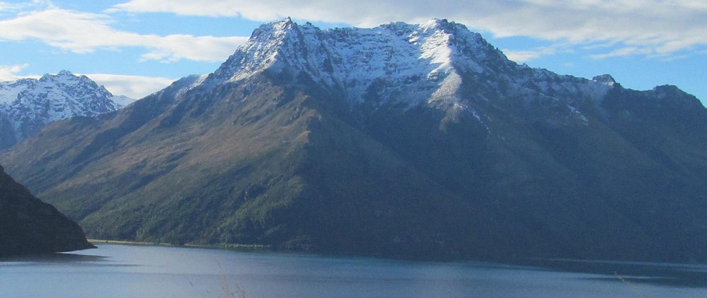
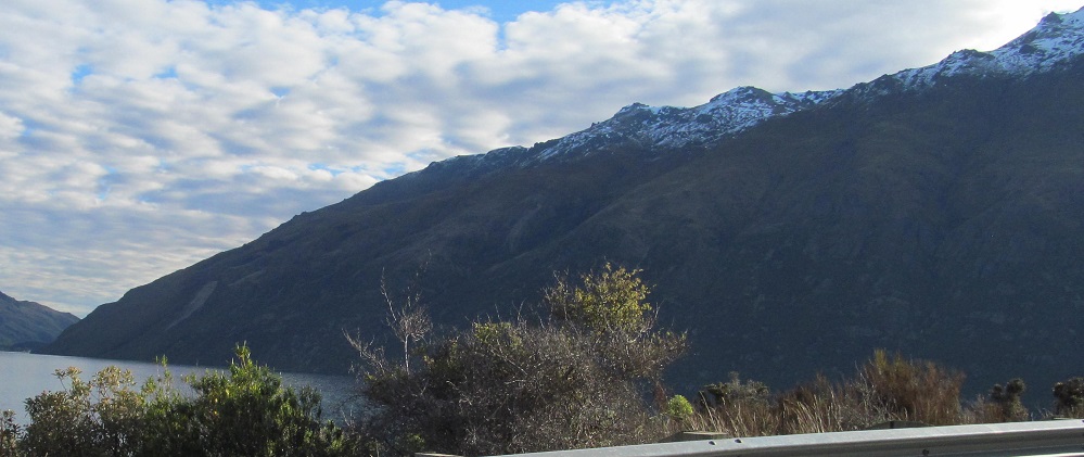
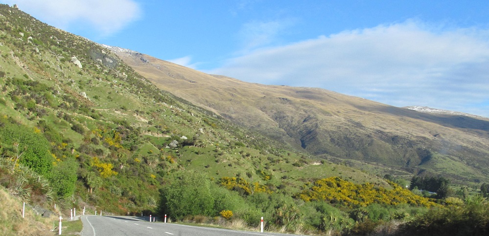
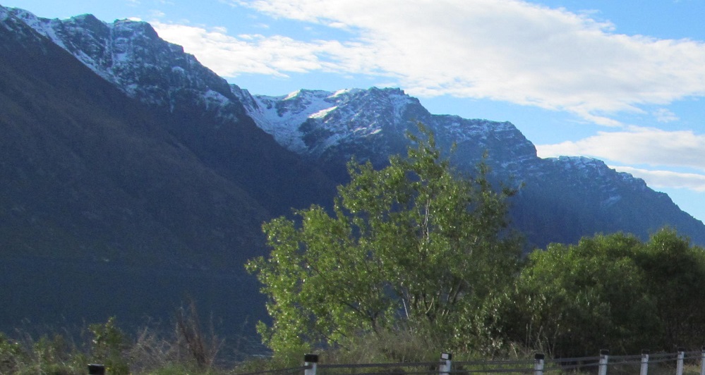
As I keep driving from the northern page, Mt. Dick comes into clearer view from its craggy foothills to its snowy peak. I'm now fittingly at Halfway Bay and sidelong to the Bay Peaks.
The evolution of Bayonet Peaks. They look different with every passing km, and the central bayonet is starting to dominate the other two so that it looks like a normal, single-peaked mountain. For now.
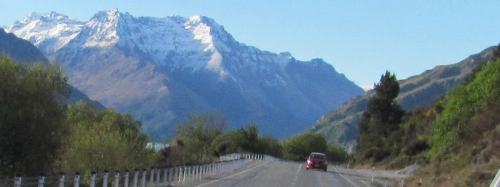
Looking north, we have the stalwart Ben Lomond and Bowen Peak, the Richardson Mountains, leading into Coronet Peak to the right of the second photo. All stuff we've seen before, but getting farther and farther in the distance.
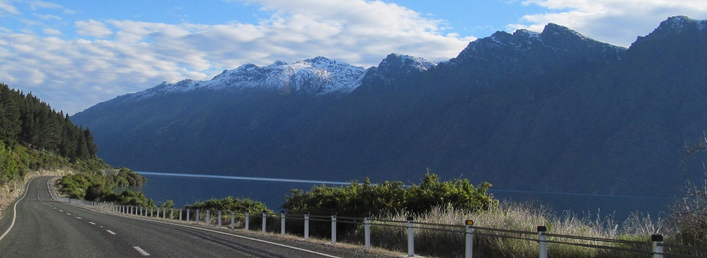
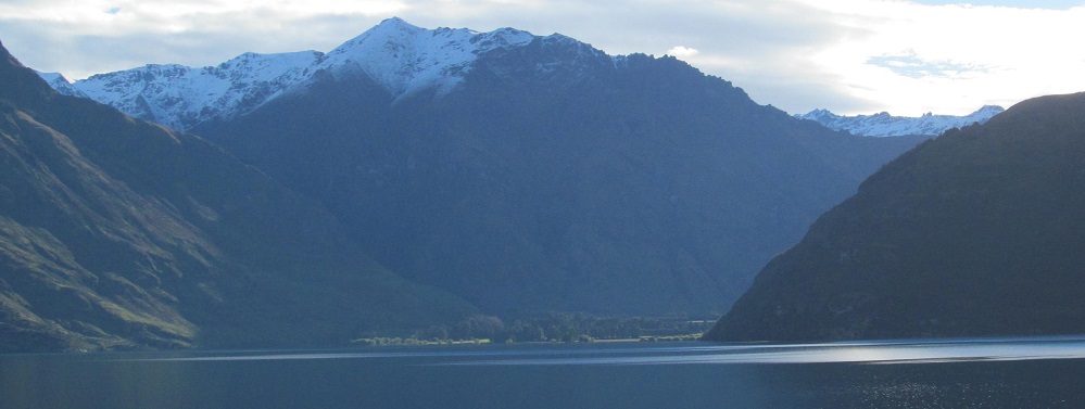
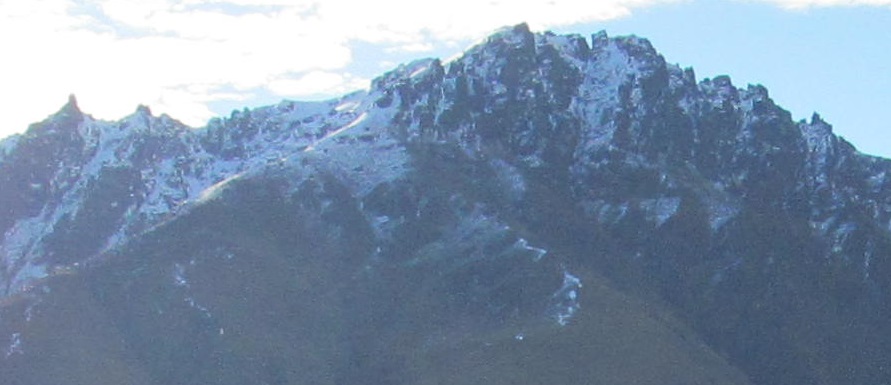
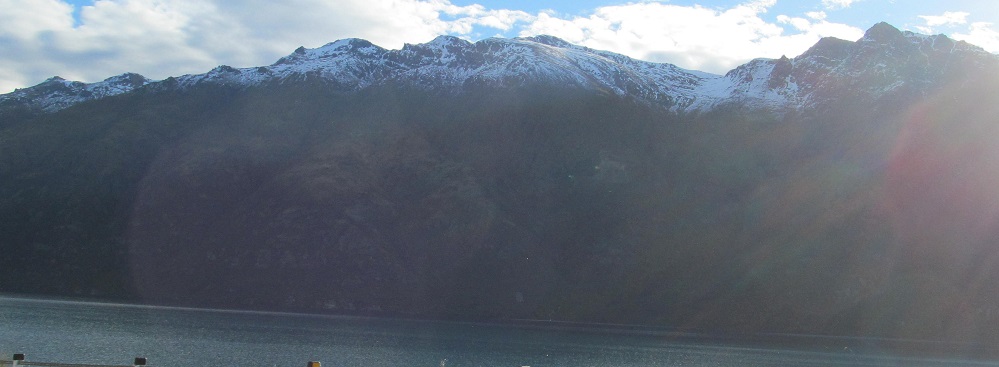
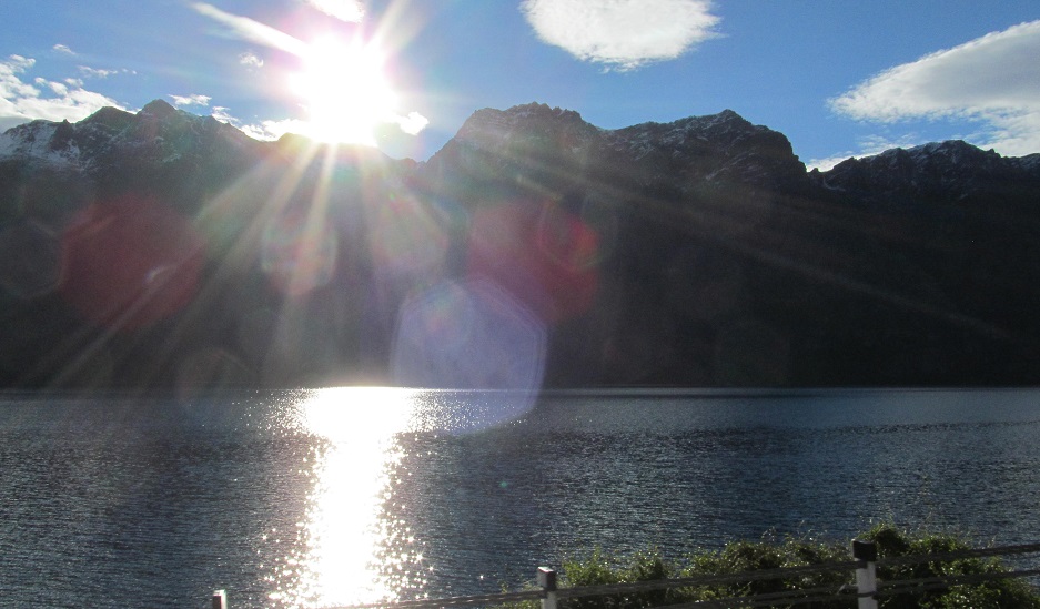
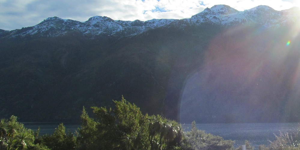
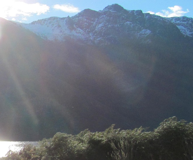
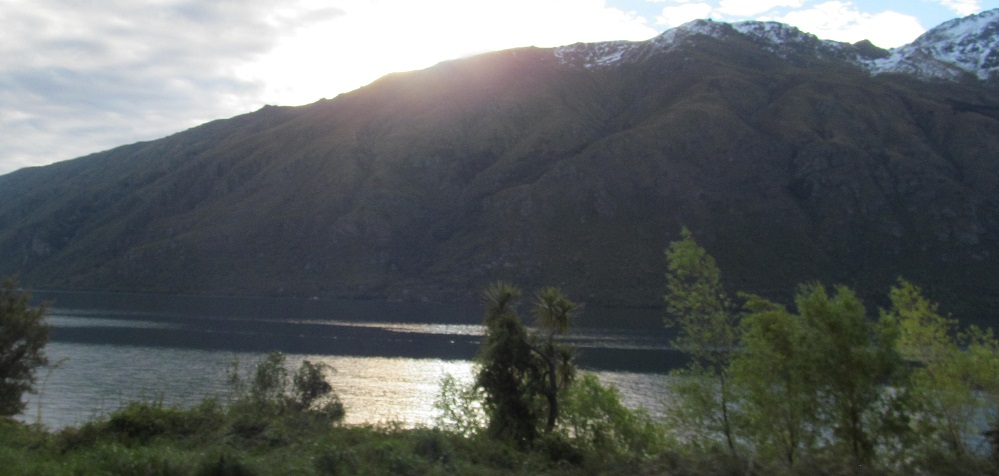
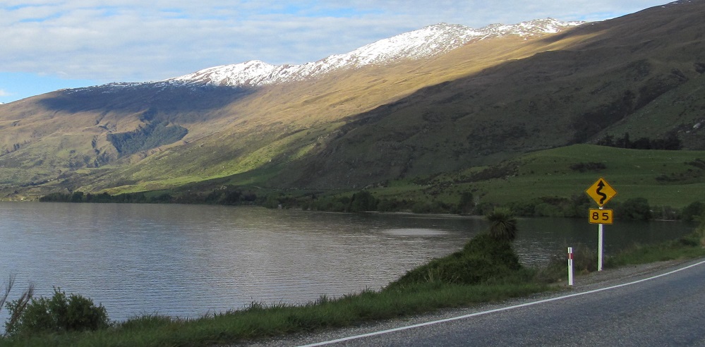
Halfway Bay, Mount Dick. Bay, Dick. Dick, Bay. See Dick... Mount?
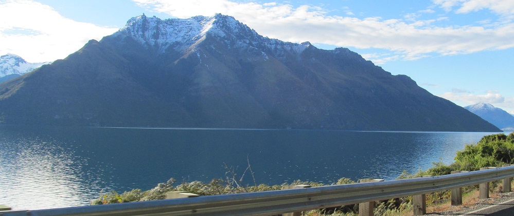
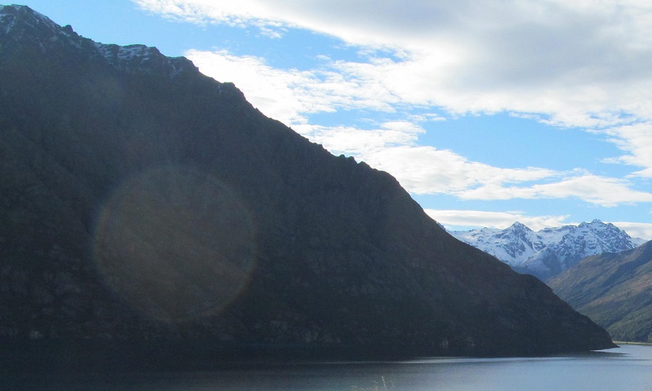
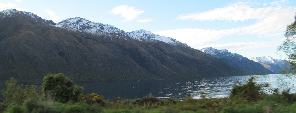
The Bayonet Peaks are starting to look different again, as a third peak comes into view. To their right is a last glimpse of Queenstown in the shadow of the Richardsons.
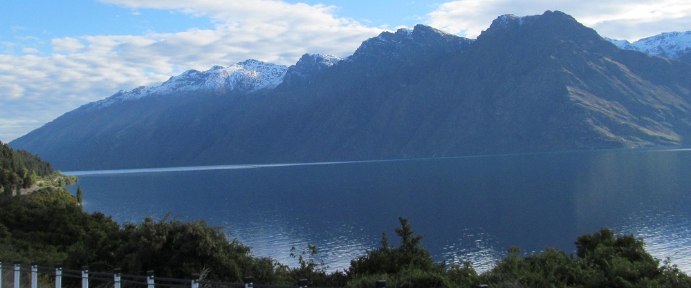
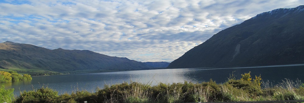
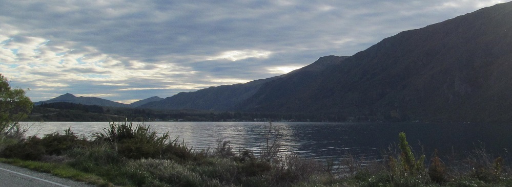
From the foothills of Mount Dick into the foothills of the Eyre Mountains, from the Bay Peaks to the Bayonet Peaks, a 4-photo panorama from the west to the north. (Bay Peaks are the Eyre foothills, but this caption was more poetic. Until I had to explain it.)
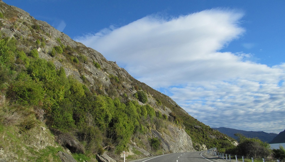
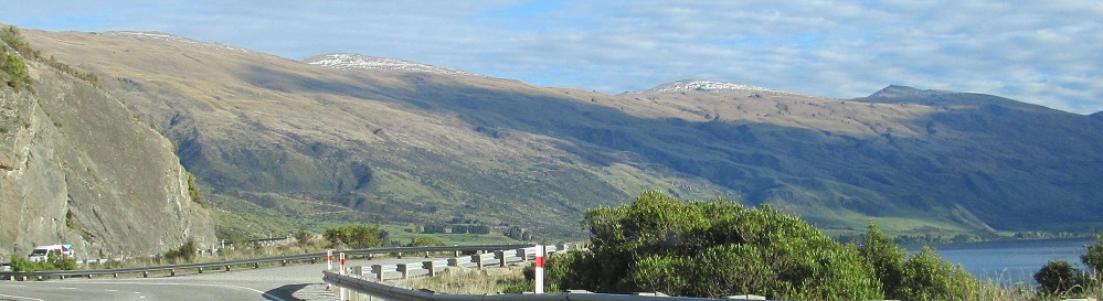
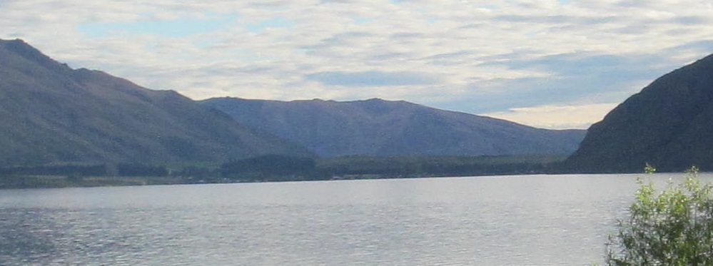
I'm not sure how panorammy this is, but it does go from south (Mt. Dick) to north (Bayonets).
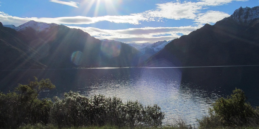
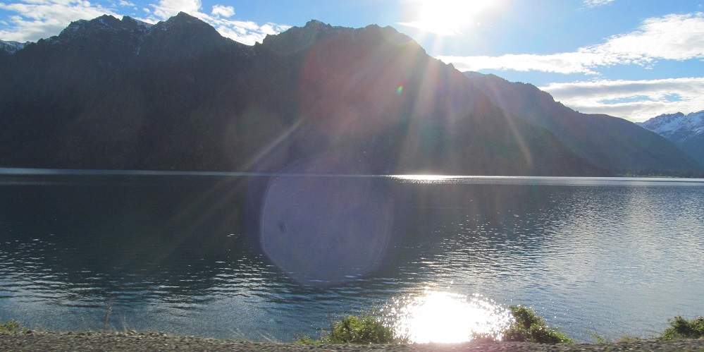
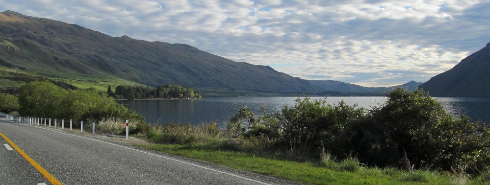
South, west. Then south, southwest, west.
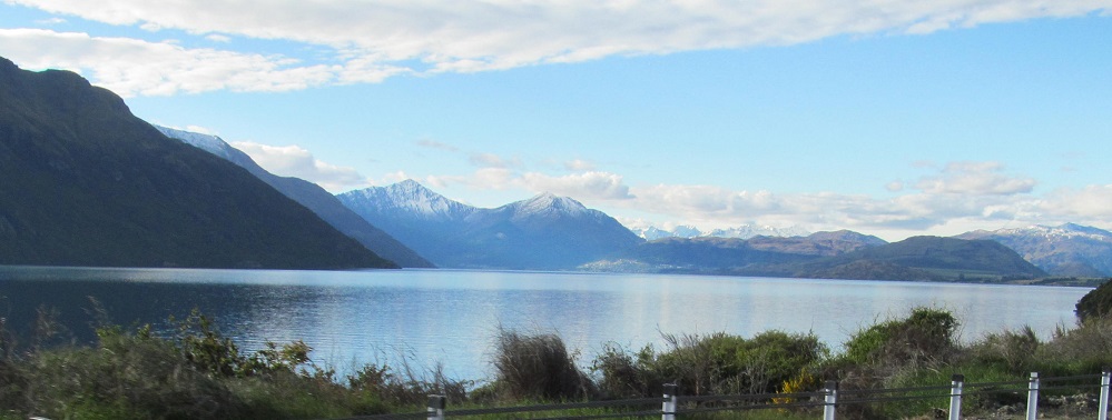
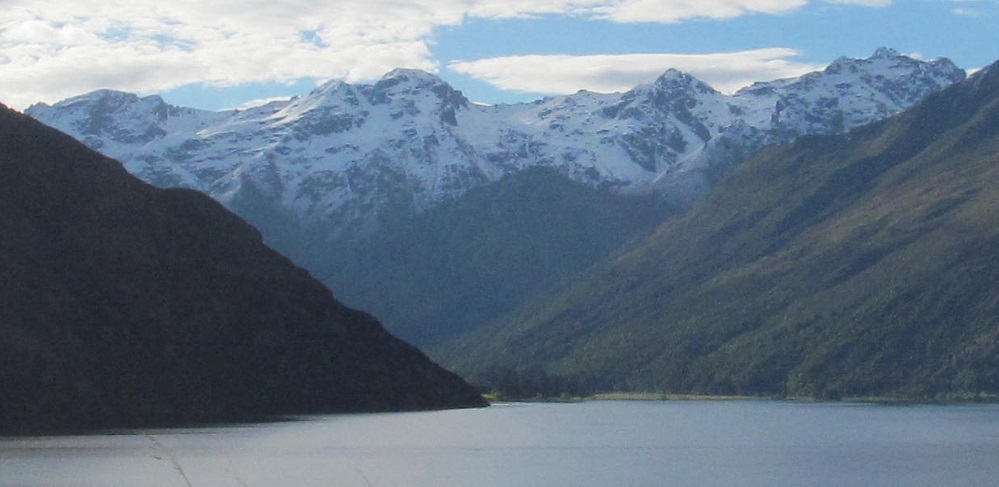
The Hector Mountains (Ta̅puae-o-Uenuku) have been to my left this whole time, but only as the lake bends to the west can I see any of them from the road. These 4 photos form yet another panorama.
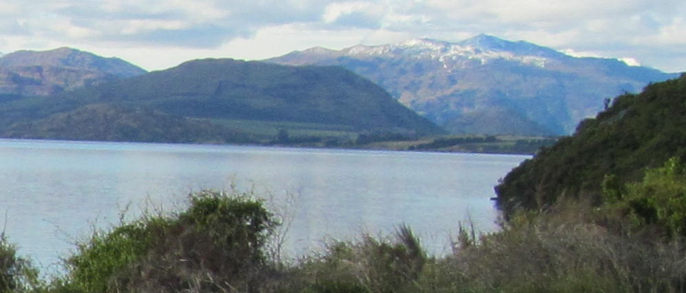
Another 4-photo panorama. You get the idea.
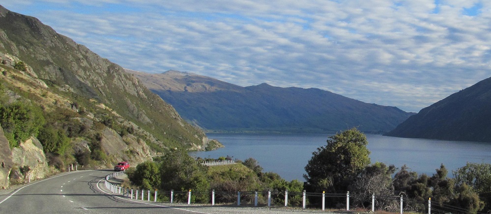
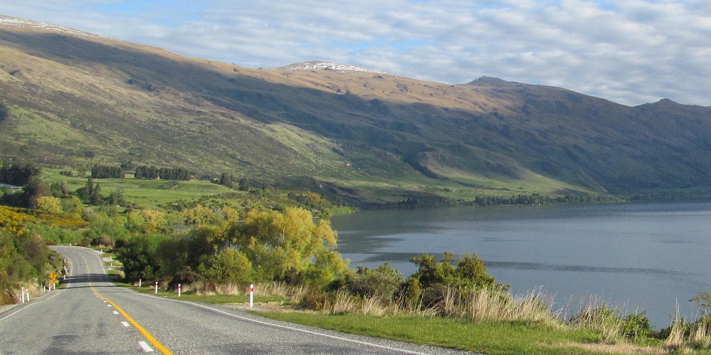
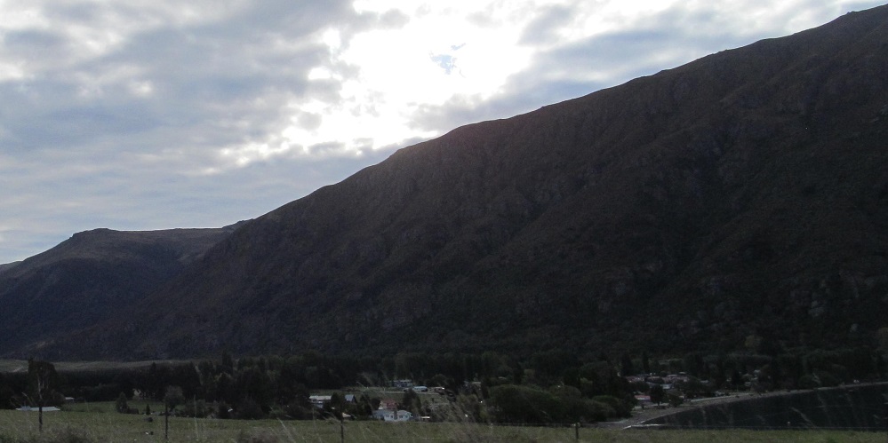
Straight ahead is my first glimpse of the town of Kingston, which will mark the end of Lake Wakatipu.
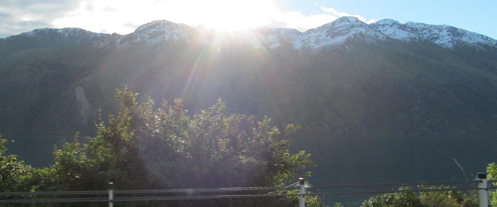
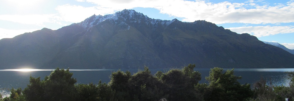
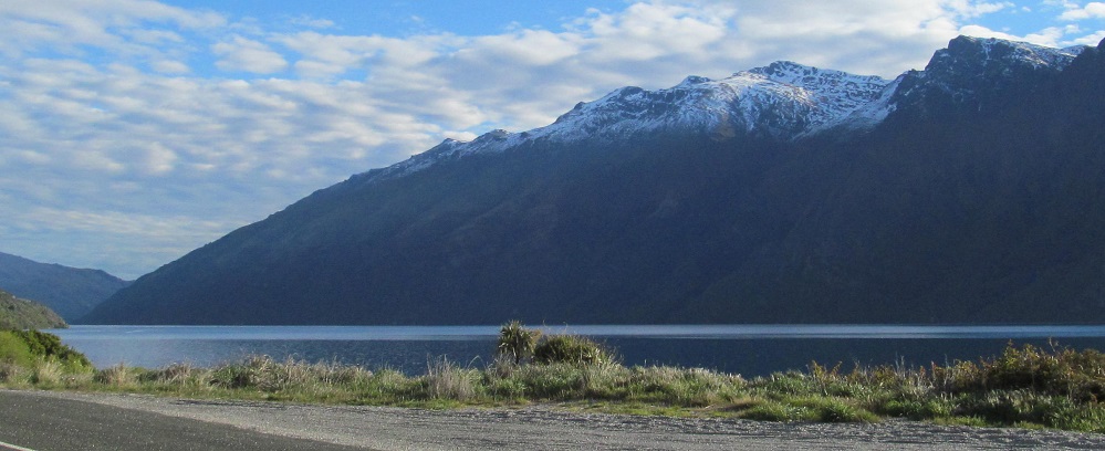
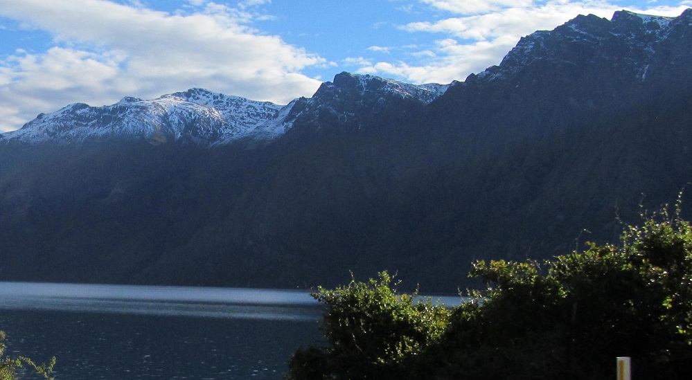
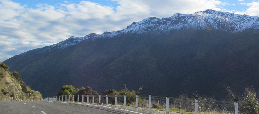
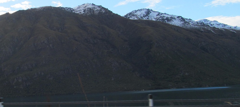
Guess what these five photos are doing! Yeah, it's that p- word. No, not that one, weirdo. I'm now alongside the highest point of Mount Dick. You like that? Weirdo.
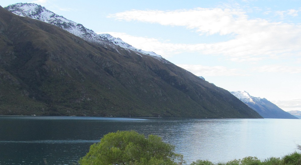
A bit farther along, this left-right photo pair shows that all the cool stuff is now to the north. This is the last view of Bayonet Peaks (showing the southern two of the three peaks).
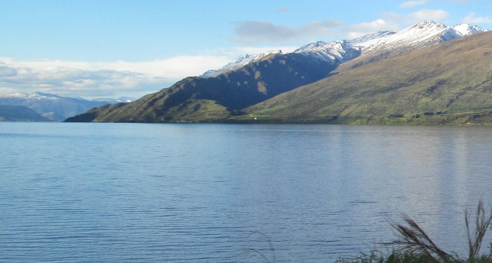
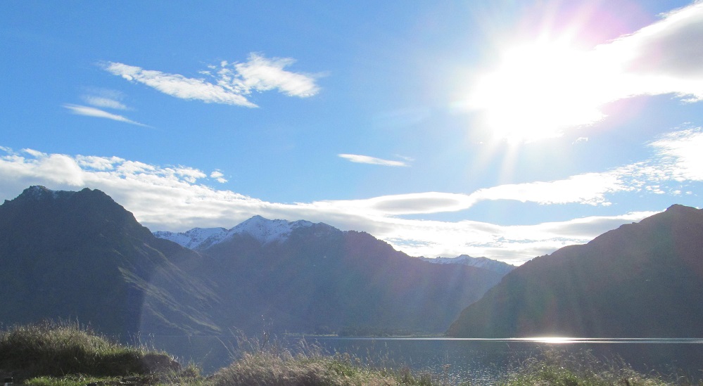
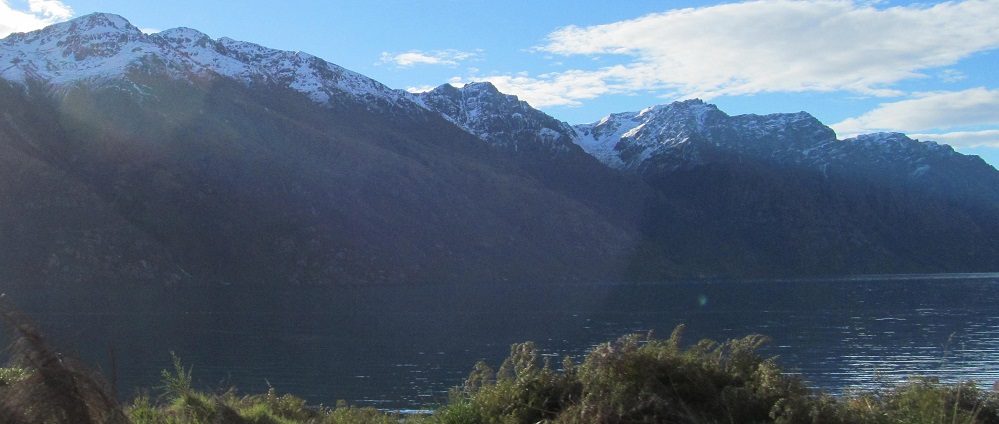
One last panorama - and may I never have to caption that word again - from Pinnacle (not Peak, not Mountain nor Hill, just Pinnacle per the topo map) around to the north where I can see two branches of the Hector Mountains. The more impressive branch in the penultimate photo starts at the water with Devil's Staircase.
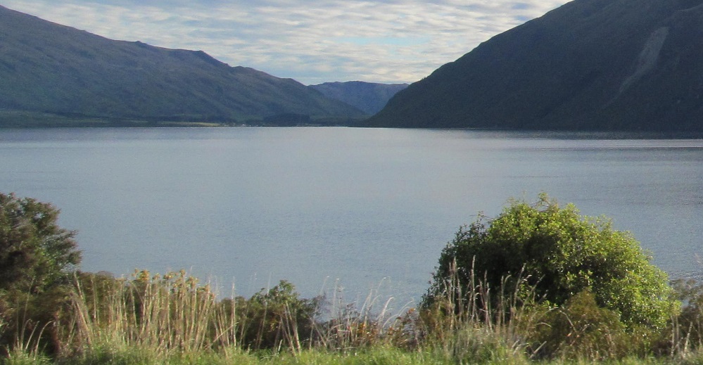
The very end of the lake at the shore of Kingston. Almost the entire town is right here.
Back north along Lake Wakatipu
Back to Lake Wakatipu main page
More Non-Roads along Highway 6
Back to New Zealand Non-Roads
Back to Non-Roads main page