New Zealand - Lake Wakatipu - N
Lake Wakatipu - northern
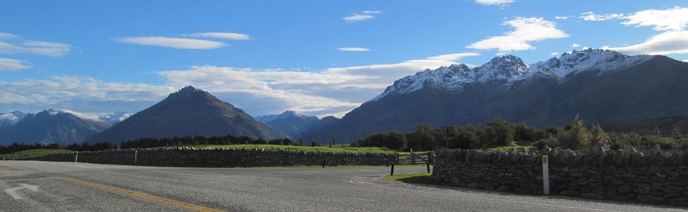
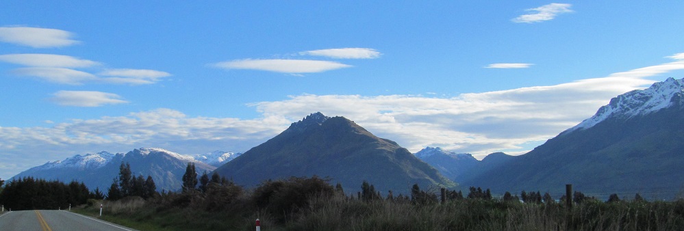
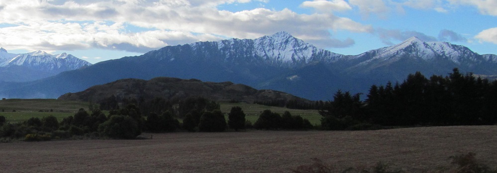
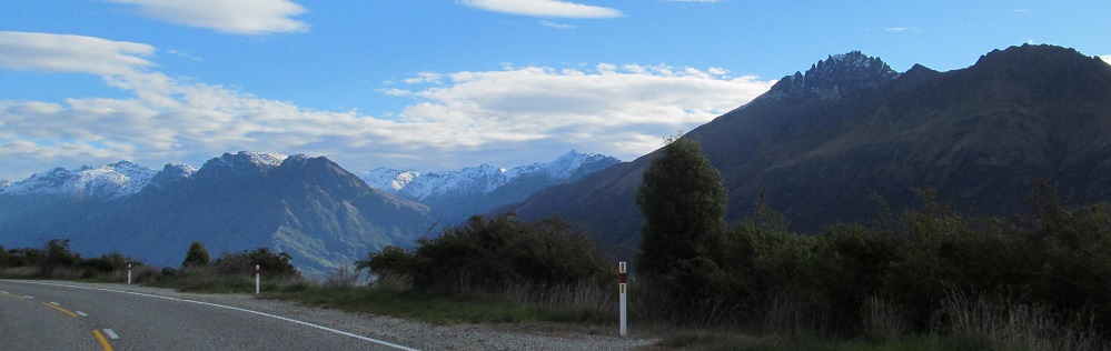
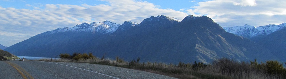
By way of introduction, looking beyond Jack's Point, we have Bay Peaks to the left, Bayonet Peaks in the center foreground (you'll see both peaks shortly), a peek at the Eyre Mountains, and then Cecil Peak with its own ridge. To the left, I'm just passing Double Cone at the height of the Remarkables. They're going to look progressively less remarkable in light of what's across the lake.
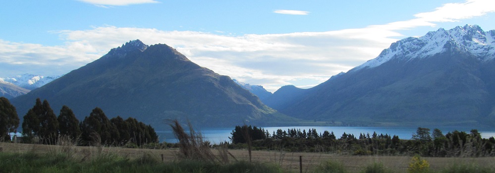
Closer views of Bay Peaks and Cecil Peak.
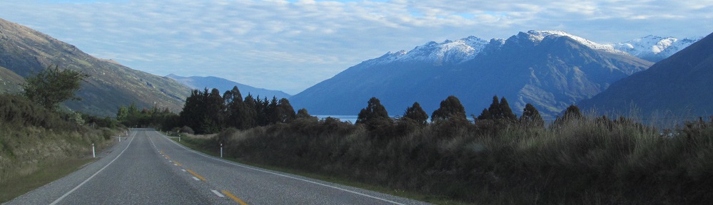
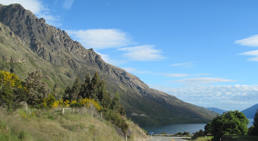
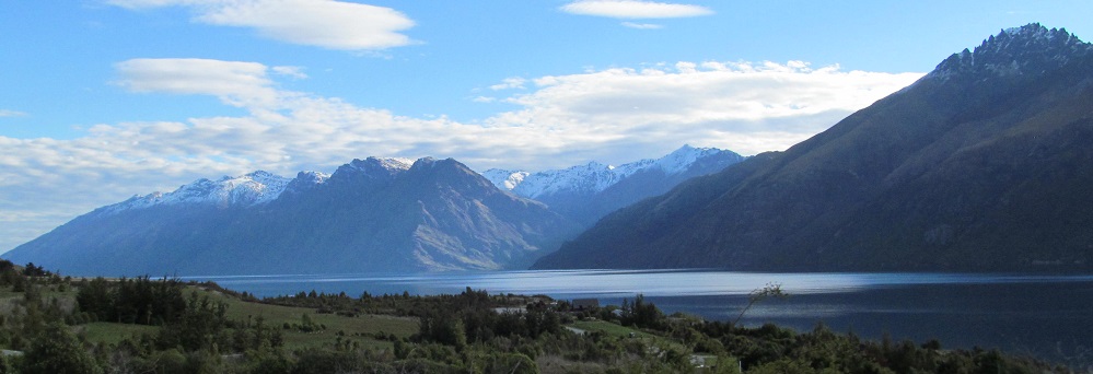
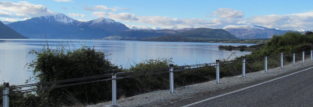
Although I've been driving next to the lake for a bit, this is the first time it comes into view. As I pan to the right, the Thomson Mountains rise in the distance.
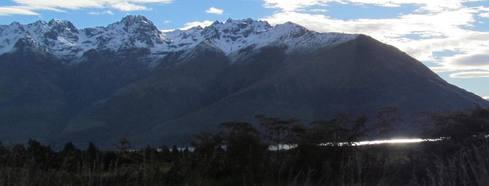
Getting less Remarkable.
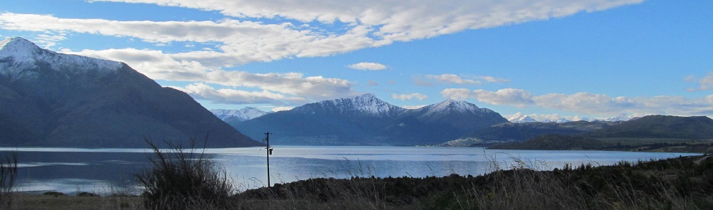
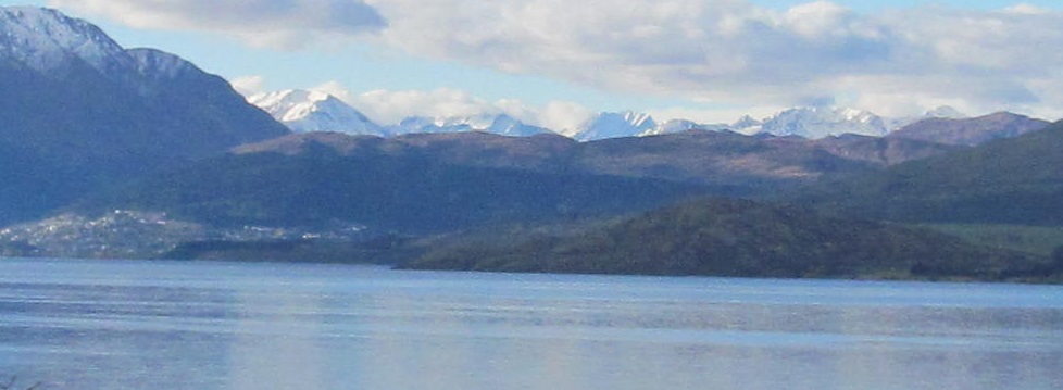
This is a panorama working its way all the way north to Ben Lomond and Bowen Peak. When I first saw those two several km ago, they looked the same height as Bowen Peak is farther east and thus closer to Highway 6. From this angle, their relative heights are apparent.
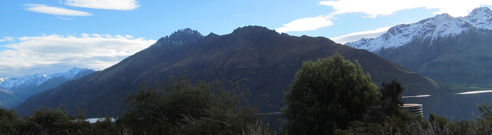
An overlapping panorama of photos out to Cecil Peak. The second photo introduces Mount Dick and its attendant ridge.
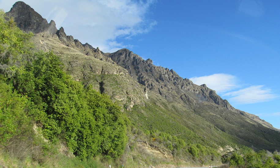
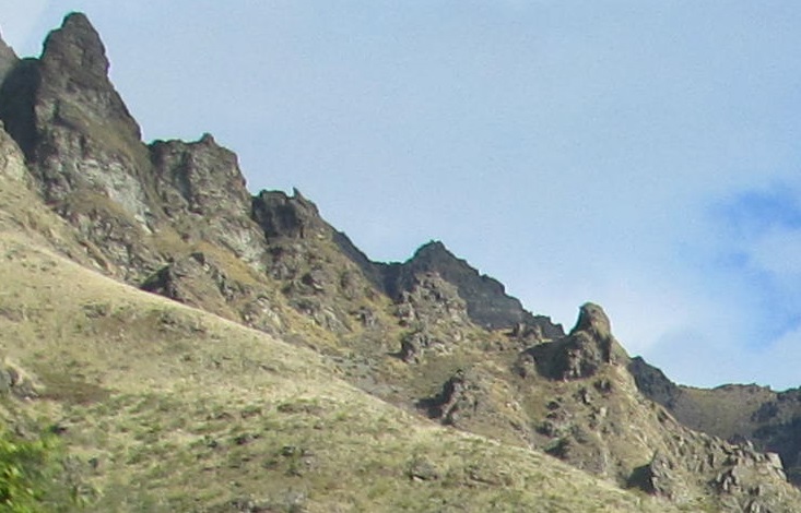
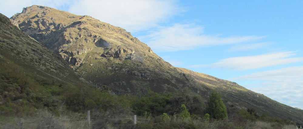
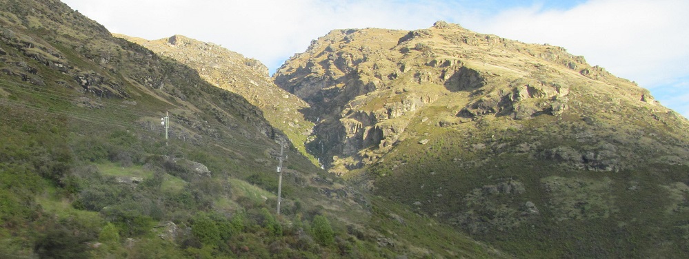
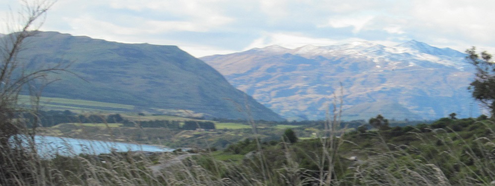
The Interestings would be a fitting name for these foothills.
Panning yet again from south to north. Because Bayonet Peaks are close to the lake, I'm passing them relatively quickly now, and so you can finally see the twin peaks clearly defined while the rest of the mountains in the distance look nearly the same. In the last photo, a little bit of Richardson Mountains are visible to the right of Bowen Peak.
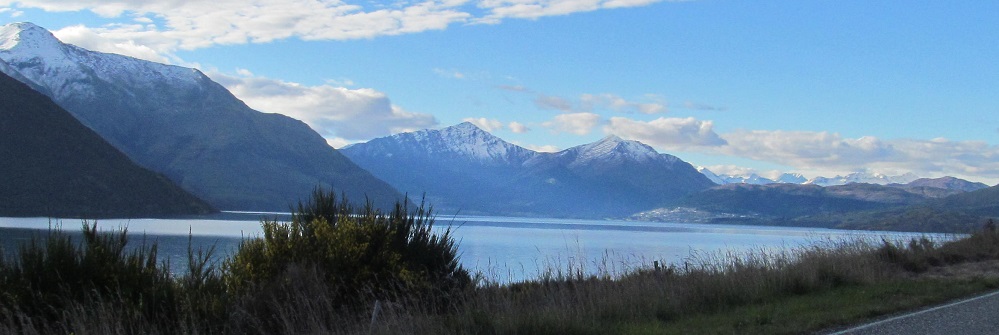
Panning from south to west.
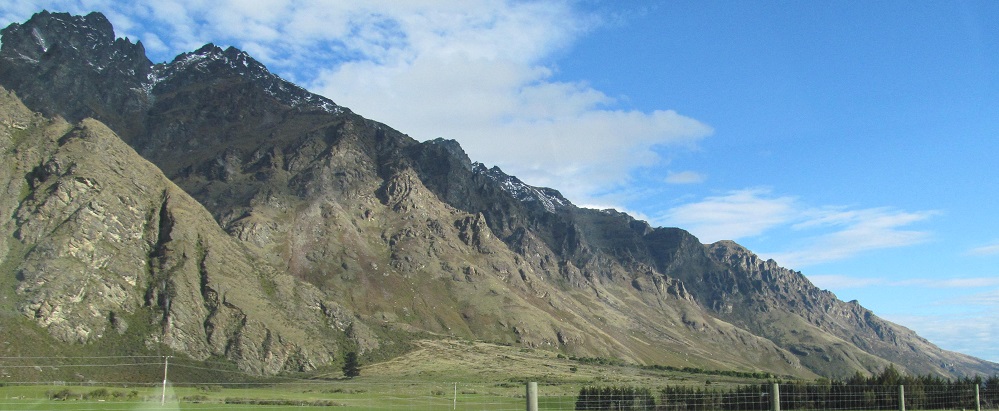
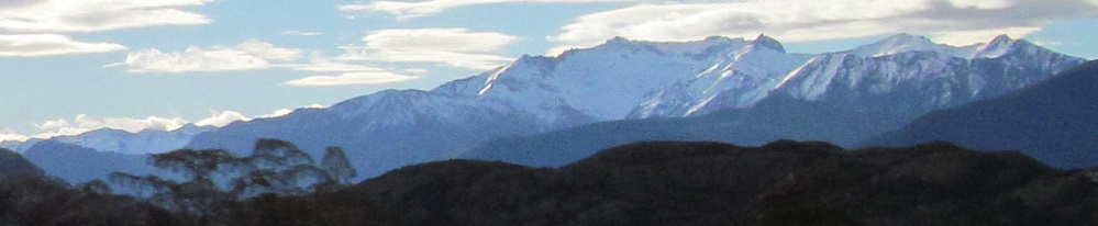
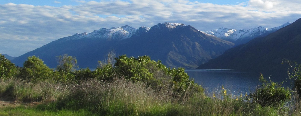
Last trace of the Remarkables.
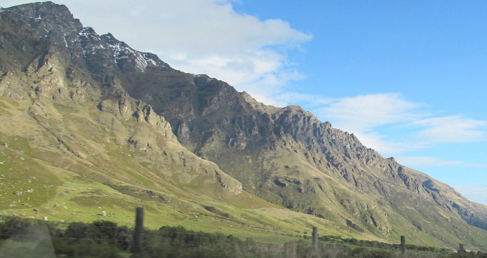
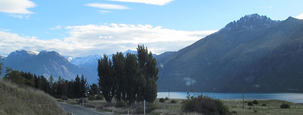
I can't help but pan these mountains, but only in the photographic sense. The last photo reveals Coronet Peak, which I saw a lot of before reaching Queenstown, albeit from a different angle.
Last three photos pan from south to north.
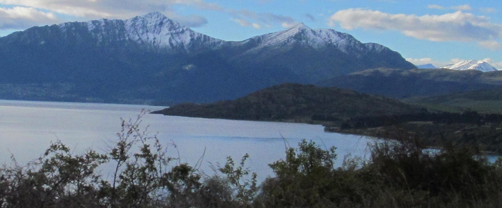
Closer views of Mount Dick and the Bay Peaks to its right.
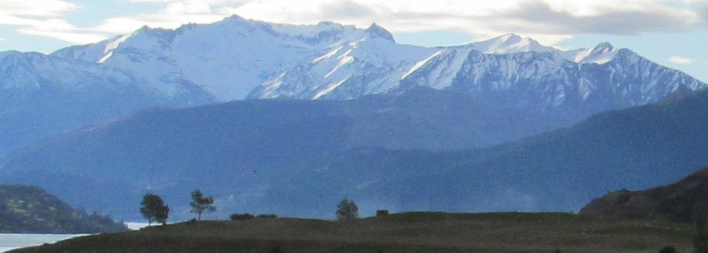
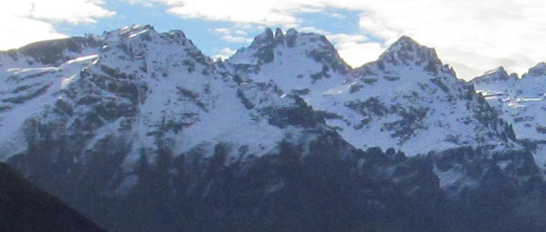
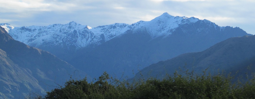
The reason you can see the Richardson Mountains from this distance and over so many lesser mountains is that they're over 2,000 m tall.
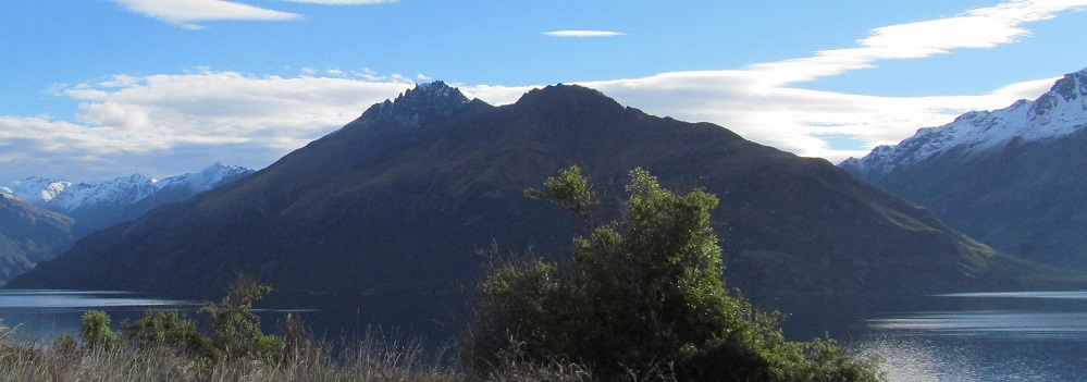
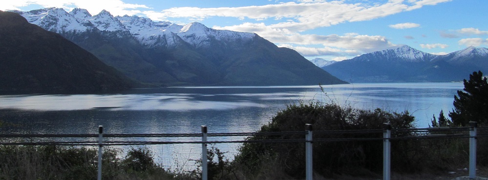
Two Bayonet Peaks and one sunshine peek.
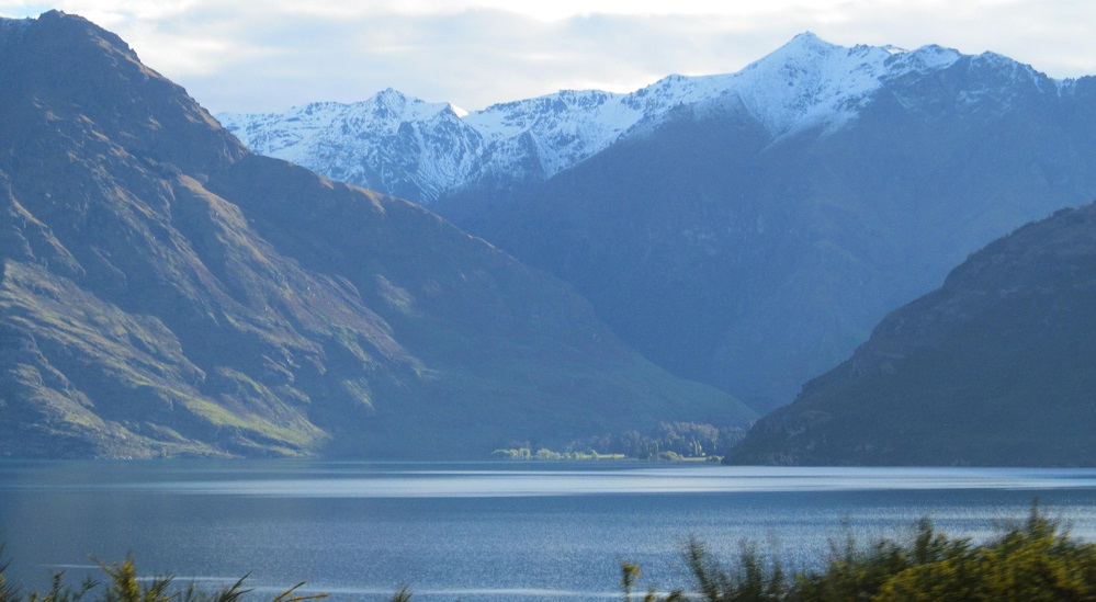
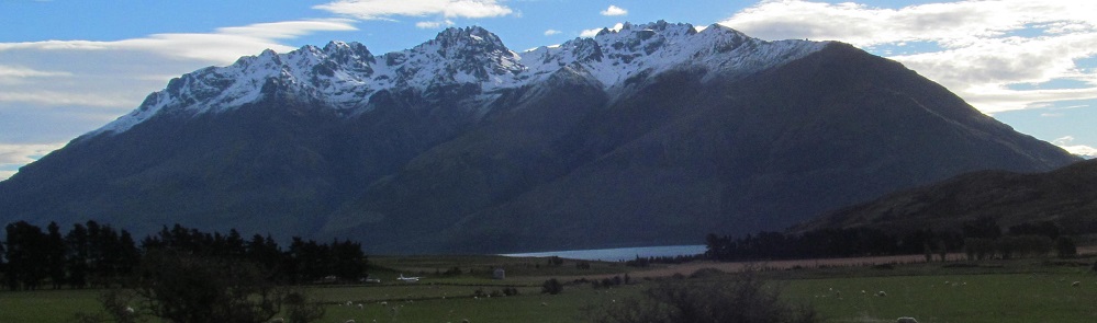
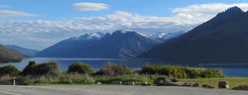
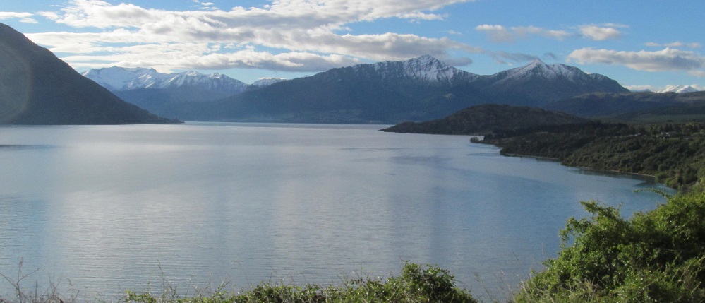
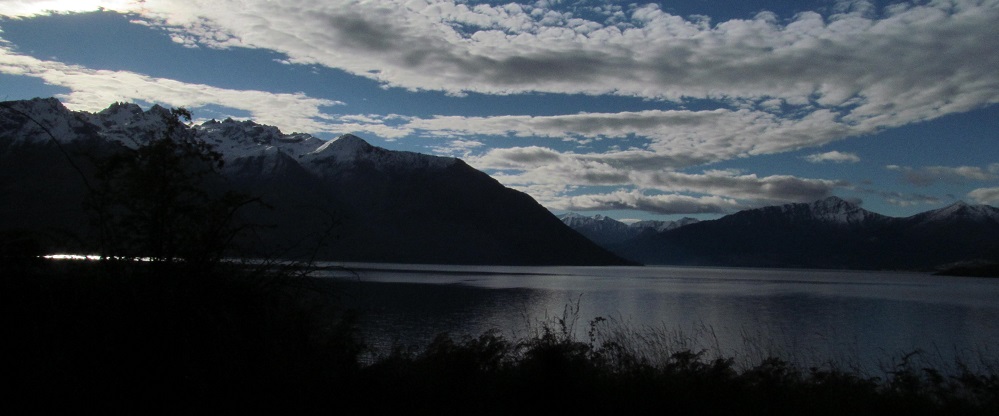
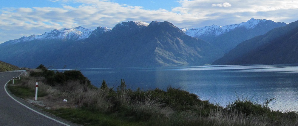
Another km, another panorama. This one sweeps past Halfway Bay, the outlet of the Lochy River that is about halfway along the southern arm of Lake Wakatipu.
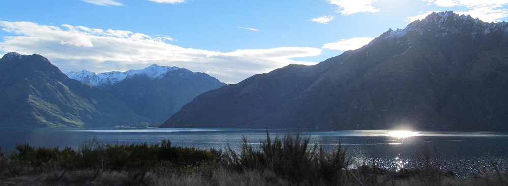
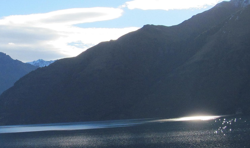
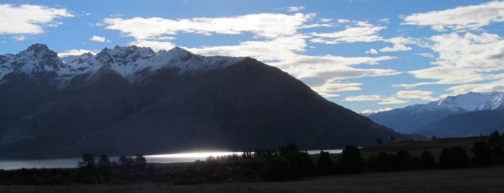
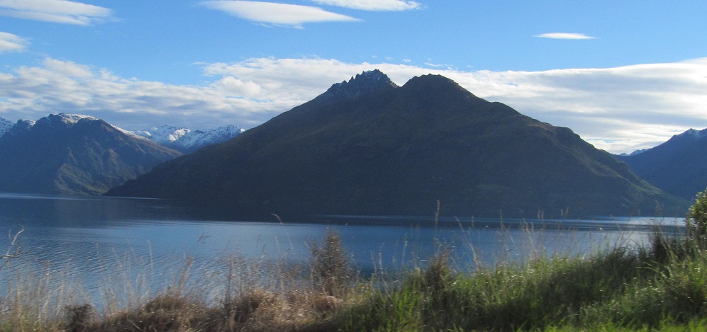
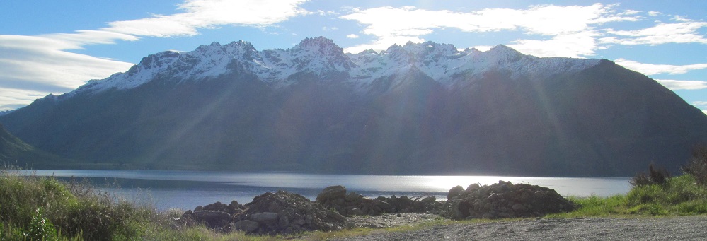
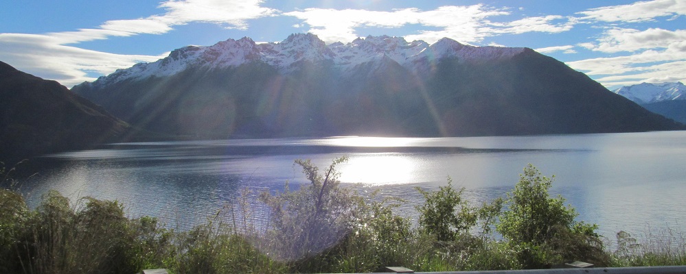
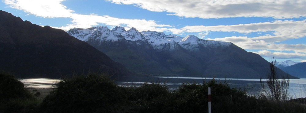
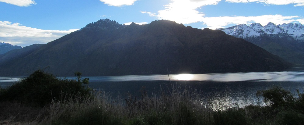
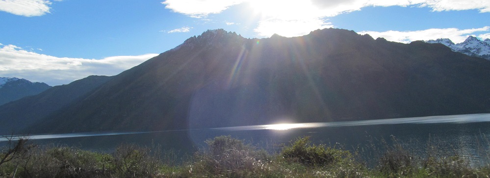
Interplay of sun and water. The sun will officially set in just over an hour, but it's already disappearing behind the westerly mountain ranges.
Continue south along Lake Wakatipu
Back to Lake Wakatipu main page
More Non-Roads along Highway 6
Back to New Zealand Non-Roads
Back to Non-Roads main page