New Zealand - NZ 6 - Westland Dist. - Haast Pass-Landsborough River
Highway 6, Westland District -
Haast Pass to Landsborough River
All photos were taken heading south.
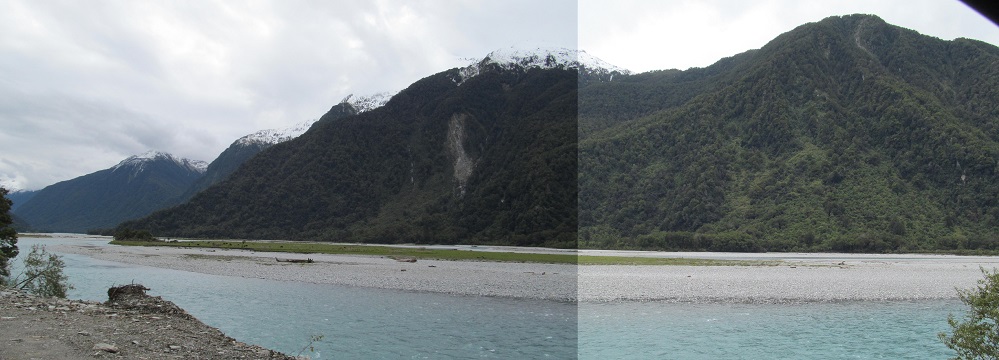
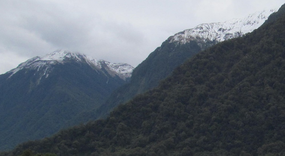
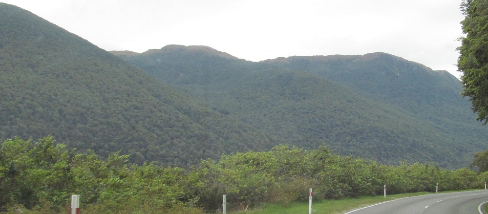
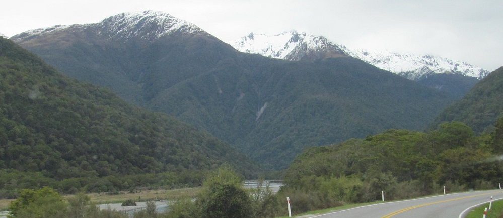
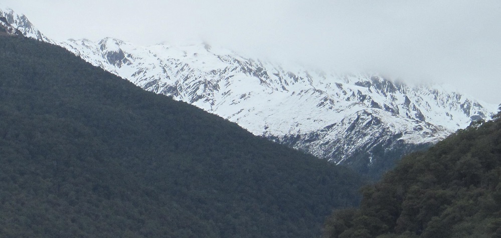
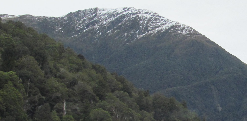
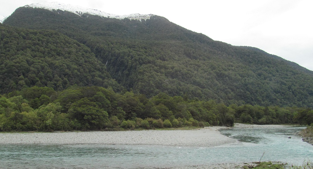
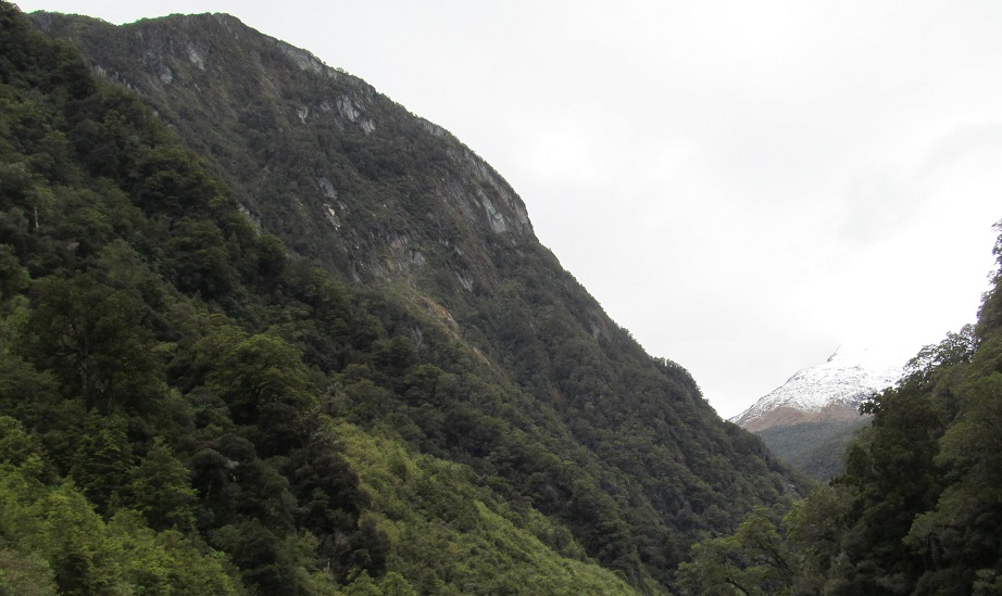
I stopped along the Haast River right where it meets the Landsborough River to get a recap of where we've been on the last page. The far left is probably Mt. Cuttance on the Cuttance Ridge, then followed by Mt. Macfarlane (hiding in clouds) and the tail end of the Macfarlane Ridge at the river.
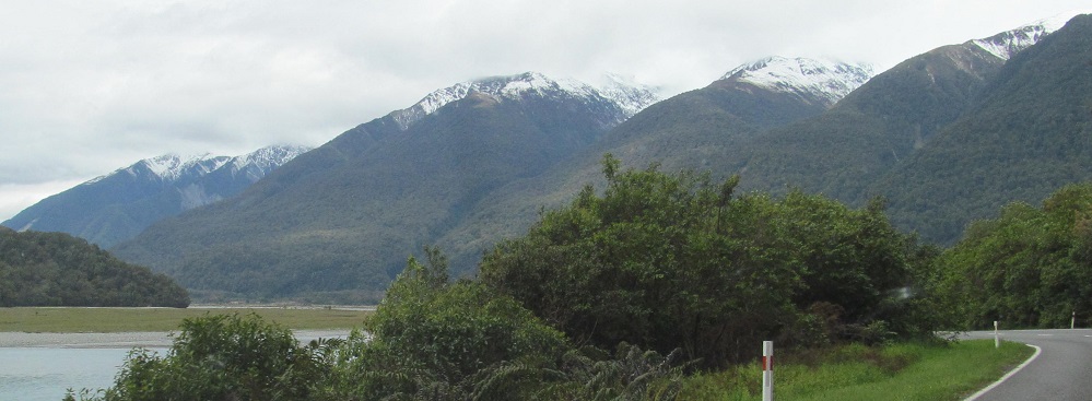
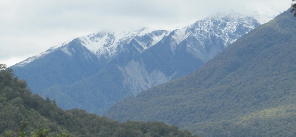
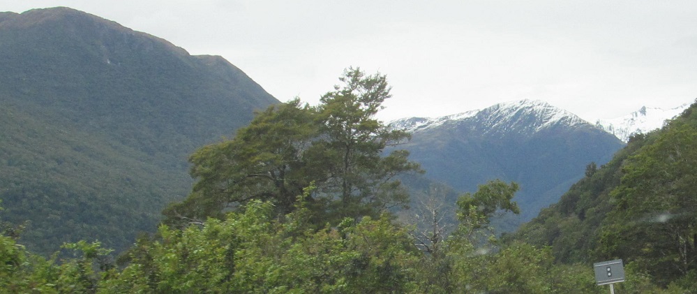
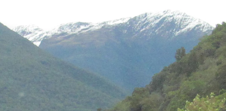
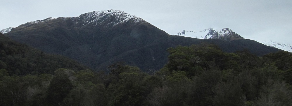
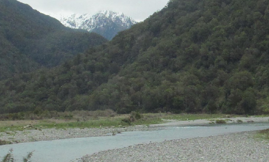
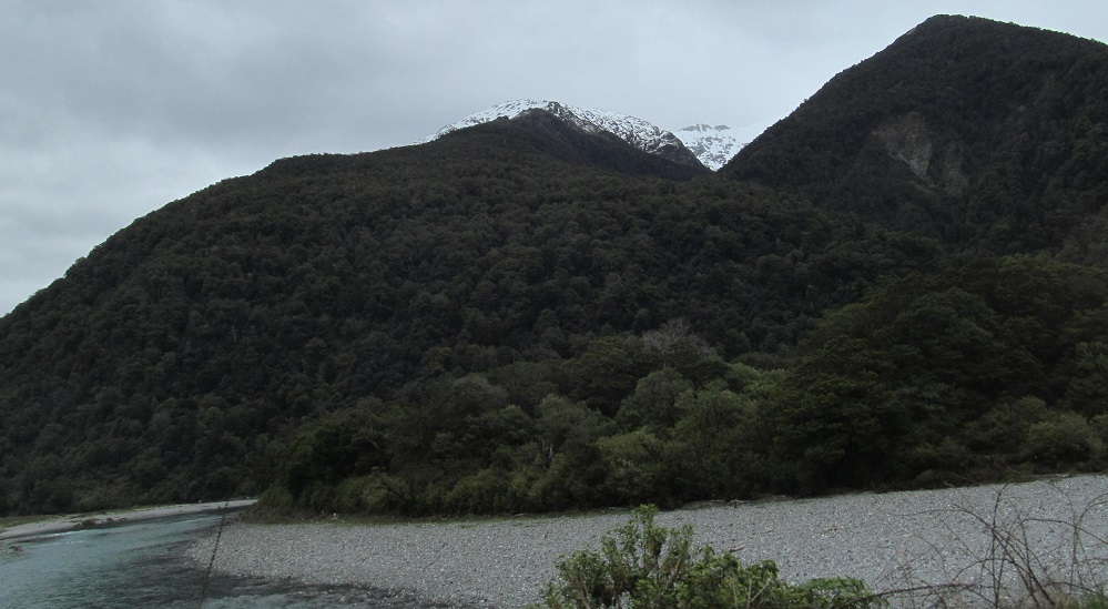
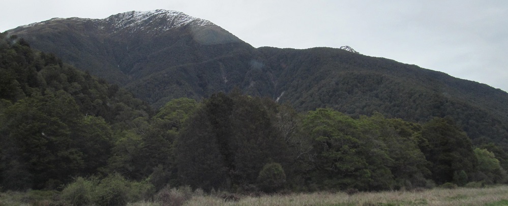
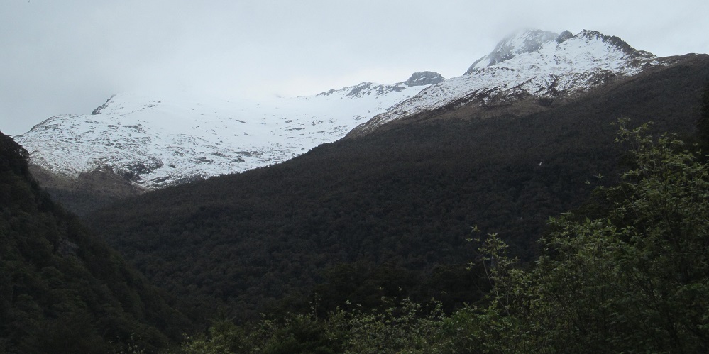
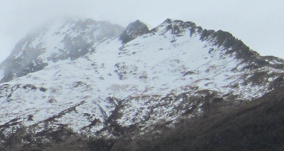
Looking ahead, here's the scene along the Landsborough. The mountain at the far left is probably Mt. Maitland, well behind the others. Those along the river include Mount Awkward, Shingle Top, and Mount Bull (fully visible in the 3rd photo).
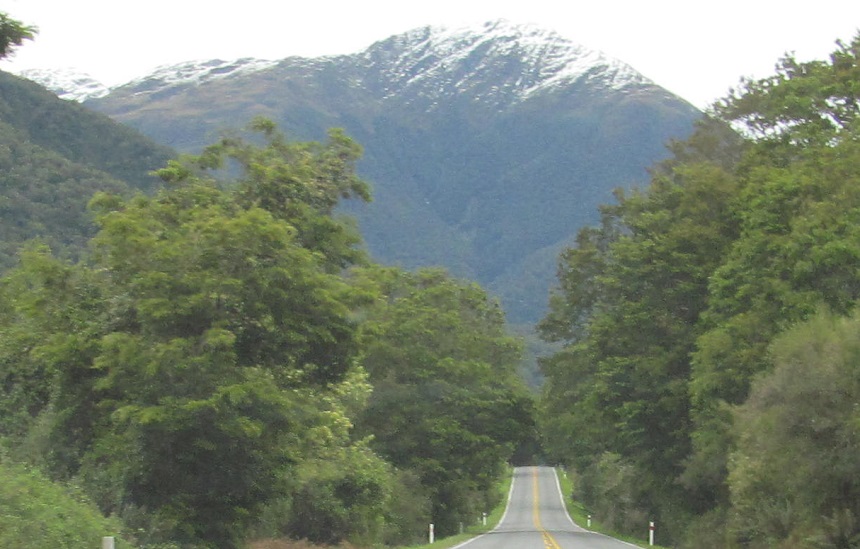
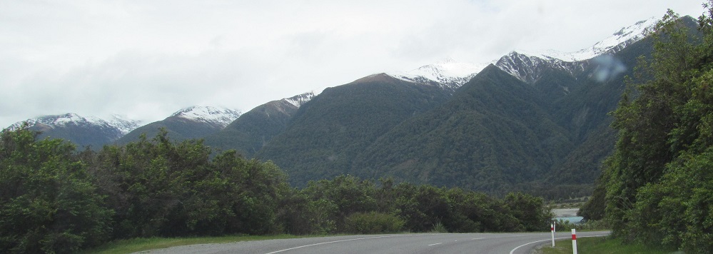
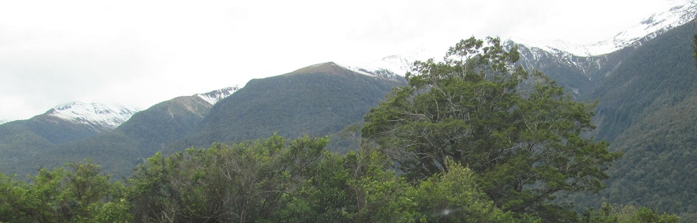
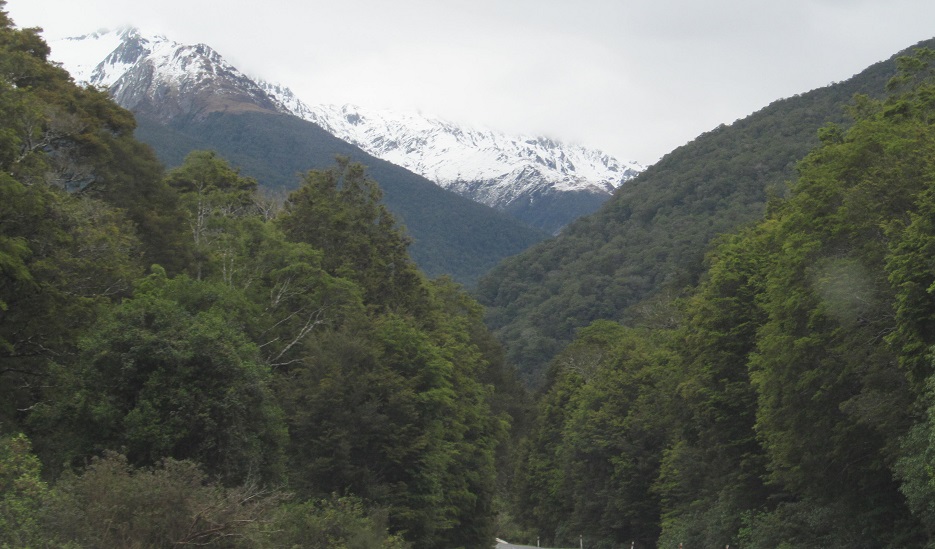
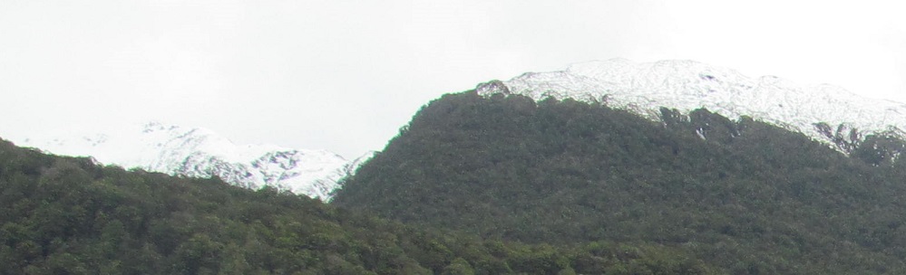
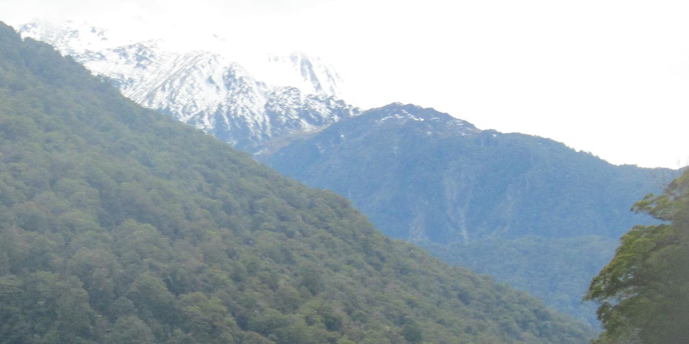
Now turning south with the Haast River, I lose sight of those other mountains and follow the Bealey Range toward the end. Burnt Top looms in the distance, flanked by Lindsey Peak and The Keystone to its right in the last photo.
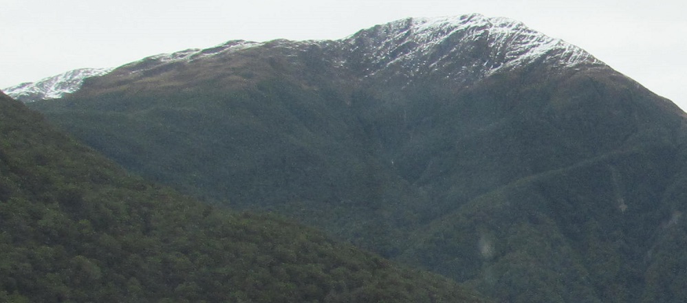
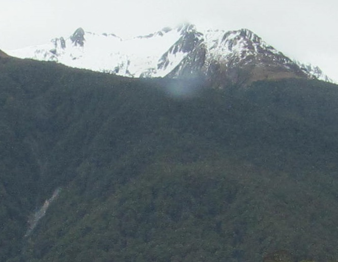
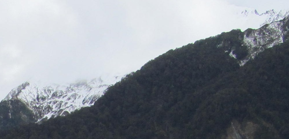
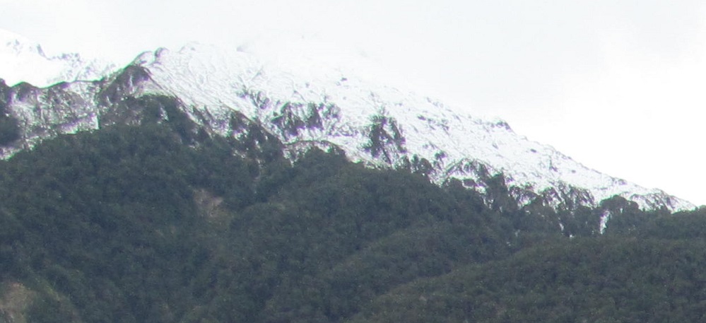
Giving each of the peaks its star turn.
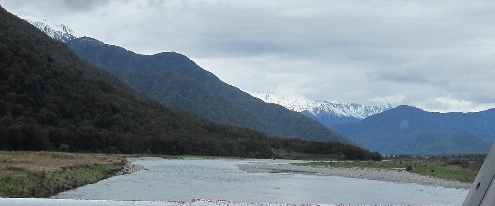
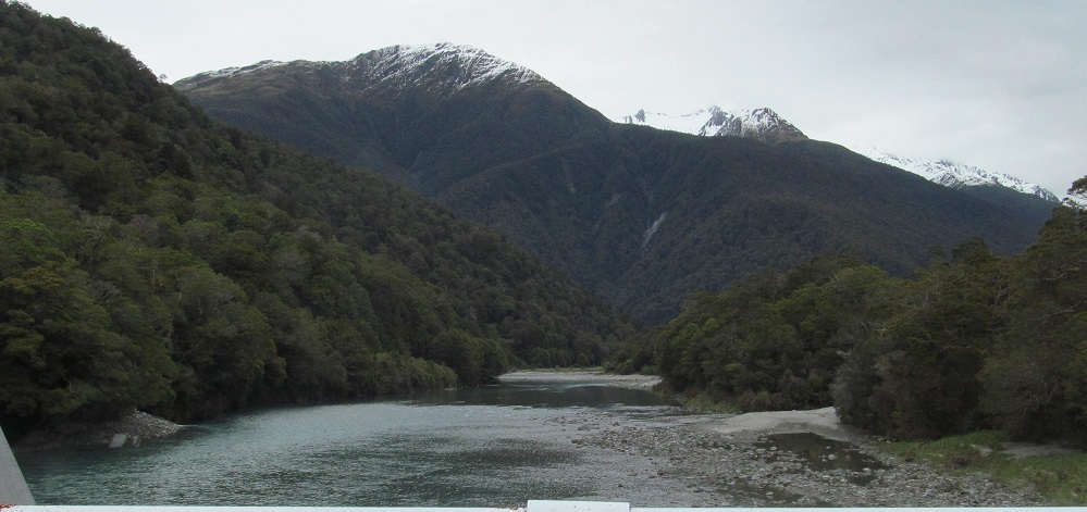
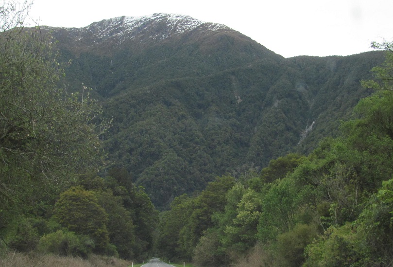
This is the last major crossing of the Haast River. Looking north, back from where I came, I don't see the same set of mountains that I had seen along the Landsborough River previously. I believe the snowy peaks in the distance to be Mt. Hooker and Hooker Glacier. Looking south, you know those three, but say goodbye.
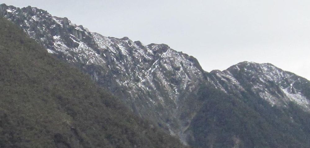
These 6 photos form a long panorama, starting in the southwest at Burnt Top and proceeding clockwise past what I believe is Mt. Victor (2), The Joker (3 - center) with Dan's Knob and Euchre Top to the left, The Pivot (4 - back left), and the Pivot Spur (5) to a faraway view of Shattered Peak (6 - left) behind Low Spur to the northeast.
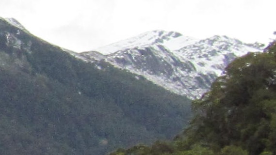
Burnt Top fades behind Wilson Ridge, and that's the last I'll see of it after 20 photos.
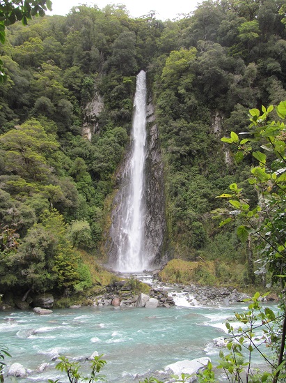
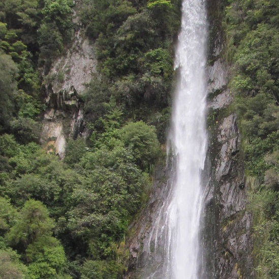
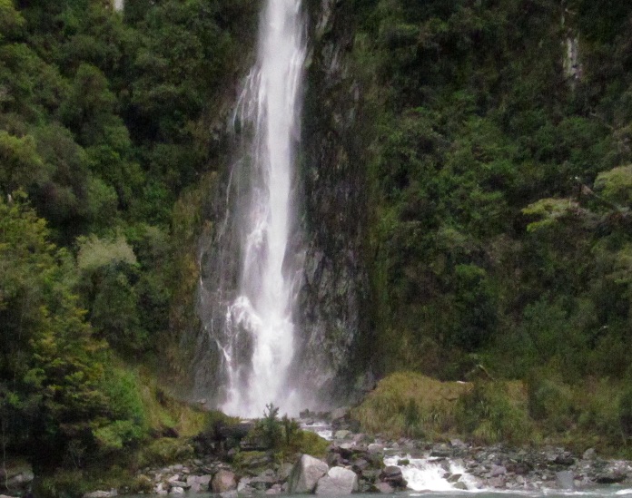
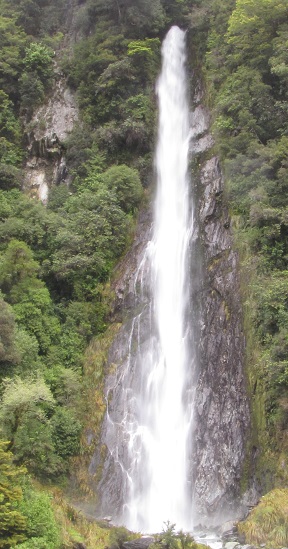
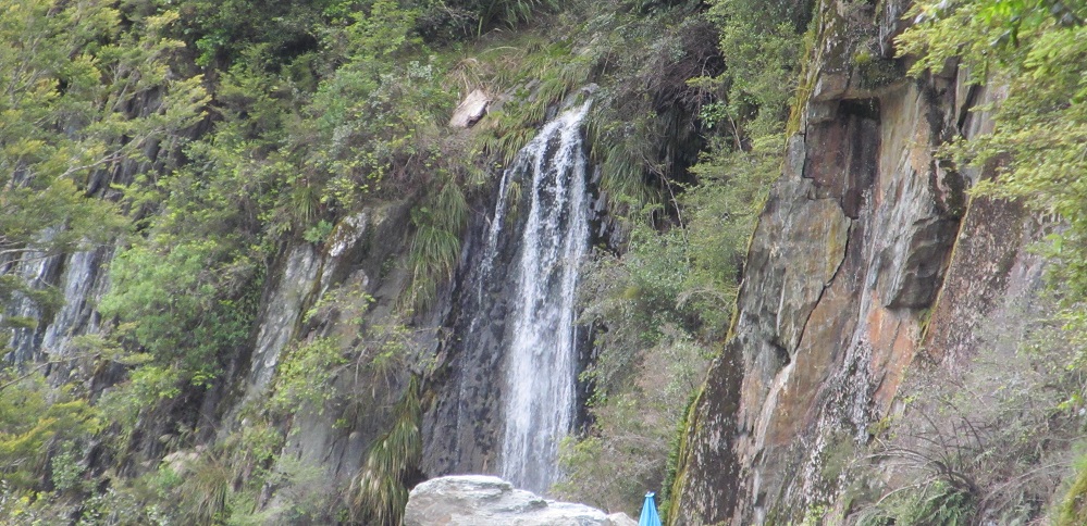
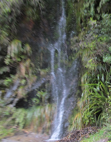
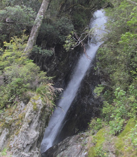
Playing around with Thunder Creek Falls. Quick exposure (3rd photo) or long exposure (last)?
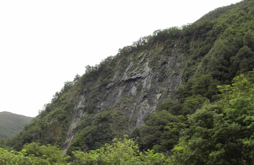
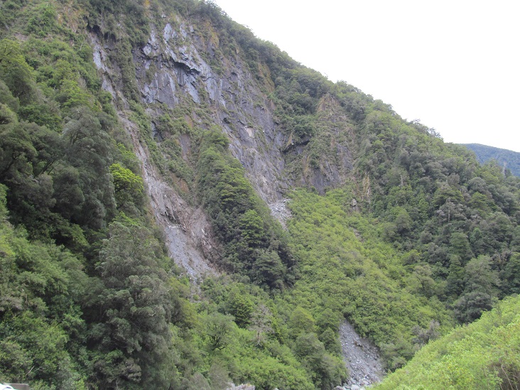
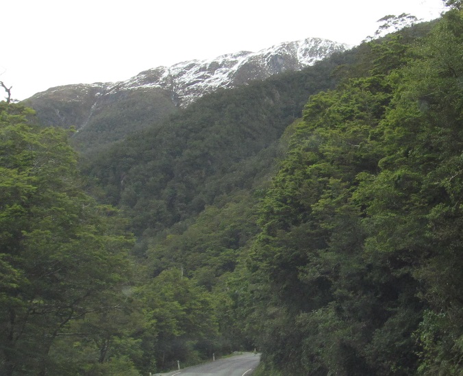
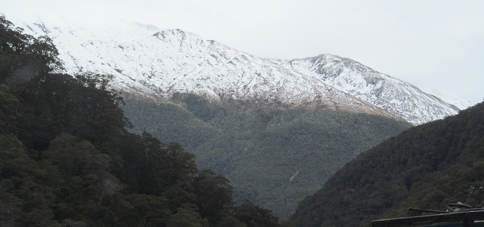
The next mountain to gain my attention is Mt. Brewster, which is on the spine of the Southern Alps (Ka̅ Tiritiri o te Moana). Then I get distracted by a cliff face to my right.
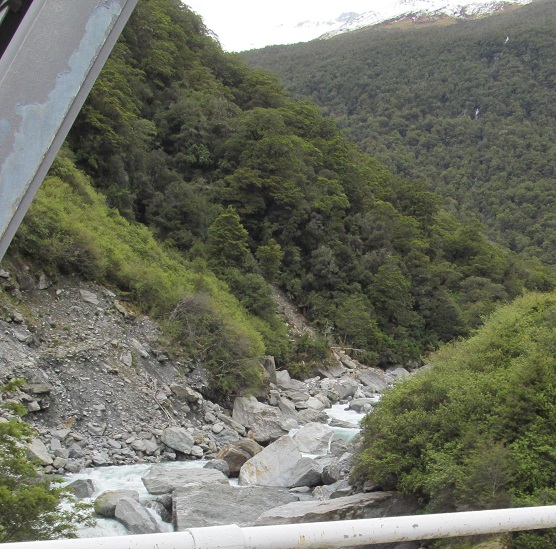
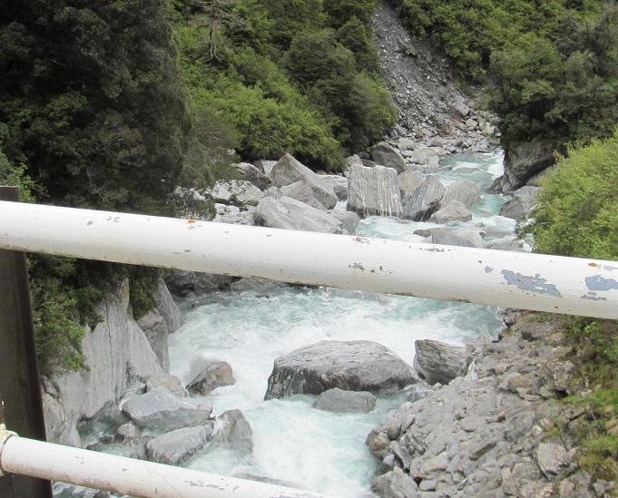
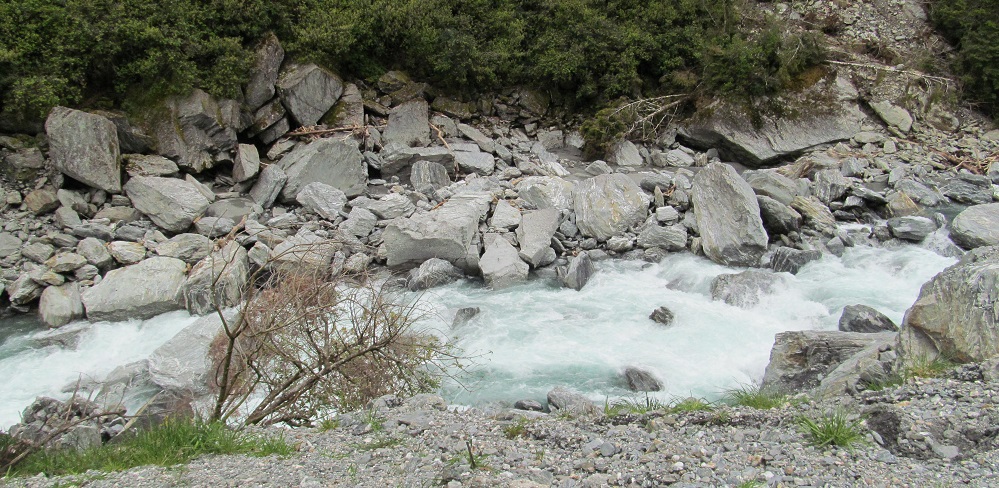
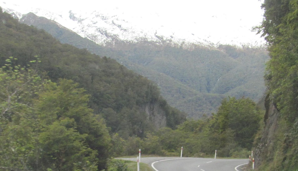
Gates of Haast is a minor crossing of that river known for its narrow bridge. The first photo looks left (east) toward the headwaters, with Mt. Tole hiding behind it. Then I look west, and then down at the river I just crossed. I won't be crossing it again, as it dissolves into a network of tributaries near Haast Pass.
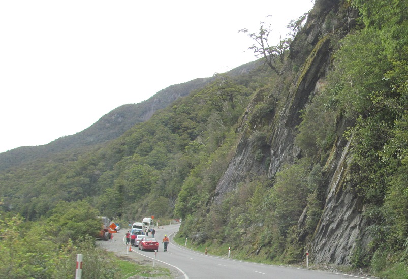
Haast Pass was under construction, giving me time to stop and smell the waterfalls.
The view back north, which I shared with many other people exiting their vehicles.
I even had enough time to clamber off the road and get this clear photo of Mounts Armstrong (L) and Kaye (R) to the east. You can't see these well while driving.
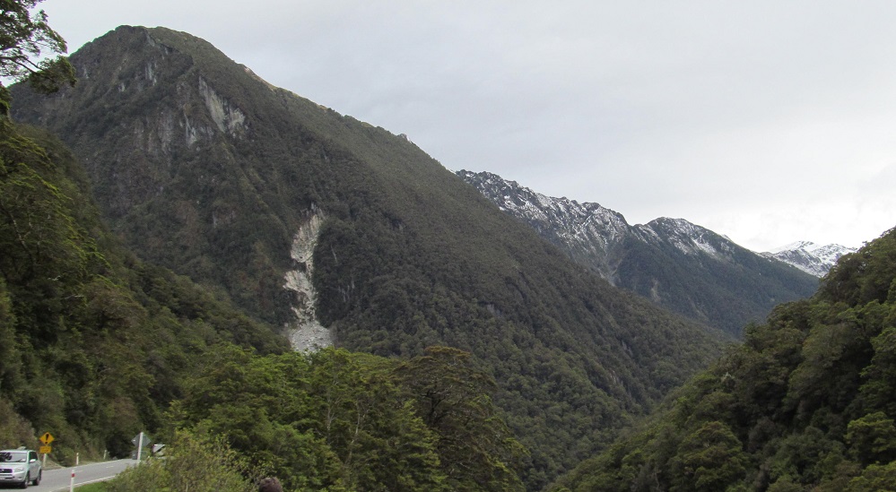
Once we started moving again, I saw the first hint of the McKerrow Range (Mt. Shrimpton, though not that scrawny), which heralds my arrival at the Queenstown-Lakes District.
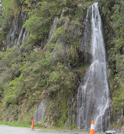
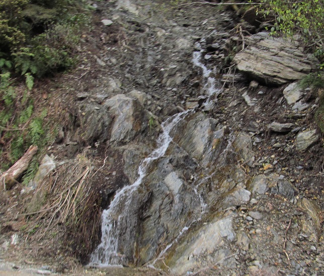
But first, enjoy the waterfalls of Haast Pass (a.k.a. Tioripatea), photographed at minimal speed.
Continue south on Highway 6 into Queenstown-Lakes District
Back north on Highway 6
Back to Westland District main page
Back to Highway 6 main page
Back to New Zealand Non-Roads
Back to Non-Roads main page