New Zealand - NZ 6 - Westland Dist. - Fox Glacier-Price Range
Highway 6, Westland District -
Fox Glacier to Price Range
All photos were taken heading south.
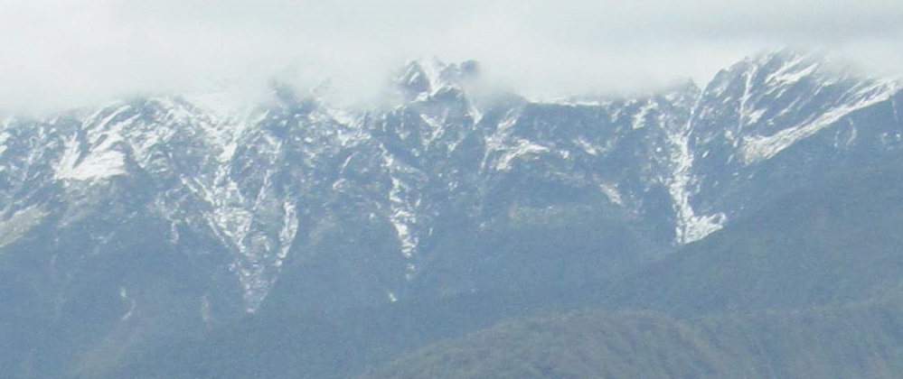
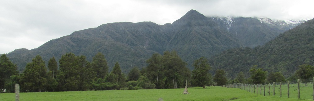
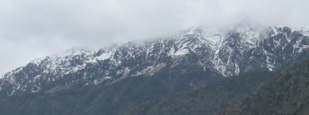
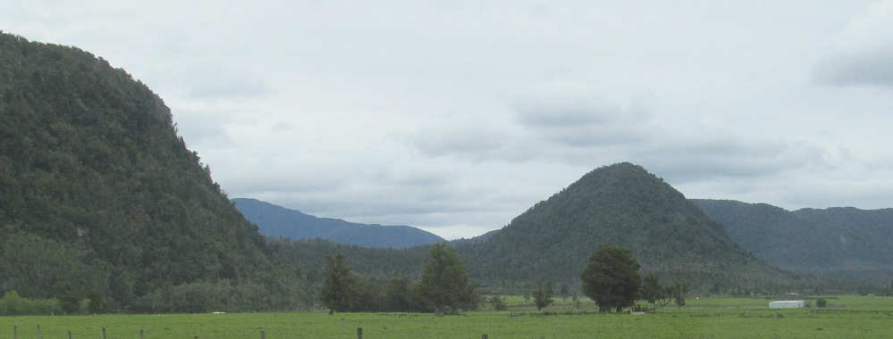
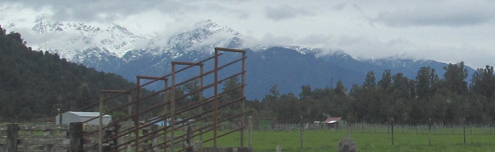
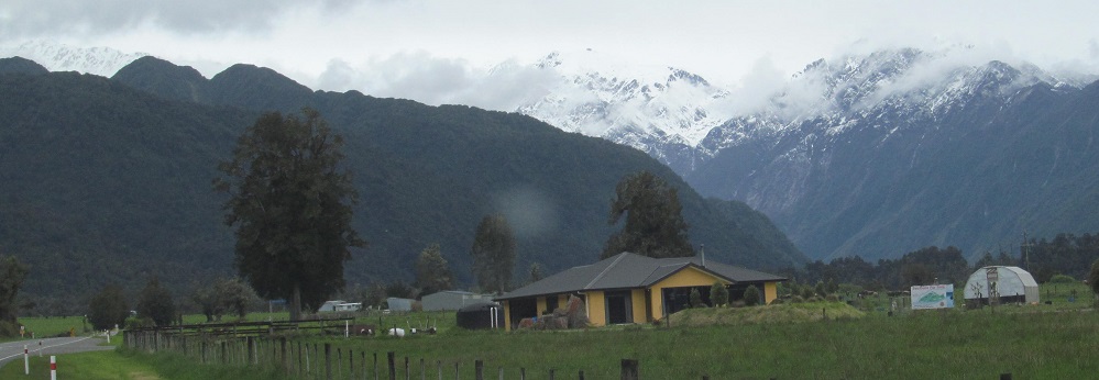
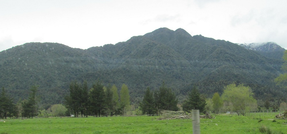
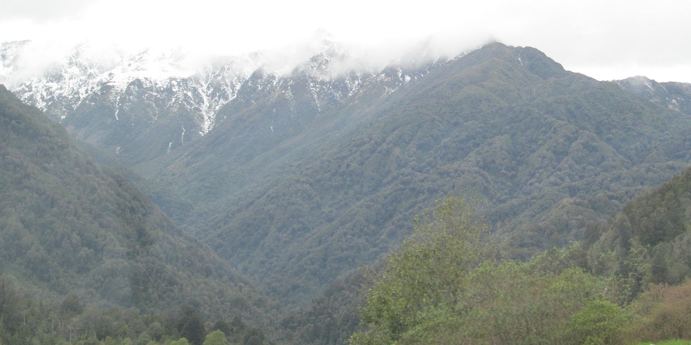
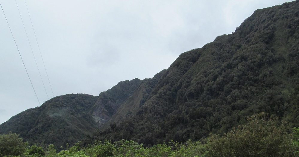
Leaving the Adams Range foothills, Highway 6 fills with views of Fardowner Peak and the beginning of the Price Range.
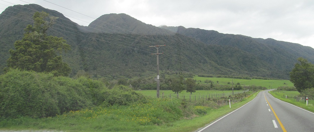

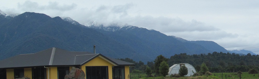
A couple of views to the northeast and southeast, and back to Price Range.
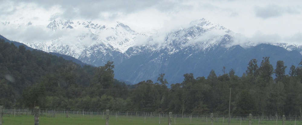
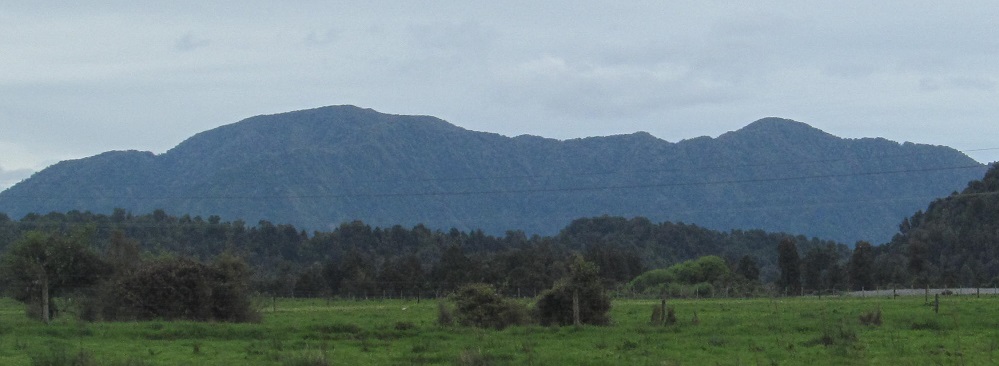
Getting closer to the range as I pick up the Whataroa River on my right.
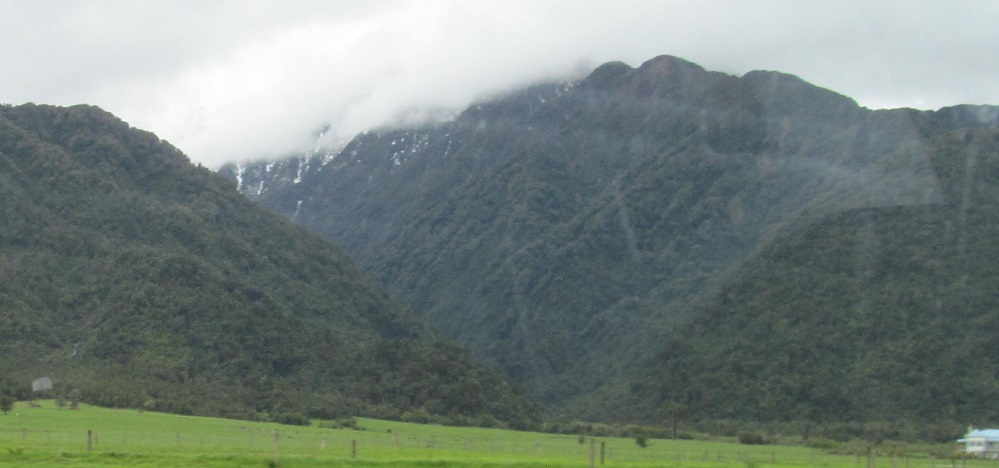
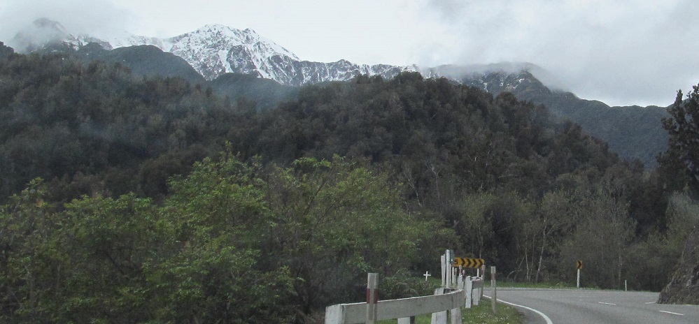
Looking left for a pair of photos, the second as I actually cross the Whataroa.

Leaving Whataroa (second photo at Matainui Creek), the last photo is a rare look to the west. As if there's anything there.
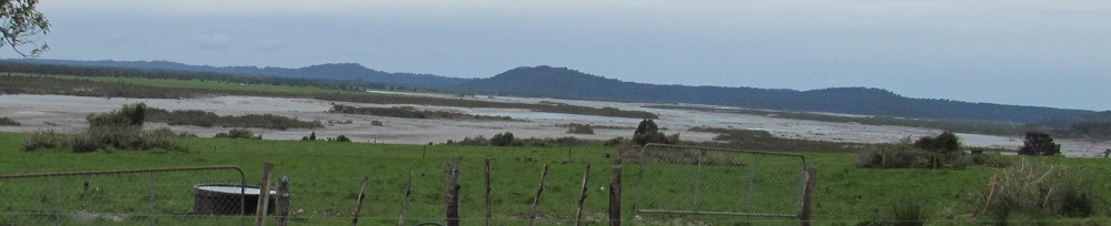
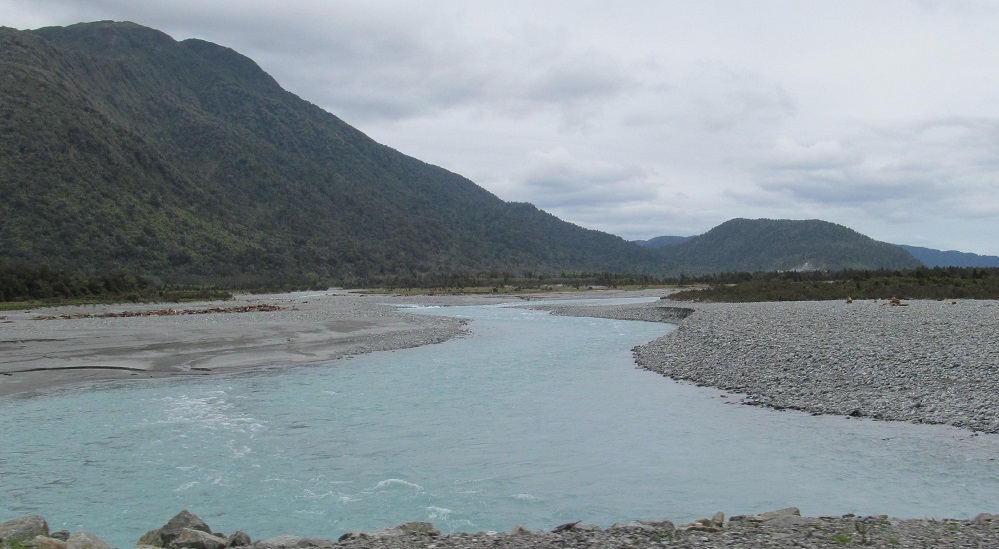
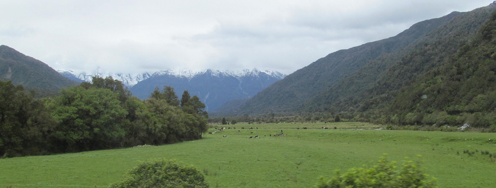
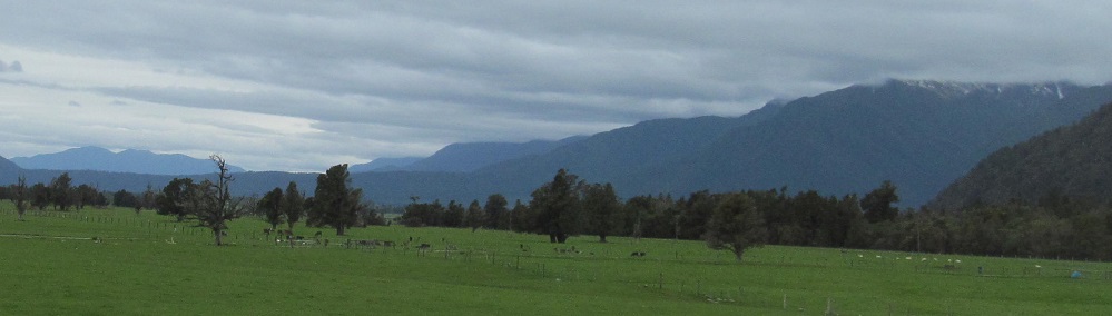
Looking south and north along the Waitangitanoa River.
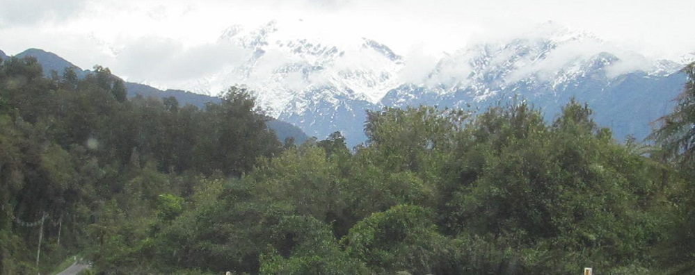
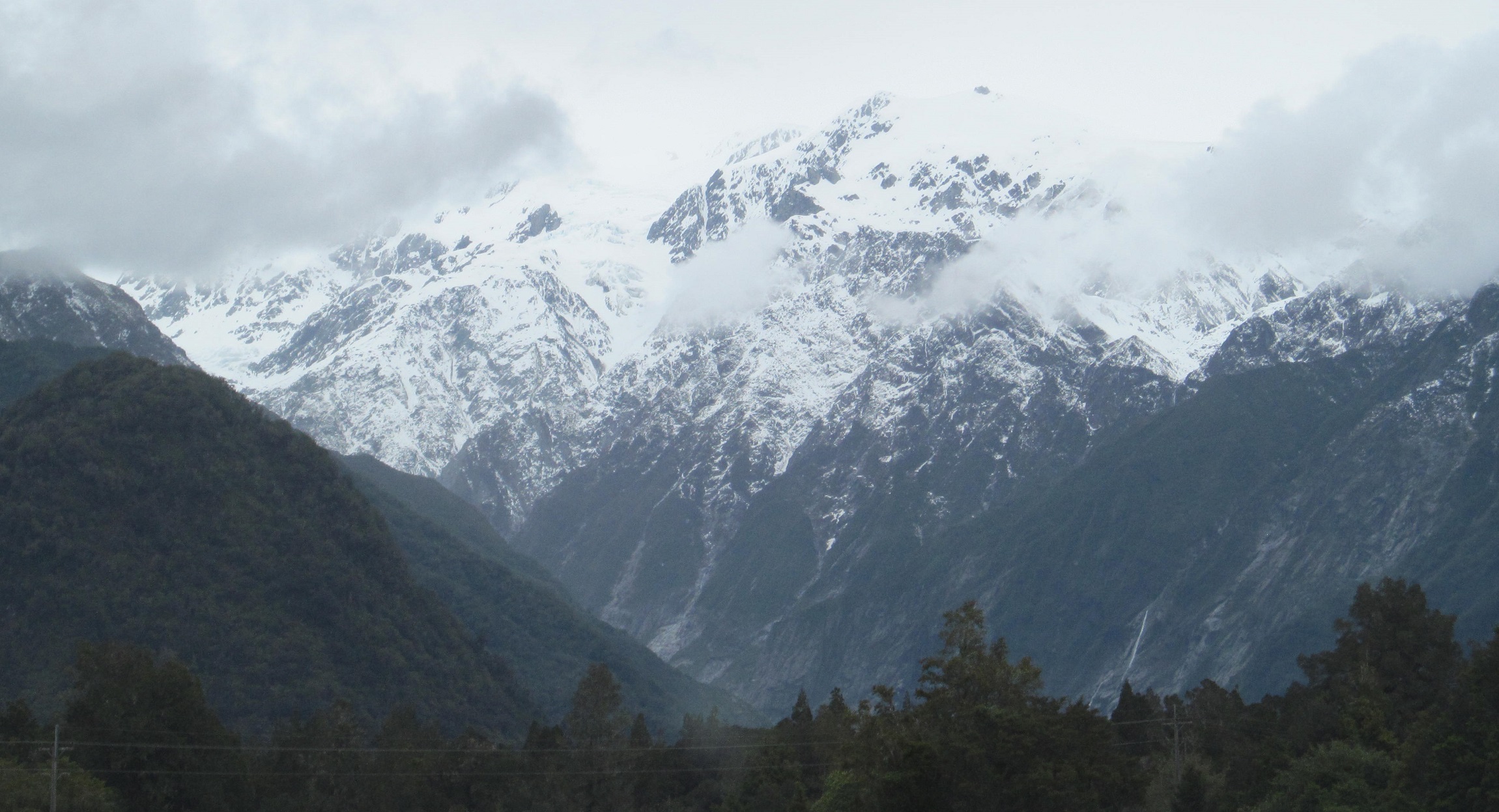
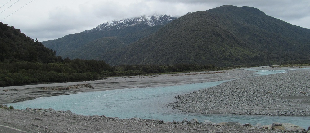
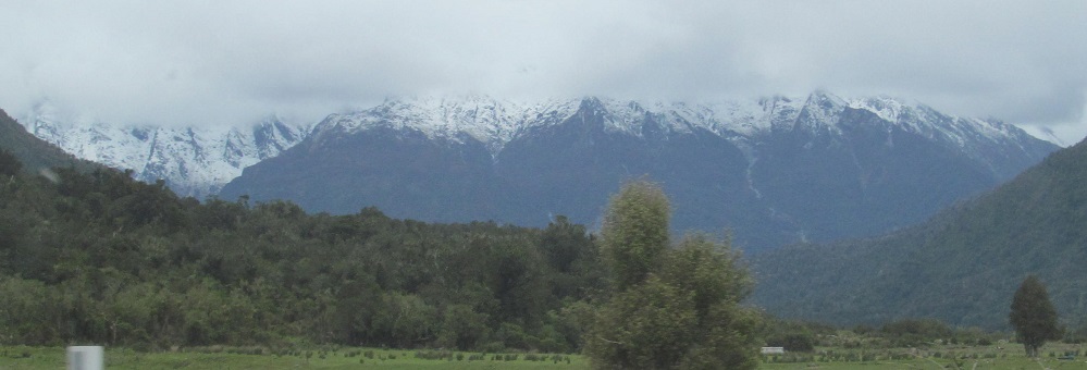
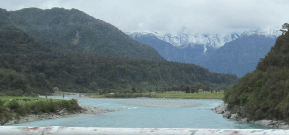
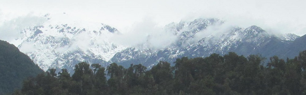
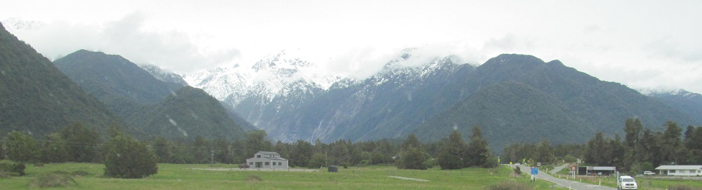
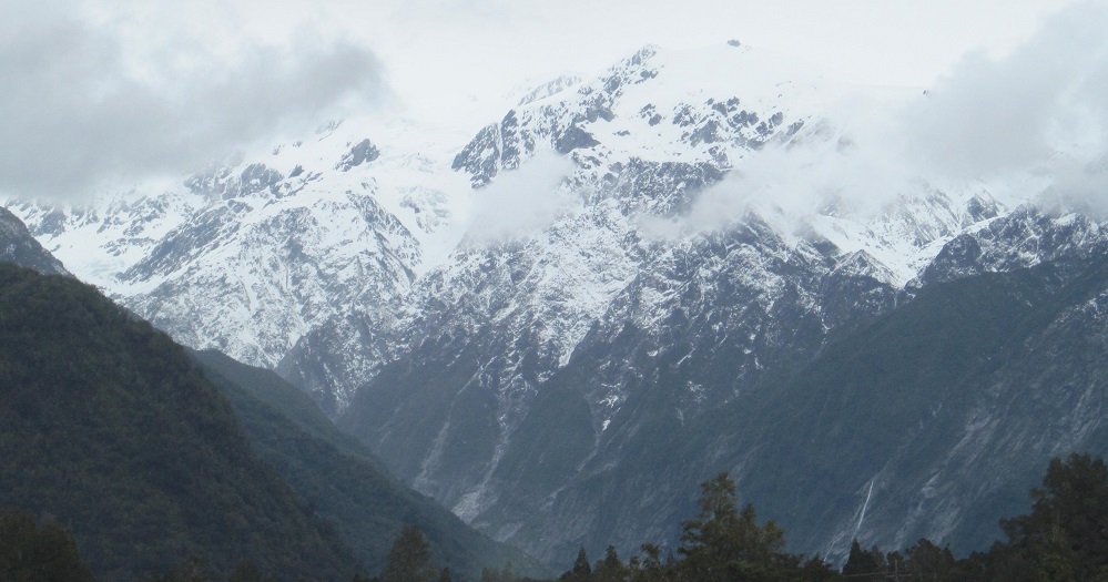
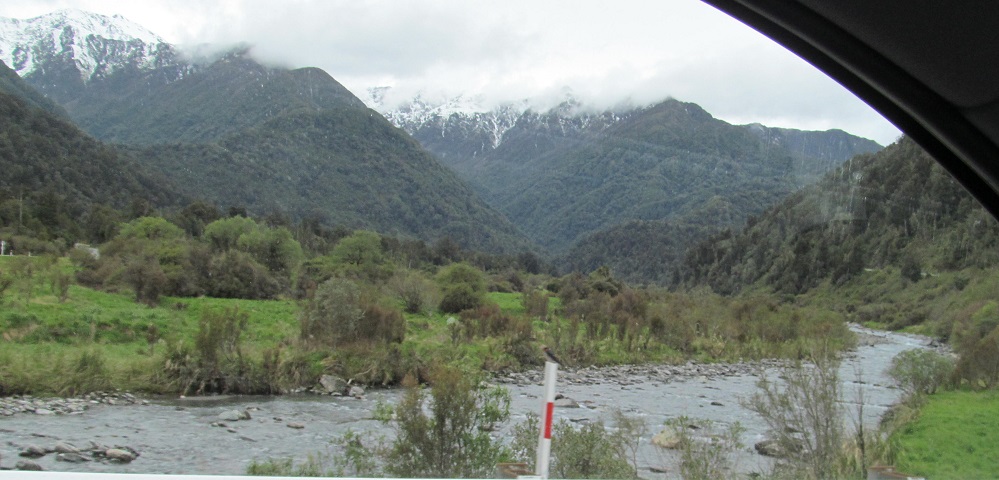
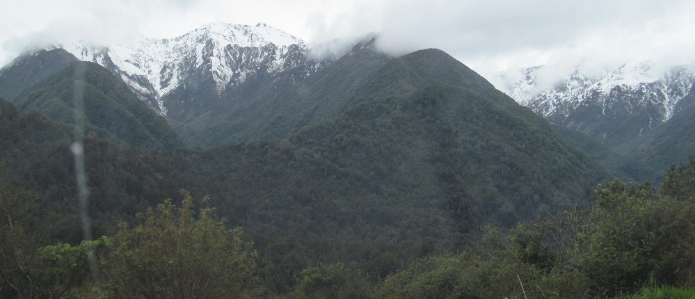
We left the Price Range behind, but the South Island has no shortage of snowcapped peaks. What you see here is the convergence of the Fritz and Victoria Ranges, both arms of the Southern Alps, as they come together at Franz Josef Glacier. The last two photos are left and right complements.
Looking east at Omoeroa Hill, then west.
As I get across Tatare Stream, I'm in the town of Franz Josef Glacier, which tells you the eponymous glacier is not far away. Click on the last photo for a larger, crisper apple version.
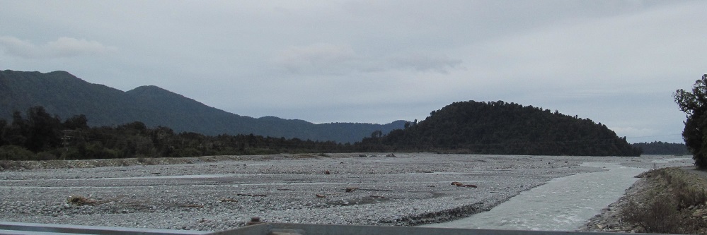
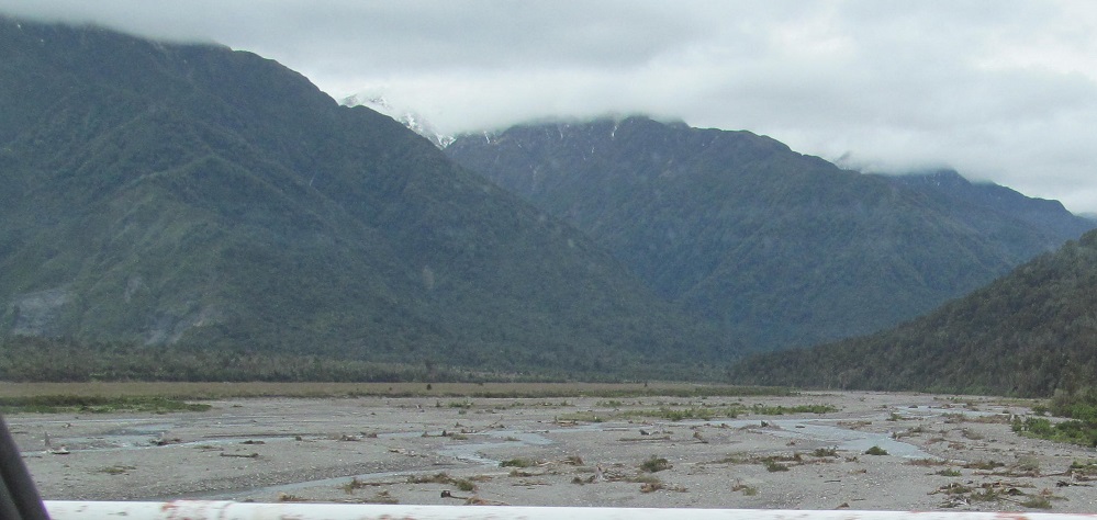
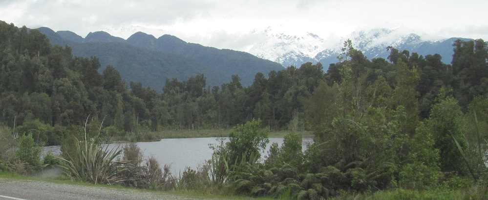
Looking north and south along the Waiho River.
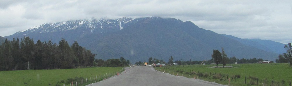
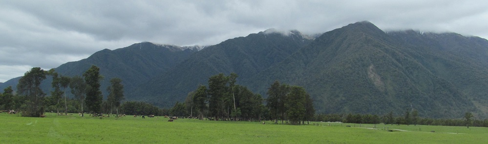
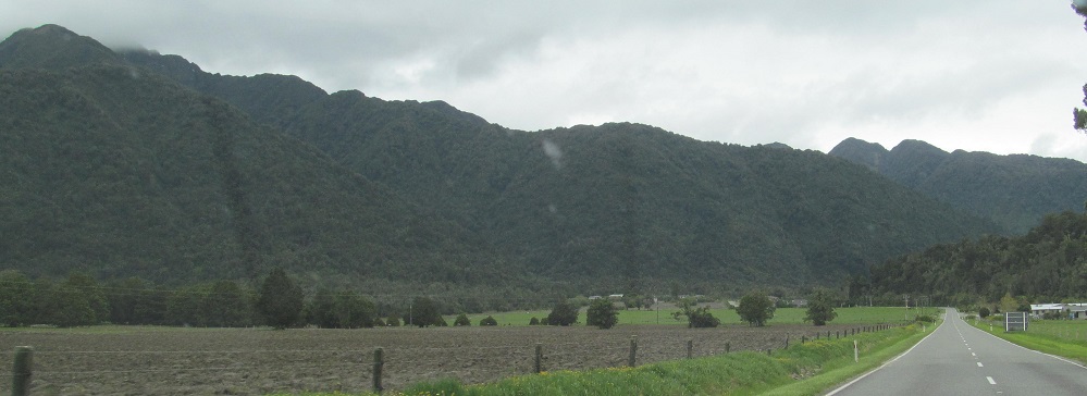
Leaving the town of FJG, I don't even see the glacier from here, just Louisa Peak and Alex Knob blocking my view of the Southern Alps.
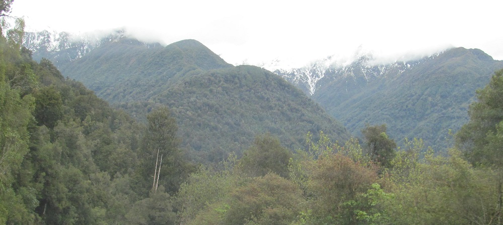
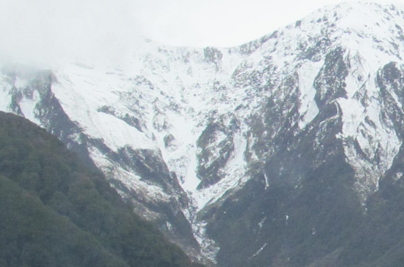
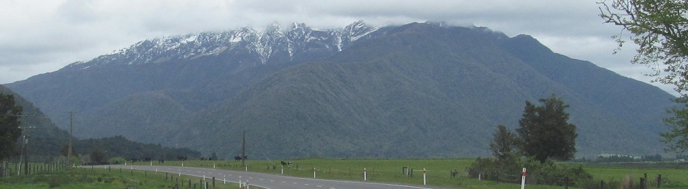
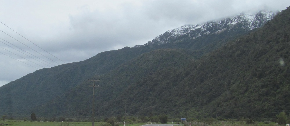
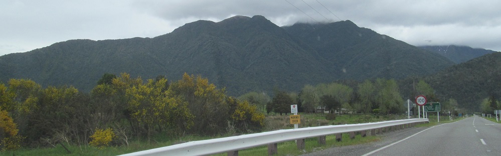
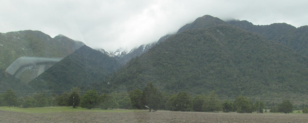
The Fritz Range (peaked by Mt. Moltke) peeks over the foothills of the Omoeroa Range as I climb through Omoeroa Saddle.
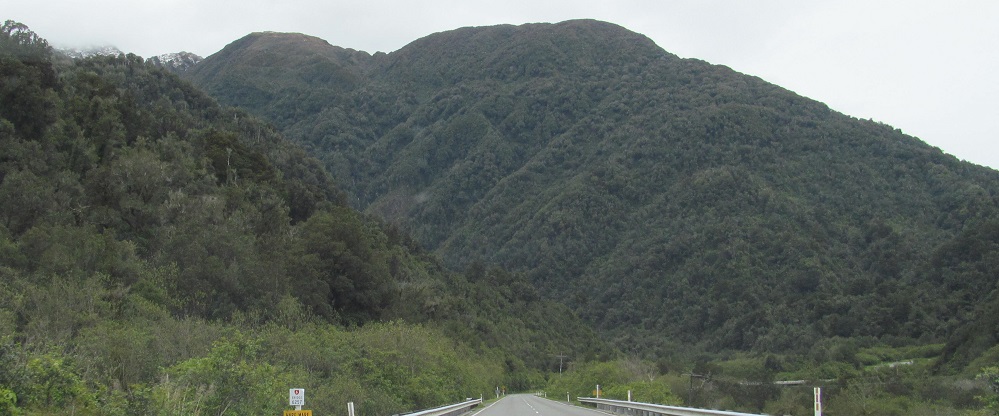
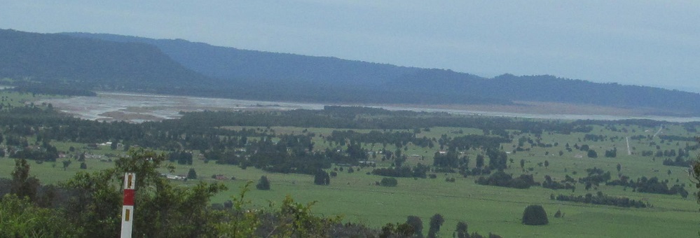
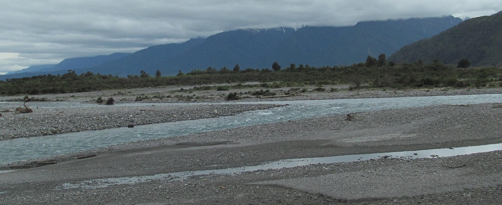
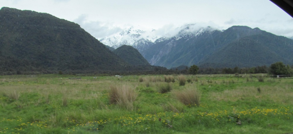
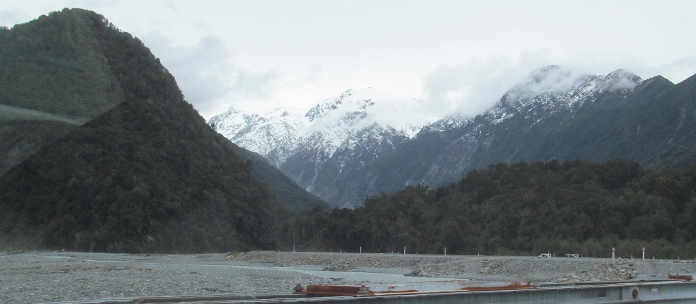
Continuing over the Cook Saddle and down to the Fox River valley and the town of Fox Glacier. Guess what the source of the Fox River is. Guess.
Continue south on Highway 6
Back north on Highway 6 to Adams Range
Back to Westland District main page
Back to Highway 6 main page
Back to New Zealand Non-Roads
Back to Non-Roads main page