New Zealand - NZ 6 - Westland Dist. - Adams Range & N.
Highway 6, Westland District -
Adams Range and north
All photos were taken heading south.
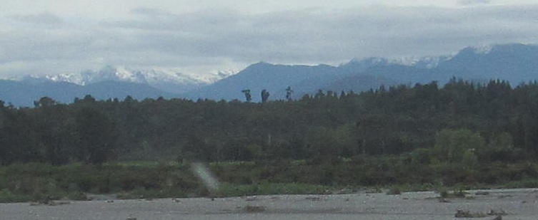
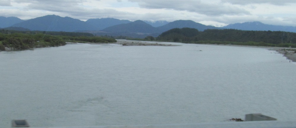
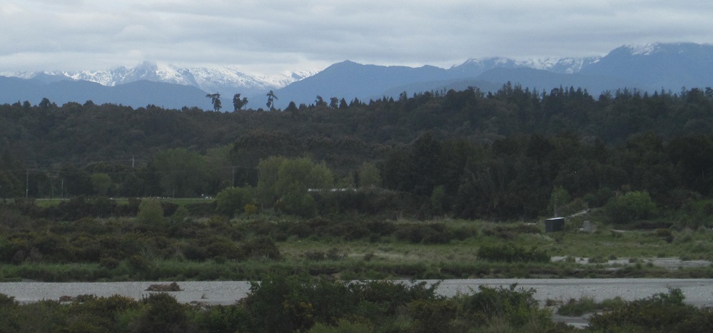
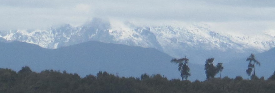
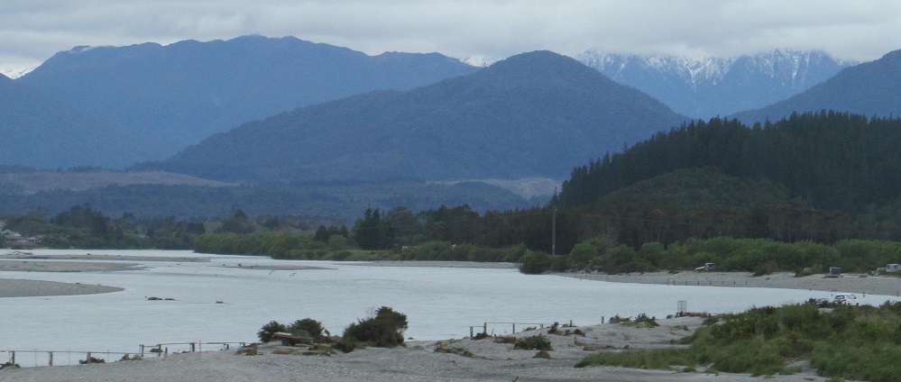
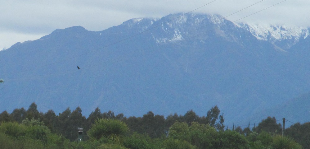
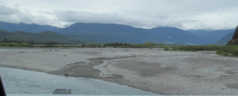
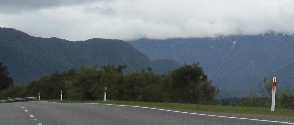
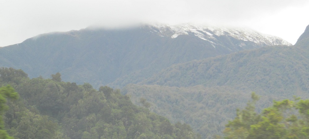
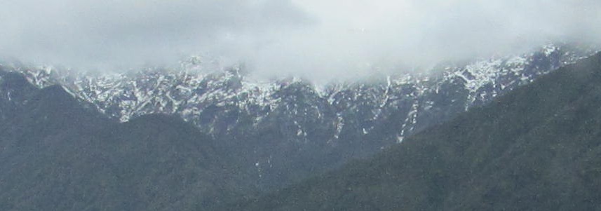
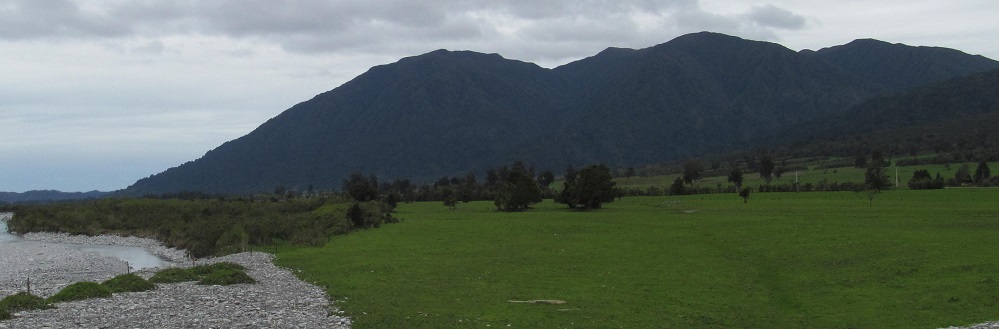
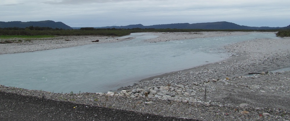
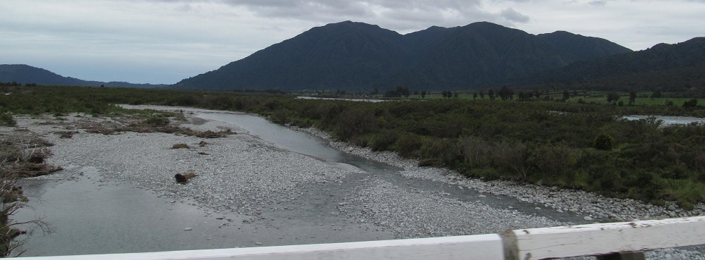
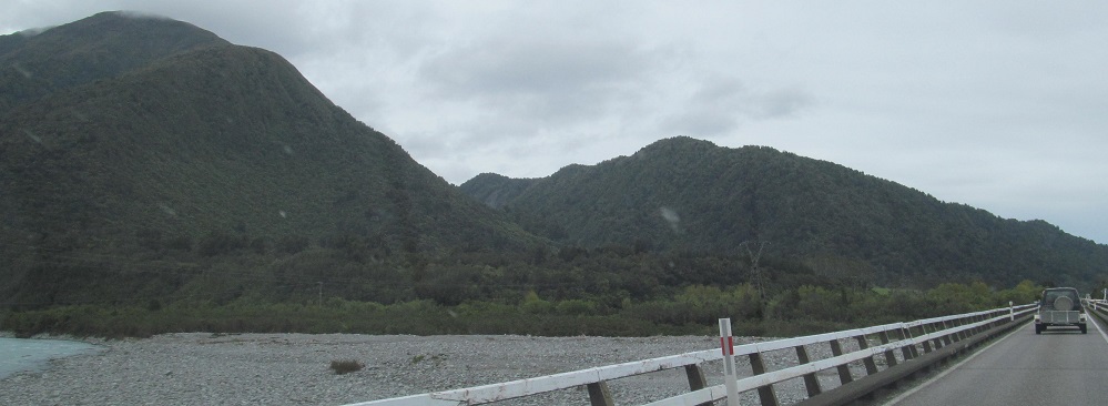
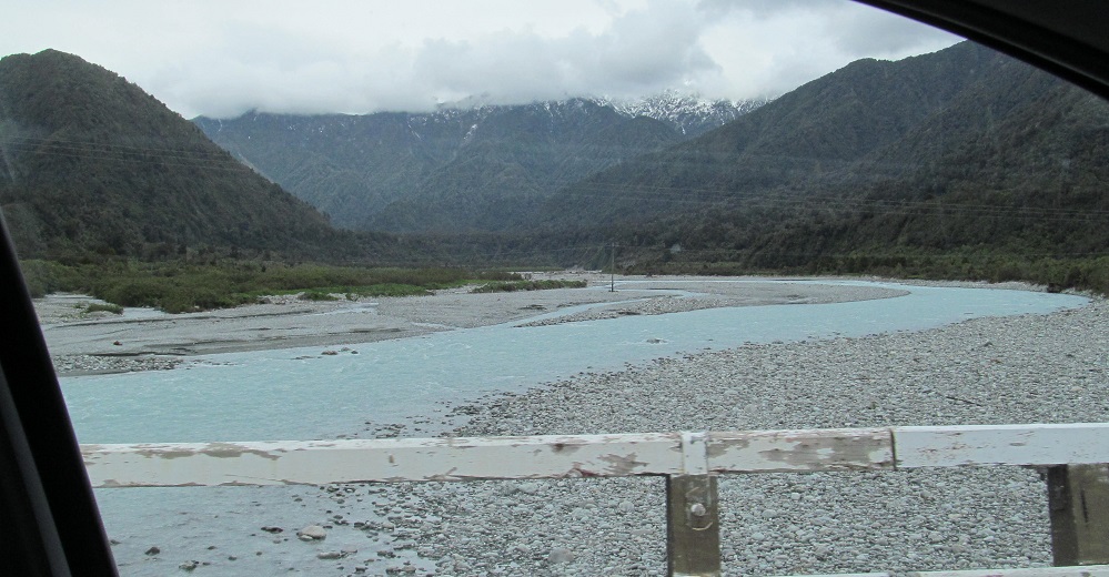
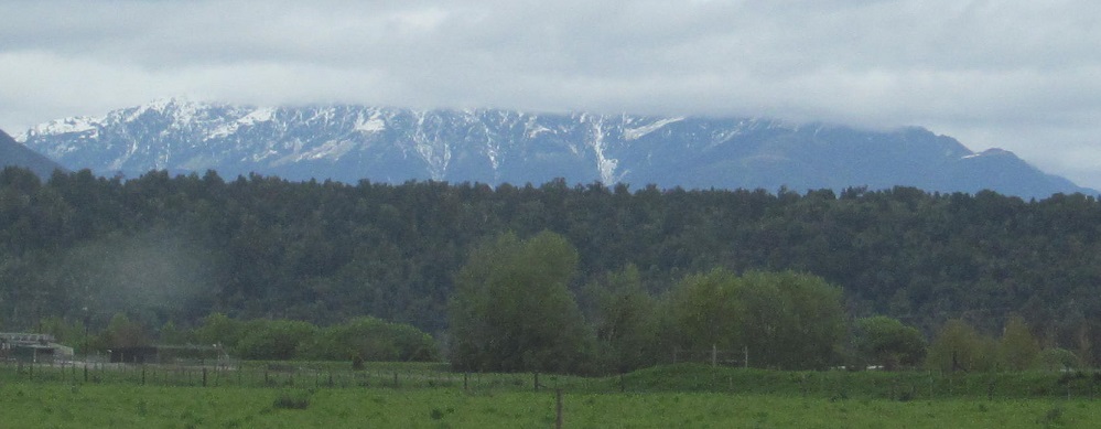
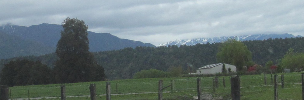
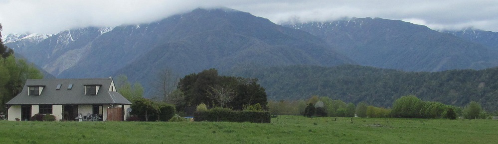
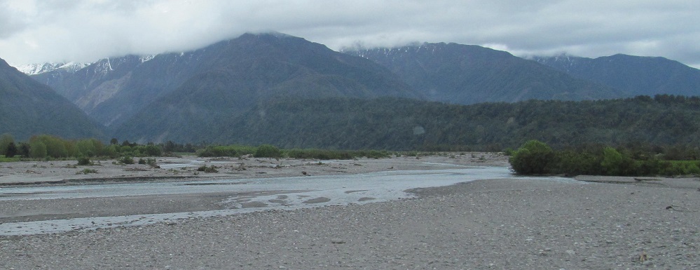
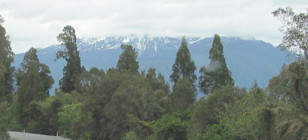
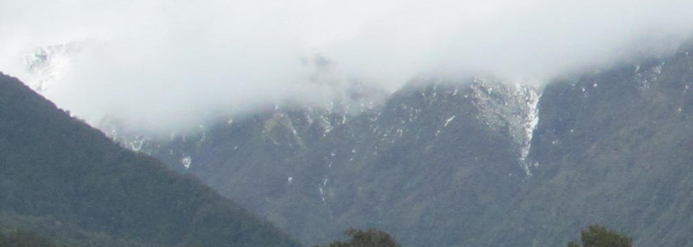
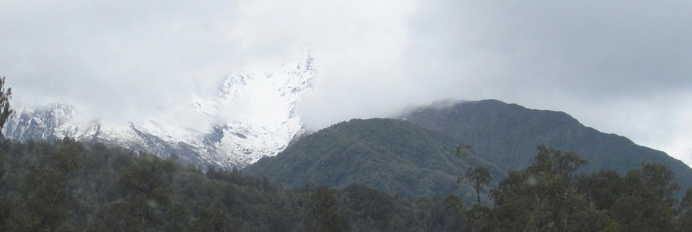
Crossing the Hokitika River, leaving the eponymous town. There are plenty of mountains to the left as the Southern Alps (Ka̅ Tiritiri o te Moana) start to rise, and the 4th photo just might be showcasing Mt. Cook, the tallest mountain in New Zealand and about 100 km away.
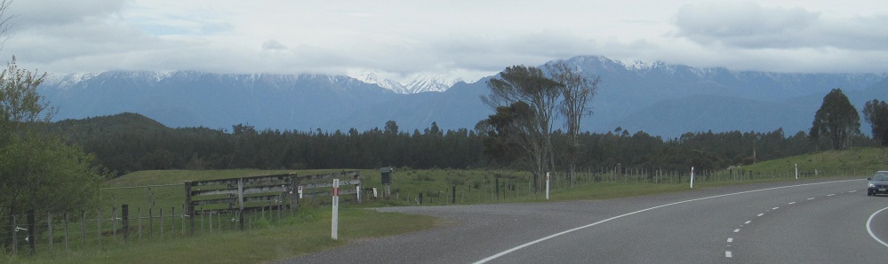
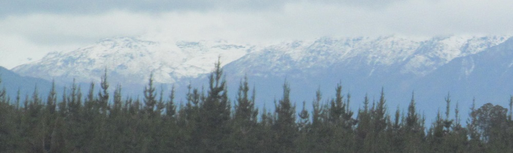
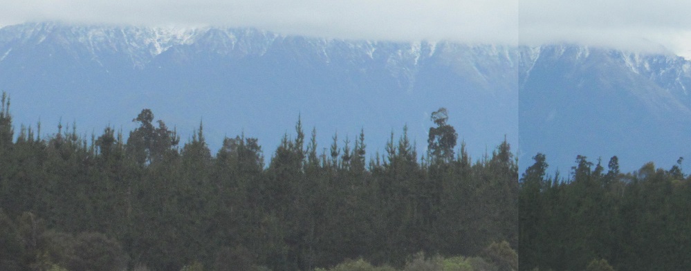
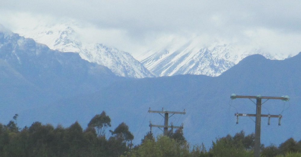
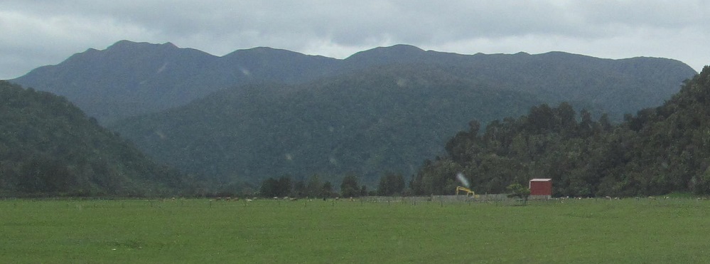
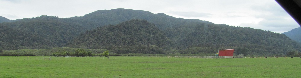
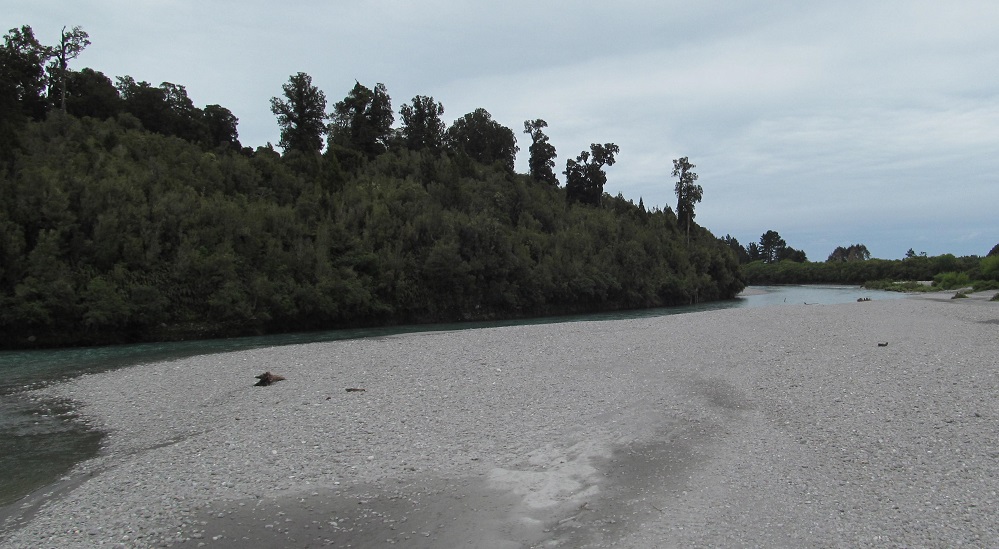
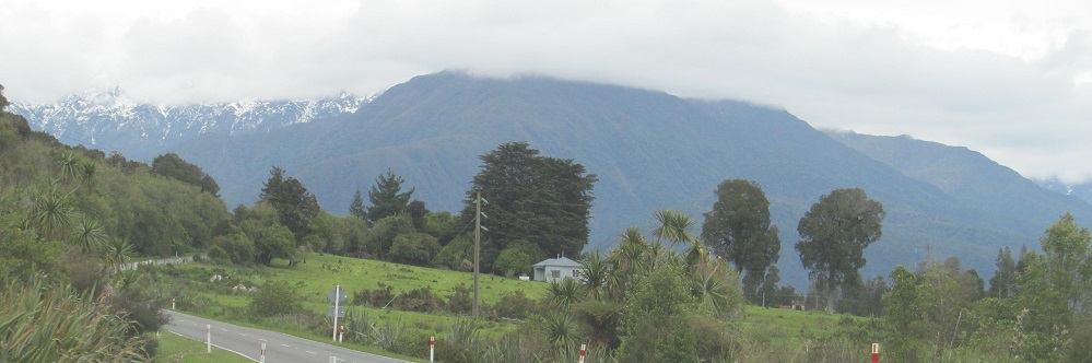
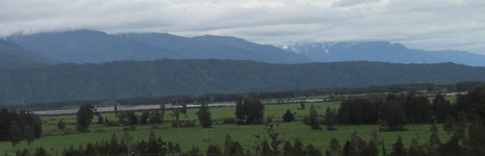
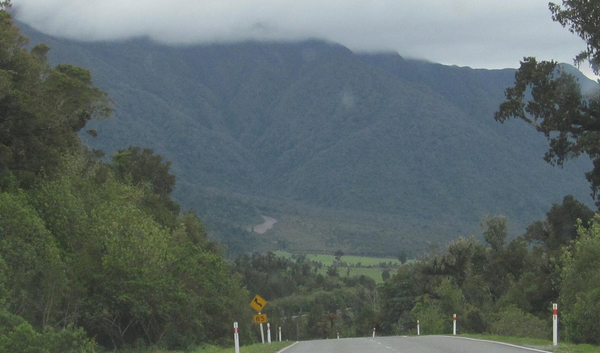
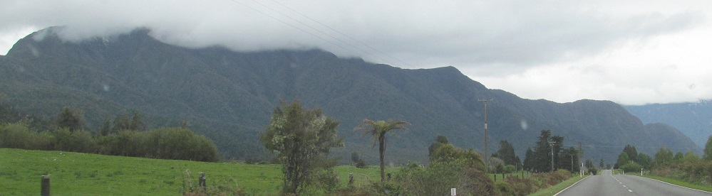
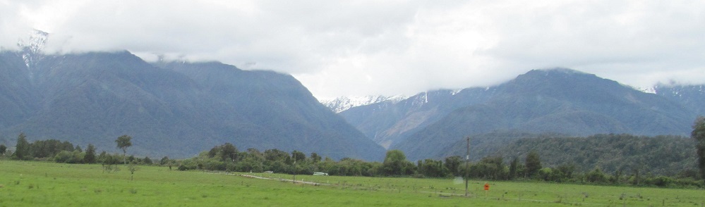
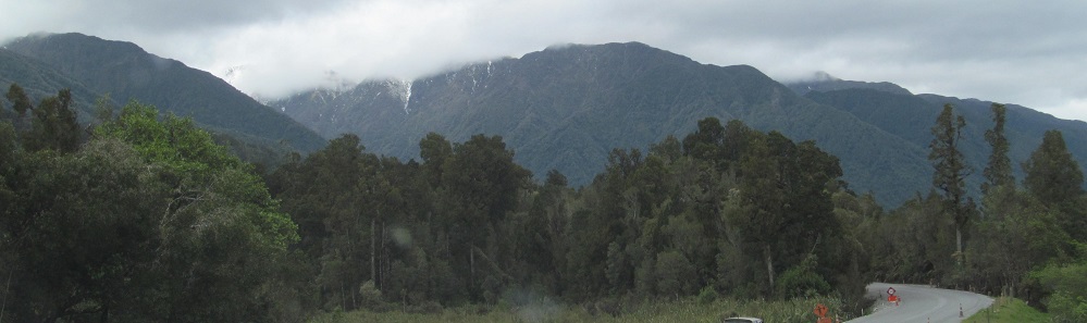
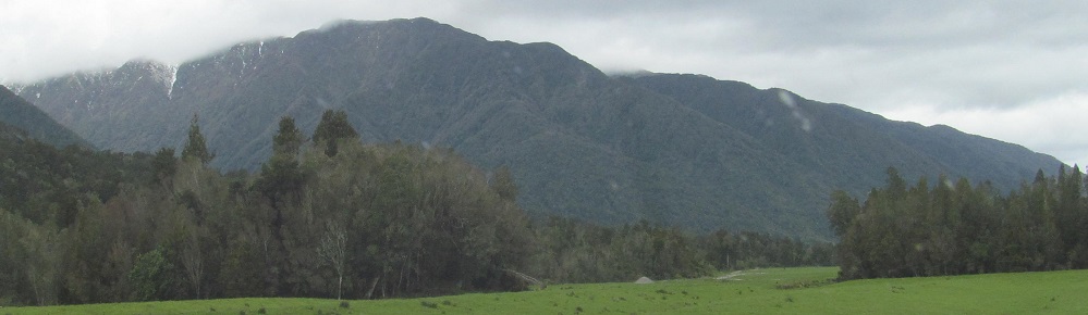
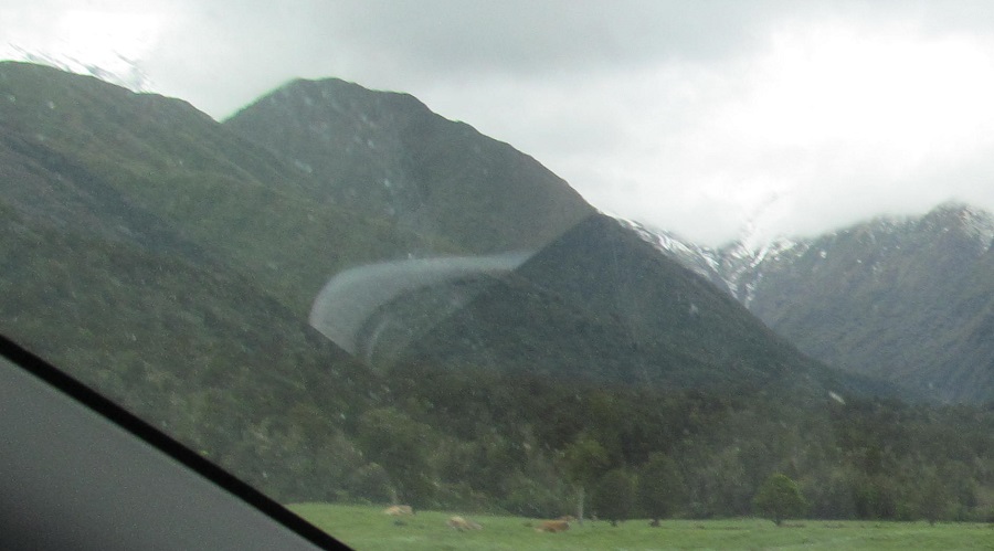
Things are pretty. Have a panorama (last four photos, left to right).
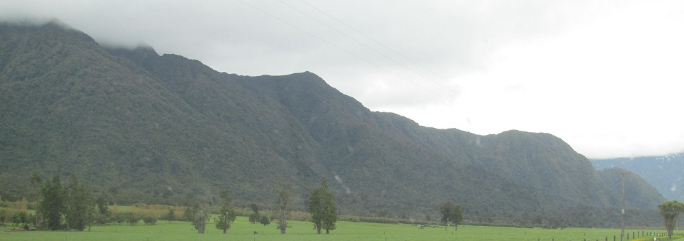
The first 2 photos are to the east a few km past Ross, and the last two look east (left) and west (right) along the Waitaha River.
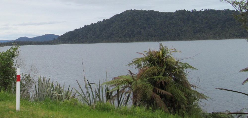
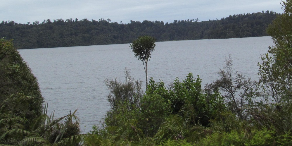
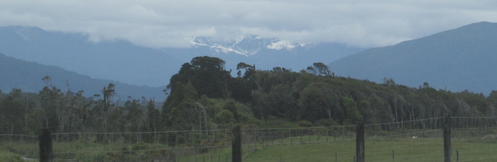
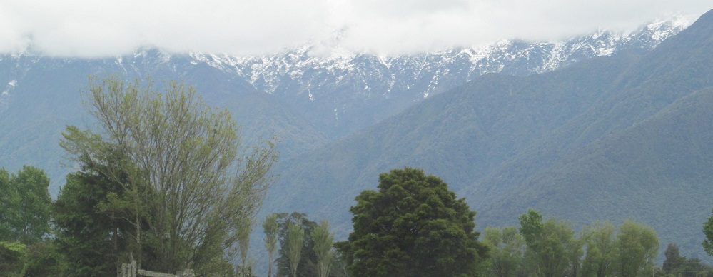
Two views of Lake Ianthe/Matahi on the west side.
The last 3 photos are another left-to-right panorama. The snowy mountains to the left are Avalon and Smith Peaks and the foreground right is Willberg Mountain, all together in the Willberg Range.
Photos 2/3 are a left-right pair, and the last three photos pan from left to right.
C-c-c-c-combo breaker! I decided you've had too much fun with mountain scenery, so I threw in the Wanganui River. The first 3 photos actually look west - "actually" considering how all the cool mountains are east.
Reverse panorama! From east to west, I end on the cloudiness that should be Mt. Adams somewhere in the distance.
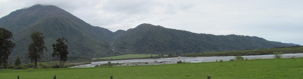
Looking south along the Poerua River.
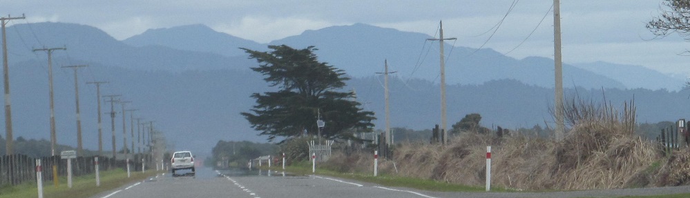
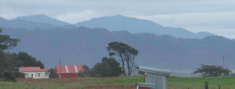
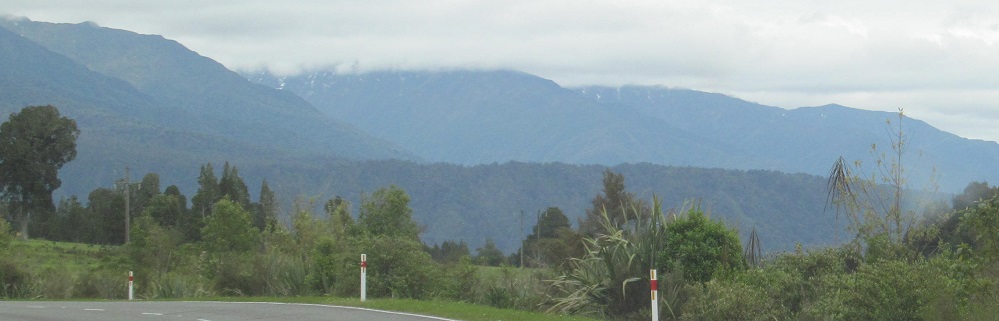
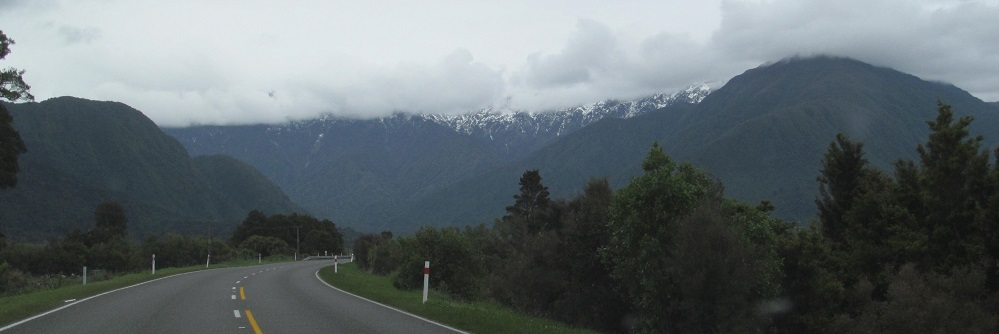
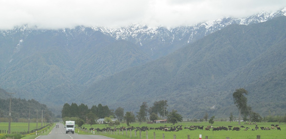
Winding my way through the foothills of the Adams Range on Highway 6.
Continue south on Highway 6 to Price Range
Back north on Highway 6 to Grey District
Back to Westland District main page
Back to Highway 6 main page
Back to New Zealand Non-Roads
Back to Non-Roads main page