New Zealand - NZ 6 - Southland District - S. of Athol
Highway 6, Southland District, south of Athol
All photos were taken heading south.
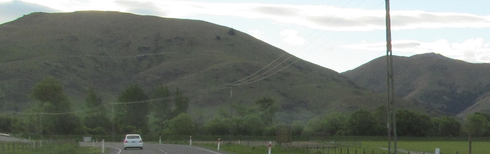
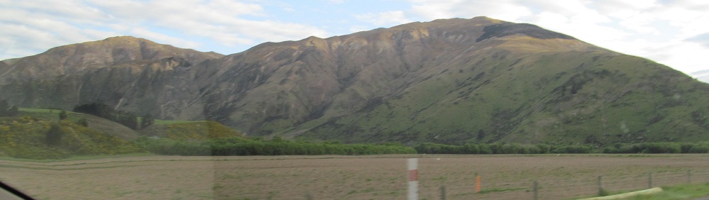
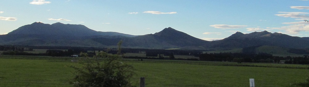
Starting off from Athol, still heading west, looking progressively more to my right until I get to Mid Dome (the rightmost feature in this set).
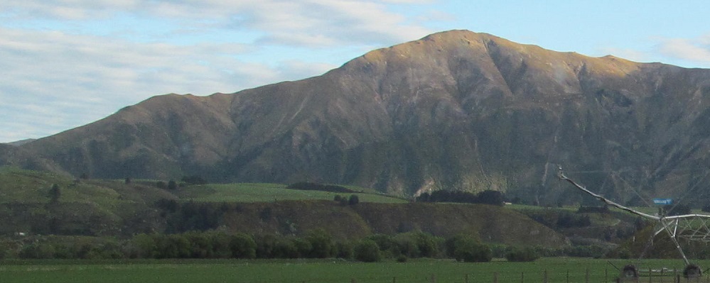
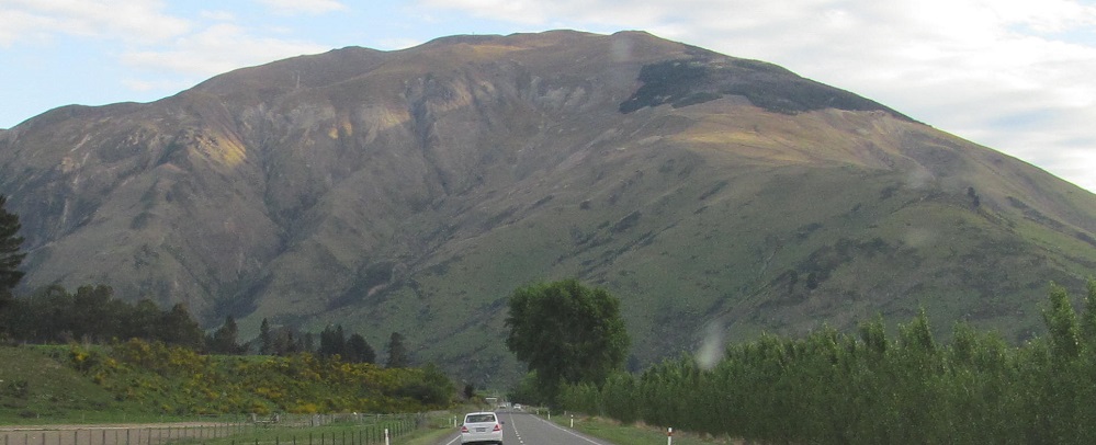
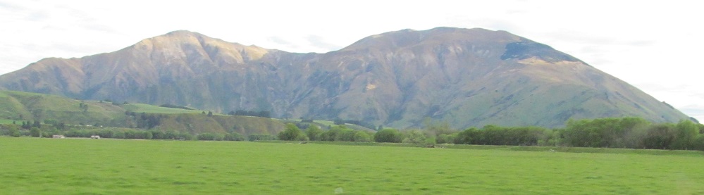
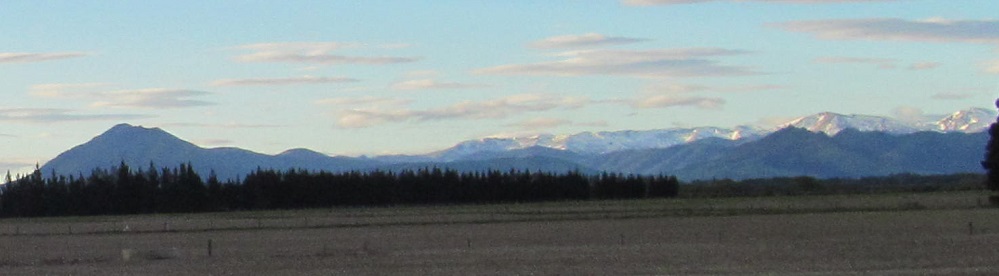
The end of the Slate Range is to the east, and then I break the hill ahead into Mid Dome (last photo) and Not Mid Dome (2nd photo).
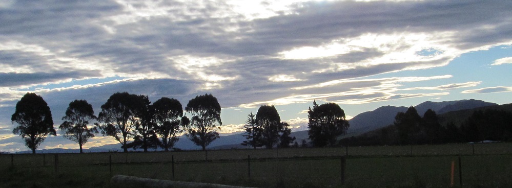
The Eyre Mountains are still behind me. Just checking.
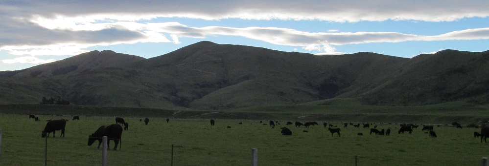
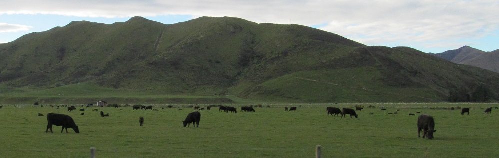
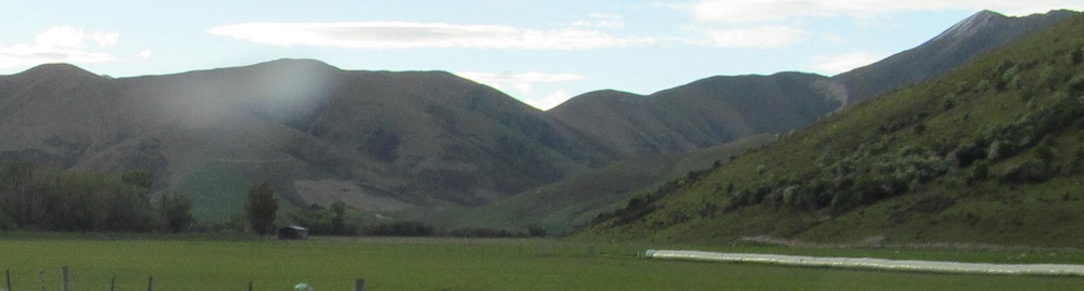
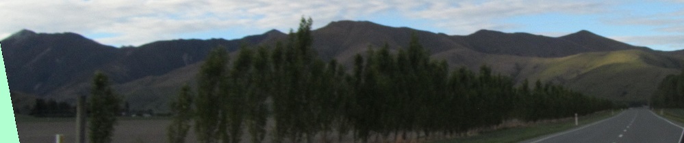
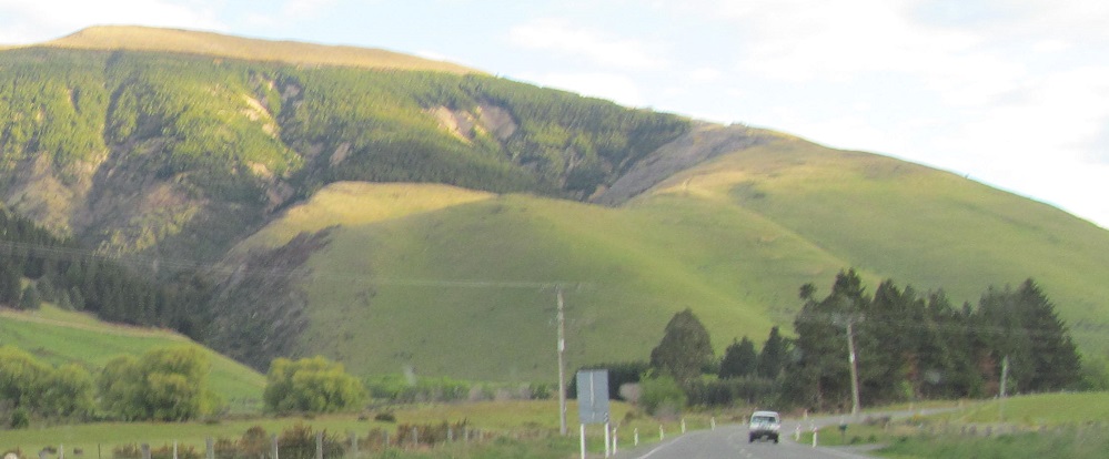
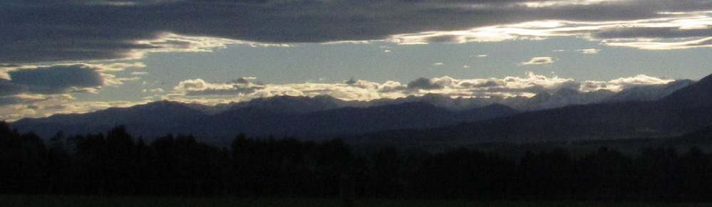
Left, right, more right, then the end of the ridge that's been on my right.
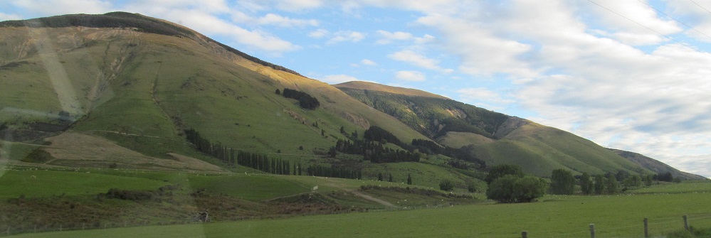
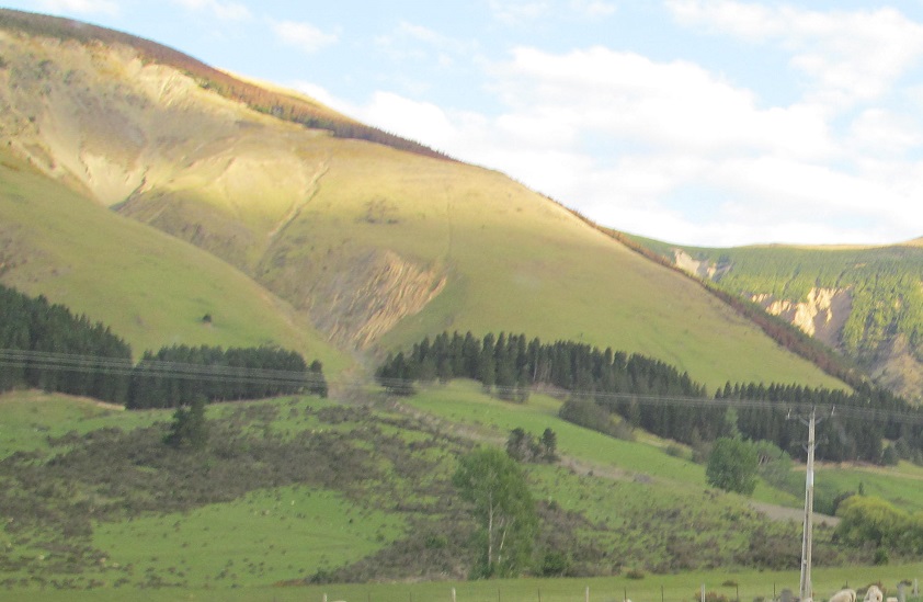
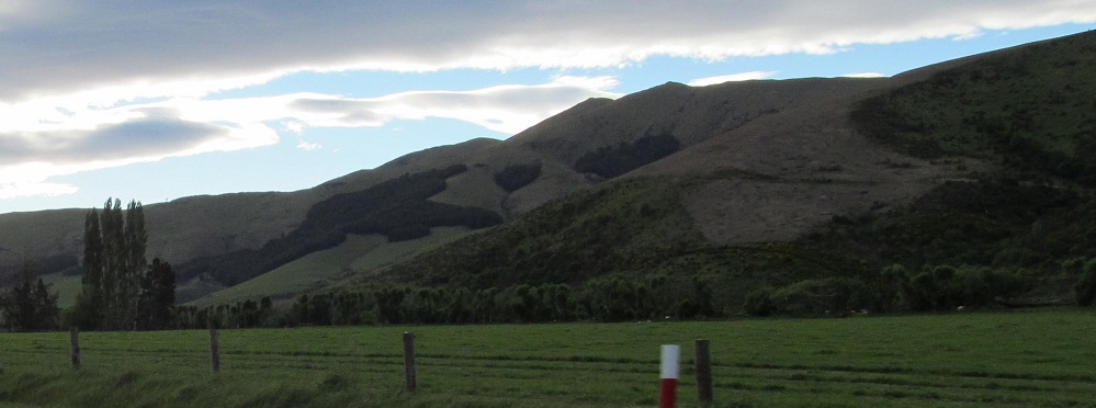
Strange-looking hills to my left.
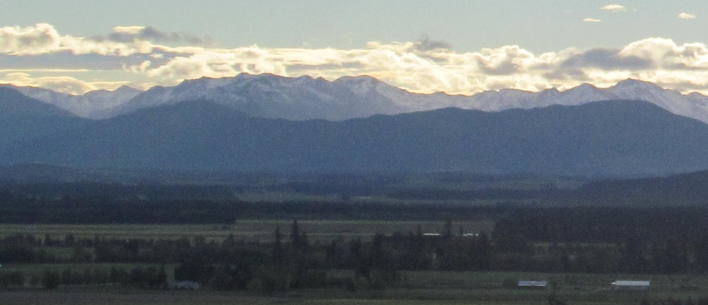
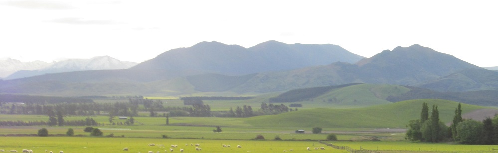
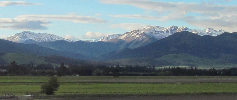
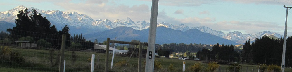
Say hello to the Takitimu Mountains. They're in the southwestern distance as the sun starts to make its way below the hills to my right.
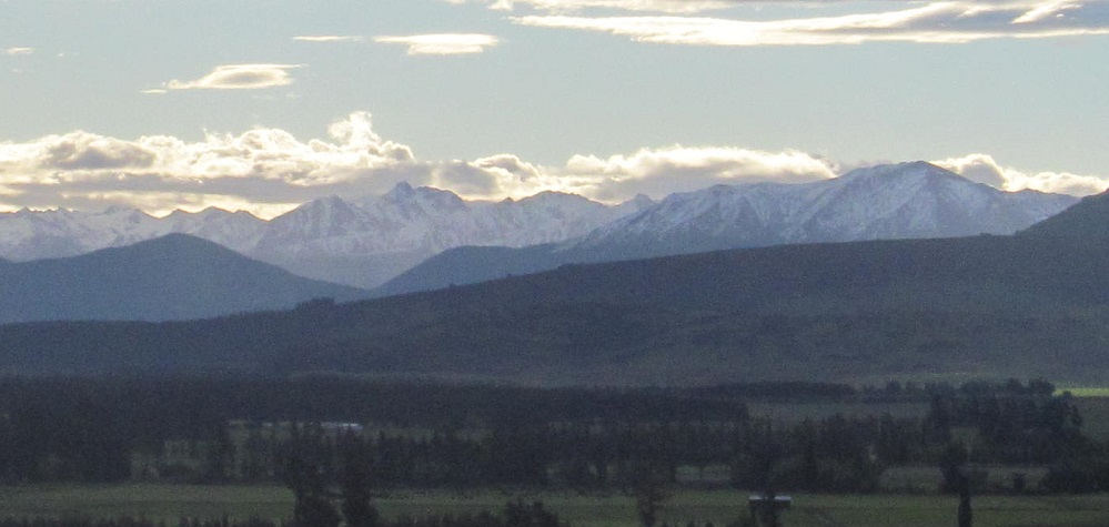
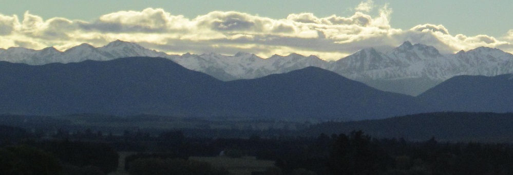
A triptych and a diptych of Takitimu, plus vocabulary words to take home with you.
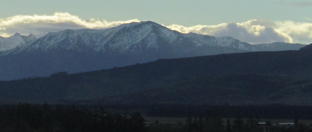
Say goodbye to the Takitimu Mountains. (The second photo is just to their right/my west.) Also say goodbye to the sun, as it does its last to keep the snow white.
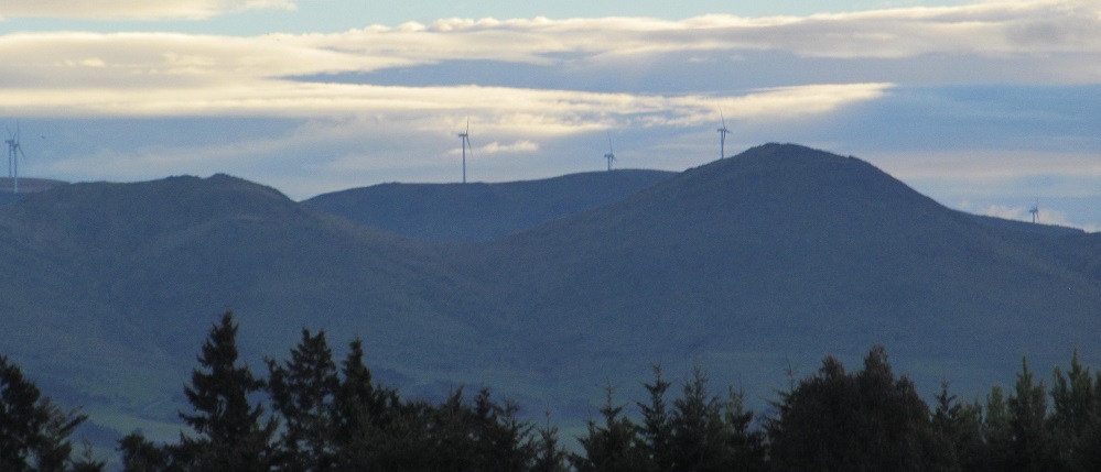
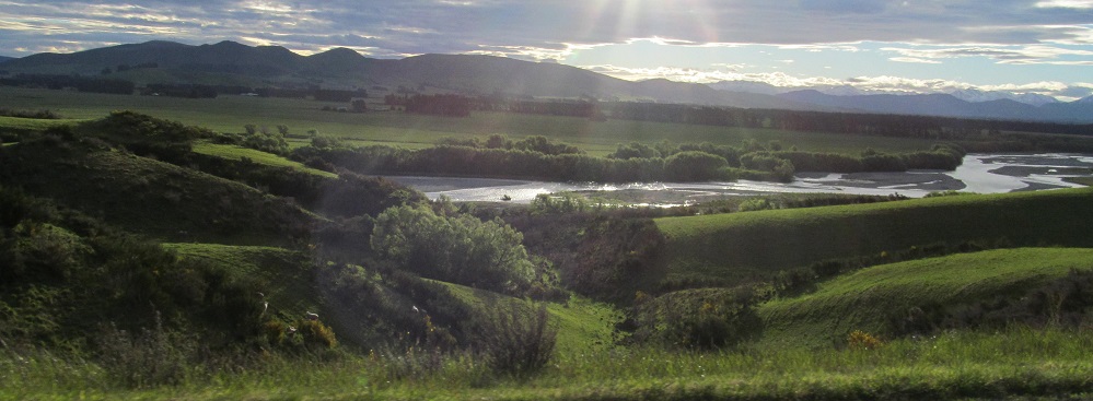
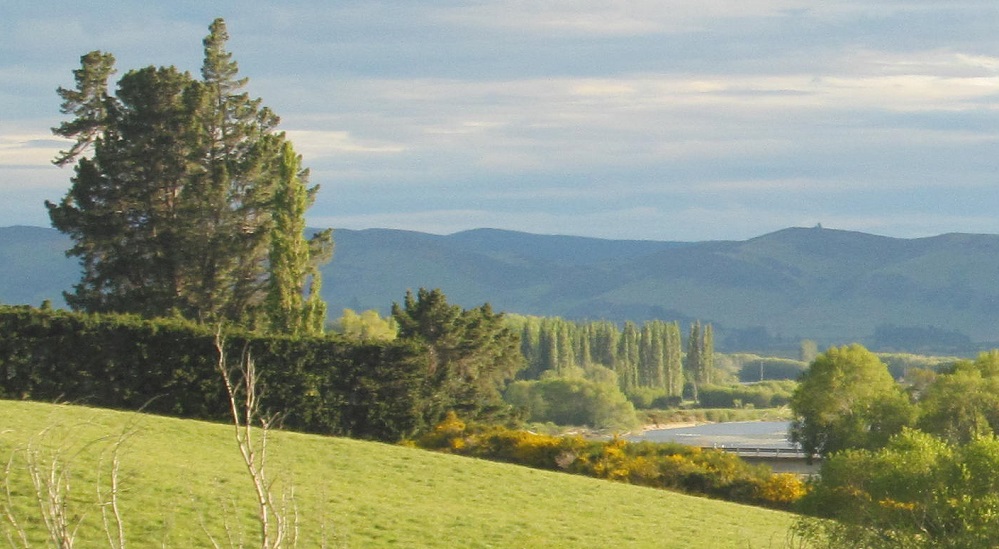
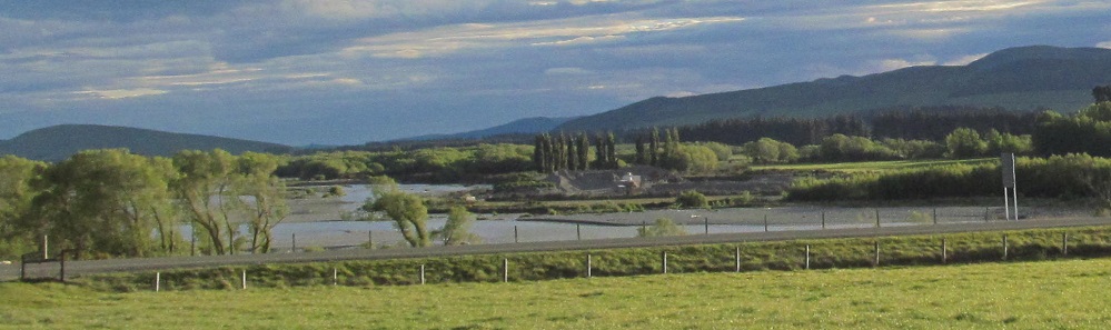
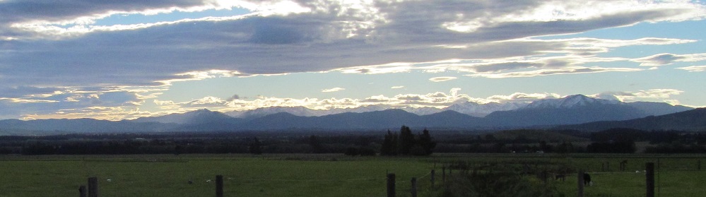
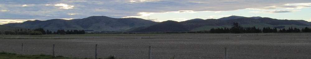
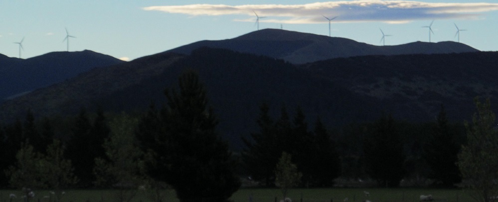
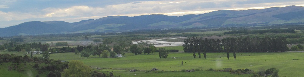
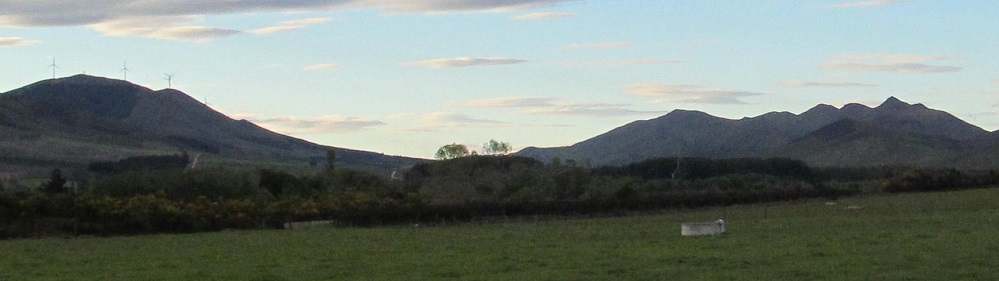
The Oreti River comes closer on my right, while wind farms gyre and gimble in the wabe distance. The last peeks of sun in the valley lend an almost Edenic quality to the riverscape.
Somehow, I can still see the Helen Peaks of the Eyre Mountains sunlit as I look north from Lumsden. This'll be the last we see of Mr. Sun.
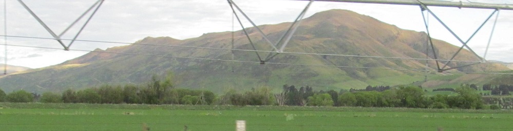
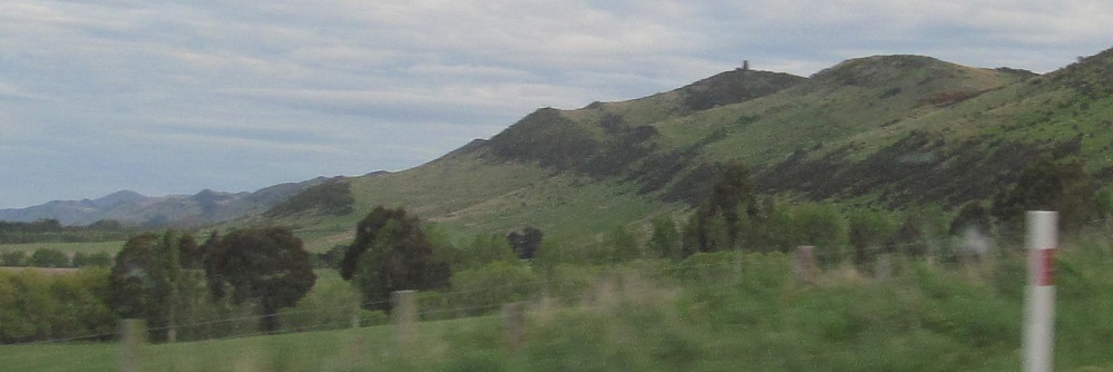
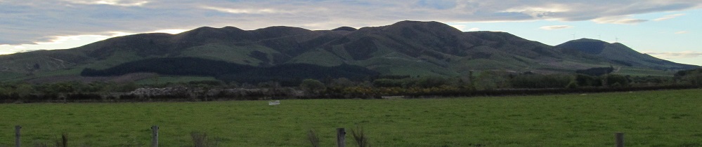
These may or may not be the Takitimu Mountains to my right. Just hills south of there.
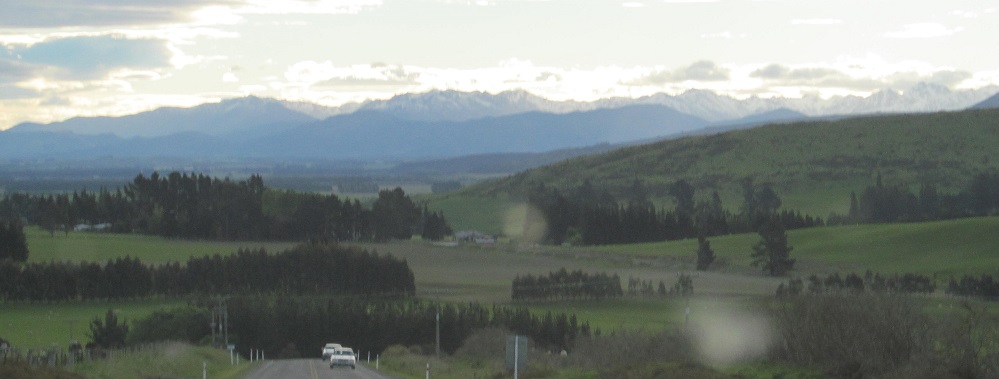
Right, left, and ahead into Waimea Plains.
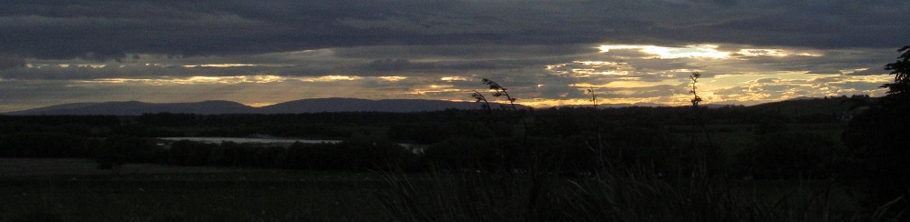
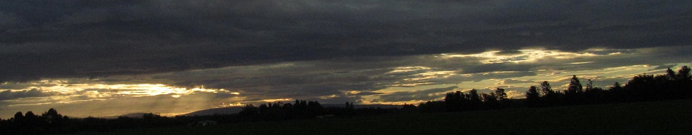
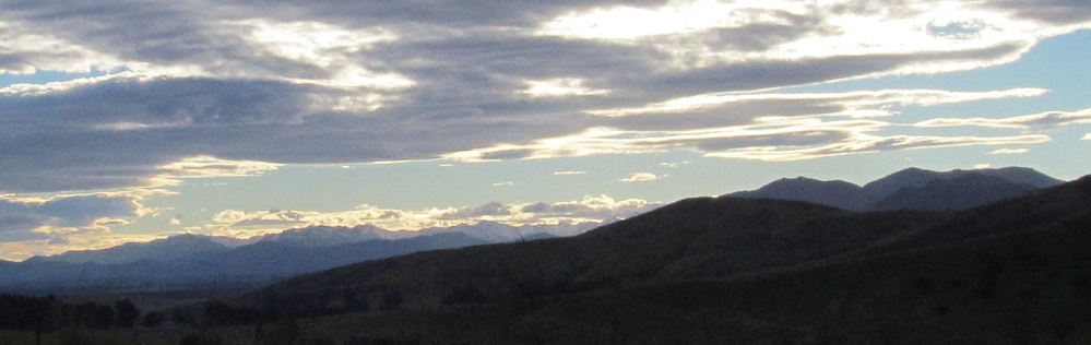
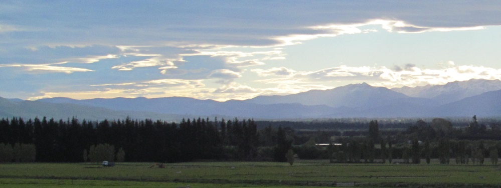
All of these photos are looking west. Once the terrain flattens out, I just have fireclouds to show you.
Continue south on Highway 6 into Winton
Back north on Highway 6 past Athol
Back to Southland District main page
Back to Highway 6 main page
Back to New Zealand Non-Roads
Back to Non-Roads main page