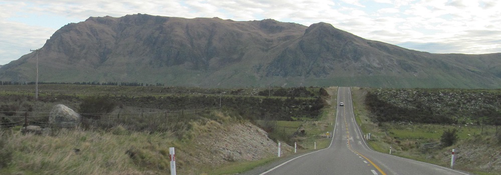
New Zealand - NZ 6 - Southland District - N. of Athol
Highway 6, Southland District, north of Athol
All photos were taken heading south.
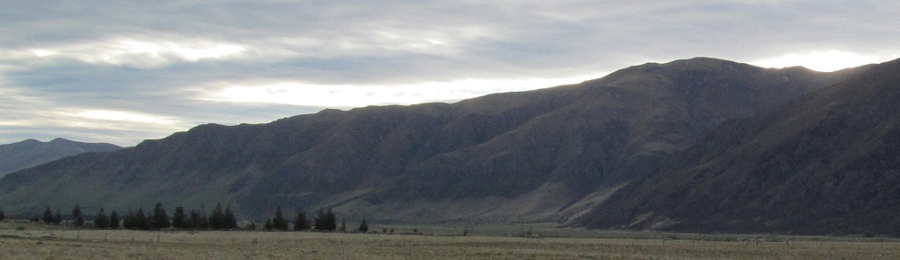
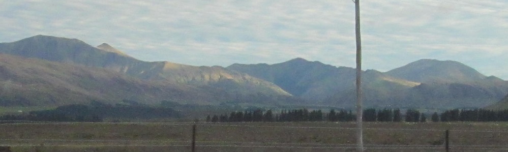
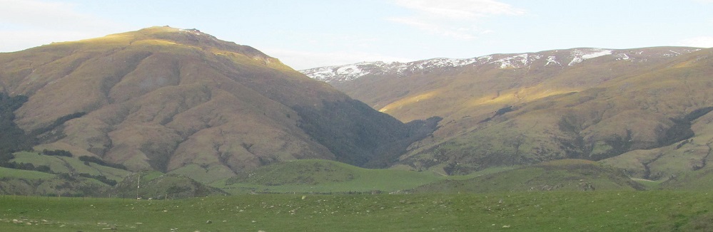
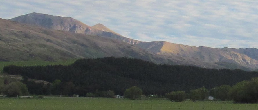
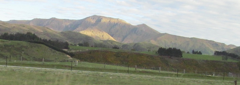
Entering Southland, this panorama is on my right.
With the sun setting to the west, the views to my right are more brightly lit, albeit less impressive overall.
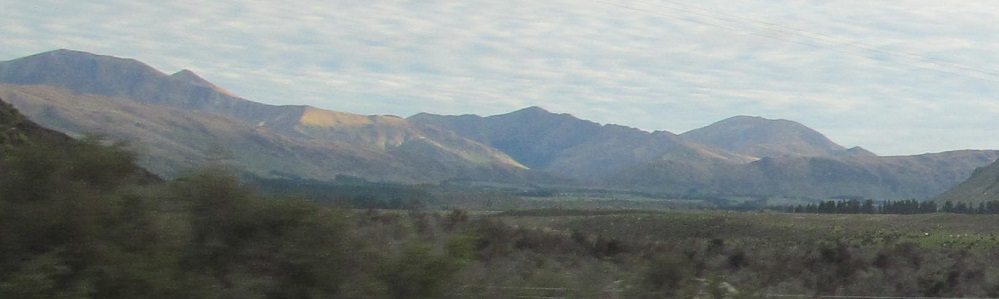
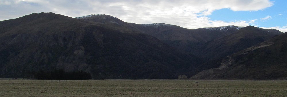
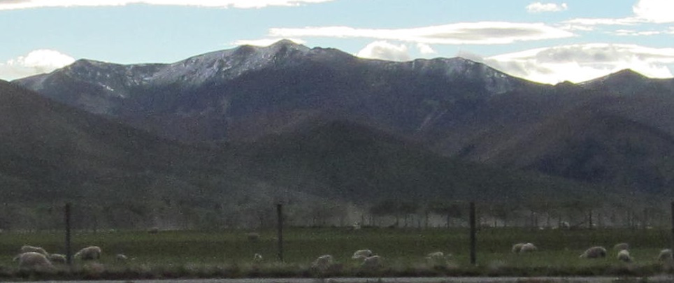
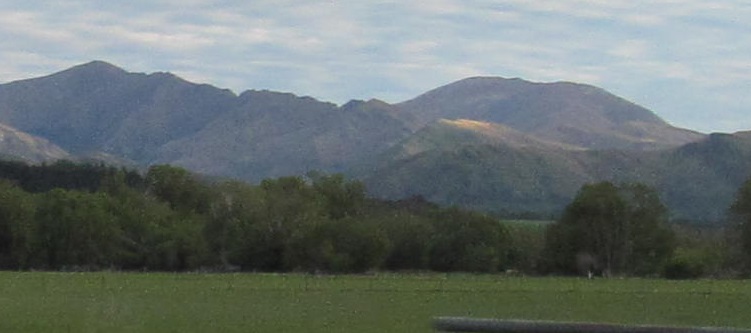
The last four photos form a panorama from right to left.
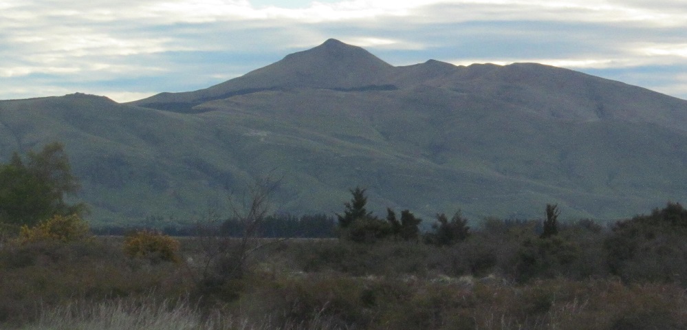
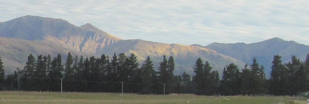
As I get to the end of the ridge that started this page (here split in two photos), Mount Bee buzzes into view.
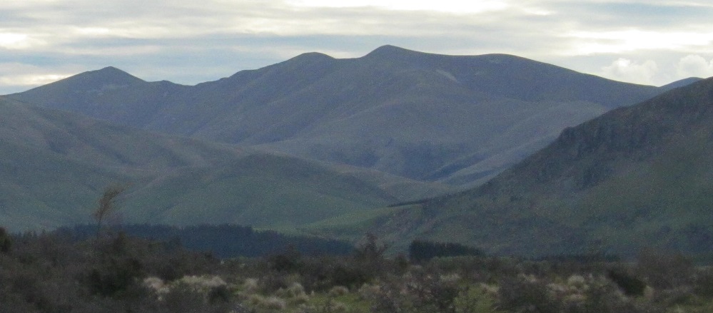
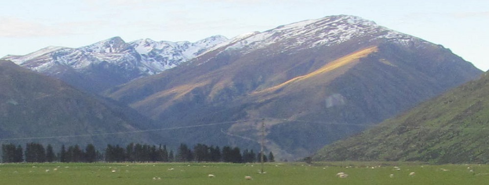
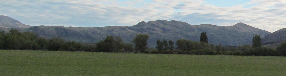
Panning from left to right, I can make out the lower peaks of the Garvie Mountains before another ridge blocks my view.
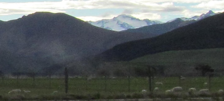
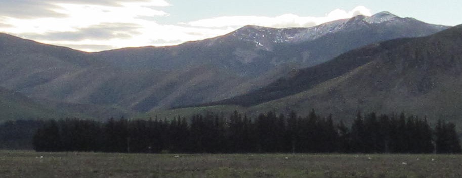
A second view of the lower peaks to the southeast, then looking more due east at the higher peaks of the Garvies (photos left and right).
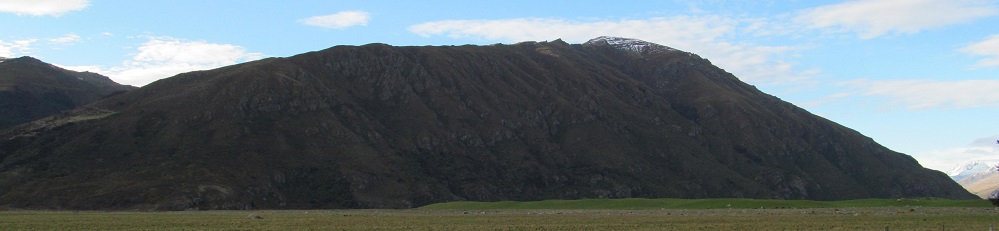
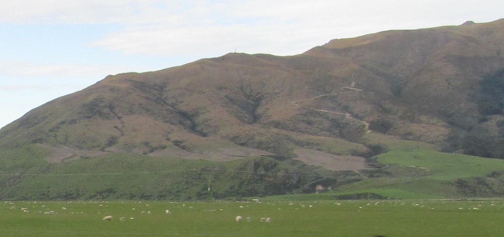
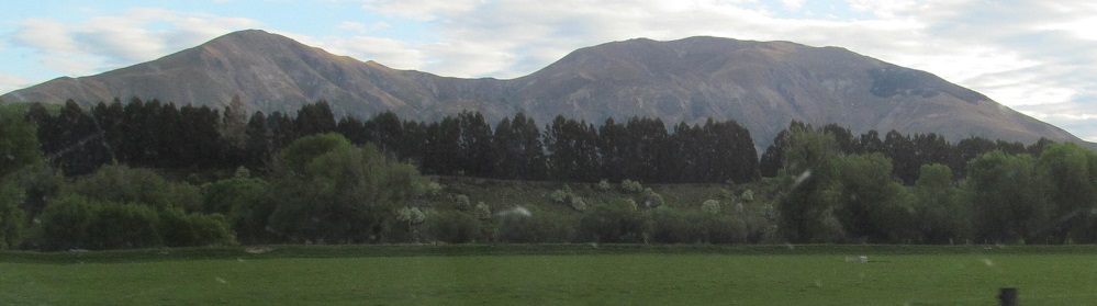
Quick check behind me - Mount Dick is to the north. Let's not stare too long.
Another panorama from right to left. Tennant's Peak is in the background of the second photo, and the Hector Mountains (Ta̅puae-o-Uenuku) are in the 4th. The last photo has me curled around nearly to the north.
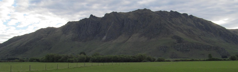
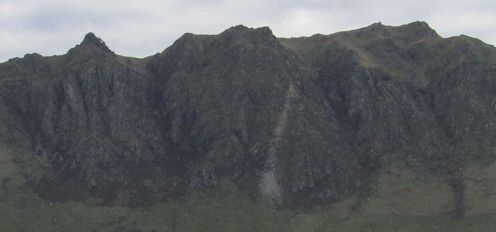
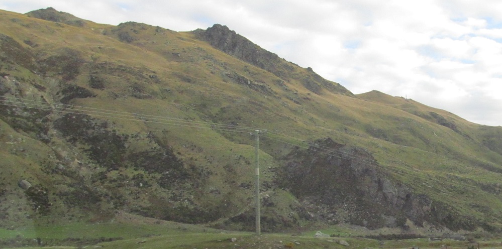
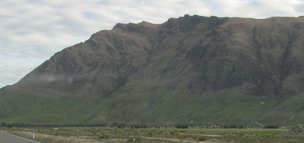
The next panoramic set starts to the southwest and heads to the right (west). The last photo is a closeup of the rock face from the one prior.
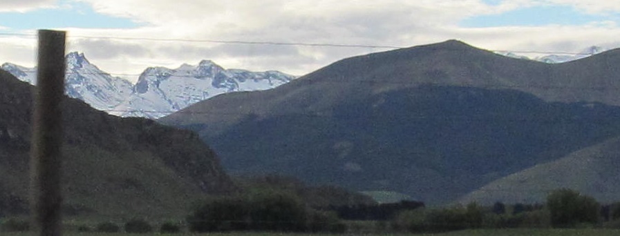
A glimpse of what I believe is Eyre Peak among the Eyre Mountains to the west-northwest.
The road briefly turns west entering Garston, with Castle Hill just to the left of the road. The first photo looks to the right.
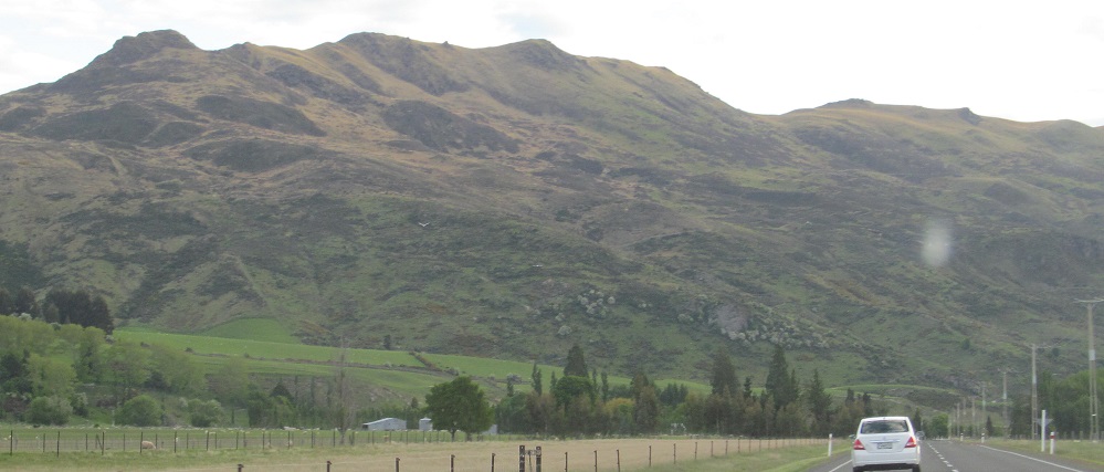
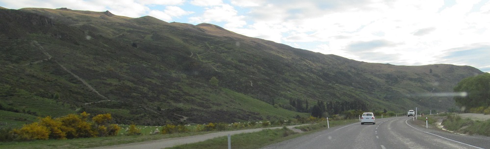
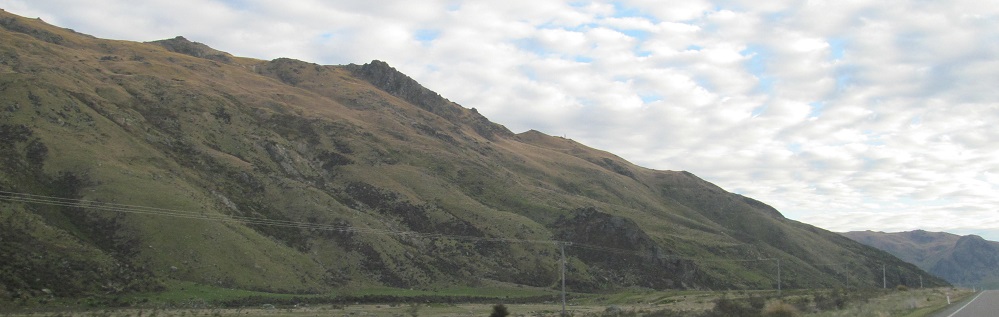
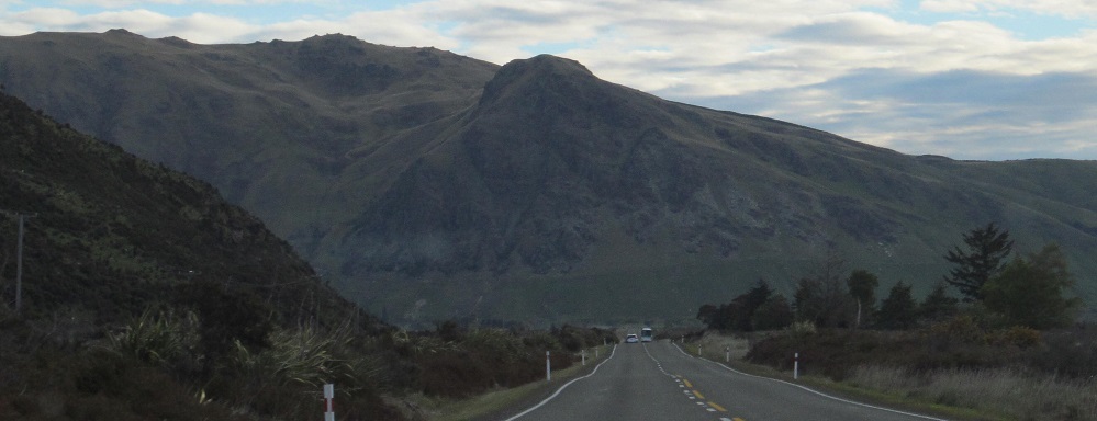
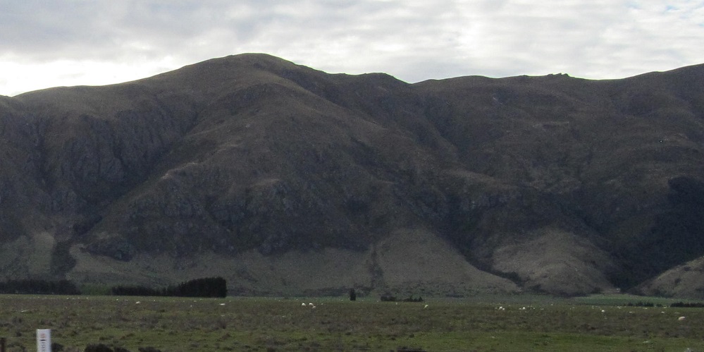
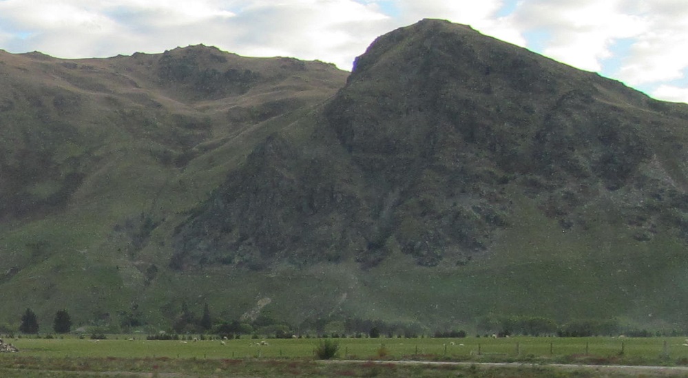
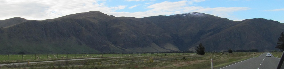
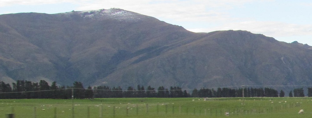
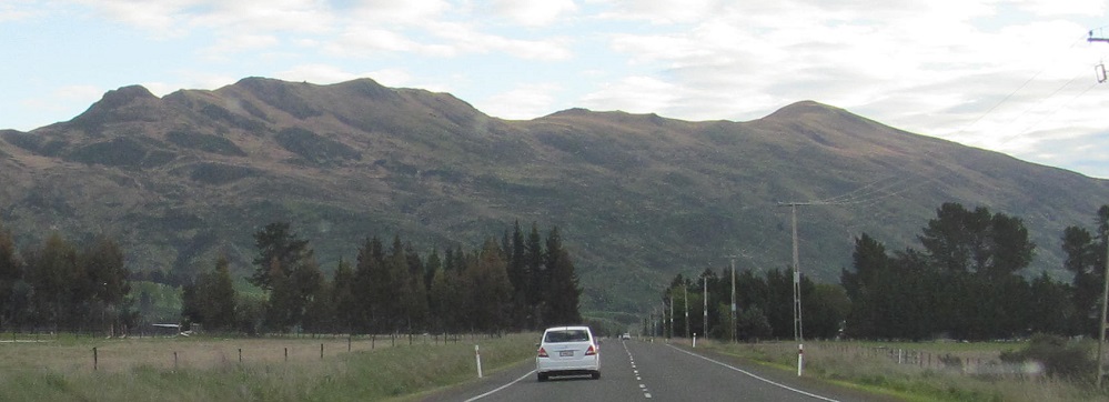
Another view of the Garvie Mountains to my left, then I come to the Slate Range and the highway turns along its base.
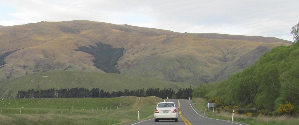
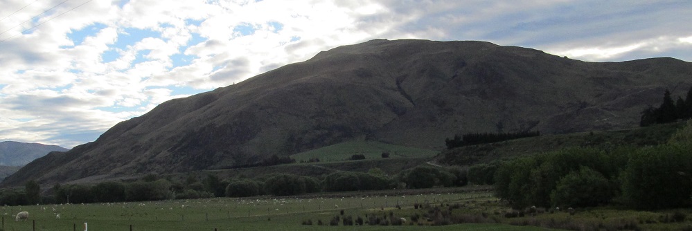
Looking south near Athol, Mid Dome is on the right side of this hill.
Continue south on Highway 6 past Athol
Back north on Highway 6 to Queenstown-Lakes District
Back to Southland District main page
Back to Highway 6 main page
Back to New Zealand Non-Roads
Back to Non-Roads main page