New Zealand - NZ 6 - Queenstown-Lakes Dist. - Jack's Pt.-Lake Hayes
Highway 6, Queenstown-Lakes District -
Jack's Point through Lake Hayes
All photos were taken heading south.
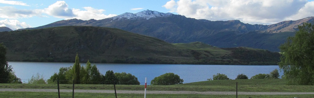
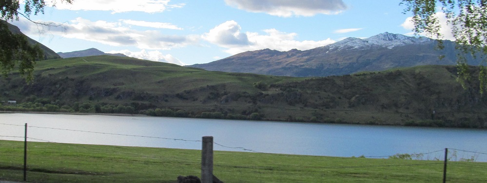
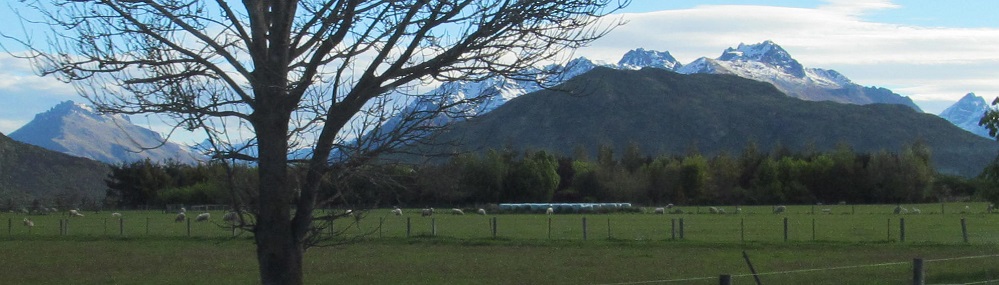
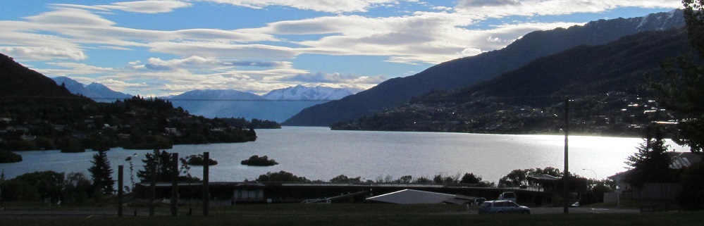
A panorama's worth of Lake Hayes views, starting to the south at Cecil Peak and rotating right through the Eyre Mountains to Coronet Peak in the northwest.
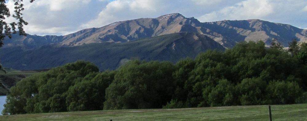
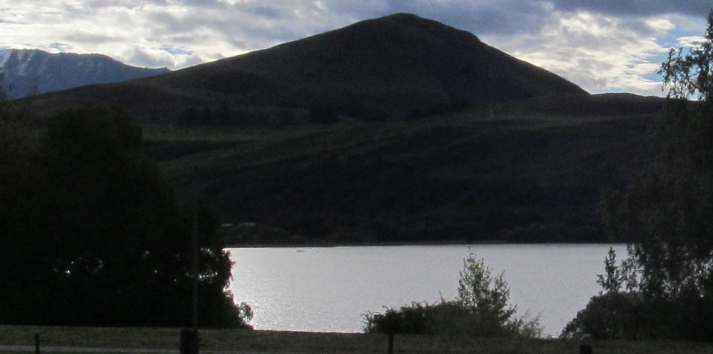
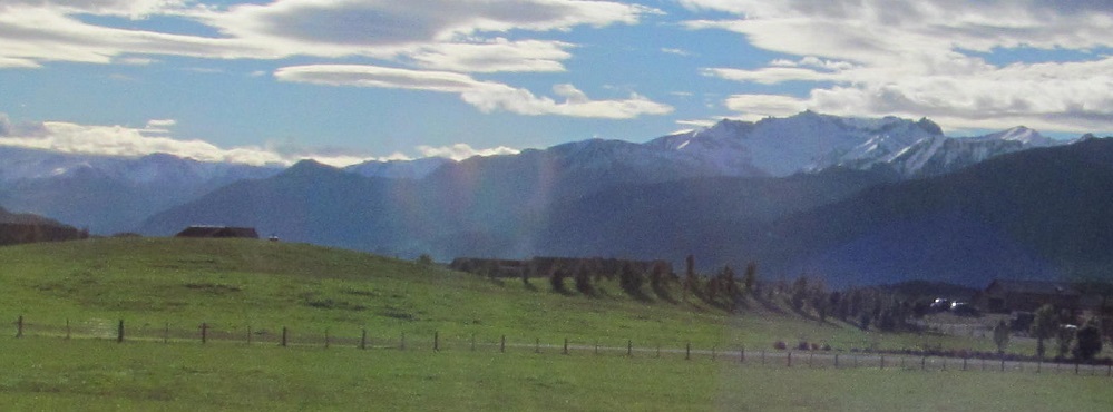
Three photos from left to right, and one more lake photo before I leave Hayes behind.
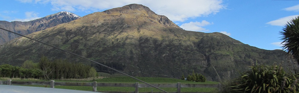
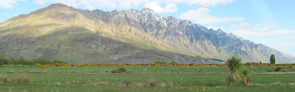
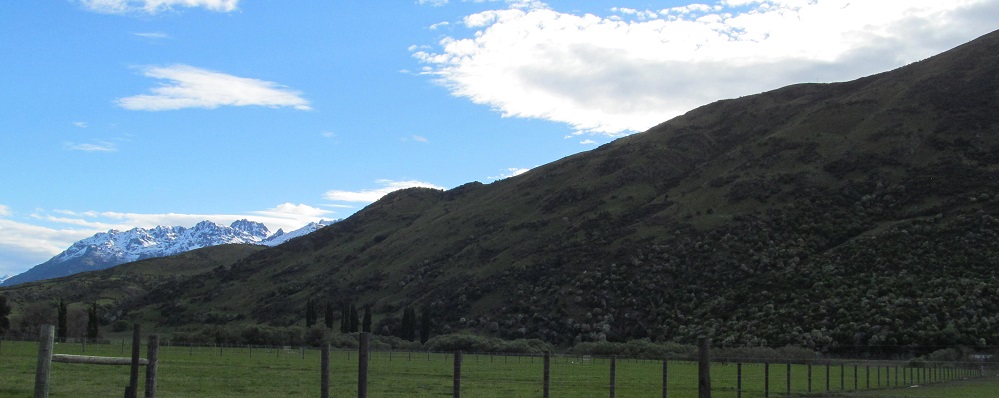
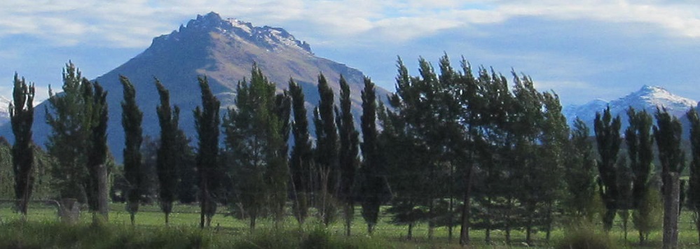
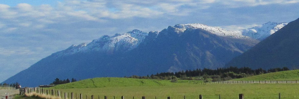
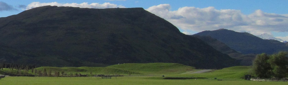
Southerly shots of the base of the Remarkables range (more on those in a bit) frame some other mountains to get acquainted with: Ben Lomond and Bowen Peak to the west in the 2nd photo (Bowen is shorter but closer, so they look about equal) and more of that Cecil Peak to the southwest in the 3rd.
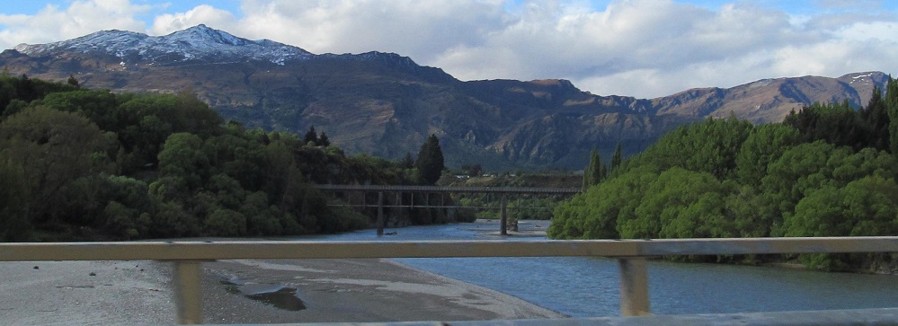
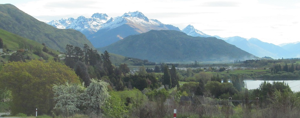
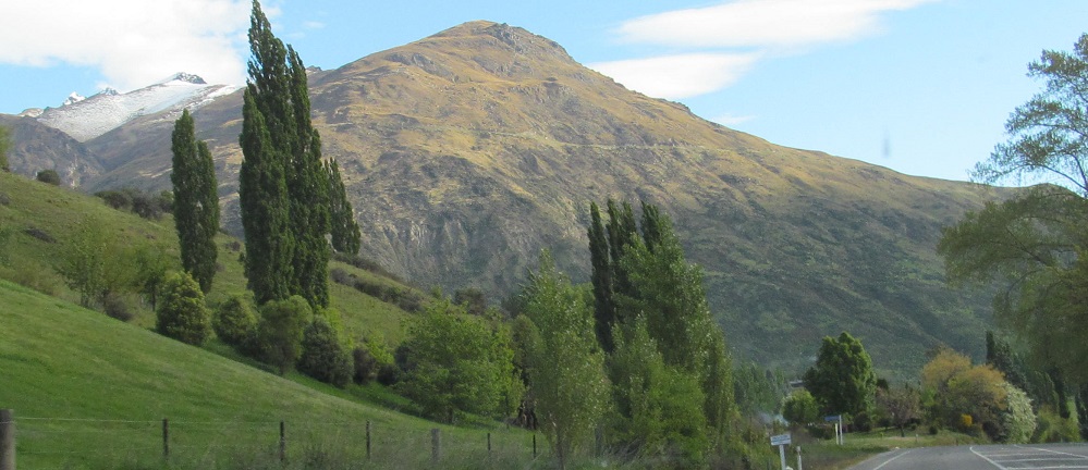
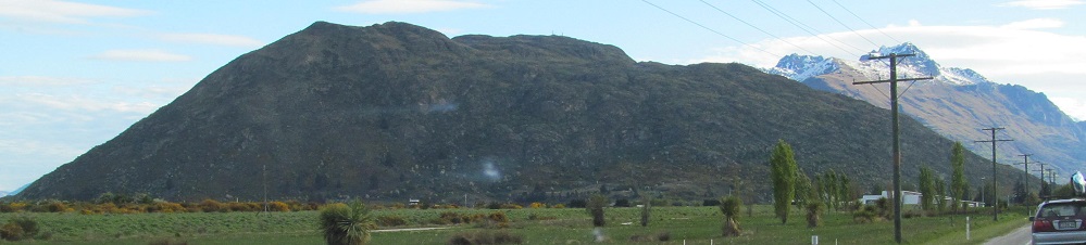
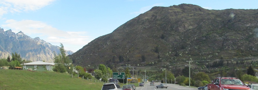
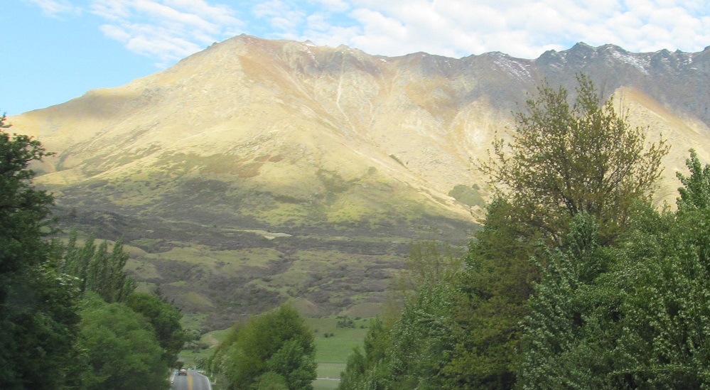
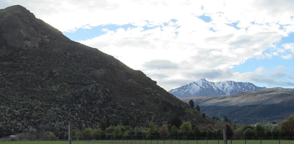
Looking north and south along the Shotover River entering Queenstown. We have Coronet Peak to the north and we're starting to see more of the Remarkables to the south. (Note: they're not as remarkable as their name suggests compared to some other parts of the Southern Alps.)
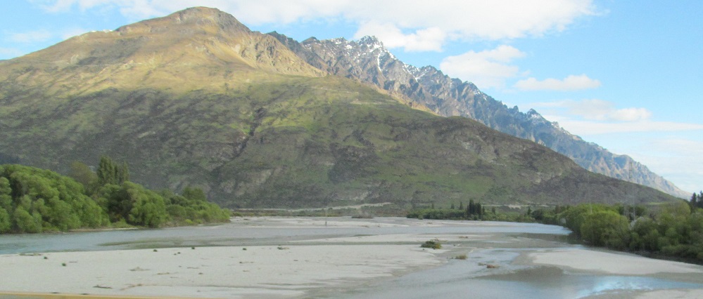
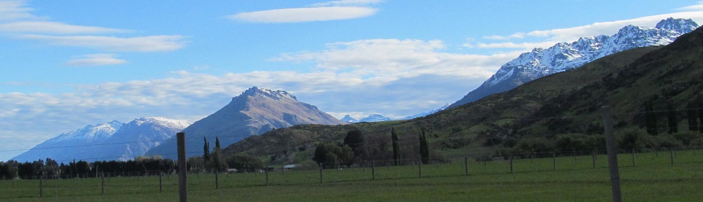
Cecil Peak is ahead on the other side of Lake Wakatipu, but first comes Peninsula Hill on this side of the lake.
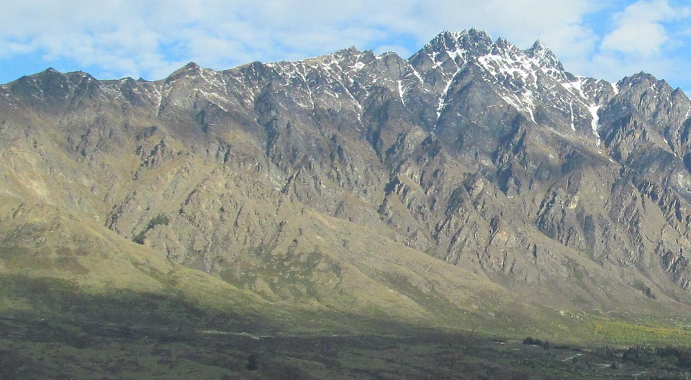
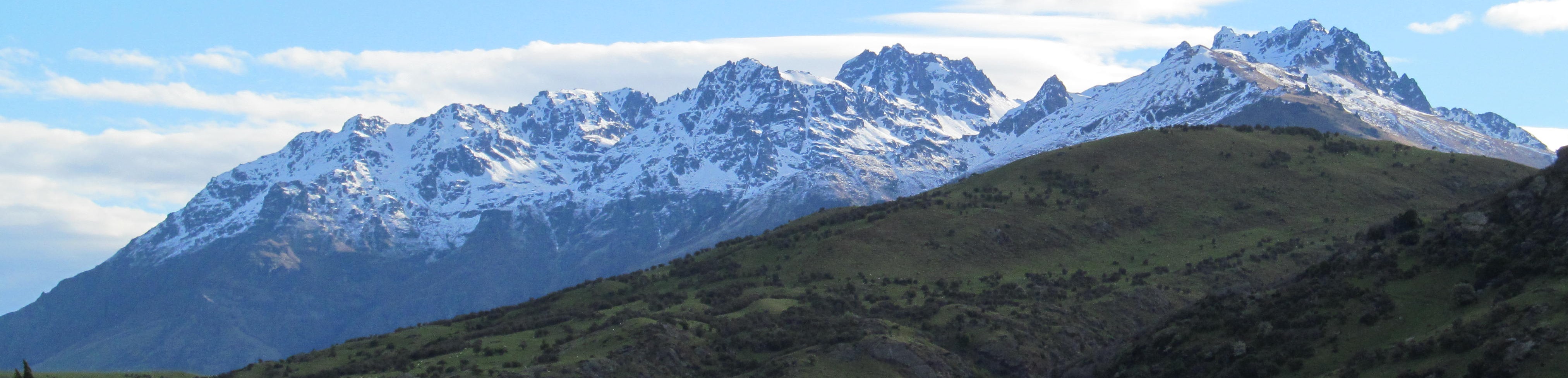
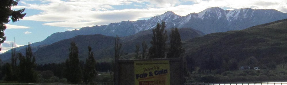
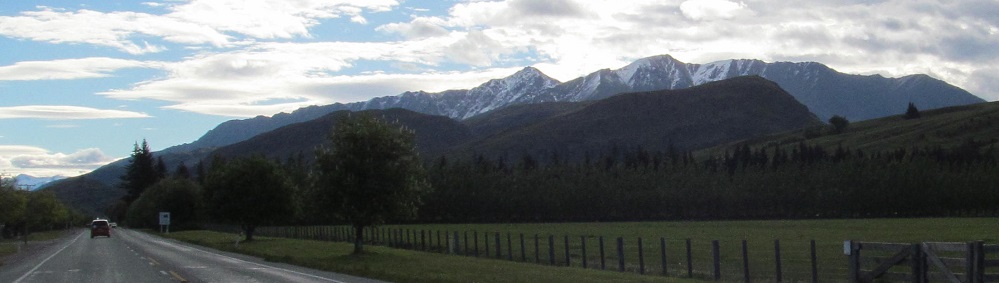
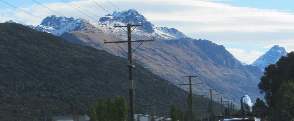
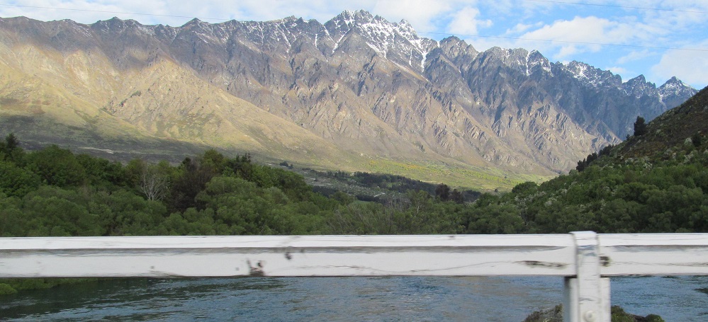
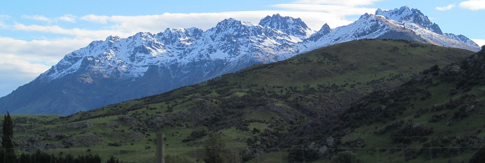
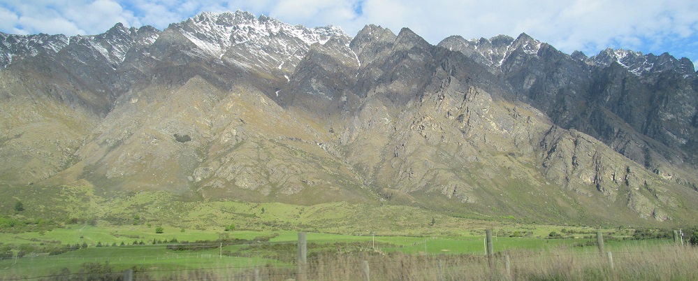
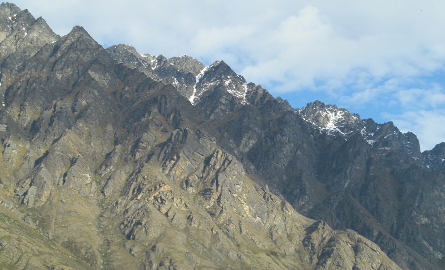
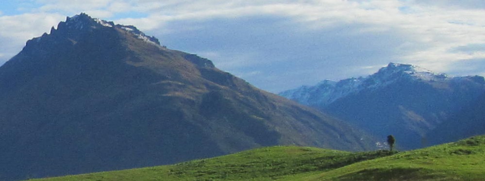
Here's the full Remarkables range, topped by Double Cone (to the right of the 3rd photo).
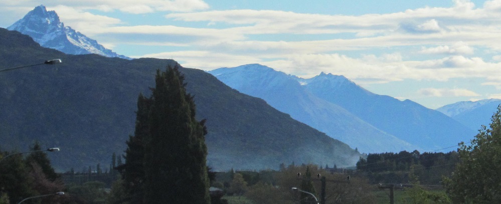
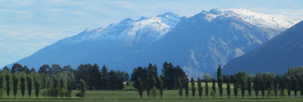
As Highway 6 turns south, I get the briefest of glimpses across the Frankton Arm of Lake Wakatipu. Between Cecil Peak (1st photo far left) and Ben Lomond (2nd photo right) there's Walter Peak, Afton Peak, Mt. Nicholas, and the Thomson Mountains. This is about all you can see of those four from Highway 6.
Approaching Peninsula Hill at the old Kawarau River bridge. It has since been replaced and is now a walking trail.
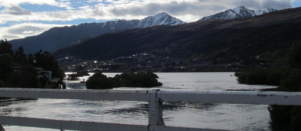
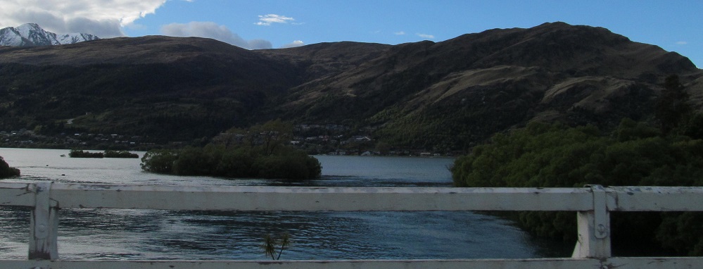
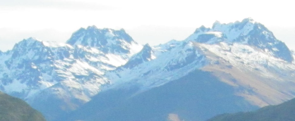
Two shots to the west along Frankton Arm frame two shots to the east of Double Cone and the Remarkables.
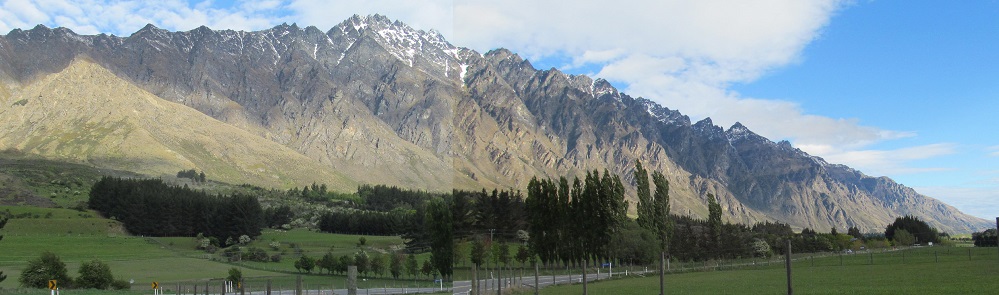
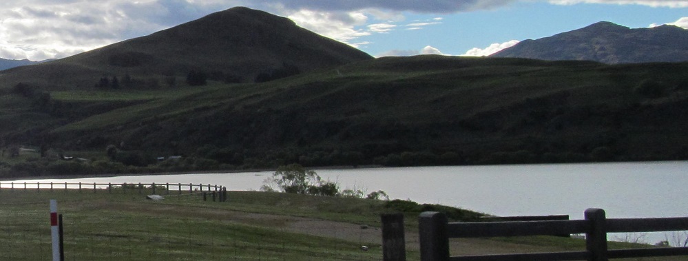
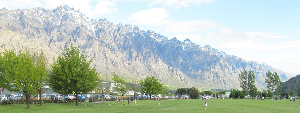
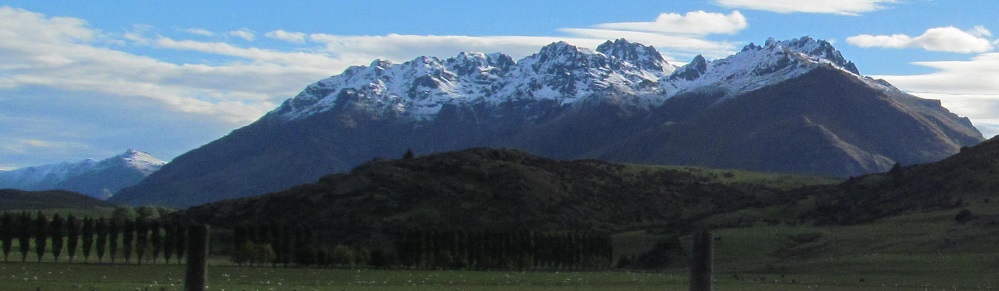
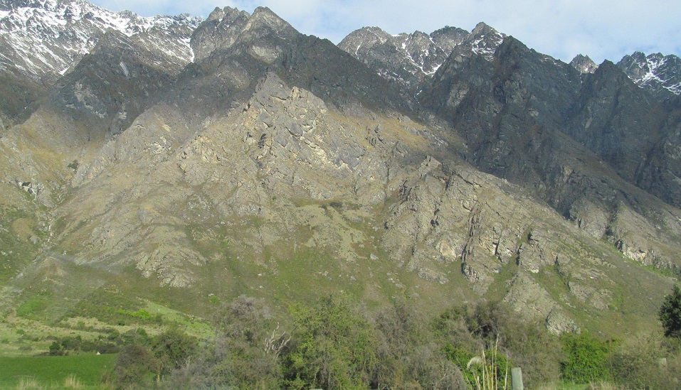
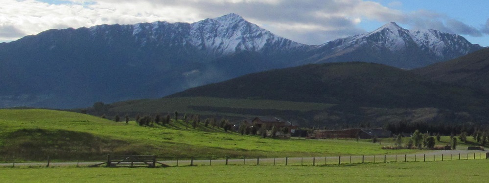
Remarkables right, foothills left, then I come to the money shot.
Panning from ahead to right, we have Mt. Dick, Bayonet Peaks, and Cecil Peak in the first photo, then a whole bunch of Peninsula Hill, and finally Ben Lomond (now looking taller) and Bowen Peak. Bayonet Peaks may not look like multiple peaks, but this is not the most flattering angle.
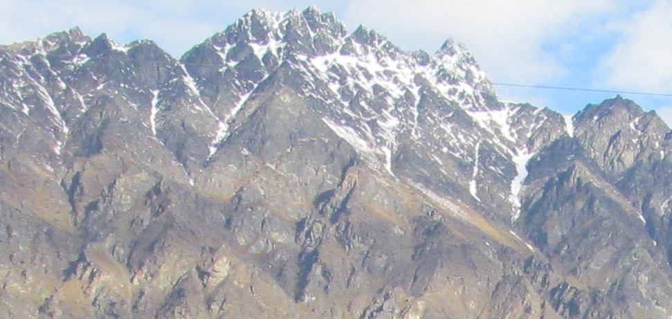
My camera focused directly on Cecil Peak, so click for a very detailed closeup.
Clearer photos of Mount Dick and Cecil Peak.
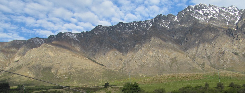
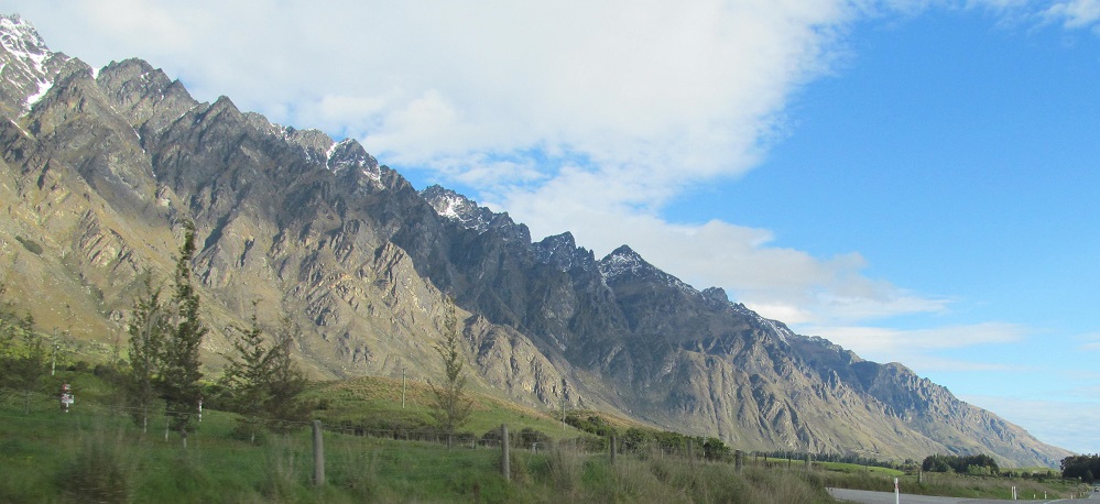
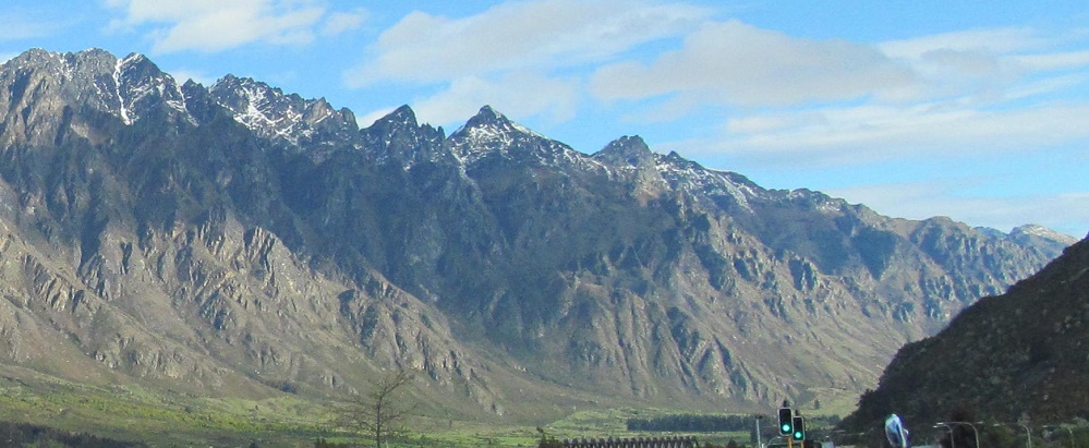
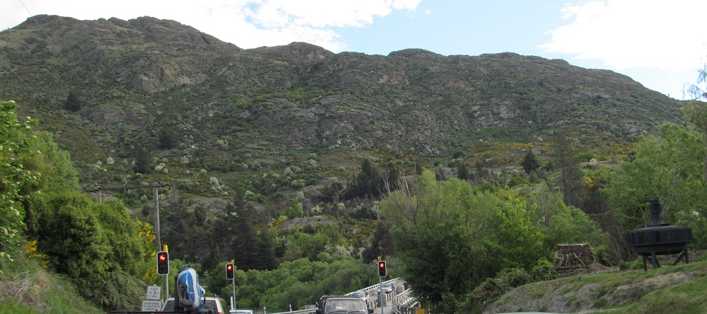
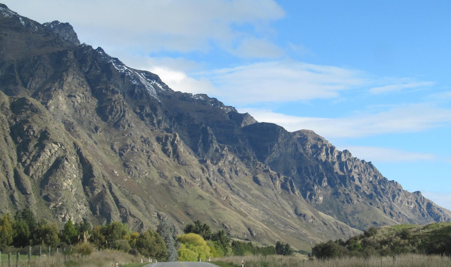
Running along the Remarkables.
To the right of Bayonet Peaks, I can see the Rough Peaks. Yes, only one of them again.
Had enough of the Remarkables? Me neither, but that's it for this page.

Another view of Bayonet and Rough Peaks(es).
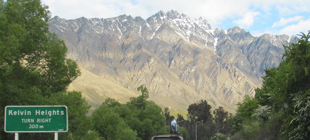
A panorama of everything to my west approaching the settlement of Jack's Point.
Continue south on Highway 6 along Lake Wakatipu
Back north on Highway 6 past Lake Hayes
Back to Queenstown-Lakes District main page
Back to Highway 6 main page
Back to New Zealand Non-Roads
Back to Non-Roads main page