New Zealand - NZ 6 - Queenstown-Lakes Dist. - N. of Lake Wanaka
Highway 6, Queenstown-Lakes District -
North of Lake Wanaka
All photos were taken heading south.
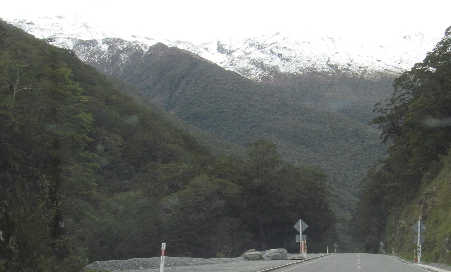
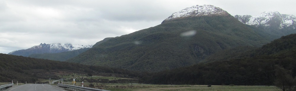
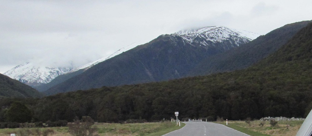
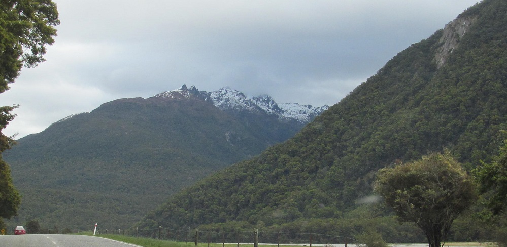
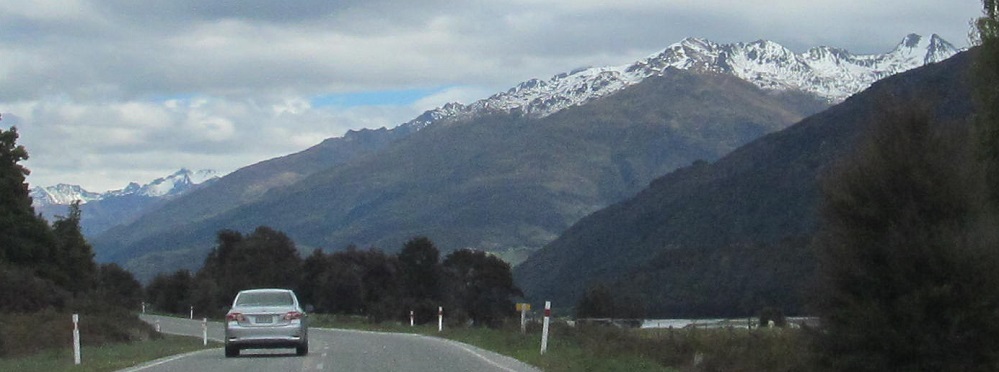
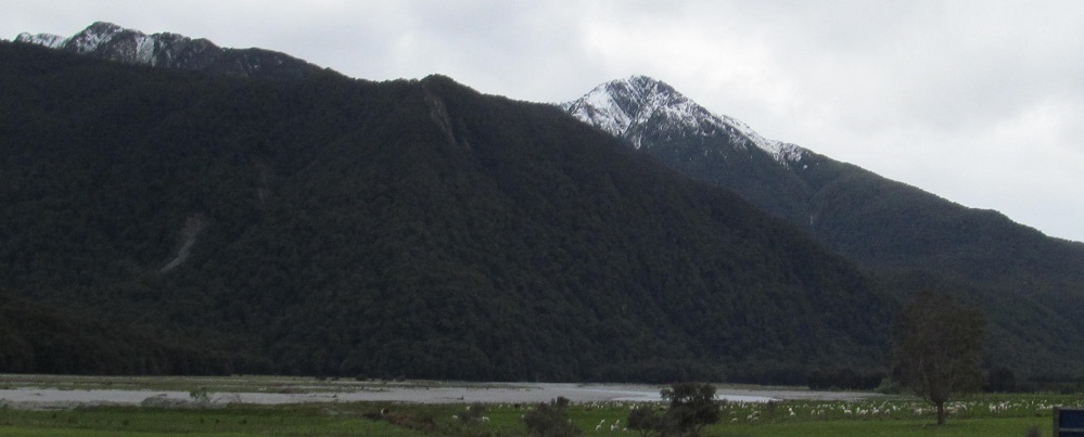
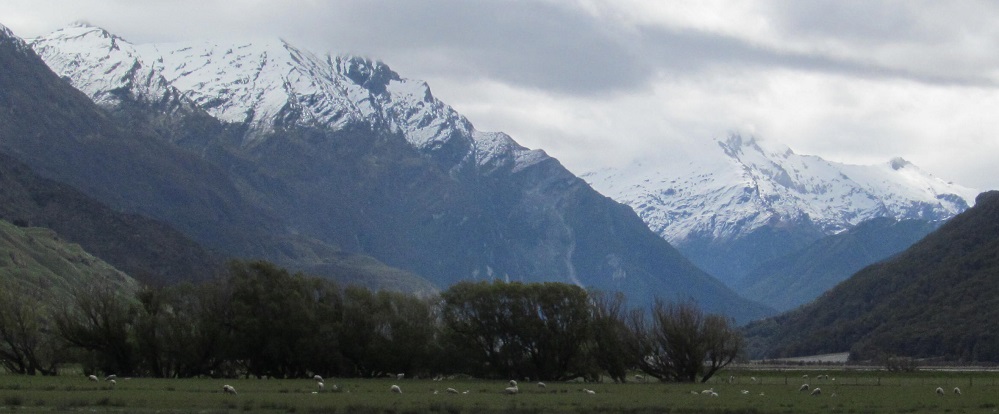
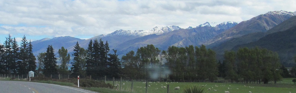
Coming down from Haast Pass/Tioripatea, then a look back along the Makarora River, which will keep us company throughout this page.


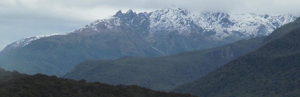
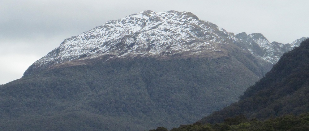
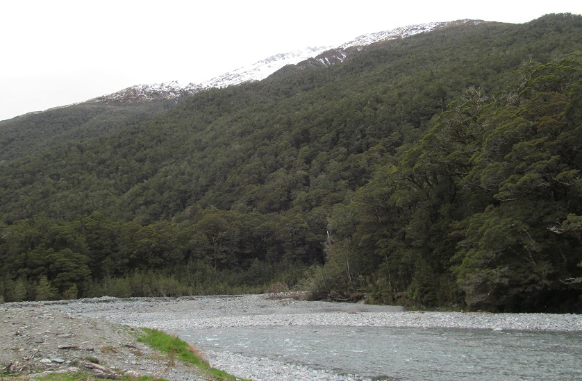
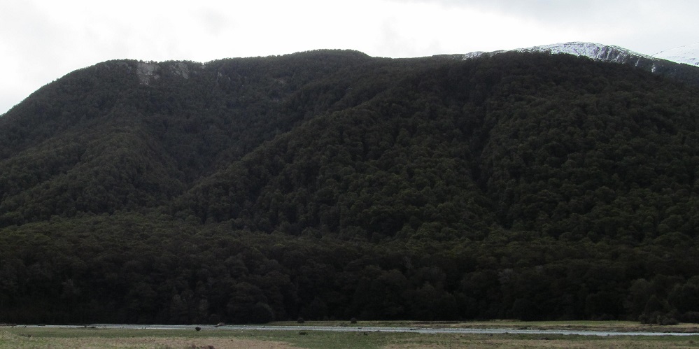
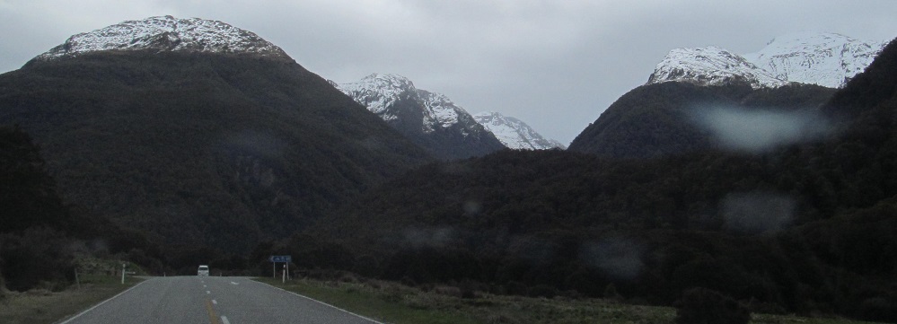
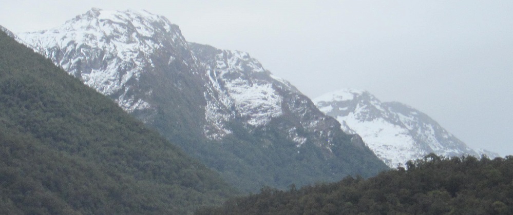
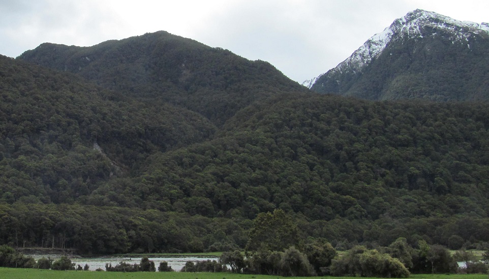
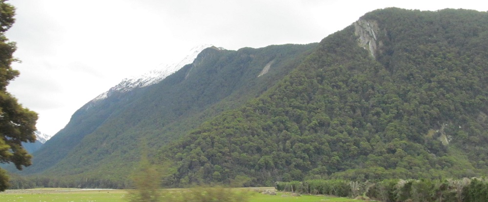
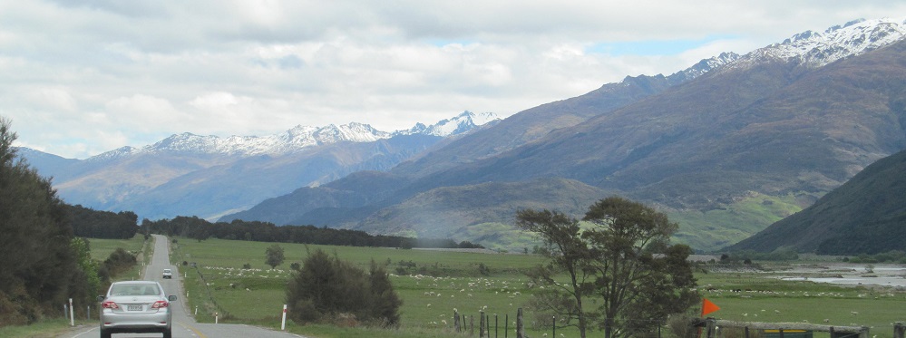
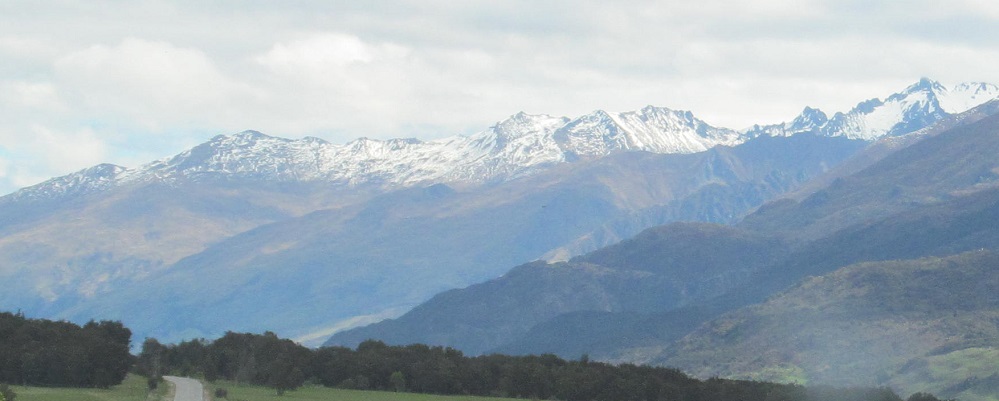
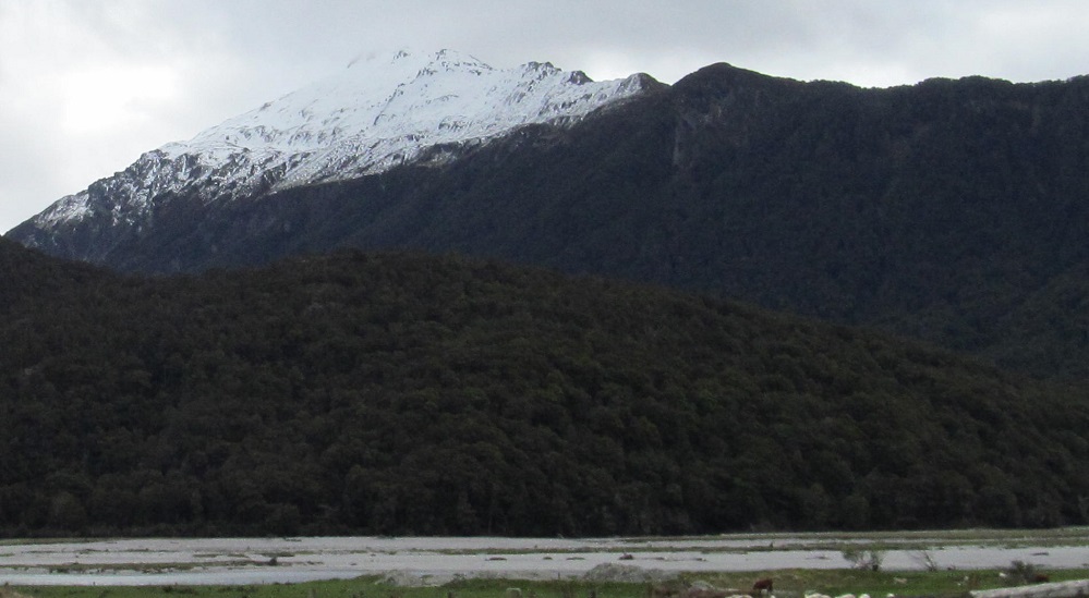
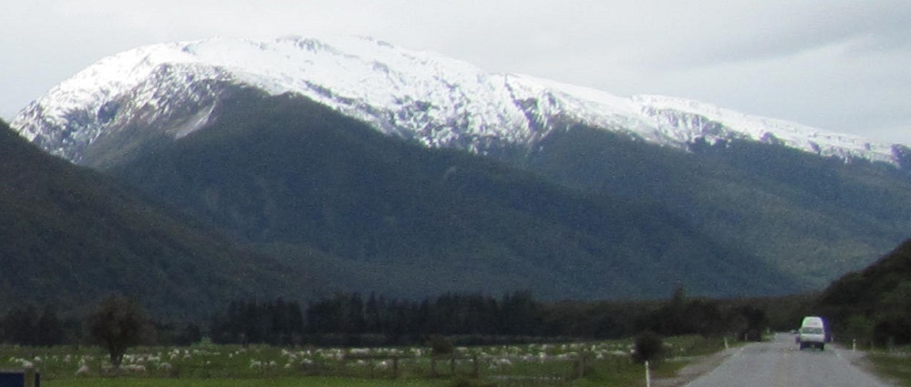
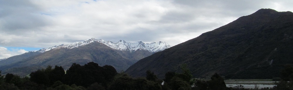
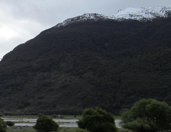
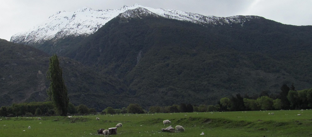
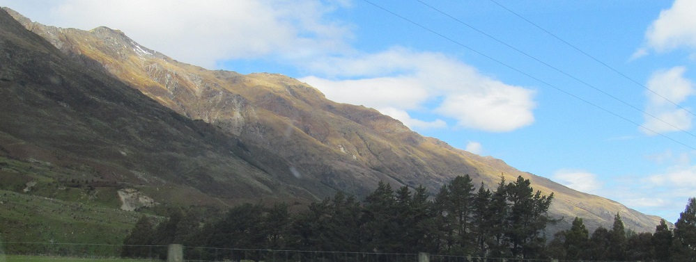
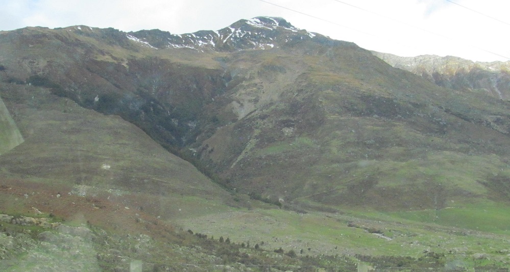
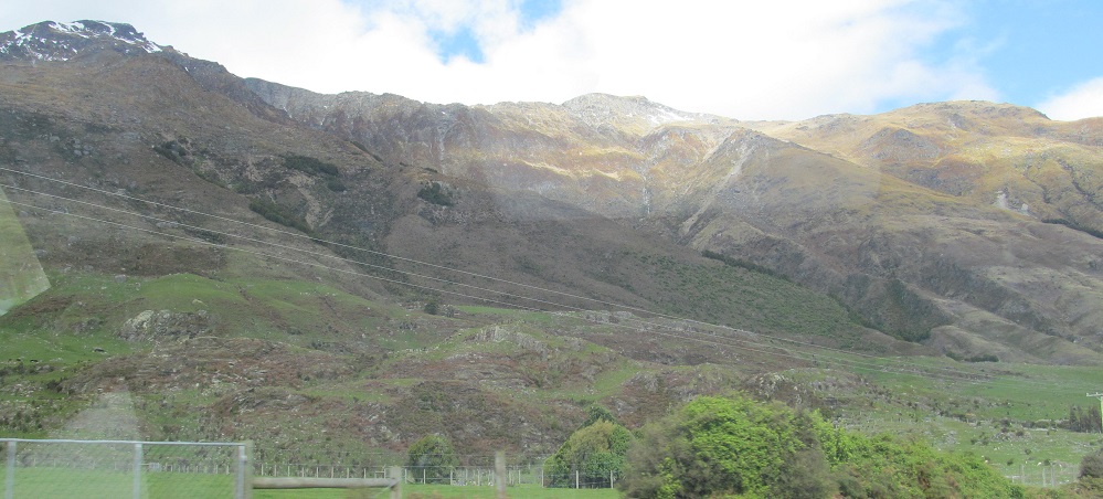
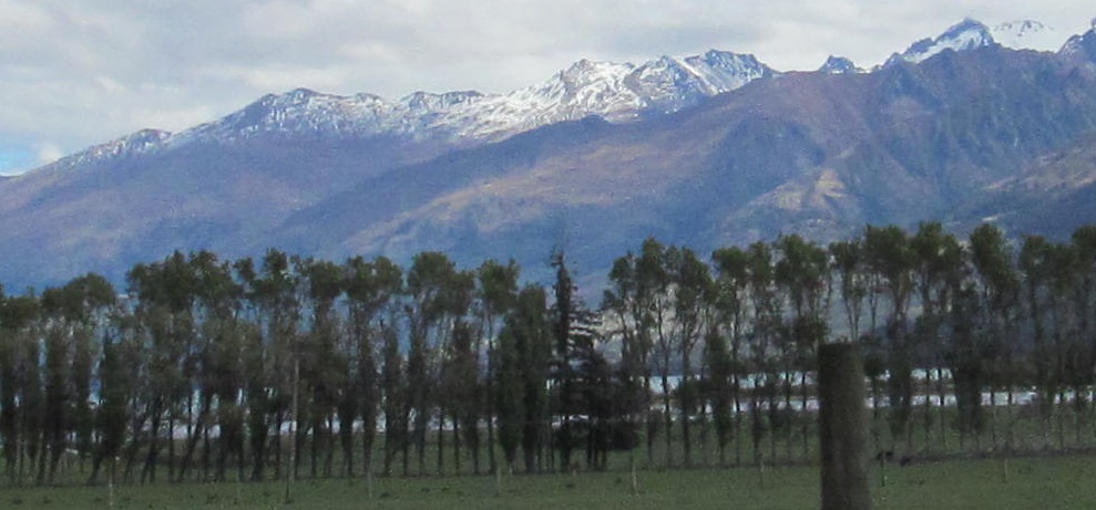
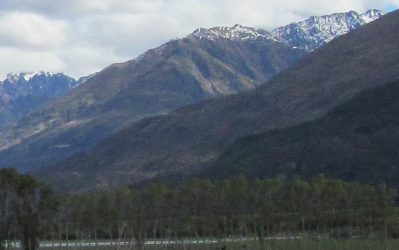
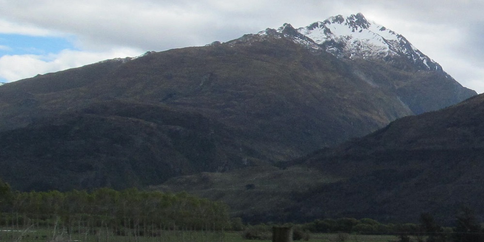
Though not all taken at the same point, these photos manage to form a panorama from left (south-southeast) to right (west). Starting off, the Young Range is on my left, and then some impressive mountains follow the west side of the Makarora. The only one I have a name for is Mount Birnam, the middle mountain in the 3rd photo and shown close-up in the 5th.
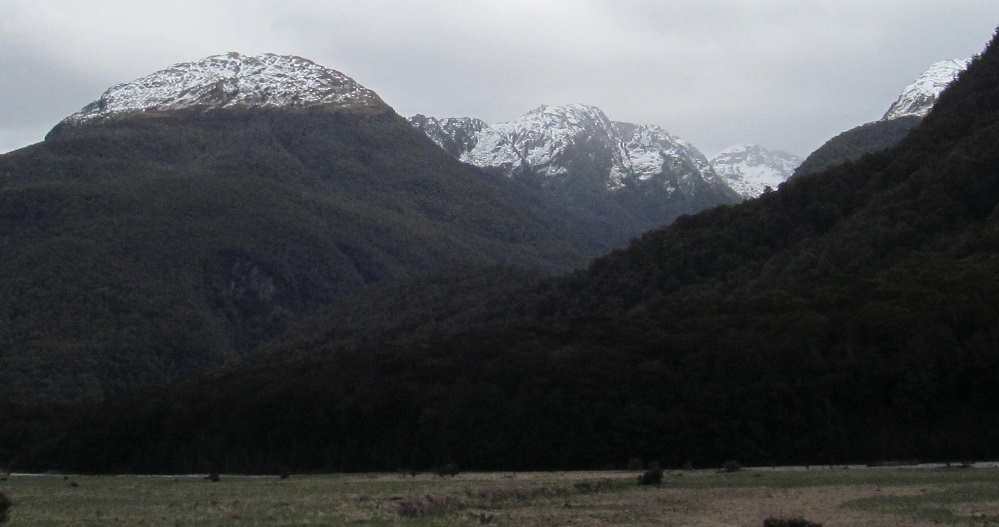
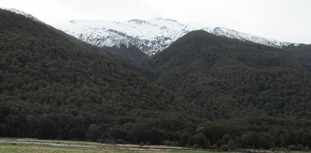
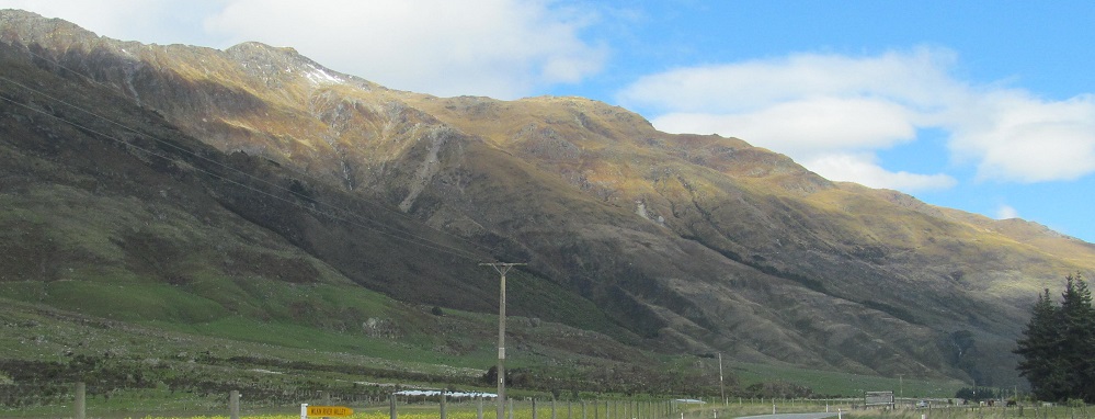
The last three photos pan from left-right to the west. As I come to Mt. Birnam, the series of peaks it headlines that ring the source of the Blue River South Branch comes into better view (3rd photo).
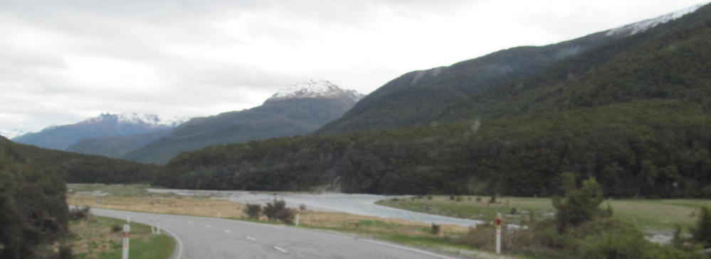
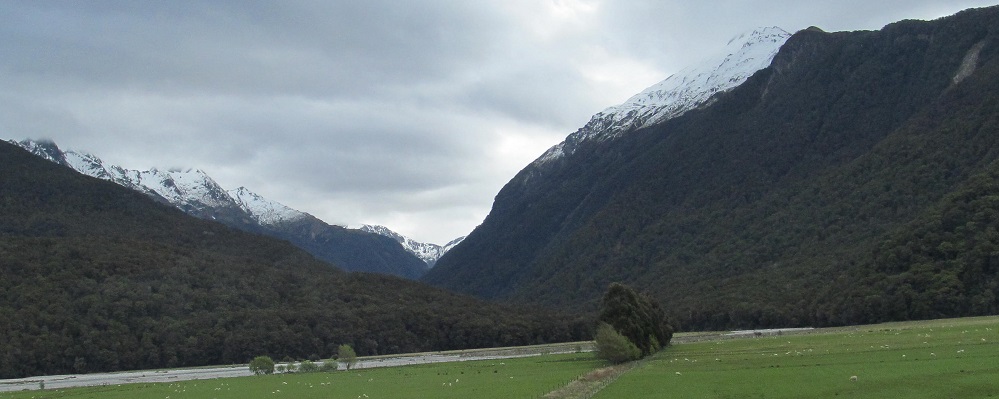
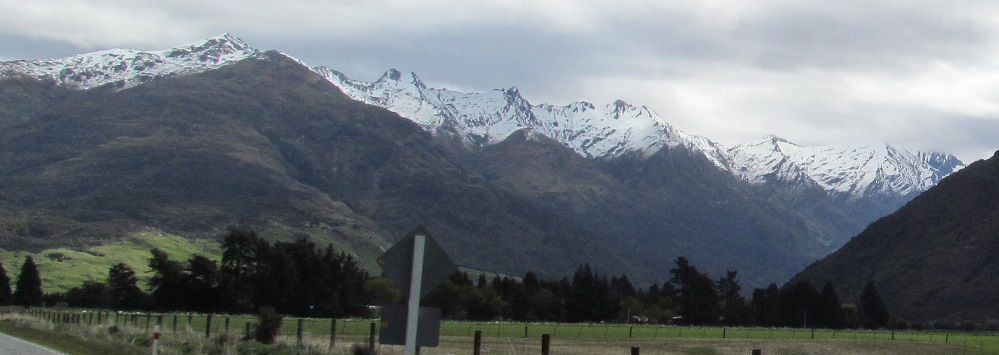
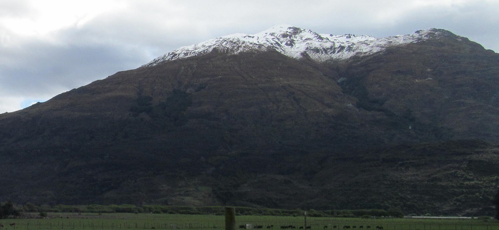
Taking my first look behind me, I see Mt. Kaye in the foreground and Mt. Armstrong behind it to the left. They are east and just beyond Haast Pass/Tioripatea.
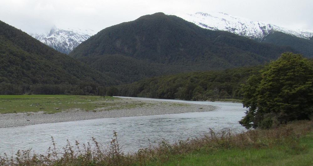
Can't go too far without looking behind me, this time along the river. Mt. Kaye is to the left, representing the main spine of the Southern Alps (Ka̅ Tiritiri o te Moana), while the Young Range is to the right.
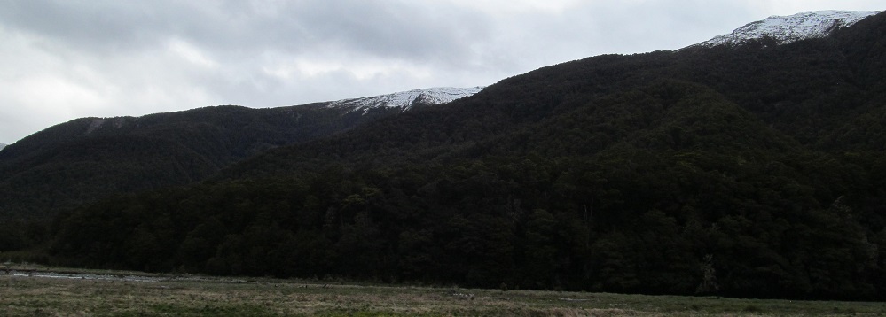
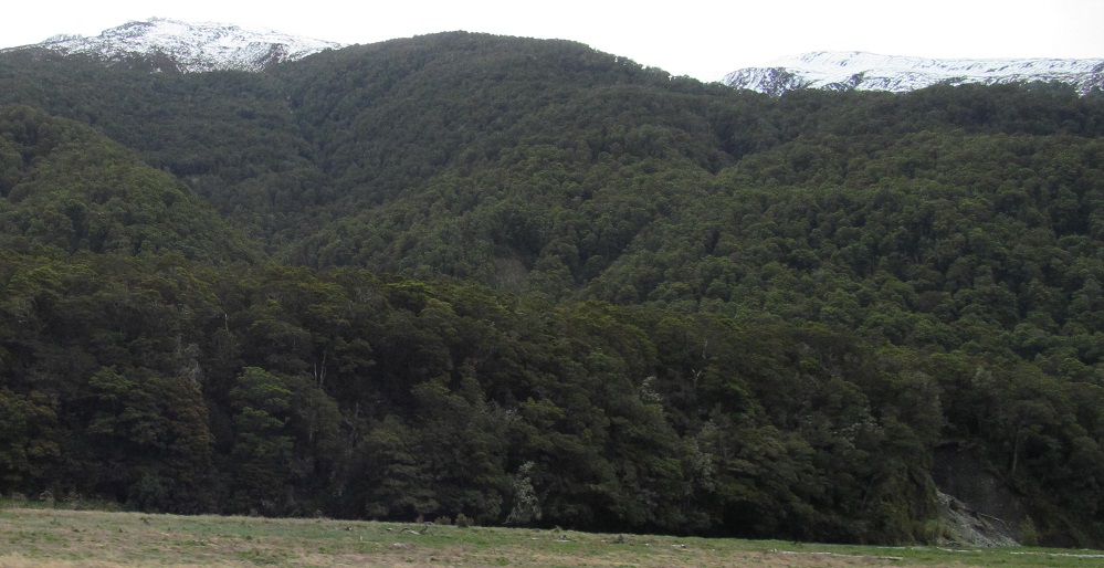
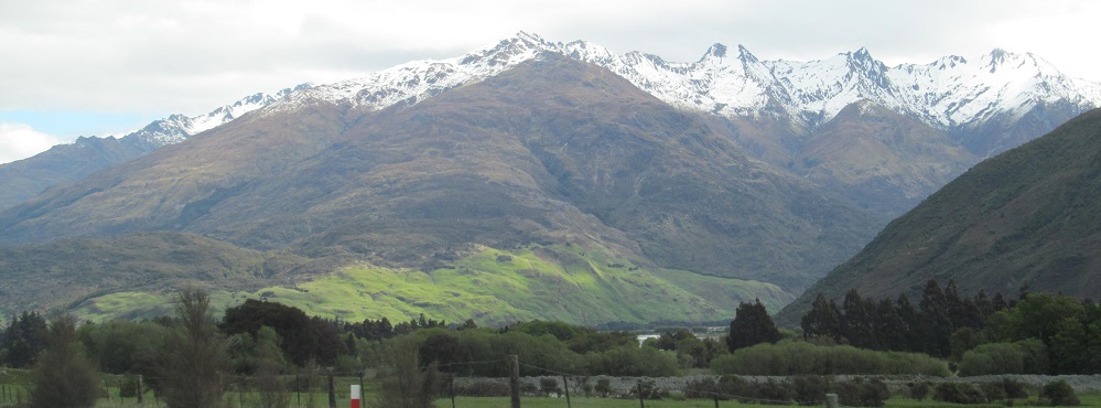
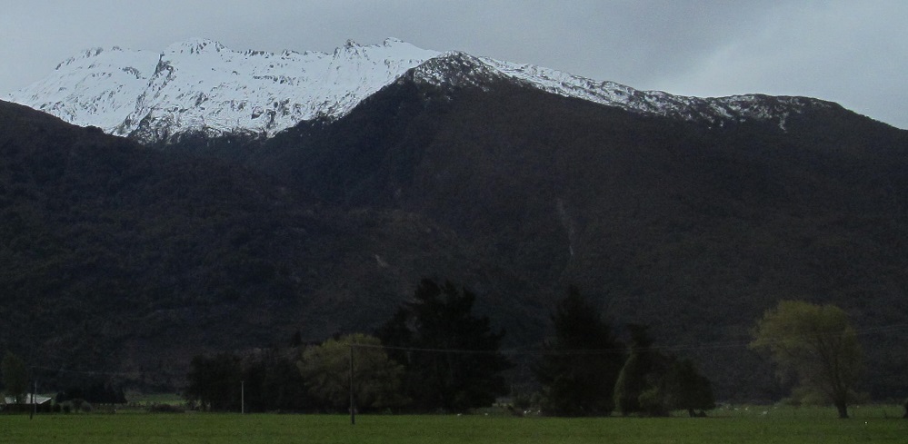
All photos are to the west (my right). The last one is the Young River valley, unrelated to the Young Range for some reason. I don't have names for all of these mountains despite using official New Zealand topographical mapping.
The last three photos look progressively more to my right until they're behind me.


After the first photo, the remaining ones form another panorama from left to behind-right.
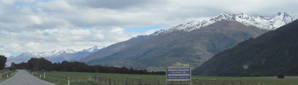
Unnamed mountain to my direct right, but a nice view of Mt. Gilbert and the Turret Peaks at 1:00.
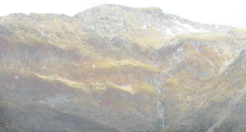
Eventually I found a photo I liked so much, I wanted to share a full-size version with you. Click on the second photo for a closeup. Though unnamed, this mountain heralds the entrance to Wilkin Valley (3rd photo).
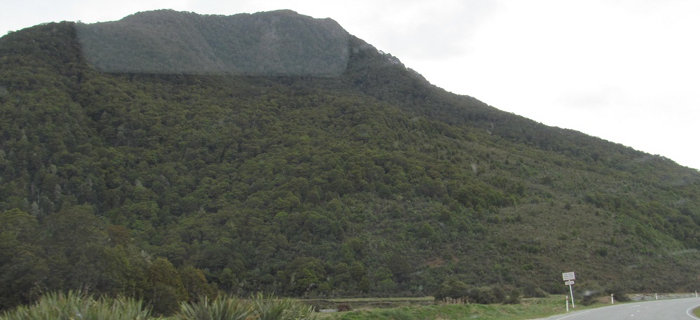
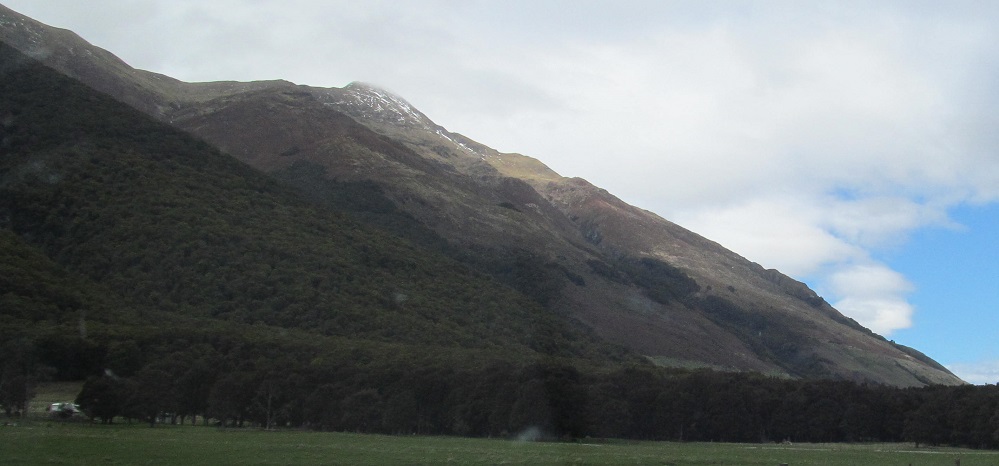
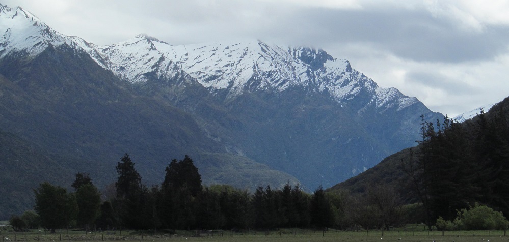
There's scenery to the east as well, but it's not as stunning. This is the tail end of the McKerrow Range, featuring Mt. White (possibly the 3rd photo, which is left of the 2nd photo) as its highest remaining point.

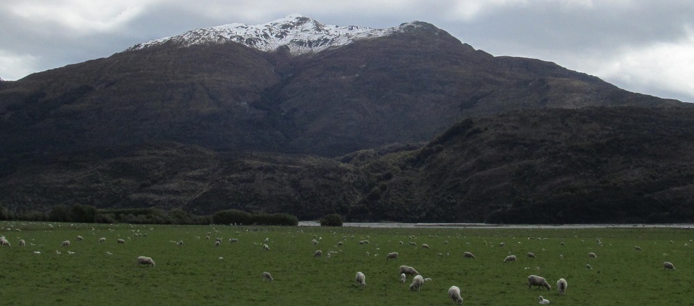
These, I have names for. Mt. Gilbert is to the right as I get past the Wilkin Valley, and Mt. Albert is behind it at the head of Lake Wanaka.
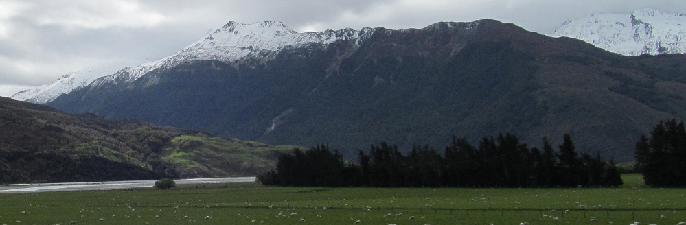
The last 4 photos panoram (new verb) from south-southwest to west, past Mt. Albert and Mt. Gilbert once more. Continue to Lake Wanaka via the big link below and you'll see them all in a new light.
Continue south on Highway 6 to Lake Wanaka
Back north on Highway 6 to Westland District
Back to Queenstown-Lakes District main page
Back to Highway 6 main page
Back to New Zealand Non-Roads
Back to Non-Roads main page