New Zealand - NZ 6 - Central Otago District
Highway 6, Central Otago District
After visiting Lakes Wanaka and Ha̅wea, Highway 6 heads toward Cromwell before returning to Lake Wakatipu instead of taking the more direct route along the Cardrona River. This puts it squarely in Central Otago for 58 kilometres, which you will see on this page, instead of barely skimming it along Crown Range Road. All photos were taken heading south.
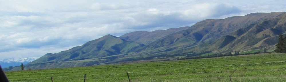
Grandview Ridge is on my left. The border here is not really defined by geography.
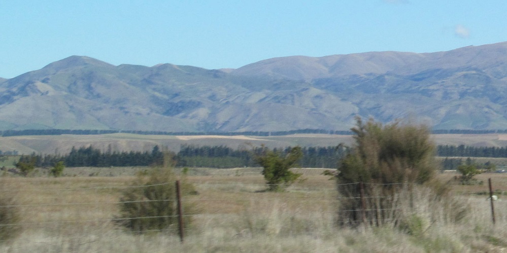
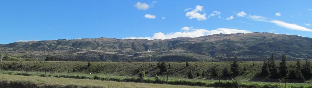
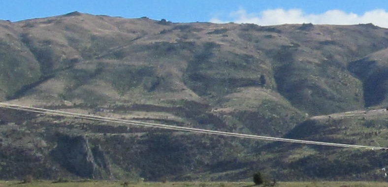
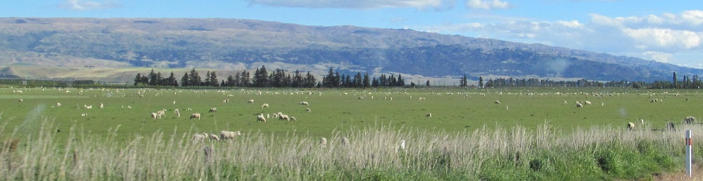
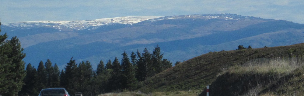
A panorama of the Dunstan Mountains in the distance to the east.
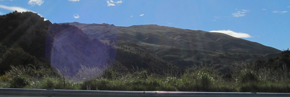
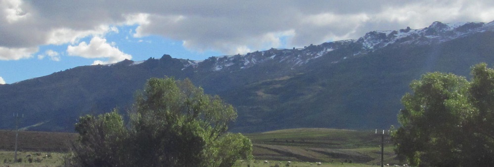
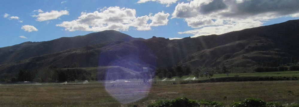
Looking right (southwest), into the sun.
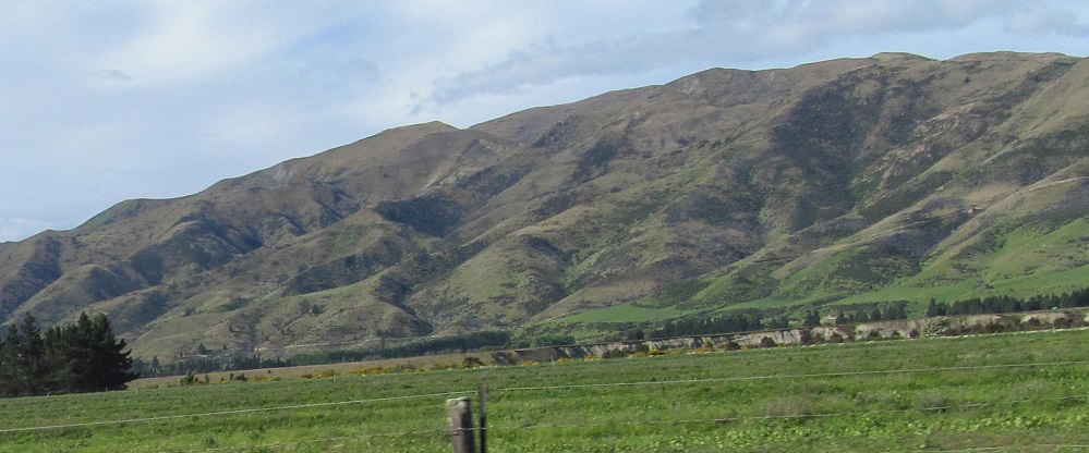
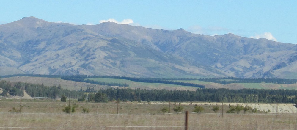
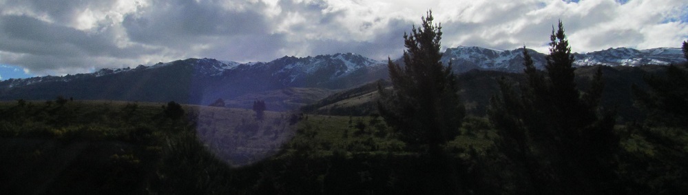
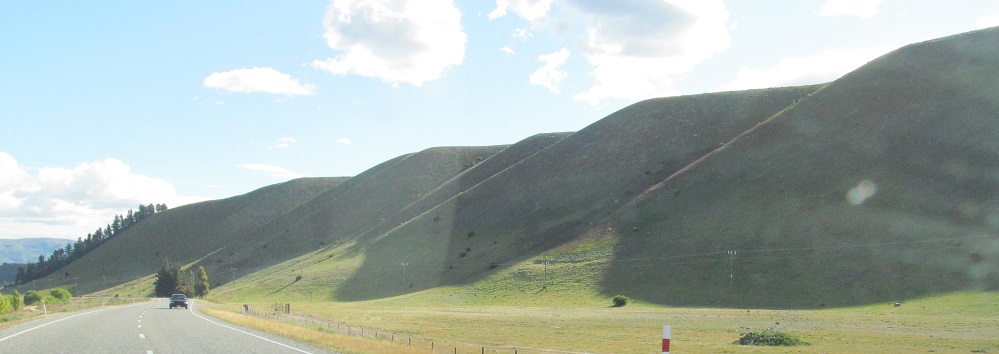
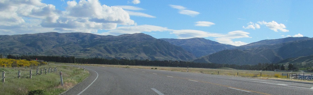
Grander views of Grandview Ridge, left to right.
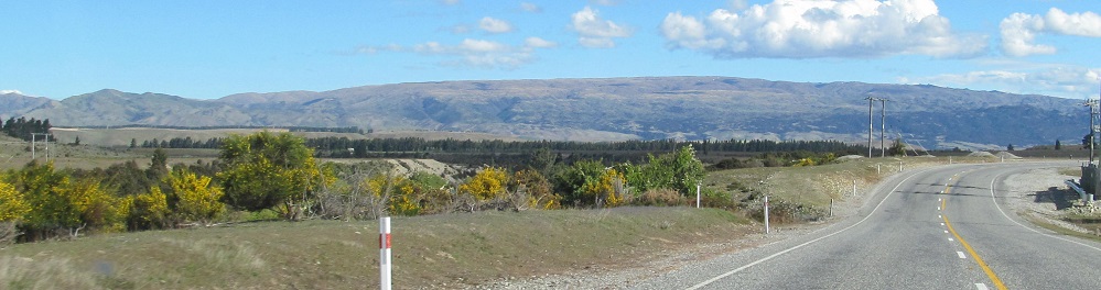
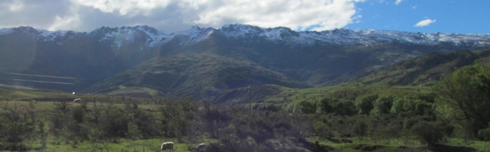
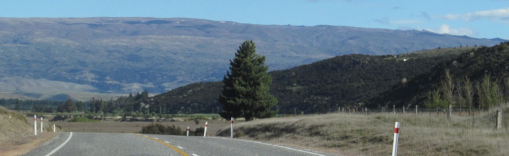
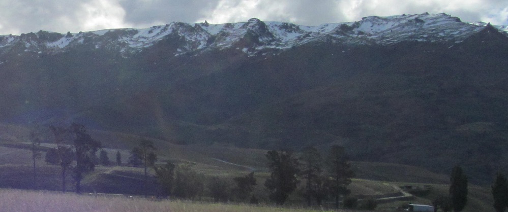
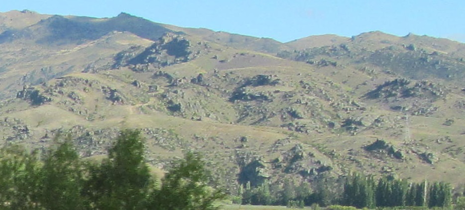
After curving away from the sheep, I come alongside the Pisa Range on the west, topped by Mount Pisa.
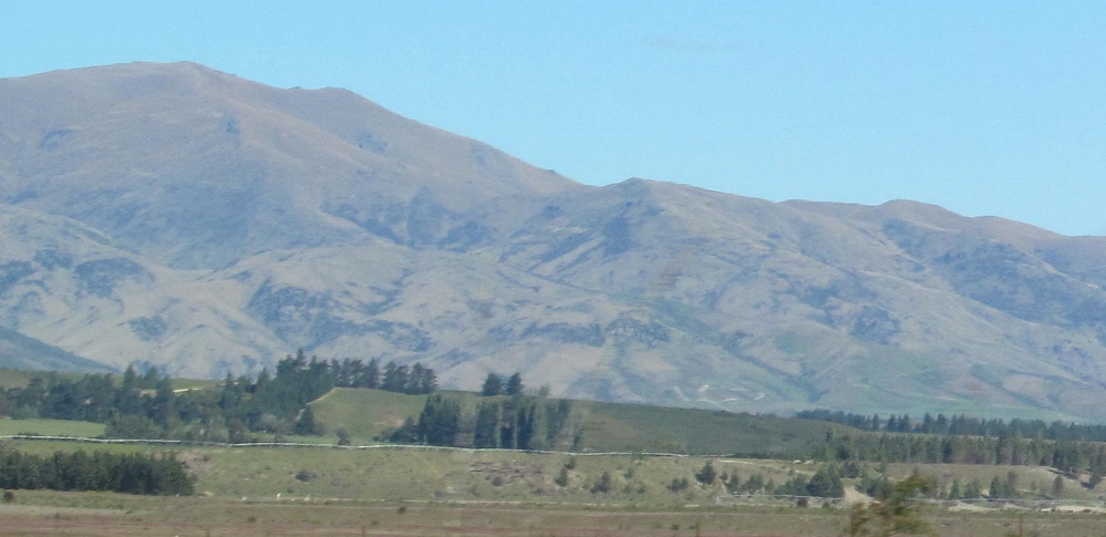
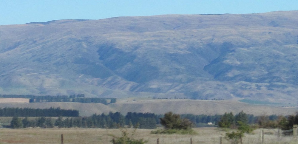
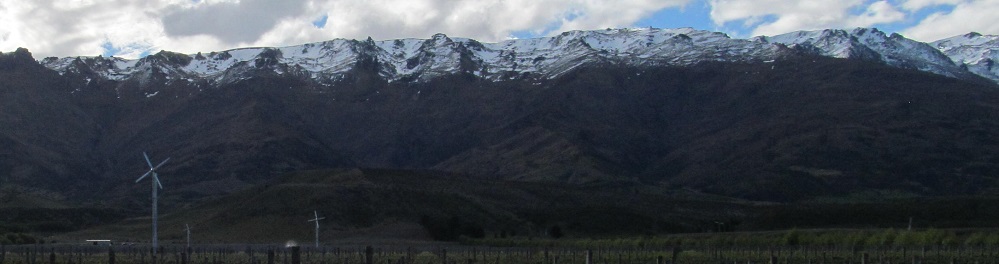
Behind the Dunstan Mountains may be Mt. Difficulty.
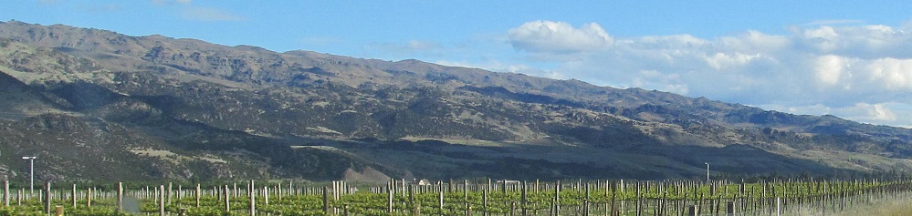
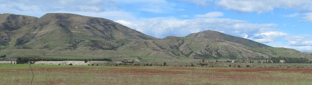
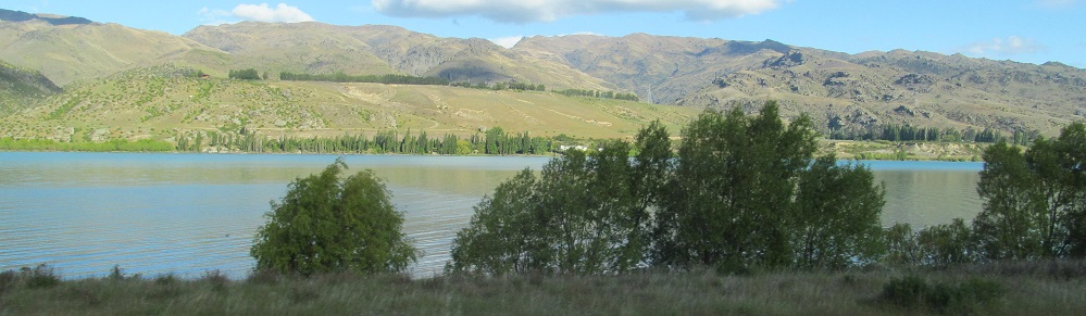
Scenery to the left (1) and right (2-3).
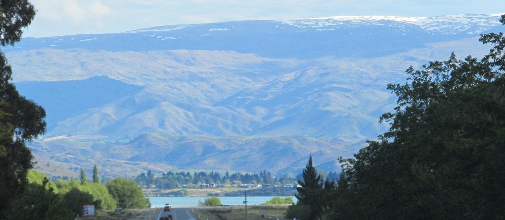
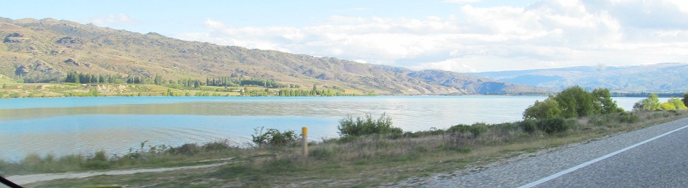
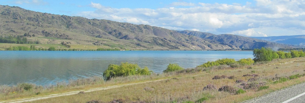
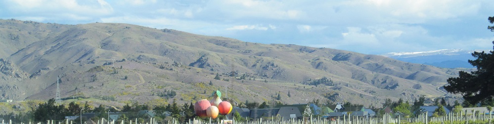
I come over a rise and settle alongside Lake Dunstan, formed by the Clutha River. As I get to Cromwell, the lake narrows out of sight, and I'm left with... is that...
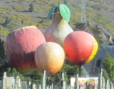
Apple, pear, peach, apricot, these are the fruits of Cromwell, and one of New Zealand's Big Things (mostly famous in Australia).
Highway 6 curves to head back west, so now the sun is to my left instead of my right.
Kawarau Gorge
Continue south or north on Highway 6 to Queenstown-Lakes District
Back to Highway 6 main page
Back to New Zealand Non-Roads
Back to Non-Roads main page