New Zealand - NZ 6 - Buller Dist. - SW of Buller Gorge
Highway 6, Buller District -
Southwest of Buller Gorge
All photos were taken heading south.
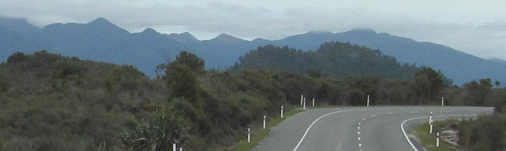
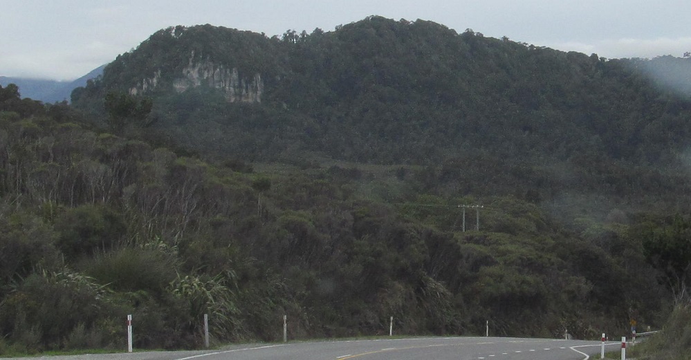
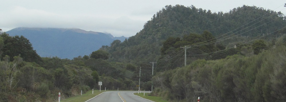
Highway 6 heads south as it turns away from Westport, so this photo to my left is looking east.
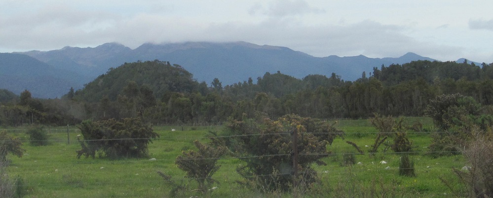
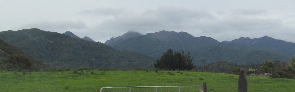
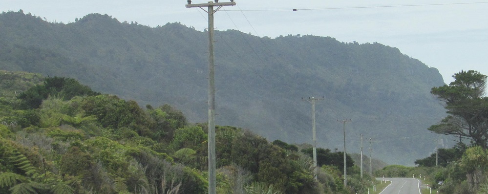
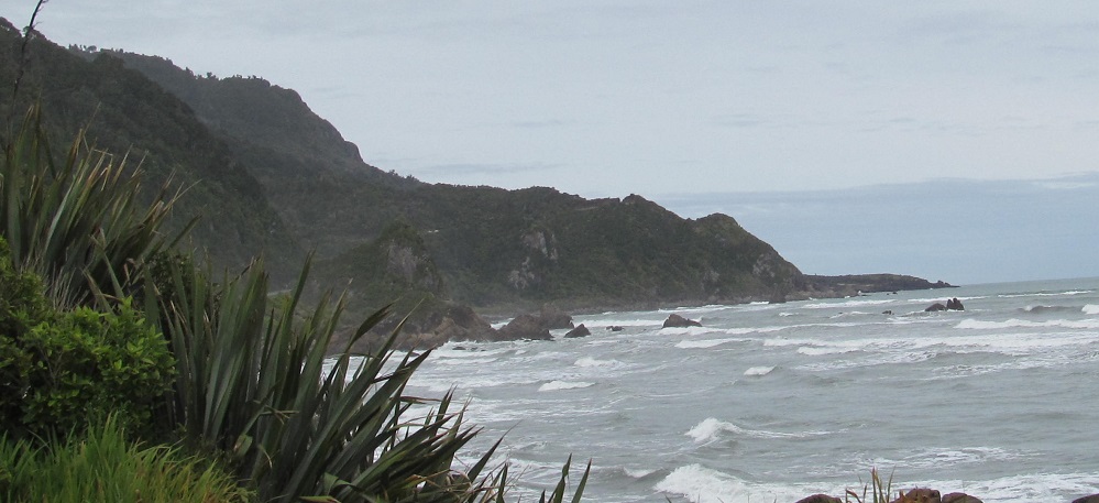
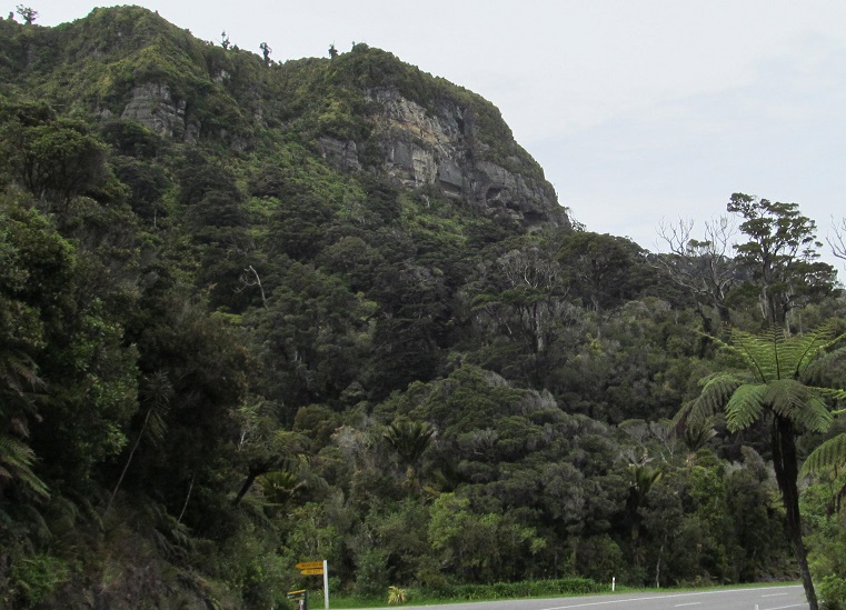
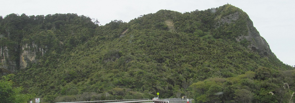
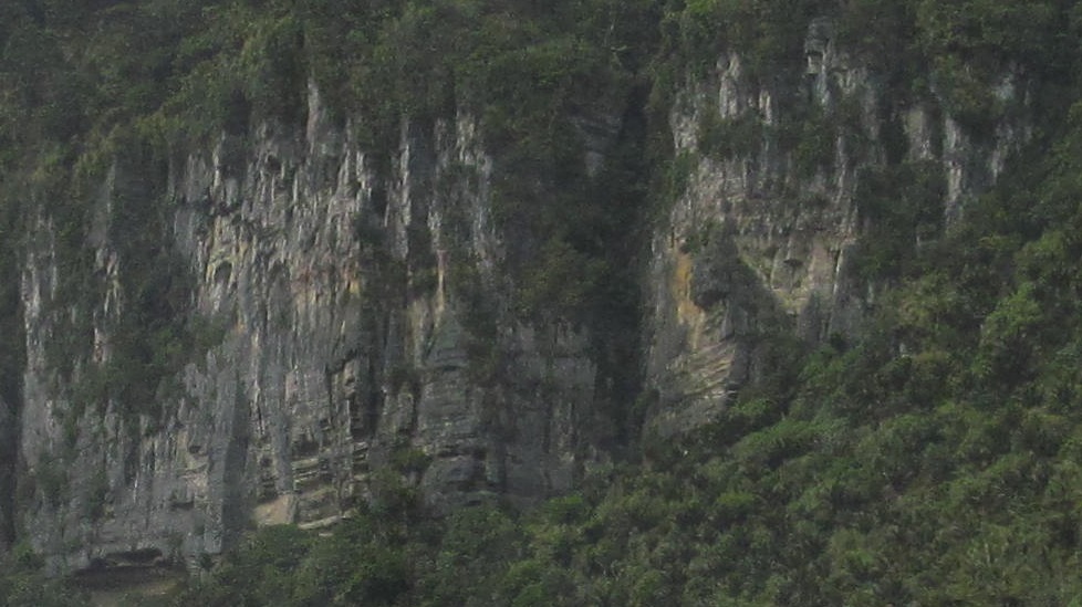
All the Paparoa Range I can see, from northeast to southeast.
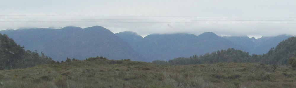
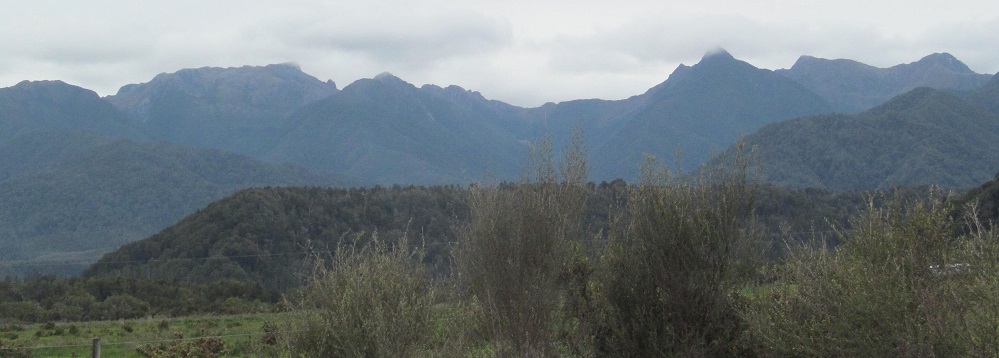
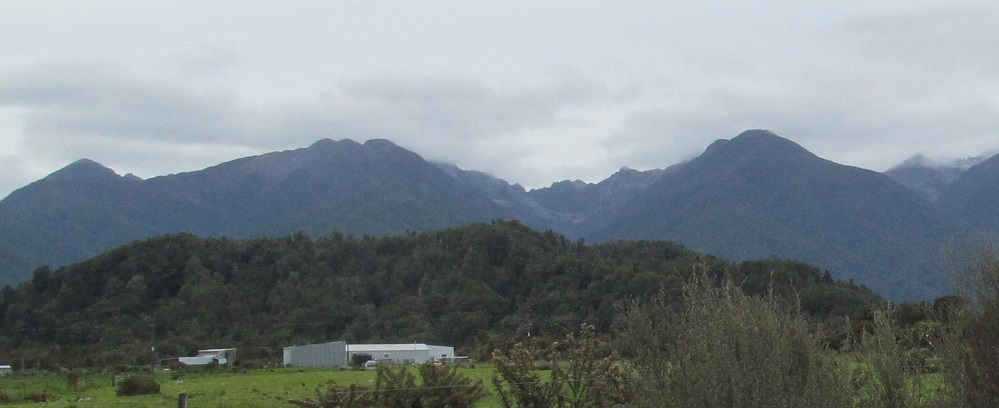
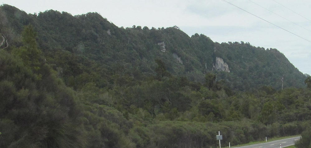
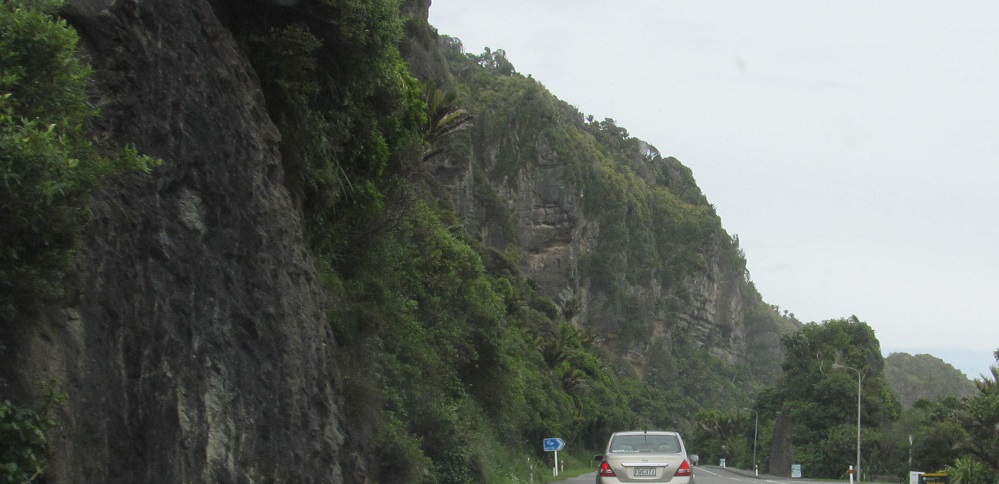
More Paparoa, several minutes later. First photo looks left.
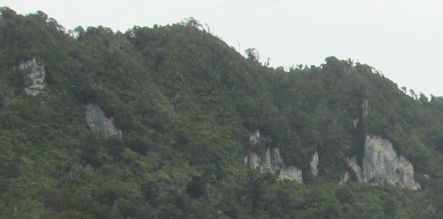
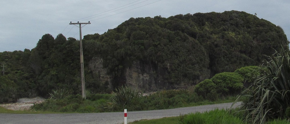
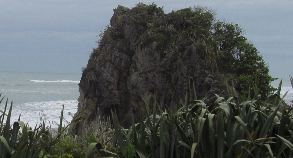
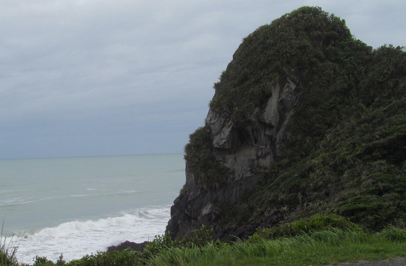
Do you like rocks? I like rocks. Enjoy rock closeups throughout this page.
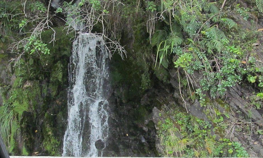
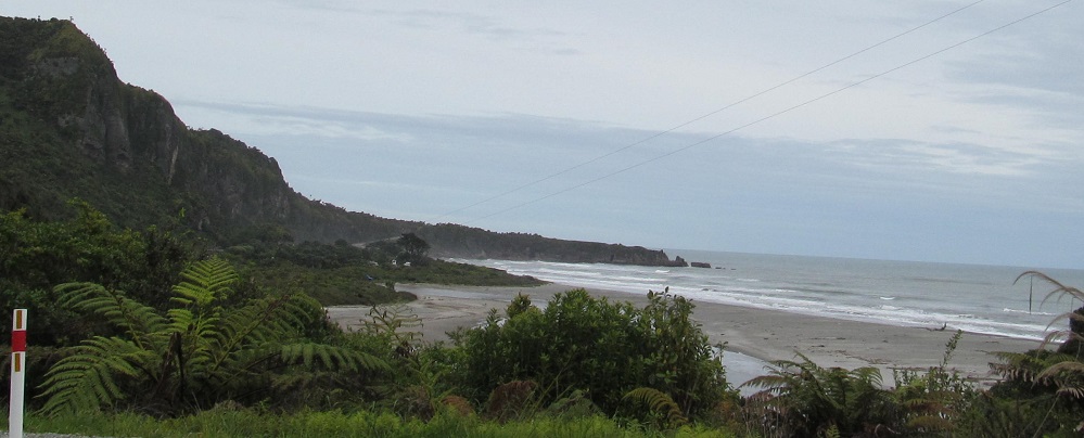
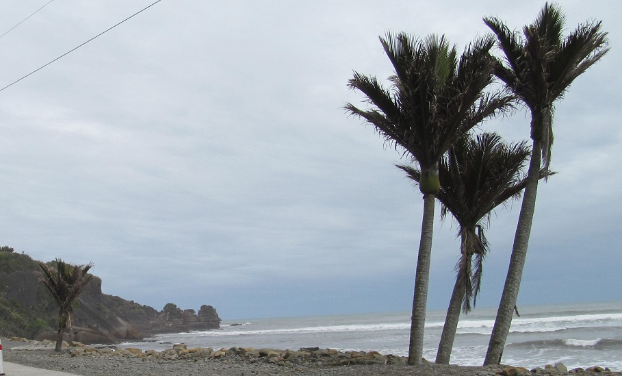
Random waterfall on my left heralds my arrival at the Tasman Sea, where I'll spend the next half a day making my way south.
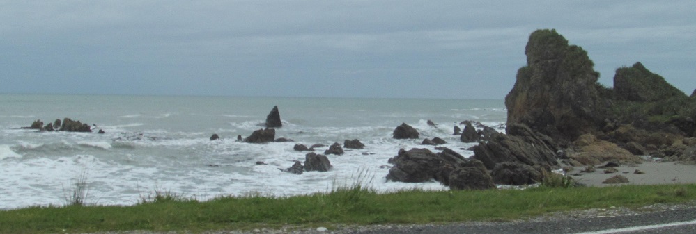
I'll call the last 4 photos a mini-panorama since they go from left to right.
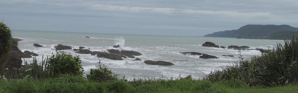
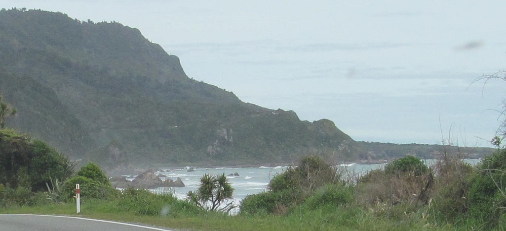
Highway 6 jumps just inland for a little bit, and then I sneak looks back north at the bay from the Fox River area.
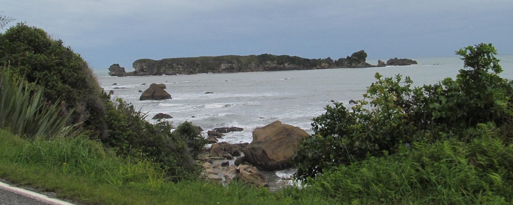
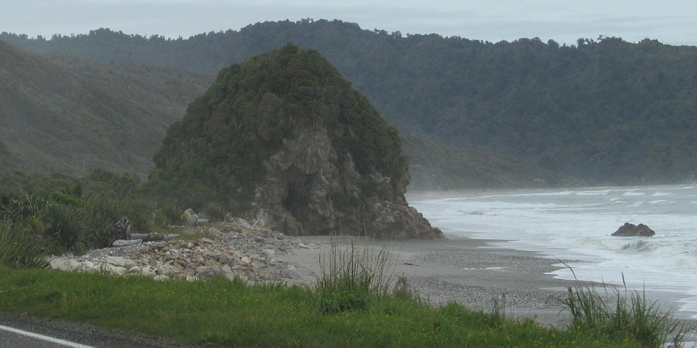
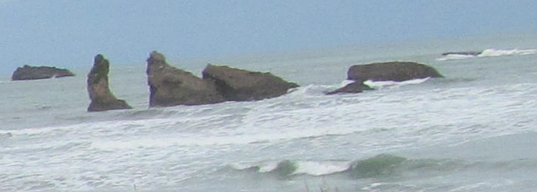
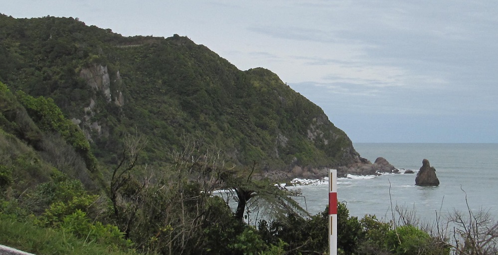
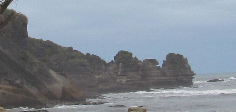
Seal Island. The tail is to the right, the head is to the left, the back is where we El Camino, El El Camino... sorry.
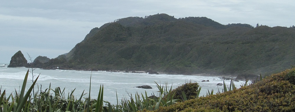
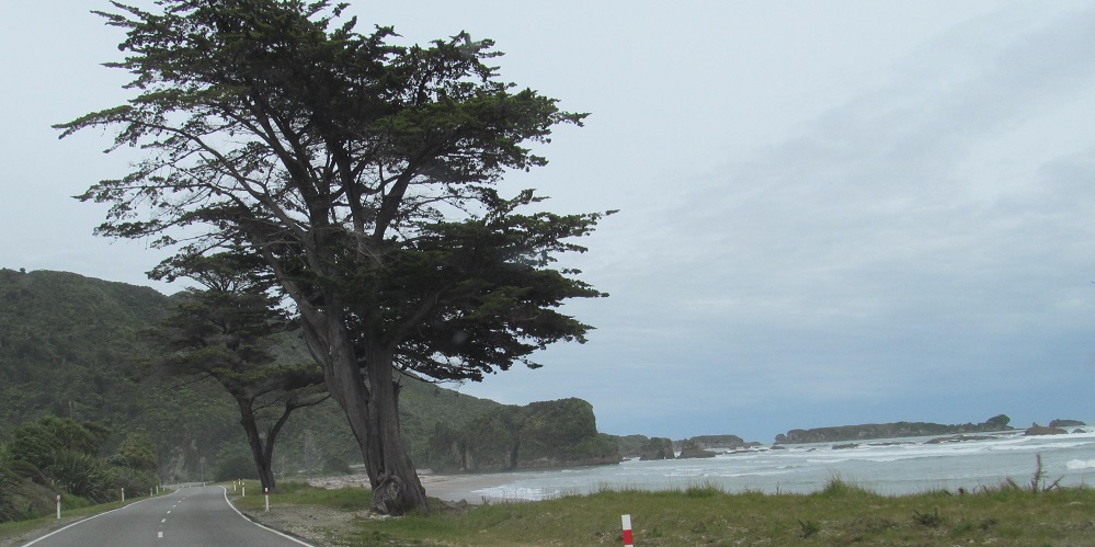
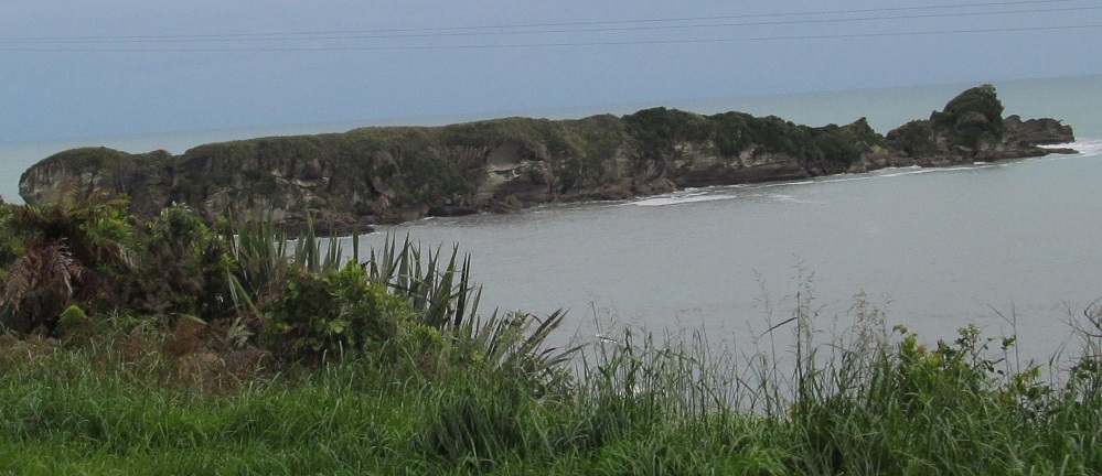
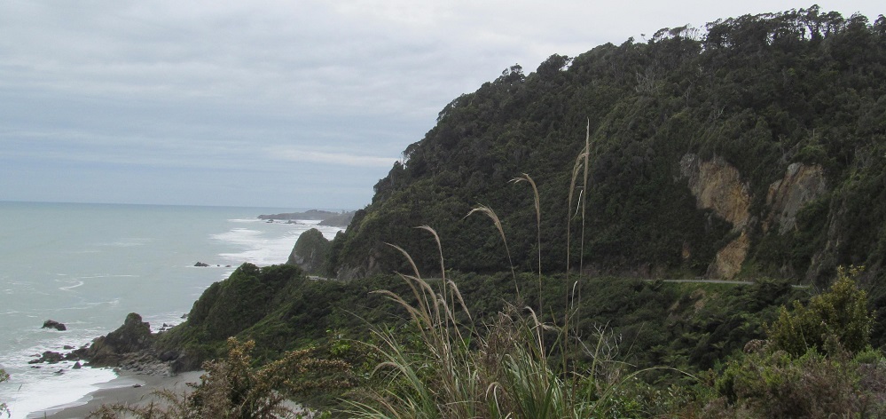
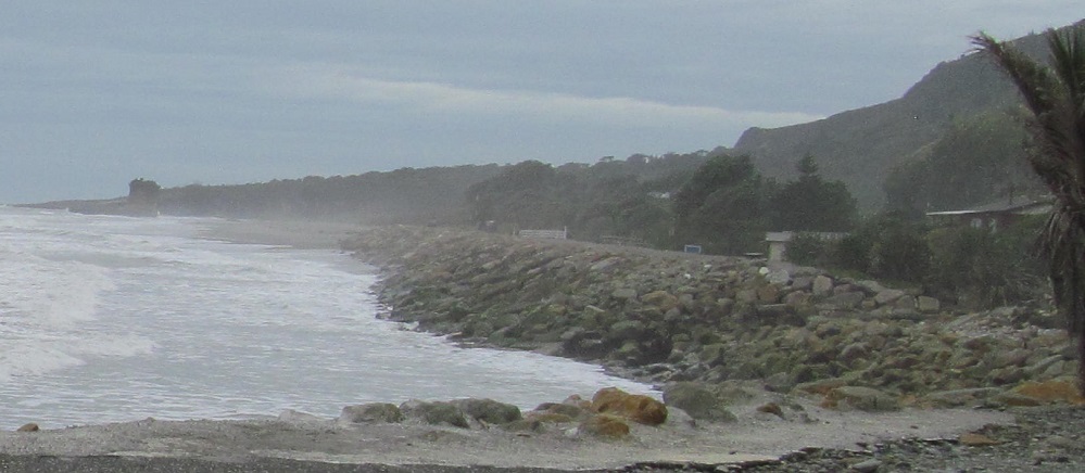
One last look back at Woodpecker Bay, and then heading resolutely around Kaipakati Point to...
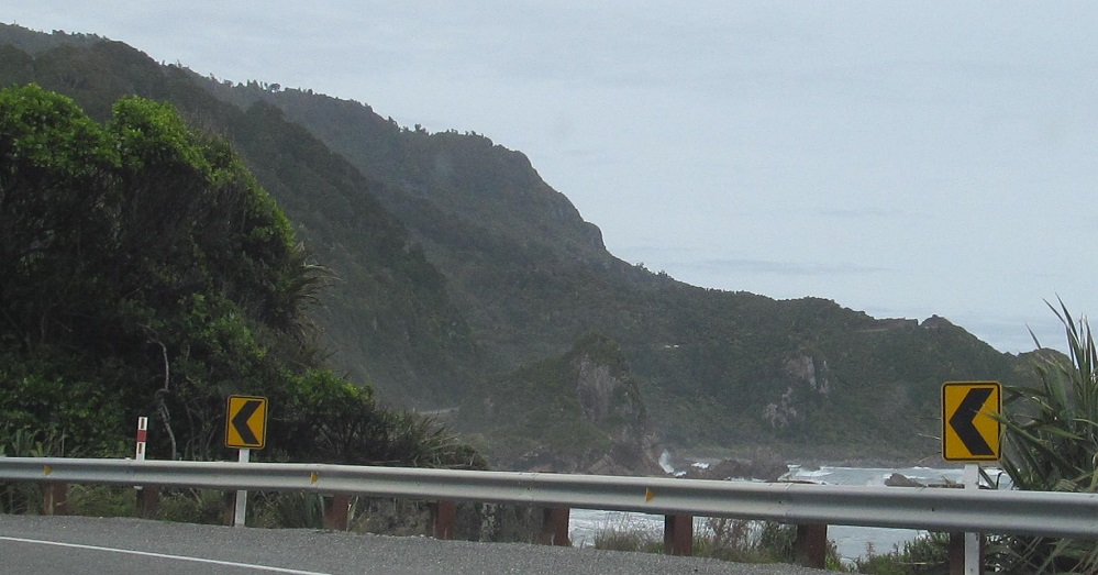
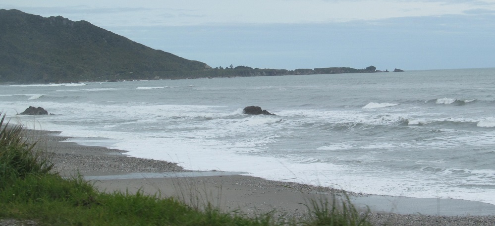
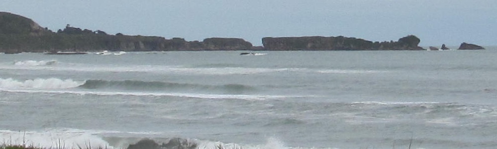
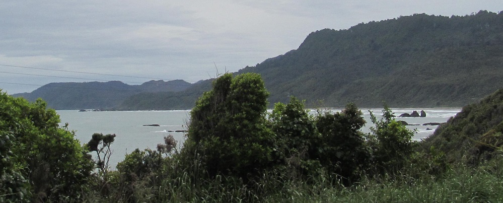
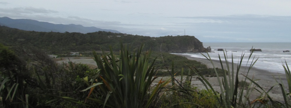
The next vantages look out over a series of shallow bays with points that aren't particularly prominent. From Maungahura Point (foreground left), I can see past Motukutuka Point, Gentle Annie Rocks, and Perpendicular Point all the way down to Dolomite Point, the last outcropping in Buller District.
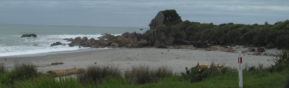
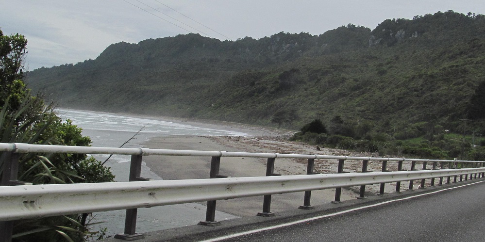
This particular indentation is Hatters Bay.
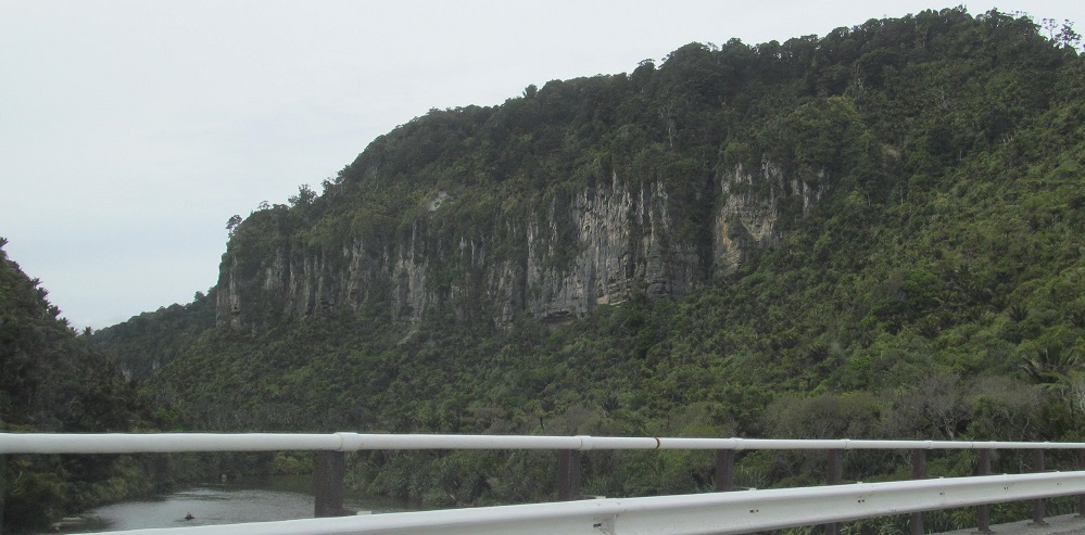
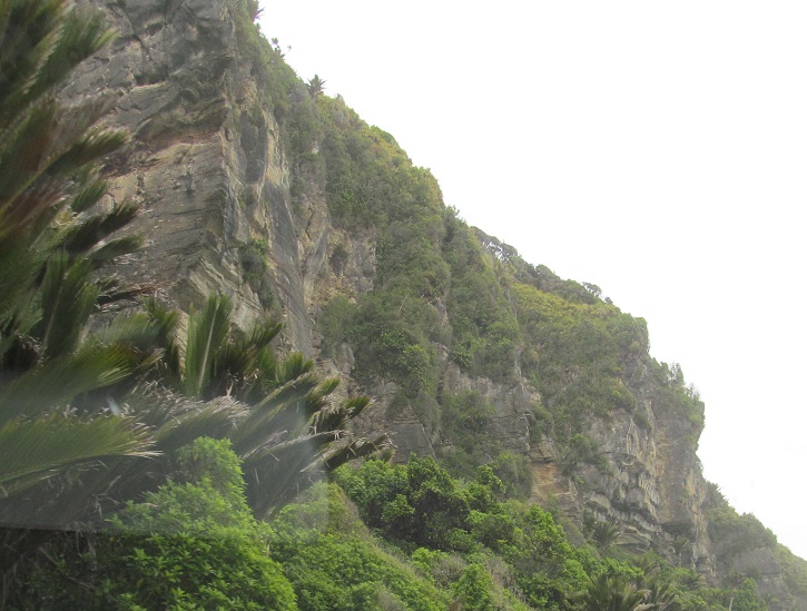
The last 3 photos are at Pororari River. It rocks. These rocks. These are rocks.
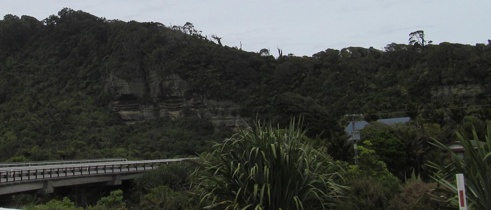
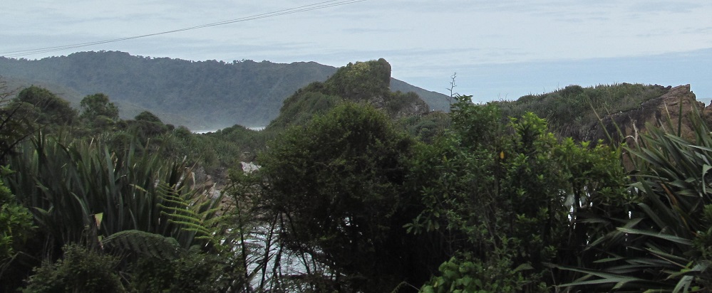
More scenery up to the Punakaiki River, which defines the boundary between the Buller and Grey Districts of the West Coast Region. The last photo is technically not even of Buller District, but I'm not yet physically across the river.
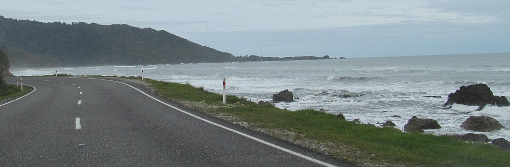
Continue south on Highway 6 to Grey District
Back northeast on Highway 6 into Buller Gorge
Back to Buller District main page
Back to Highway 6 main page
Back to New Zealand Non-Roads
Back to Non-Roads main page