New Zealand - NZ 1 - Wellington Region
Highway 1, Wellington Region
All photos are taken heading south.
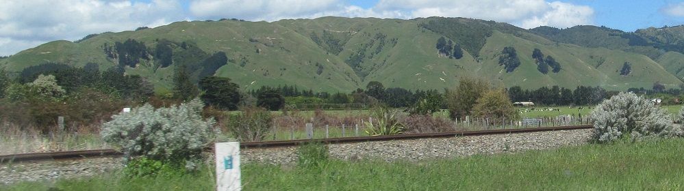
Nearing Waikanae. The last photo is on former Highway 1, since bypassed.
The highway I took through Waikanae has since been bypassed, so these photos are on former 1.
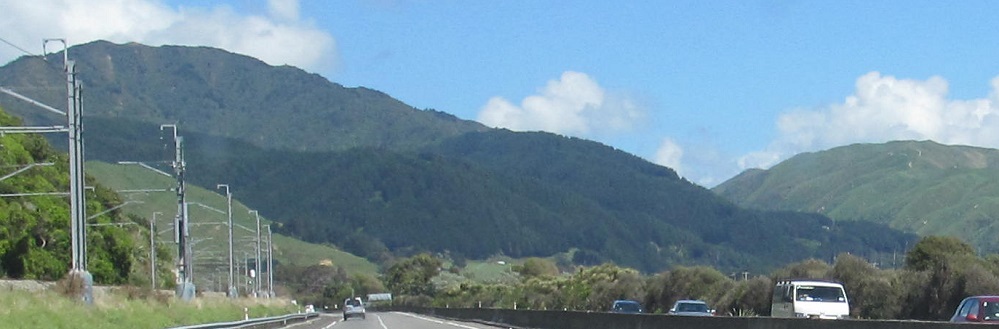
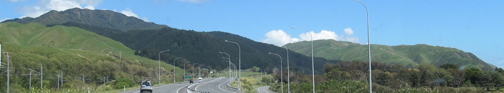
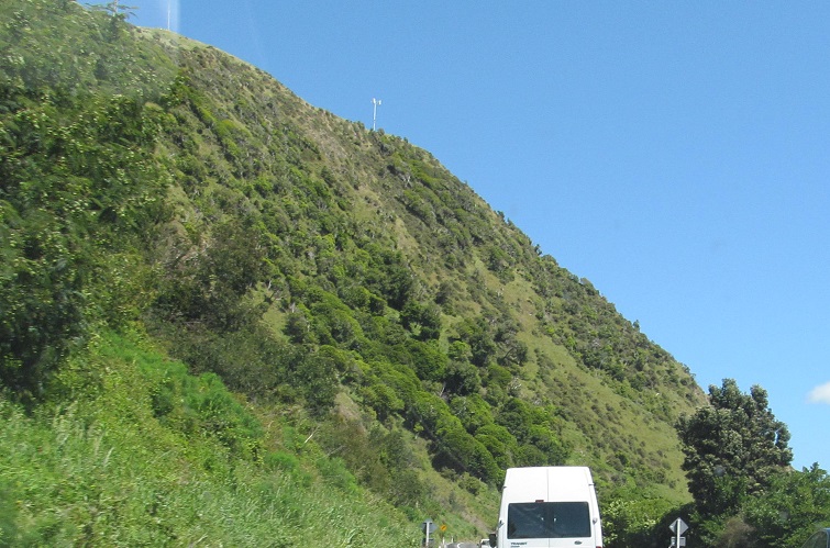
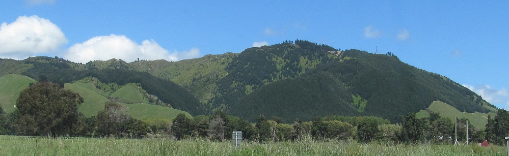
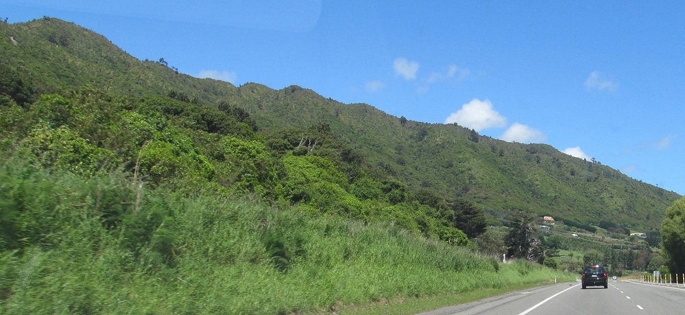
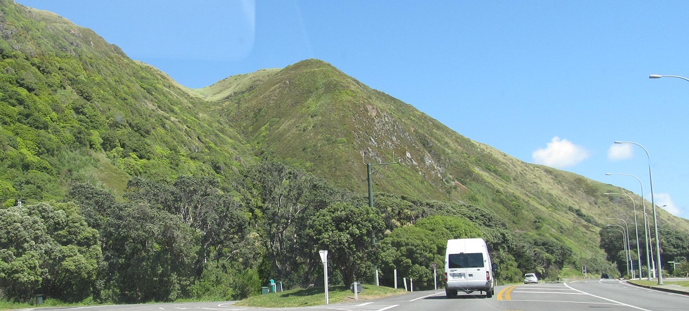
Nearing Paekakariki.
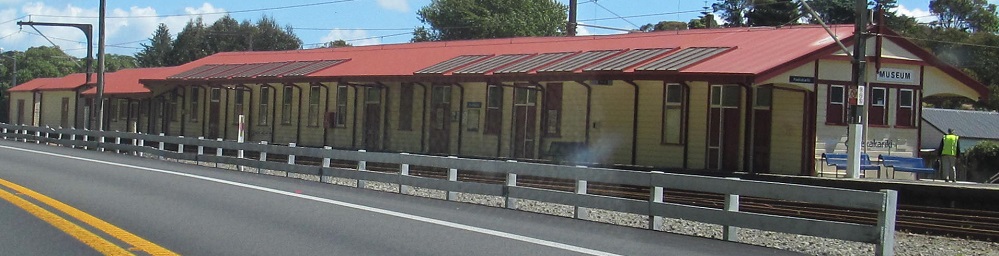

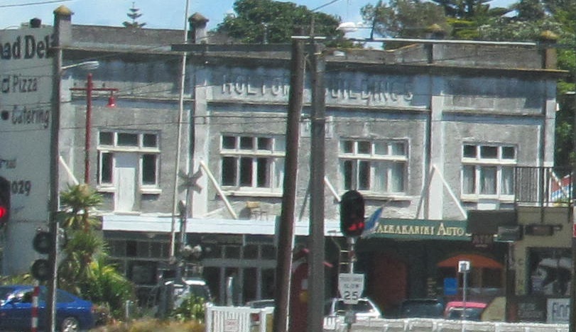
Former railway buildings and another Paekakariki oldie.
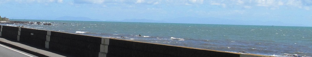
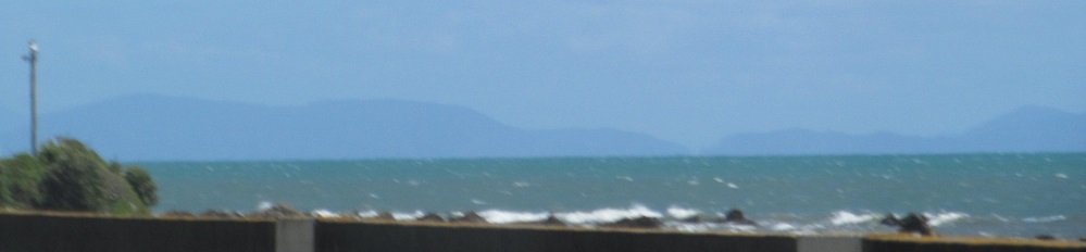
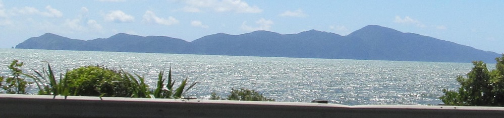
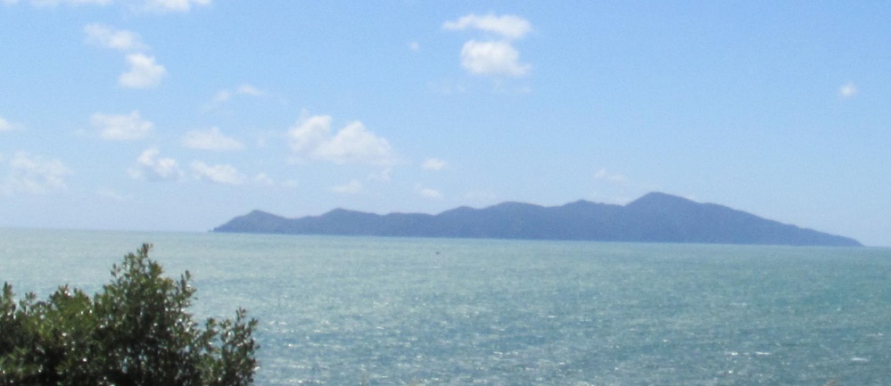
Continuing south, on a clear day one can see the South Island from here. Part of the distant landscape of the Marlborough Sounds is Arapaoa Island (left), while the tallest feature is Mount Stokes.
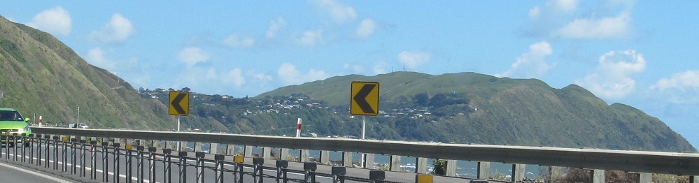
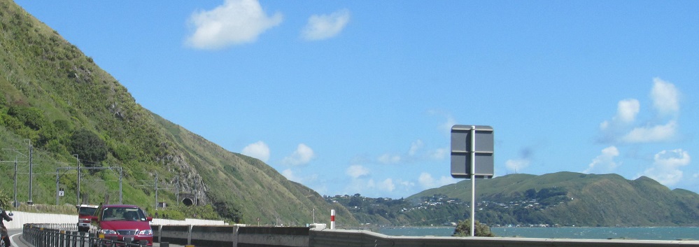
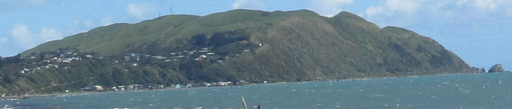
Framing 3 southward photos approaching the community of Pukerua Bay, I have two looks back over my shoulder to the northwest at Kapiti Island. The small rocks to the right of the 4th photo define Wairaka Point.
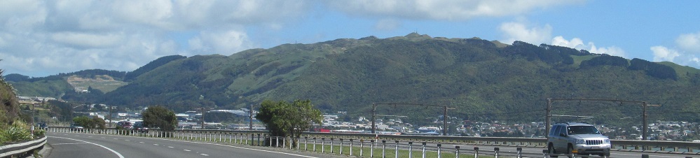
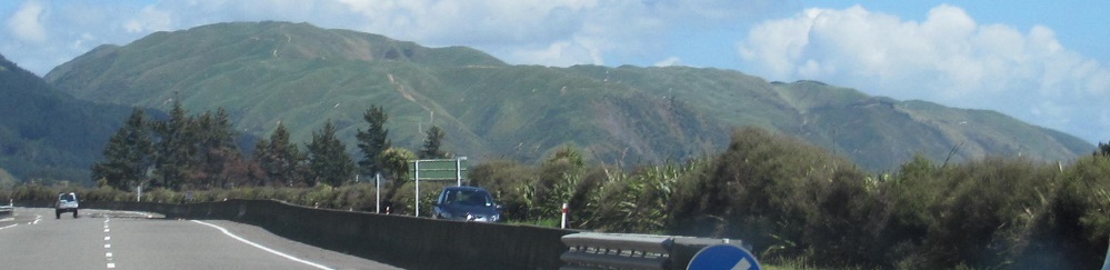
Nearing downtown Porirua.
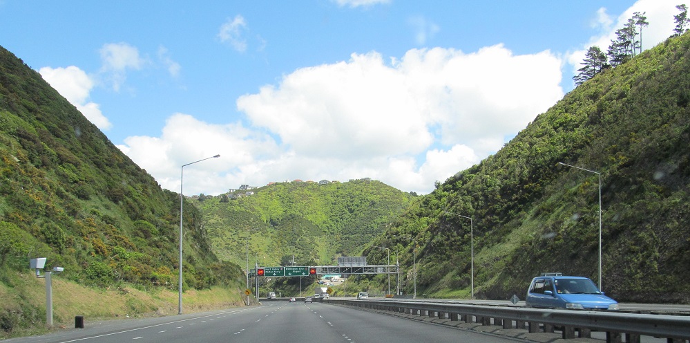
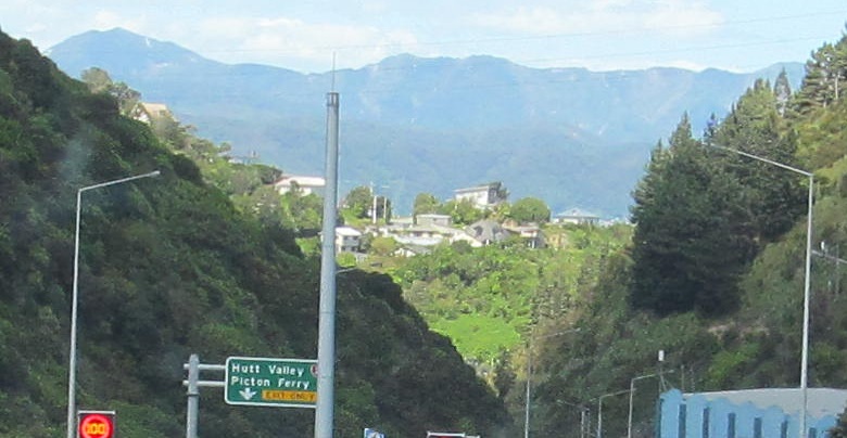
Descending from Johnsonville to Ngauranga, which brings me to...
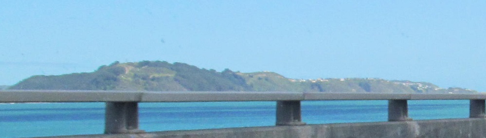
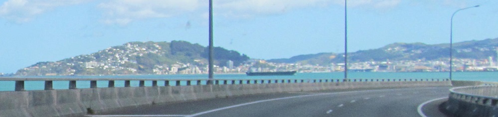
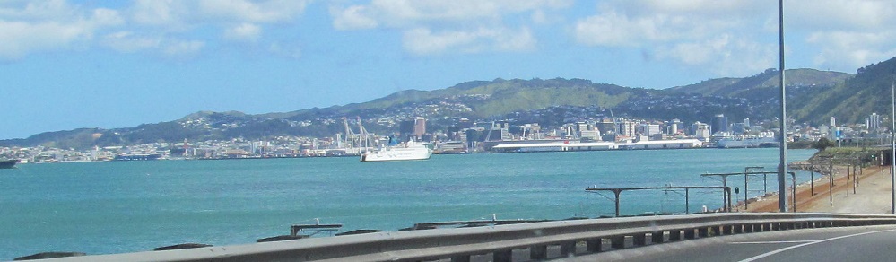
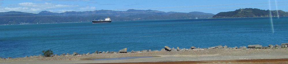
Wellington Harbour, where Highway 1 spends a little time before heading into the city proper. Wrights Hill is in the first photo and the right foreground of the last photo.
Back north on Highway 1 to Manawatu-Wanganui Region
Back to Highway 1 main page
Into Wellington
Back to New Zealand Non-Roads
Back to Non-Roads main page