New Zealand - NZ 1 - Canterbury Region - Kaikoura
Highway 1, Canterbury Region - Kaikoura District
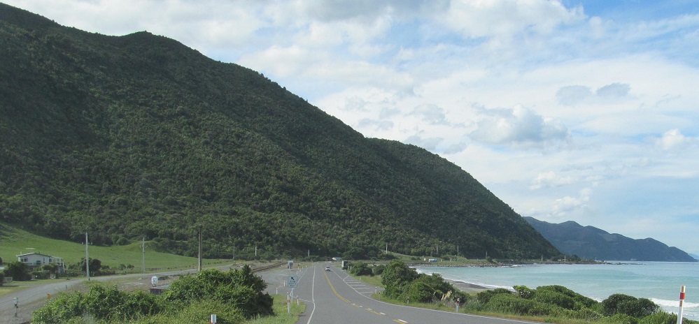
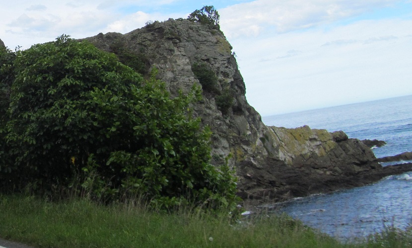
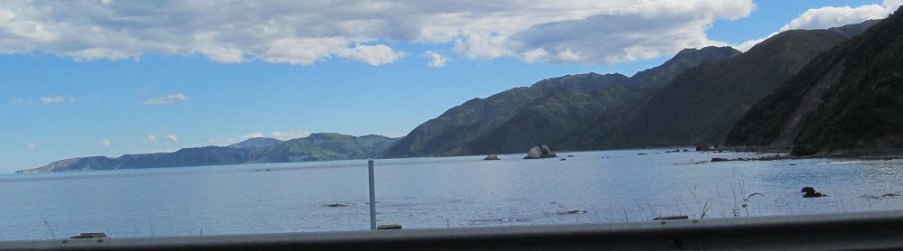
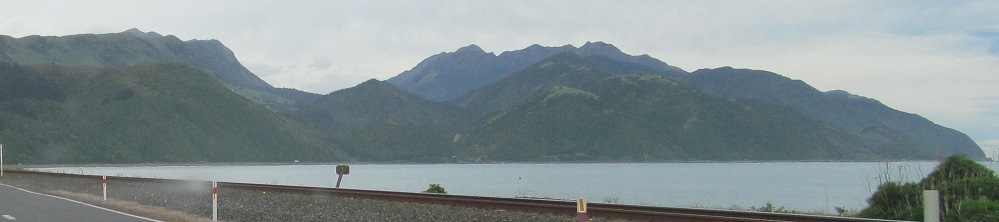
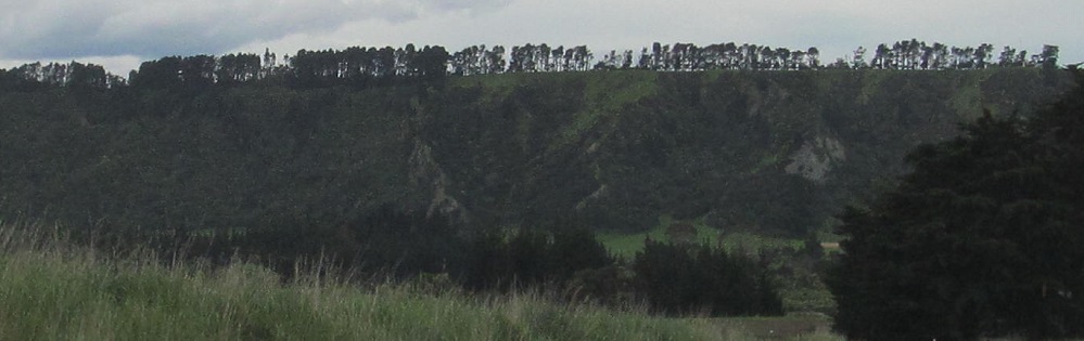
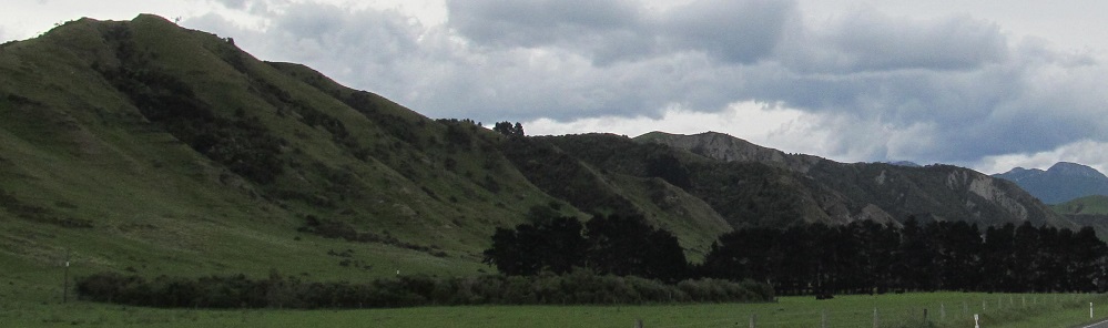
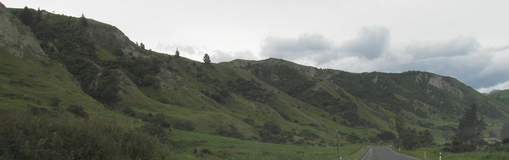
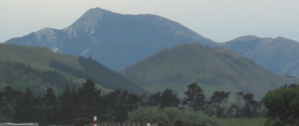
Just north of Hundalee Hills, looking north (first photo) and then south at Spy Glass Point (Piripaua) at the end of Tarapuhi Mountain.
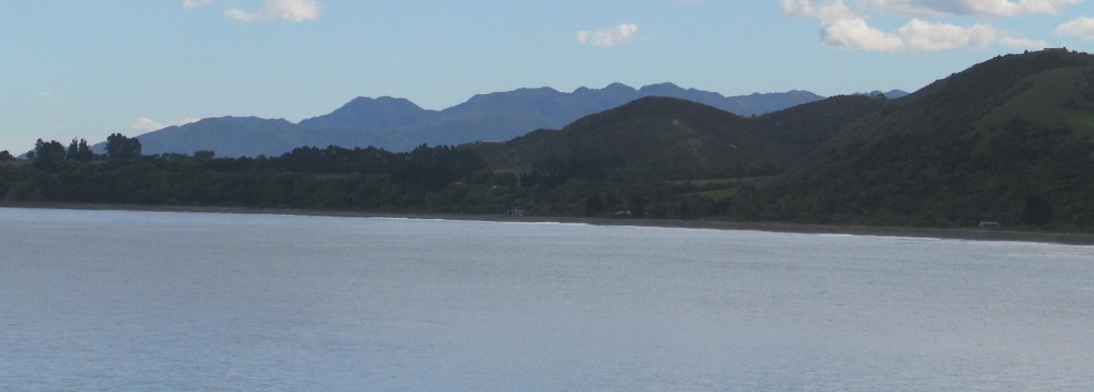
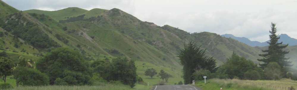
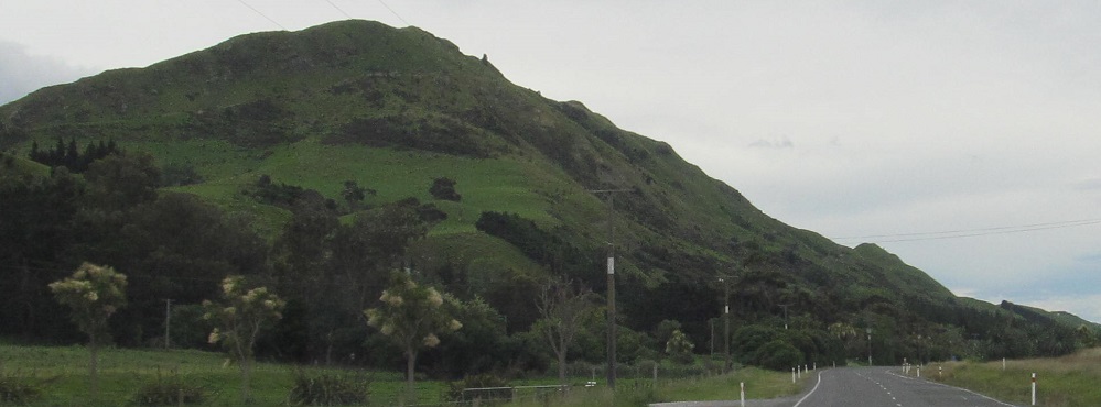
Looking north and south again from Oaro, with Tarapuhi still very visible.
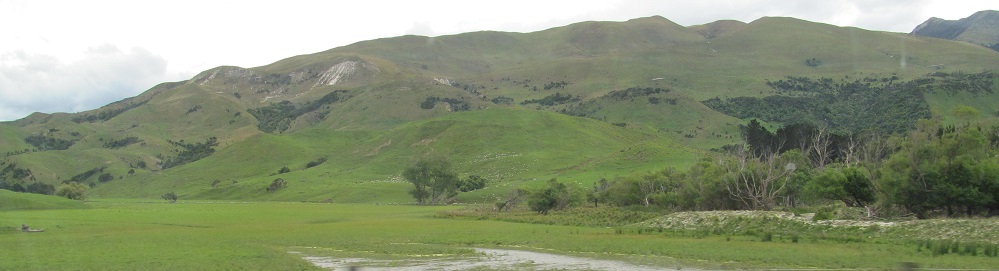
More looks north and south again. Sorry, I've never seen water before.
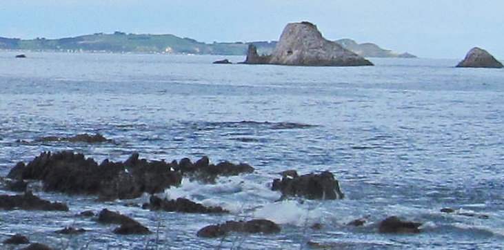
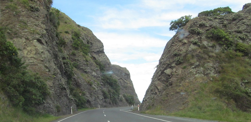
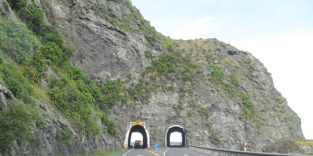
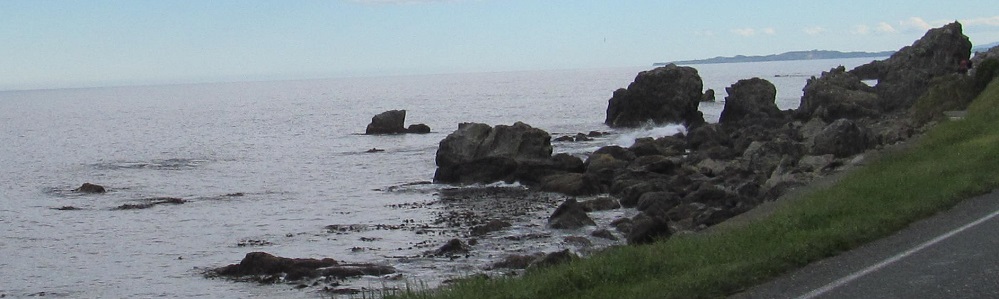
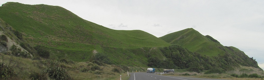
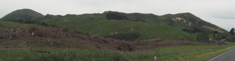
All of these, somehow, are heading north. The last two photos are just north of Raramai Tunnel No. 2, if you want to find these rocks yourself.
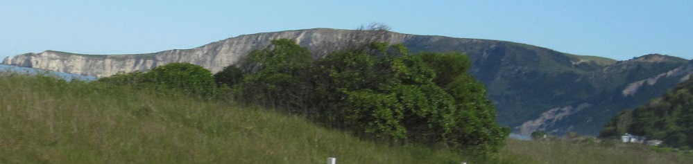
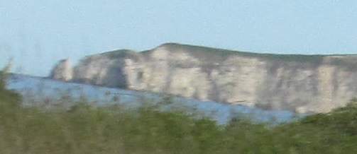
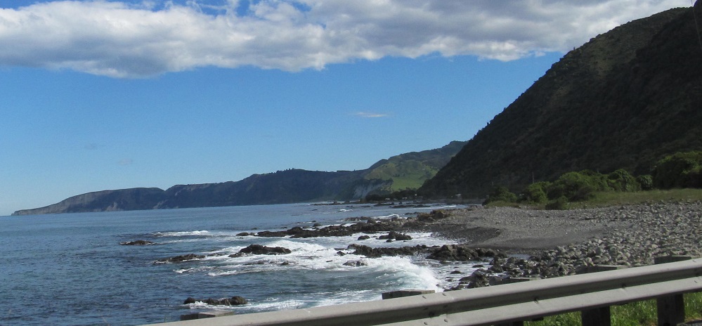
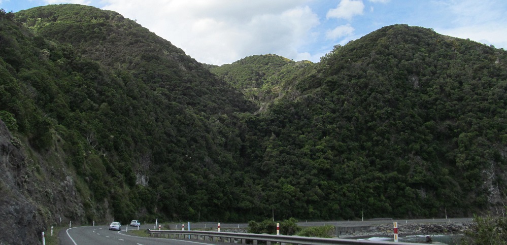
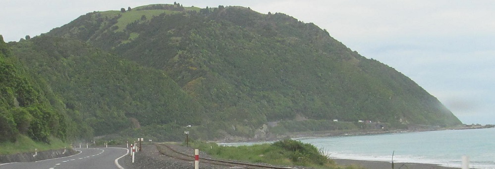
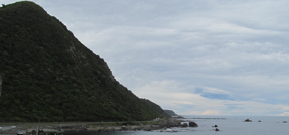
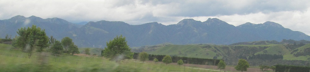
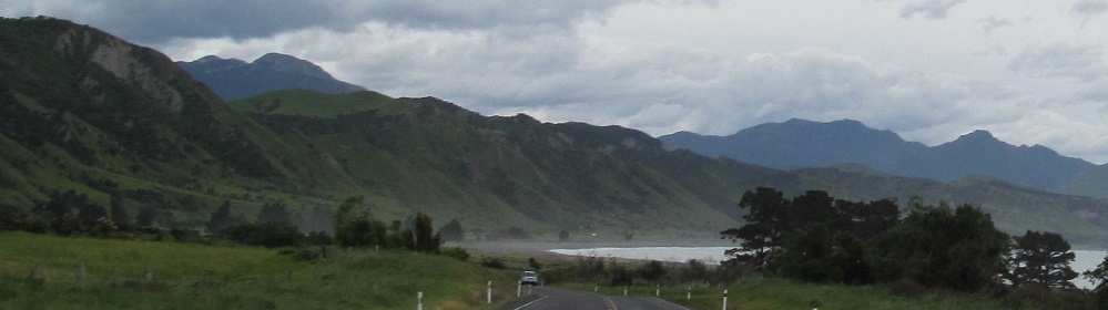
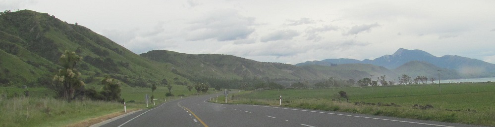
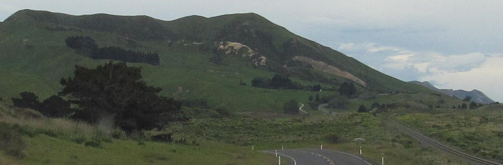
Continuing north, but still with a look back south, and still seeing Spy Glass Point (far left).
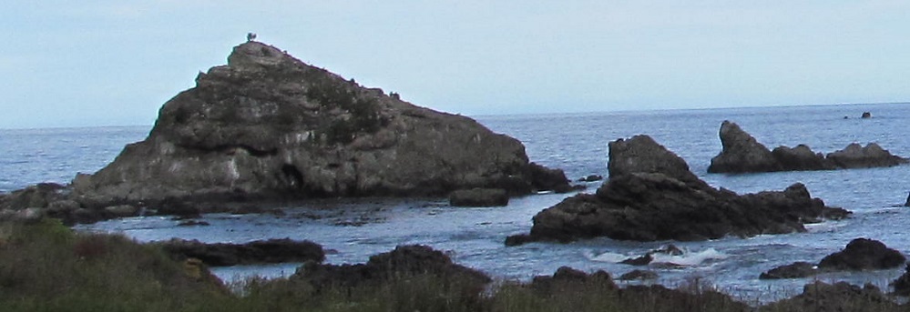
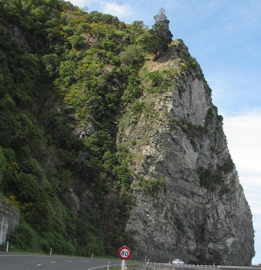
Here's a reason to stay facing straight ahead: Pinnacle Rock (left).
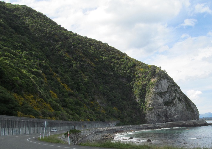
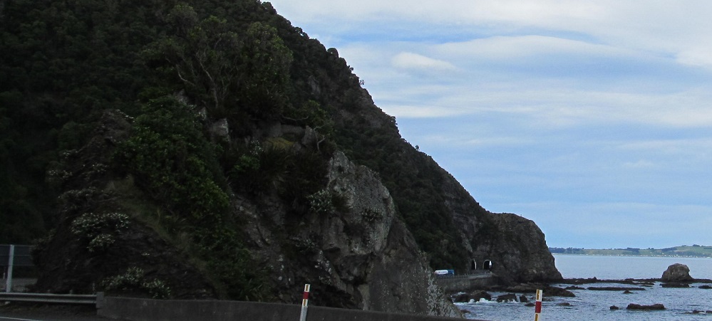
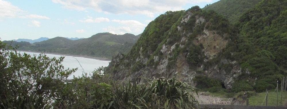
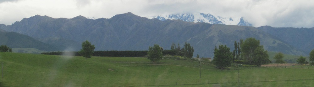
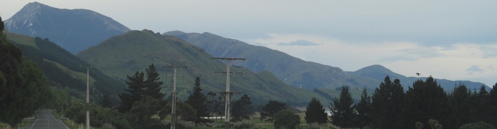
Continuing past Parititahi Tunnel No. 2 to a giant seaside rock cut for Highway 1, then ending with my first solid view of the Seaward Kaikoura Range. Photos continue at the big link below, then resume on the north side of the range:
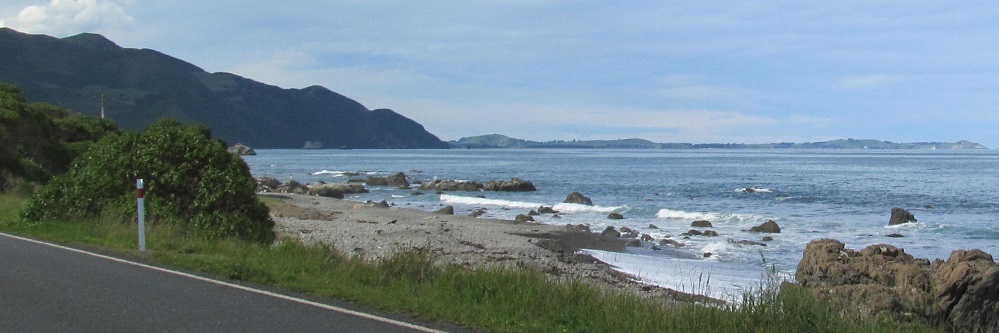
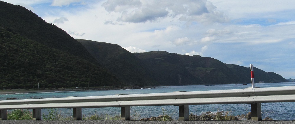
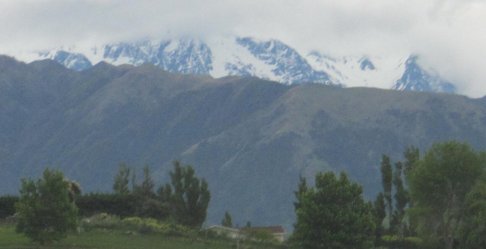
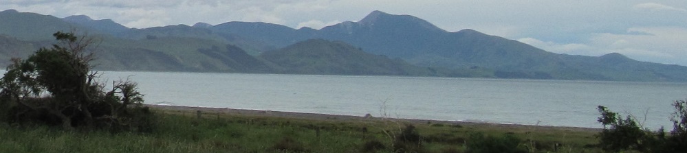
Still within sight of the Seaward Kaikoura Range, but not looking that direction. In fact, the last photo looks south.
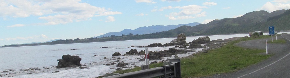
These photos also look south. Which way am I even driving?
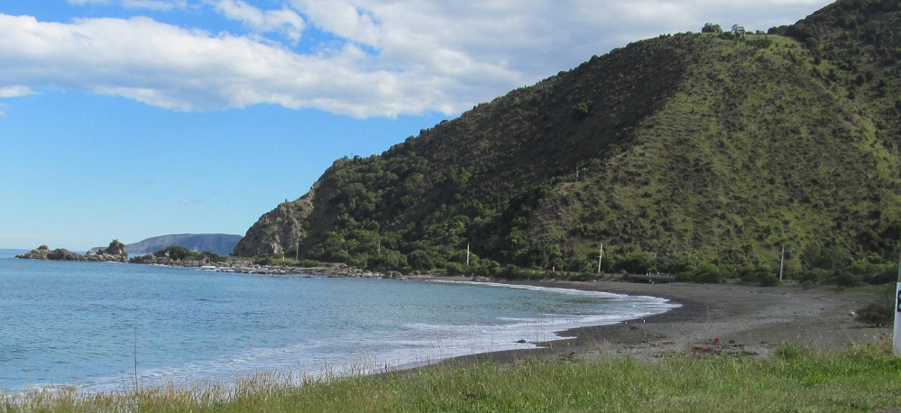
O hai, Ohau (Point).
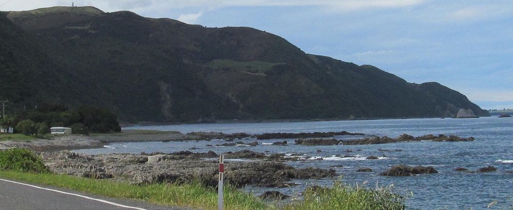
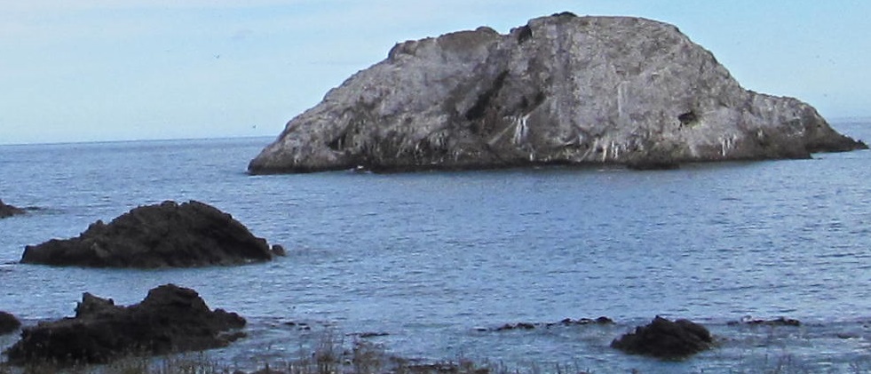
The ocean scenery rocks here.
Up to the Clarence River.
North until Canterbury Region ends.
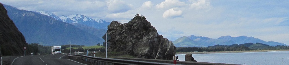
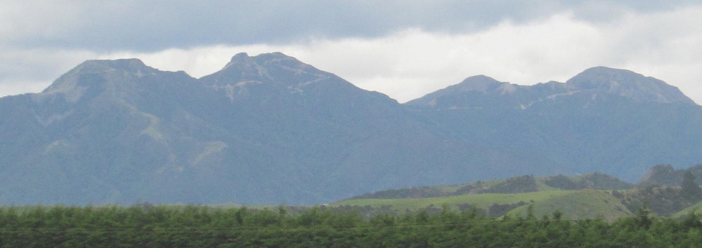
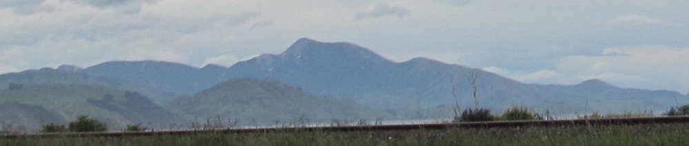
Seaward Kaikoura Range
Continue north to Marlborough Region
Back south to Hundalee Hills
See the rest of Canterbury Region on Highway 1
Back to Highway 1 main page
Back to New Zealand Non-Roads
Back to Non-Roads main page