New Zealand - Lake Ha̅wea - N
Lake Ha̅wea - northern
All photos are taken heading southward on Highway 6.
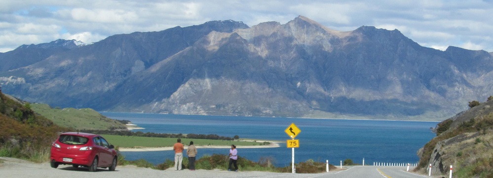
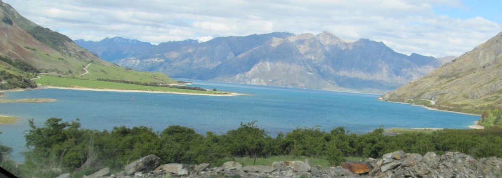
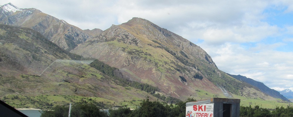
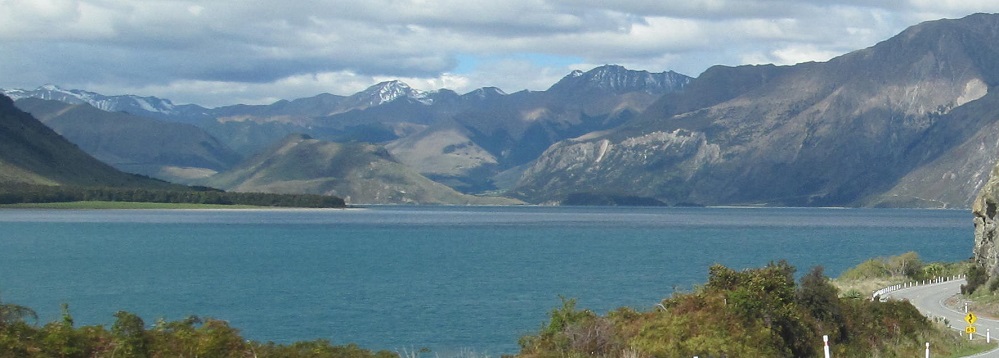
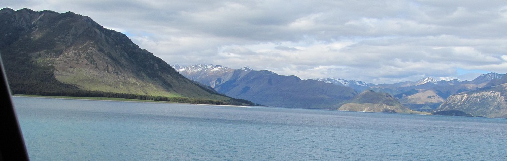
First views of Lake Ha̅wea, coming across "The Neck" from Lake Wanaka.
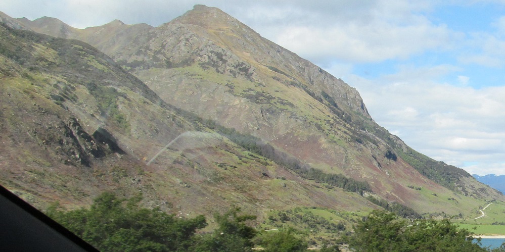

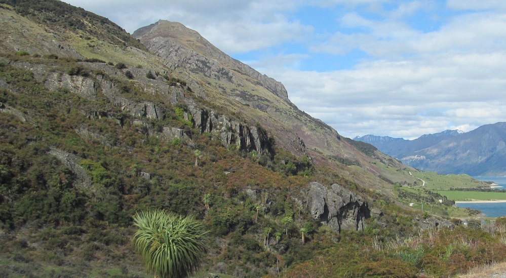
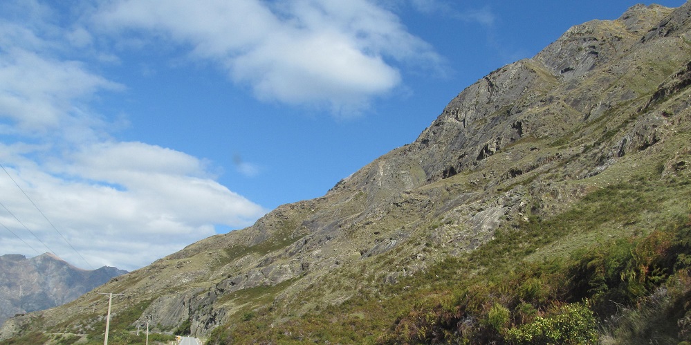
Highway 6 heads east along the arm of the lake next to Isthmus Peak.
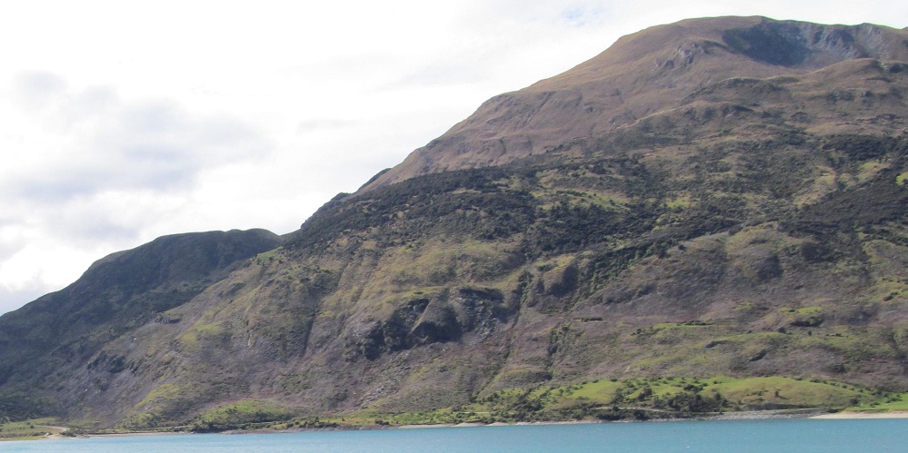
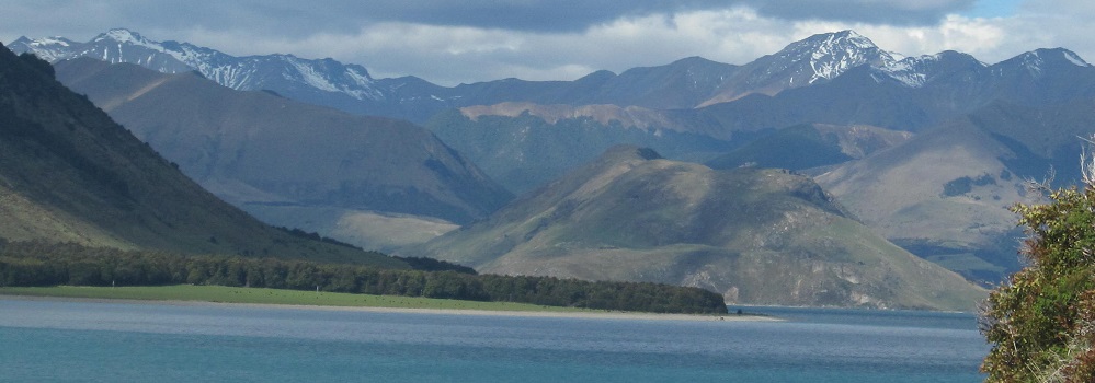
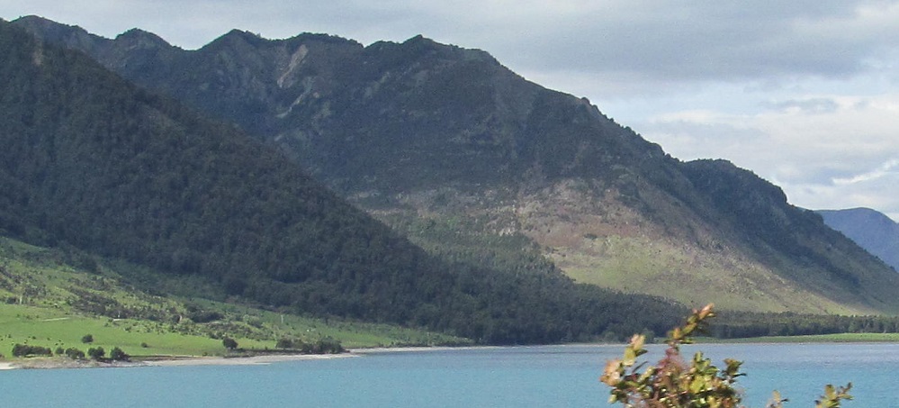
Looking north across the inlet at the south end of the Young Range. Sentinel Peak hides in the back left corner.
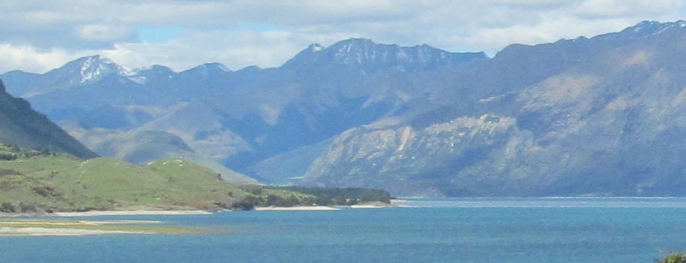

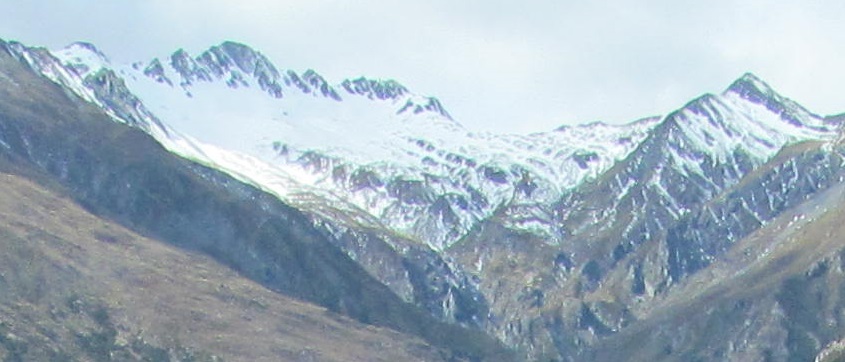
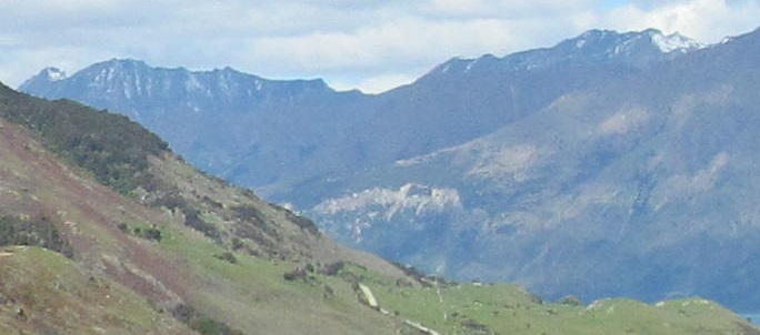
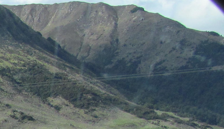
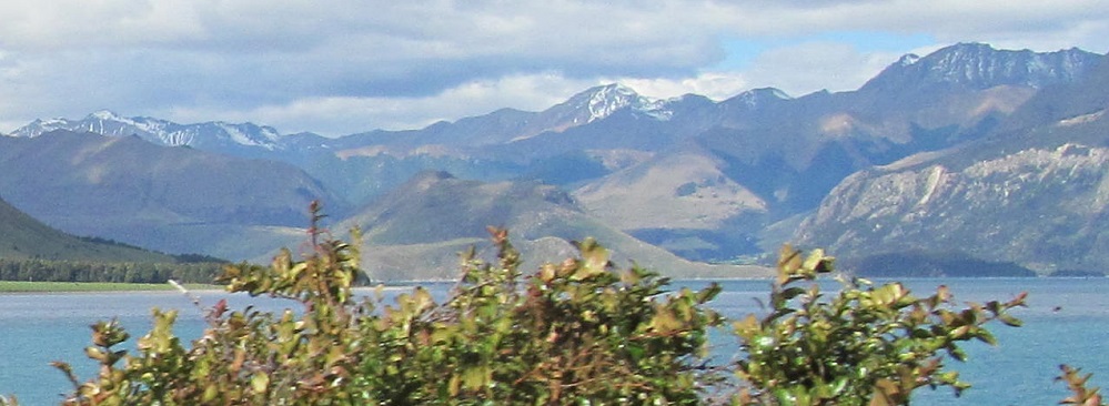
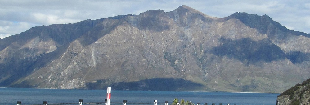
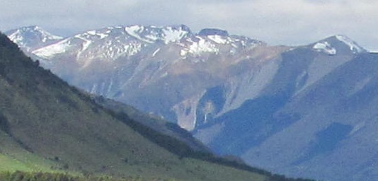
Panning from south to north, where I find the Huxley Range. It may look like I found the end of the lake, but this is just a pocket across from my view at Silver Island.

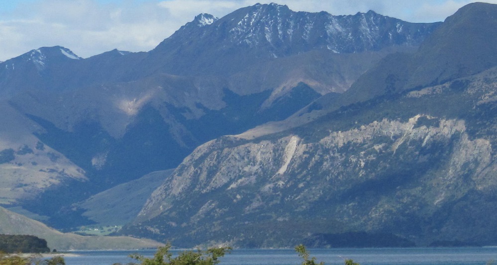
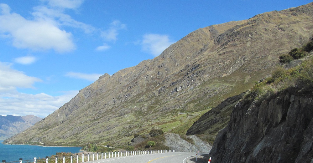
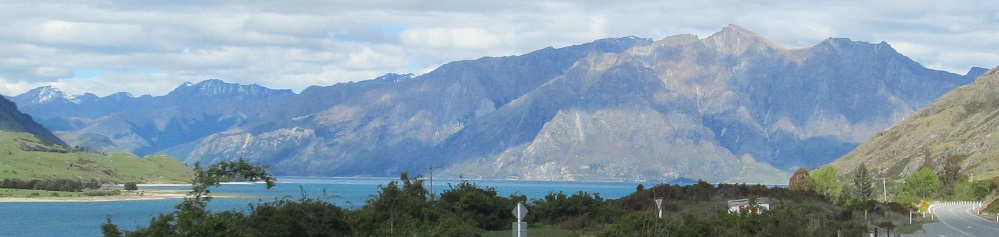
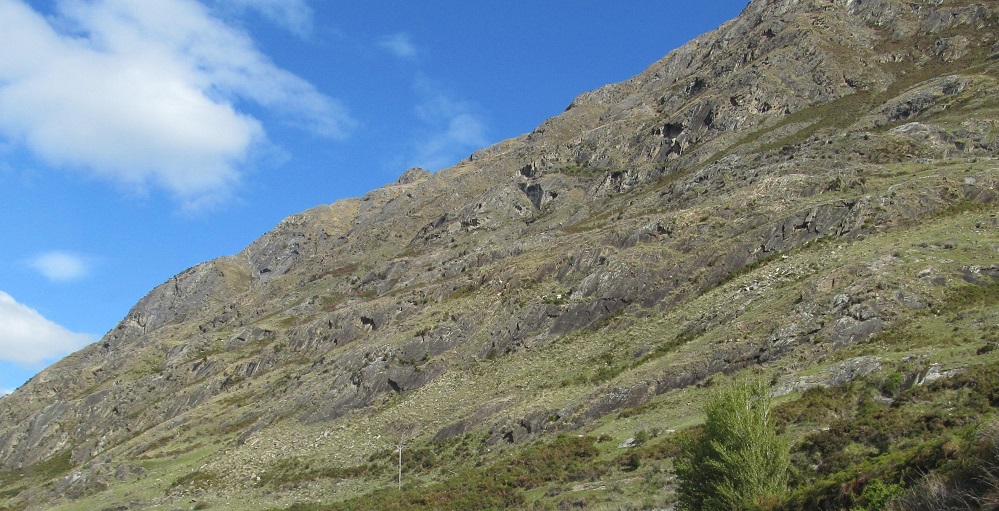
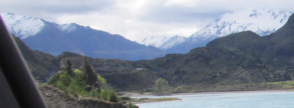
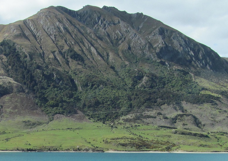
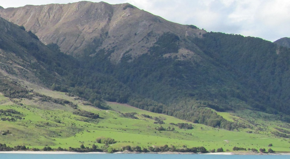
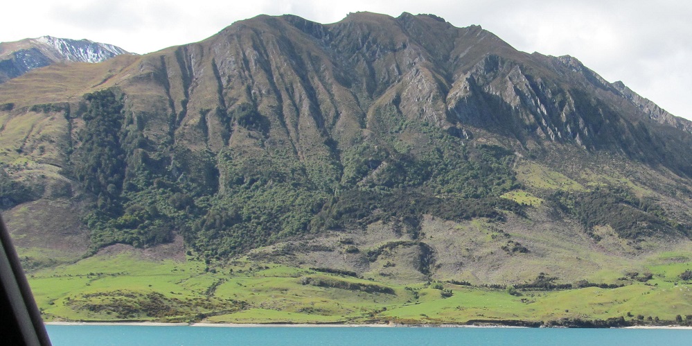
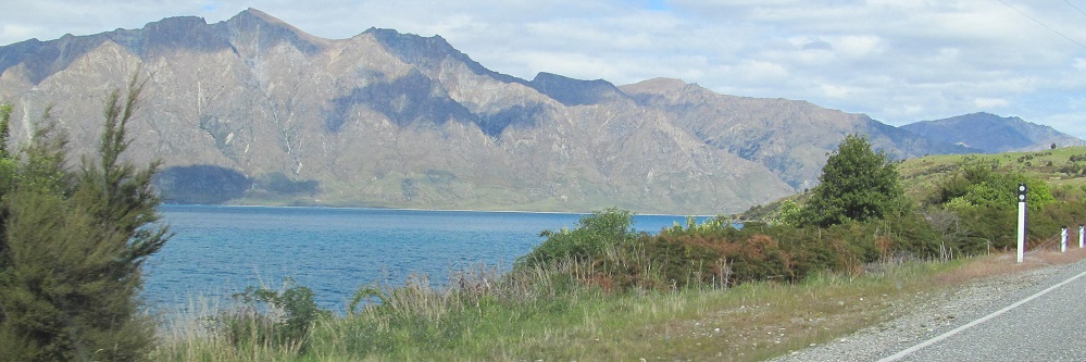
The lake continues to be scenic, and the cliffs of Mt. Burke continue to be rocky.
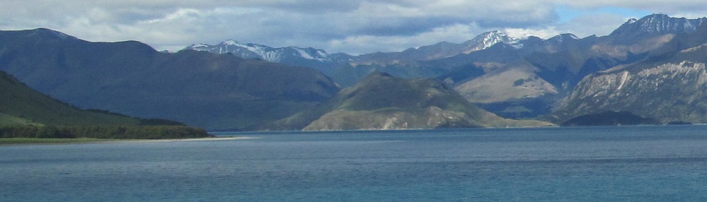
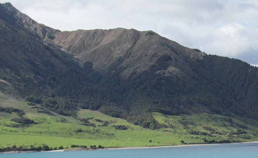
The last 4 photos are a kind of panorama from left to right. Don't worry, I'm not going to go crazy about panoramas here like I did on the Lake Wanaka pages.
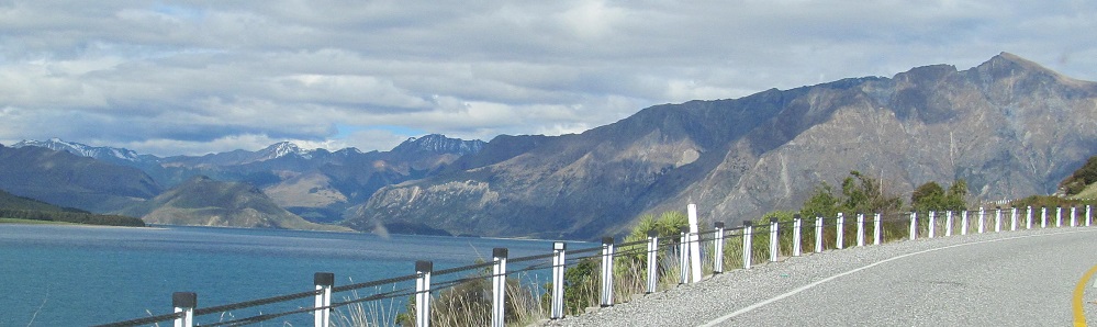
Turned all the way around back where I came from, you can see Highway 6 ascend The Neck and the Minaret Peaks rising behind Lake Wanaka.
A second sort-of panorama from east to northwest.
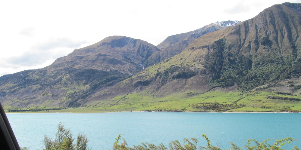
The water is deep azure to the south and light cerulean to the north, a function of sun angles. They're all much richer colours than in the USA.
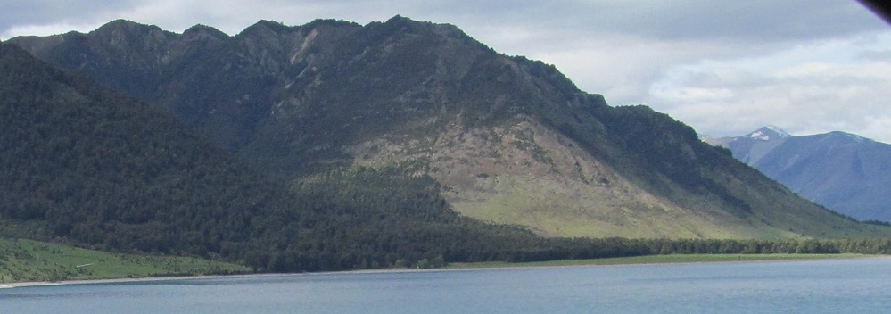
Panorama #3. I won't hide it, I'm still doing these.
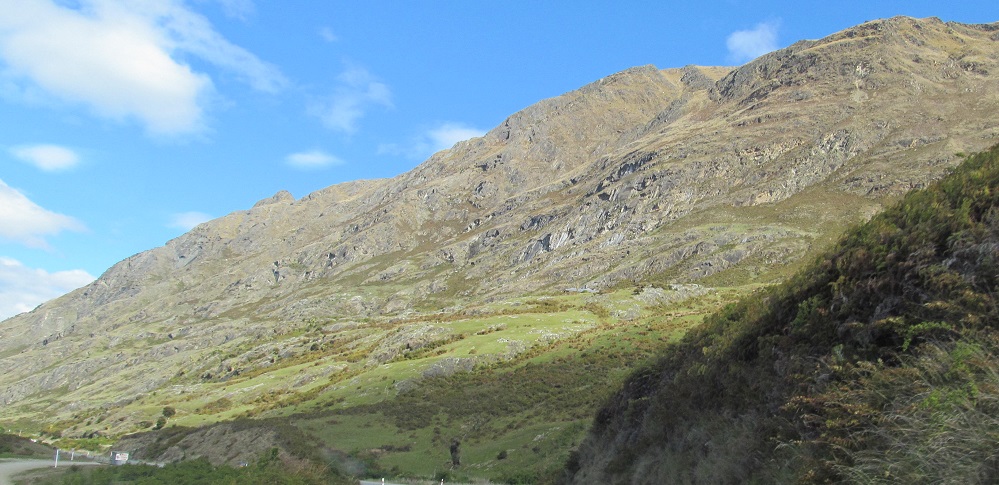
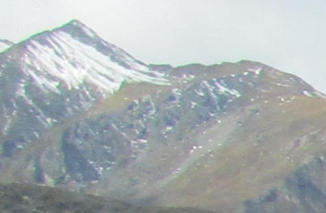
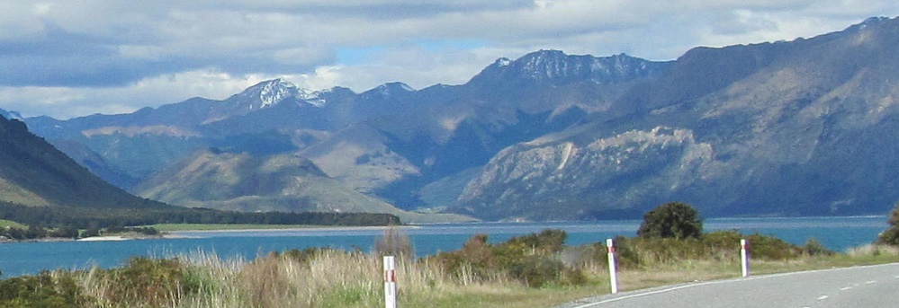
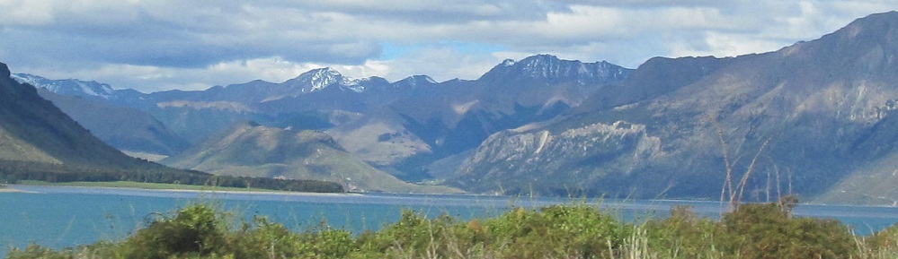
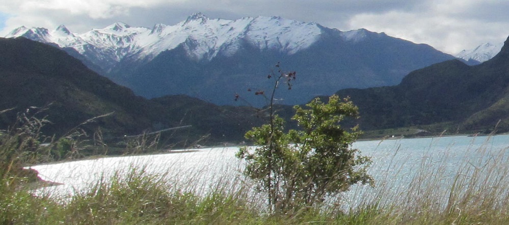
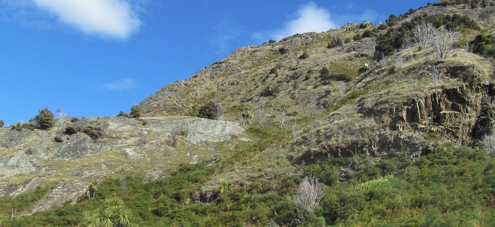
I want to say this is Corner Peak, but I only really want to say that because the alternative is Breast Hill.
Continue south along Lake Ha̅wea
Back north to Lake Wanaka
Back to Lake Ha̅wea main page
More Non-Roads along Highway 6
Back to New Zealand Non-Roads
Back to Non-Roads main page