New South Wales - Mt. Lindesay Road
Mount Lindesay Road
All photos were taken heading east.
First of all, you have no idea how hard it is to photograph a kangaroo in the wild. They're mostly out at night for the purpose of denting passenger vehicles and becoming roadkill. During the day, they love to jump as soon as they hear your camera, like a cat. They tend to hang out in tall grass. And they never box each other when it's convenient for you. So with all of that out of the way, this is unquestionably my best roo photo from 2 weeks in Oz. Don't ask about koalas. I saw one dead and no live koalas the entire time.


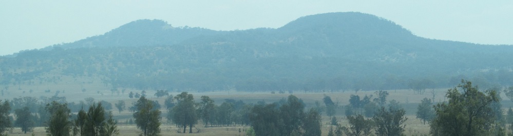
After passing Tooloom Road, I come up to the Acacia Creek Ridge on my left. Mt. McMahon is the peak behind the long bluff (which is part of the ridge), and Wilsons Peak is in the hazy far distance.


One bluff over, now Mt. McMahon is the shadowy shape to the right, and you can see the width of the Ridge leading into this bluff over the left/right photo pair.


The first photo is Mt. Clunie to the north, and then we have Edinburgh Castle to the east. Yes, that's a mountain, not a castle, but it's called that. It's an 893 metre remnant of the old Focal Peak volcano, and we're talking millions of years since that erupted.
Continue east on Summerland Way (Highway B91)
Mt. Lindesay Rd. road photos
Back to New South Wales Non-Roads
Back to Non-Roads main page