Newfoundland - Nova Scotia Ferries - Island Photos
Newfoundland-Nova Scotia ferries: Island photos
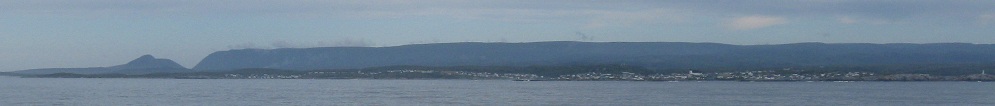
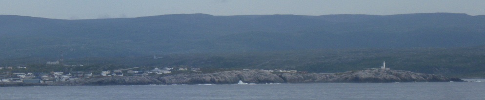
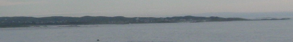
First, the ferry from North Sydney to Port-aux-Basques, where I arrived in the early morning. Newfoundland seems to always be cloudy even when the sky around it is clear. The second and third photos are closeups of either side of the first, showing a lighthouse beckoning.
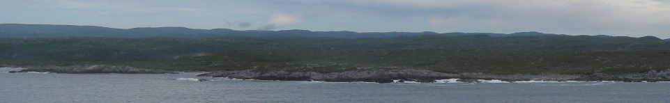
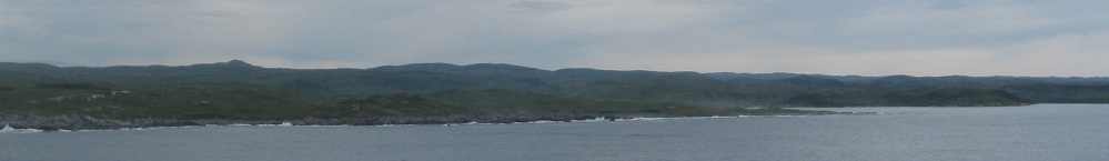
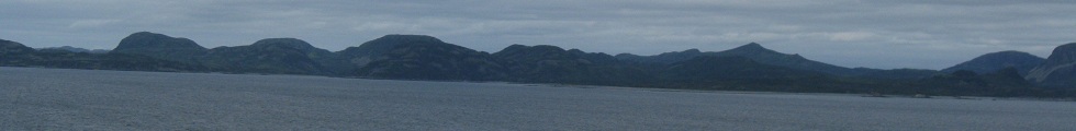
As I approach the shore, a panorama of rugged landscape from west to east.
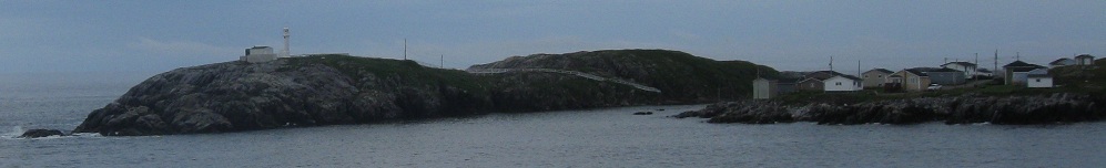
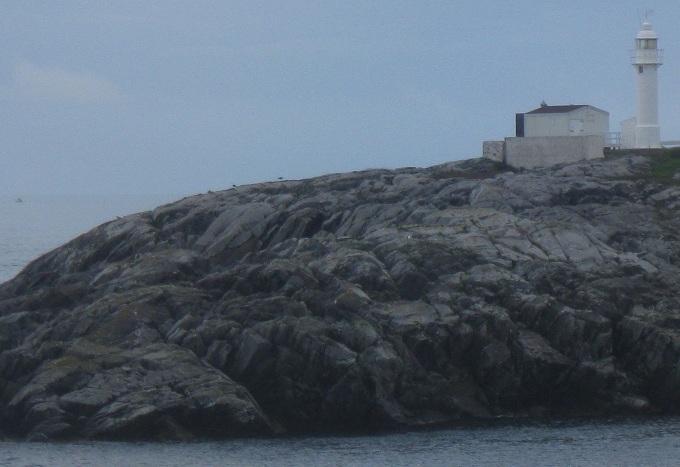
Here's the same lighthouse as before, with the ferry approach taking me around the right side.
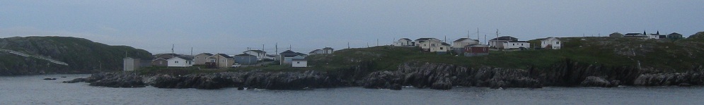
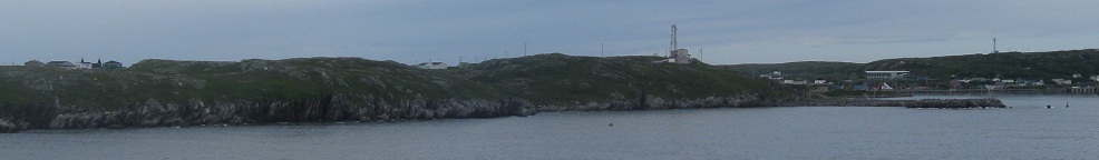
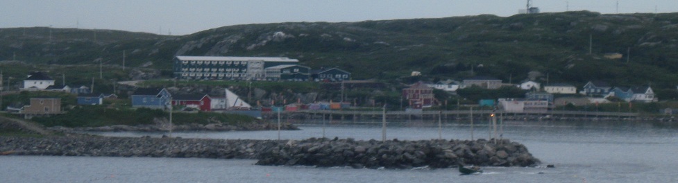
Welcome to a new province! Just from this scenery and the rest of the coastal photos on this page, you can tell it's unlike any other province. To be even more amazed, click the Trans-Canada Highway link at bottom and journey through the center of the island.
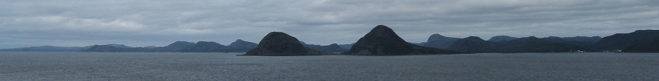
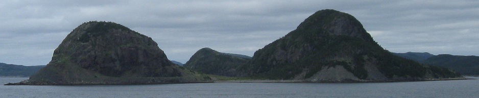
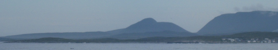
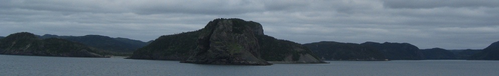
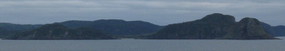
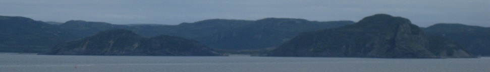
It's hard to miss these twin peaks in the middle of Placentia Harbour. The third photo (after the two scoops) is to the left, and the last photo is to the right. The two mountains are often photographed by ferrygoers on the long ferry from Argentia to North Sydney, perhaps fascinated with their melon shapes.
THEY LOOK LIKE BOOBS.
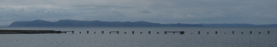
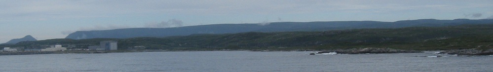
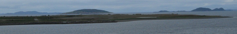
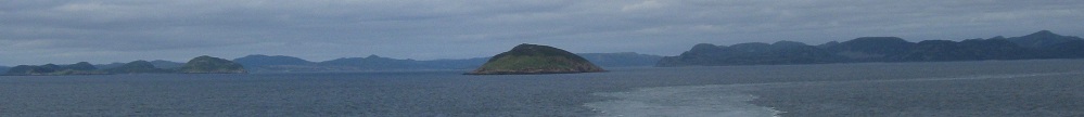
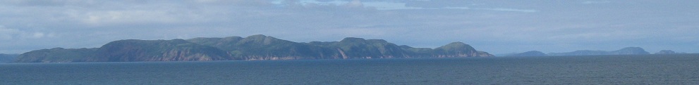
As the ferry clears an old dock and maneuvers into more open water, I'm intrigued by an island that seems to be a microcosm of the mainland. Rocky cliffs, light scrub, and what appear to be darker pine trees on top. Throw in a handful of moose and caribou and call it Newnewfoundlandland.
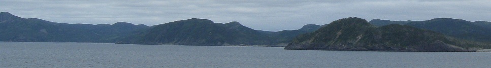
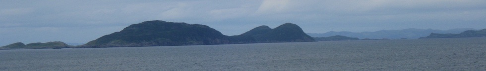
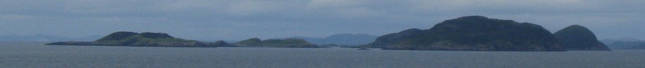
There's less and less of a need to caption as the ferry chugs out of the harbor, because I'm not going to try to identify all the islets and "mainland" rock formations or even which way I was facing. They are what they are, pretty and rocky scenery. By the way, these photos were taken within five minutes of my first views of that intriguing island. More on that in a second.
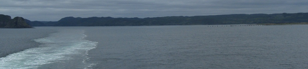
But first, have a look east at Newfoundland. It's a long, slow goodbye that lasts beyond sundown before the ferry gets far enough west to start crossing the Atlantic Ocean. (Just a small piece, mind you, but it's cool to say and think about.) You can even look south at the path of the ferry leaving Argentia, curling northward out of the cove to the right but not yet turning west.
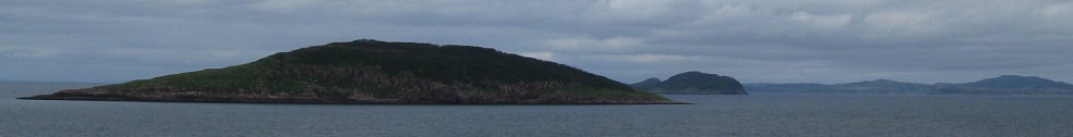
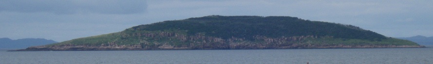
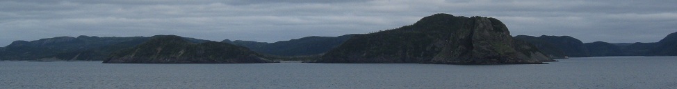
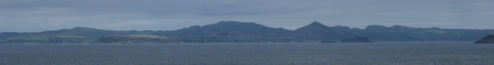
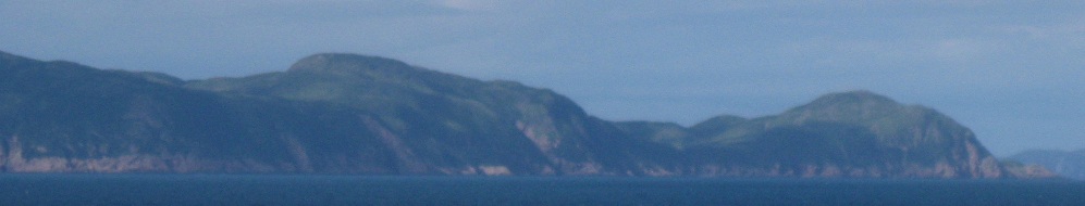
Okay, here's that island again. I believe it's Fox Island. The ferry takes a long, slow curve that maximized my exposure to its south side, staying near the coast of the Burin Peninsula until the French islands of St.-Pierre et Miquelon. Not French-speaking. French-owned. They look like a mix of Lyons and St. John's.

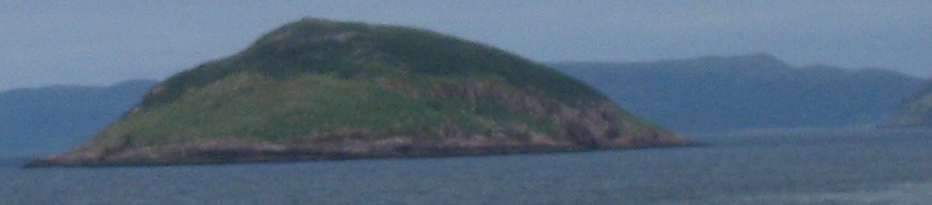
There's that westward curve, with a parting view back east of Fox Island once more. Have you ever liked something so much you couldn't bear to part with it even after you knew it was gone? I don't really feel that way about this uninhabited island I never visited, but it's cute.
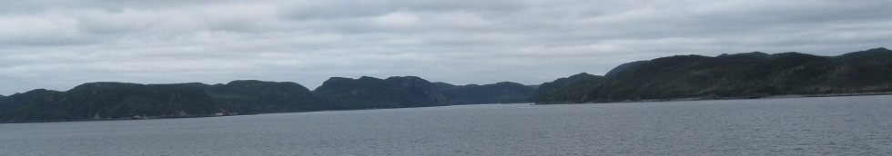
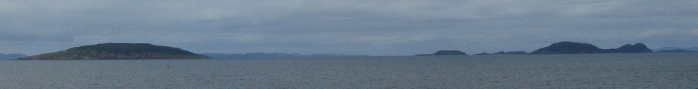
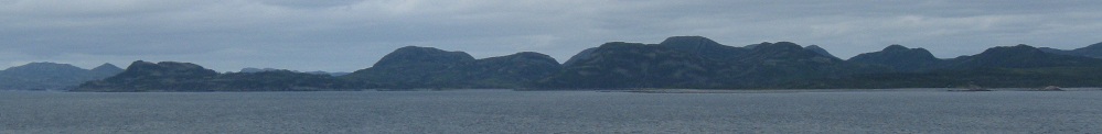
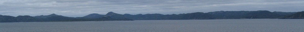
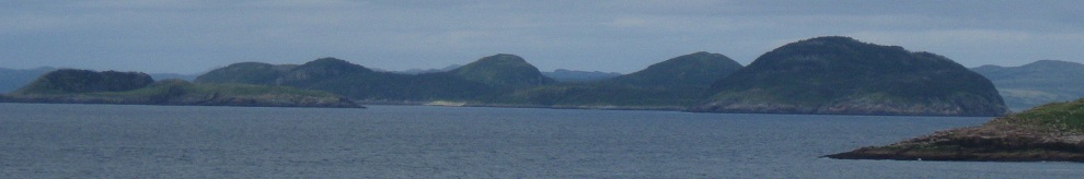
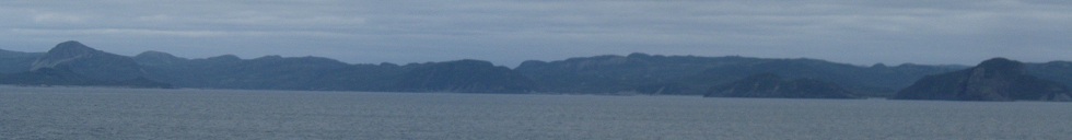
20 minutes later, this is likely Red Island, in front of the much longer Merasheen Island. After these islands, the ship reaches Burin Peninsula and I begin my sunset photos.
Continue on to sunset
Back to ferry main page
Off the ferry to Trans-Canada Highway 1 in Port-aux-Basques
Back to Newfoundland Non-Roads
Back to Non-Roads main page