Montana - US Route 2 - E. Glacier Park-Nyack
US Route 2, East Glacier Park Village to Nyack
All photos were taken heading west.
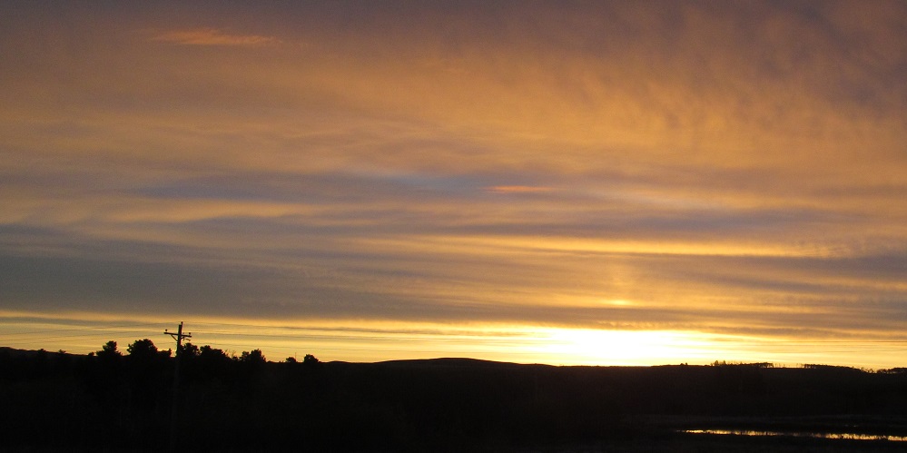
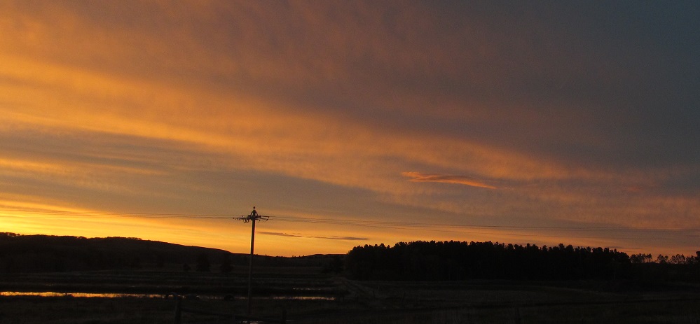
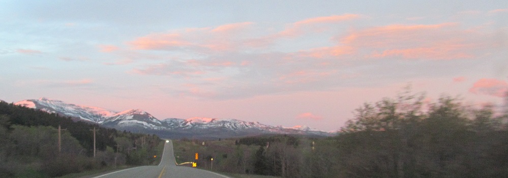
Route 2 heads cardinal south as it leaves East Glacier Park Village, so I can look left to watch the sun rise.
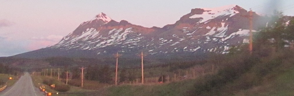
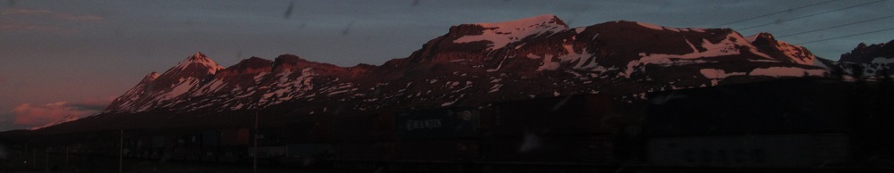
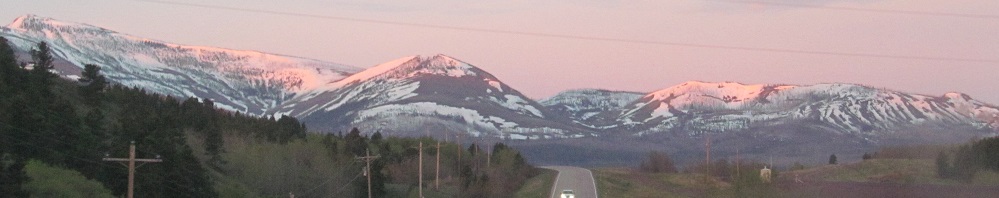
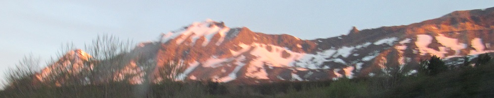
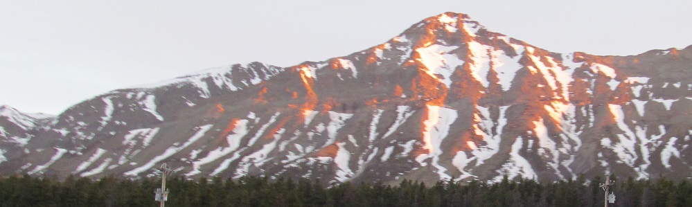
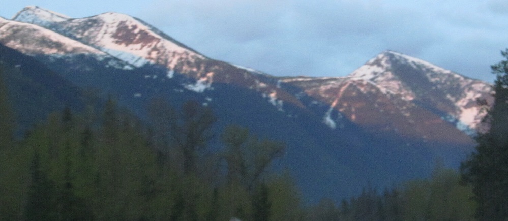
From left to right, Red Crow, Calf Robe, and Dancing Lady (formerly Squaw) Mountains.
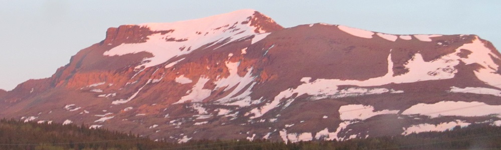
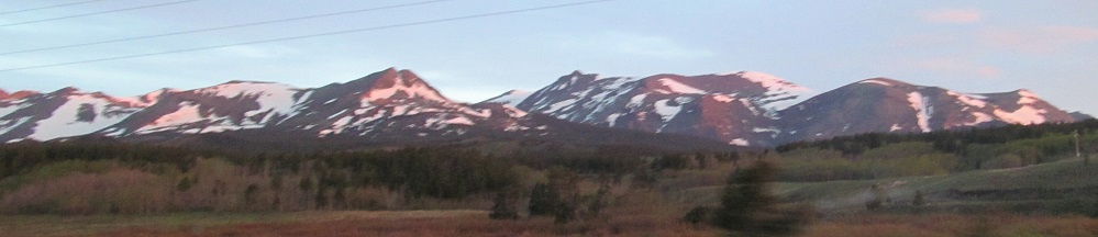
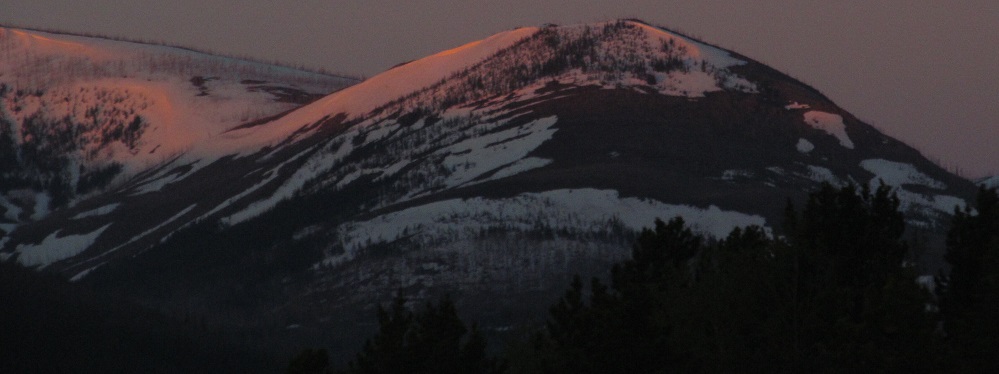
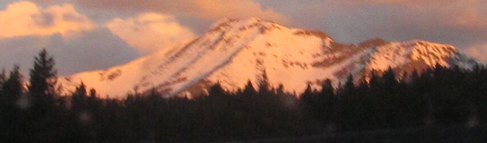
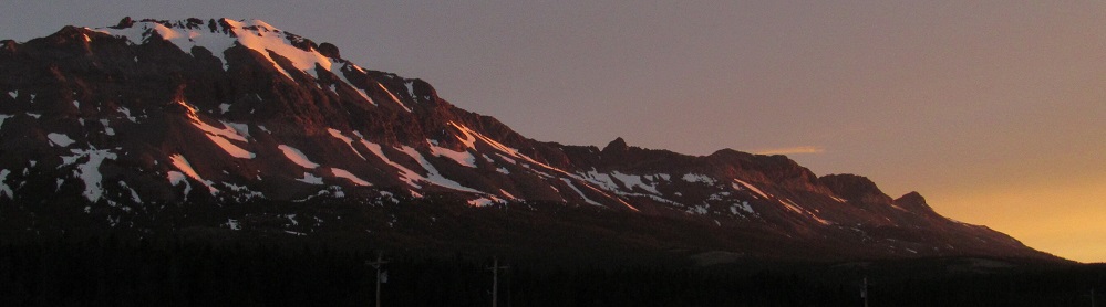
More Red Crow and Calf Robe.
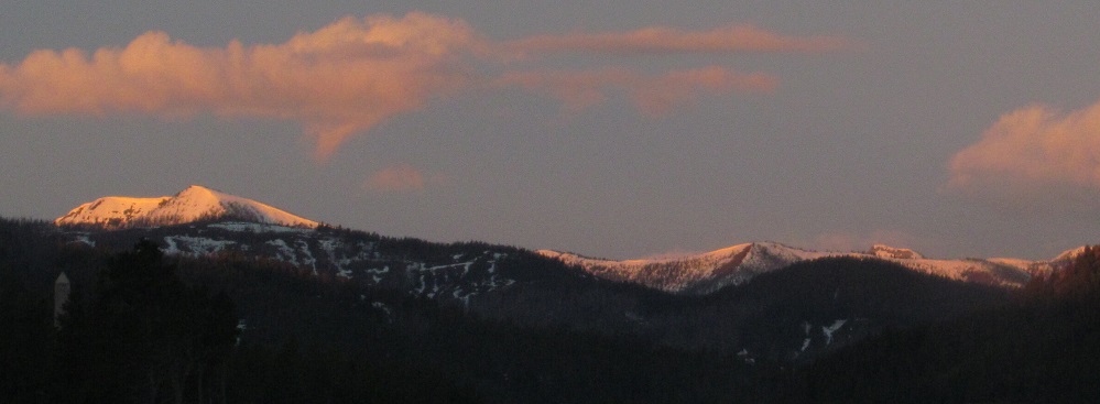
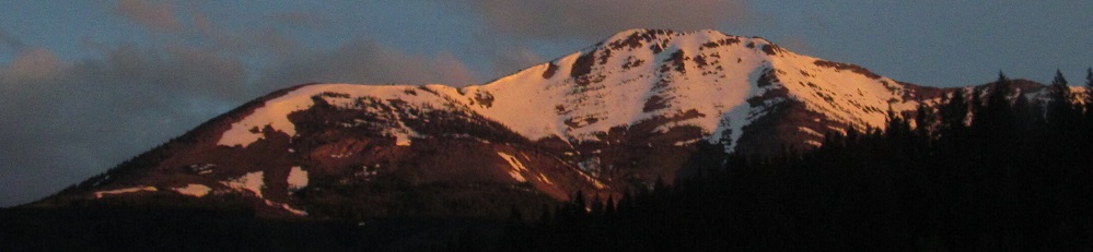
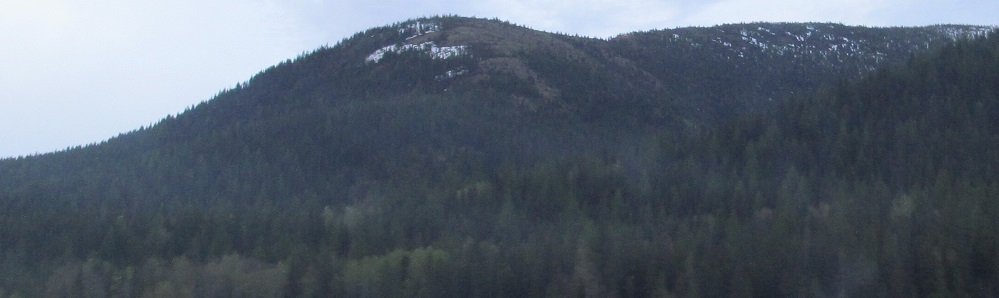
Next up is Elkcalf Mountain.
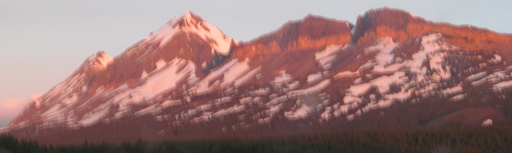
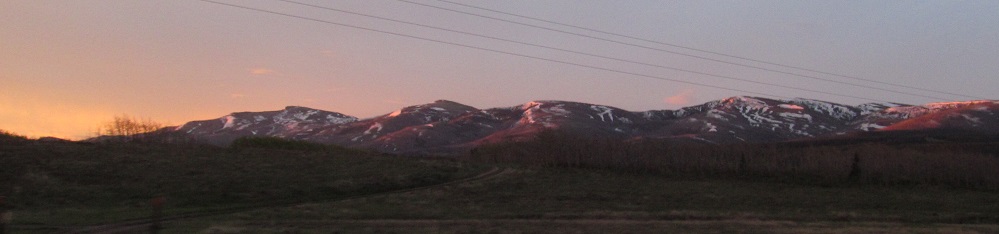
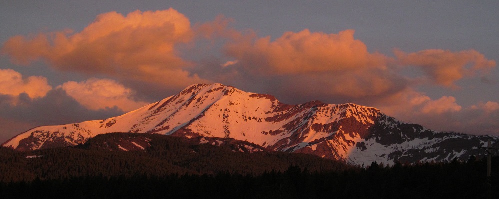
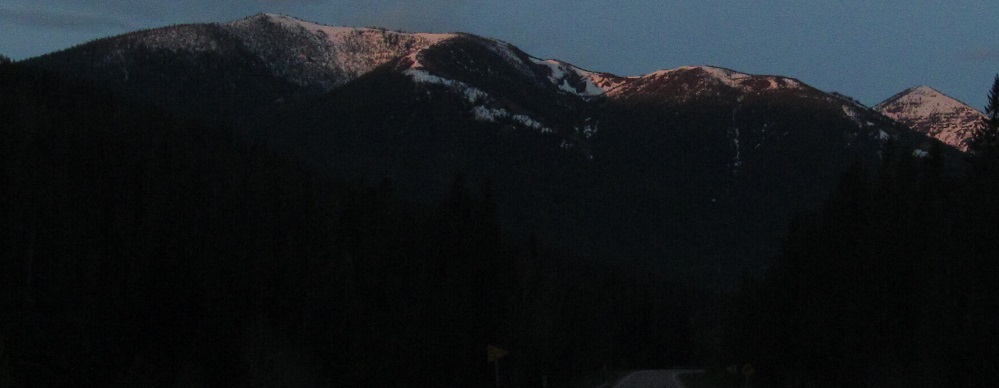
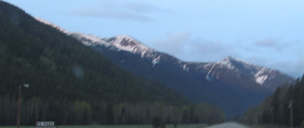
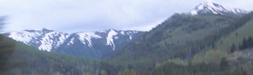
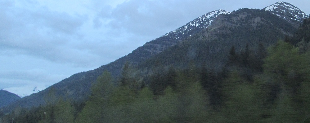
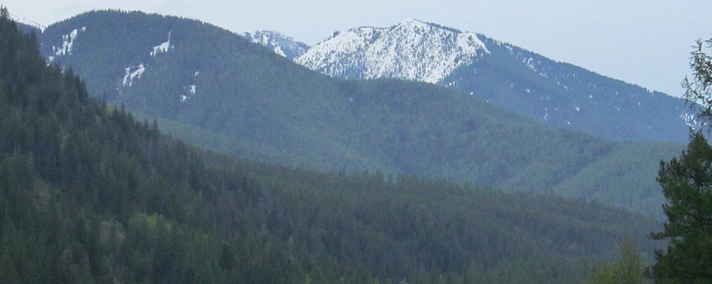
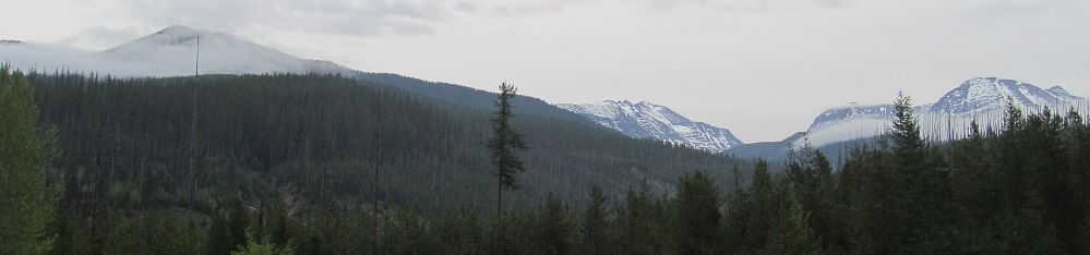
From left to right, Elk, Little Dog, and Summit Mountains, all part of the same ridge that started with Calf Robe Mountain.
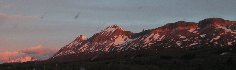
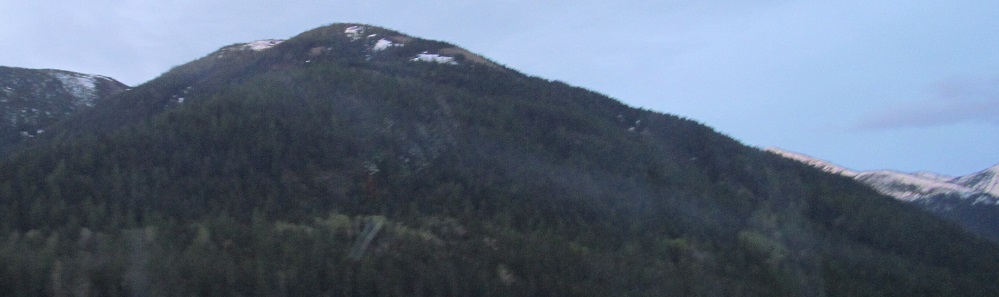
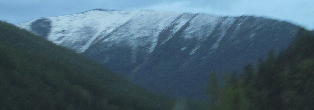
More of Little Dog and Elk Mountains.
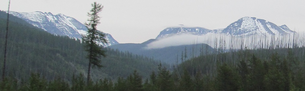
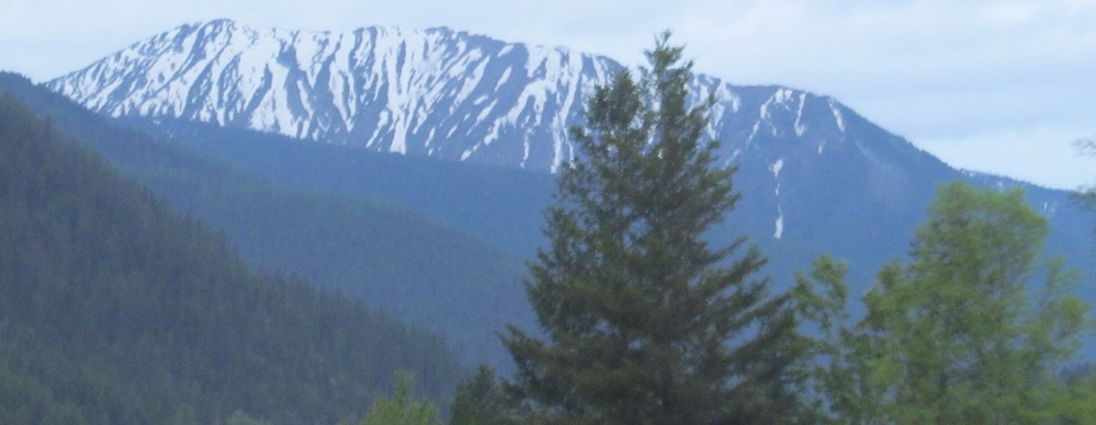
Upon reaching Maria's Pass and the Continental Divide, I pan from Baldhead Mountain (ahead left) to Summit Mountain (back right).
Alongside Elk Mountain to the north, and the remainder of photos look ahead to Mt. Furlong, with Devils Hump featuring prominently on its left side in the 2nd photo.
Left and right photos, looking southeast to my left.
One glimpse of Mt. Shields to my right.
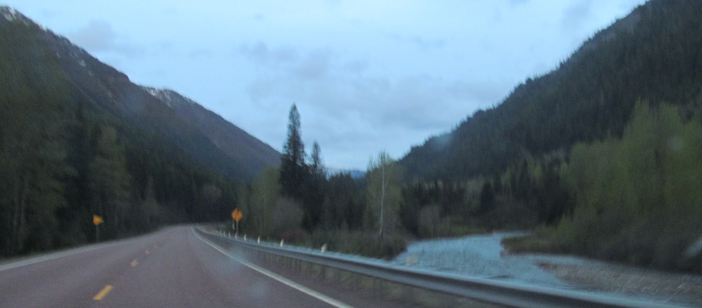
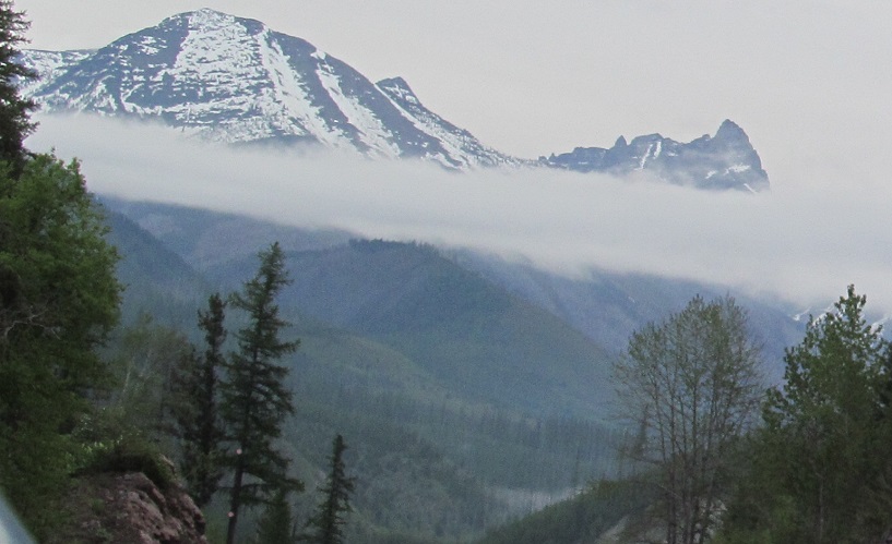
Following Bear Creek around Mt. Furlong to a glimpse of Mt. Cameahwait behind that and Java Mountain. Did it come yet? Yeah it came... ah, wait.
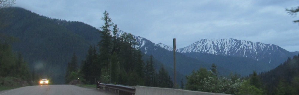
Running Rabbit Mountain (1st photo) is on my right and Java Mountain, in front of Snowshed Mountain (last photo), is straight ahead as US Route 2 turns from west to north and follows Bear Creek into Middle Fork Flathead River.
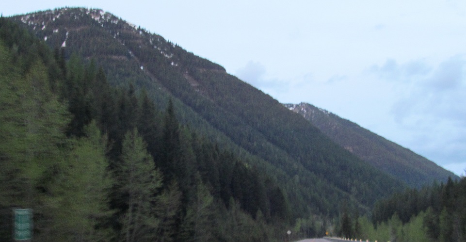
Rampage and Scalplock Mountains become visible behind the slope of Running Rabbit Mountain.
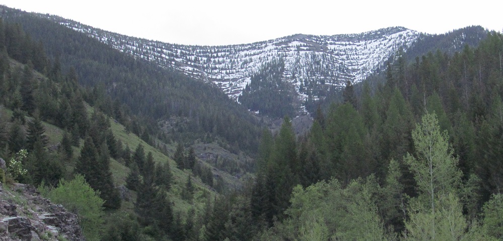
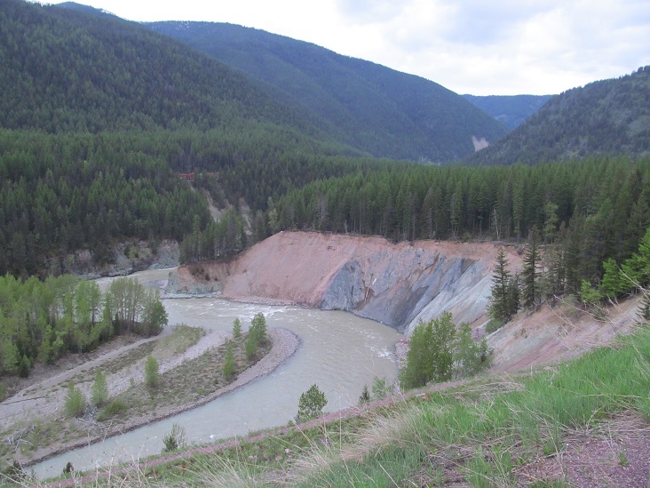
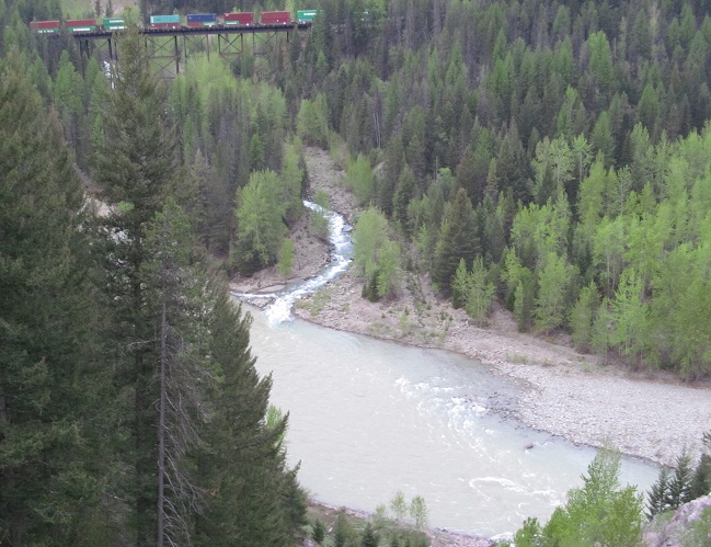
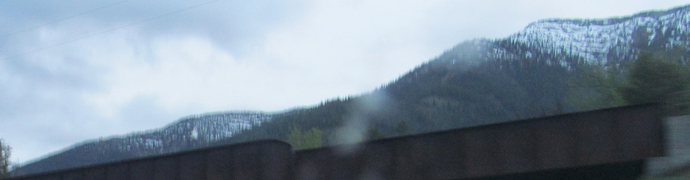
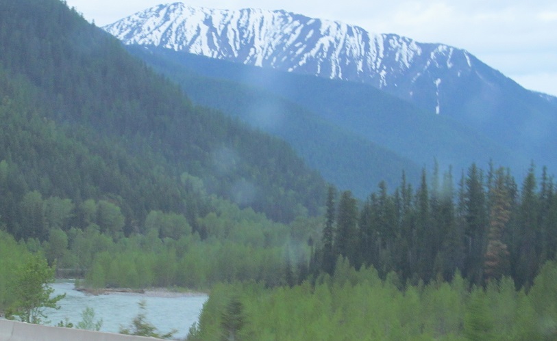
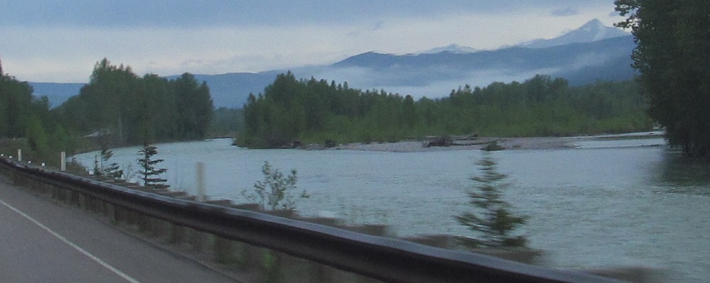
These were taken from Goat Lick Overlook. Pardon my uncertainty, but I believe they pan from a pocket ridge of Essex Mountain in the northwest to Mt. Furlong and, behind it, Vinegar Mountain in the south. The 2nd and 4th photos look northwest and south along Middle Fork Flathead River. I believe the 3rd photo is a ridge between Mounts Felix and Cameahwait to the west.
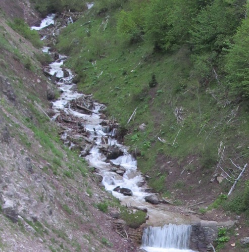
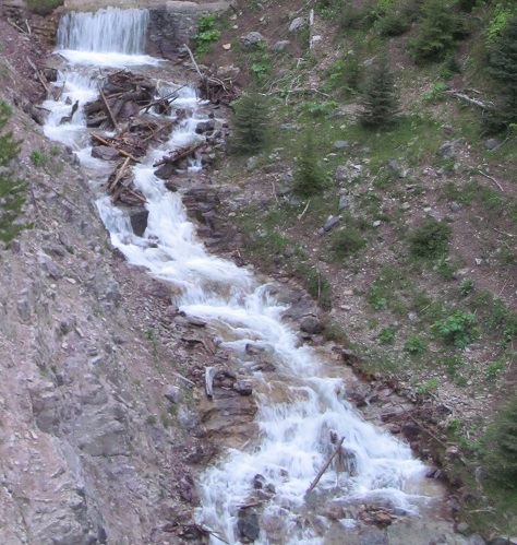
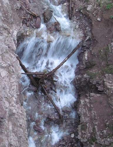
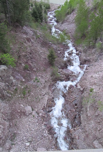
Snowslide Gulch tumbles down Running Rabbit Mountain into the Middle Fork Flathead.
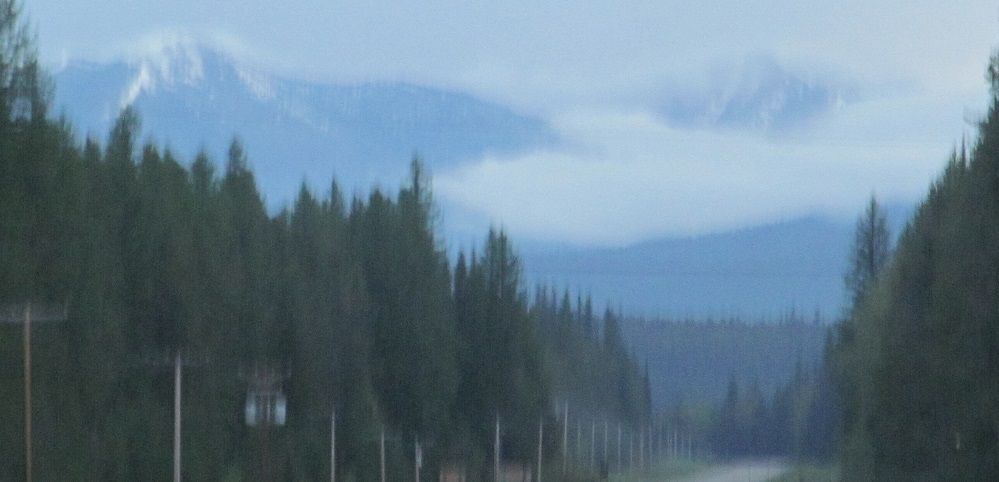
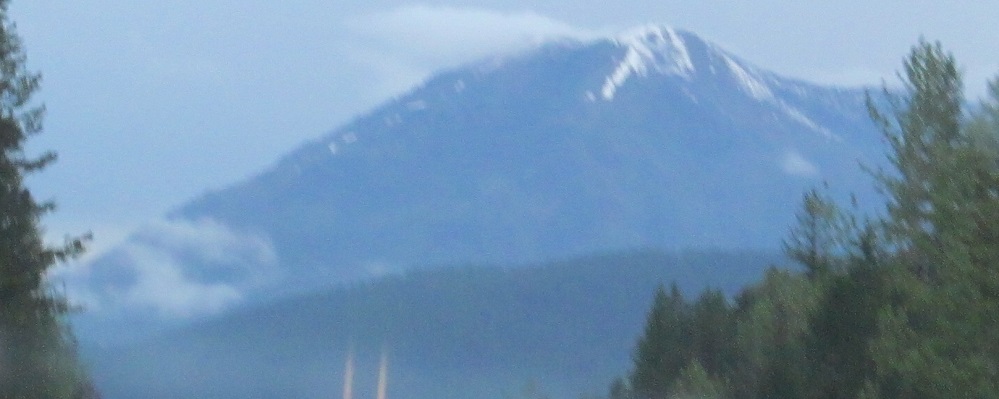
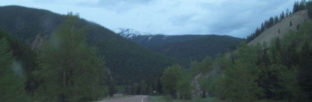
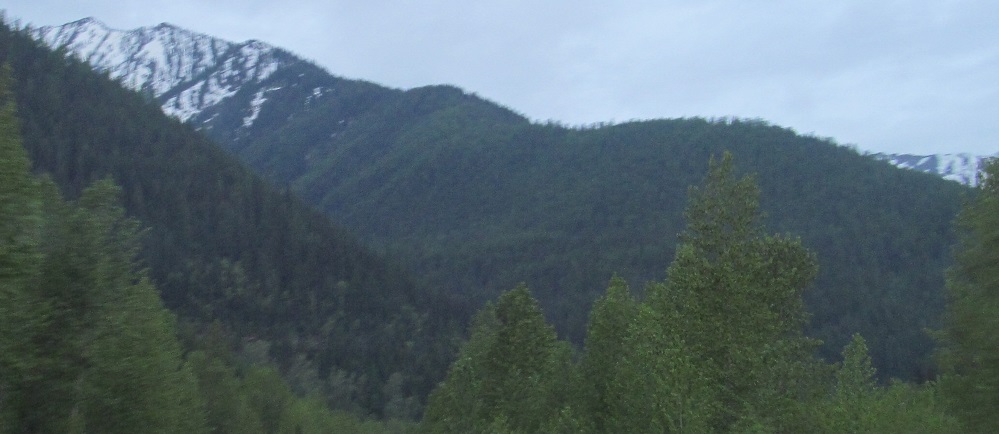
Let us continue, 5 minutes at a time, toward Loneman Mountain, backed by a shadowy Walton Mountain in the 1st photo.
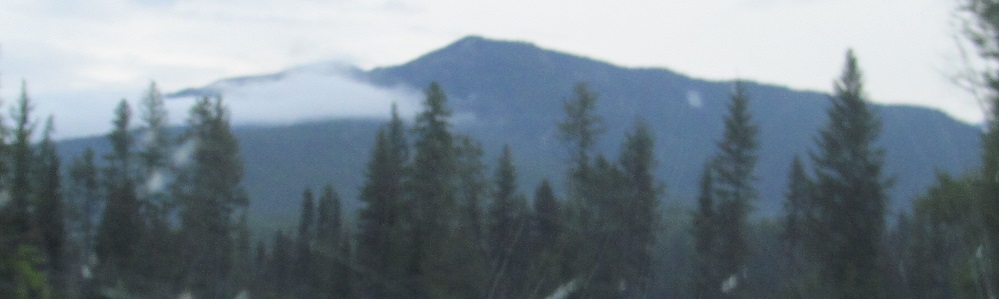
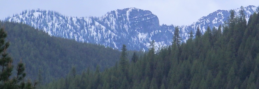
I believe these photos start at Threetops Mountain to my north and pan past Eaglehead Mountain to Peril Peak.
As US Route 2 rounds a sharp curve to the west, Wolftail Mountain and Cloudcroft Peaks are behind me to the east.
Triangle Peak, Triangle Peak, does everything a snowy ridge can. It's behind the foothills of Mt. Penrose, which you can see in the last photo.
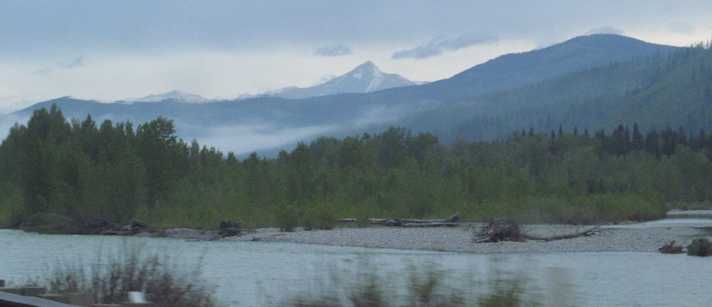
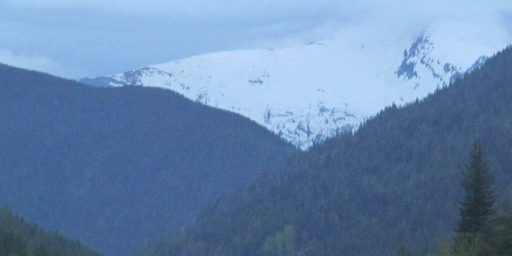
Continuing along Middle Fork Flathead River toward Mt. Brown (foreground), Mt. Vaught (the triangle in back), and Stanton Mountain (behind Mt. Vaught and to its left).
Continue west on US Route 2
Back east on US Route 2
Back to US Route 2 main page
Back to Montana Non-Roads
Back to Non-Roads main page