Montana - US Route 2 - Cut Bank-E. Glacier Park
US Route 2, Cut Bank to East Glacier Park Village
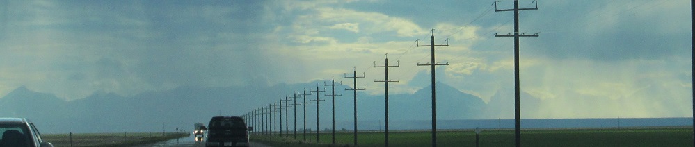
All photos were taken heading west.
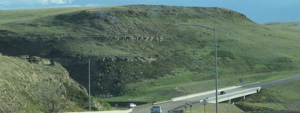
Leaving Cut Bank, about to cross Cut Bank Creek.
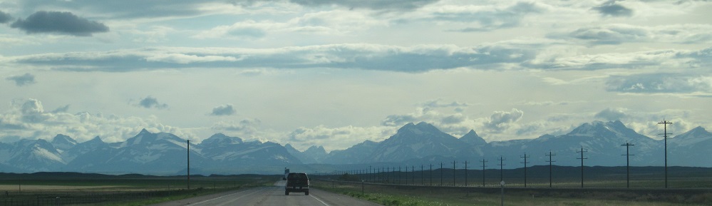
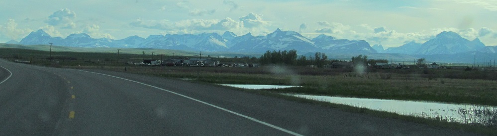
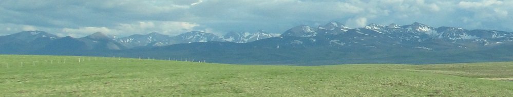
You'll be seeing a lot of the Rockies on this page, since the end of this page (East Glacier Park Village) is the entry to the mountains for US Route 2.
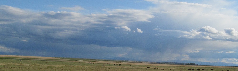
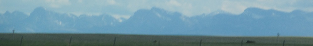
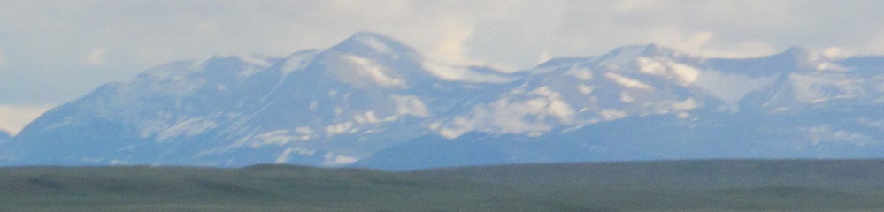
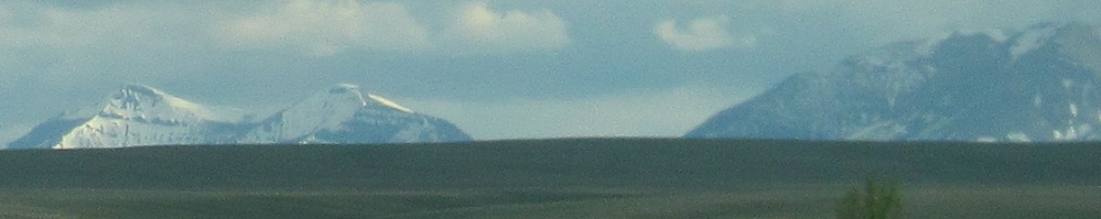
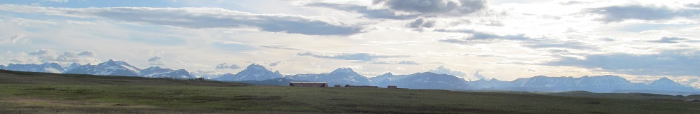
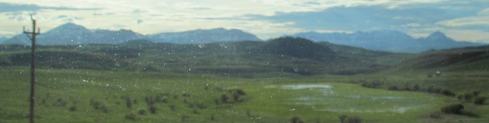
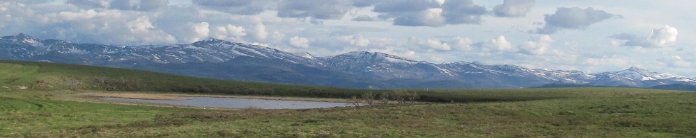
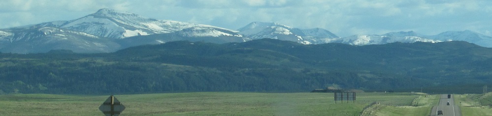
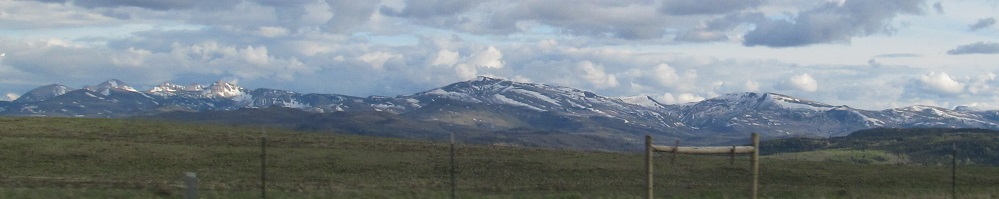
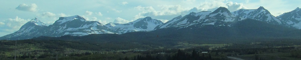
The section of the Rockies to the south is known as the Sawtooth Range.
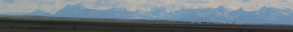
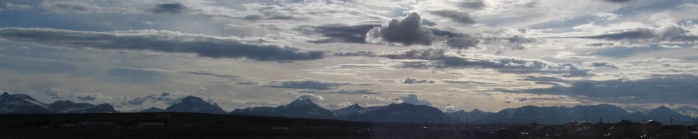
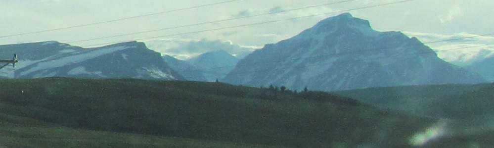
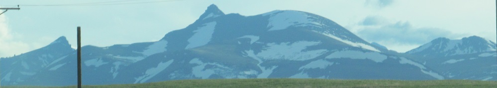
4 photos panning from left to right, then after a little rain and another photo, another set of 4 from left to right.
The first and last photos bracket a third panoramic set of 4.
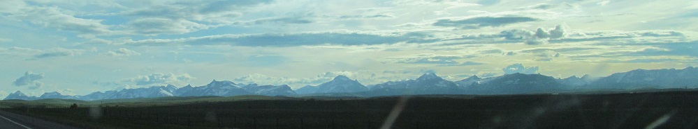
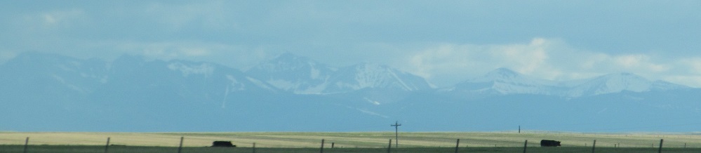
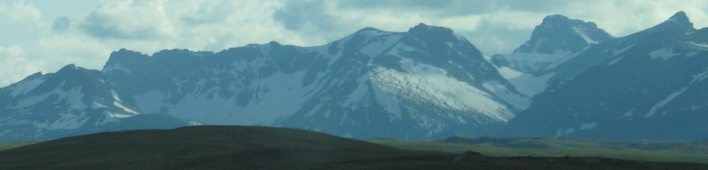
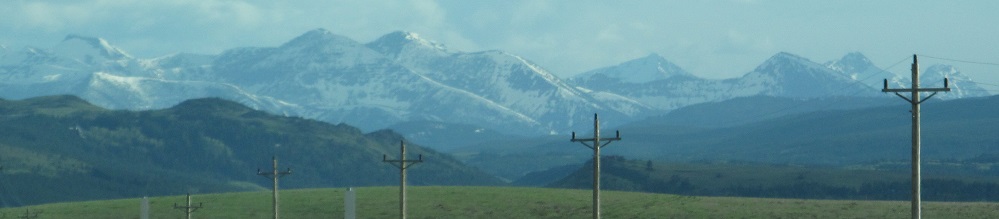
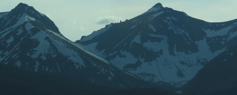
The 2nd and 3rd photos are closeups of some mountains in the first. Let's start naming these: Yellow Mountain on the left and Chief Mountain on the right, looking northwest in the last photo almost to Canada. You won't see these again, since the highway generally isn't running northwest except where it approaches Browning.
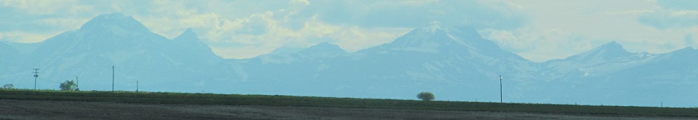
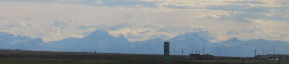
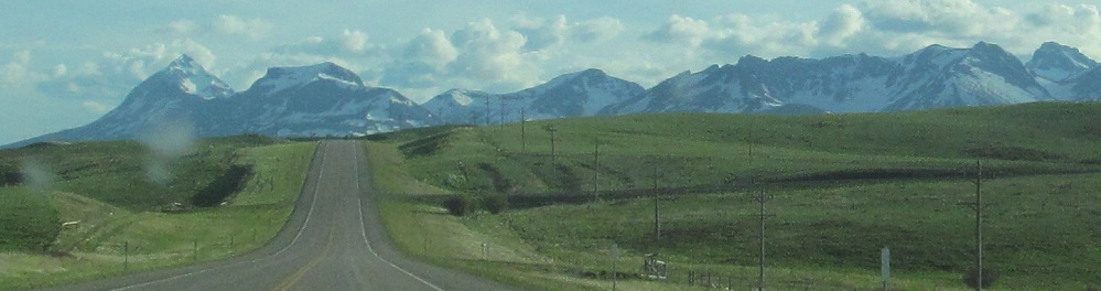
More views entering Browning on US Routes 2/89.
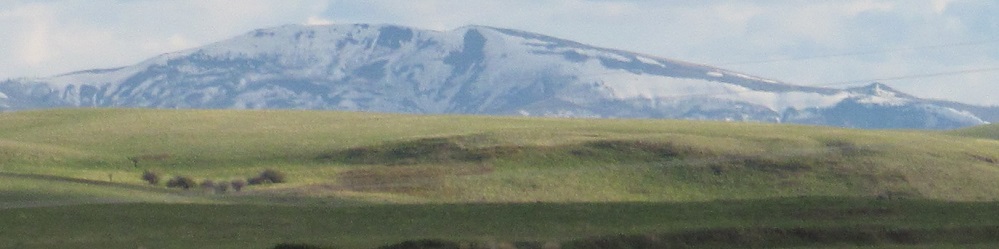
Now on the west side of Browning, the center photo is much the same as the first one on the other side of town.
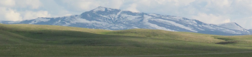
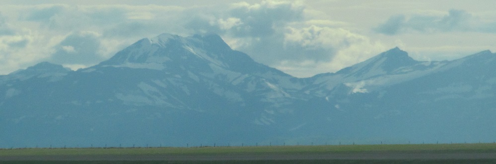
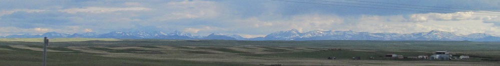
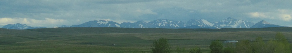
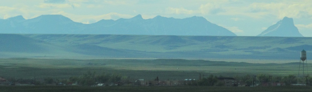
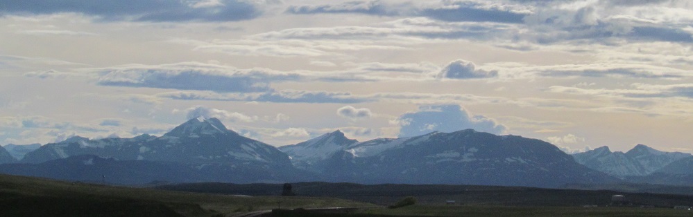
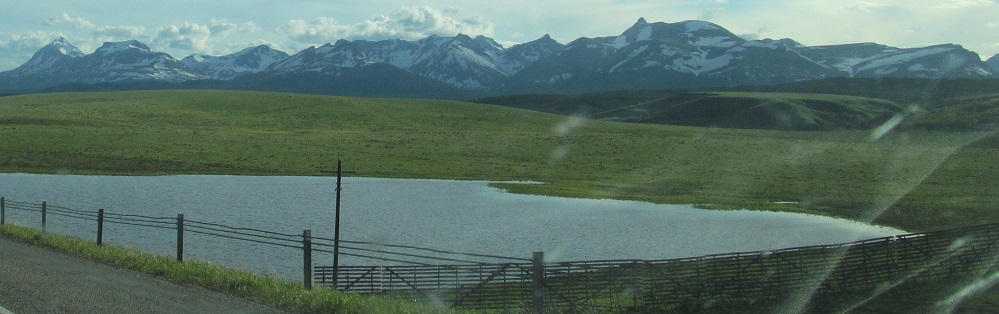
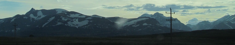
Looking south, these disconnected mountains are Dome Crag and Mt. Baldy.
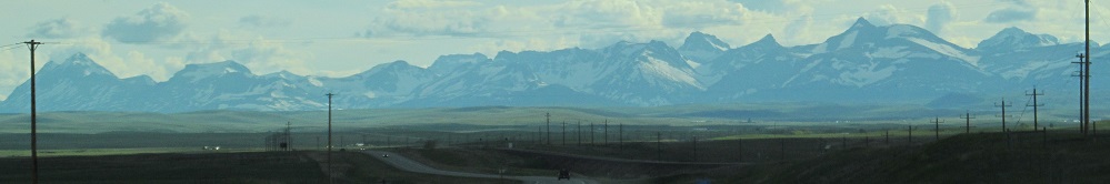
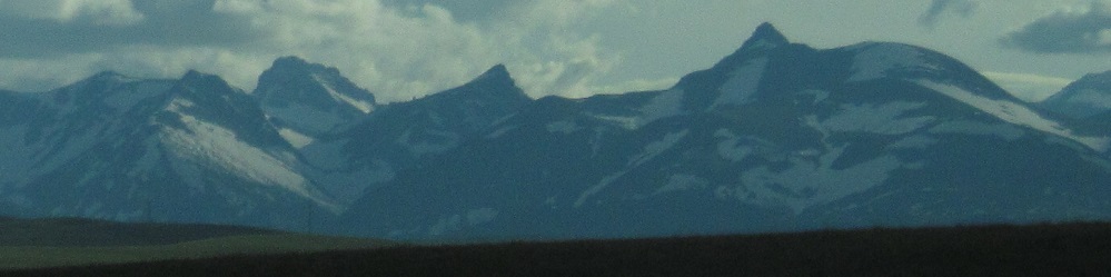
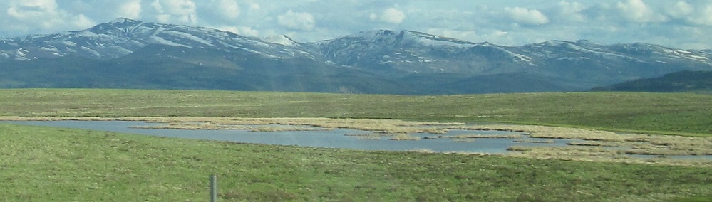
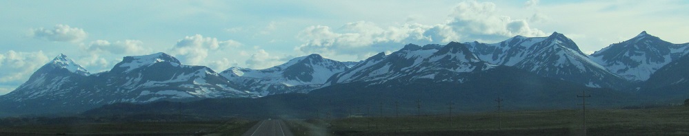
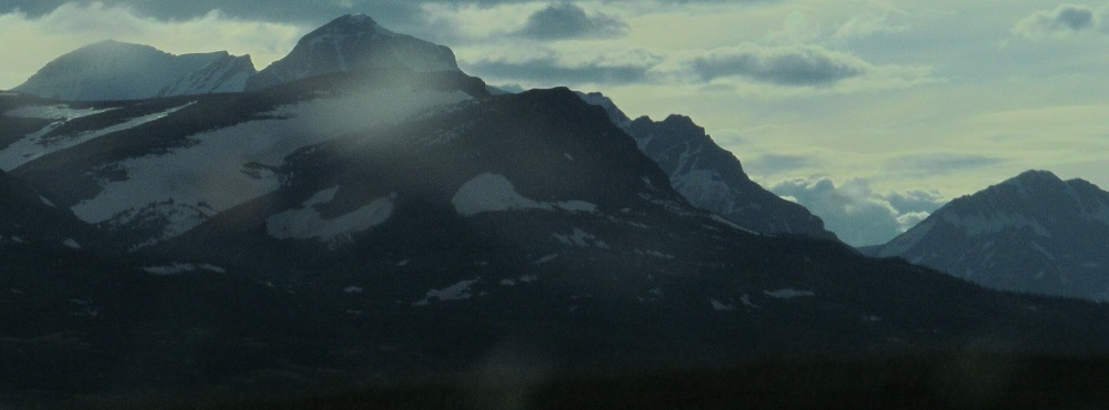
Panning from left to right, by the third photo we're looking at Rising Wolf Mountain, Spot Mountain, and (taller peak in back) Red Mountain. The smaller peaks to the back right are Eagle Plume and Bad Marriage Mountains. The story behind the latter name is unfortunately bland, as it was named for Blackfoot leader Bad Married.
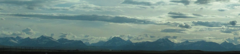
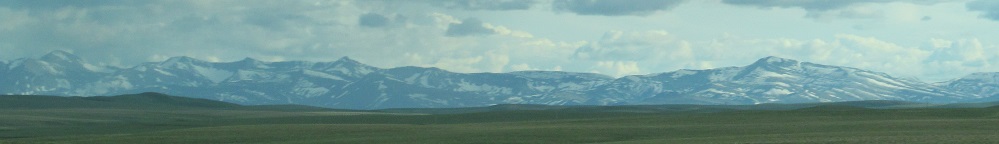
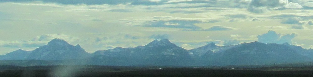
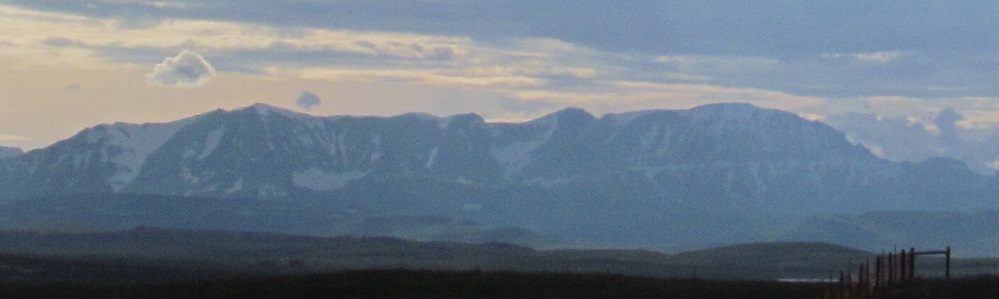
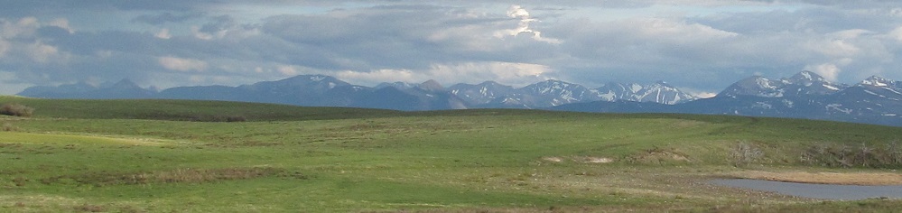
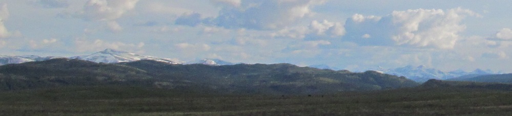
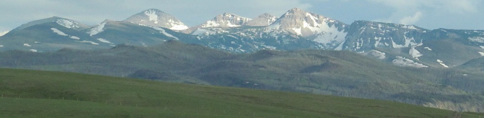
Another long pan from left to right, starting in the Sawtooth Range. I can tell you the last photo features Dancing Lady (née Squaw) Mountain, Bearhead Mountain, Mt. Ellsworth, Mt. Henry, and Bison Mountain starting from the left. Others may be visible here. Just call them the Rockies.
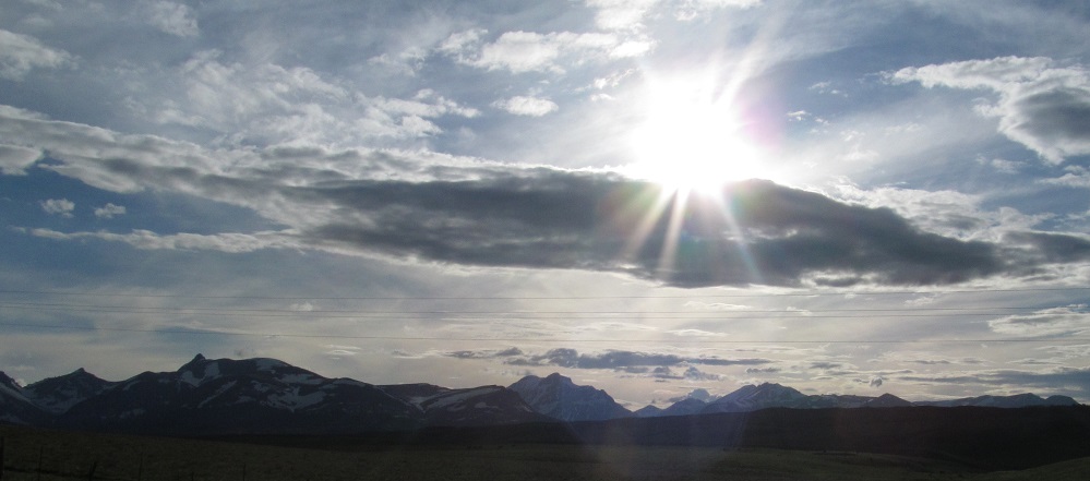
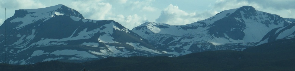
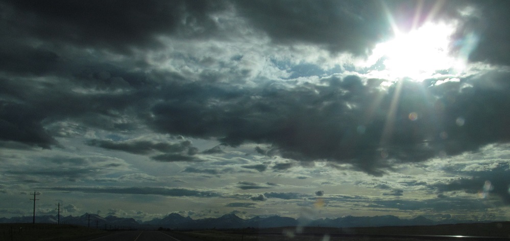
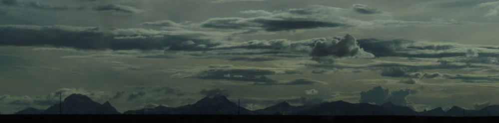
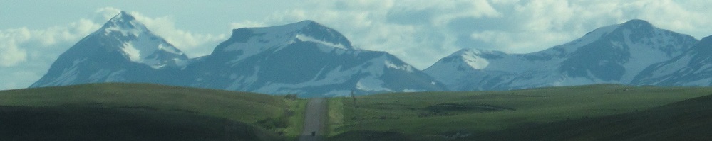
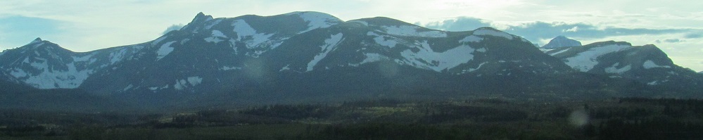
The first photo looks northwest into the setting sun. The others are yet another panorama. The 5th and 6th photos spotlight Calf Robe and Red Crow Mountains, and then Dancing Lady and Bearhead Mountains, out of the 4th photo.
From the Sawtooth Range (possibly Goat Mountain therein) panning to the northwest.
Continue west on US Route 2
Back east on US Route 2
Back to US Route 2 main page
Back to Montana Non-Roads
Back to Non-Roads main page