Minnesota - Hill Annex Mine - 2
Hill Annex Mine, Tour Leg 2
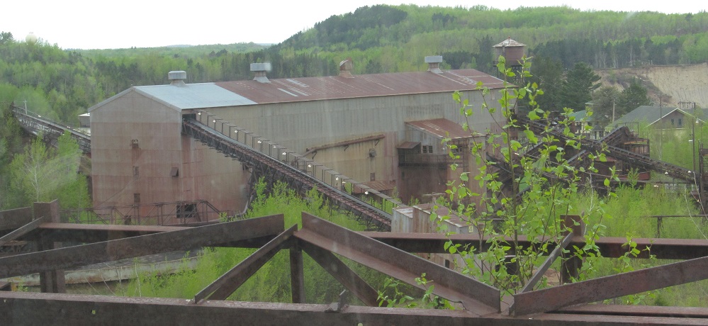
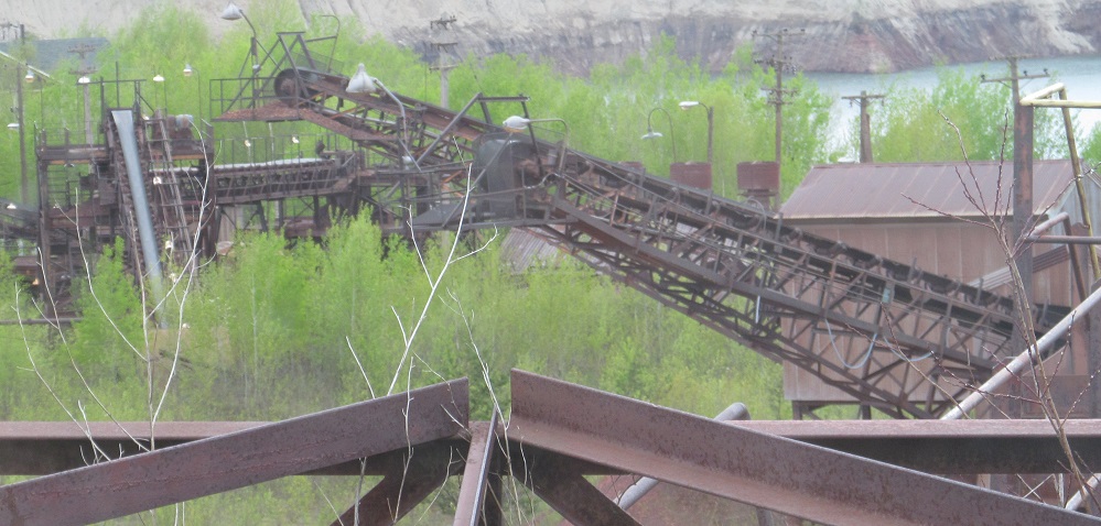

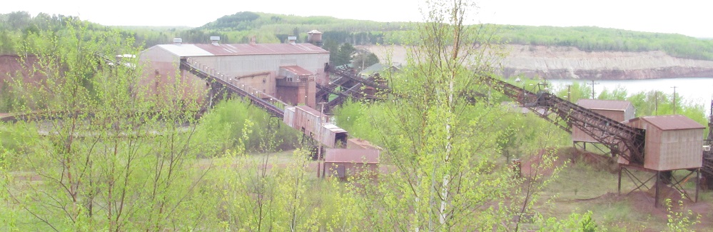
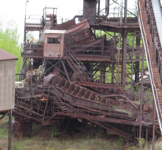
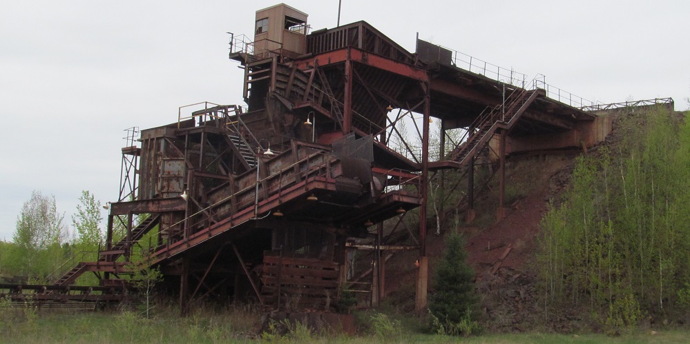
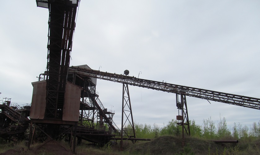
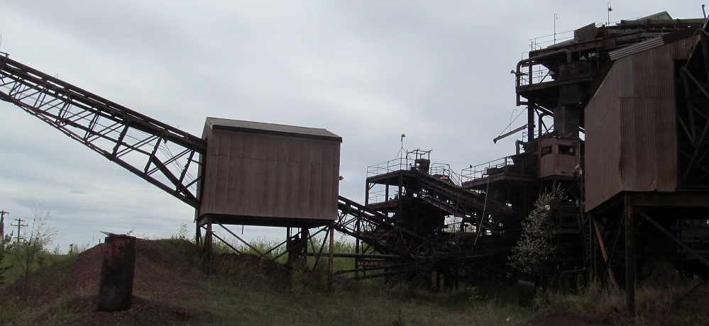
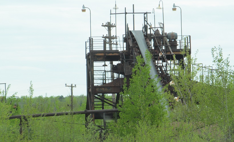
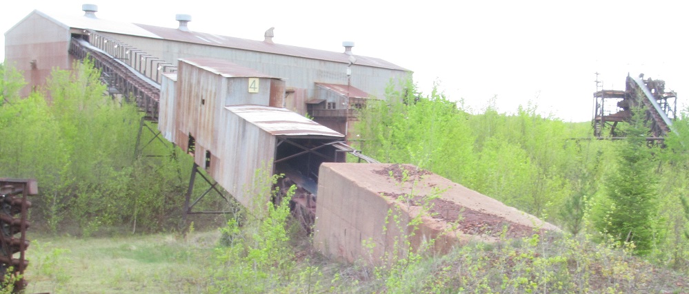
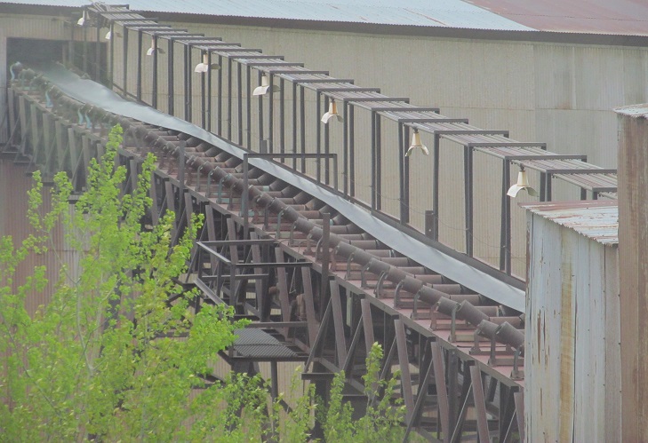
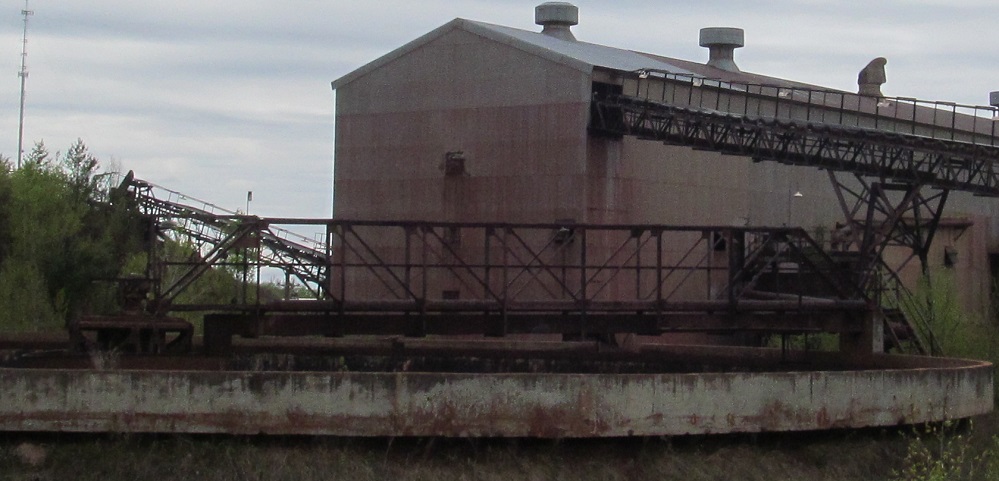
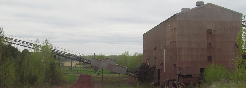
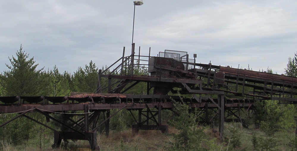
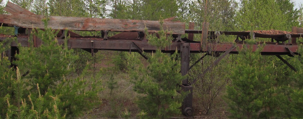
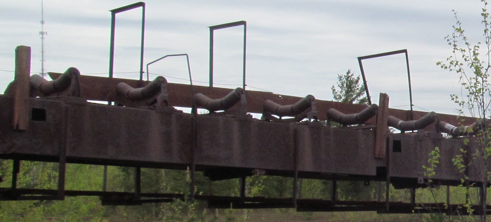
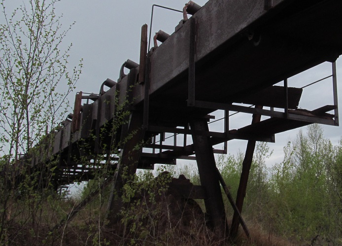
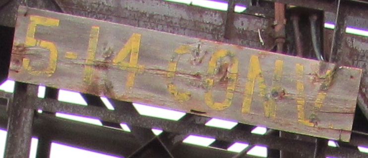
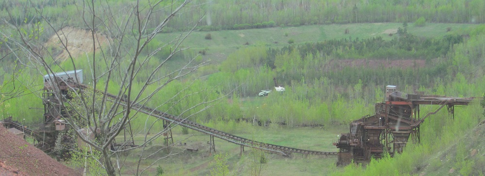
Leaving the overlook at the north side of the mine pit lake, the tour heads to the ore processing area. Once the pit of 'A' Pocket was no longer used for mining due to declining quality in the 1940s, trucks had to come all the way up the mine pit to this point to dump their rocks at the top of this contraption, known as the 'D' Pocket. As seen in the 5th photo, it would shake the ore down into an orderly line on the conveyor belt that then lifted it into the crusher (last photo, looking very foreboding). The crushed rock would be sorted into fines and coarses and sent on separate conveyors into the heavy media plant (3rd photo; these were taken in order as the tour progressed, not in the order of operations) to be sorted into ore and waste rock. The conveyor belt from 'A' pocket is still in place, visible in the back of the 5th photo.
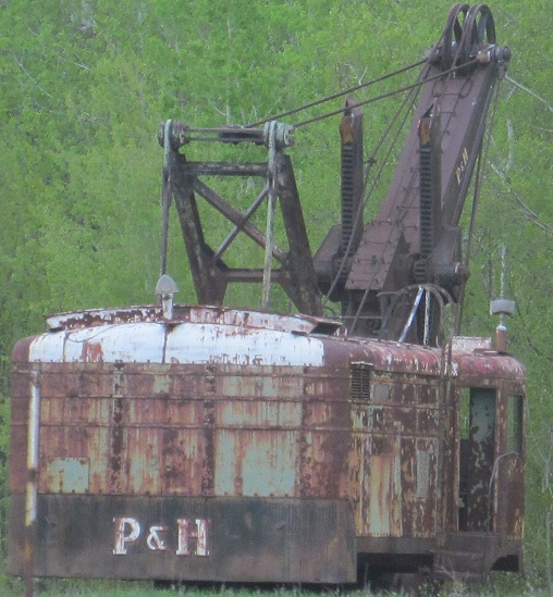
This guy hangs out between the waste rock piles. I had a photo from the 1st tour leg, but this came out better.
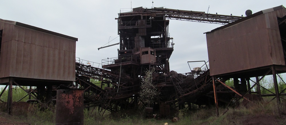
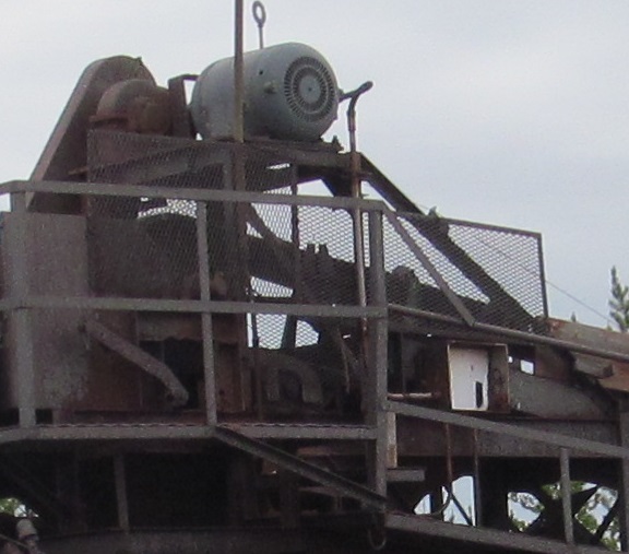
The tour bus rounds the corner and comes down the hill into the heart of the crusher. Fortunately, we turn left away from it instead of right into it. Also fortunately, it crushes rock being fed in from above, not tourists being fed in from the side.
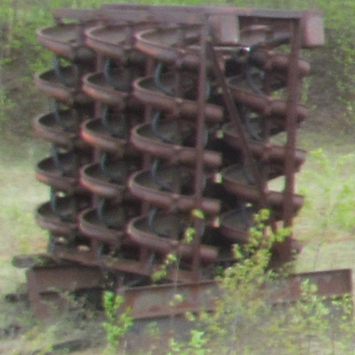
Spare crusher part, impromptu beehive, gnome amusement park, you decide.
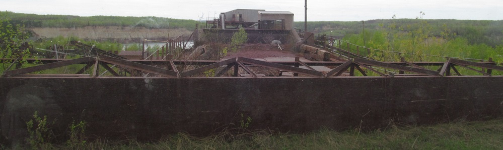
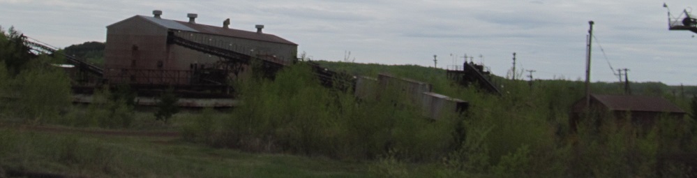
The last part of the rock journey, wherein machines determine what goes to rail cars to Lake Superior and what goes to overburden.
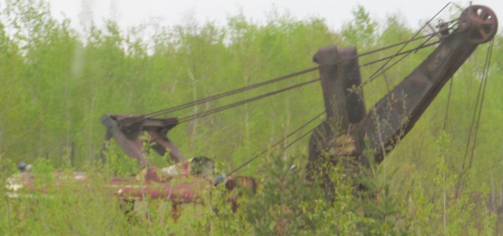
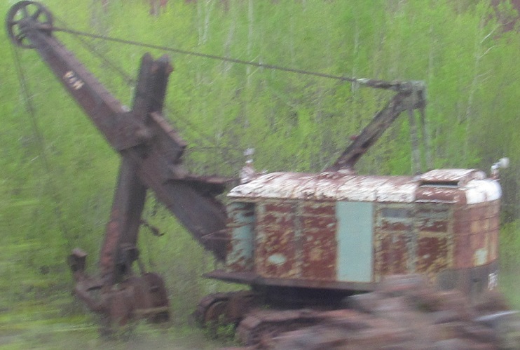
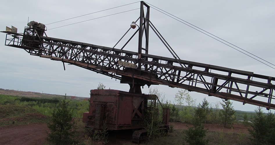
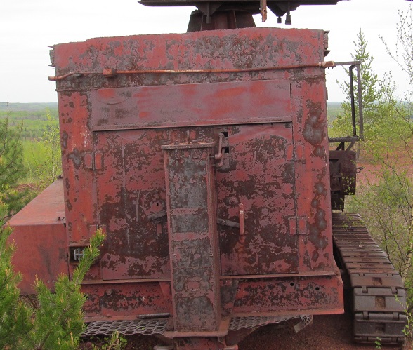
More retired drilling equipment.
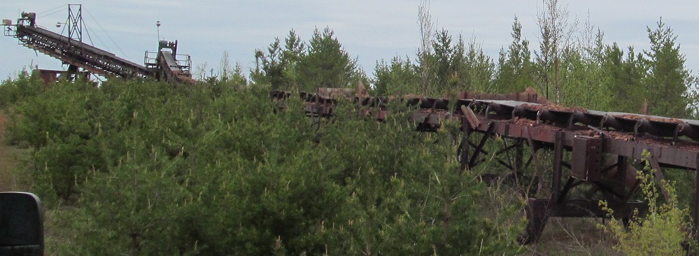
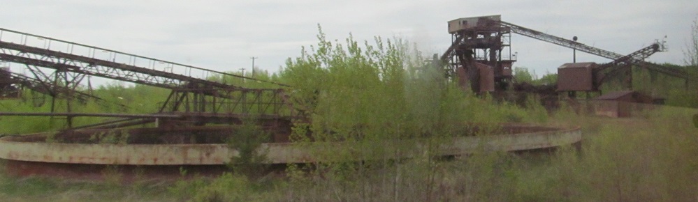
Some hot belt-on-belt action keeps material moving on conveyors to the top of the main waste rock pile. Or, now, the material has just been left there until it falls through future holes in the rusting conveyors. As rock piles fill up, the filling point moves farther from the heavy media plant, and it's easier to just add a conveyor belt under the prior one than to extend it.
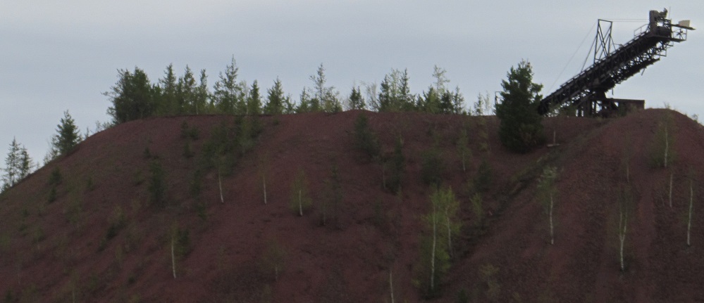
The top of the pile is a great place to spy on 'D' Pocket and the crusher. Trucks would load at top right, material would sift down to the conveyer belt and feed into the crusher at top left.
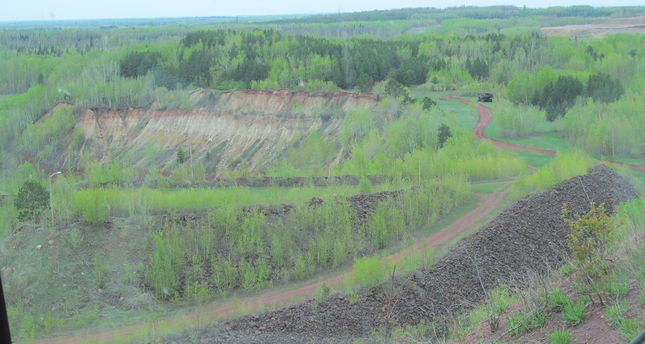
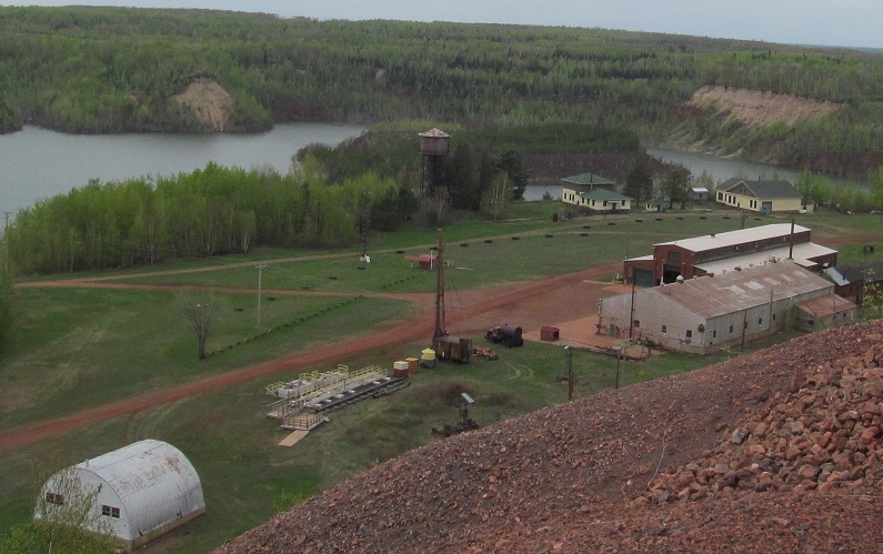
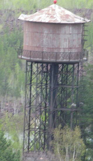
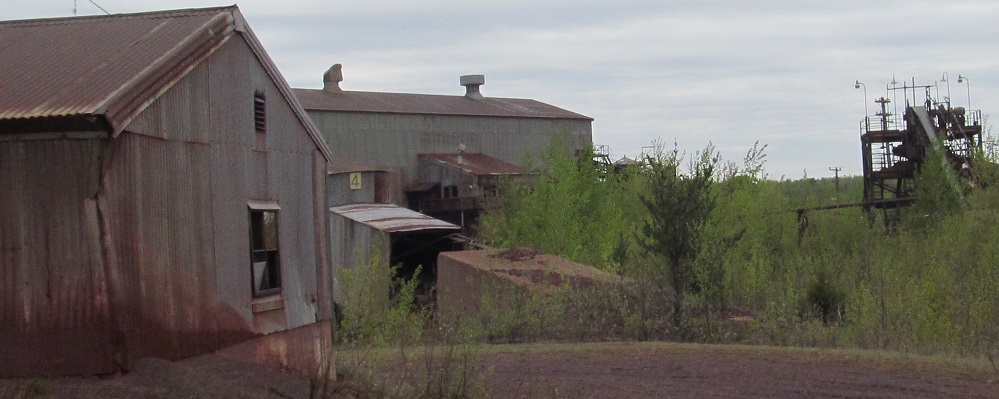
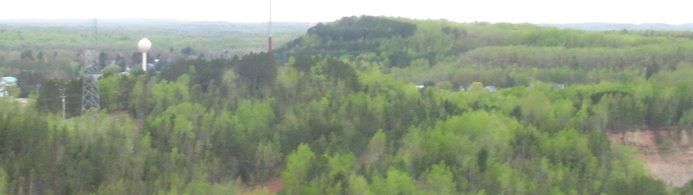
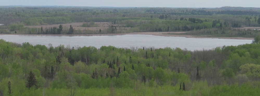
Looking north from the top of the waste pile at those other waste piles, the north rim of the old mine pit (now lake), the mine's water tower, and the big mine office and train shop buildings that the tour will visit next.
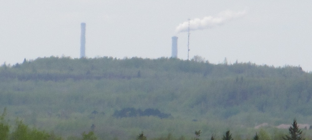
I'm told Essar Steel can be seen from the top of the waste pile, but that would be northeast of here, and this would more likely be a southwesterly photo based on what I was taking. That being the case, this is more likely a plant in Grand Rapids, possibly the paper mill.
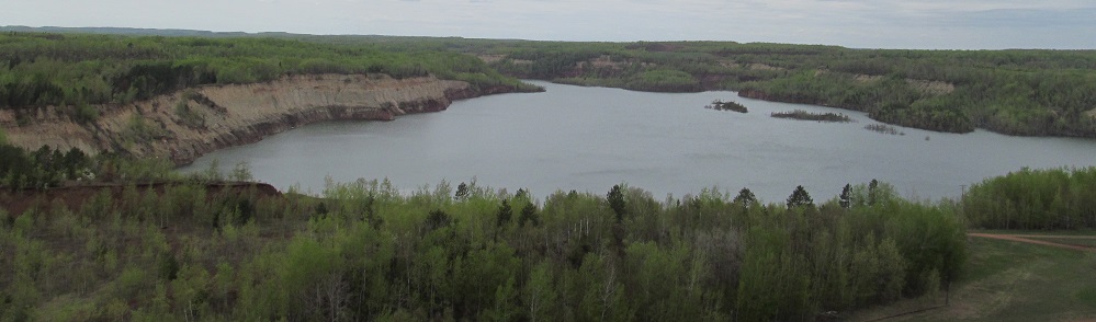
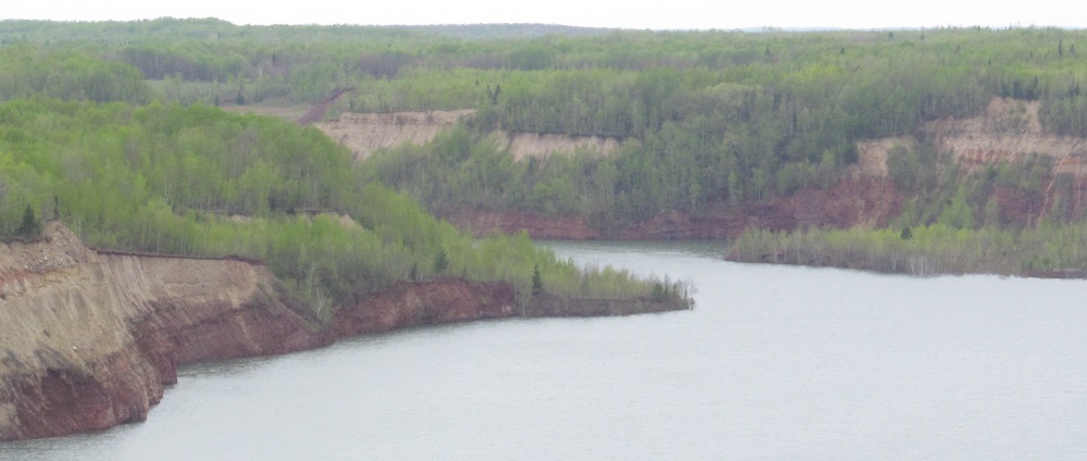
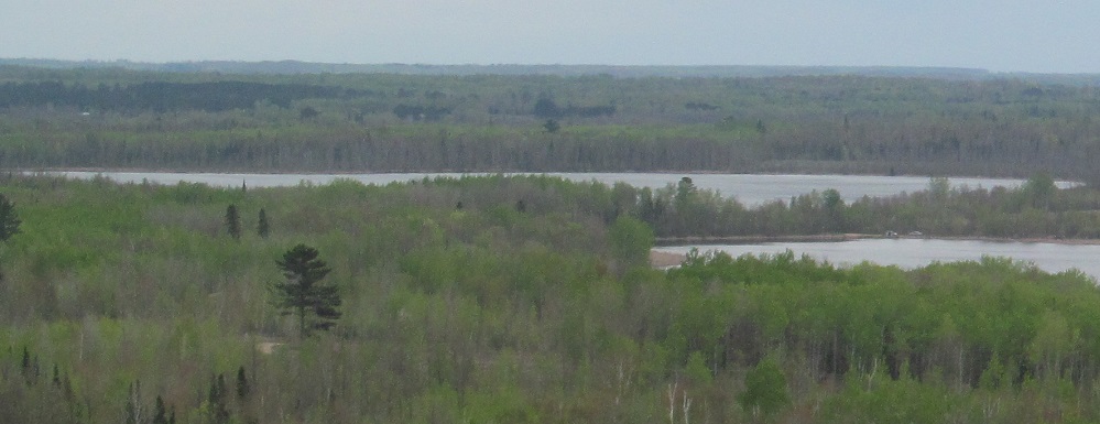
Panning from the mine pit lake (west toward the other mines that it flooded) to Upper and Lower Panaca Lakes, respectively, to the south in the last two photos. Between there, the third photo looks southwest toward Calumet and Marble.
Continue on the tour
Back to Tour Leg 1
Back to Hill Annex Mine main page
Back to Minnesota Non-Roads
Back to Non-Roads main page