Manitoba - Winnipeg - Downtown
Downtown Winnipeg
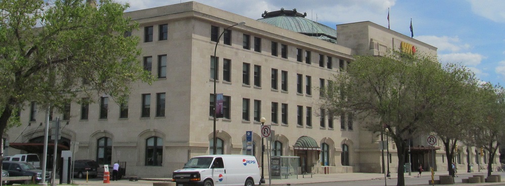
Starting in the southwest corner of downtown, the 1904 Land Titles Building is across from the Manitoba Legislative Building (see big link at bottom) along Broadway (Trans-Canada Highway 1).

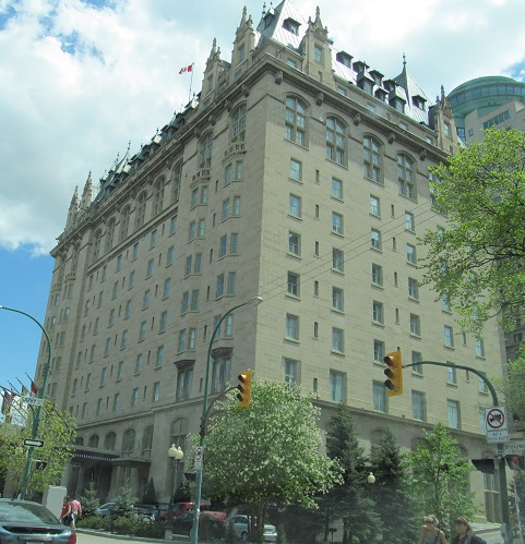
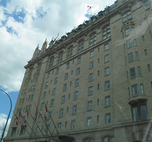
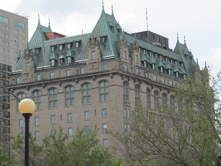
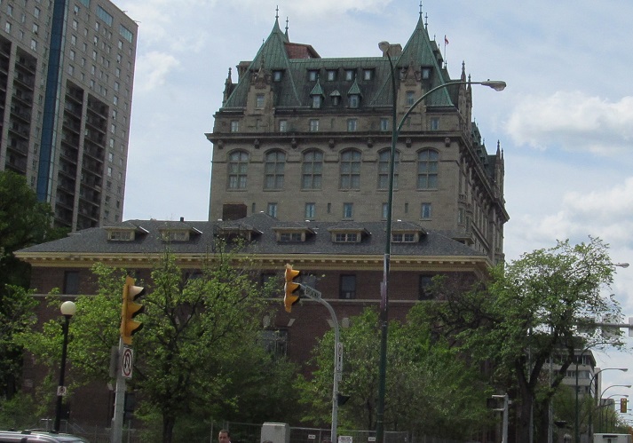
The 1913 Fort Garry Hotel is east of there at Garry Street. It was built by Grand Trunk Pacific Railway in the château style that I'm told was popular with railroad hotels at the turn of the 20th century, similar to the Plaza Hotel in New York City. The last photo looks west from Main Street (also Trans-Canada Highway 1, which turns from Broadway). Can someone explain why it has American flags flying with Canadian?
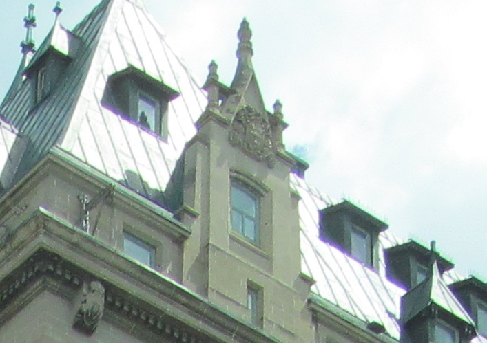
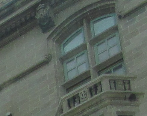
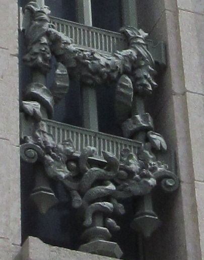
Architectural details, including GTP monograms on the balconies.
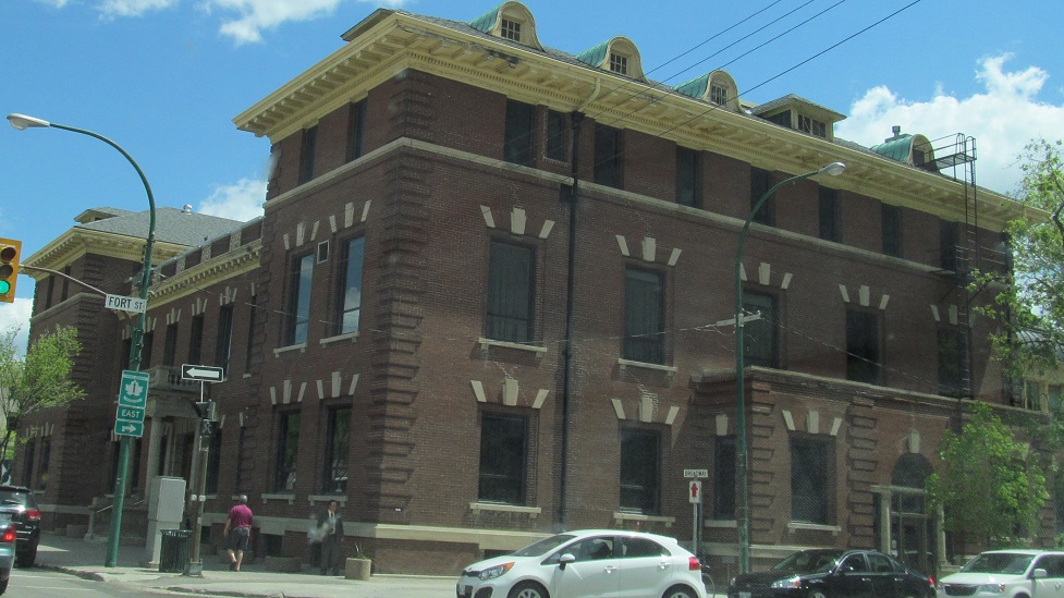
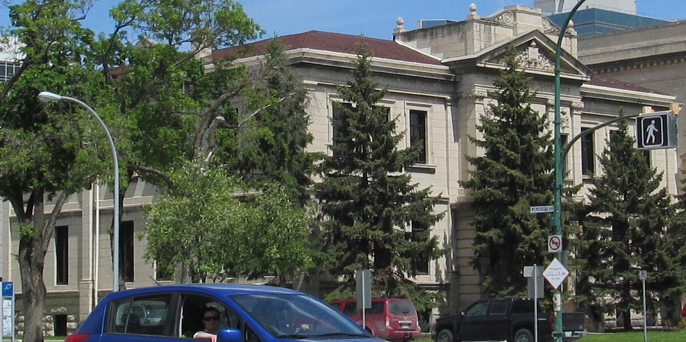
The west and east sides of the 1905 Manitoba Club building, on Broadway at Fort Street.
And finally, Manitoba Club in front of the Fort Garry Hotel.
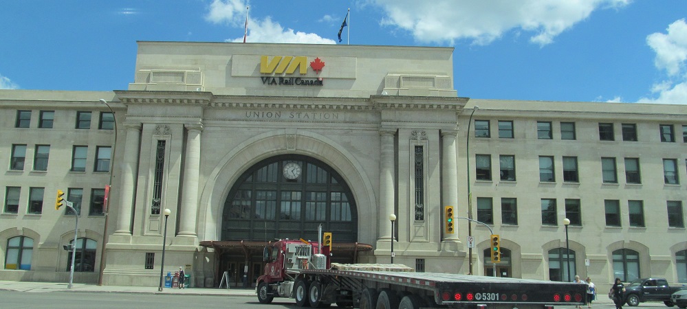
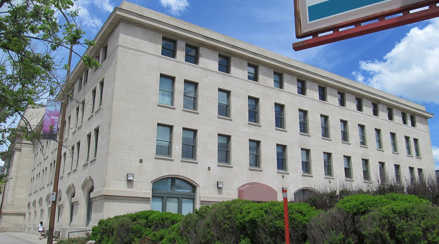
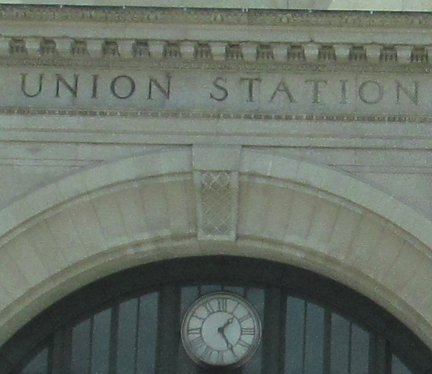
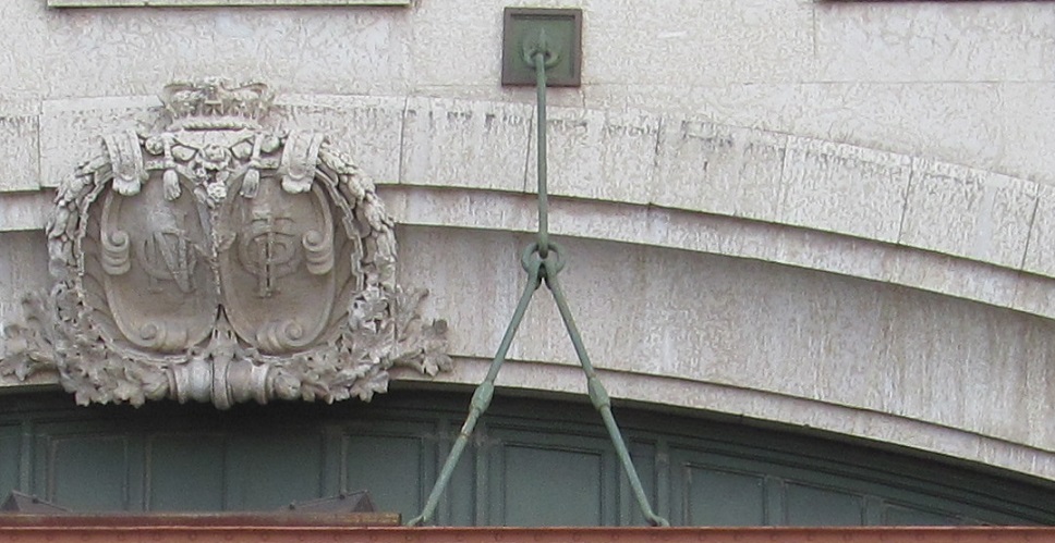
Broadway ends at Main Street across from Union Station, built in 1911 as a joint effort of Canadian Northern and Grand Trunk Pacific Railways, whose logos you see above the main entrance. Like good friends, they both ended up merging into Canadian National, in 1923 and 1919 respectively.
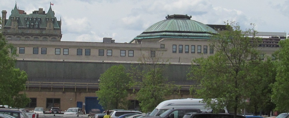
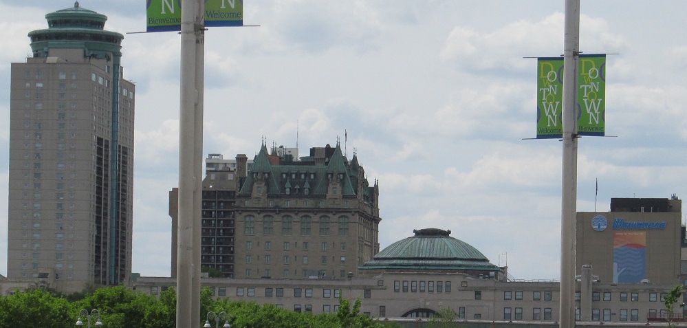
Union Station and the Fort Garry Hotel, sharing the second photo with the tallest building in Manitoba, Fort Garry Place III.
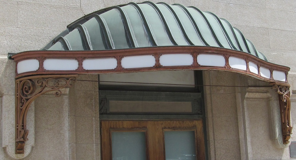
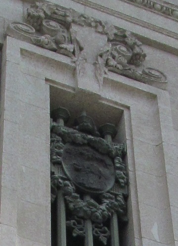
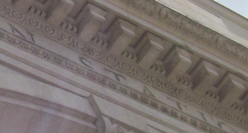
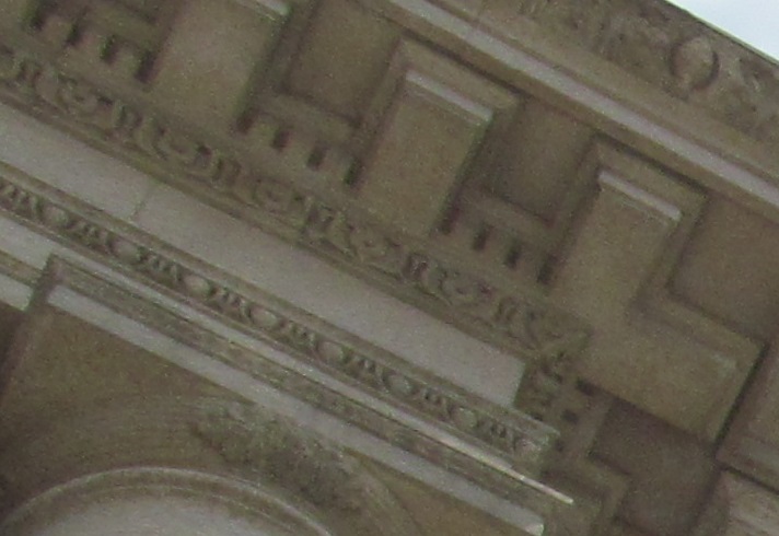
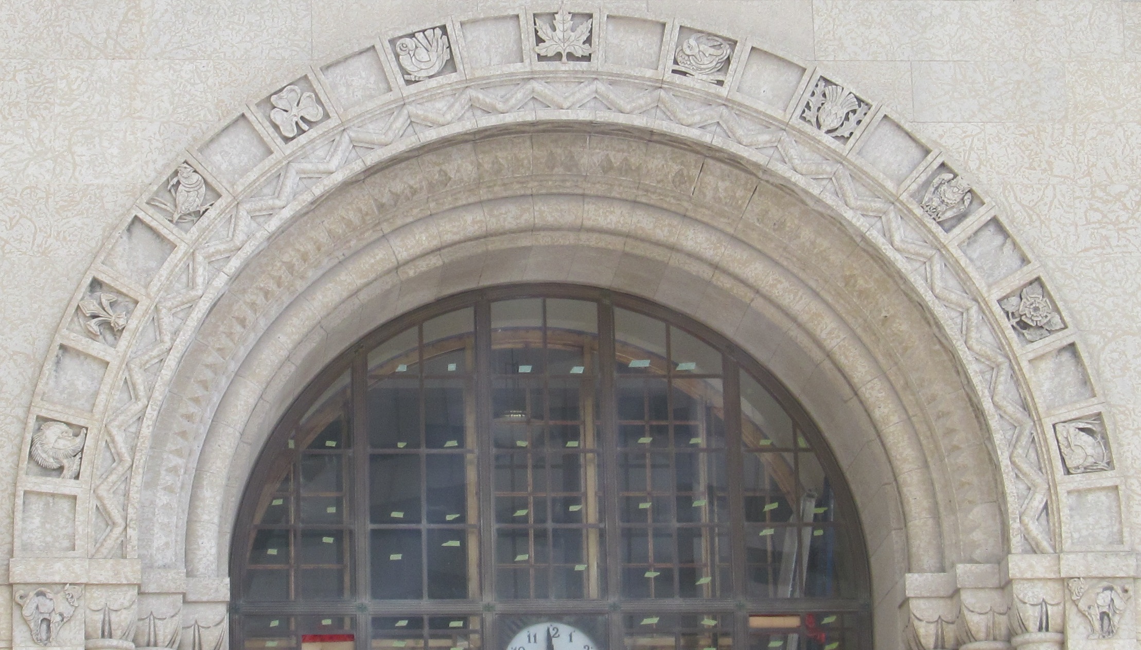
Exterior architectural details looking up near the entrance.
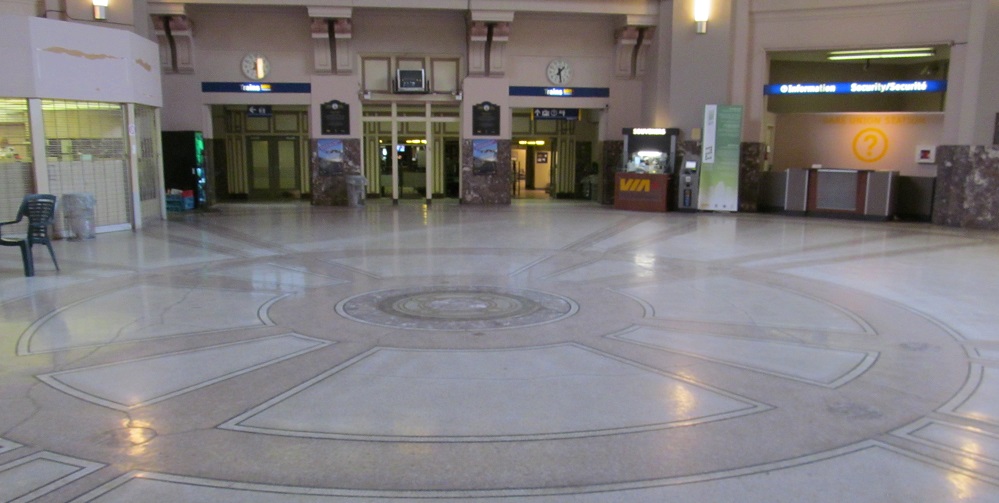
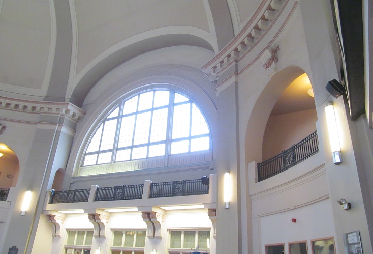
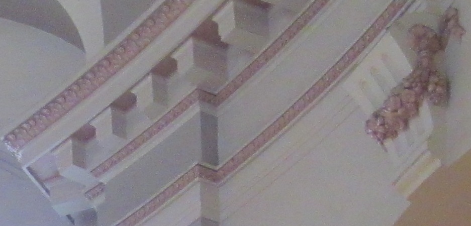
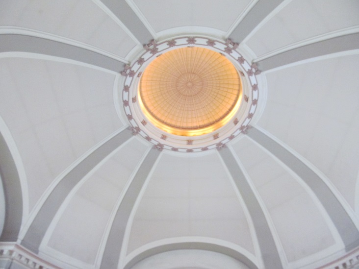
Some interior details as well.
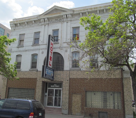
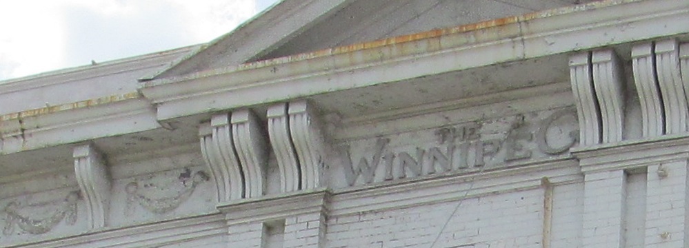
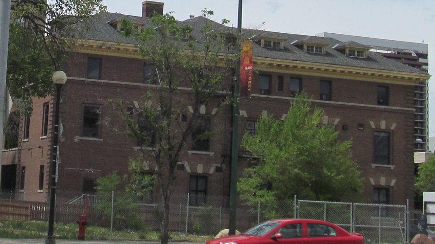
The Winnipeg, at #214 Main Street, is the oldest hotel in Winnipeg and is claimed to be the last remaining brick veneer wood frame building downtown, since those are fire hazards and have poor structural loading. It started life in 1873 as the Garry Saloon and became a hotel in 1881 with the addition of the 3rd floor.
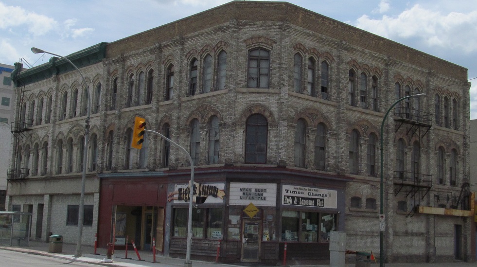
The Fortune Block was built in 1882 on the corner of Main Street and St. Mary Avenue. It looked so good, they built the identical MacDonald Block next to it a year later.
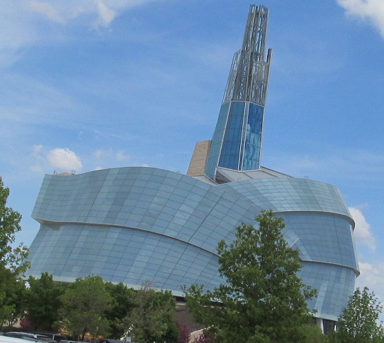
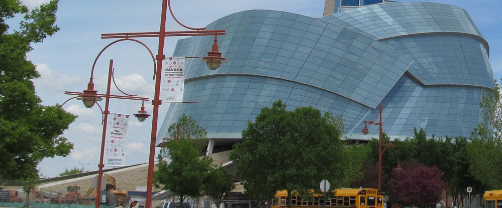
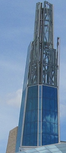
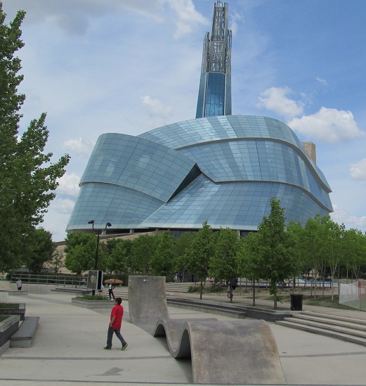
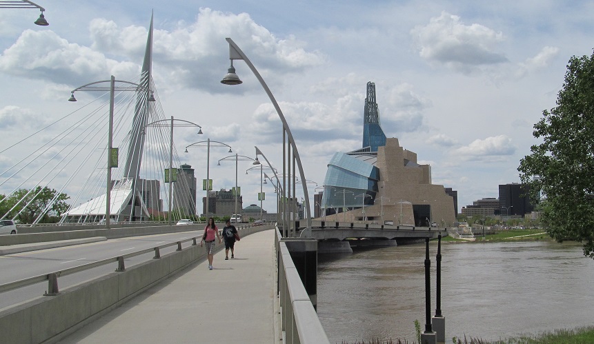
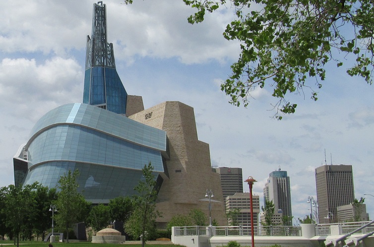
The Canadian Museum for Human Rights is in The Forks at the east end of York Avenue and the west end of the Provencher Bridge, making for some very unusual skyline views and unique postcards looking west along the bridge (or the parallel pedestrian bridge, Esplanade Riel).
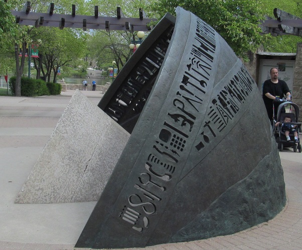
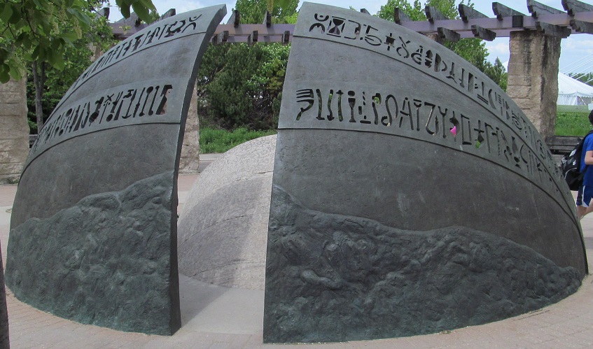
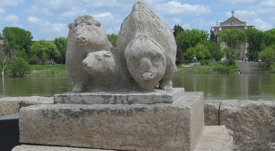
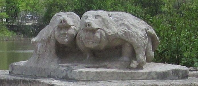
I started heading deeper into The Forks, named for the point where the Assiniboine River forks into the Red River. First I found Marcel Gosselin's Path of Time in Orientation Circle, which looks like First Nations symbols until you realize they are all implements used to "tame the prairie." See how many you can decode! That was cool, but then I found these other grotesque sculptures by the Forks Amphitheatre and lost all desire to explore further. See that church across the river? I headed there next. Much better.
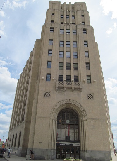
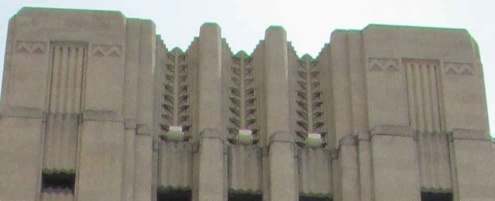
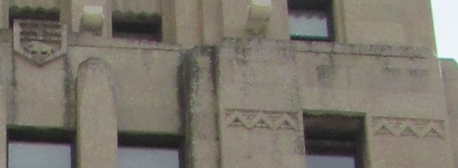
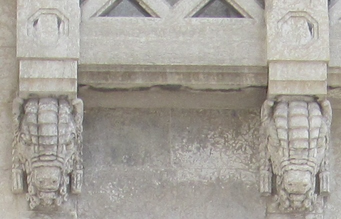
Leaving The Forks, the Victory Building, at the corner of Main Street and William Stephenson Way, was built in 1935-1936 as the equivalent of a USA Works Progress Administration project, keeping people employed during the Depression. It's clearly in the Art Deco style. Click on the first or last photo to see the details around the top of the doorway. You might not be surprised which one's on top.
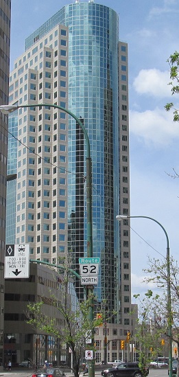
201 Portage (its name as of 2020) is the tallest building in Manitoba, at 182 metres. A quick conversion will tell you that's 420 feet. Dude.
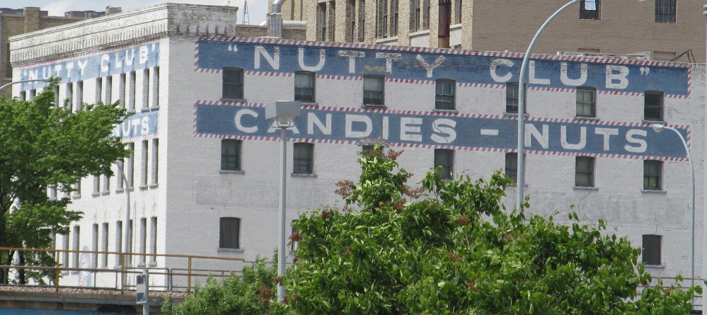
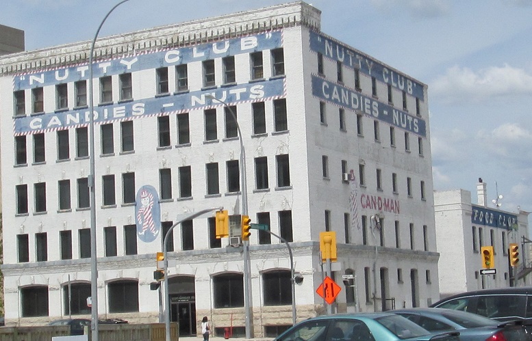
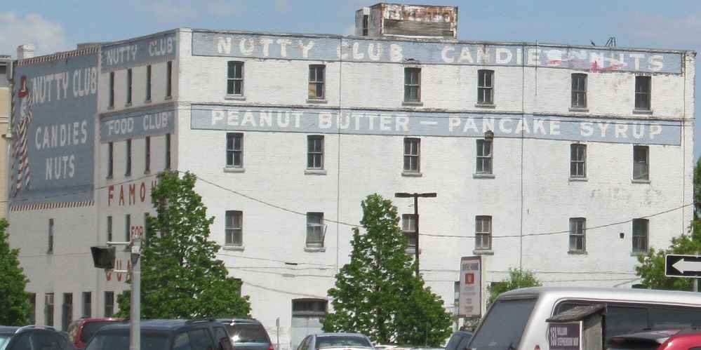
The former Nutty Club is east of there on Pioneer Avenue. I found this more interesting than a generic tall building. I trust the Can-D-Man.
Manitoba Legislative Building
Head outside downtown
Back to Winnipeg main page
Provencher Bridge/Esplanade Riel roads photos
Back to Manitoba Non-Roads
Back to Non-Roads main page