California - Old US 99 - Around Shasta Lake
Former US 99 around Shasta Lake
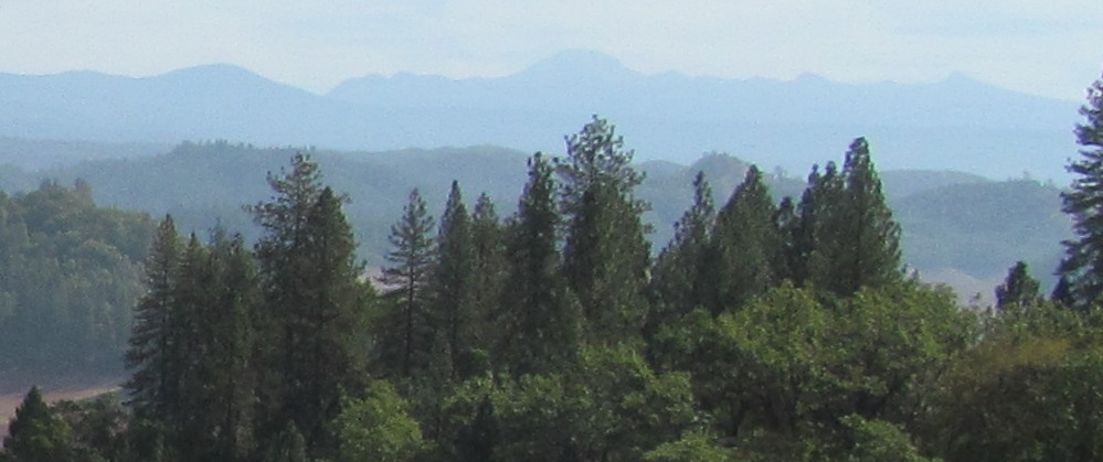
Photos follow my travel southward.
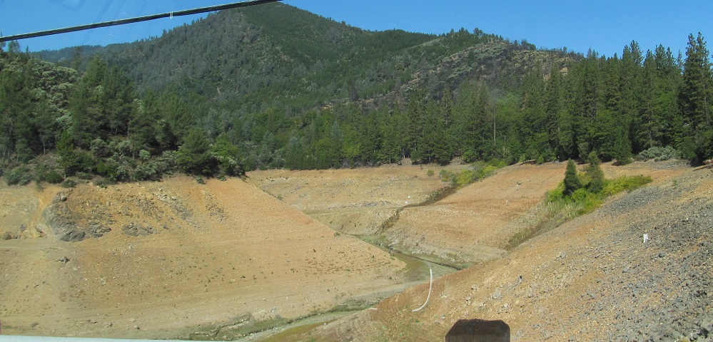
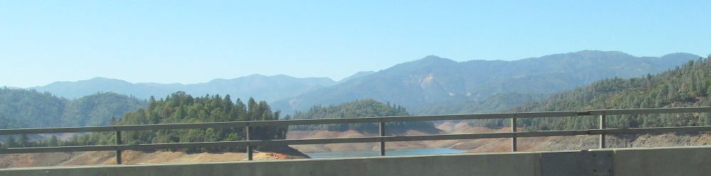
Looking north along Charlie Creek from Lakeshore Drive north of Sugarloaf the town, there's normally quite a bit more water here (up to the tree line). In fact, this is really an arm of Shasta Lake in normal times.
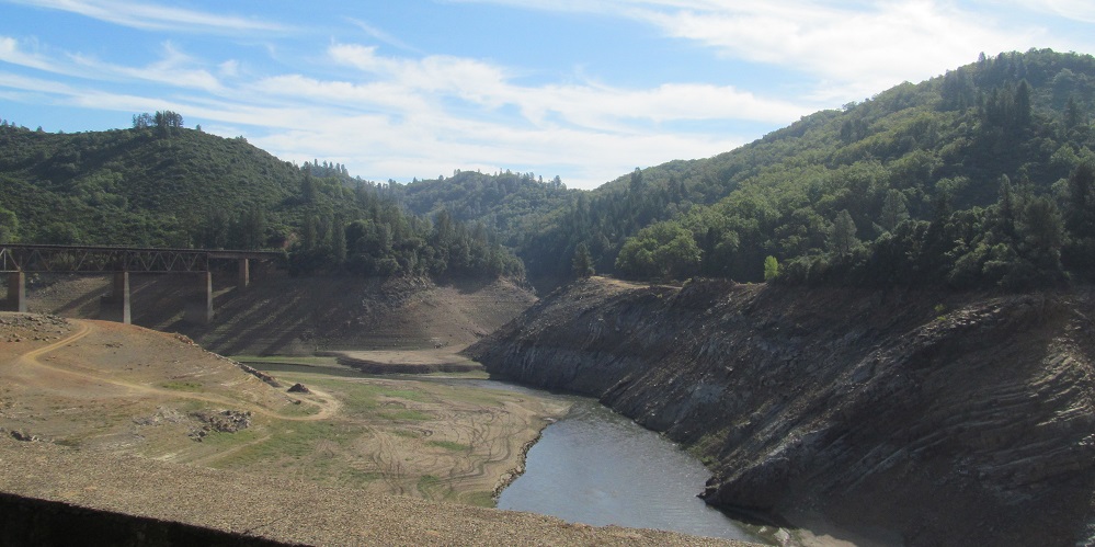
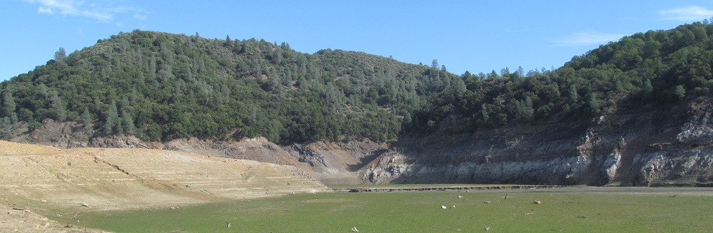
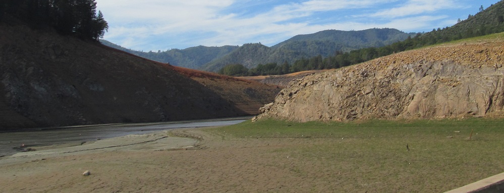
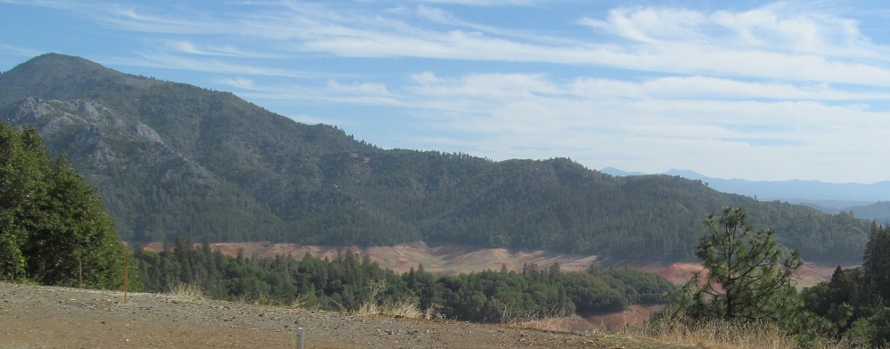
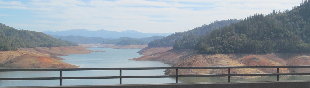
The view to the south and east shows a similarly dry lake, which is why I have an "into the lakebed" page (linked at bottom). The hill in the foreground is an offshoot of Sugarloaf the mountain peak.
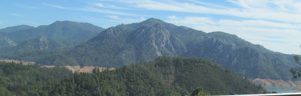
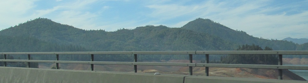
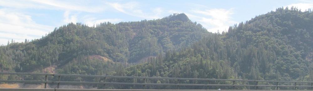
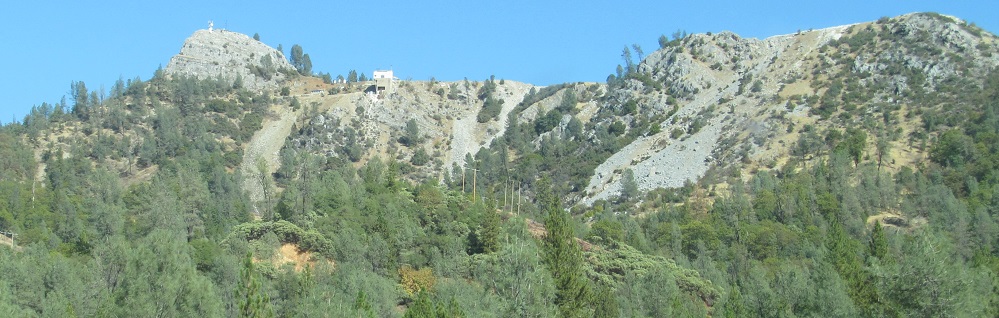
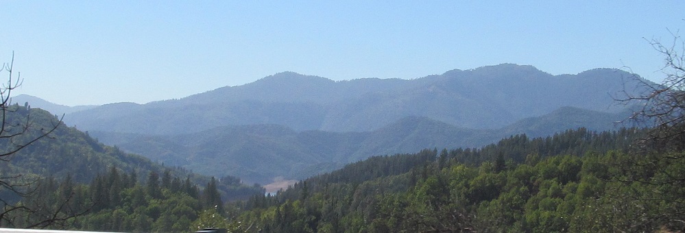
From Elmore Mountain panning east to Sugarloaf Jr.
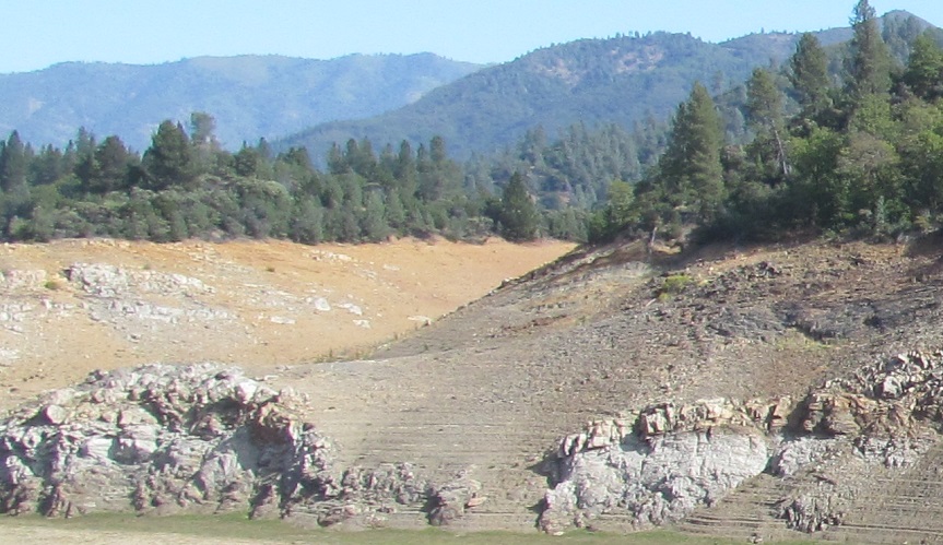
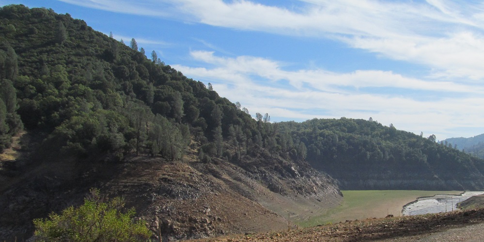
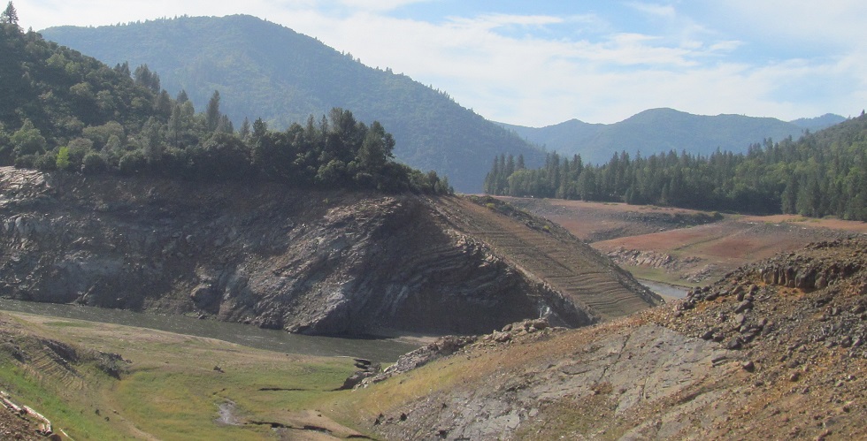
Panning back from east to south, a little more south and deeper into what's left of the lake.
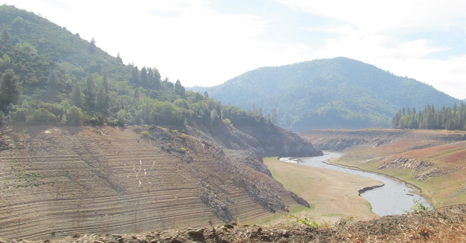
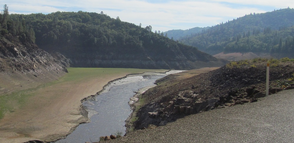
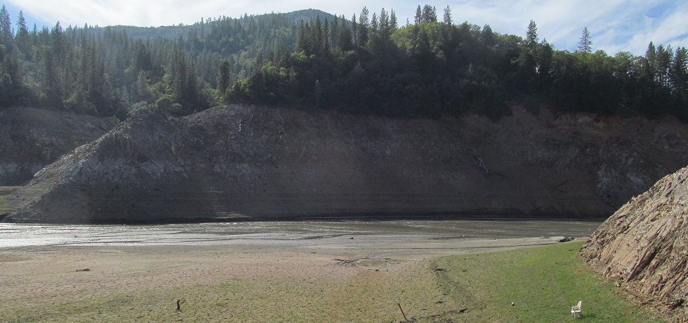
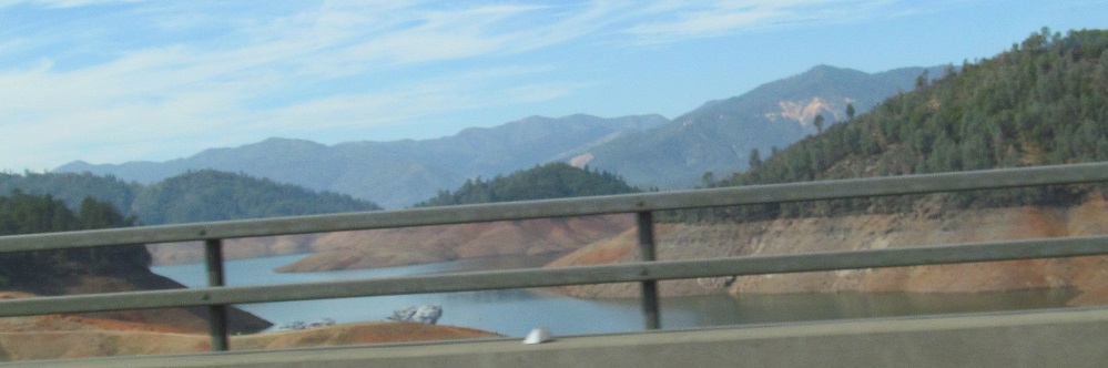
Old US 99 separates from Lakeshore Drive and heads... normally to the lake shore, but there isn't one of those in 2014 so it just keeps going into the lakebed.
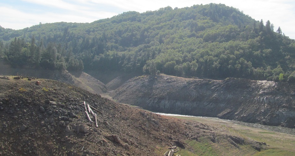
The view east from the old road. I'm already below typical water level, and you can see something closer to what this looked like before being dammed in 1944.
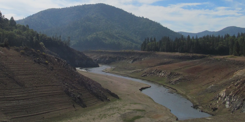
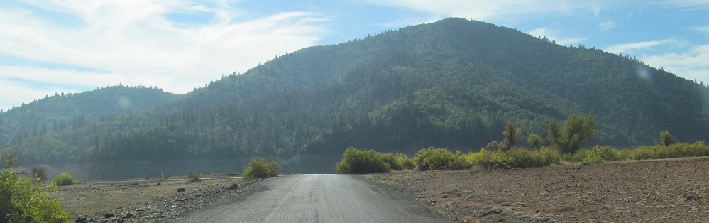
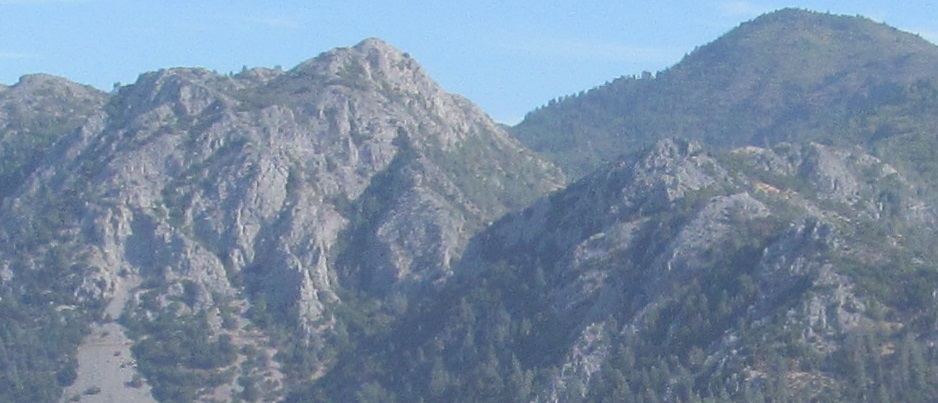
Unique views to the west.
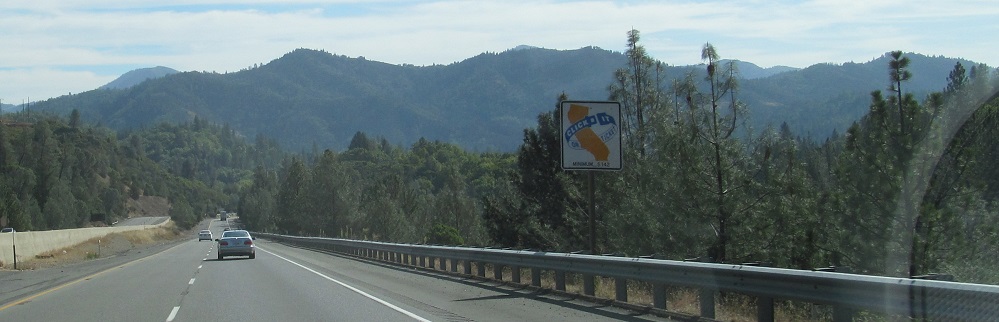
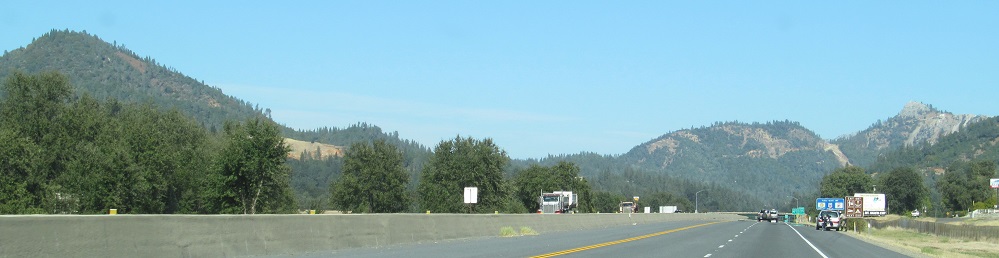
Driving through the lakebed is not really possible, due to lack of bridges and remaining roadbed, so I am now on I-5 heading south toward O'Brien Mountain in Shasta-Trinity National Forest.
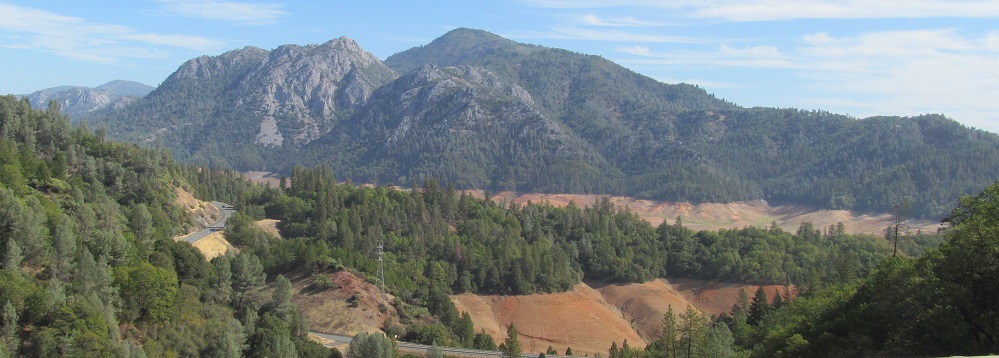
On the east side of I-5, Horse Mountain and North Gray Rocks.
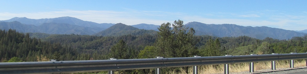
Far to the east beyond Pit River Arm of the lake, Freaner, Crater, and other peaks reside in Lassen National Forest.
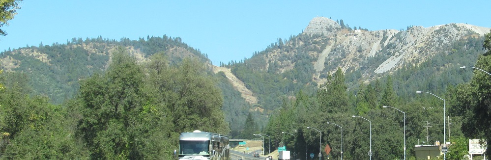
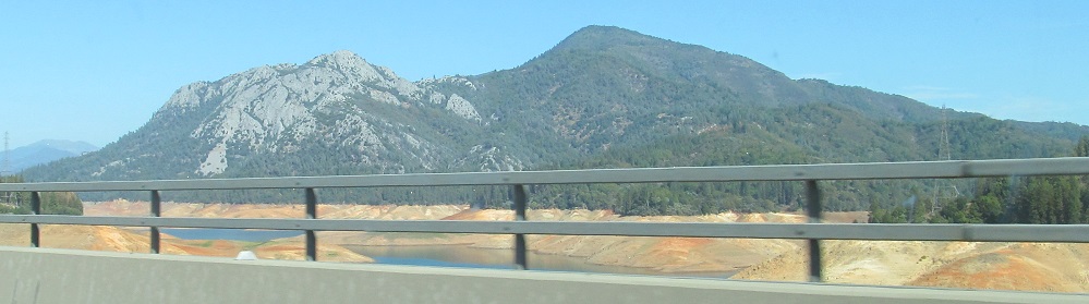
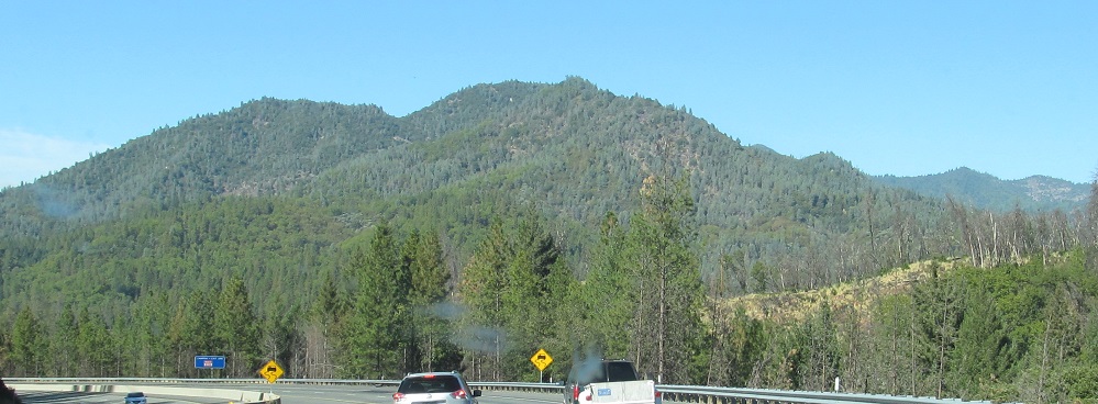
As I-5 crosses the body of Shasta Lake the lake, Bass Mountain and Saddleback are to the west. The regular Gray Rocks are on the south side.
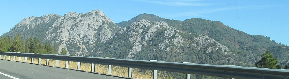
I-5 north out of Shasta Lake the city. The Gray Rocks look a lot grayer from this side in the afternoon sun.
The North Gray Rocks also look grayer!
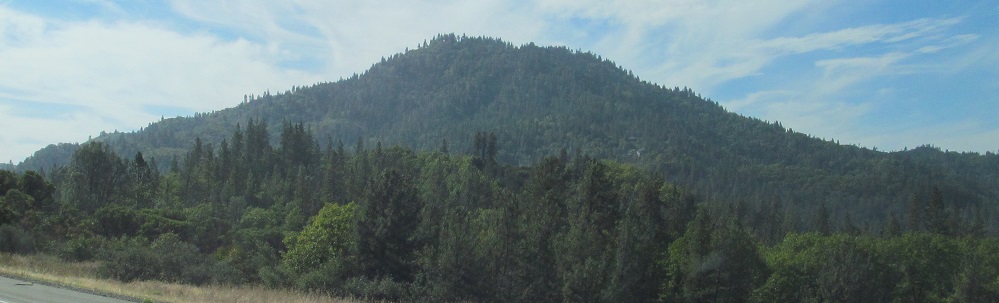
Two photos facing west and one ahead at Sacramento Mountain.
Head into the lakebed
Continue south on old US 99 to Redding
Continue north on old US 99 to Shasta-Trinity National Forest
Back to California Non-Roads
Back to Non-Roads main page