British Columbia - W. Van-Nanaimo Ferry - W of Bowen Island
West Vancouver-Nanaimo Ferry
West of Bowen Island
All photos were taken on the westbound trip to Nanaimo.
Rounding the west side of Bowen Island, this photo looks north at Pasley Island and Keats Island on the left, balacned by Mt. Gardner on Bowen Isand to the right.
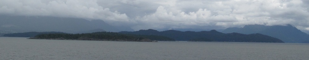
Panning from left to right, here are some of the many islands in the Strait of Georgia: Popham and Little Popham Islands; Worlcombe, Pasley, and Keats Islands from front to back; and Bowen and Gambier Islands, front to back. The mainland mountains loom behind the latter.
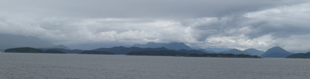
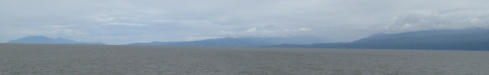
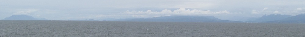
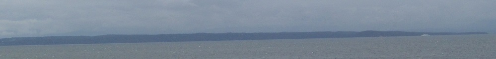
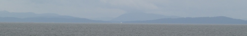
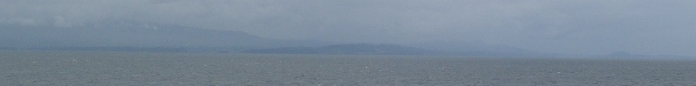
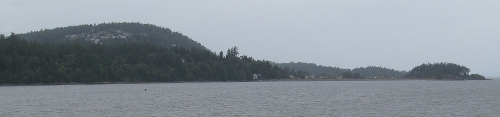
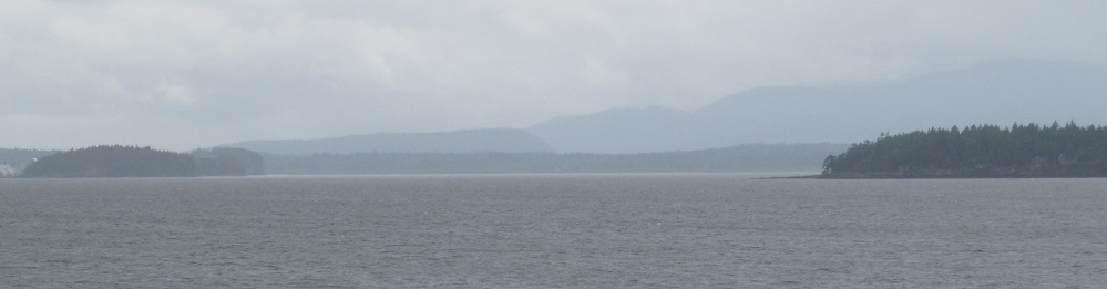
Southward views of Vancouver Island, slowly taking form.
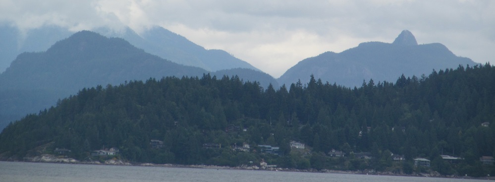
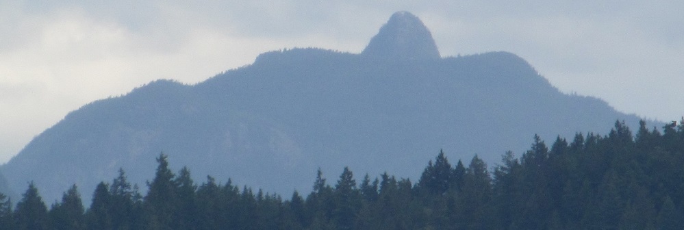
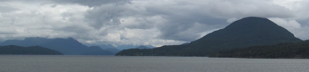
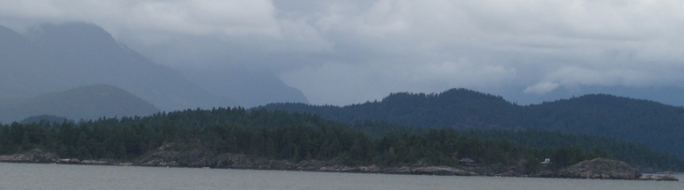
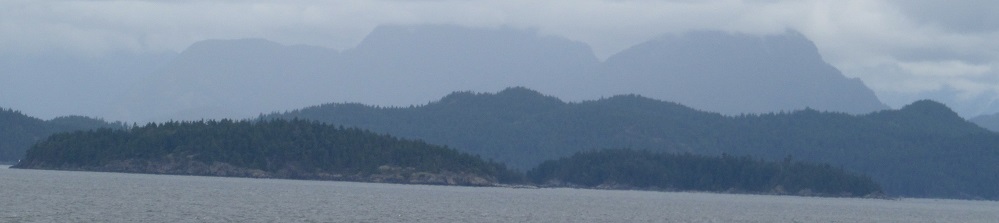
Mt. Killam on Gambier Island shows up behind Bowen Island, and a familiar face returns to its right: Anvil Island, now seen from the southwest, and not trying to not flip you off.
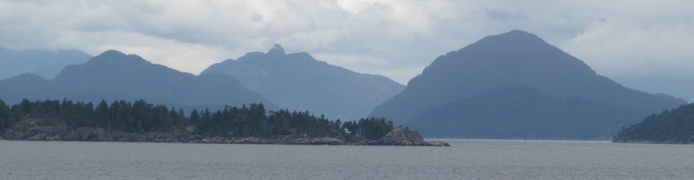
Let's go through the islands again, as I pan from north to east: Popham and Little Popham are at left in the first photo, Hermit Island (hitherto unseeable) next to them, and Pasley rounds out the front. Keats and Gambier Islands are behind them, featured in the second photo. Gambier Island has Mt. Killam on the left and Mt. Artaban on the right, split by Anvil Island. Keats Island is then separated from Bowen Island and Mt. Gardner (4th photo) by the Collingwood Channel. Test is closed book. This is also the last we'll see of Vancouver's skyline.
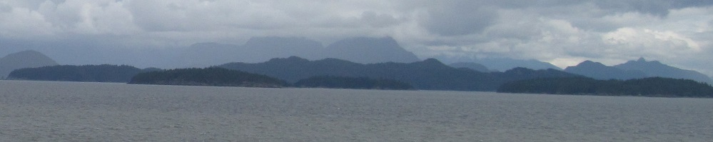
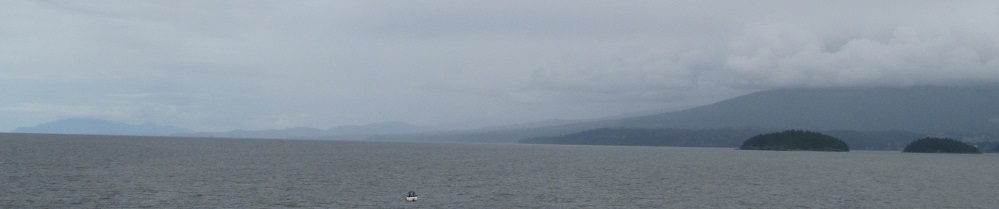
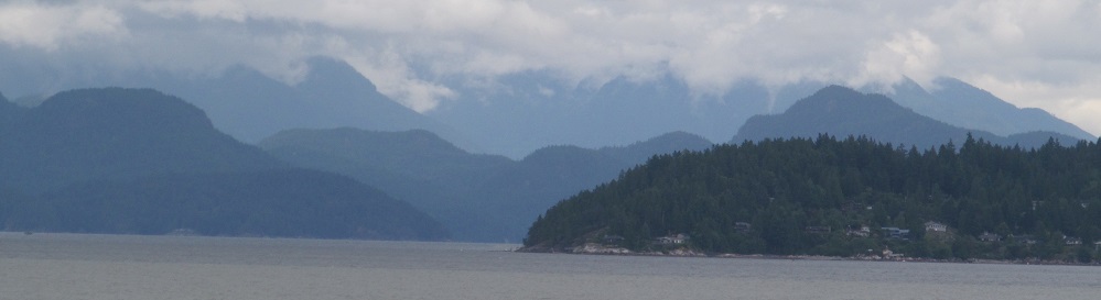
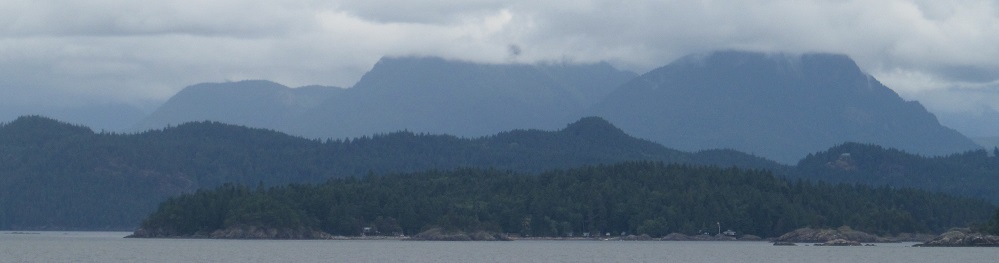
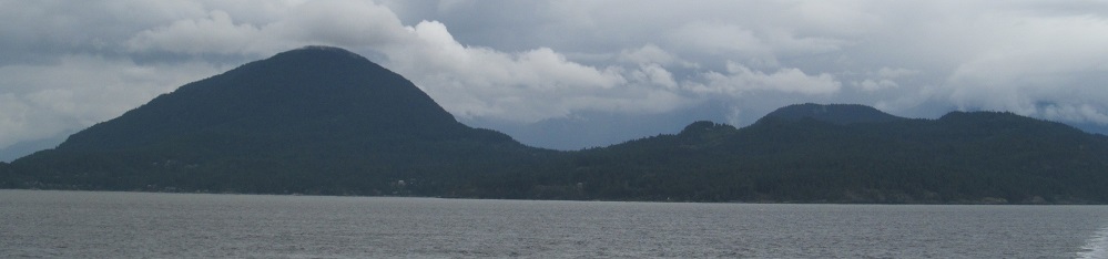
Looking north behind the islands, the scenery shifts to the Sunshine Coast, though there is little of that to be found today. The island featured in the last photo is Hermit, in front of Keats, in front of Gambier. From this angle, Mt. Killam separates into two distinct peaks, the one on the left being Mt. Liddell.
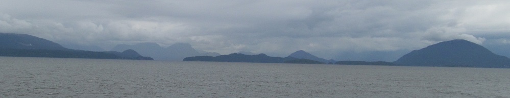

From north to east: Sunshine Coast, bunch of islands, Bowen Island.
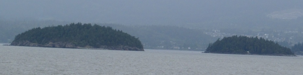
This part of the Sunshine Coast is the Sechelt Peninsula. Pasley Island is to its right, and I'm not going to be able to really see it after this. Maybe on a sunny day I would.
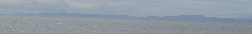
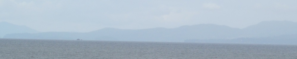
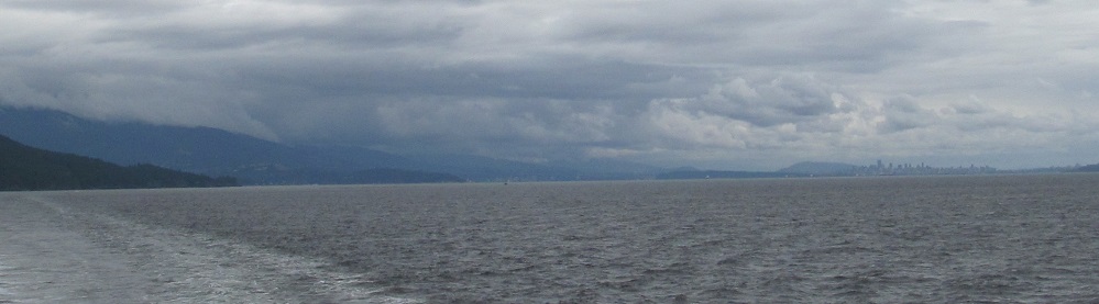
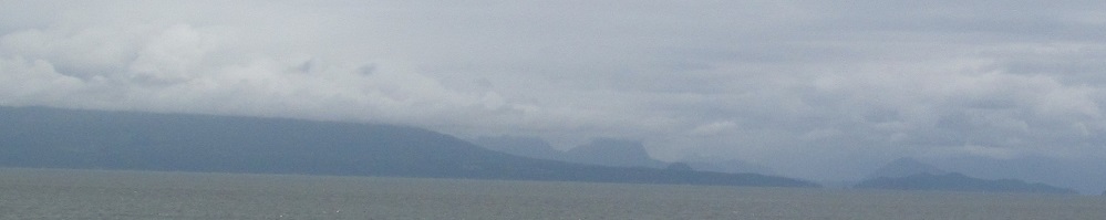
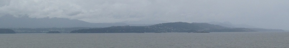
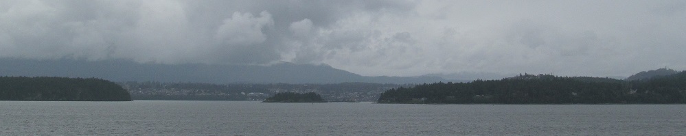
A half hour from my destination in Nanaimo, here's what's visible of Vancouver Island, from south to north.
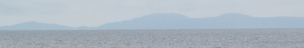
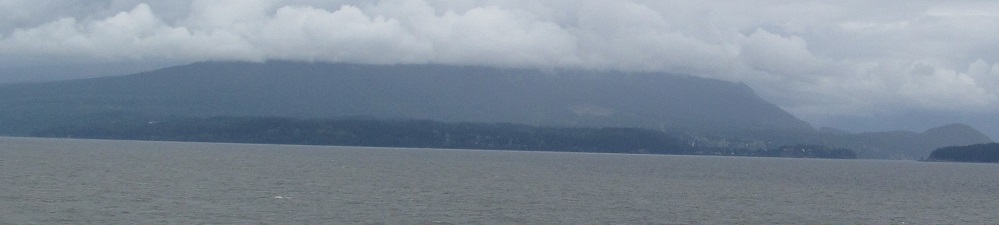
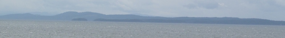
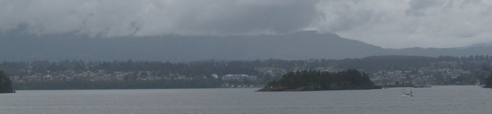
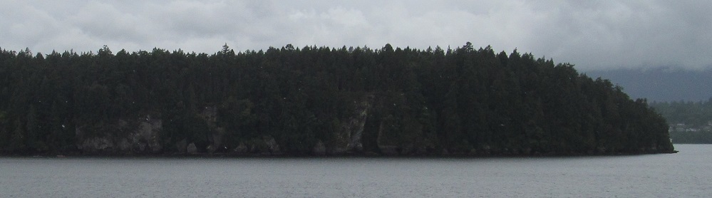
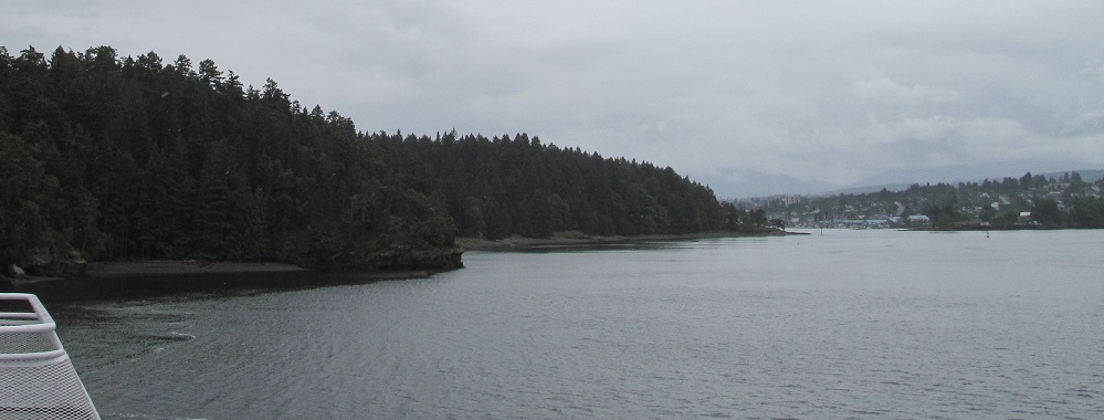
Closing in on the island, this is Stephenson Point to the northwest.
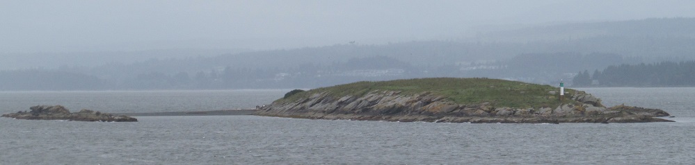
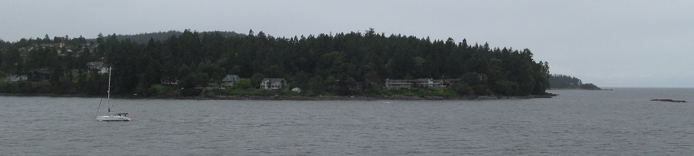
Snake Island is the first spot of land that the ferry passes on this side of its journey, but Jesse Island is the one guarding Departure Bay. Mt. Benson rises behind it.
Looking north at Pipers Lagoon Park and south along the coast as we prepare to enter the bay.
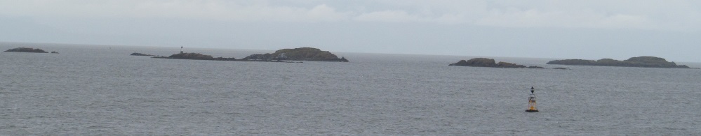
Panning across Departure Bay's mouth, with bonus coverage of Horswell Rock (right side of 4th photo) and the Hudson Rocks on the east side of Horswell Channel.
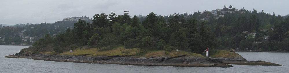
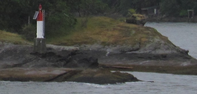
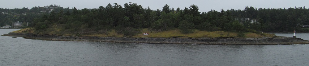
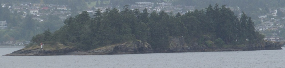
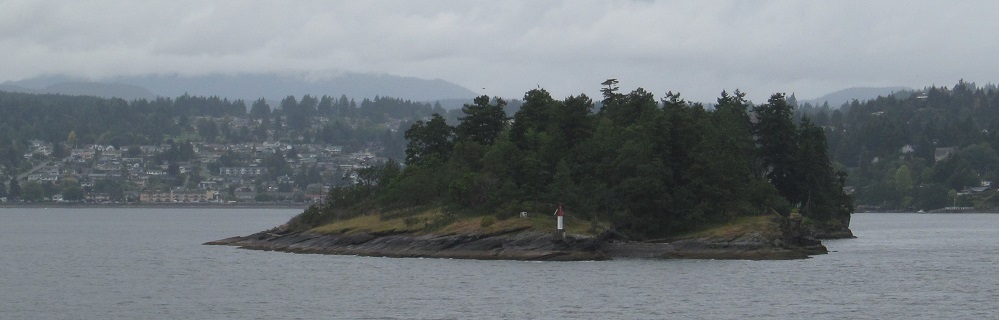
More views of Jesse Island, privately owned and for sale at the time of this 2013 sailing. It comes with its own lighthouse!

The Brandon Islands are just west of Jesse Island on the north side of Departure Bay. The last photo looks south through the bay at Newcastle Passage, separating Vancouver Island (right) from Newcastle Island (left).
Back east on the ferry
Back to West Vancouver-Nanaimo Ferry main page
Onto Vancouver Island
Back to British Columbia Non-Roads
Back to Non-Roads main page