British Columbia - Highway 97 - Kerry Lk.-Pine Pass
Highway 97, Kerry Lake to Pine Pass
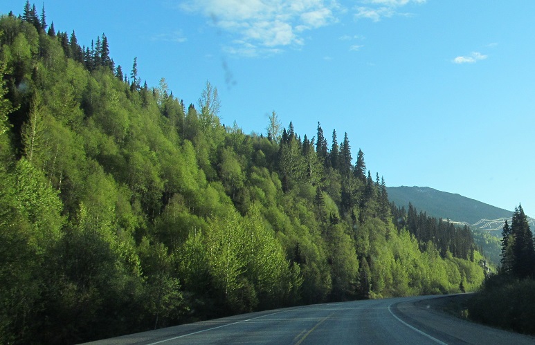
All photos were taken heading north, and generally face either north or west.
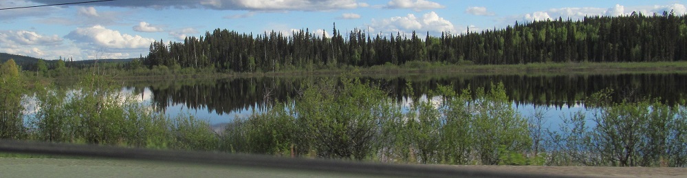
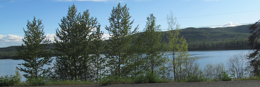
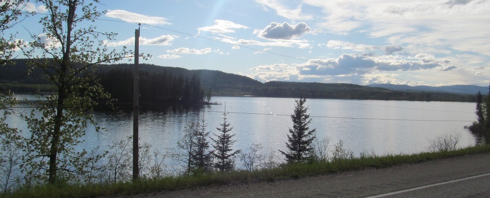
The aforementioned Kerry Lake passes by to the west.
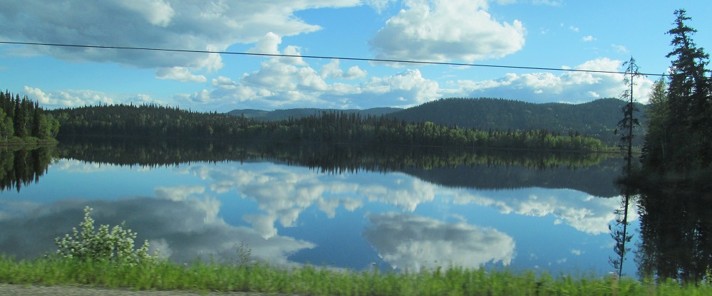
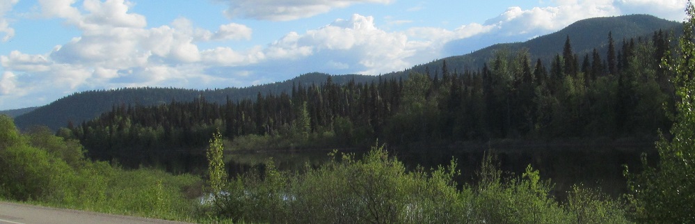
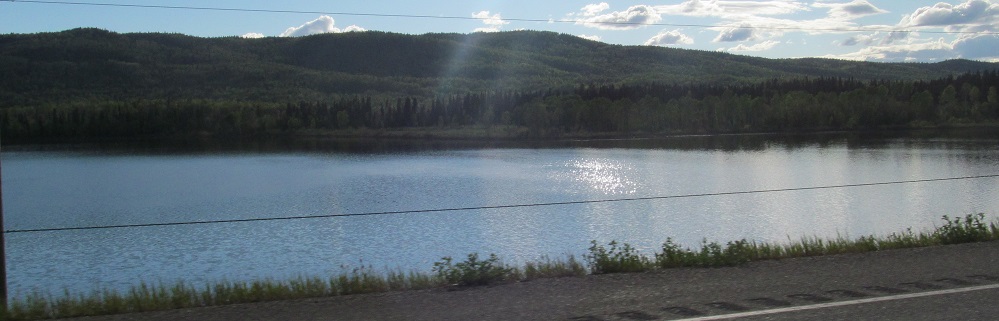
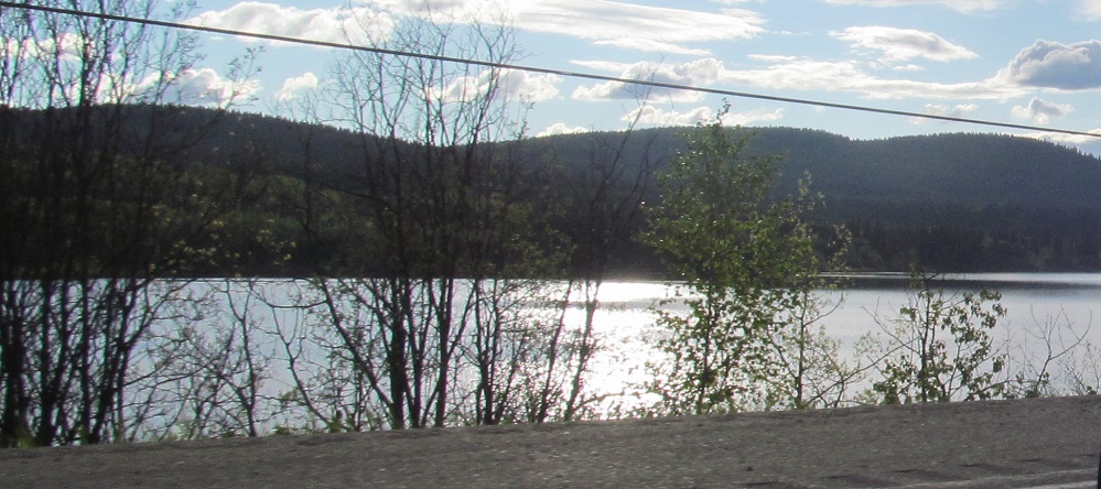
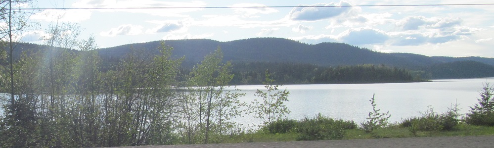
After some intervening scenery, Highway 97 comes back to the lake toward its north end.
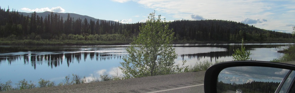
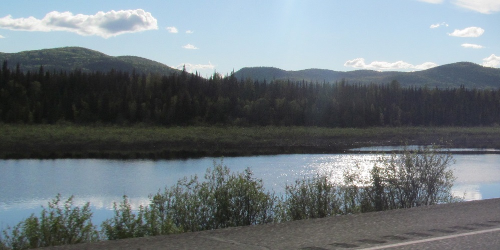

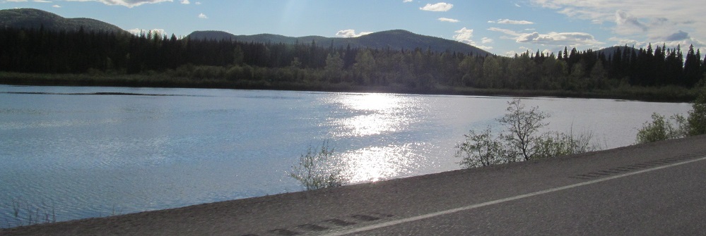
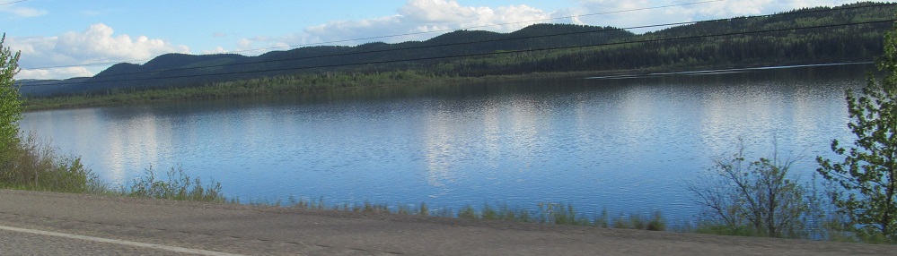
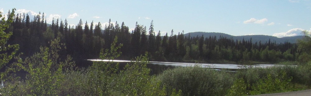
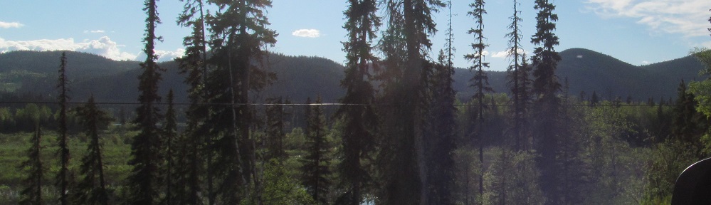
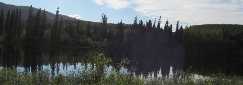
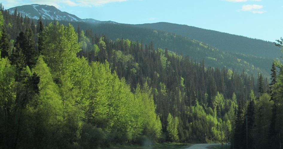
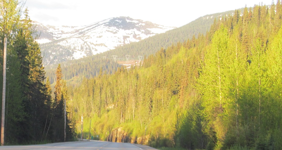
The highway follows Crooked River along the ridge to the west for 4 photos until it widens into McLeod Lake.
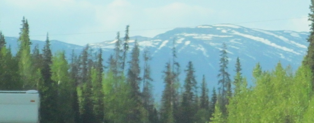

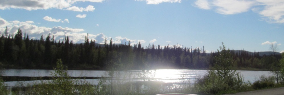
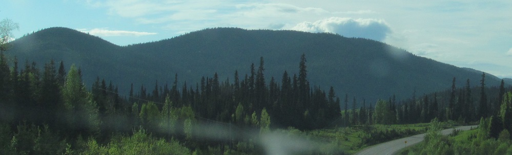
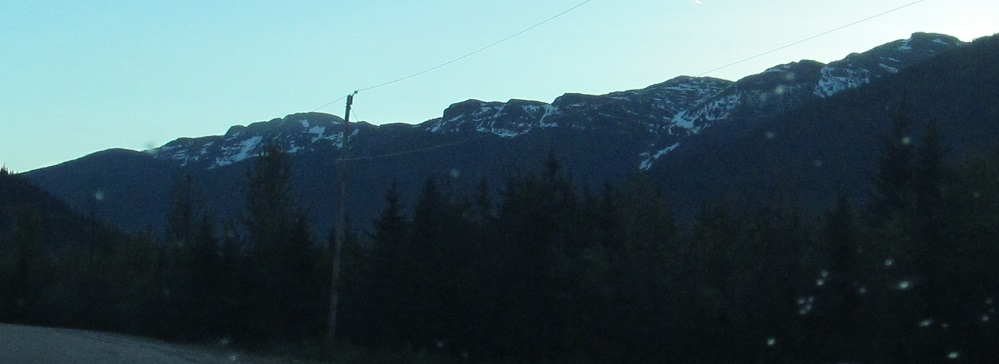
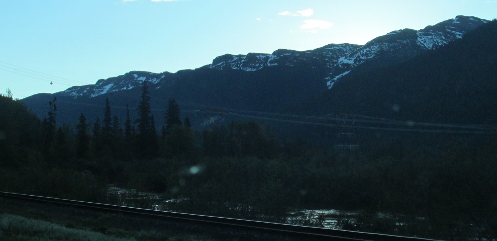
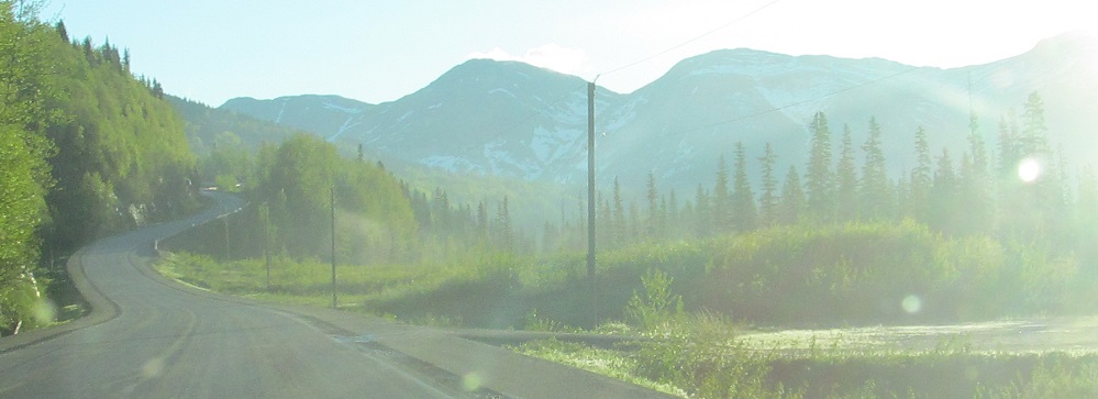
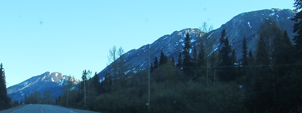
My last photos for the day before I turned onto Highway 39 to Mackenzie for the evening. That's the Omineca Range to the northeast.
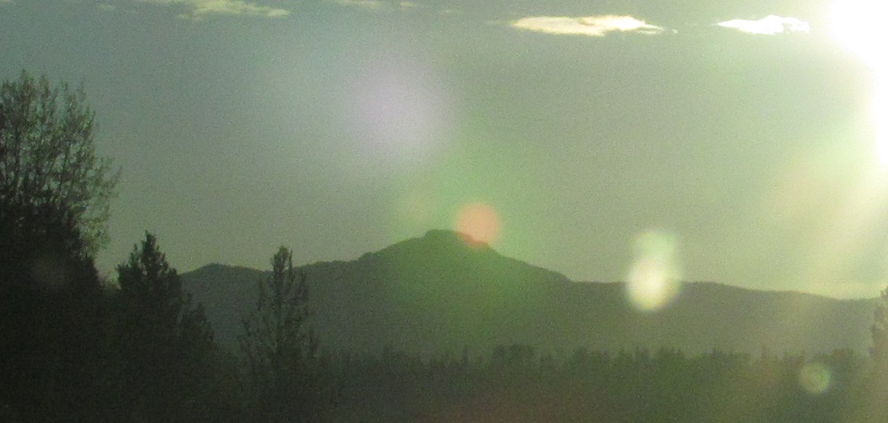

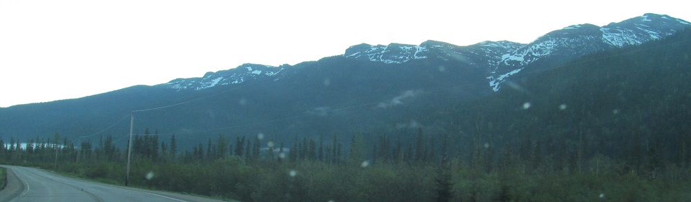
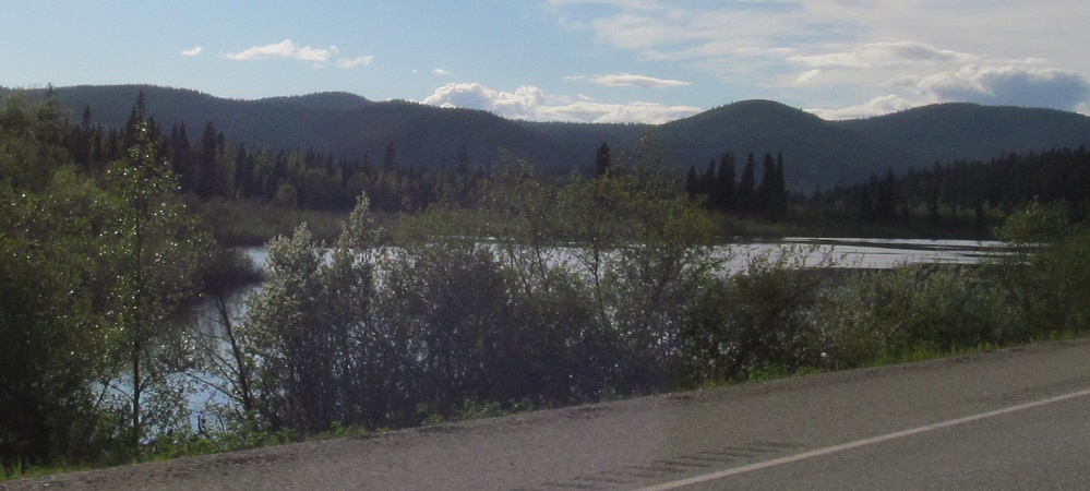
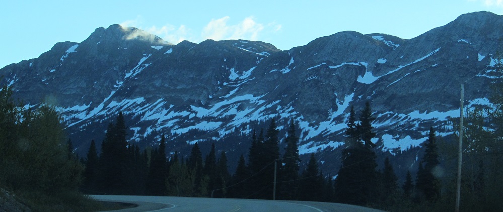
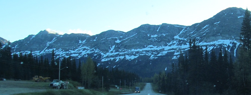
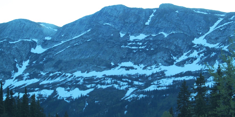
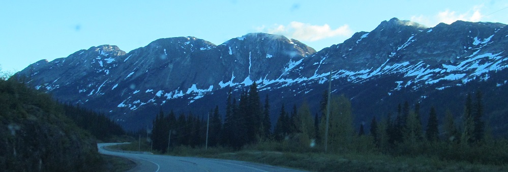
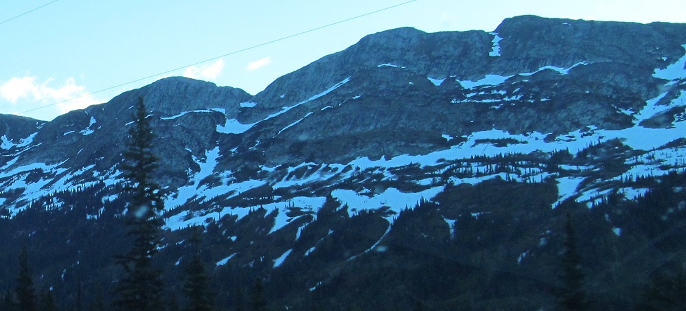
After some early morning sun glare, I enter Pine Le Moray Provincial Park and the Hart Ranges of the Canadian Rockies. The last 4 photos are of the Murray Range, one of the Hart Ranges running between Mt. Murray (left) and Hunter NW5 (right, poorly named), fronted by the Misinchinka River. Highway 97 curves west to get to a gap in the northeasterly range.
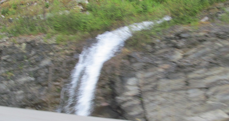
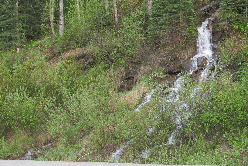
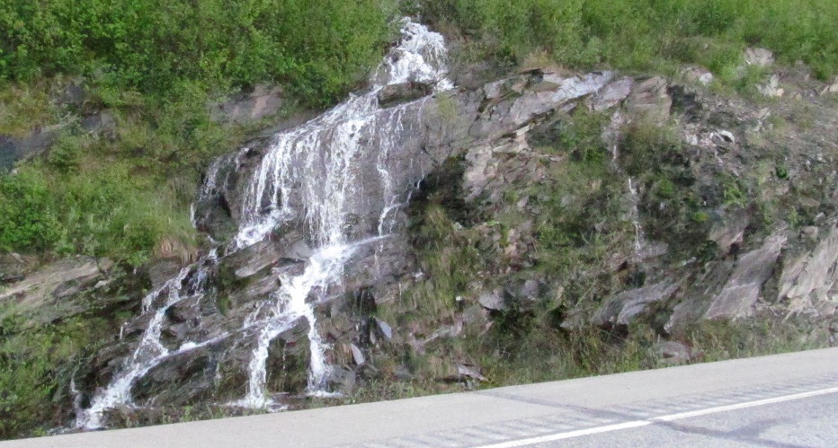
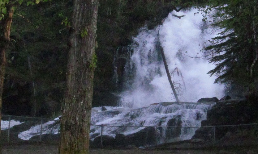
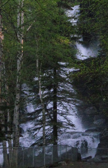
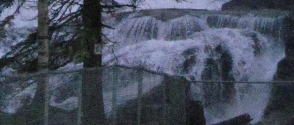
As Highway 97 gets toward Pine Pass, the waterfalls come fast and furious. The 3 photos after the one that isn't a waterfall are all of Bijoux (Jewels) Falls.
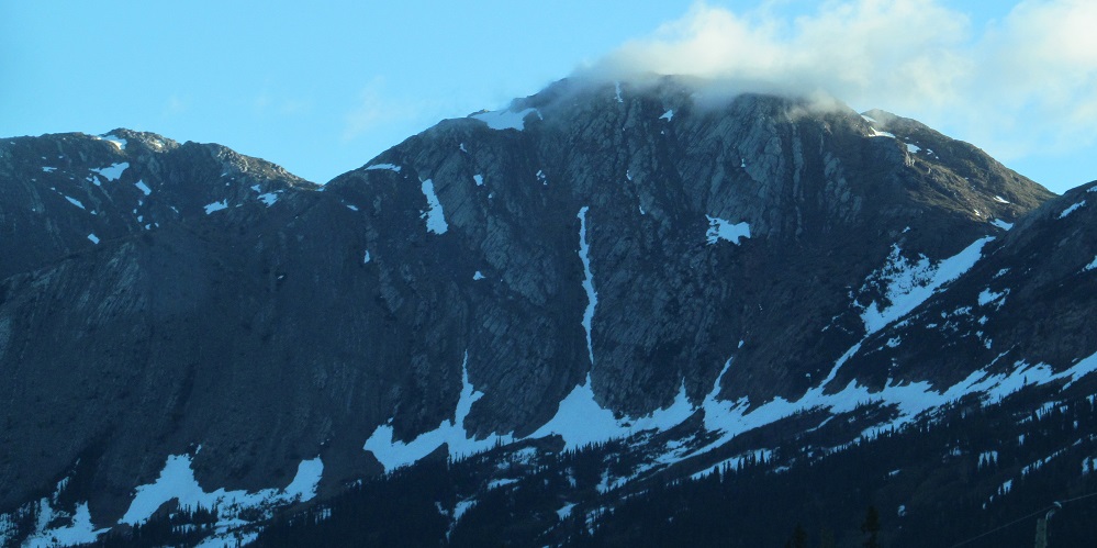
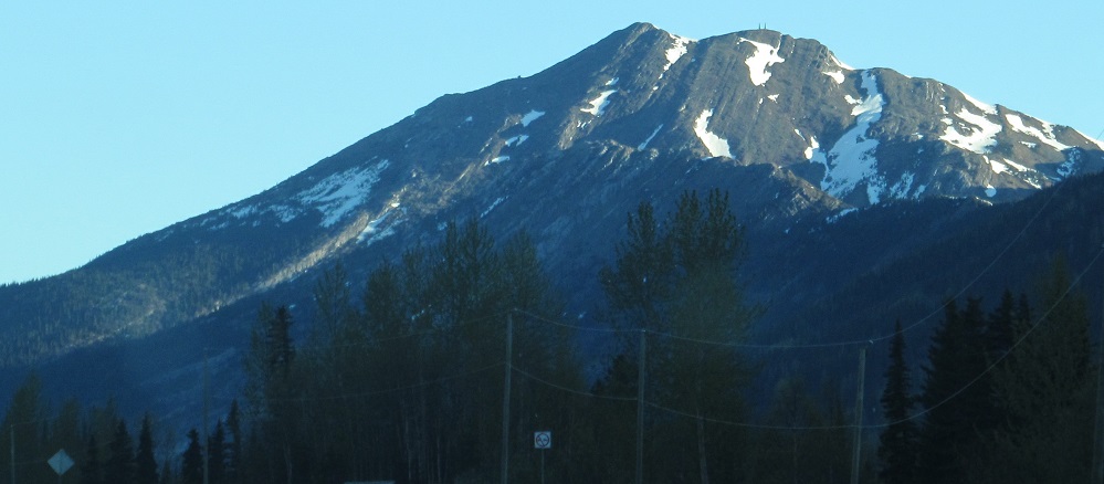
One look back southeast toward Hunter NW5 before I get going from the falls. That's really the best name you could find? How about Alps' Peak?


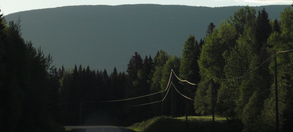
Threading the needle up to Pine Pass.
Continue north on Highway 97
Back south on Highway 97
Back to Highway 97 main page
Back to British Columbia Non-Roads
Back to Non-Roads main page