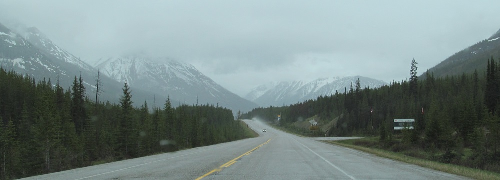
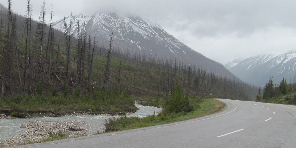
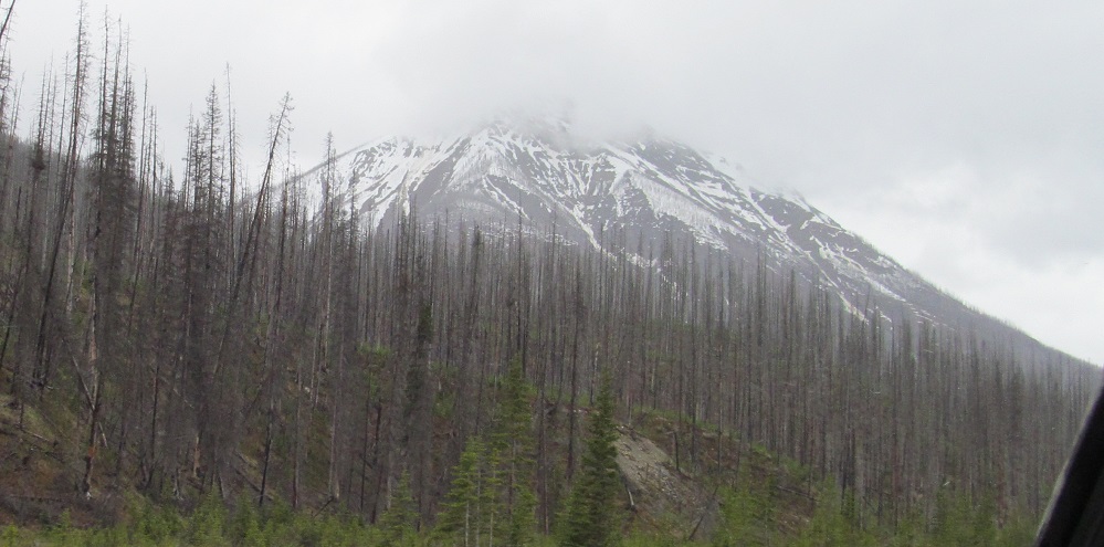
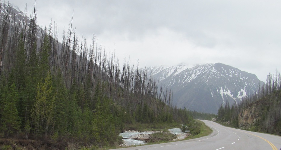
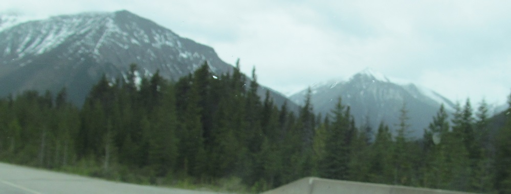
British Columbia - Highway 93 - N of Mt. White Tail
Highway 93 north of Mount White Tail
Fresh from Alberta at Vermilion Pass, from left to right you can see Stanley Peak, Vermilion Peak, Tumbling NE5 (a child of Tumbling Peak), and the base of Mt. Whymper. The Vermilion River begins at Vermilion Pass and flows past Vermilion Peak. It is what it is.
Panning from Storm Mountain on the left, which is part of the Alberta border, past an unnamed ridge to the two sides of Stanley Peak (4th photo) and Vermilion Peak behind it.
Another, similar pan, two minutes later, that extends to Tumbling NE5.
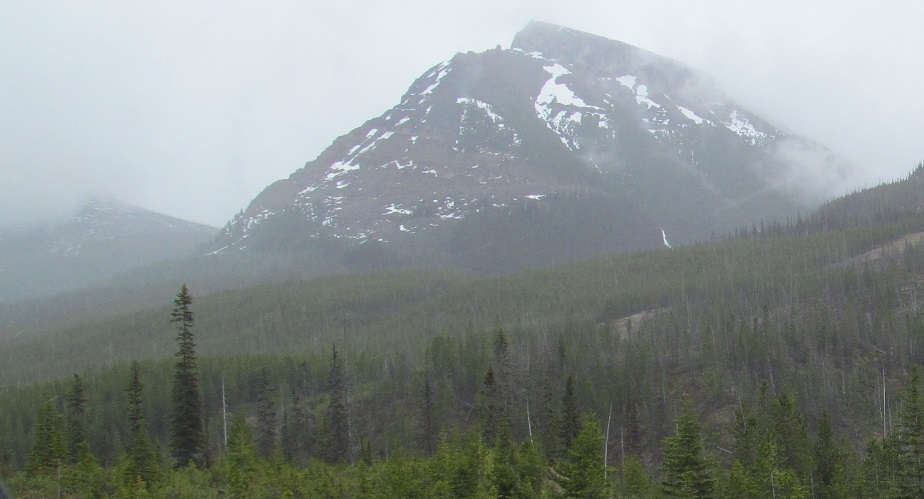
This is the last of Mt. Whymper. Mt. Oke peeks up over its slopeside, then Tumbling NE5 is behind it.
Stanley Peak, Vermilion Peak, Tumbling Peak.
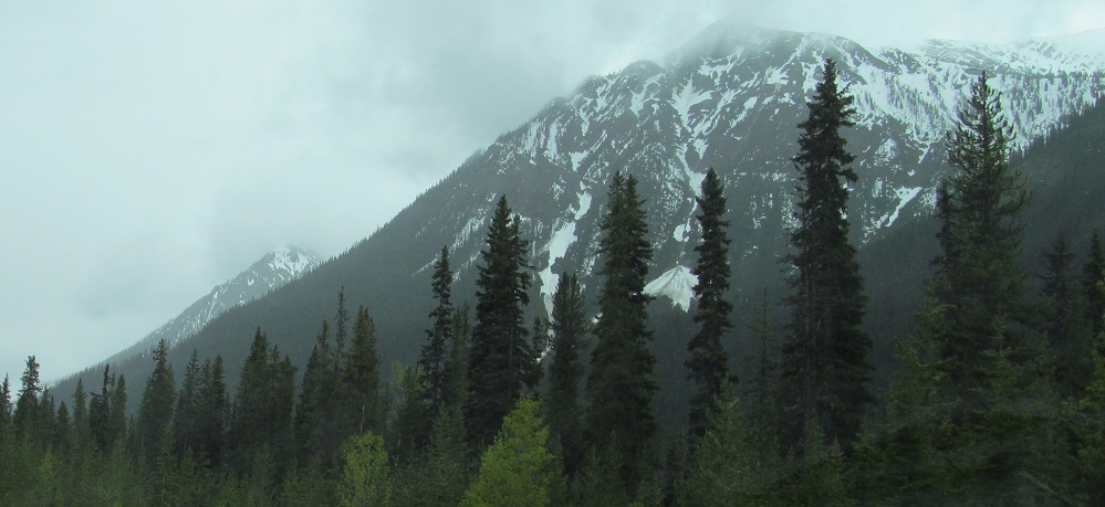
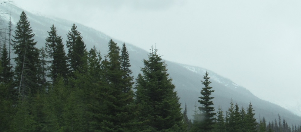
Various views of Vermilion.
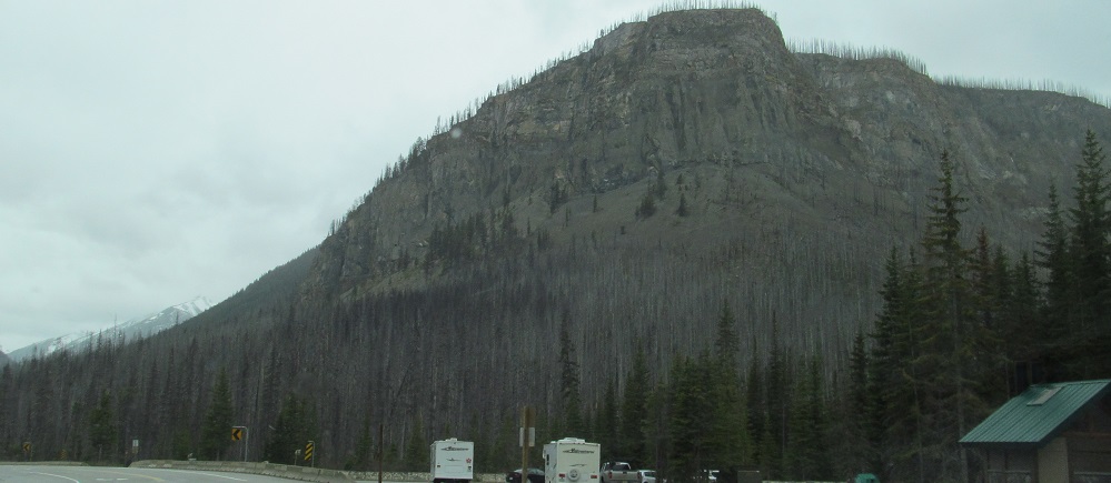
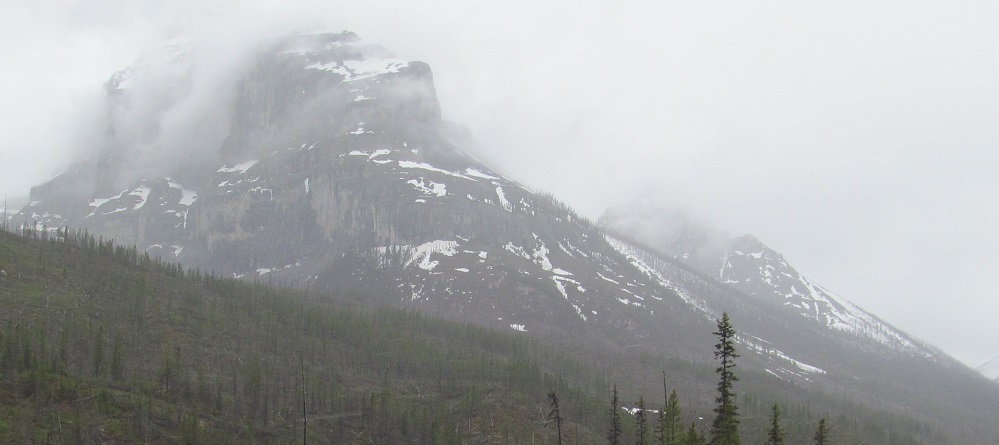
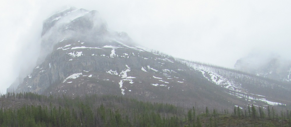
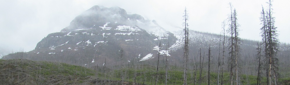
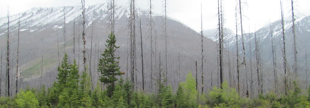
This intriguing rock formation at Marble Canyon is but the far northeasterly corner of Mt. Oke.
A pair of 3-photo pans from left to right: Vermilion Peak, Tumbling Peak, Drysdale NE4 (a secondary peak of Mt. Drysdale).
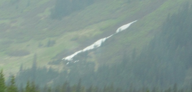
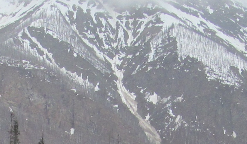
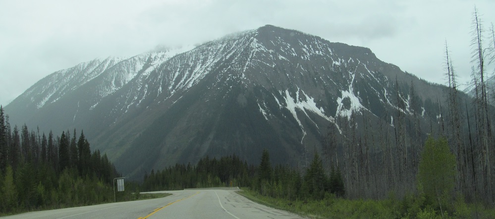
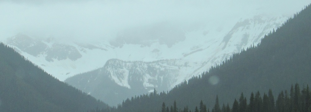
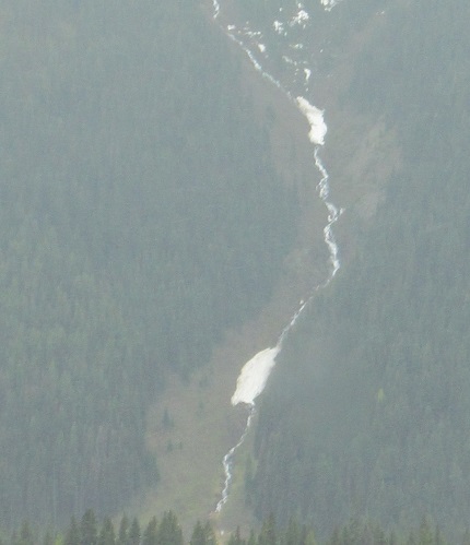
On the side of Tumbling Peak, it's like a waterfall but it hasn't melted yet, so it's just snow. I guess you could call it a... snowfall? Never mind.
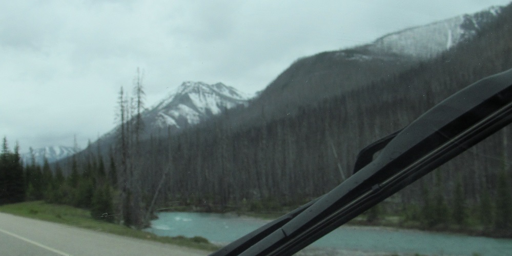
I've come around to the west side of Vermilion Peak. Numa NW3 (of Numa Mountain) is on the left of the 2nd photo, with Tumbling Peak to the right.
Hewitt Peak squeezes between Numa NW3 and Tumbling Peak.
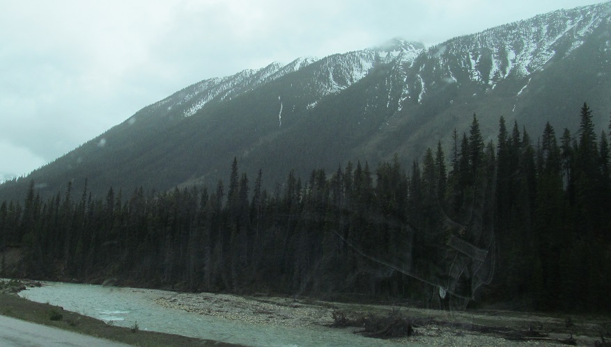
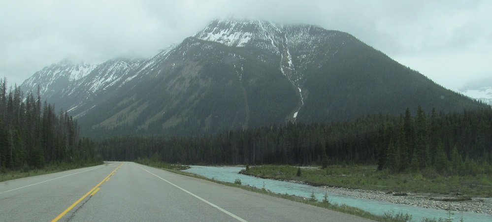
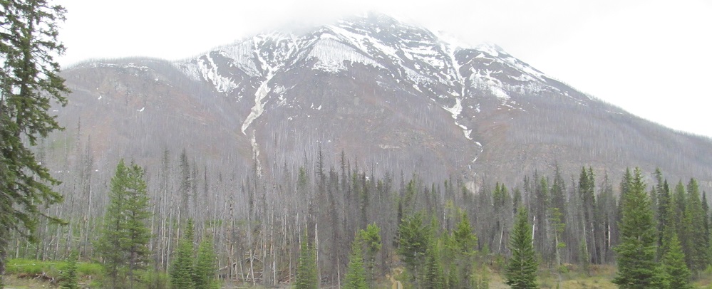
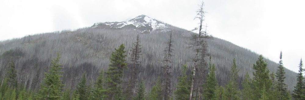
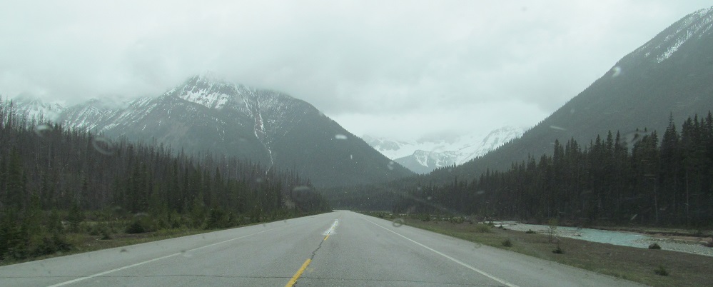
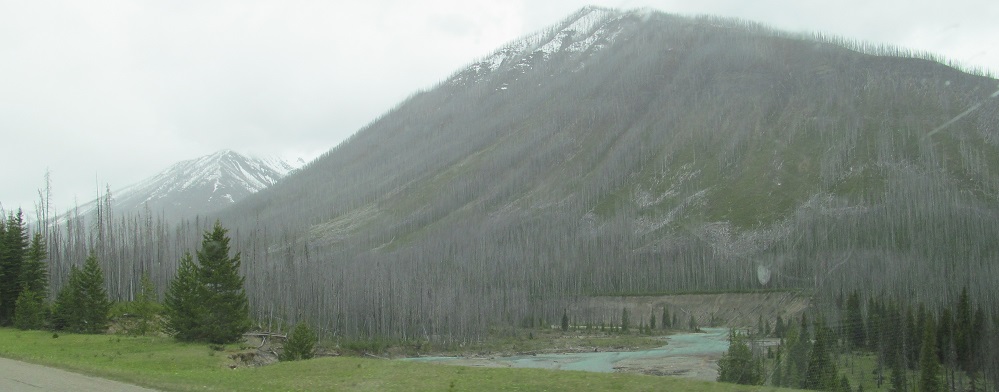
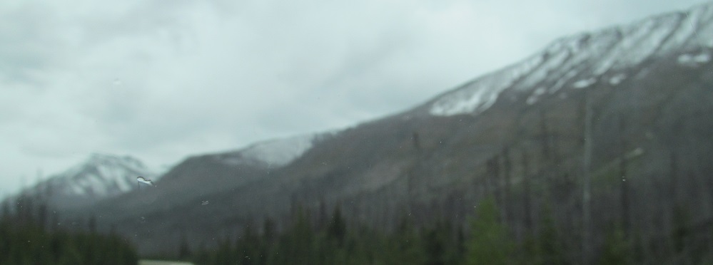
The road has switched sides of the Vermilion River, so now Tumbling Peak is behind it, and then it's Numa, Numa, yay! And it also has snow down its side, like a river but still frozen. I guess you could call it a... you know what, I'm not going to try.
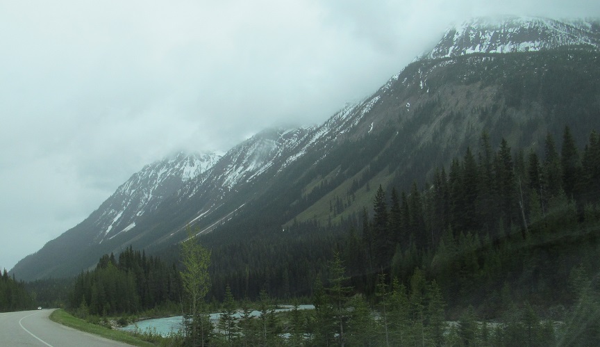
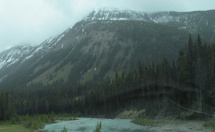
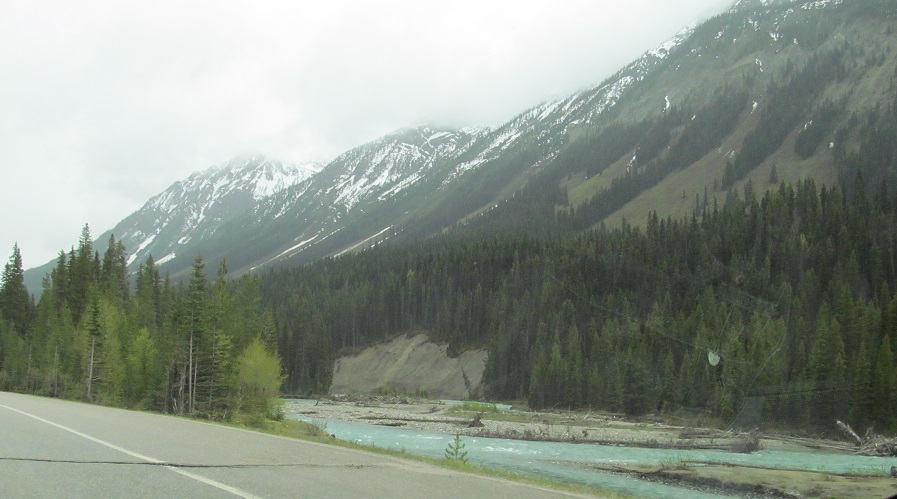
Actually, Numa NW3 is the closest peak, and Mt. Numa's main peak is behind it, as I continue along the Vermilion River.
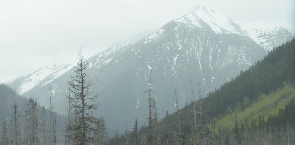
To my left, this is all you'll see of Mt. Haffner, which trails from Vermilion Peak. The front of Scarab Peak is behind that.
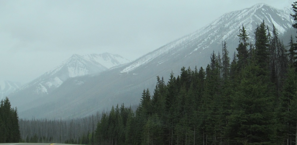
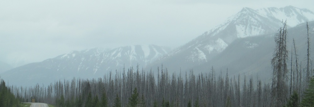
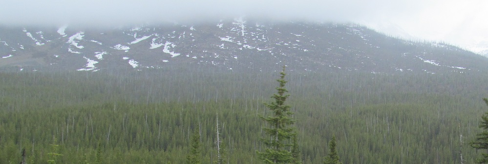
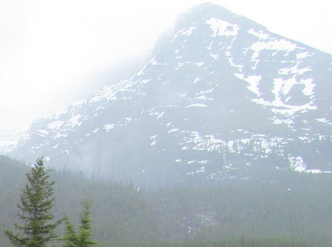
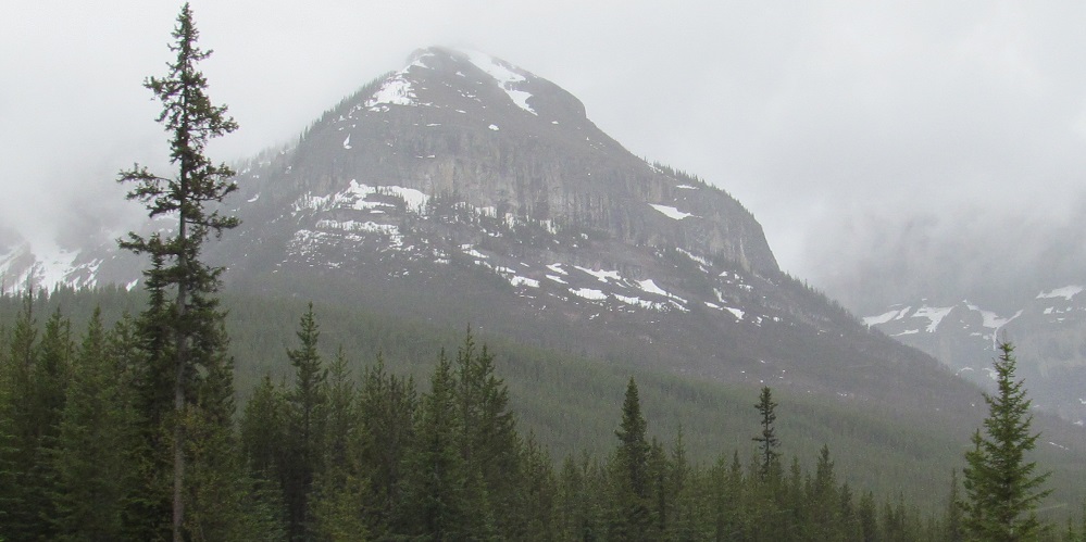
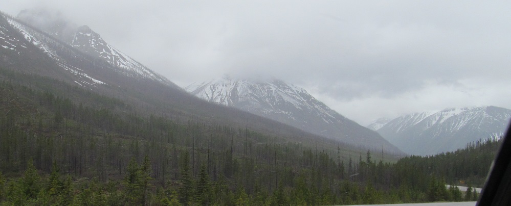
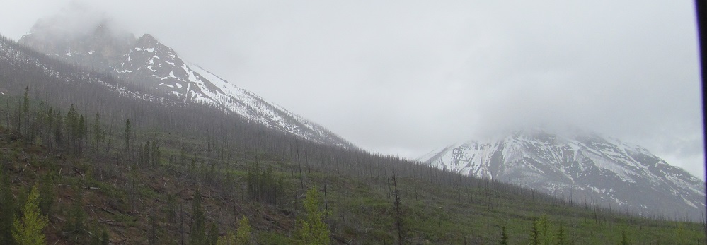
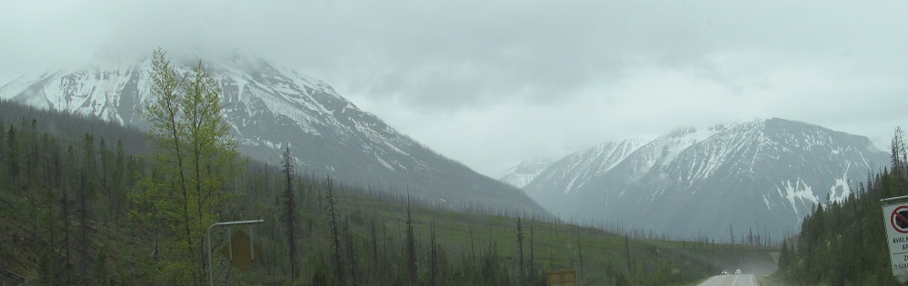
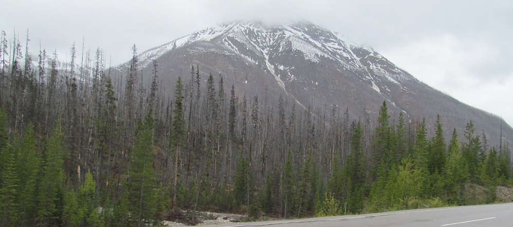
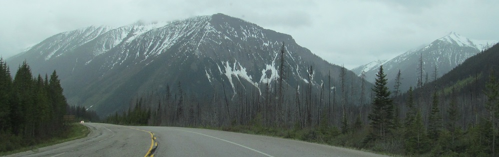
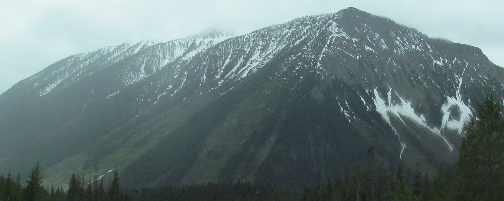
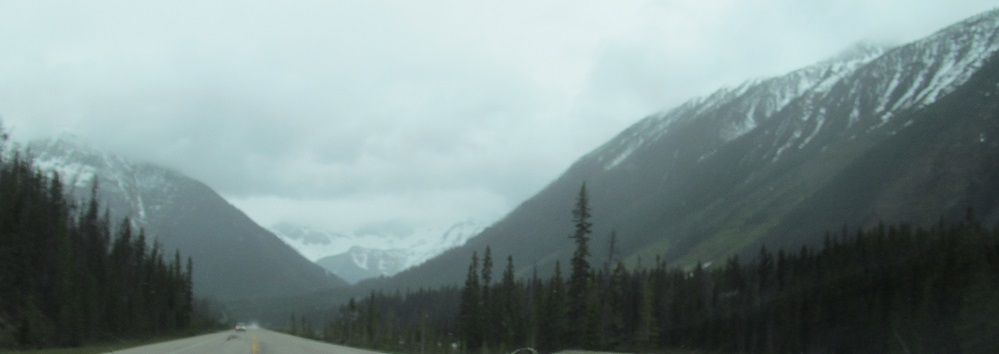
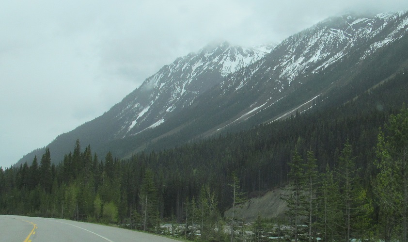
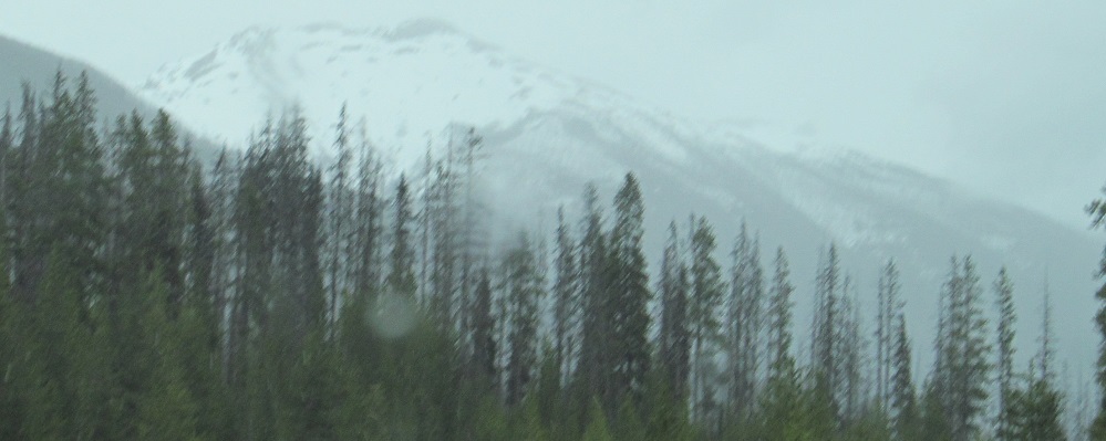
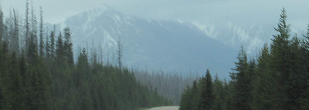
After Numa Mountain comes the two ridges of Mt. Verendrye, and Mt. White Tail beyond it in the last photo.
To my left, Octopus Mountain, looking southwest past Mt. Shanks. You'll see Shanks and more Octopus on the next page. (Not Octopi, it only has one ridge.)
Mt. Verendrye trails into Mt. White Tail, which will start the next page as I approach it.
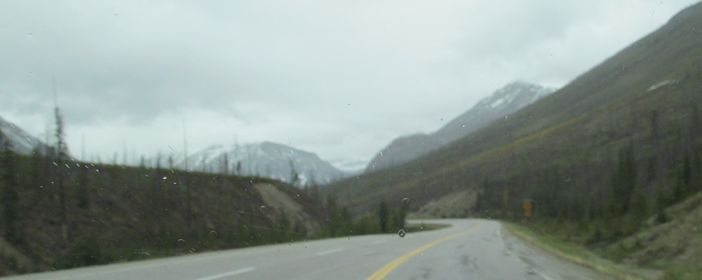
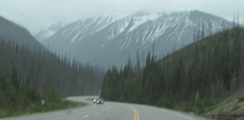
Continue south on Highway 93
Back to Highway 93 main page
Into Alberta on Highway 93
Back to British Columbia Non-Roads
Back to Non-Roads main page