British Columbia - Highway 3 W. of Elko/Highway 93
Highway 3, Crowsnest Highway -
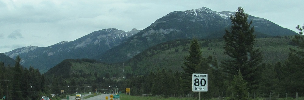
West of Elko and Highway 93
All photos were taken heading southeast.
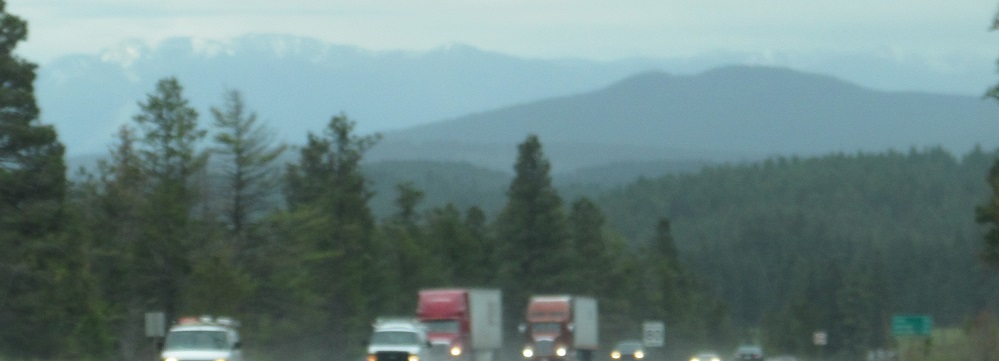
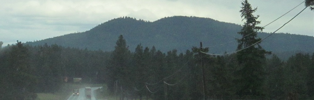
Highway 3 alone, east of Hope, panning from south to north as it junctions the beginning of Highway 5.
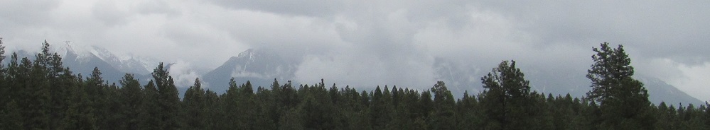
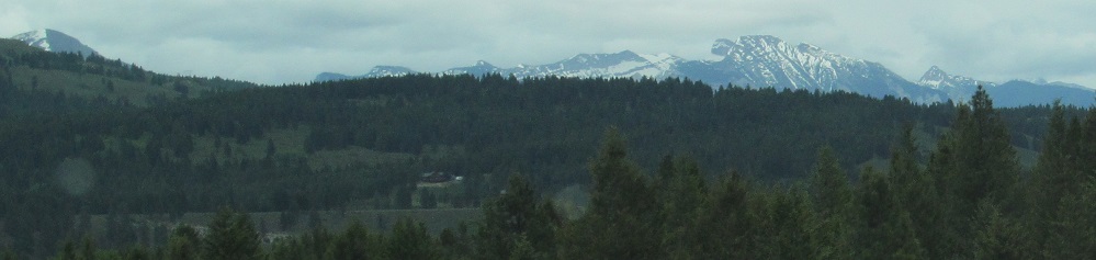
My first photo along Highways 3/93 is of nothing in the foreground. There's a hazy ridge in front of the Canadian Rockies in the far distance down by Elko.
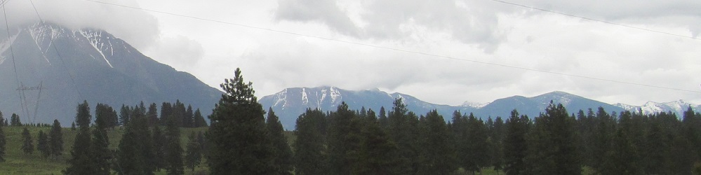
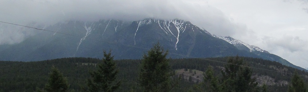
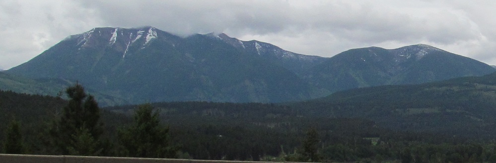
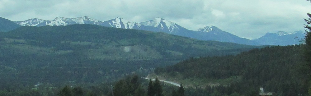
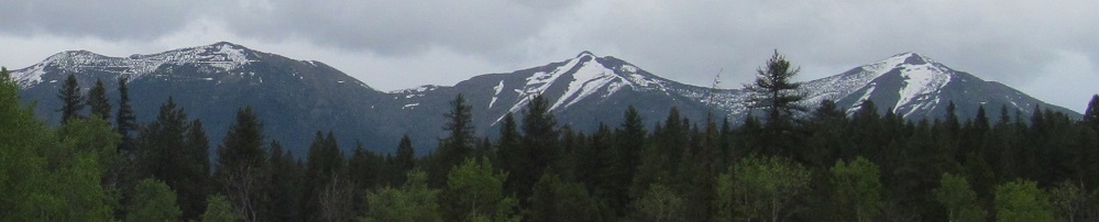
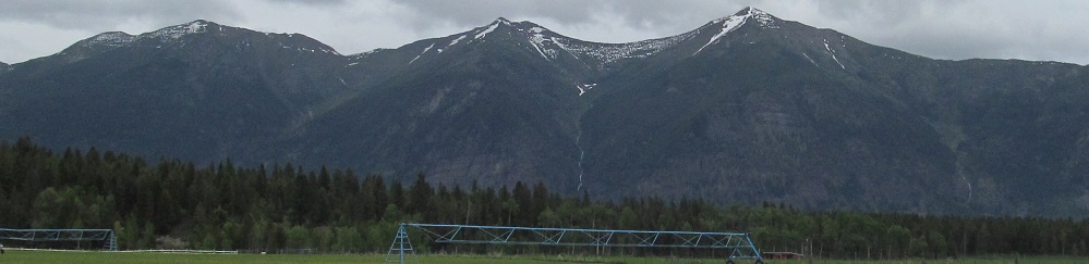
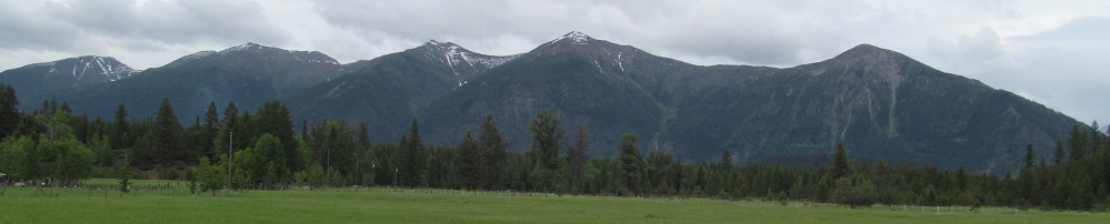
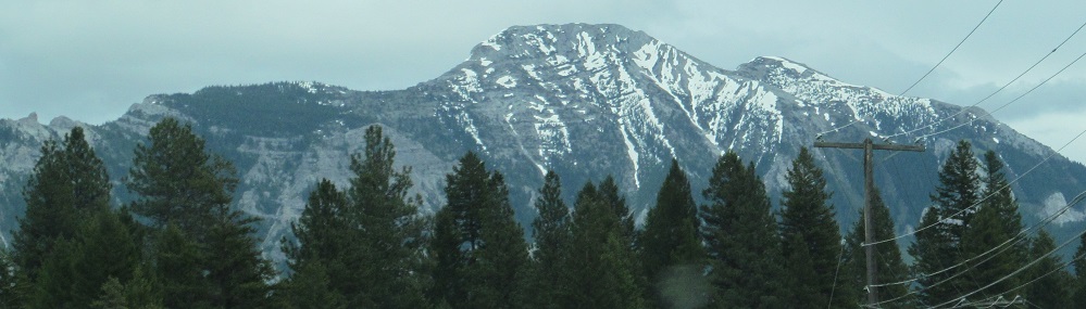
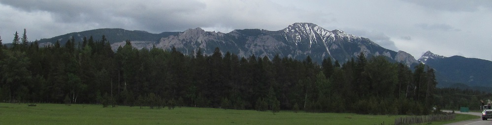
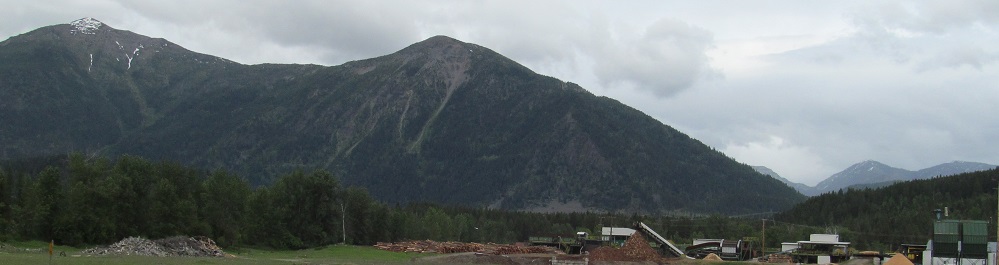
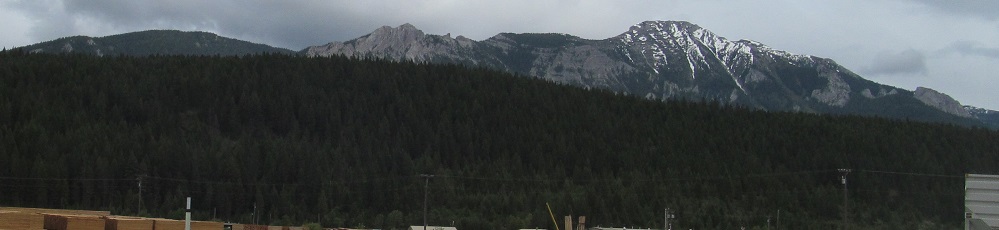
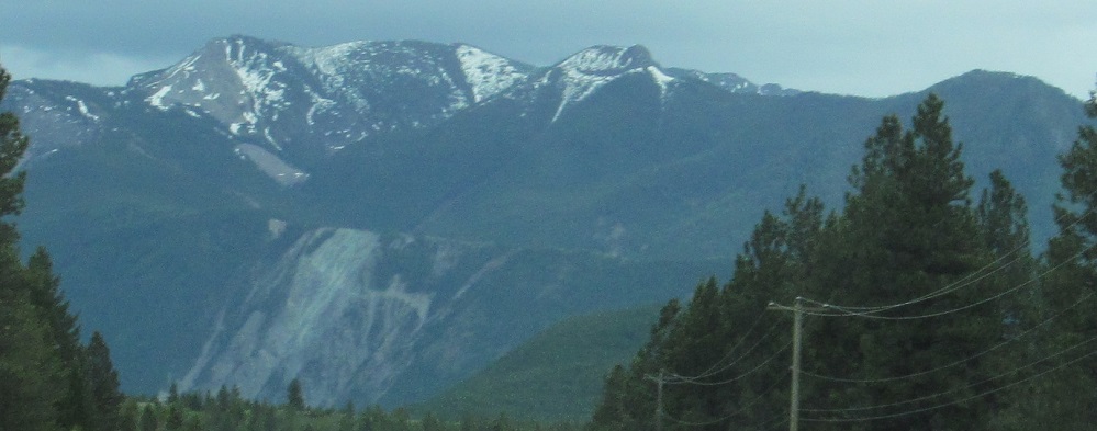
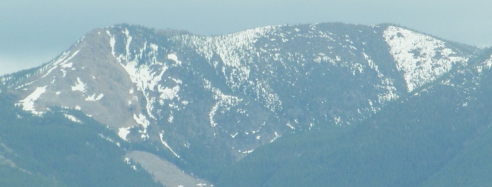
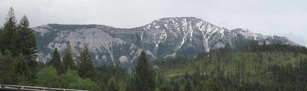
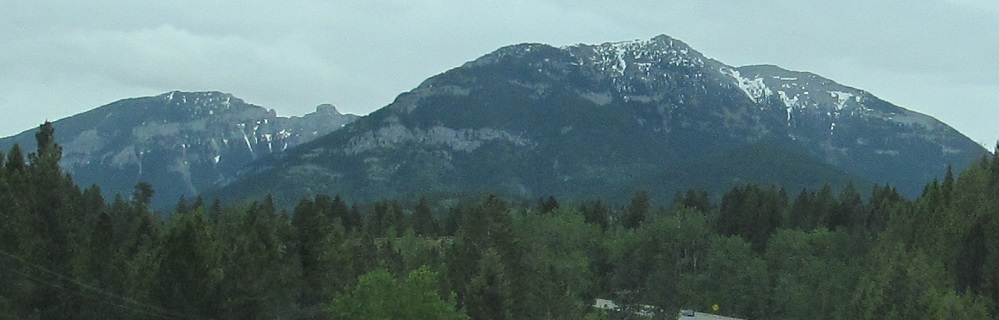
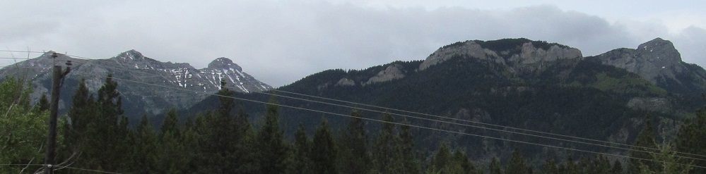
Mt. Patmore is to the northeast, so only peeks into the left corner of the first eastward photo. It then transitions into The Steeples and (2nd photo) Bull Mountain. The 3rd photo shows the gap from The Steeples into Bull Mountain, which then trails into the Lizard Range.
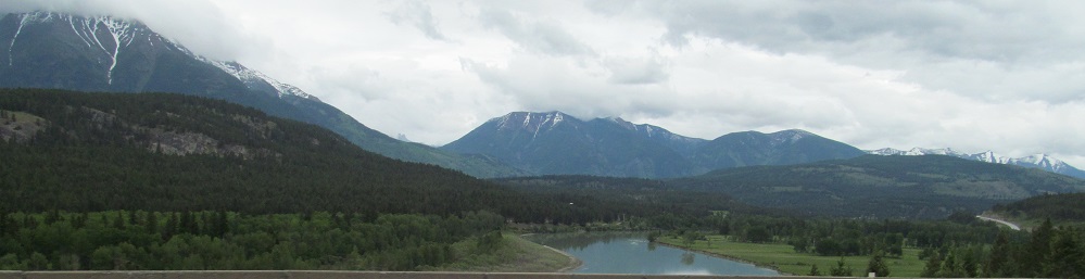
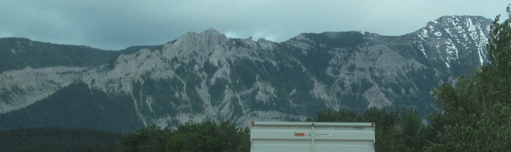
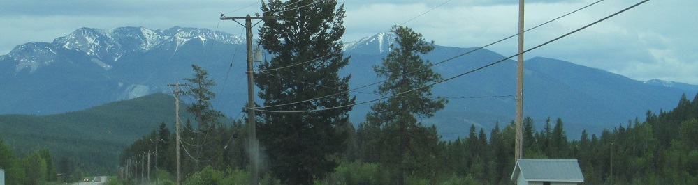
Still not much to the south, here by the BC Hydro Cranbrook substation.
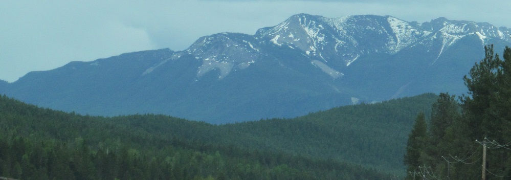
Panning from Bull Mountain into the mountains of the Lizard Range to the southeast. For such a long range with varied peaks, it's surprising none of them are named.
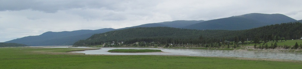
More Bull and Lizard, looking northeast along a bend in the Kootenay River.
Same mountains, another pan. They're scenic and I'm next to them, so deal with it.
That's the last of Bull Mountain, but Highway 3 will be following the Lizard Range on my left for the next page and a half.
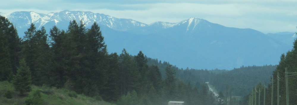
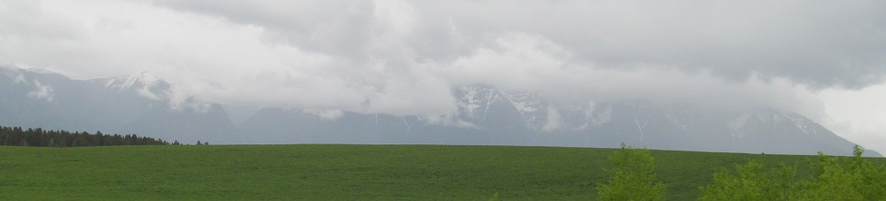
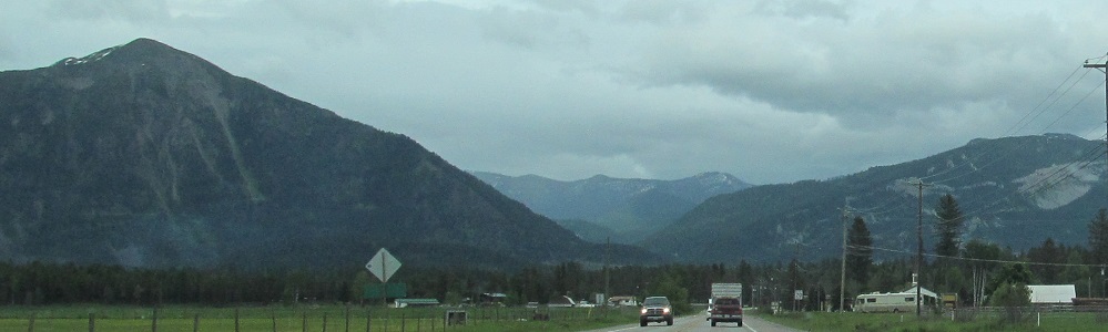
All of these photos look south. Two photos of the Canadian Rockies, still 40 kilometres away but growing ever closer, bracket a look down the Kootenay River where the highway crosses in Wardner.
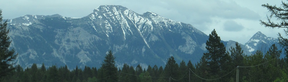
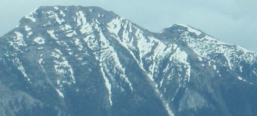
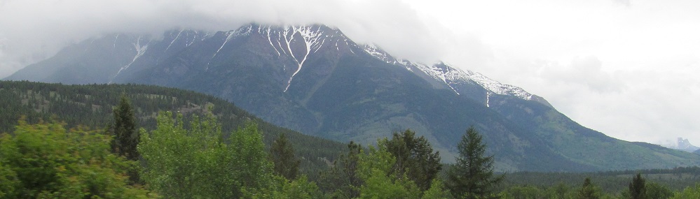
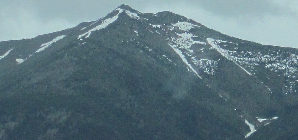
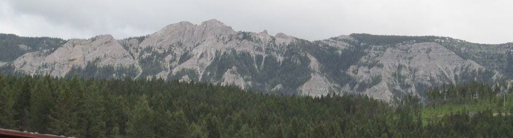
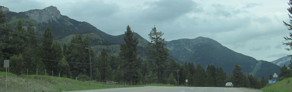
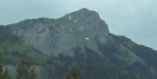
The Lizard Range starts with a few peaks, then comes to the most impressive one.
Photos pan from northeast to southeast on the southeast side of Jaffray.
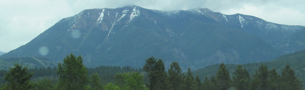
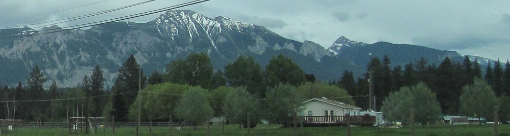
More lacertian views, the latter two from the Jaffray Overhead railway overpass.
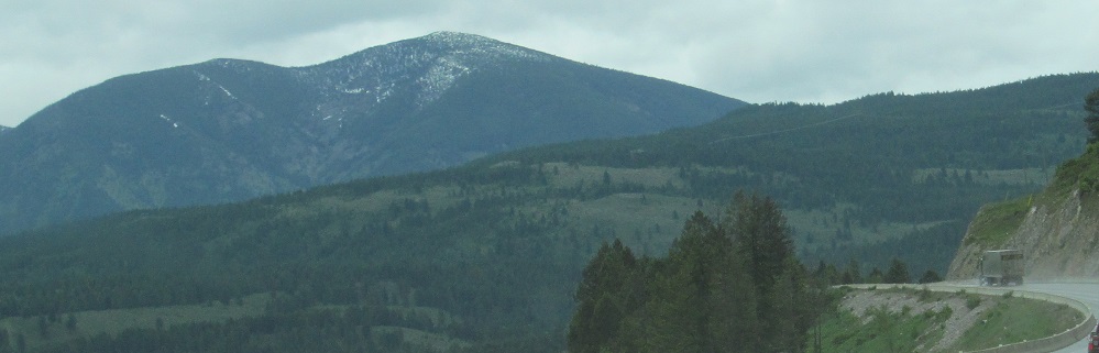
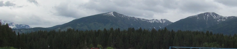
The highway bends at Galloway, so these photos are looking nearly north instead of east. The most lizardly part of the range (the part that looks like one from the air) is the back of the first photo. All the other peaks you see on this page are really from a more westerly subset of the range.
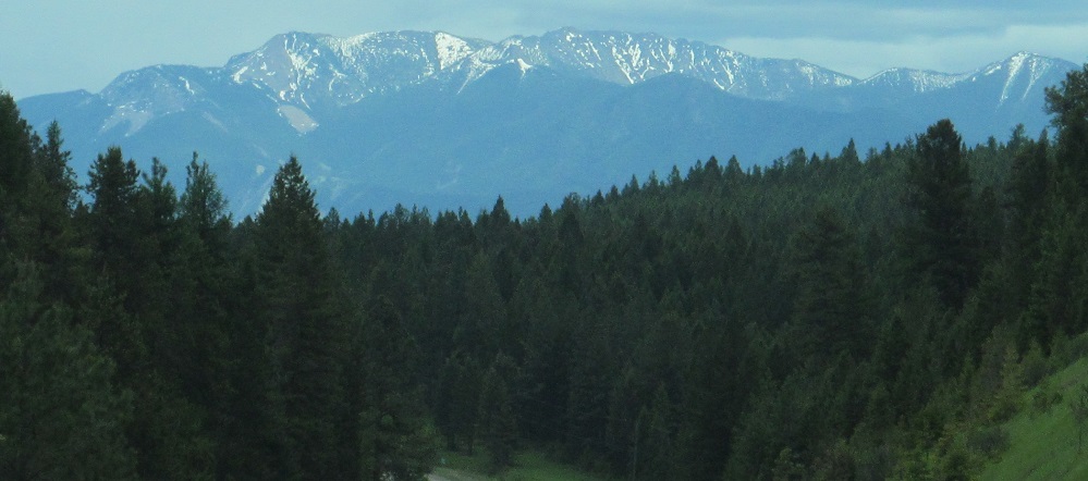
My remaining photos of the Canadian Rockies, ending west of Elko as the roadway curves back east.
I skipped over these eastward Lizard Range photos. Don't worry, there are plenty more to come.
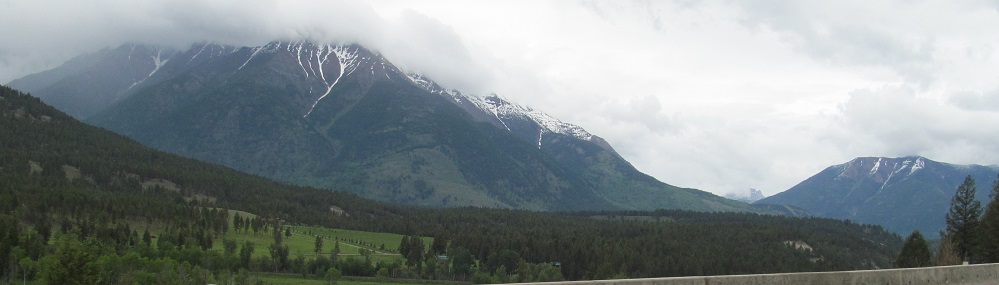
The first photo introduces Mt. Broadwood, which is on the south side of Highway 3 once it splits from Highway 93. The second photo looks north at a different part of Lizard Range. Notice that both of these feature a randomly pointy rock feature on their respective ridges.
The southeasterly foothills and random rocky peak of the Lizard Range.
Closing out this page with another Mt. Broadwood photo - it includes both the peak in front and the ridge in back - and you can see Highways 3 and 93 junction below them.
Continue east on Highway 3
Continue south on Highway 93
Back north on Highway 93
Back to Highway 3 main page
Back to Highway 93 main page
Onto Highway 5
Back to British Columbia Non-Roads
Back to Non-Roads main page