Arizona - I-8 scenery (western)
Western Interstate 8 scenery
Photos progress westward, continuing from the eastern scenery.
The third type of rock, in Sentinel Plain Volcanic Forest. If you can name the other two, go to the head of the class.
Looking back east at those formations, and west out of the forest.
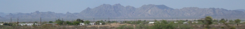
Scenery to the north 20 minutes later. Dust devils look more impressive in 3-D.
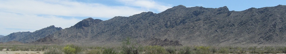
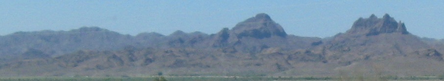
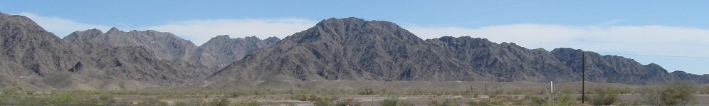
Now the view to the south and southwest, approaching the next ridge.
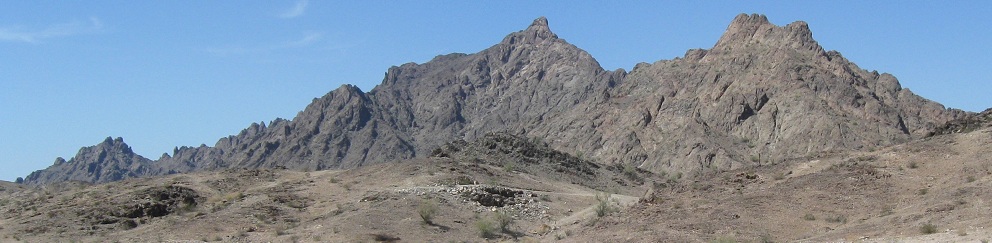
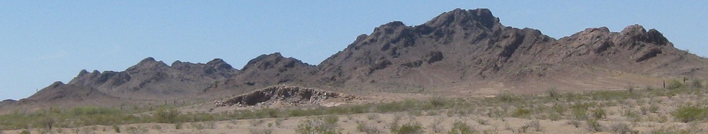
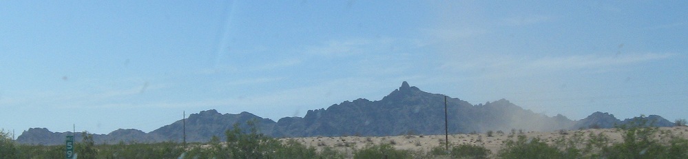
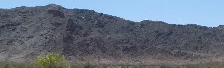
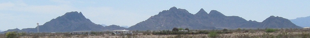
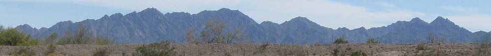
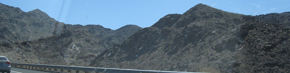
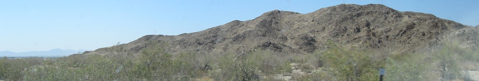
Passing through the north edge of the Mohawk Mountains, looking north.

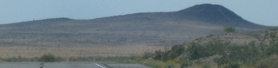
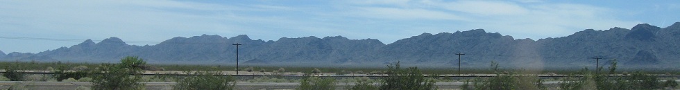
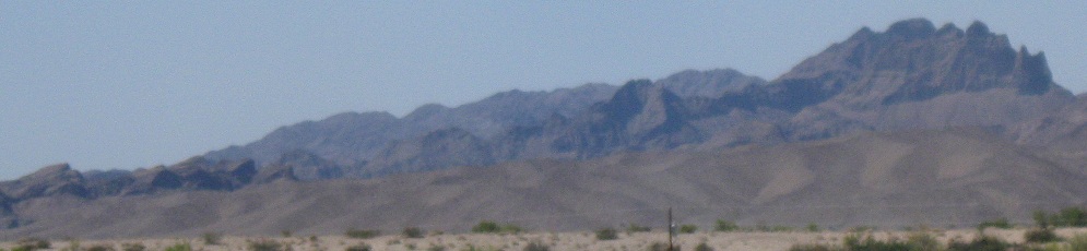
Looking to the south as I continue west from there across the plain.
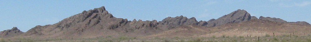
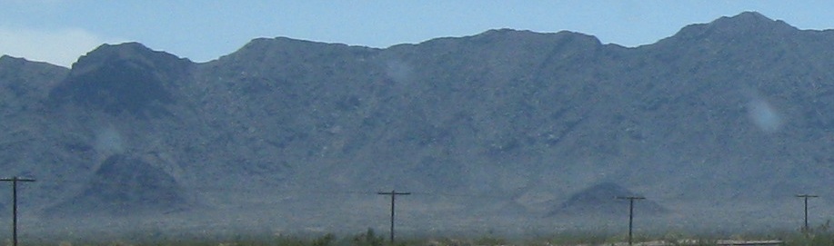
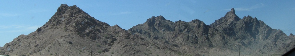
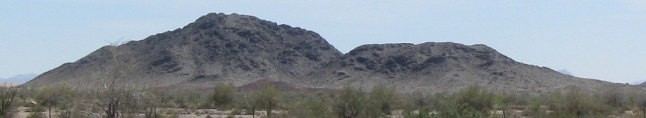
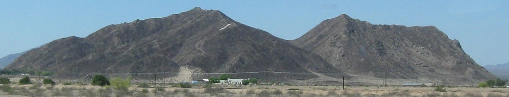
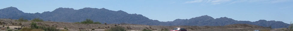
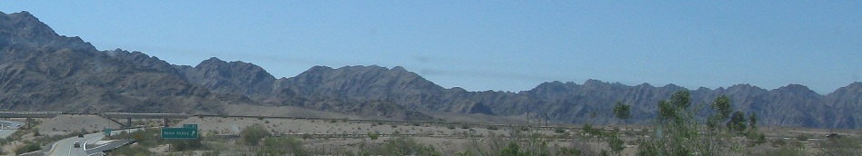
Four miles later, the Baker Peaks, to the south.
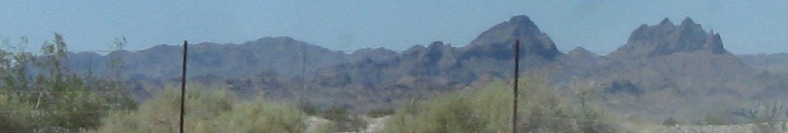
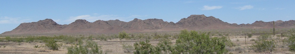
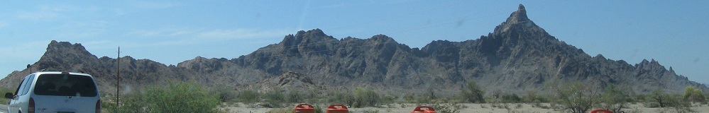
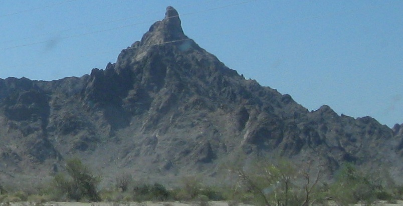
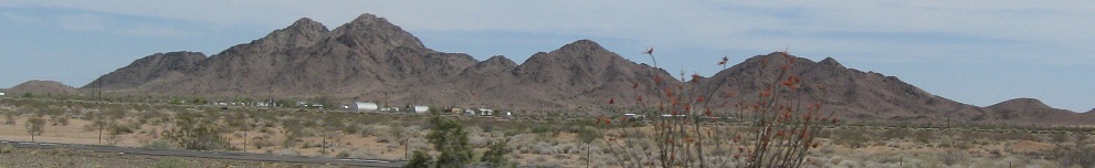
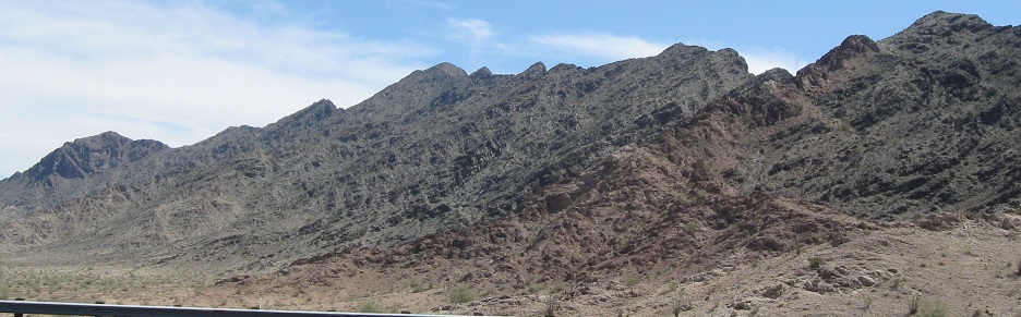
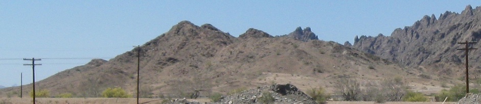
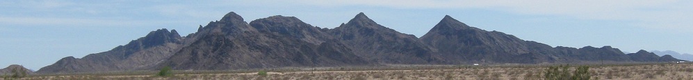
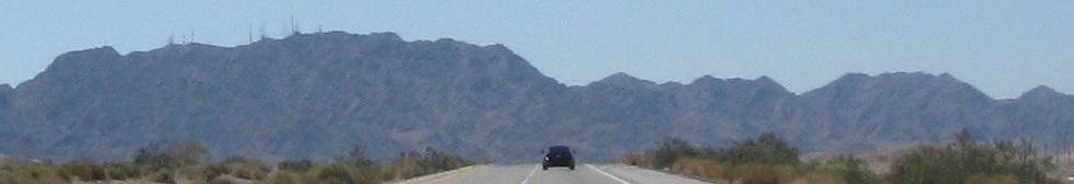
The northern scenery gets funky, for the first time along I-8. These are the Huggins Mountains.
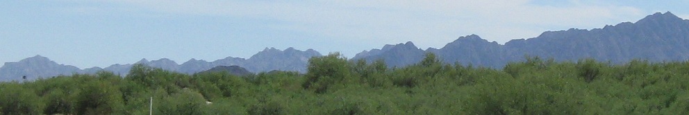
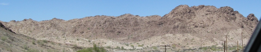
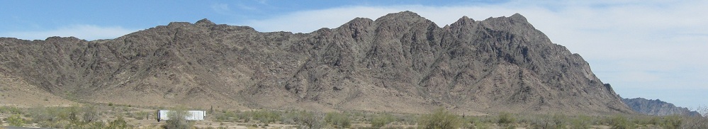
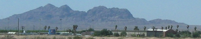
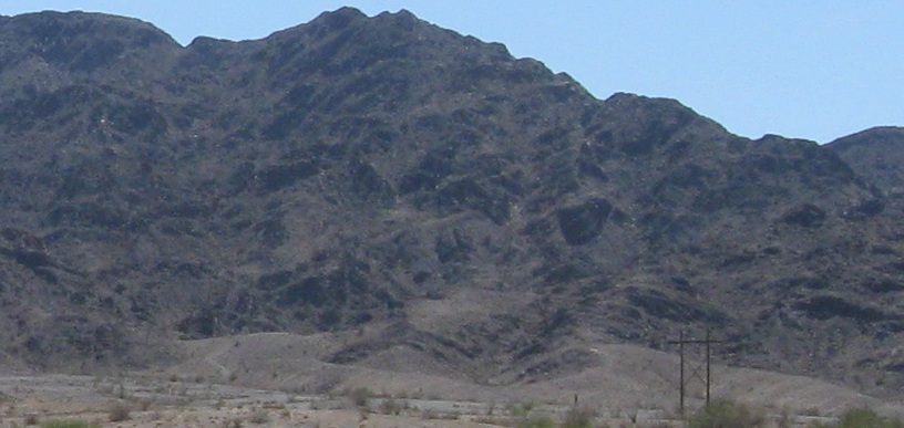
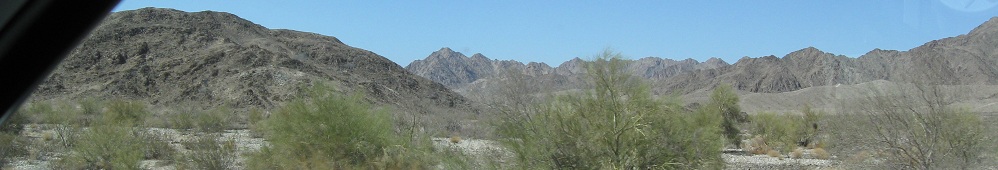
A rare glimpse of greenery to the south as I enter the Gila Mountains, the last barrier before Yuma and then California.
Through the Gila Mountains, notable road-wise for having one of the longest wrong-way road sections in the country (if not the world). Half of I-8 follows the old US 80 grade, while the other half was built in the next canyon over, but Arizona found it more expedient to accomplish this via a pair of crossovers than to try to bend the roadways to its will. If that interests you, click below to the road photos to see more of the crossover and explanation.
Back east on Interstate 8
Back to I-8 main page
Continue west into California
Road photos from Interstate 8
Back to Arizona Non-Roads
Back to Non-Roads main page