Arizona - AZ SR 80 scenery - W. of Douglas
State Route 80 scenery west of Douglas
Photos progress westward.
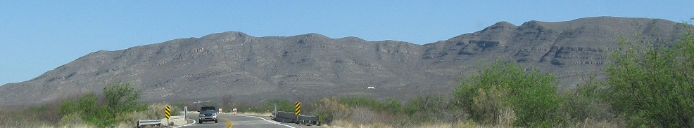
Looking mostly southwesterly.
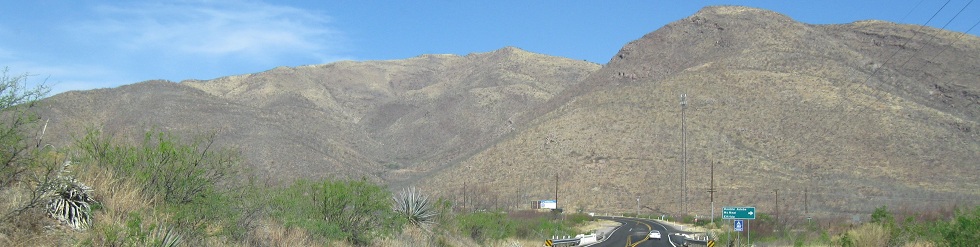
Heading west up to the junction with Central Highway, which leads to the provocatively named Double Adobe. To me, it's like Double Chocolate. If the sign promises twice as much, why would I settle for plain old Single Adobe?
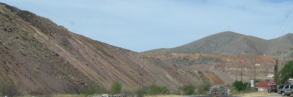
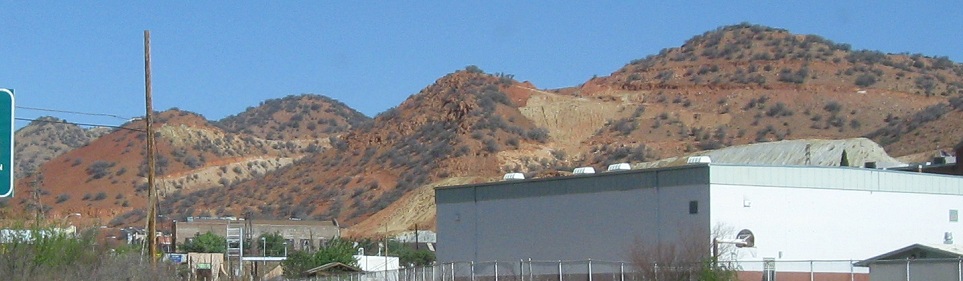
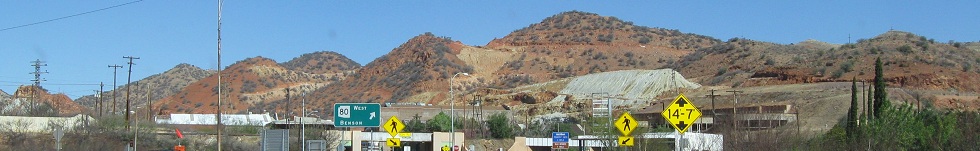
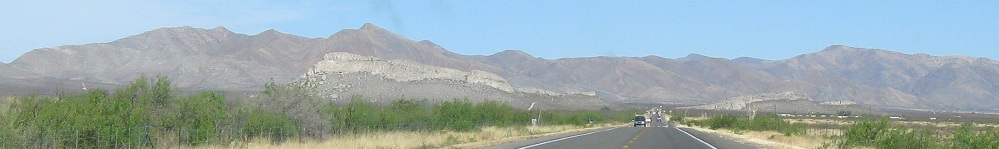
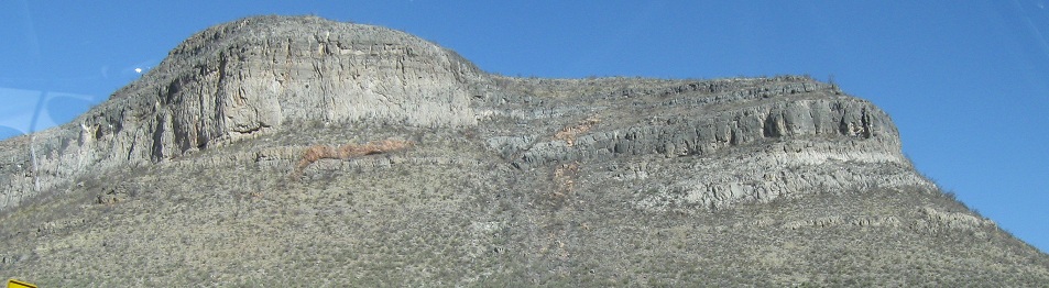
As I captioned on the main page, the hills are briefly very red around Bisbee. Photos look west or north, never south.
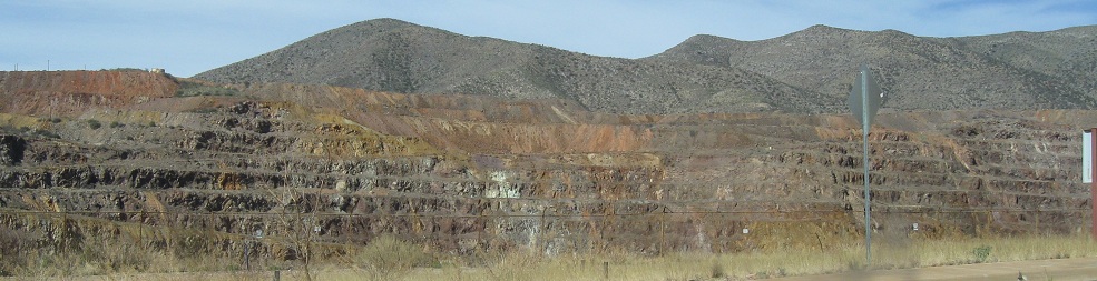
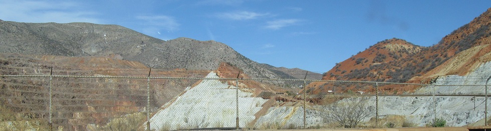
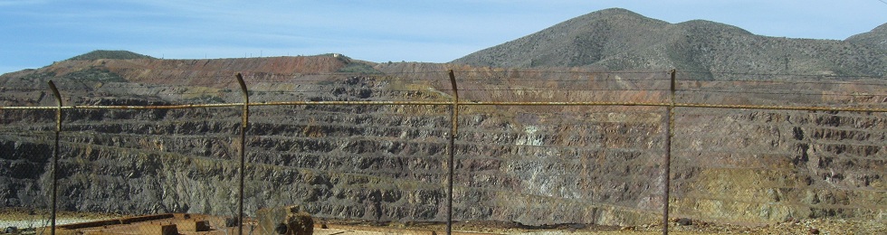
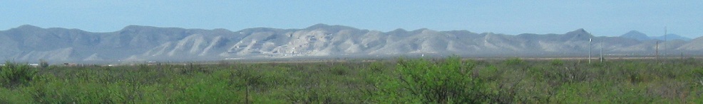
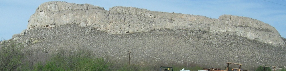
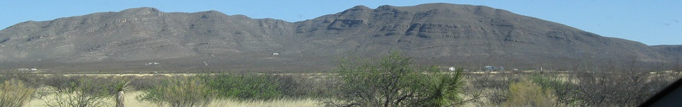
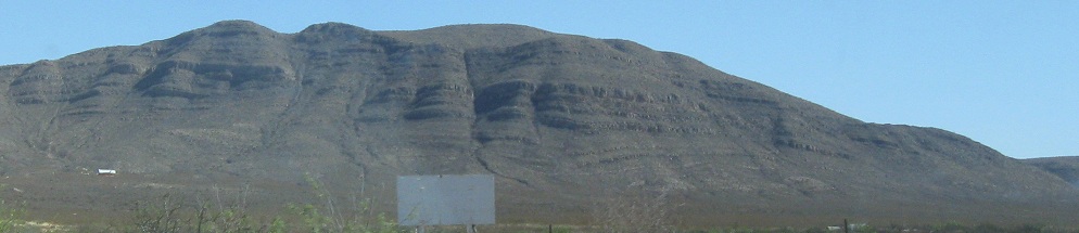
Mining scars the cliffs on the south side of the road.
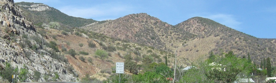
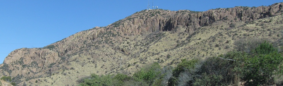
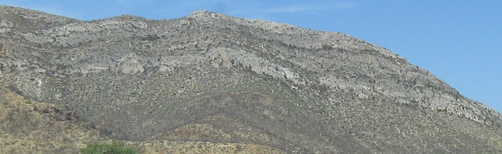
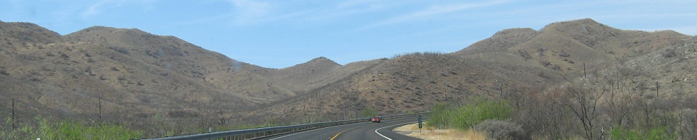
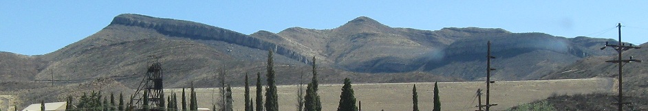
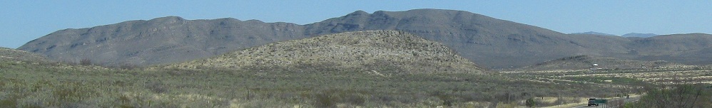
Through the Mule Pass Tunnel and on from Bisbee into the desert wilderness.
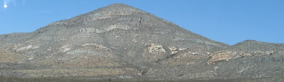
Looking south.
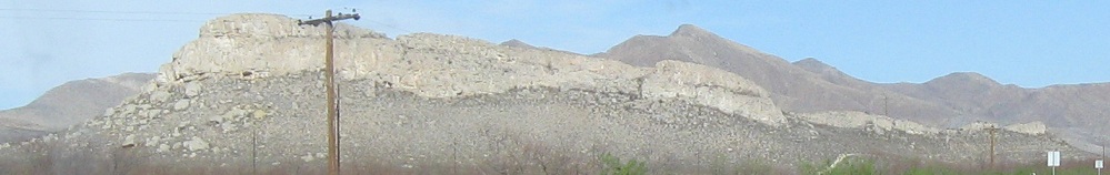
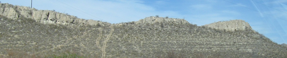
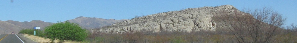
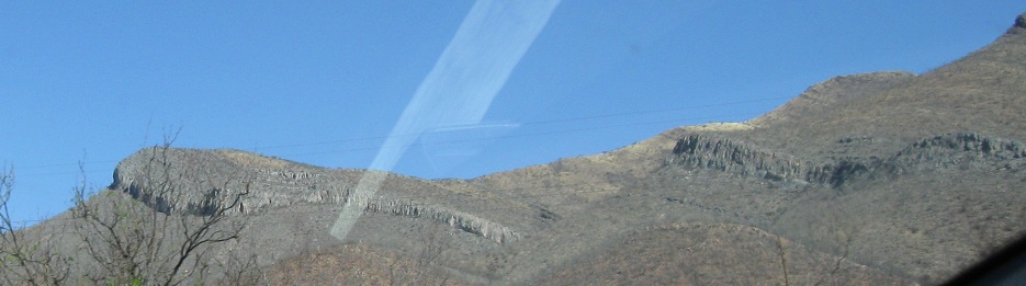
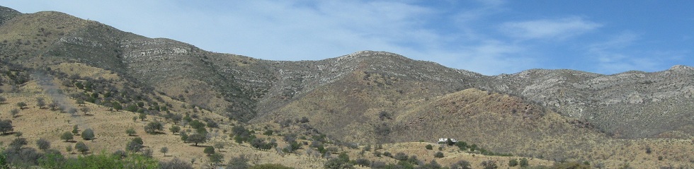
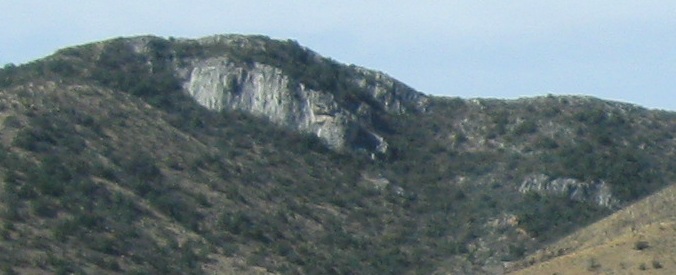
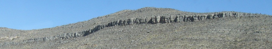
Okay, do you see what I see in the second photo? Look all the way at the top left. That's unmistakably a human figure perched atop the rocks, but the scale seems disproportionate. Who or what did I photograph? Does Paul Bunyan live?
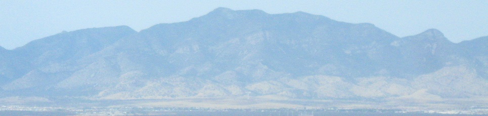
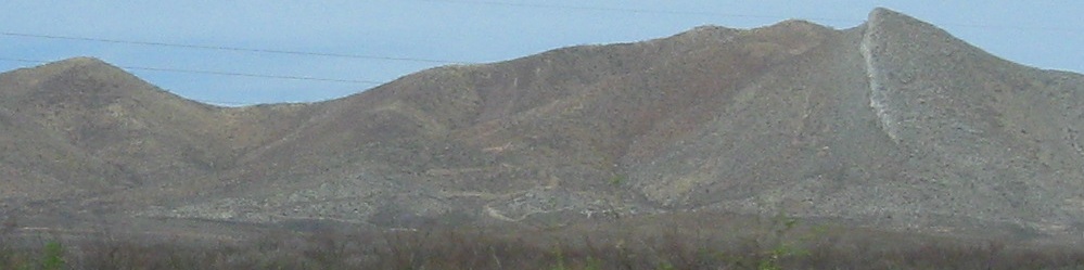
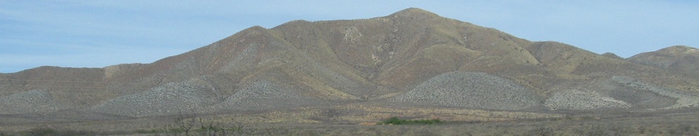
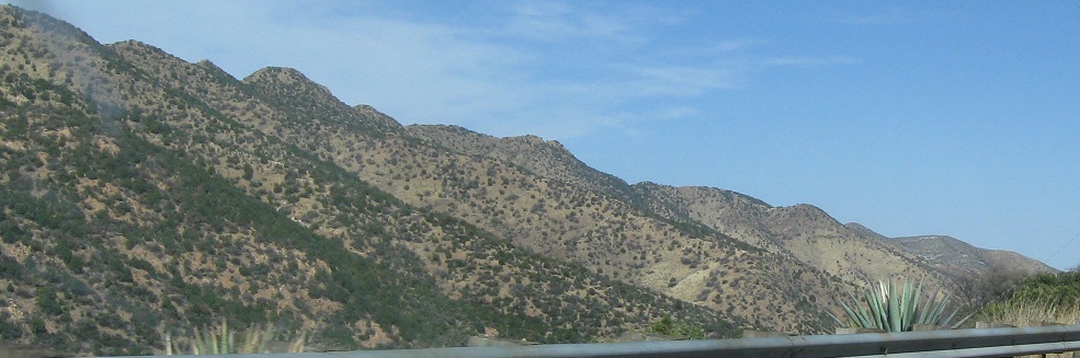
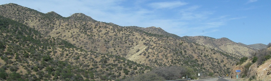
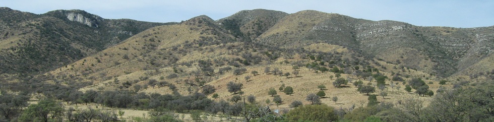
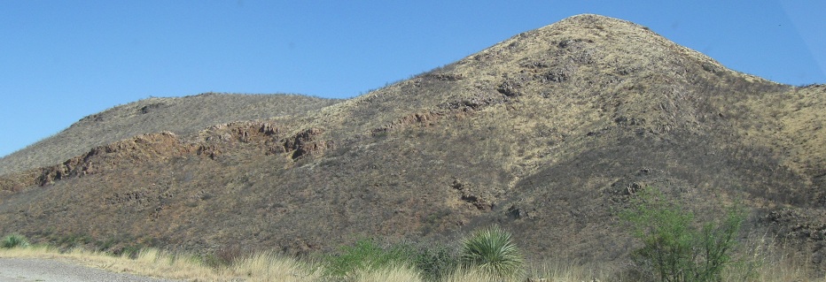
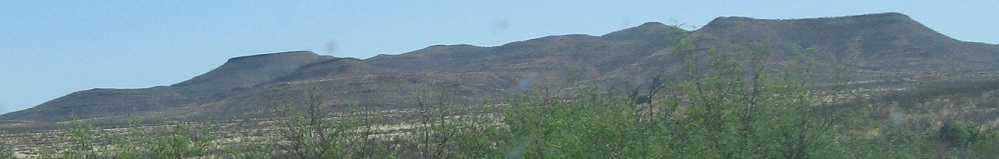
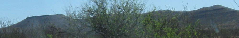
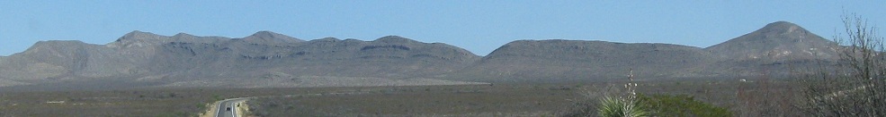
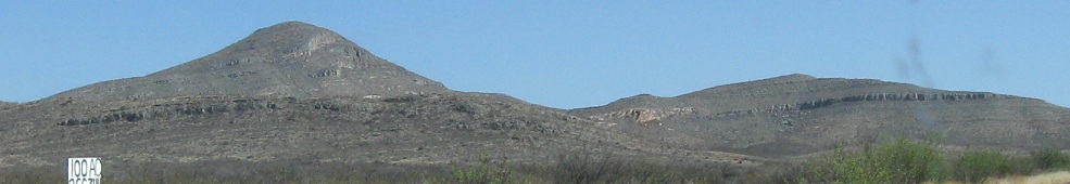
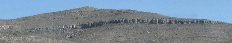
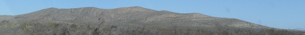
Some southern scenery.

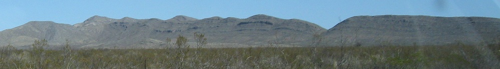
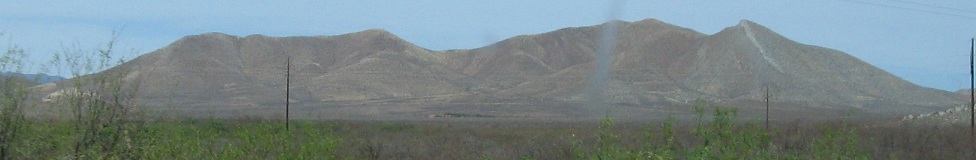
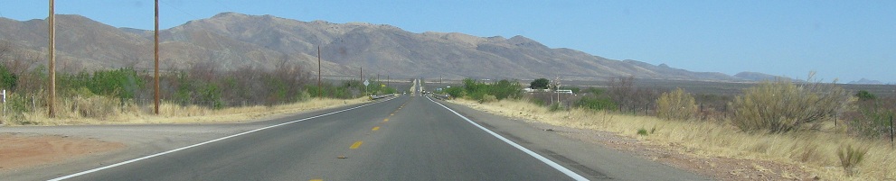
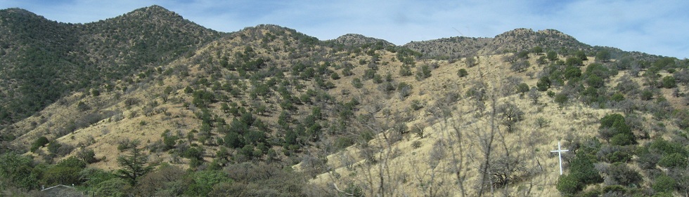
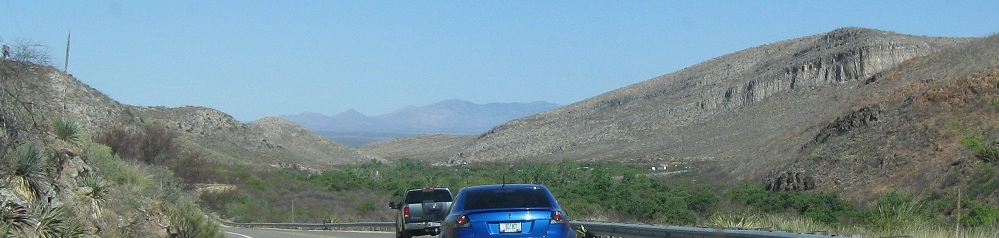
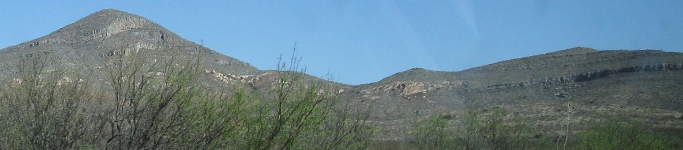
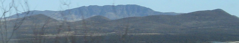
Looking north and continuing west. No men this time.
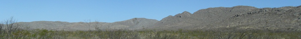
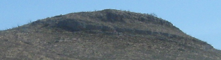
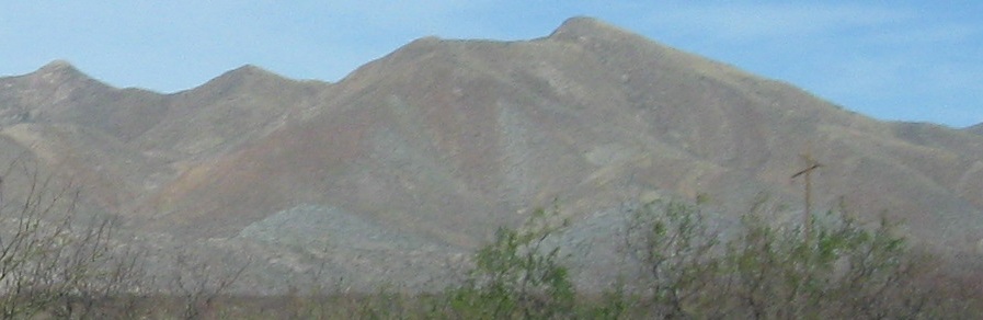
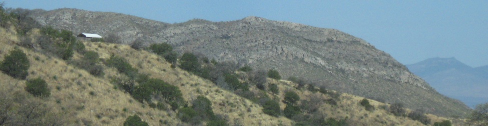
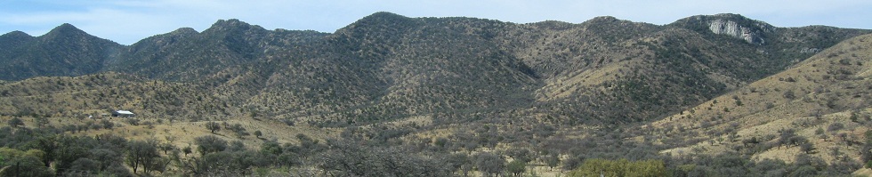
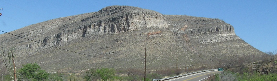
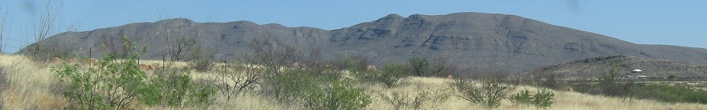
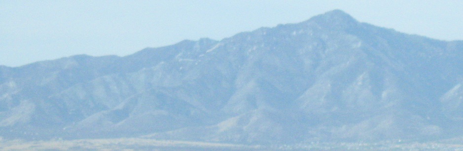
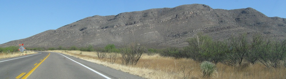
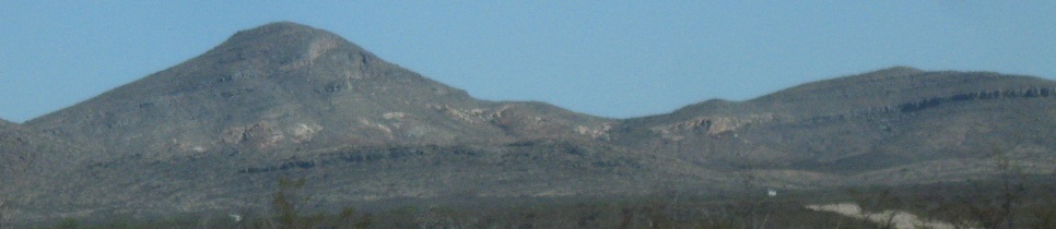
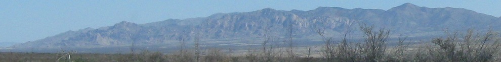
The last set of southward photos.
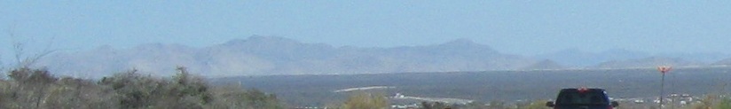
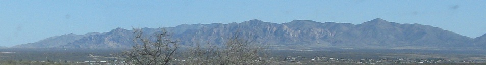
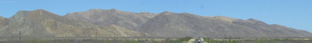
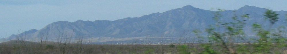
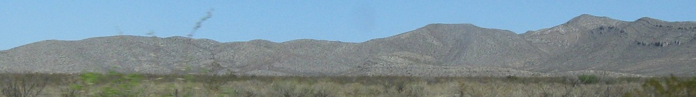
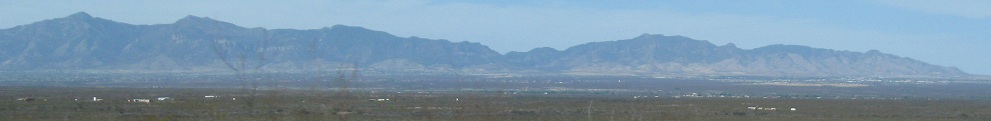
More northerly scenery (or just due west for the third photo). The last photo has Tombstone in the foreground.
Continue west into Tombstone
West to State Route 82
Back east on SR 80
Back to SR 80 main page
Road photos from SR 80
Back to Arizona Non-Roads
Back to Non-Roads main page