Alaska
Alaska

Getting Baked on the cruise ship.


The '70's never died in Alaska, a state so cold it literally froze in time. Well, not literally. Inside that Carrs in Anchorage, one finds more from the disco era.

One also finds Steap... Steaz... Steap... Steaz... Aw heck, it doesn't matter, we're not gonna sell any with either spelling. (Someone, strangely, had already trademarked the Steap name or something similar. For something tea-related, even. This photo was during the switchover to Steaz for this brand.)

The village of Ketchikan, southernmost sizable town in Alaska.

Another Alaska joke: when it gets warm, people are so not used to it that they do crazy things, like changing a ship's paint job from red to blue. Or maybe they're just re-applying the protective coat. We're painting the cruise ship red, yes painting the cruise ship red!

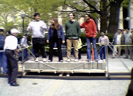
Saxman Native Village, south of Ketchikan. You can see the spirits.


First Skagway, and then Juneau, which is the largest city south of Anchorage and the most legislatively important. The capital is only still here because it would cost too much to move it northward; there may be a highway tunnel coming soon, the first outside access to Juneau other than by ship or plane.


Mendenhall Glacier, Juneau's own, and the ice in its glacial pond. There are even tasty glacial ice cubes floating in the water.


The beautiful Inside Passage, calm waters that are host to all the traditional Alaskan wildlife, including sea otters, orcas, humpback whales, bald eagles, and various types of salmon and seabirds. Also host to four cruise ships a week.


Entering Glacier Bay.


Two of the three impressive glaciers in Glacier Bay, John Hopkins and Lamplugh.


Margerie Glacier, at the very end of Glacier Bay, is a very active one. If you look closely toward the left of the second photo, you can see the glacier calving.

College Fjord, in which there are over 20 glaciers all named for universities - women's on one side, men's on the other. There are more women's glaciers, but the men's are bigger, including the two biggest, Harvard (to the left in the photo) and Yale (to the right). Man, those two schools are competitive. They were all named by the same explorer, though.

The Coastal Range, home of several near-10,000-foot mountains, a fairly young range too along the volatile Pacific Rim that is known in Japan for being a hotbed of volcanic activity (see Mount St. Helens below; the Cascade Range is also part of the rim).

Mount McKinley makes a rare cloudless appearance. The only good view of the mountain is to the south on Alaska Highway 3, and only early in the morning can it be seen clearly before clouds set in. For perspective, the little peak on the western ridge is taller than any mountain in the contiguous U.S. (over 15,000 feet). Denali (the new politically correct name) is almost 21,000 feet at the taller of its two peaks.
Remaining photos are from the White Pass & Yukon Railroad. This railroad was constructed more or less along the route of Klondike 2, aka YT 2, BC 2, and AK 98. It runs from Skagway AK, along Dead Horse Gulch (think Trail of Tears for the poor horses of the 1898 Klondike gold rush), through White Pass, and into British Columbia, where it continues northward into the Yukon and up to Whitehorse and beyond. The scenery here, though, is confined to the first short section, running from Skagway to the BC customs station, which happens to be around 10 miles past the AK/BC border.

That little scratch in the rocks was trodden by tens of thousands of gold seekers over a century ago, and is now marked by just that little black on white sign. Most of the route, as you can tell, is gone now. 3,000 horses gave their lives for their masters, most of whom had no clue how to care for them (especially in Alaska).


The first is Bridal Veil Falls, and the last is a look into Dead Horse Gulch. The middle two photos are just wet. When in doubt, a drop of water will go into the gulch.

This abandoned bridge looks like a rickety wooden structure, but in fact was the world's longest cantilever steel bridge when it opened. That was, though, in 1901, which is why the train now runs through a short tunnel in the side of the mountain rather than go over the bridge and around the hill. You can see the smaller tunnel at the very end of the bridge in the second photo. Photos continue in British Columbia, linked below.
Follow the railroad to British Columbia
Alaska Roads
Back to Non-Roads main page