Alberta - Trans-Canada Highway 1/Highway 93
Trans-Canada Highway 1 (and Highway 93)
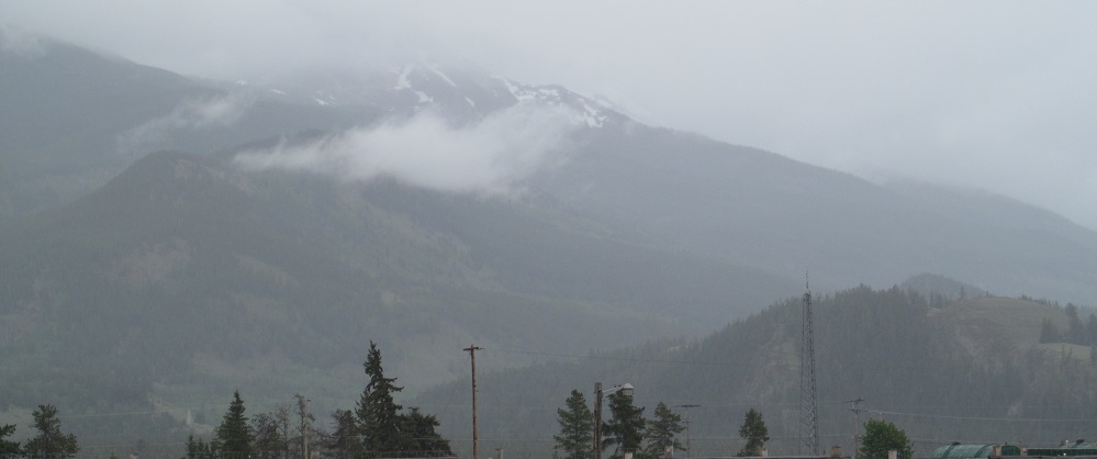
I was only on Highway 1 between its junctions with Highway 93, and it was full of fog, but I did my best to photograph each mountain at least once.

Looking west from the Highway 93 overpass, which is so close to British Columbia that the featured mountain (Mt. Bosworth, at left) is part of the border. Waputik Peak, solidly in Alberta, is at far right.

Looking south, Mount St. Piran, with Mt. Niblock to its right, is the western extremity of the range that encircles Lake Louise.

Heading southeast to the Lake Louise exit, Lipalian Mountain is on the left (with Armor Peak the small protuberance to the right) and the 2nd photo features Mt. Temple in the foreground with Panorama Peak in the back.


Looking toward Lake Louise once more, the first photo is Devil's Thumb on its west side, at its most gnarled and odious from this angle, and the second photo is Fairview Mountain on its east side, with Saddle Mountain behind it.


Panorama Peak is to the due south about 8 kilometres later, and a bit beyond that, I am afforded a view of the Bow River that the highway is following from here to Calgary.


Here's one mountain I managed to get two photos of, Copper Mountain, because the second photo includes a wildlife bridge.


The Bow River leaves the embankment of the highway as it comes to the eastern end of Castle Mountain's base.
Onto Highway 93 alone
Into British Columbia on Trans-Canada Highway 1
Trans-Canada Highway 1 roads photos
Back to Alberta Non-Roads
Back to Non-Roads main page