Alberta - Sunwapta Falls
Sunwapta Falls

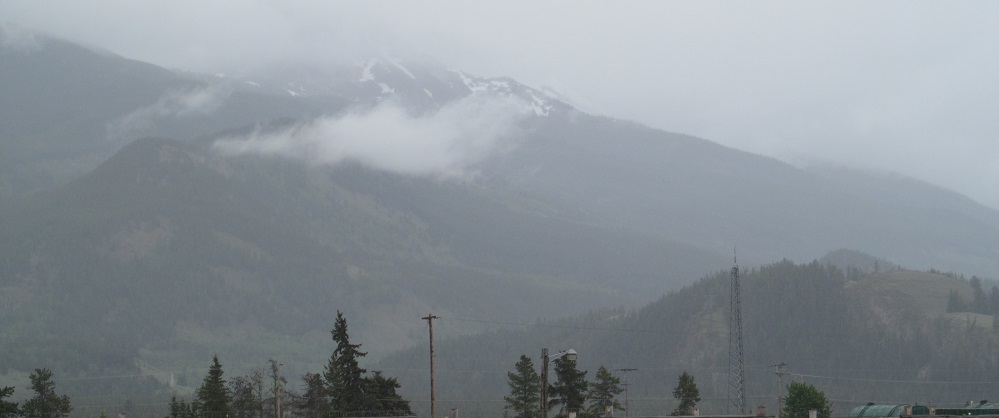
Sunwapta River upstream of the falls, looking east from the approaching trail.


Two views of the Upper Falls, depending on how smooth you like your droplets.

Alternate views of the mini-falls to the lower right of the previous photo pair.


A different vantage of the top of the Upper Falls and the river leading downstream from there.


Various other views of the falls, before we move on.

Looking WSW toward the narrowest part of the downstream chasm, passing under the walkway bridge.


From the bridge, these are top and bottom photos where the "squeezed" river exits the chasm to a slightly wider passage to the west.


Looking down into the chasm as far as I can, there's a small pool partway through. Having taken but one semester of fluid dynamics, I can best describe the overall flow through there as "don't try to swim."

The walkway continues to the southwest of the falls, so now I am looking NNE into the river's exit from the chasm.


Top and bottom views along the still-turbulent river as it heads south through the next, slightly wider section. Once it rounds the bend to the west, it widens further and laminar flow is restored instead of turbulence. (That's the part you can swim in.)
See more along Icefields Parkway/Highway 93
Back to Alberta Non-Roads
Back to Non-Roads main page