Alberta - Highway 93 - Banff Park - Mosquito Creek & S.
Highway 93
Banff National Park, Mosquito Creek and south
Photos progress from north to south.
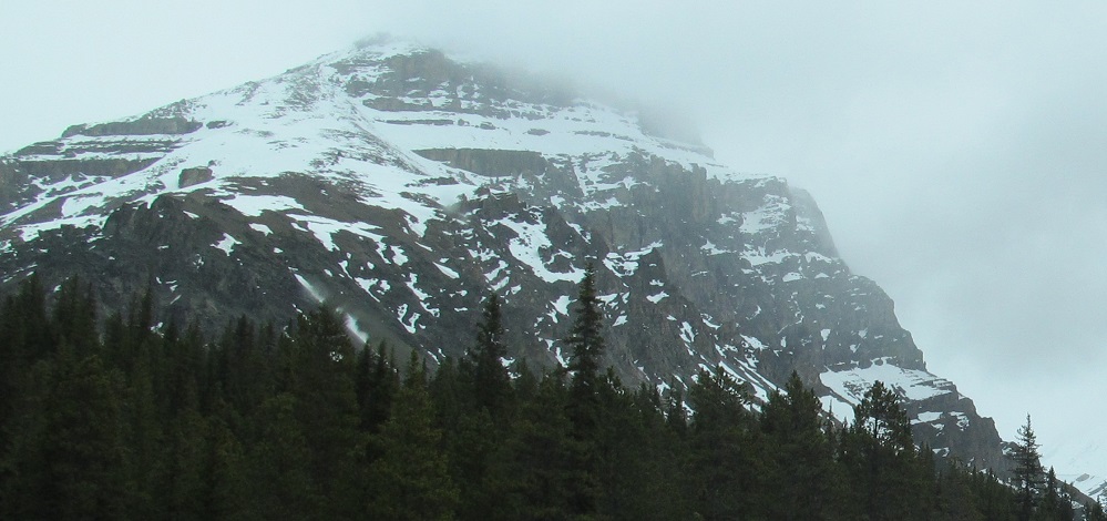
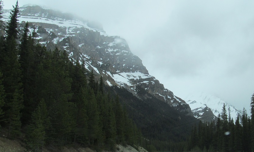
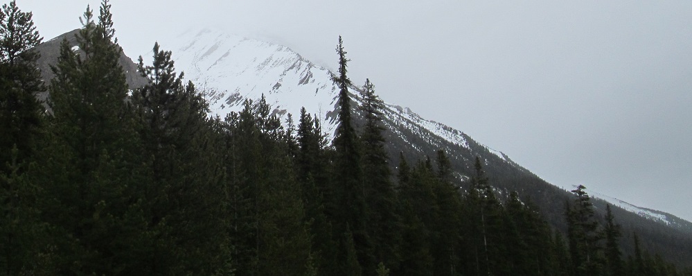
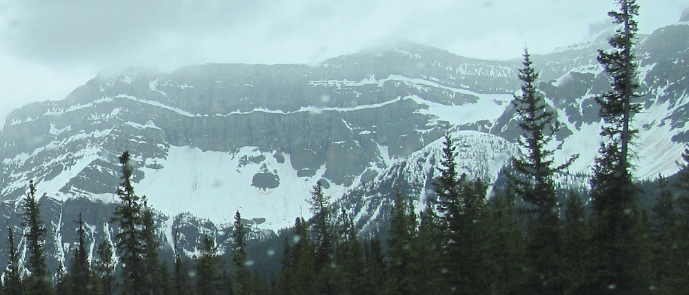
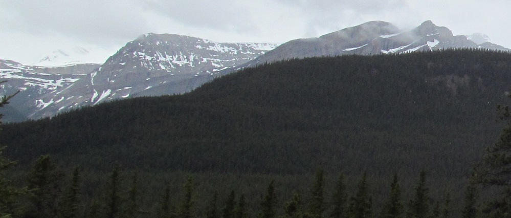
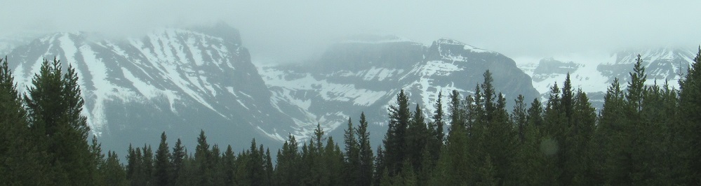
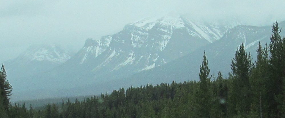
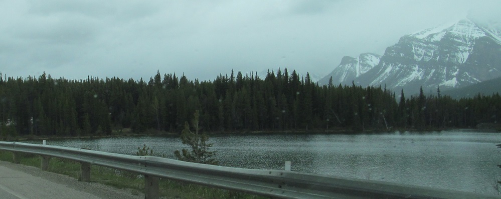
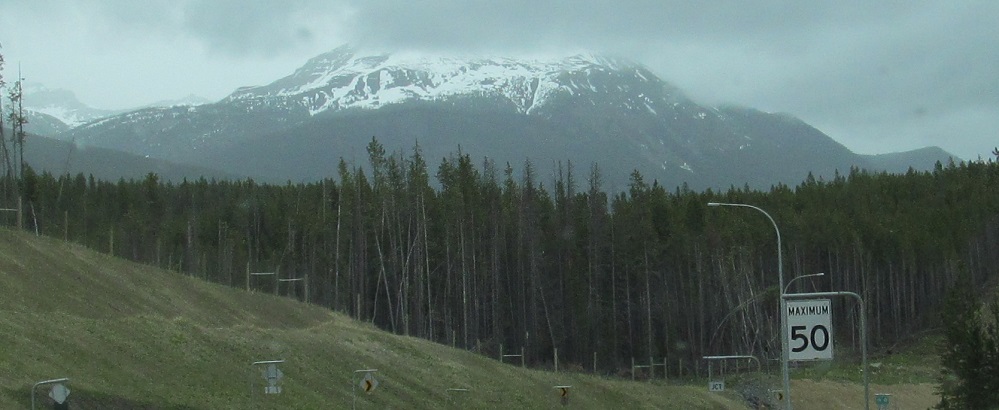
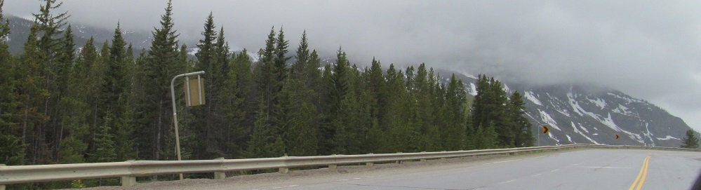
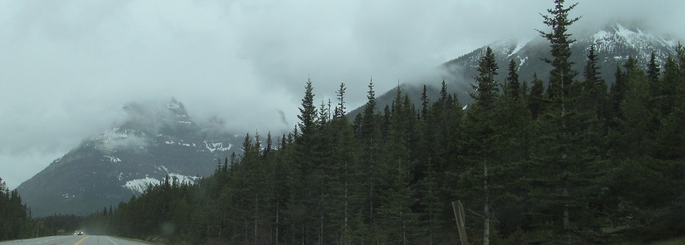
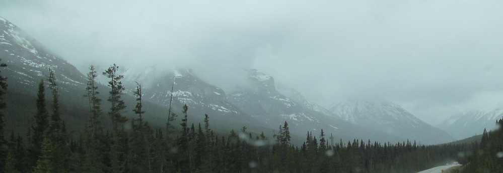
From the bridge over Mosquito Creek, I am looking at Mt. Andromache to my left and Mt. Hector beyond that.
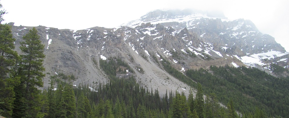
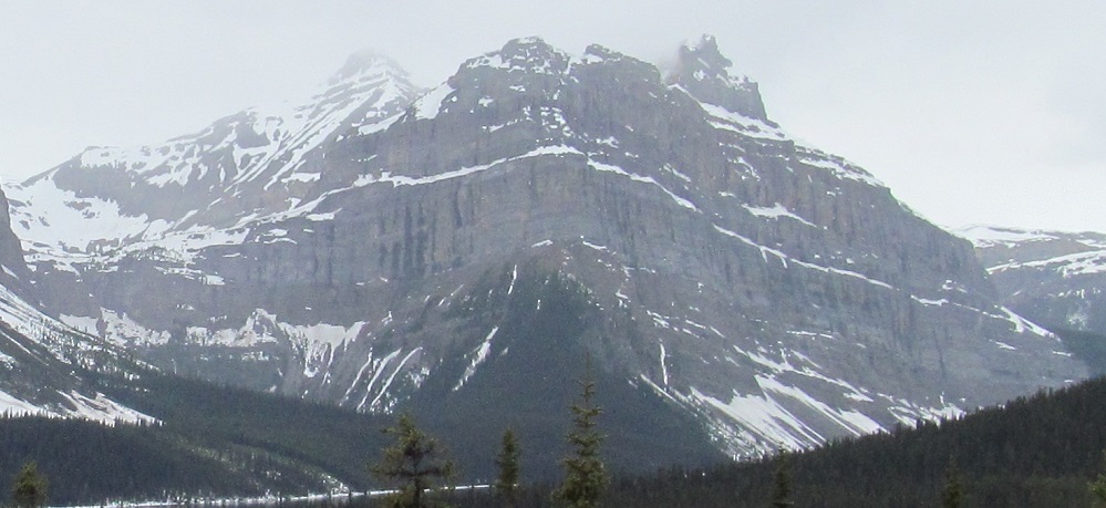
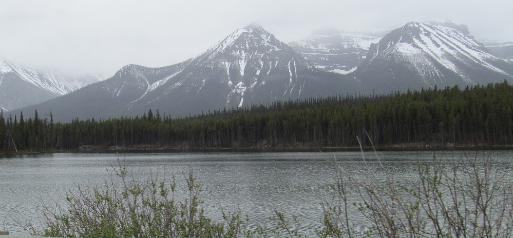
Various other views of Mt. Andromache, starting looking east from the Mosquito Creek Campground turnoff. The part of the mountain with the named peak is the one you can see in the 3rd-5th photos, while the part north of that (first 2 and last photos) is in front of Noseeum Peak. Get it? Mosquito Creek? Noseeum Peak? It even rhymes.
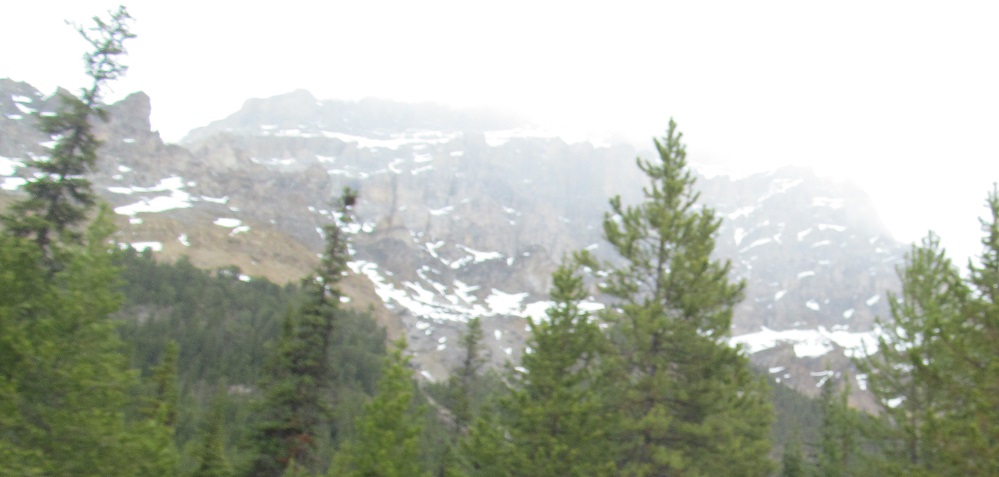
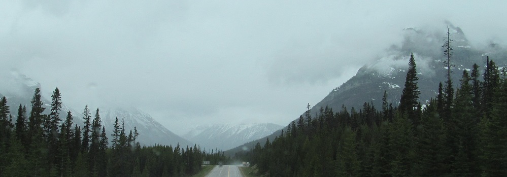
Another view of Mt. Hector, two more of Andromache.
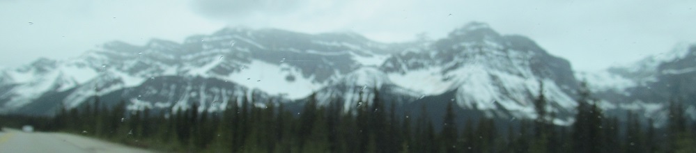
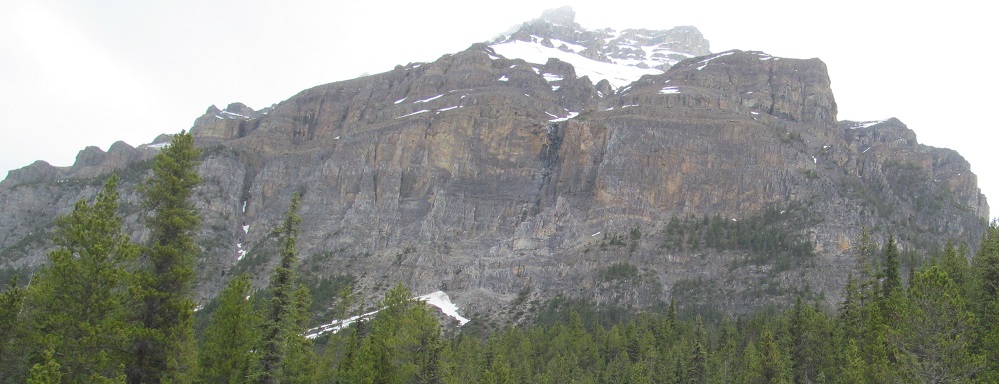
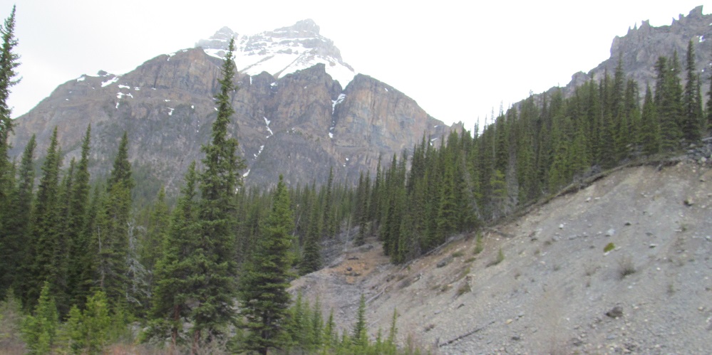
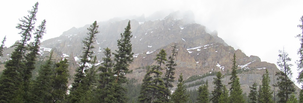
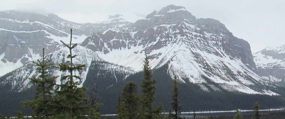
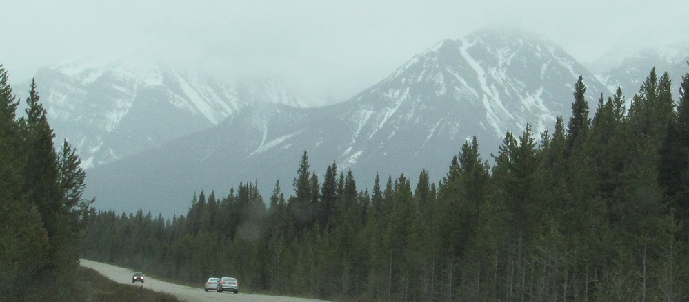
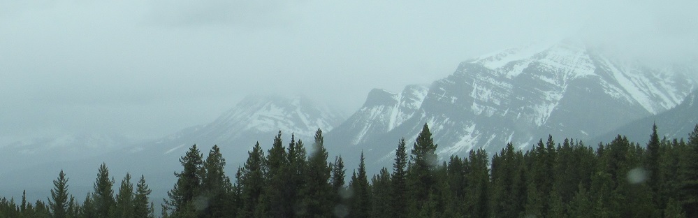
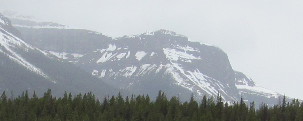
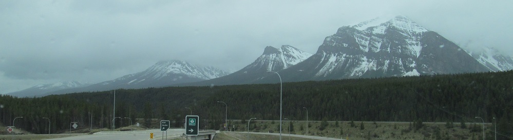
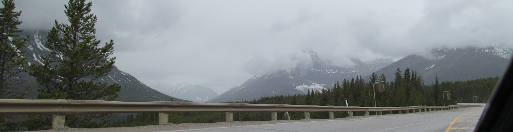
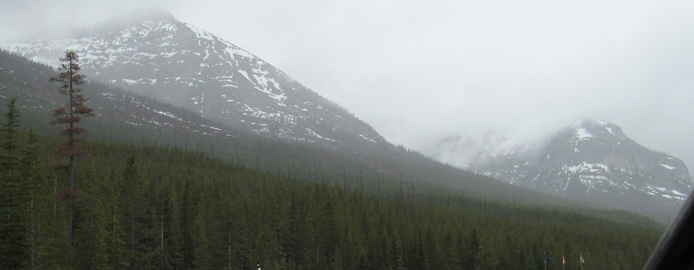
A new set of mountains is taking shape on the west side of the road: Waputik Peak in front of me, connected to Pulpit Peak to the right, overlooking Hector Lake. Bow Peak is to the northwest in the last photo.
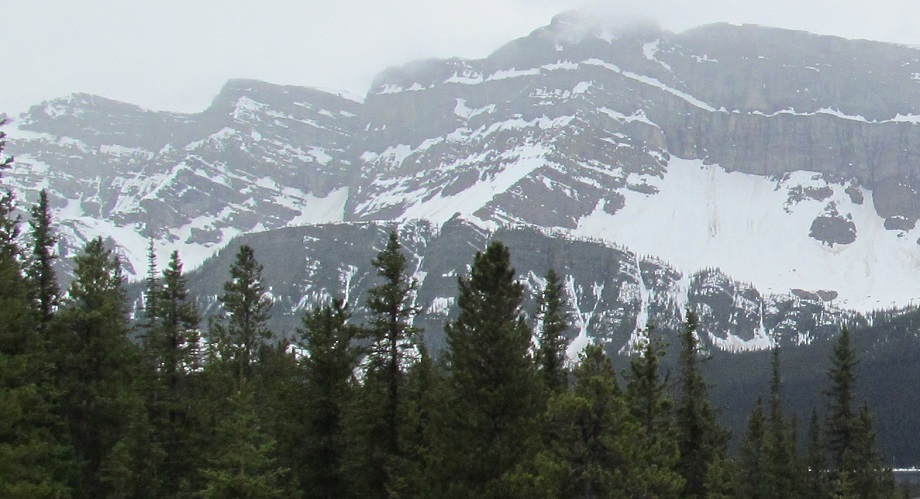
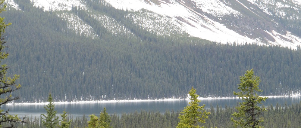
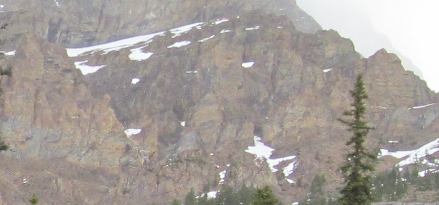
These photos pan from northwest to south at the Hector Lake viewpoint: Bow Peak, the backs of Bowcrow Peak and Crowfoot Mountain (yes, Bowcrow was named after the peaks next to it), the back/west half of Pulpit Peak, its front/east half, the ridge connecting it to Waputik Peak, and the lake itself.
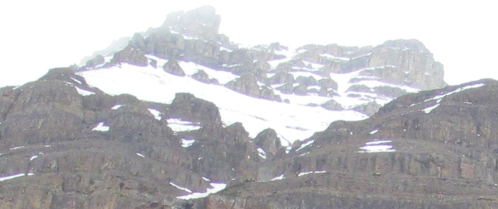
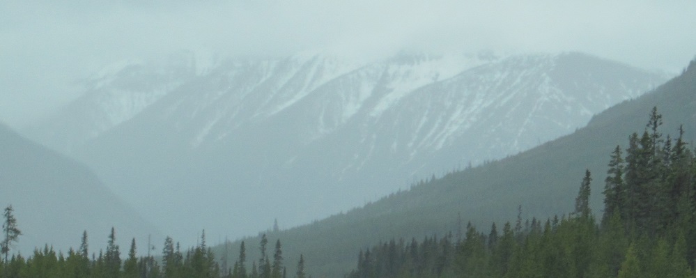
Since it wasn't visible from the turnout, here's more Waputik Peak.
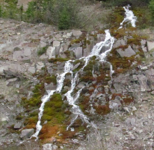
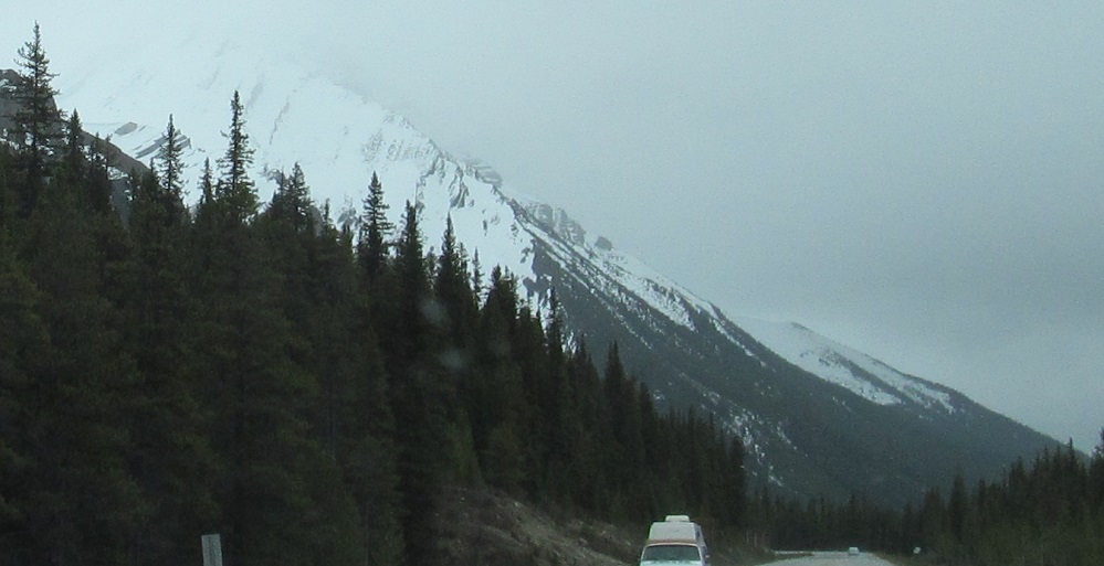
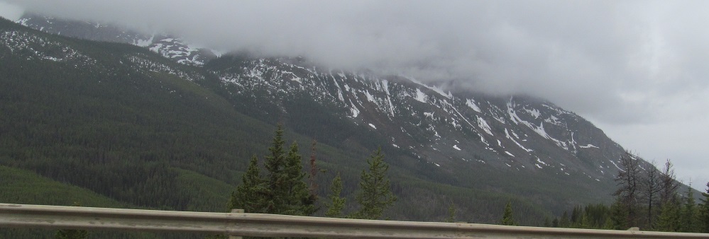
This little guy was cascading to my left as I headed south.
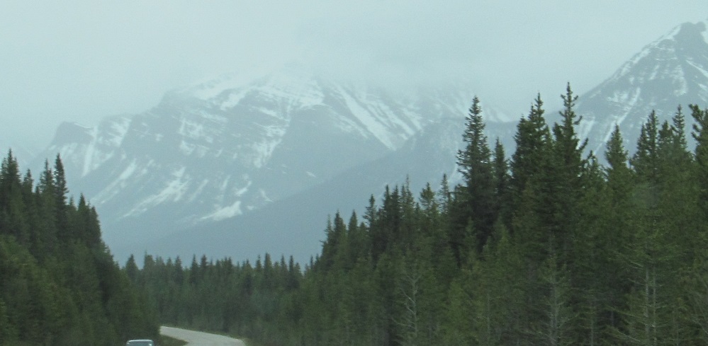
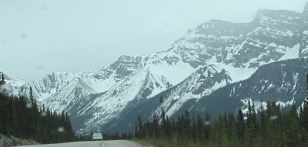
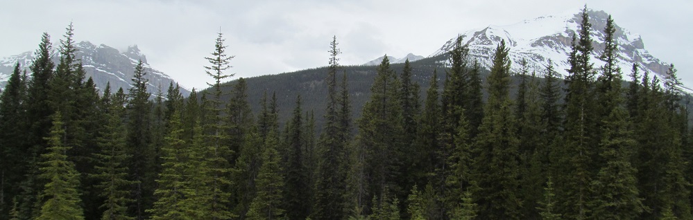
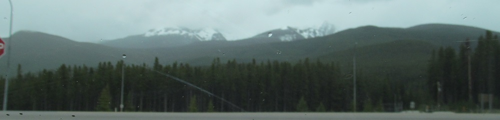
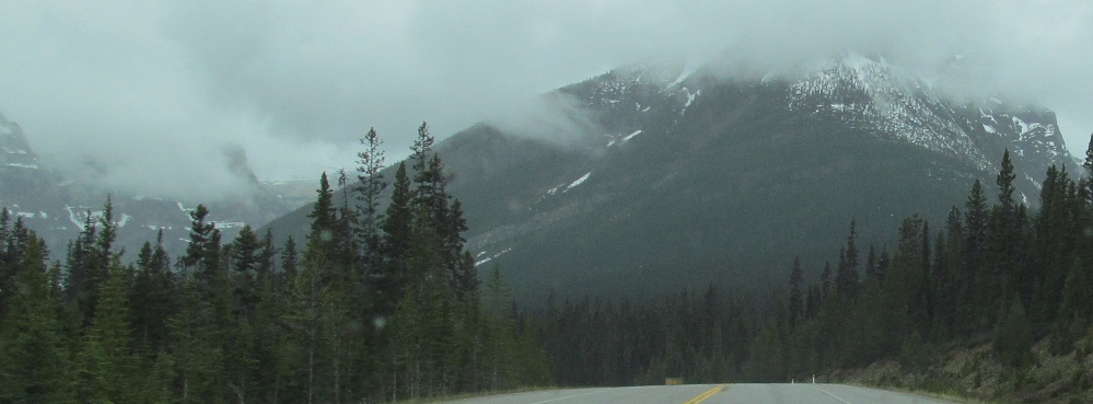
A few minutes later, I am able to view the mountains of Lake Louise. Photos start in the west at Mt. Niblock (left) and the ridge that defines the AB/BC border, then to Mount St. Piran, Fairview Mountain, and the base of Mt. Temple.
More photos of these mountains, centered on Fairview Mountain. The last 3 photos pan back west across Herbert Lake to the base of Narao Peak, the first photograph I've taken on Highway 93 (starting from the very top in Jasper) that is of British Columbian land. Do you see the border? No? Borders are but artifices of man.
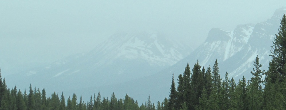
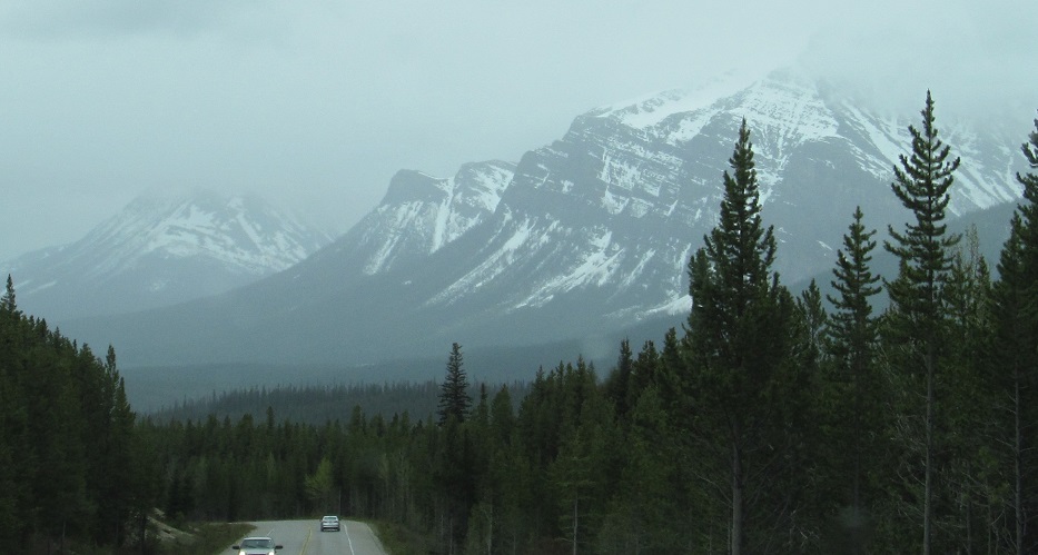
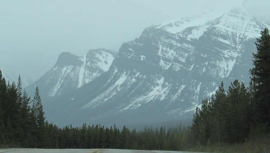
As the road takes a few twists near its junction with Trans-Canada Highway 1, I'm afforded unique views of Saddle Mountain (attached to the east side of Fairview Mountain), Lipalian Mountain (to the east, north of Highway 1), and the full Lake Louise western complex of Fairview, Saddle, and Temple.
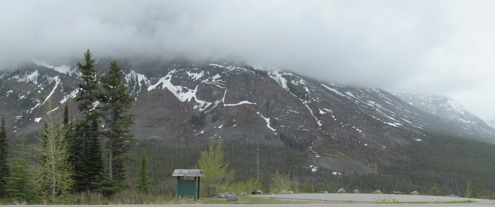
Skipping the Highway 1 concurrency (see big link at bottom), this is the view of the Copper Mountain foothills across the offramp where Highway 93 leaves Highway 1 to head south to British Columbia.
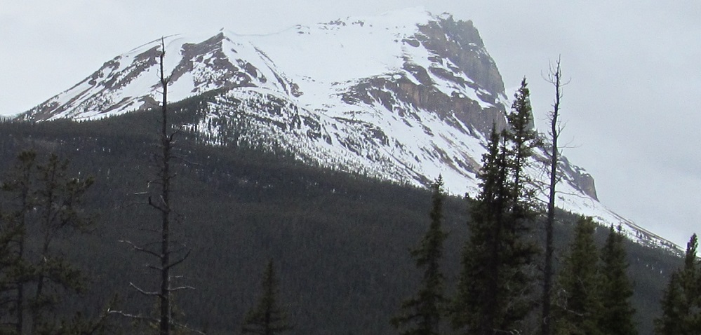
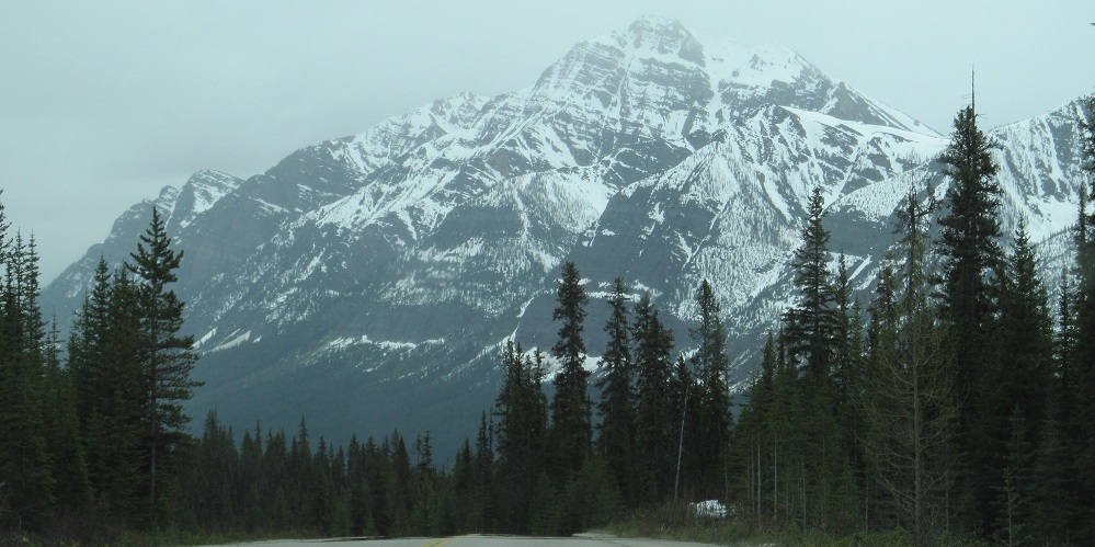
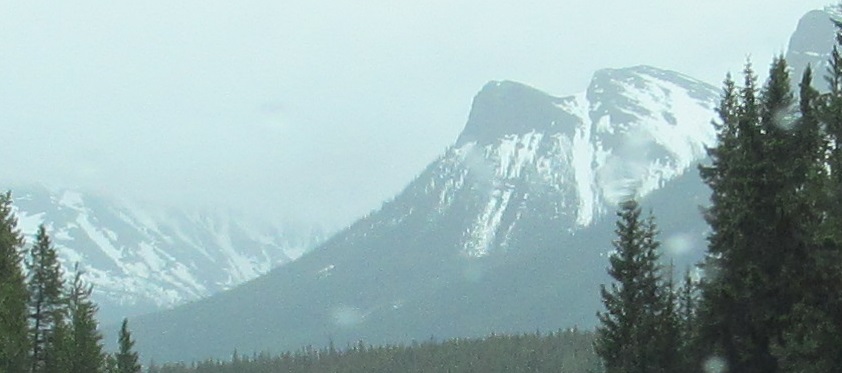
Highway 93 now has completely new scenery and a new name: Banff-Windermere Highway. Mt. Whymper is straight ahead, Boom Mountain is to its right, and in the last photo, Storm Mountain is to the left and enshrouded in mystical water droplets. This whole stretch of highway to the border is less than 10 kilometres, so it shouldn't surprise you that all of these mountains are in BC.
More views of those three mountains, starting with a... view of those three mountains. The last three photos are Storm, Whymper, Boom in that order.
Within a minute of the border, the entire valley ahead comes into view. Mt. Whymper on my right and Stanley Peak on my left frame a backdrop of faraway Tumbling Peak (second photo, really the "Tumbling NE5" subpeak), 14 kilometres away.
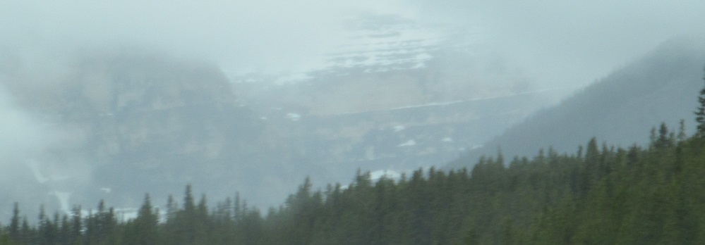
Looking east near the border shows me the north side of Storm Mountain, the last photo I'll take of something in Alberta for several hours.
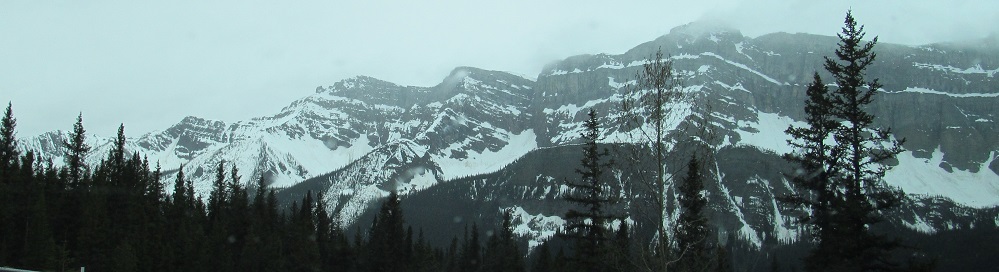
Storm Mountain is the first of several consecutive slopes. The next one back is unnamed (so part of Storm?), then there are the two sides of Stanley Peak, and finally Vermilion Peak. Keep following along in British Columbia to see more of them.
Onto Trans-Canada Highway 1 and Highways 93/1
Back north on Highway 93
Back to Highway 93 main page
Into British Columbia on Highway 93
Back to Alberta Non-Roads
Back to Non-Roads main page