Alberta - Highway 93 - Banff Park - Bow Summit-Mosquito Creek
Highway 93, Icefields Parkway
Banff National Park, Bow Summit to Mosquito Creek
Photos progress from north to south.
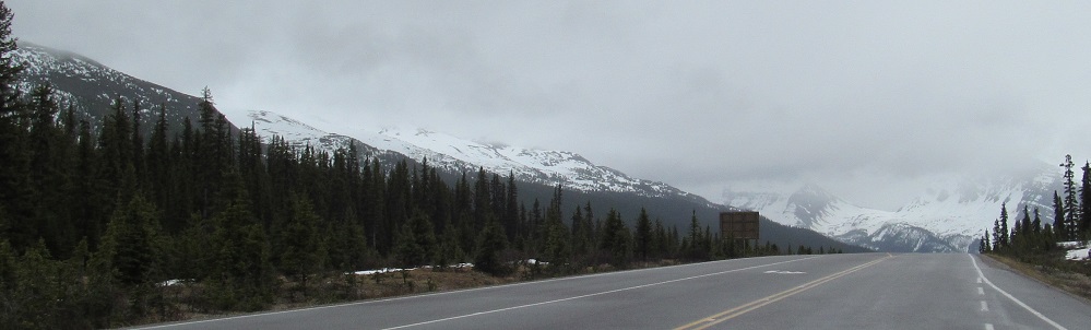
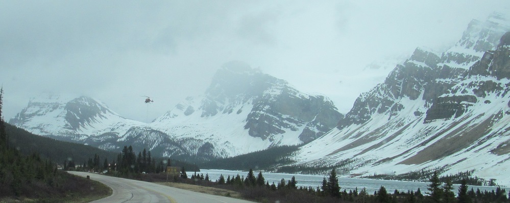
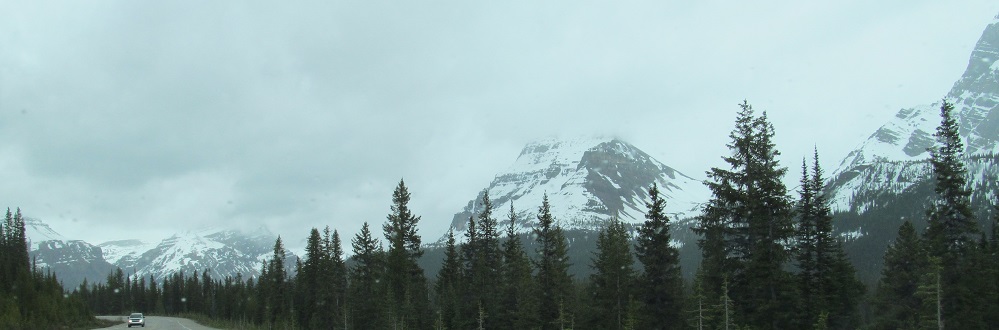
Picking up where I left off on the previous page, I'm still next to Silverhorn Mountain on my left, and the peaks ahead are Bow Peak (left) and Bowcrow Peak (right). You'll soon understand why.
Panning from Silverhorn Mountain in the east across to Mt. Jimmy Simpson in the west, you can now see another peak between Bowcrow and Jimmy. I intentionally split it between the two pages to be obscure, but it's the largest of the ridges heading down from Mt. Gordon south of Bow Lake. Its name? Crowfoot Mountain. My hypothesis is that at some point, Bow Peak and Crowfoot Mountain were named, and the peak between them was just considered part of the connecting ridge, until someone decided they should all have names. Some sources call it BowCrow, and at least one says it's officially unnamed.
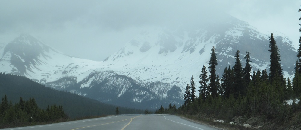
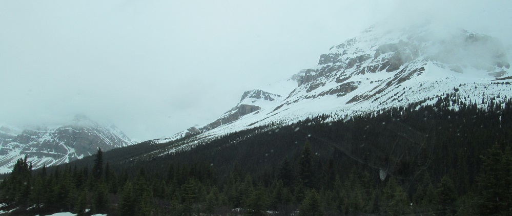
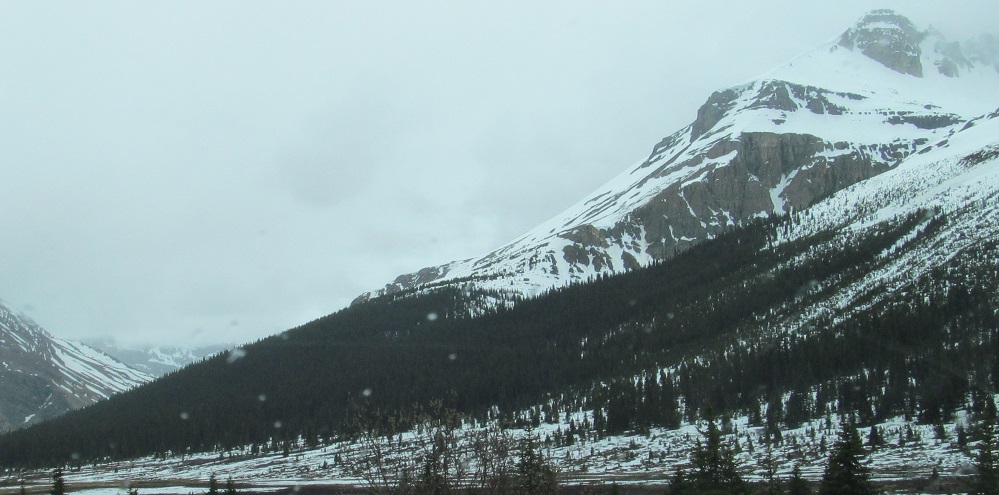
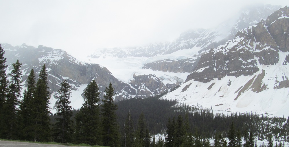
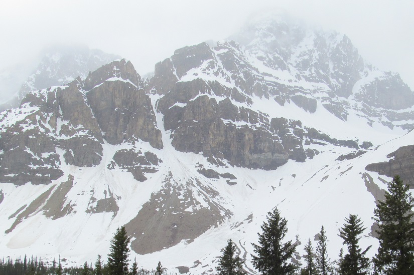
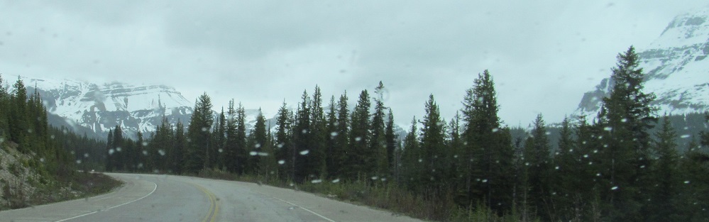
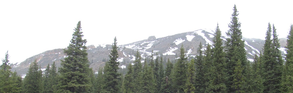
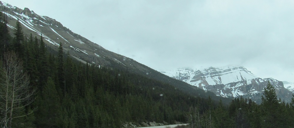
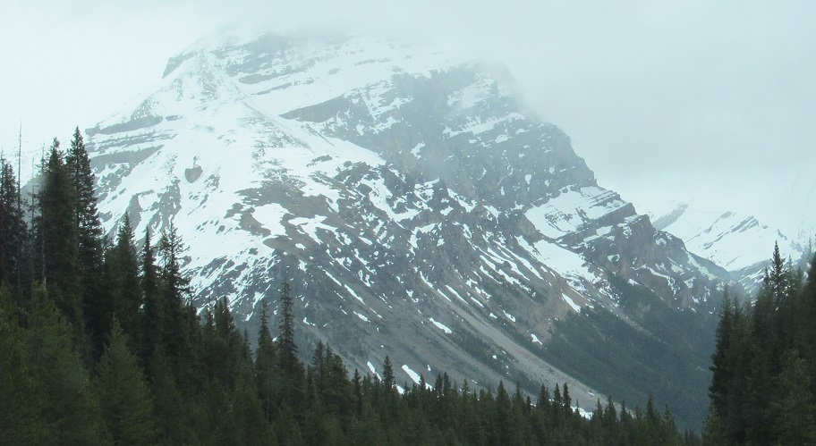
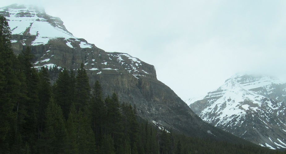
For the first time in a long time, I can see a mountain on my left that isn't Silverhorn - it's Cirque Peak. But before I get there, have another Silverhorn photo.
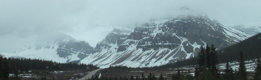
Panning from Crowfoot Mountain (with Bowcrow Peak to its left) west to Mt. Jimmy Simpson. I explain the latter's name on the previous page back north.
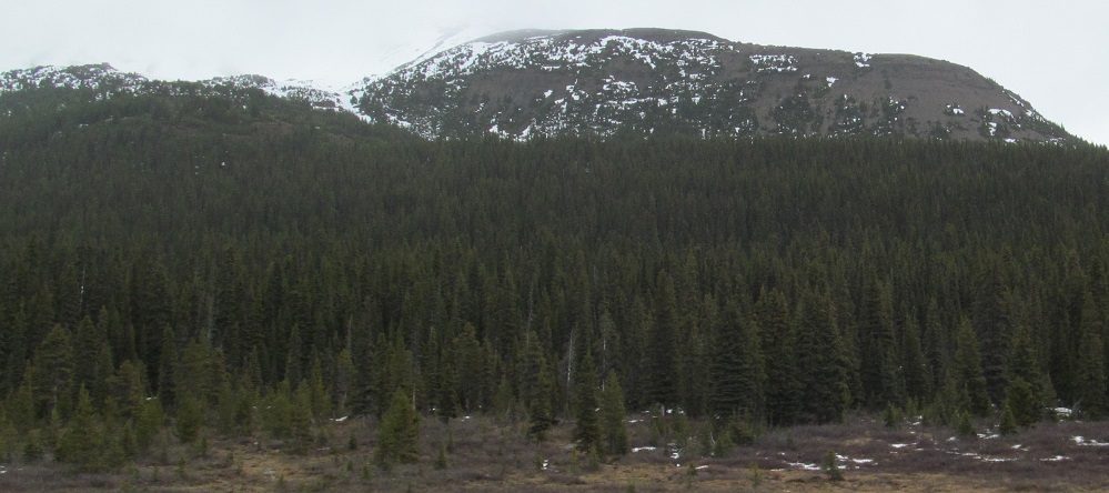
Looking southeast at the east slope of Cirque Peak, then back northeast at, for the last time, Silverhorn Mountain.
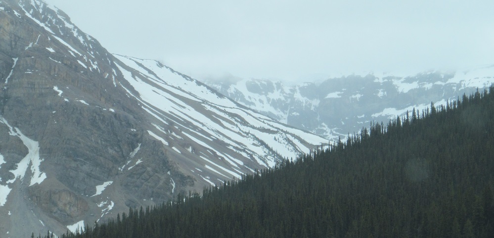
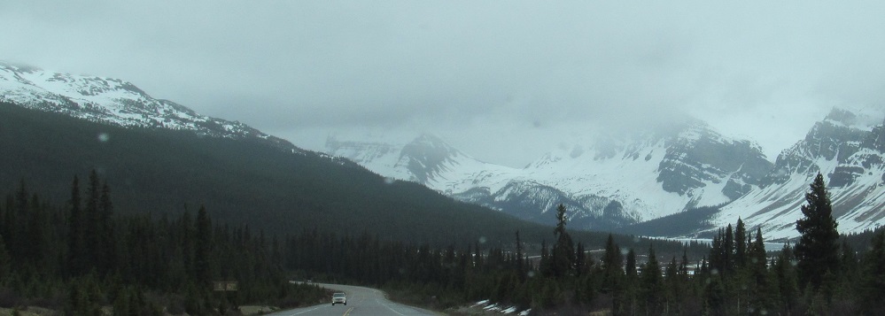
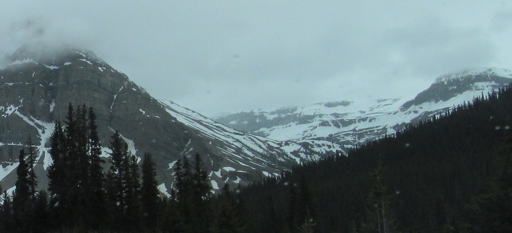
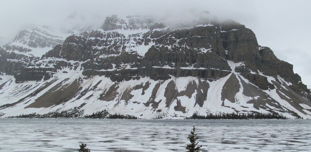
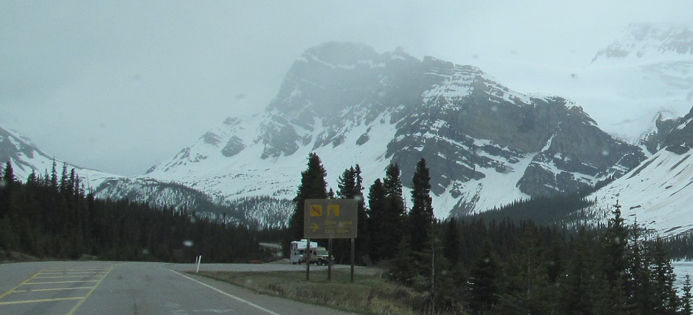
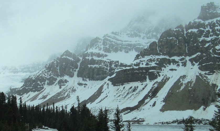
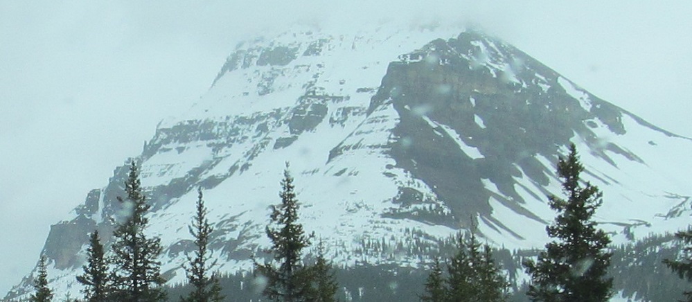
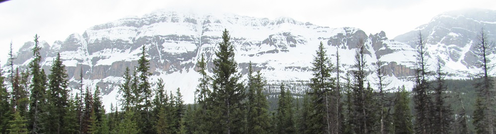
Meanwhile, zooming in on what's ahead, plenty more Crowfoot Mountain and a cirque to its right that defines the BC/AB border, topped by St. Nicholas Peak.
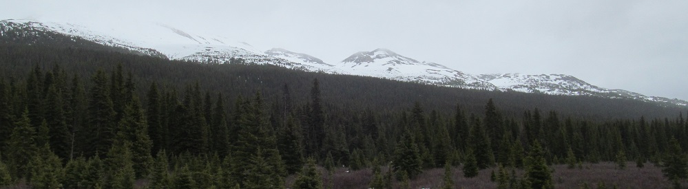
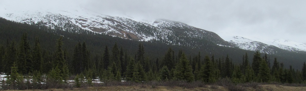
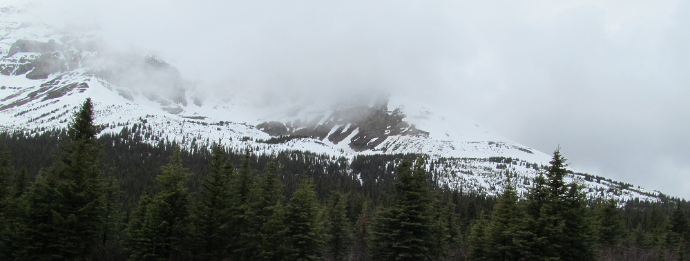
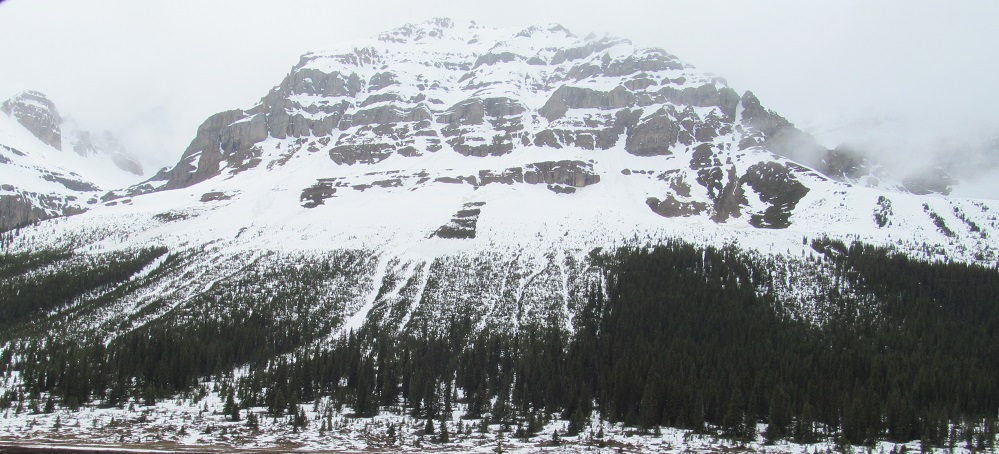
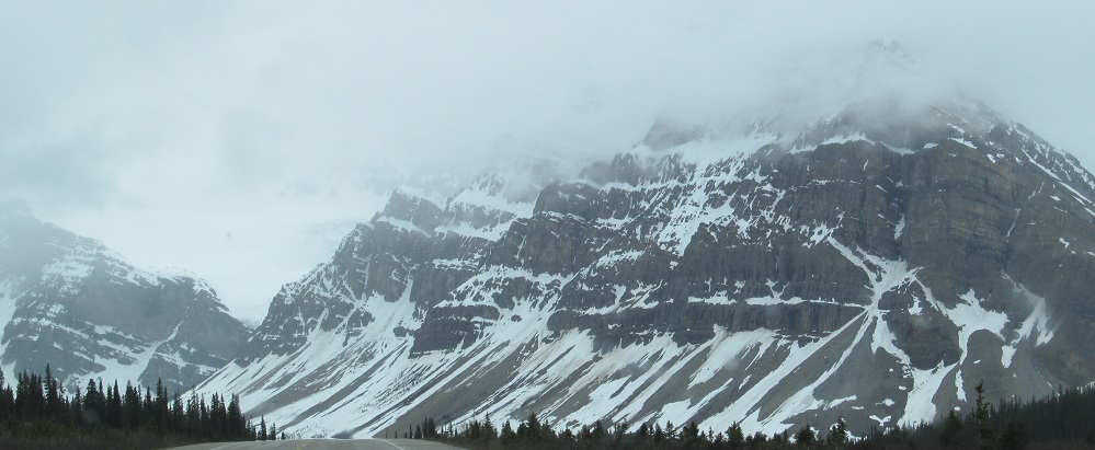
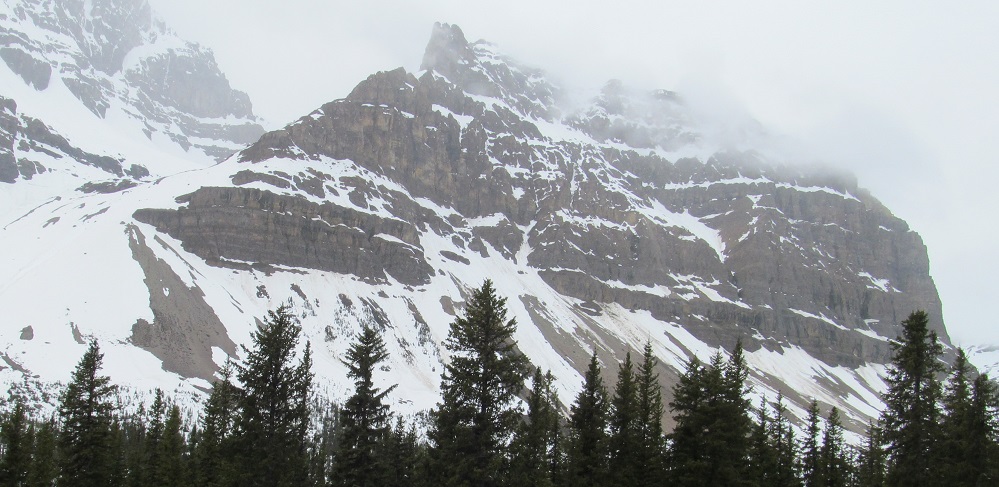
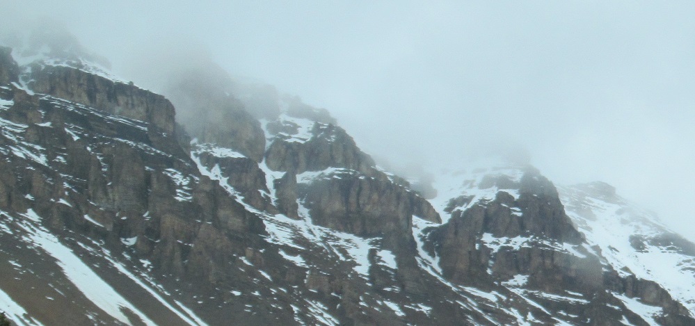
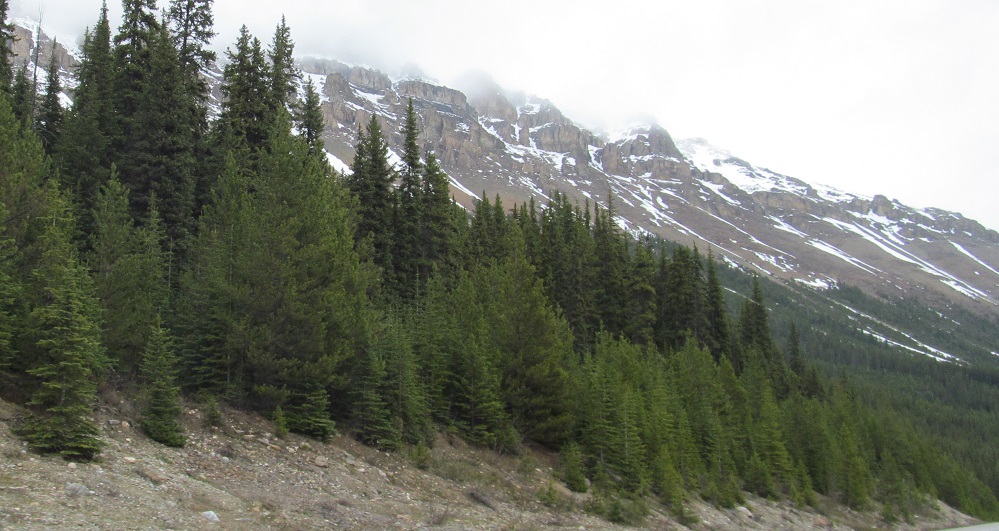
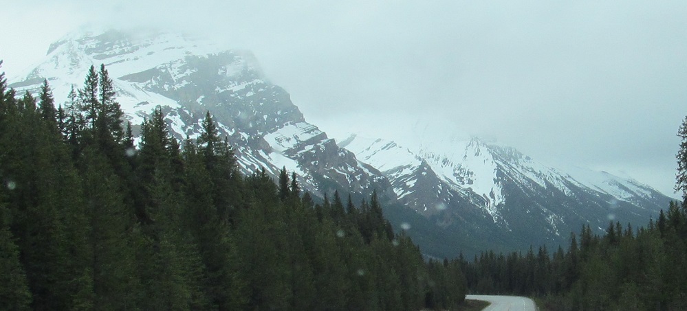
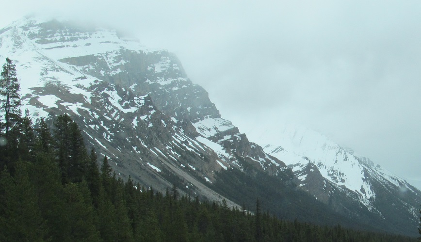
These are just the foothills of Cirque Peak, but everything above here is in the clouds on this rainy early June day.
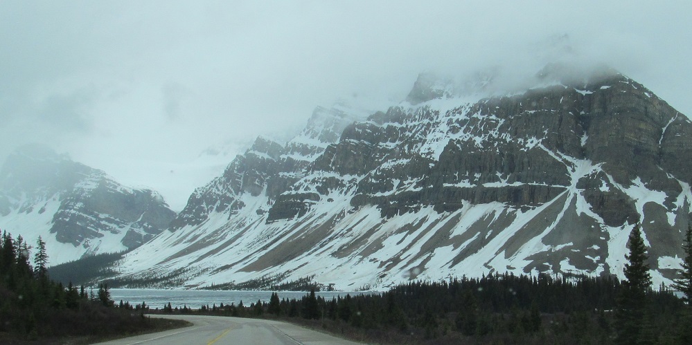
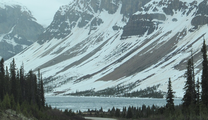
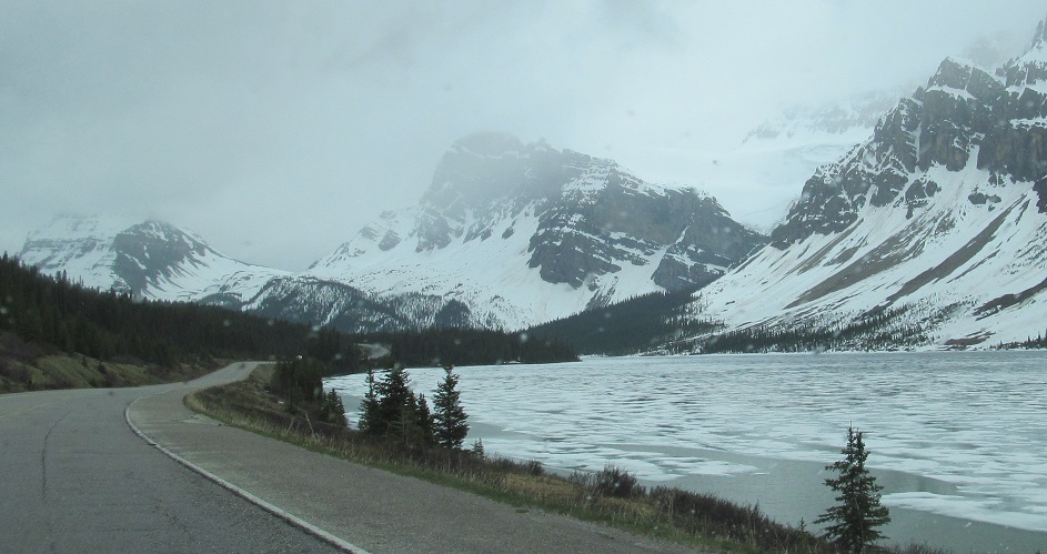
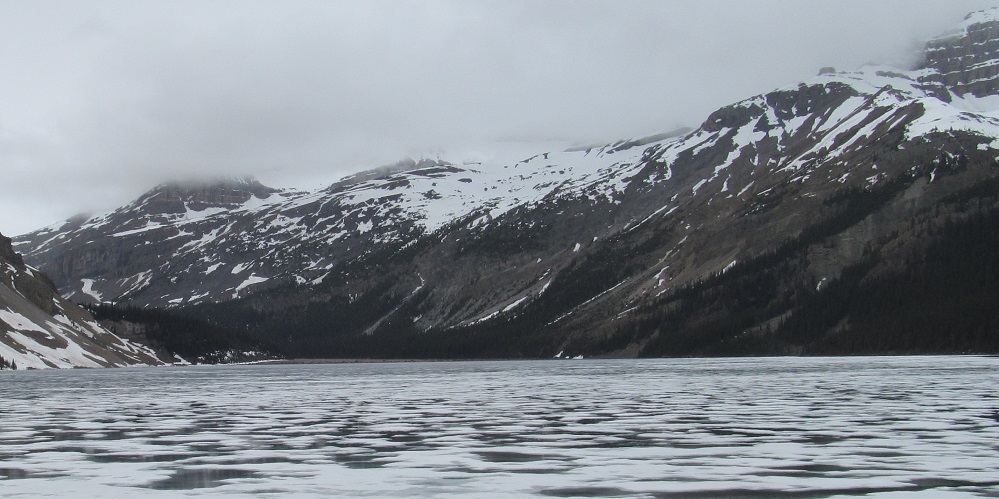
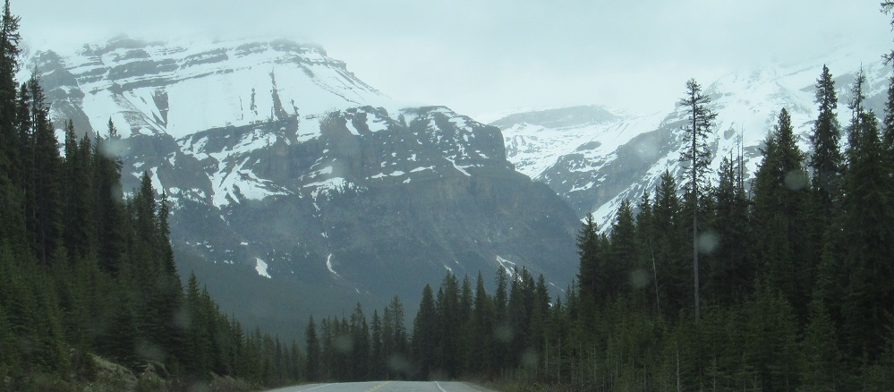
Crowfoot Mountain et al. get even more scenic when Bow Lake is added in. The last three photos pan from Bow and Bowcrow Peaks around Crowfoot Mountain to Portal Peak and Mt. Thompson on the northwest side of the BC/AB cirque, which then trail into the side of Mt. Jimmy Simpson to the north.
Bowcrow is all alone in the first photo, joined by Bow in the third, and the rest are of Crowfoot Mountain. The last 3 photos pan from the gap between Bowcrow and Crowfoot across the latter.
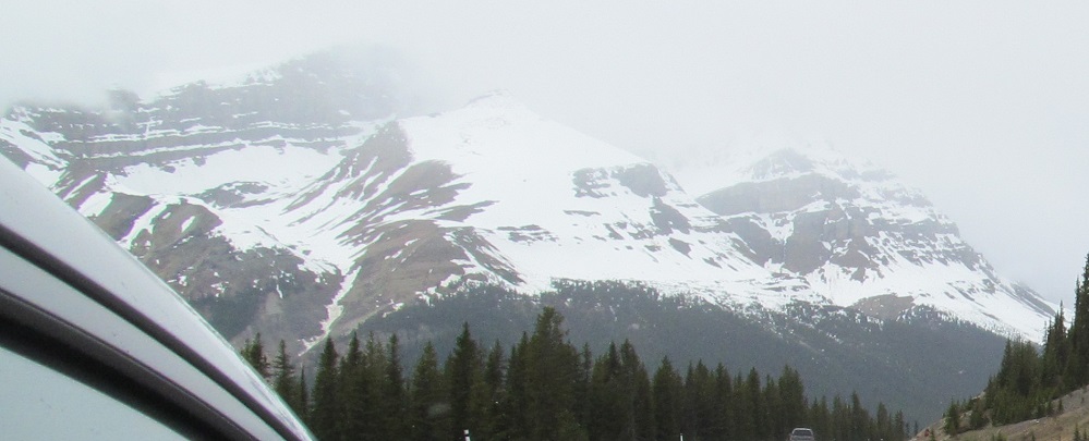
A new mountain to ogle, Mt. Andromache, appears as the road curves to the southeast. I'm zoomed in pretty far, so you'll have to wait to see it this closely again.
One more look back northwest at Mt. Jimmy Simpson.
Passing Bow Peak, with Mt. Andromache behind in the distance and getting closer.
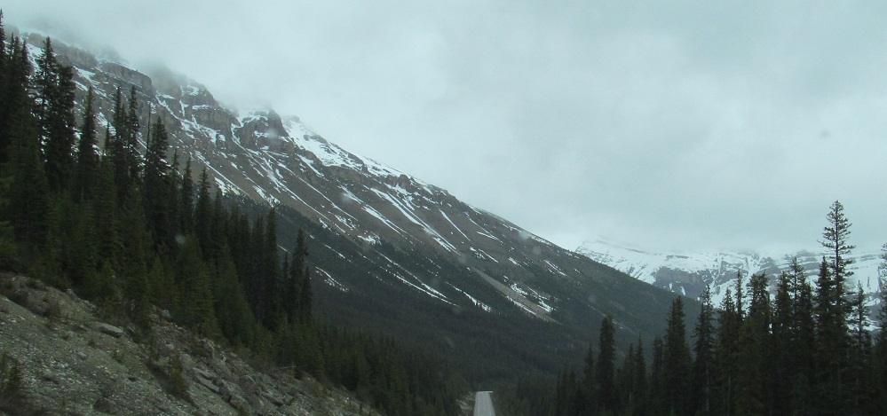
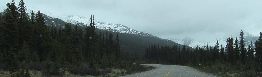
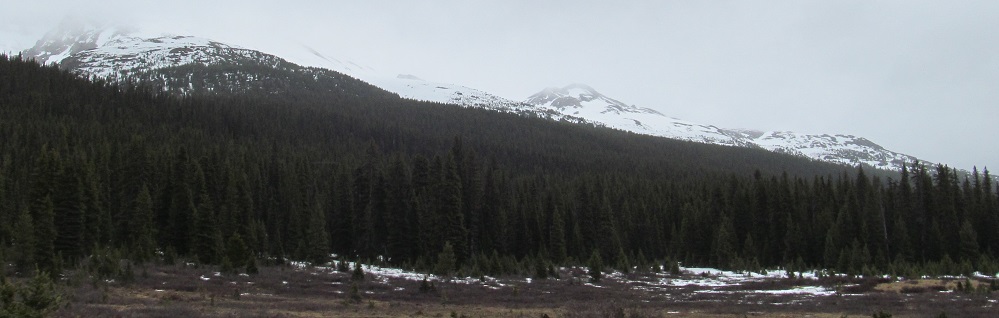
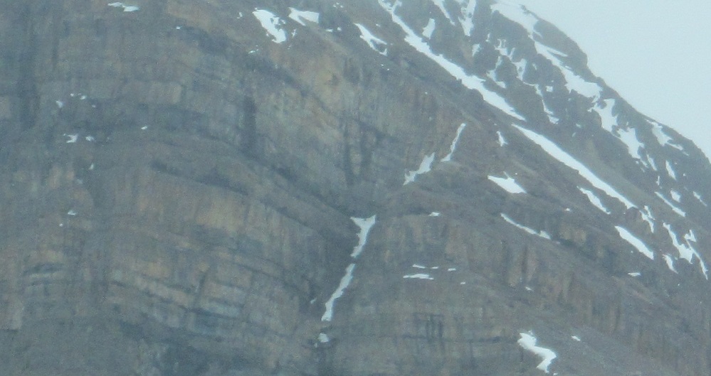
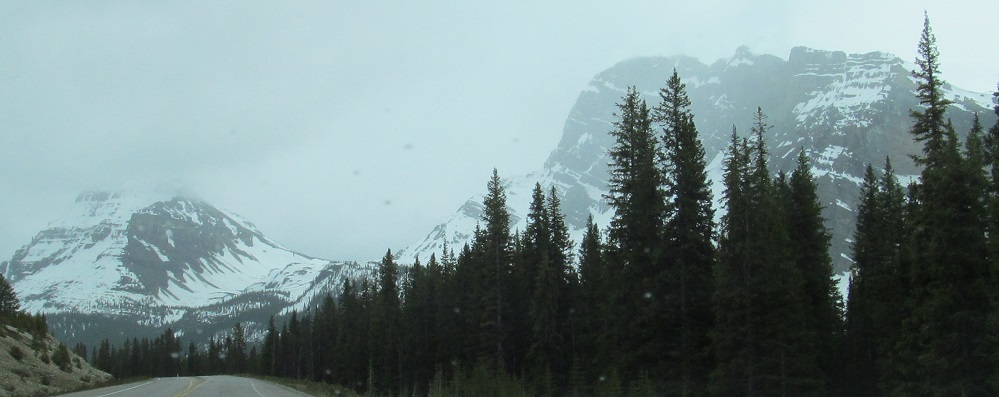
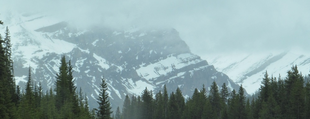
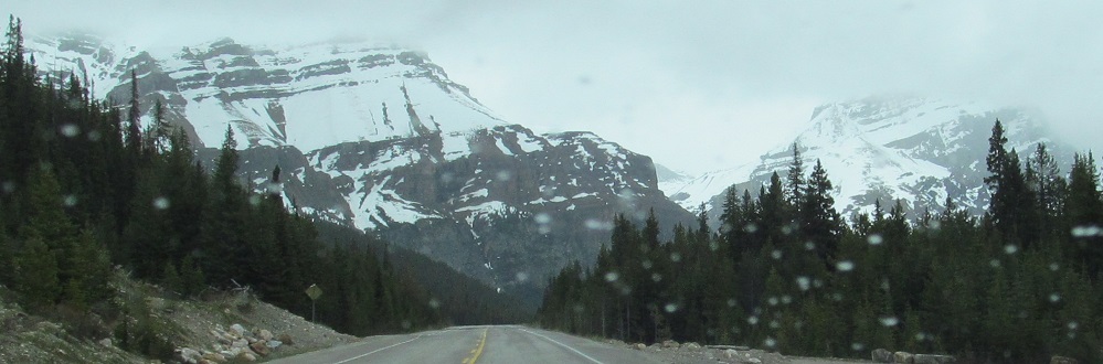
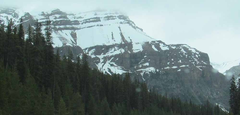
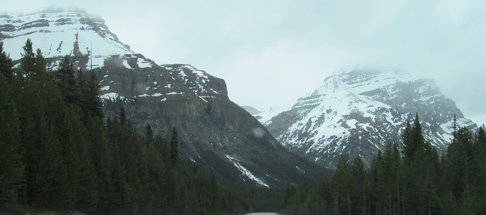
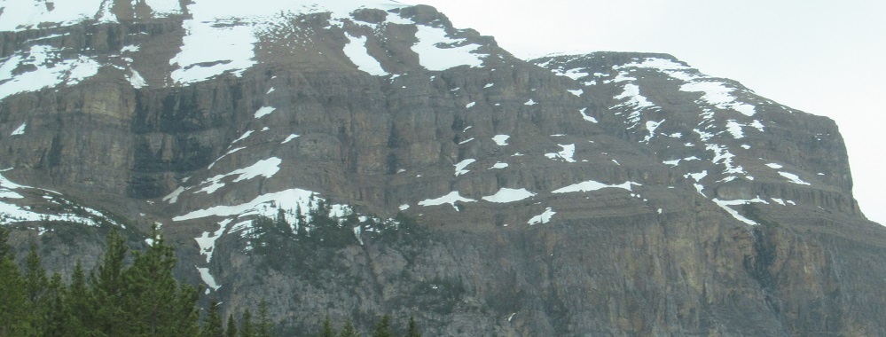
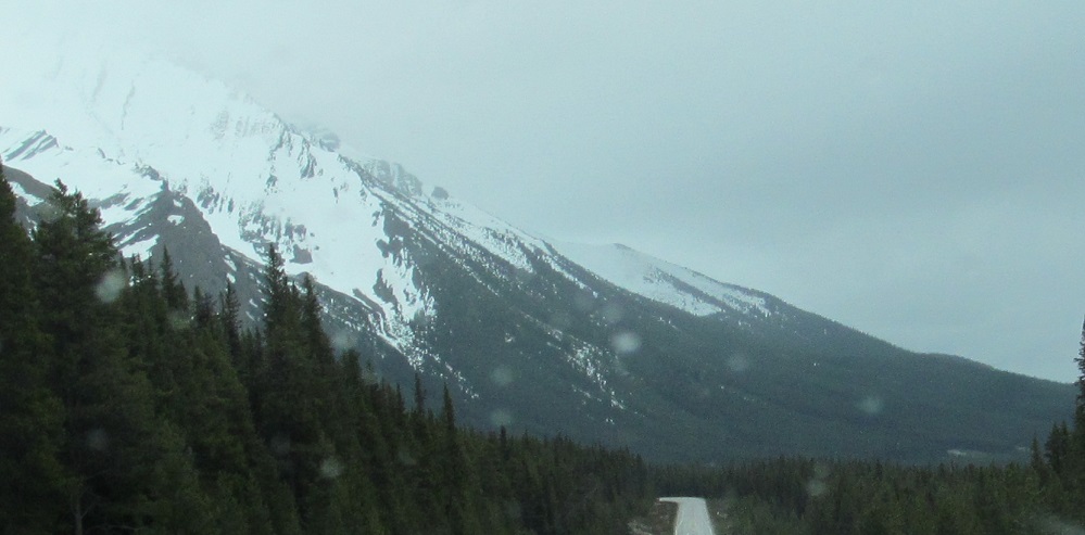
To my east, Cirque Peak comes to an end and I'm brought toward the slopes of Dolomite Peak. In this one case, the fog isn't a limiting factor; those rocky ridges are the actual mountaintop.
Looking west at the northeast face of Bow Peak.
Here's all you can eat of Mt. Andromache. The mountain is "C" shaped with the two legs facing Highway 93. You can see both in the first photo and each separately in the next two; the southern leg is the one with the named peak. Mt. Hector is the next mountain, which starts to become visible in the 4th photo. The last 3 photos pan from left (Andromache) to right (Hector).
Continue south on Highway 93
Back north on Highway 93
Back to Highway 93 main page
Back to Alberta Non-Roads
Back to Non-Roads main page