Alberta - Highway 93 - Banff Park - Mt. Wilson-Bow Summit
Highway 93, Icefields Parkway
Banff National Park, Mount Wilson to Bow Summit
Photos progress from north to south.
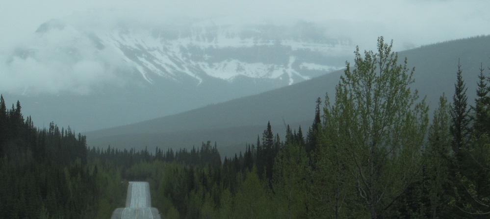
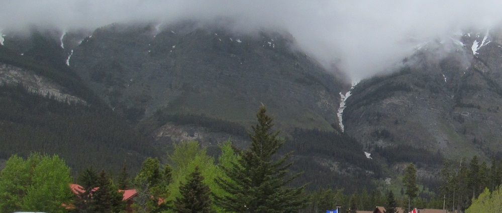
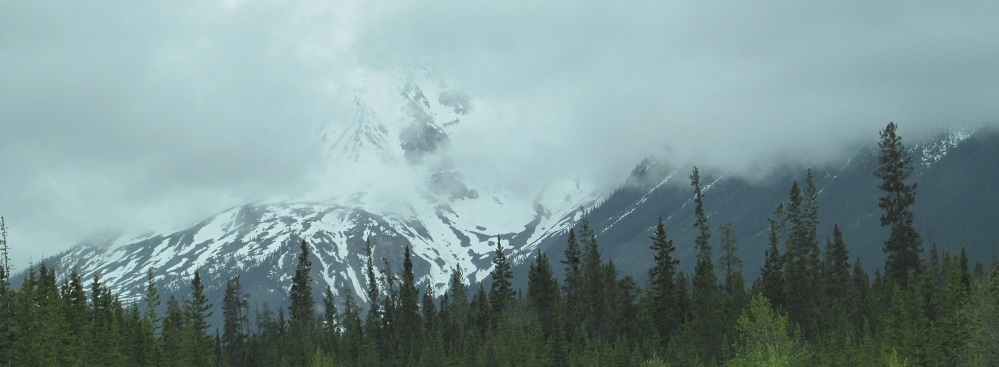
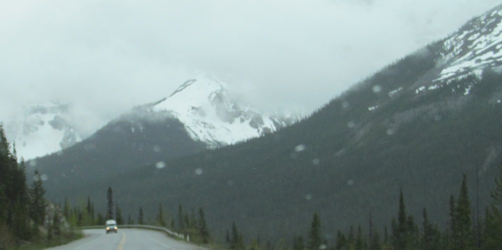
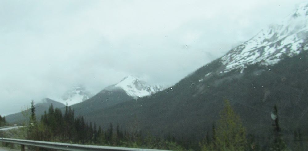
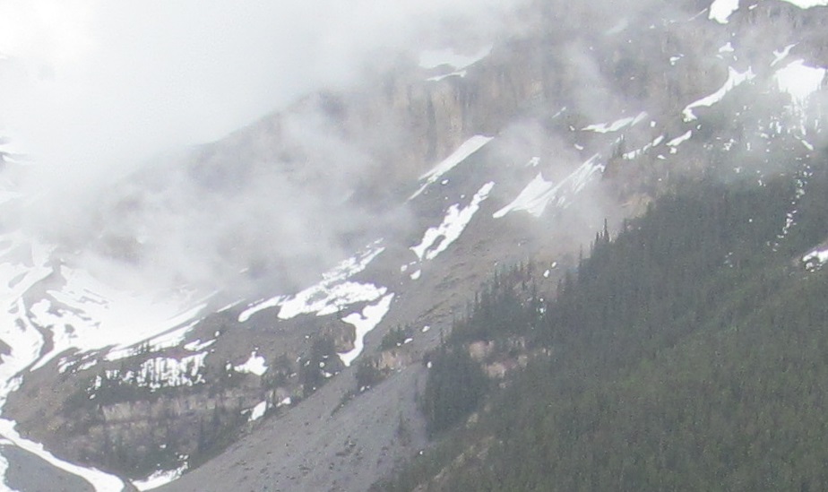
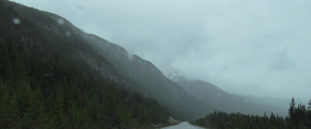
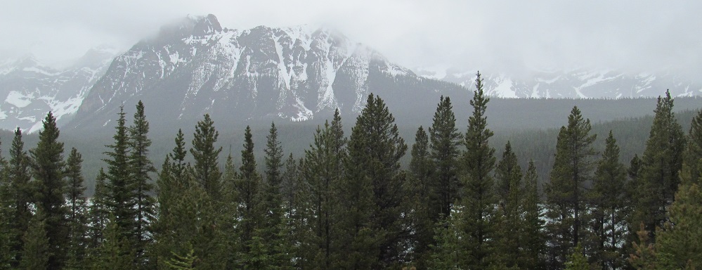
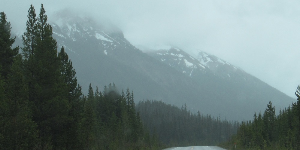
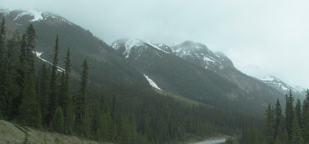
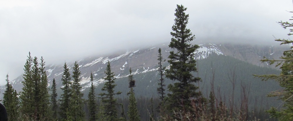
Mt. Sarbach in the distance, looking south from Mt. Wilson, and foggy Mt. Murchison to its left. Highway 93 will split between them shortly.
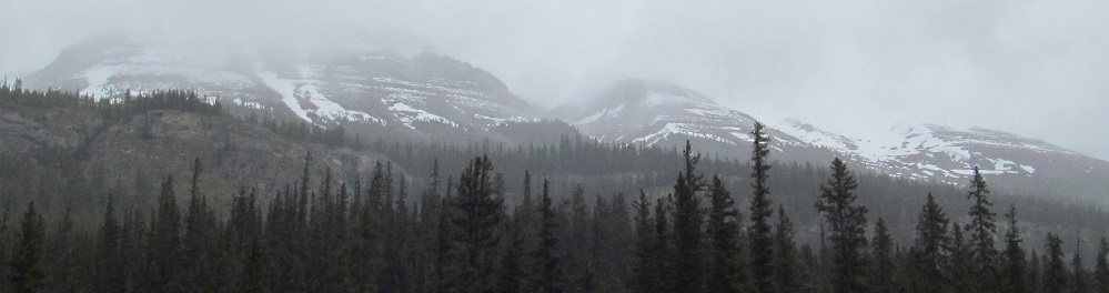
Corona NW3, a fork west of the main Corona Ridge, is the next prominence east of Mt. Murchison.
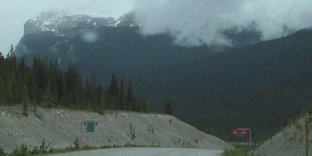
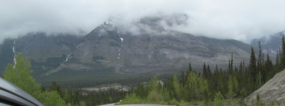
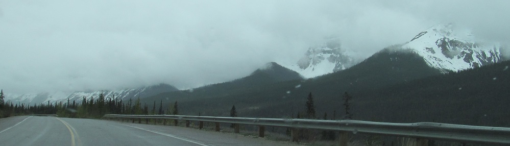
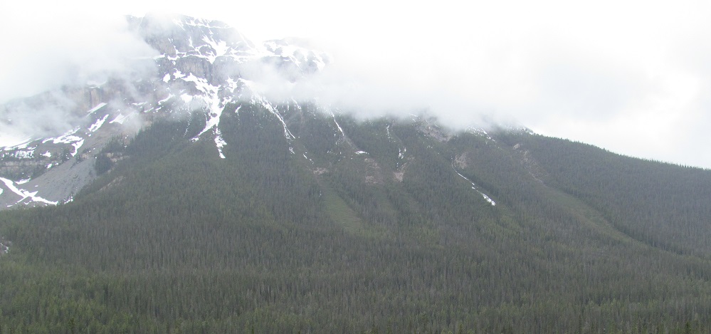
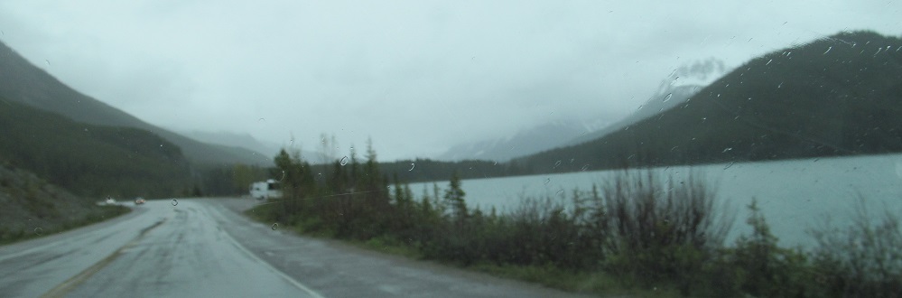
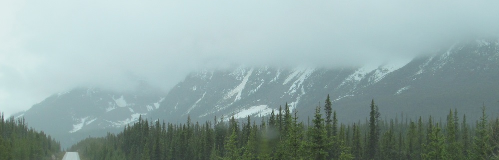
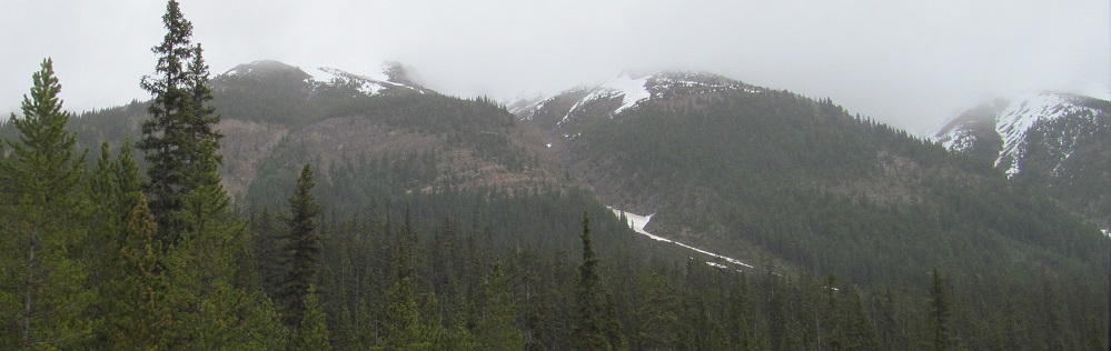
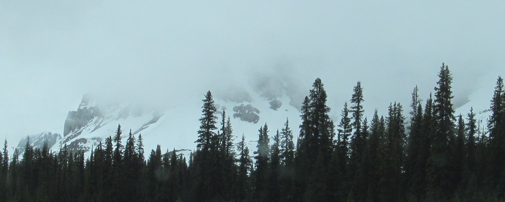
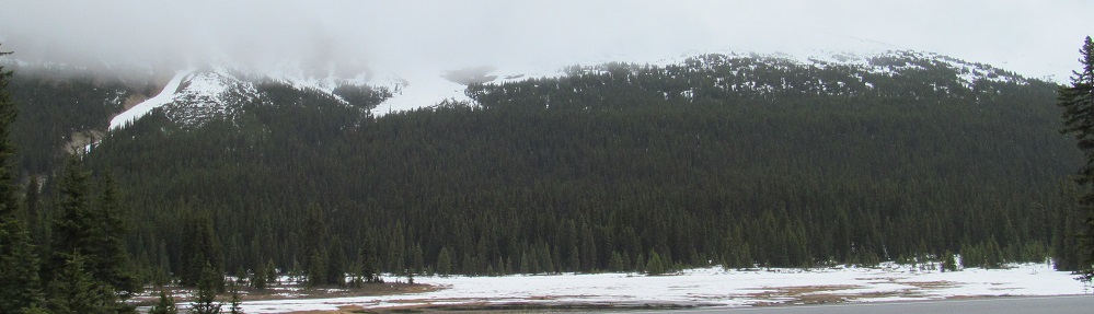
The highway is heading east in Saskatchewan Crossing, enabling me to give you this west-east triptych of the southern base of Mt. Wilson.
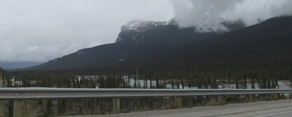
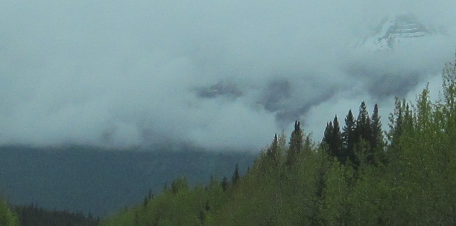
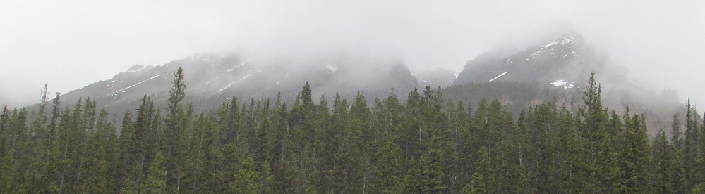
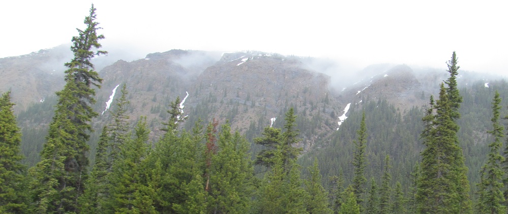
More views of Corona NW3 as I cross the North Saskatchewan River. For some reason, the mountain, glacier, and town all omit the "North."
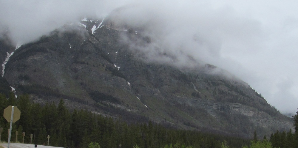
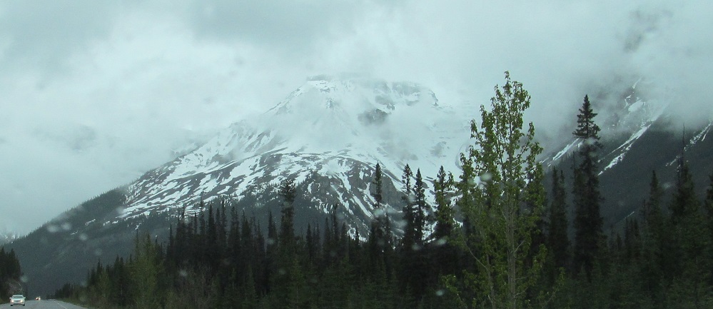
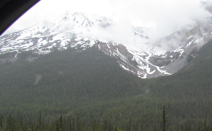
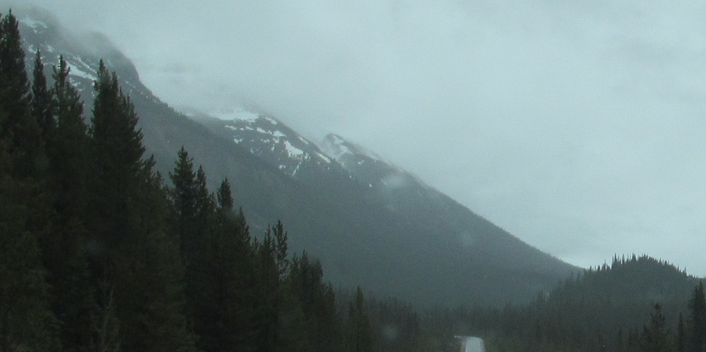
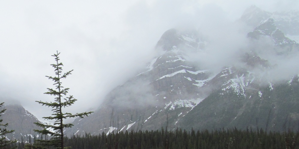
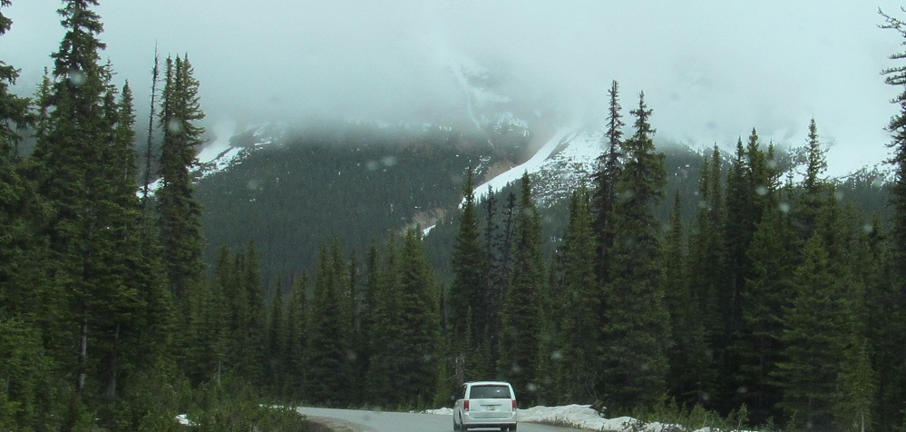
A different view of Mt. Sarbach before me, and one more of Mt. Wilson behind me.
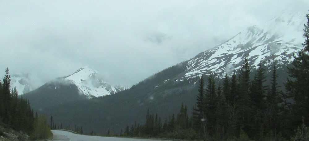
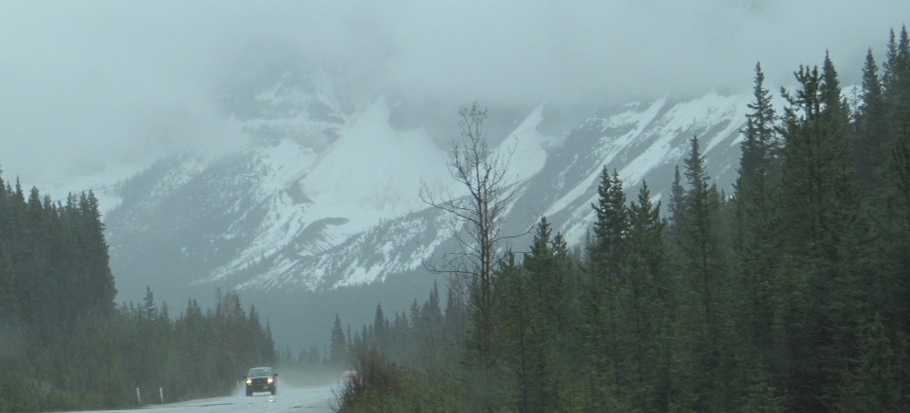
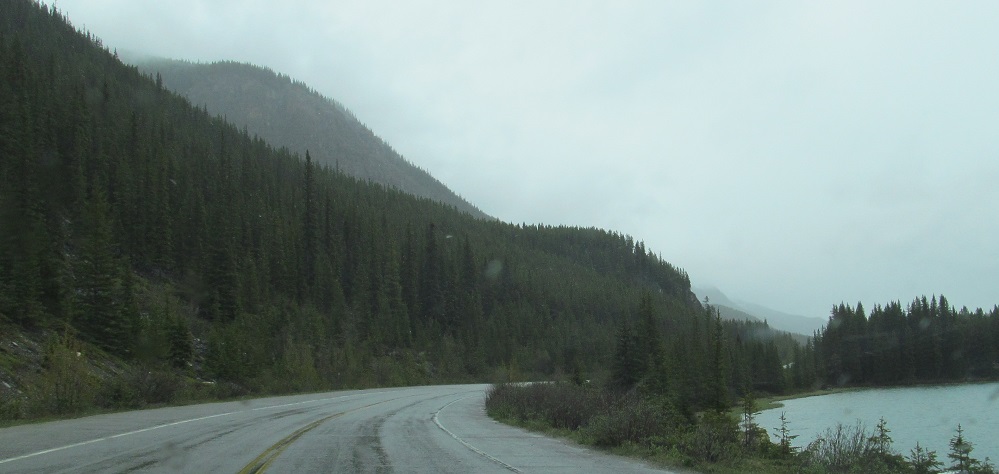
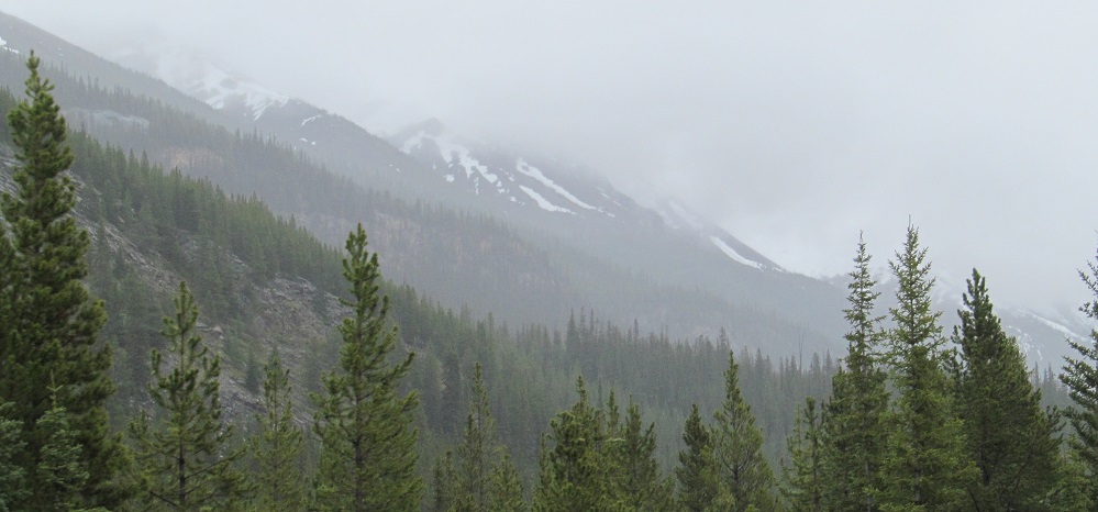
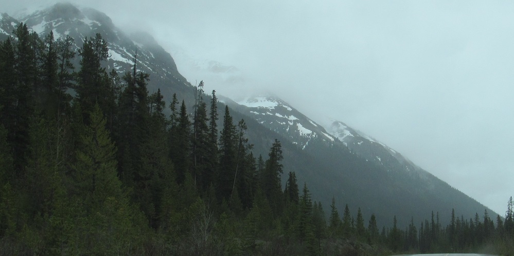
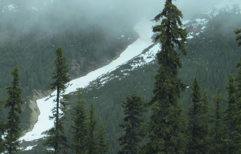
Mt. Sarbach gives way to Christian Peak, followed by Epaulette Mountain. The last 3 photos pan from left to right looking west at Mt. Sarbach's flank.
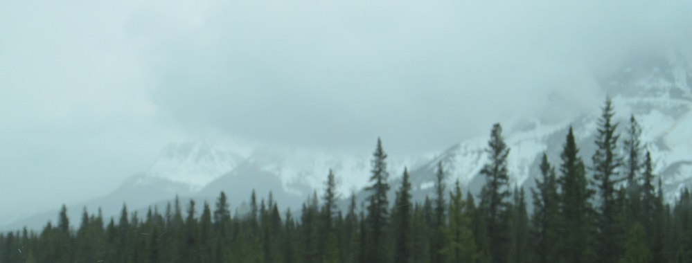
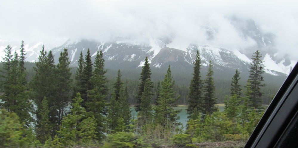
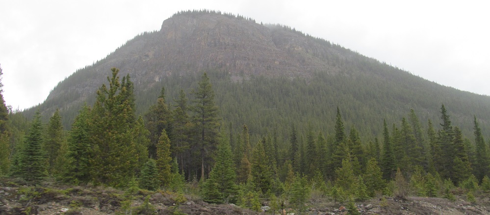
Say hello to Mt. Chephren, next up after Epaulette. On the left, Spreading Peak is doing what it does best, on down to the roadside.
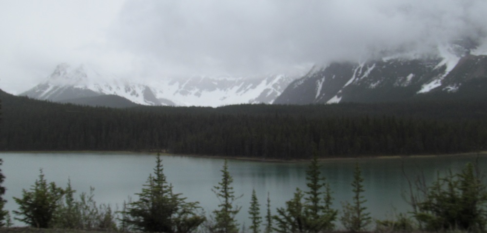
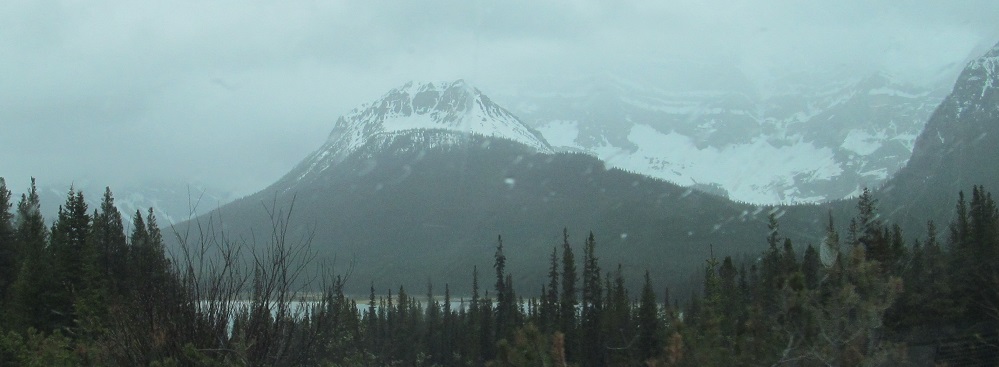
Looking west across the northern of the Waterfowl Lakes, with Aiguille and Howse Peaks on either side of the concave bowl, then with Mt. Chephren on the right. It used to be named Pyramid Mountain, but that name was already in use, and meanwhile, there's a peak just behind it called White Pyramid in order to distinguish it from what is now Mt. Chephren.
On the east, Mount Noyes is next, to be followed by Mount Weed (not given its own closeup).
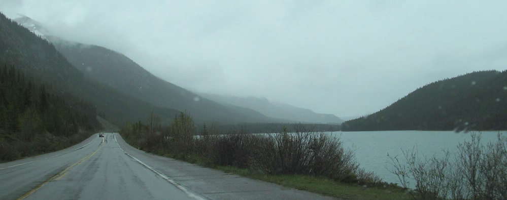
Left and right photos looking west along the southern Waterfowl Lake. The first prominence is Aries Peak, and the second photo shows off the foothills of Midway Peak and Mt. Synge. Aiguille Peak is just north of here.
I'll return to Mt. Patterson in a bit. It's the one in the distance at the end of the straightaway.
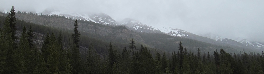
Silverhorn Mountain is a very long ridge on the east side of Highway 93. The first photo starts at the slopes of Mt. Weed. The last 3 photos pan from south to east, and all of the peaks you see are part of Silverhorn.
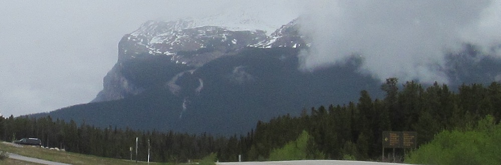
Peaks not named Silverhorn: Mt. Patterson (right/west), Caldron Peak (southwest), Mt. Jimmy Simpson (south). The latter is named for an outfitter who supplied early expeditions to the Canadian Rockies. If you had lived back then, this could have been your mountain.
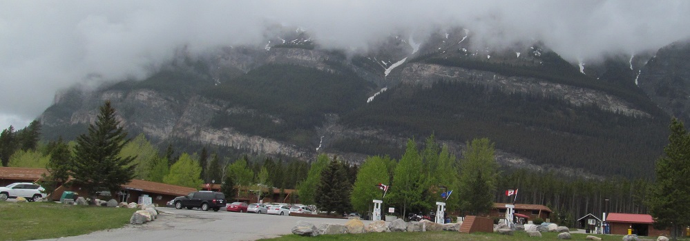
Did you miss Silverhorn Mountain? Here's more Silverhorn Mountain. All but the first photo look east from the Bow Summit turnoff.
Continue south on Highway 93
Back north on Highway 93
Back to Highway 93 main page
Back to Alberta Non-Roads
Back to Non-Roads main page