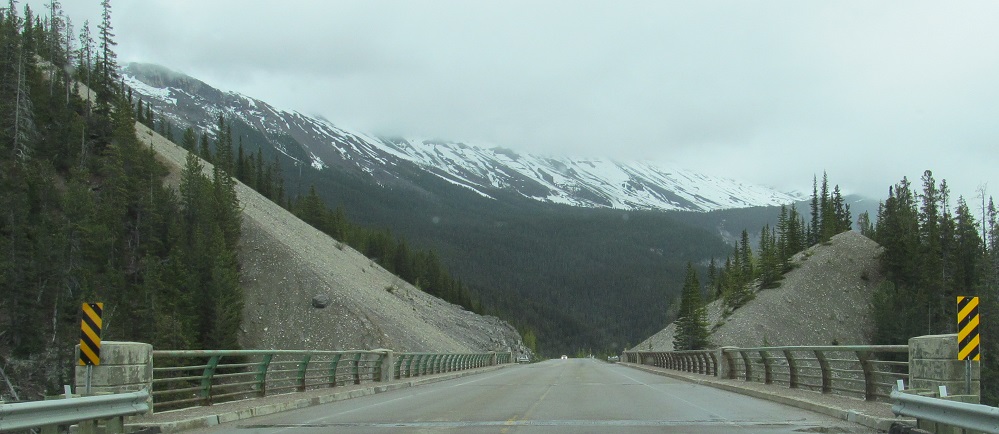
Alberta - Highway 93 - Banff Park - Big Bend-Mt. Wilson
Highway 93, Icefields Parkway
Banff National Park, Big Bend to Mount Wilson
Photos progress from north to south.
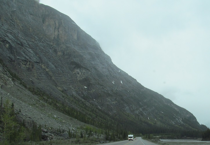
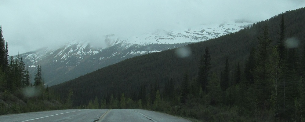
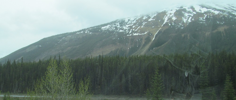
Leaving the sharp curve known as Big Bend, photos pant to the right from Cirrus Mountain to Mt. Saskatchewan, whose eponymous glacier is the source of the North Saskatchewan River that then flows to the eponymous province.
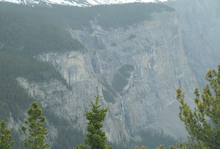
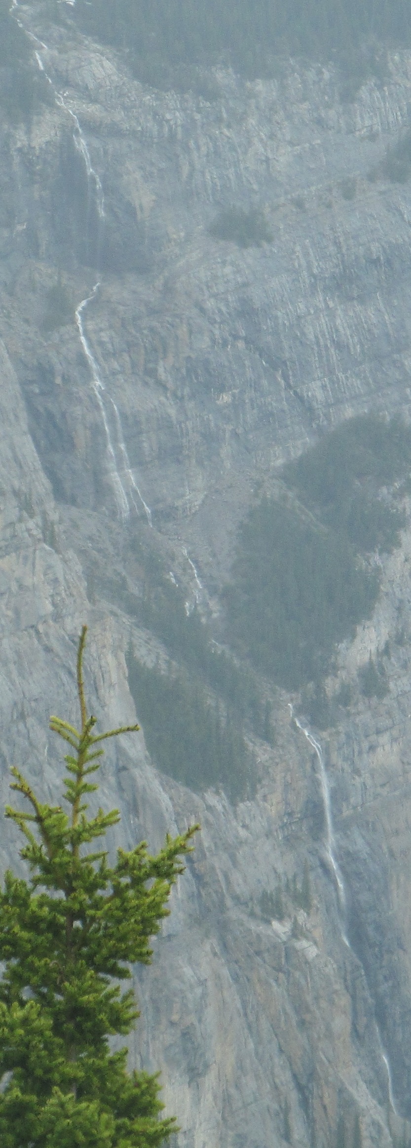
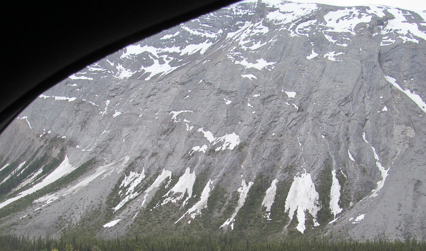
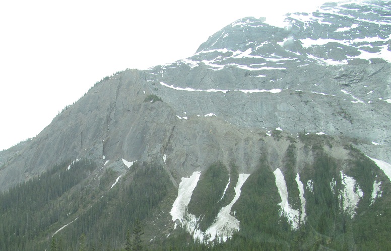
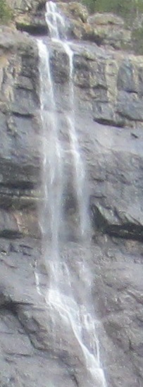
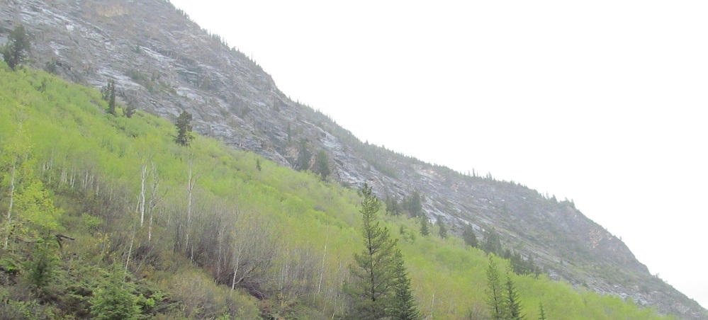
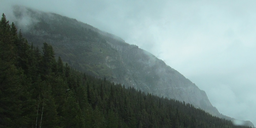
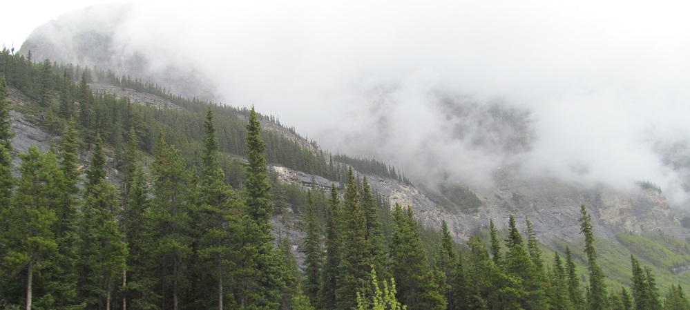
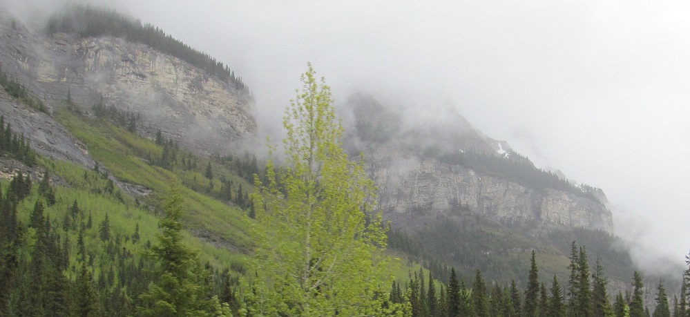
The main ridge of Cirrus Mountain, panning left (northeast) toward other ridges and peaks that are all part of the Cirrus system. Click on the first photo for a closeup of the tall waterfall.
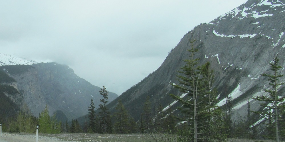
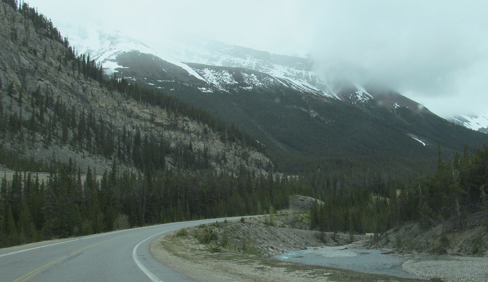
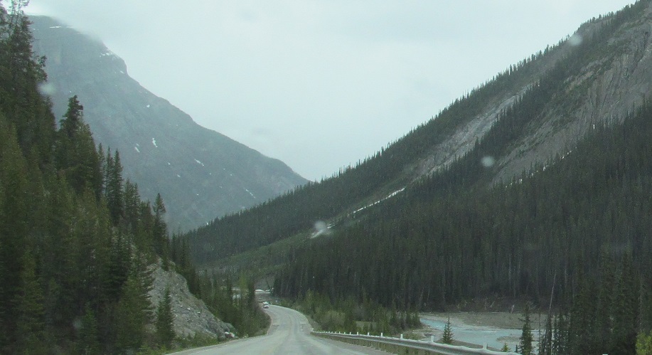
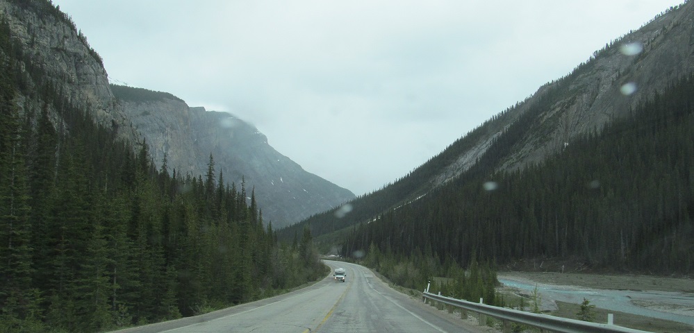
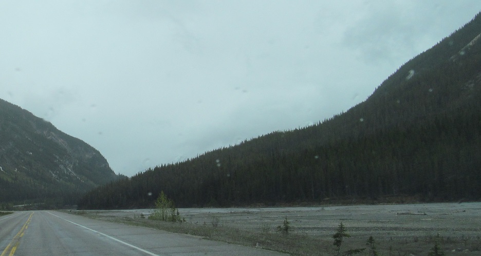
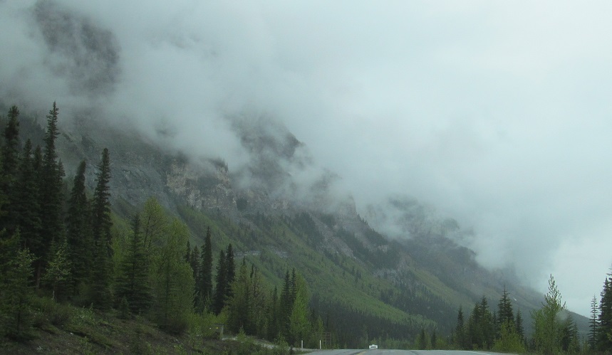
Looking left, right, left as the highway crosses Nigel Creek leaving Big Bend between Cirrus Mountain and Mt. Saskatchewan.
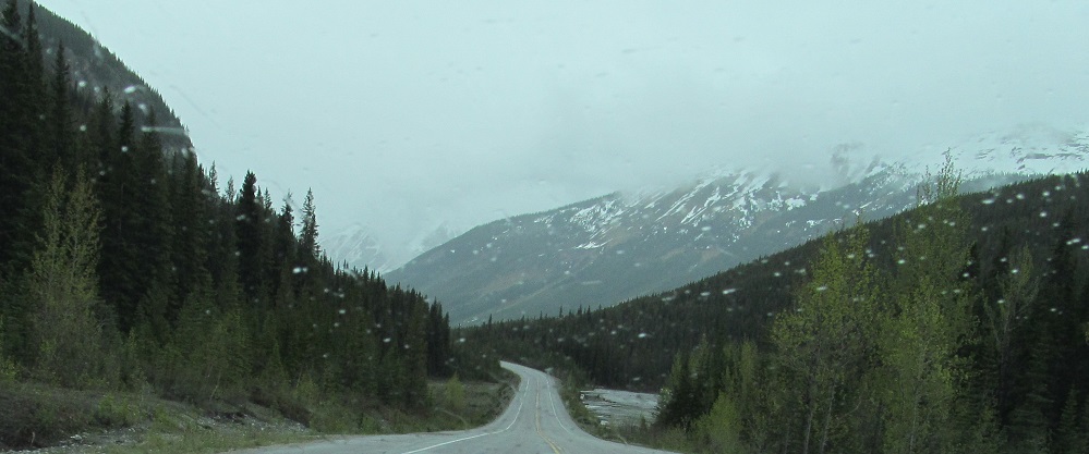
Looking right and then more right (west) along Mt. Saskatchewan until I get my last view of Big Bend Peak.
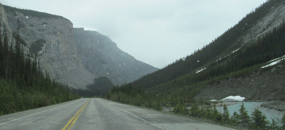
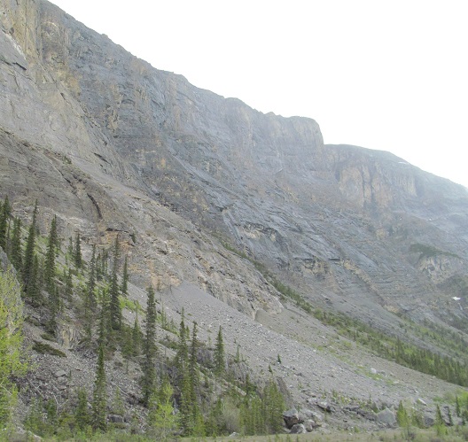
Various views that include some part of Mt. Saskatchewan's east flank, and Nigel Creek makes its debut.
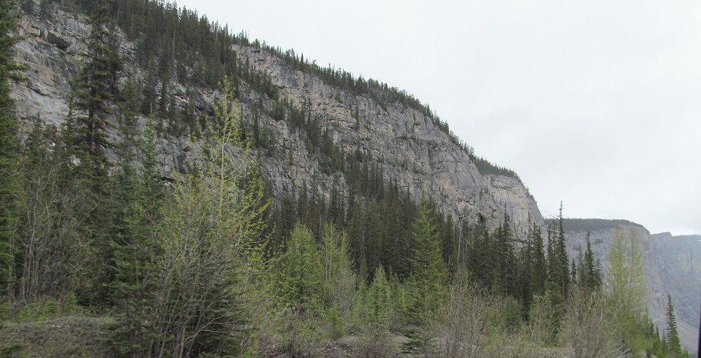
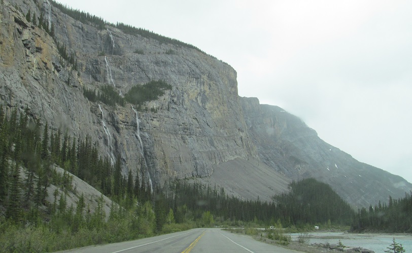
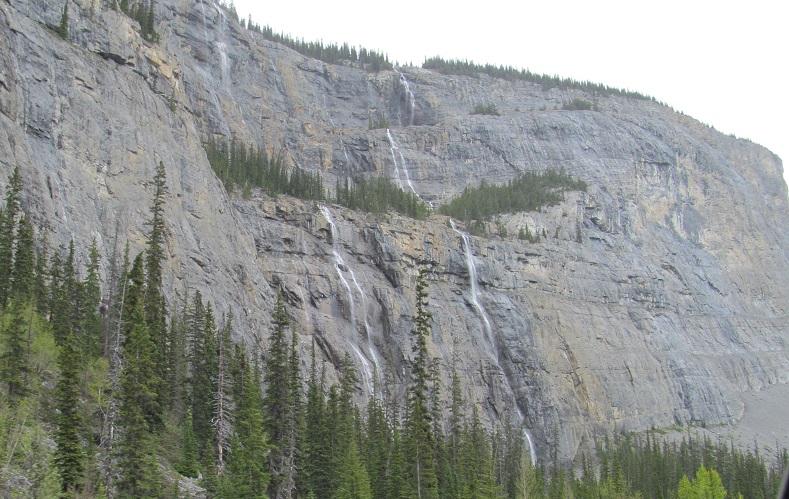
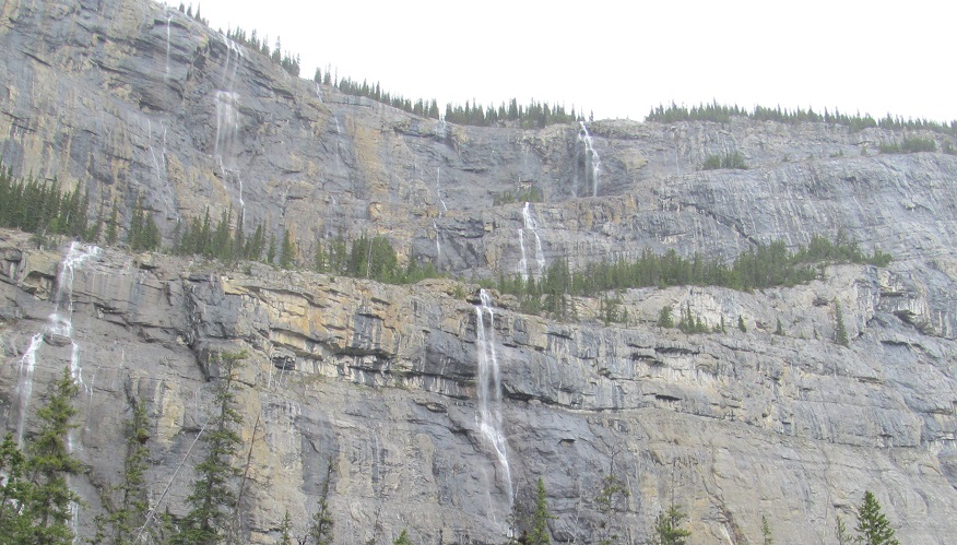
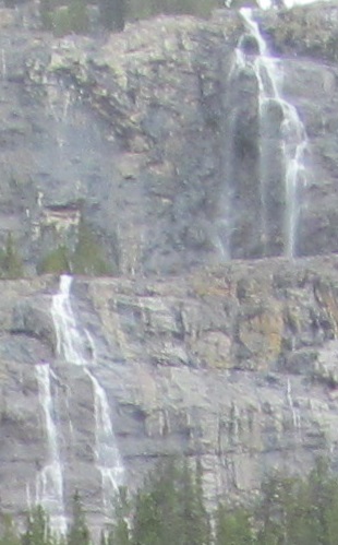
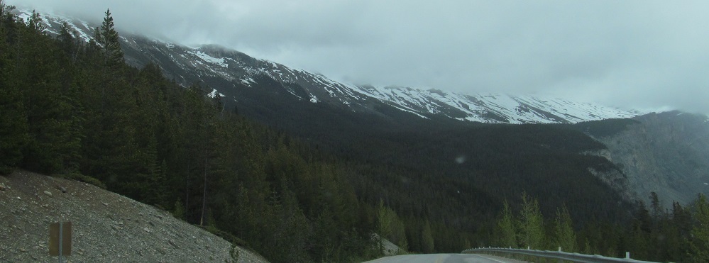
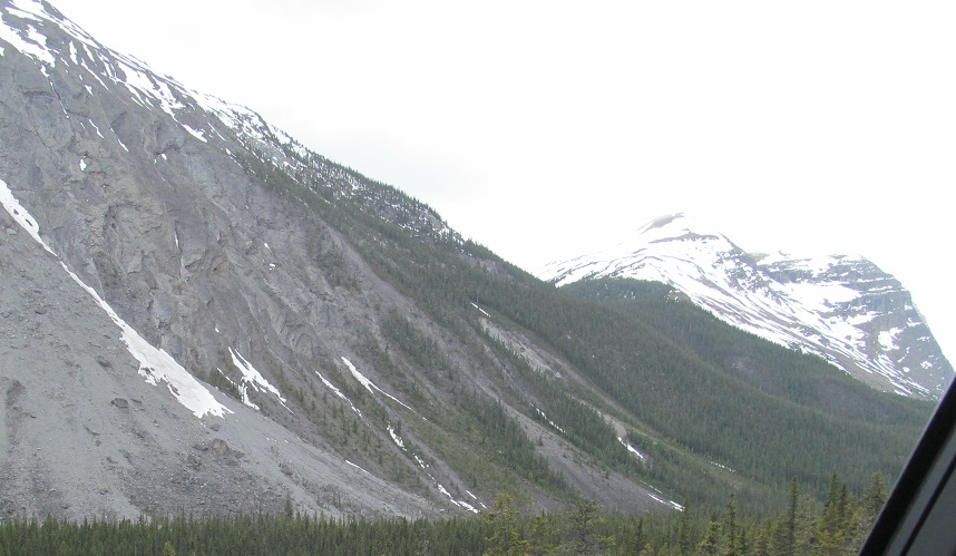
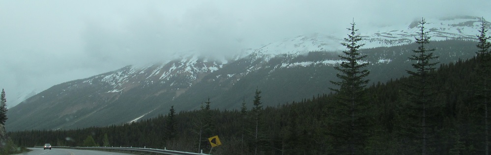
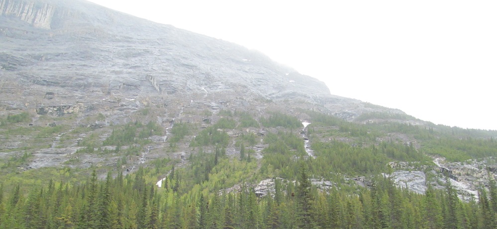
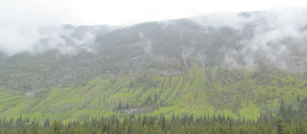
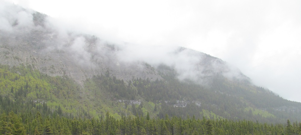
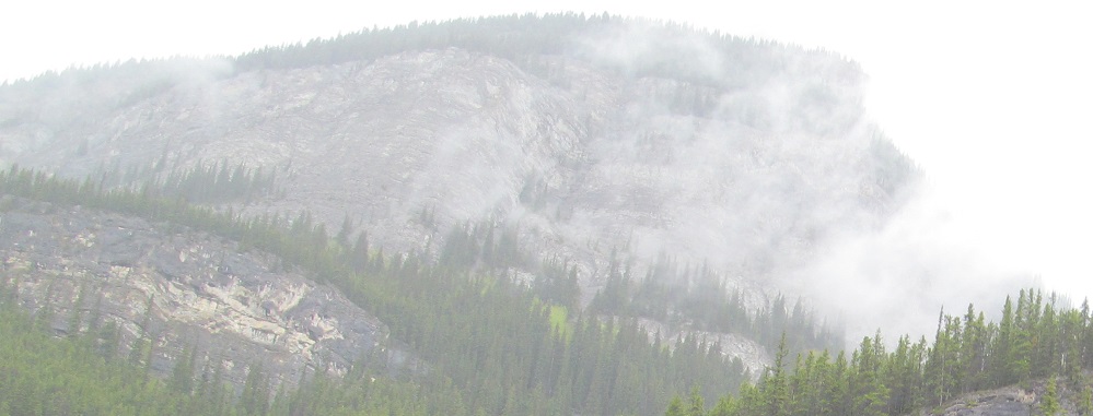
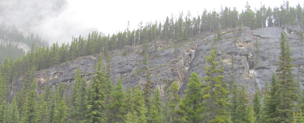
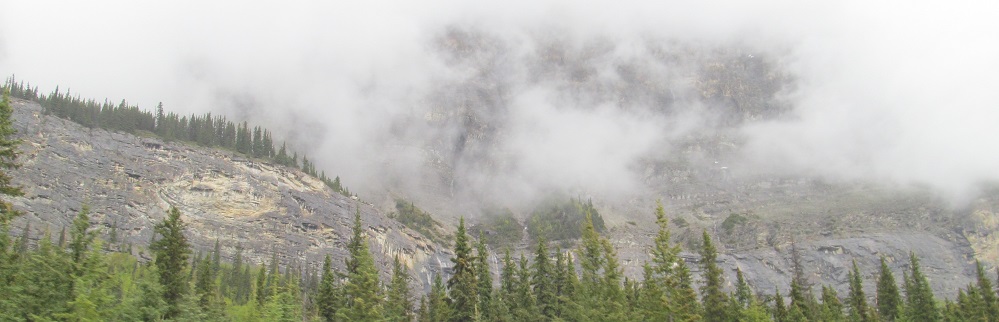
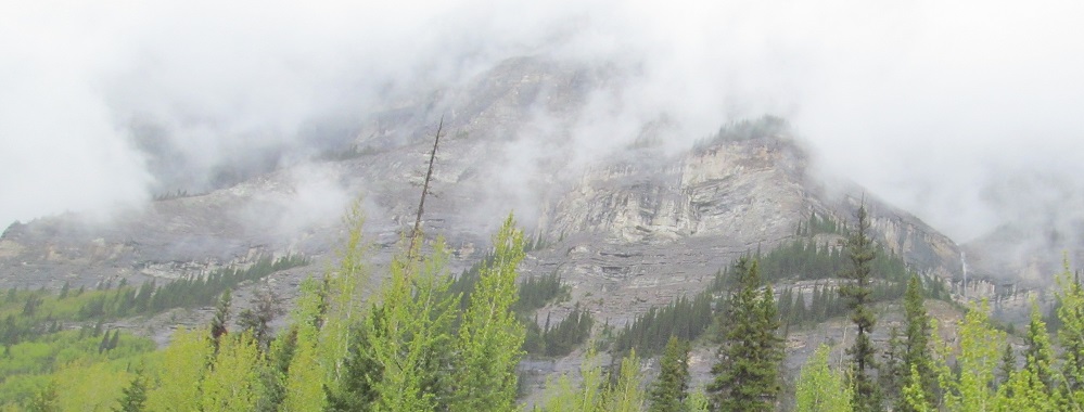
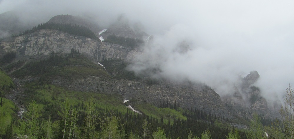
Various views that include only Cirrus Mountain - still going after all these kilometres - ending at the Weeping Wall's collection of gossamer waterfalls.
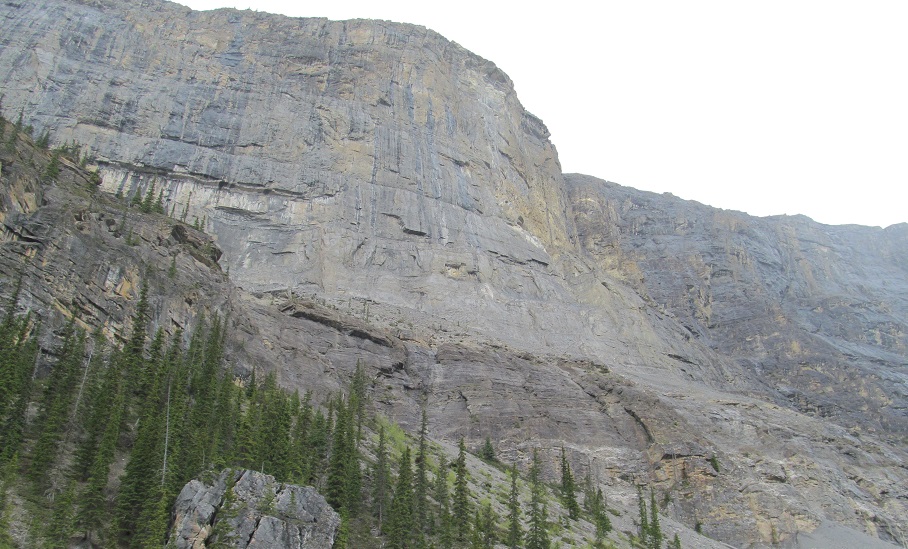
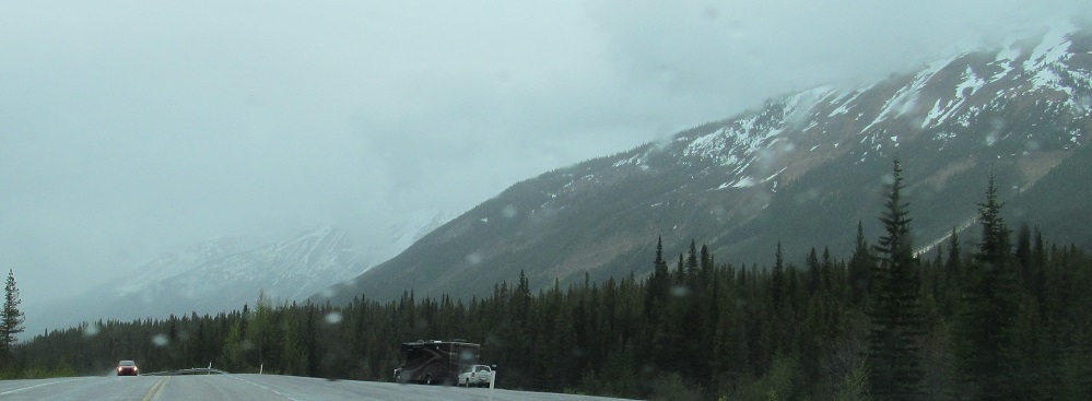
Panning from Saskatchewan (west) to Cirrus (east) for 4 photos, then ending on another eastward photo.
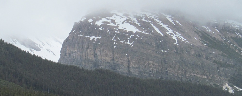
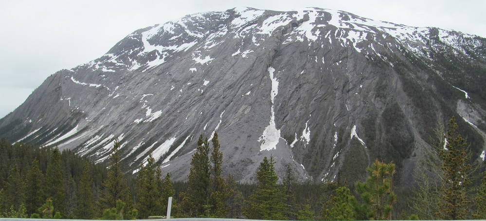
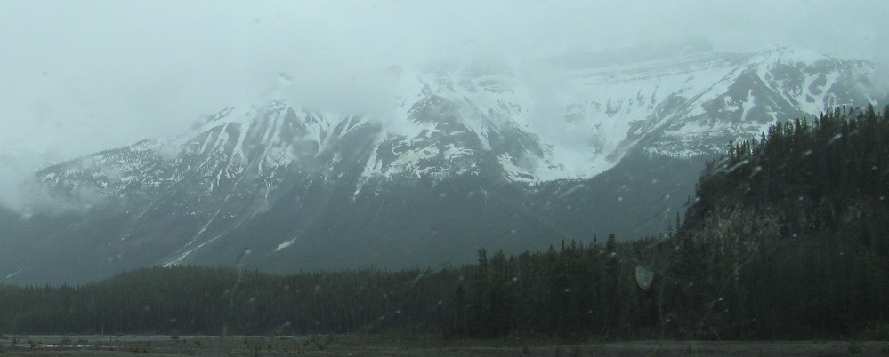
Finally, Mt. Saskatchewan is starting to come to an end. Mt. Amery peeks into the 4th photo.
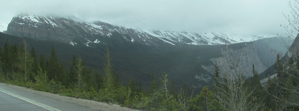
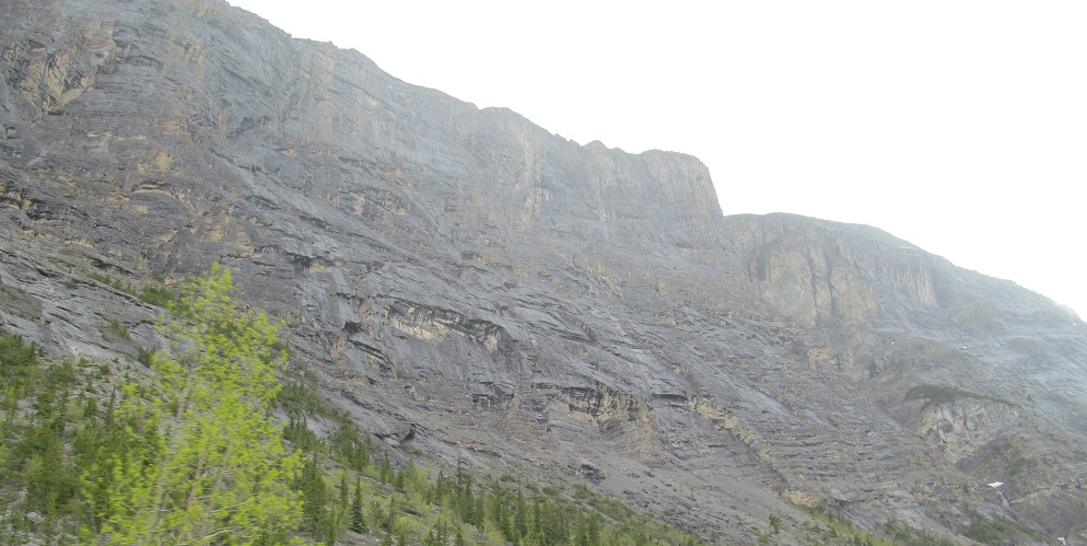
Similarly, on my left, Mount Cirrus has given way to the connected Mount Coleman, which is also coming back to Earth.
The last foothills of Mt. Coleman to the east (left-right photo
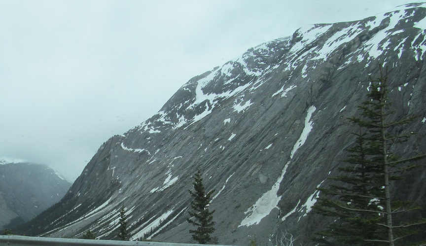
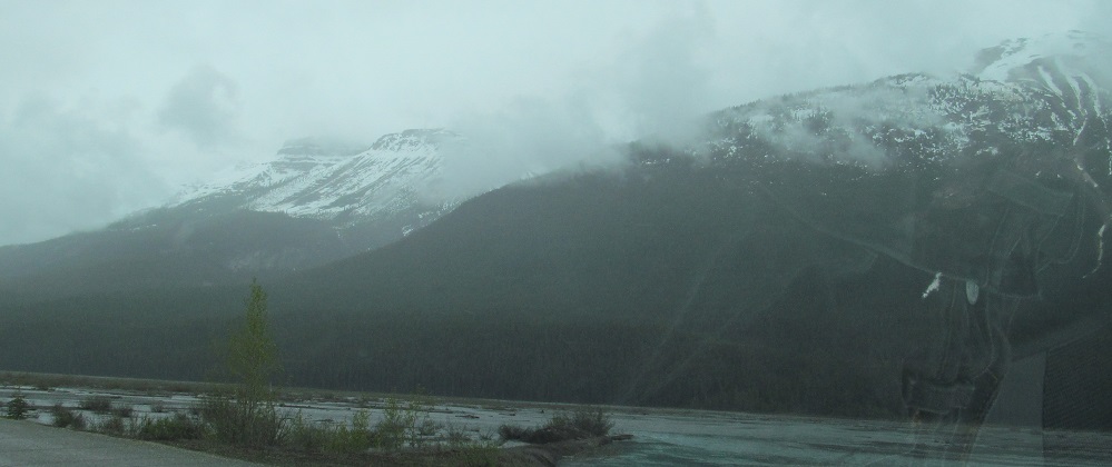
The base of Mt. Harlan appears ahead, passes to my left, and gives way to the beginning of Mt. Wilson.

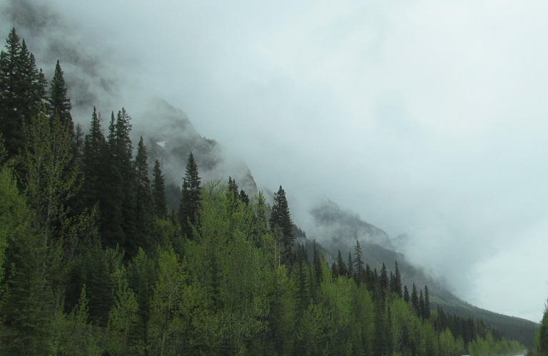
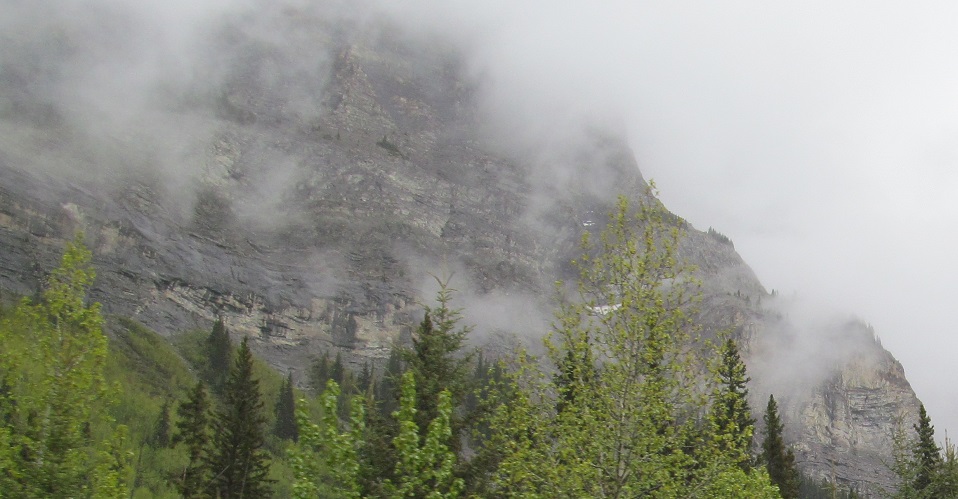
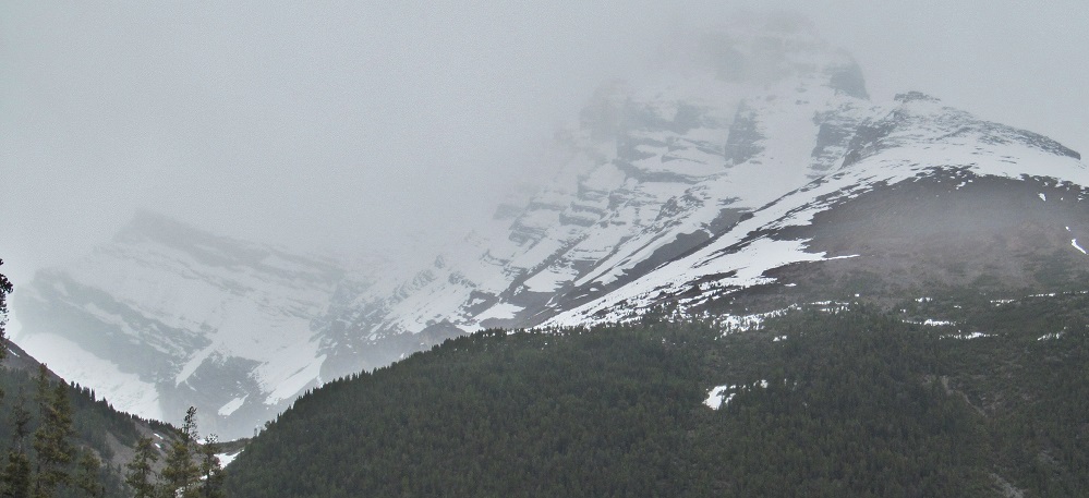
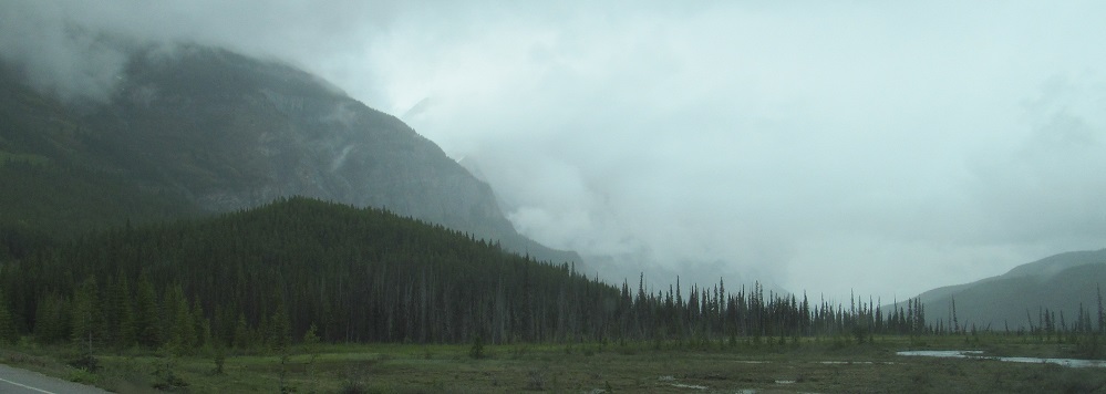
I hope I'm not making you dizzy by switching from southerly to easterly and back multiple times, but here are all the views you can handle of Mount Wilson in dense fog.
Continue south on Highway 93
Back north on Highway 93
Back to Highway 93 main page
Back to Alberta Non-Roads
Back to Non-Roads main page