Alberta - Highway 93 - Banff Park - Big Bend & N.
Highway 93, Icefields Parkway
Banff National Park, Big Bend and north
Photos progress from north to south.
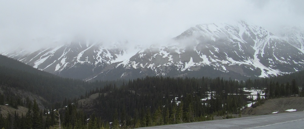
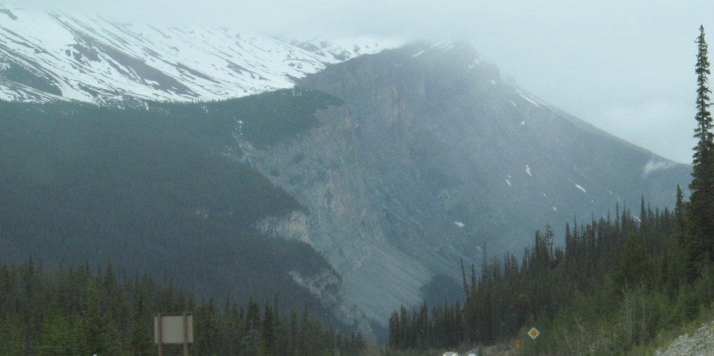
Right and left views of the side of Nigel Peak's secondary Nigel SE3 peak at Sunwapta Pass, which marks the gateway between Jasper and Banff National Parks. Photos look east.
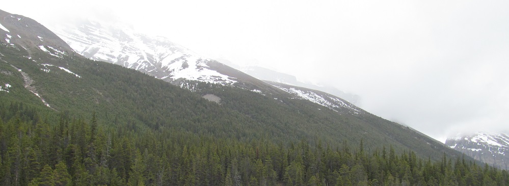
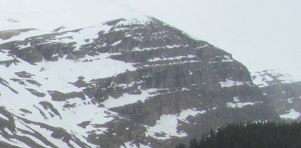
Parker Ridge is to the south, running up into Mt. Athabasca to the southwest, which then comes down to Hilda Peak in the west.
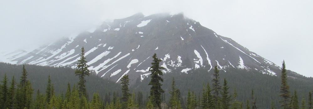
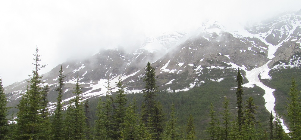
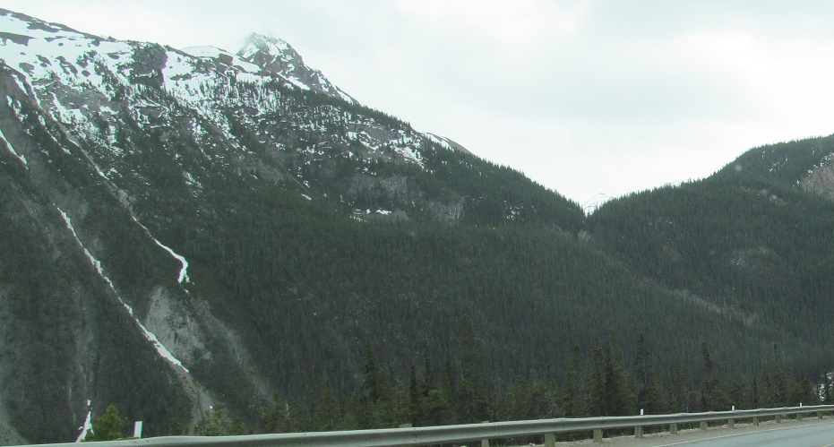
Nigel SE3 is looking very stripy.
Two left-right pairs of Parker Ridge photos and the slopes of Mt. Athabasca.
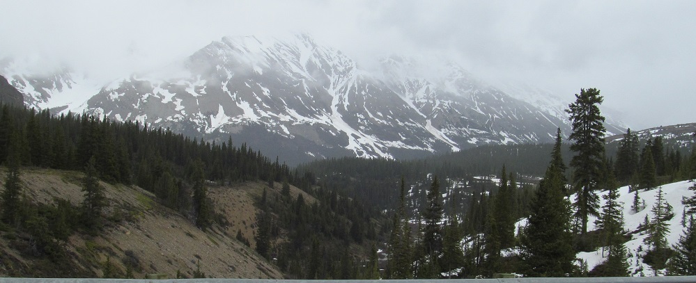
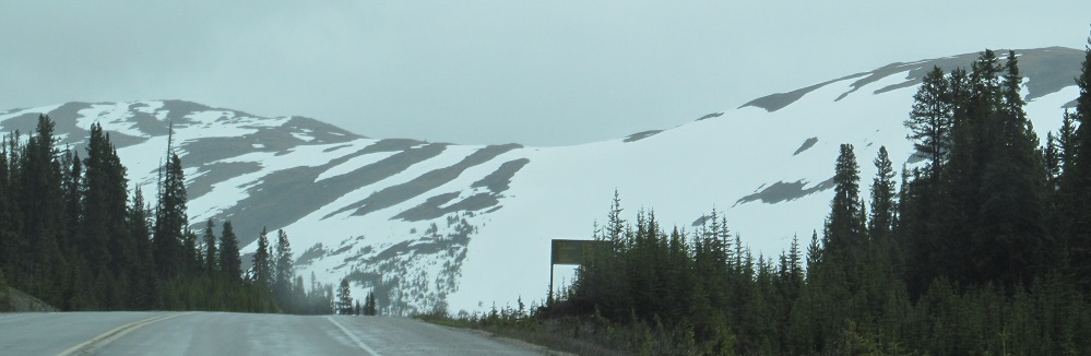
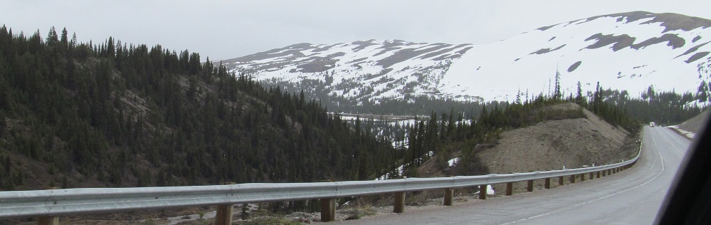
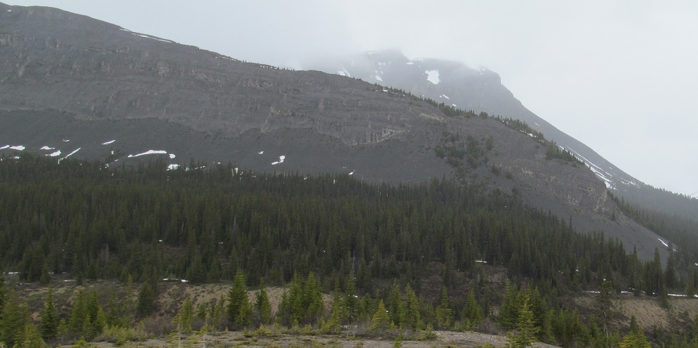
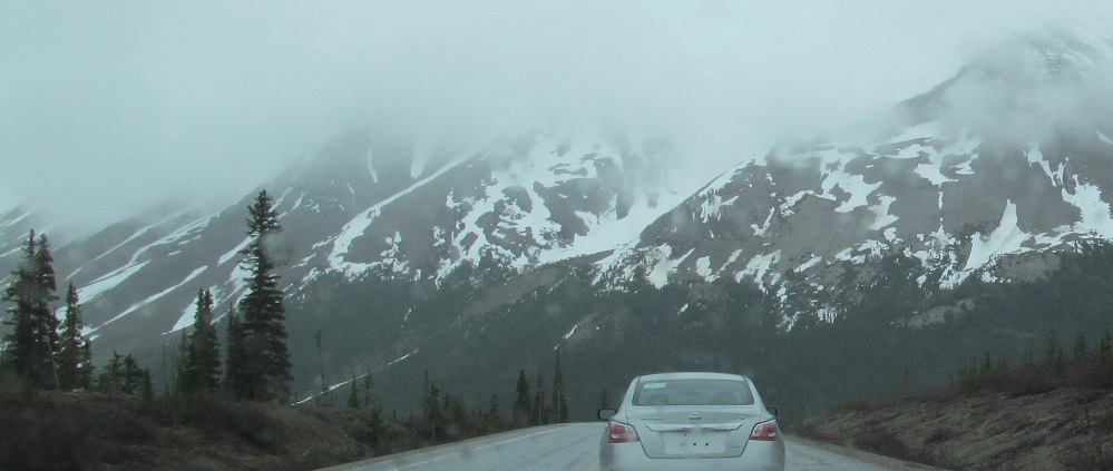
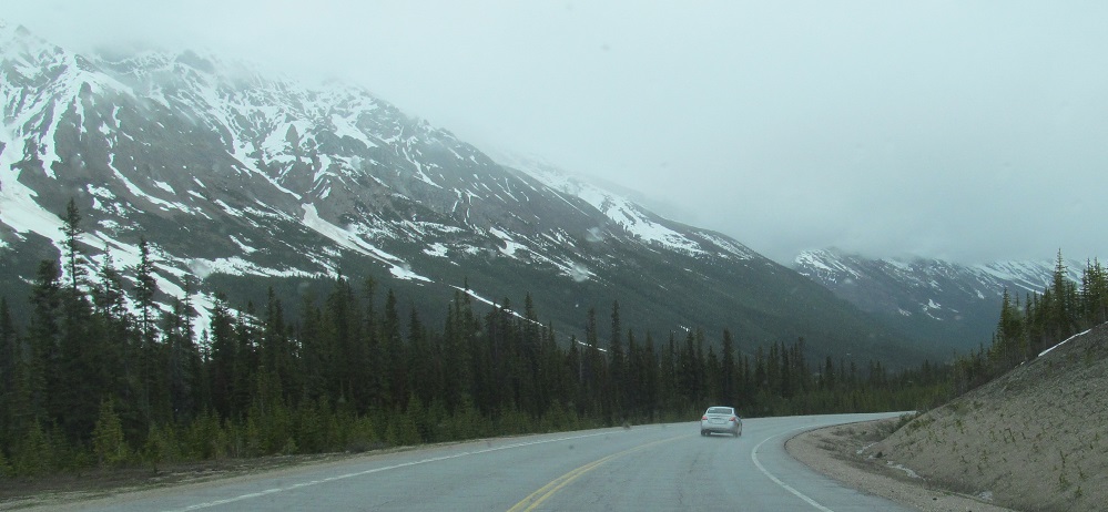
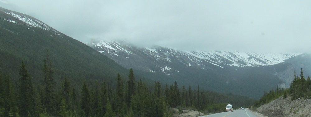
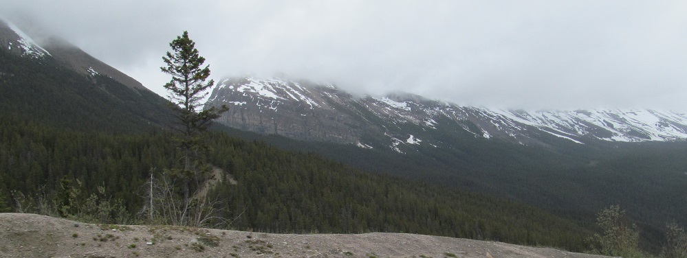
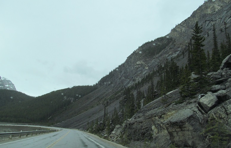
The road curves east toward the foothills of Cirrus Mountain. Or maybe I should call them footmountains, since they're 2,700 metres high in their own right, which only pales to the peak's 3,200 m.
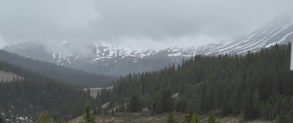
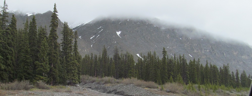
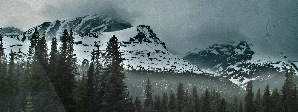
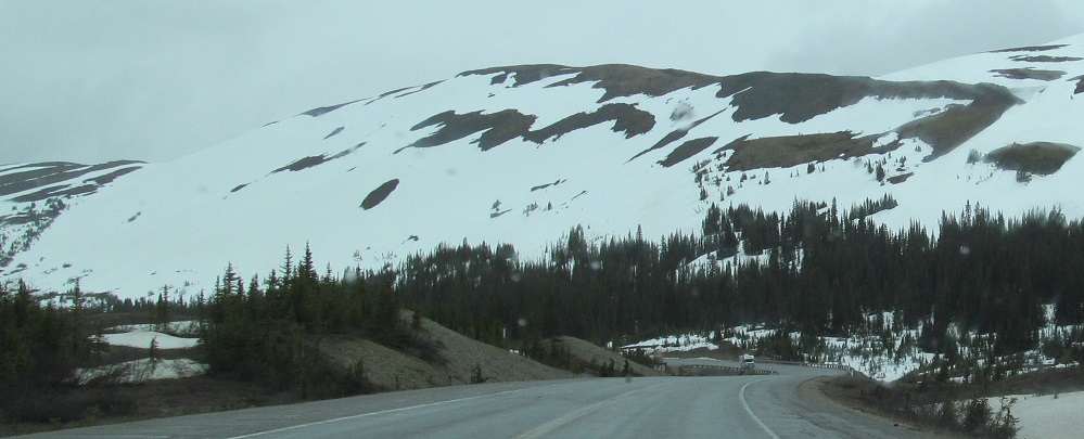
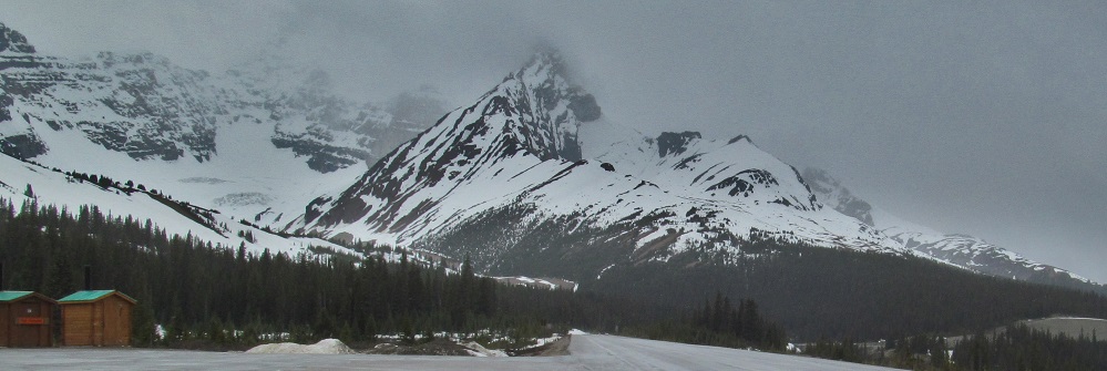
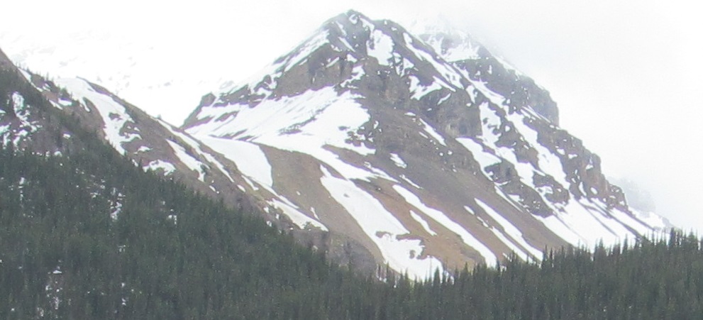
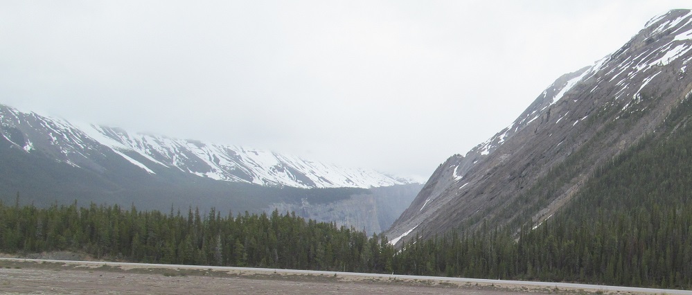
Starting in the northwest, at the divide between Wilcox Peak (left) and Nigel Peak, then panning eastward across Nigel SE3 until it peters out in front of a nameless bluff.
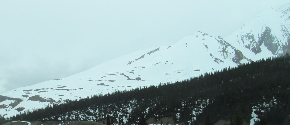
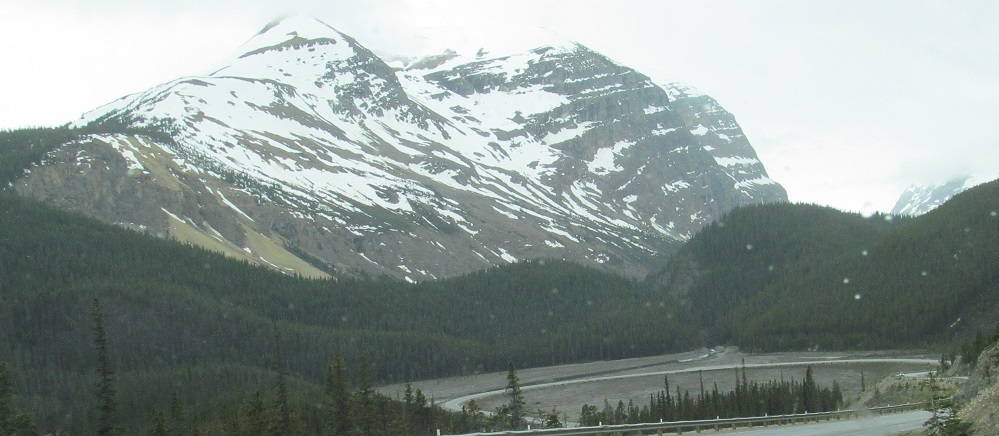
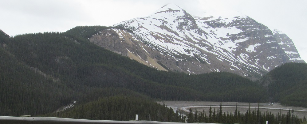
Looking west into the heart of Mt. Athabasca, with Mt. Hilda to the right.
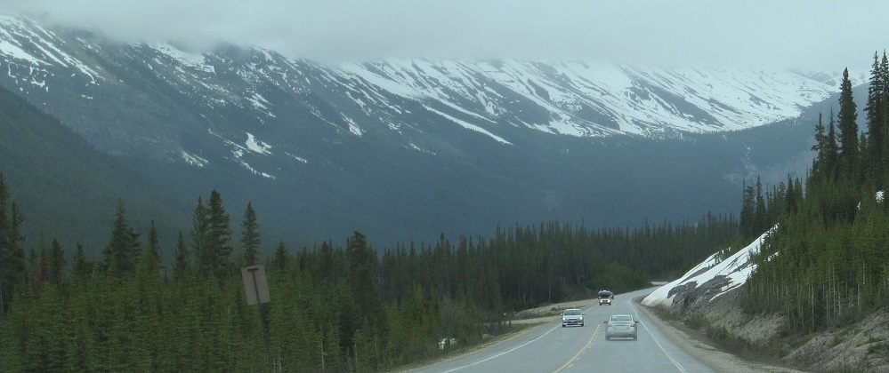
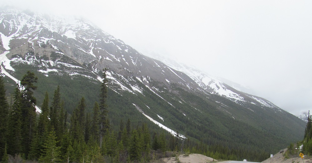
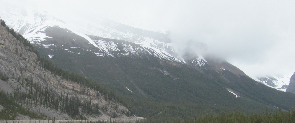
The highway is now headed east into the belly of Cirrus Mountain. The second photo looks east, and the last two look progressively more north until I'm facing the bottom of Nigel SE3.
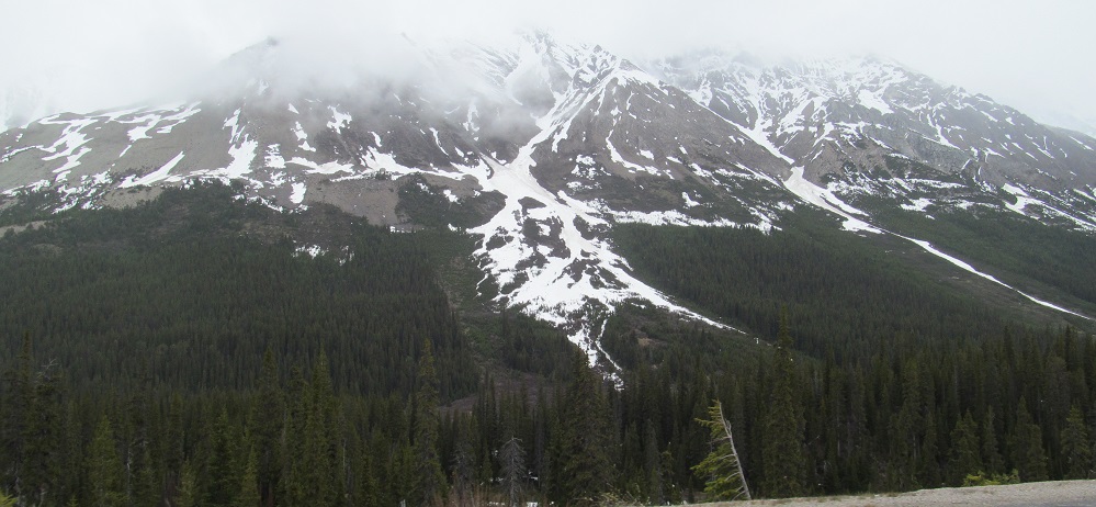
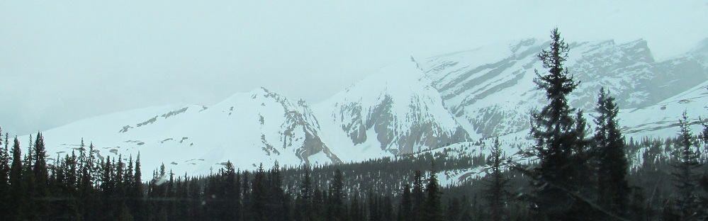
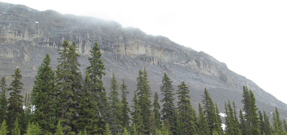
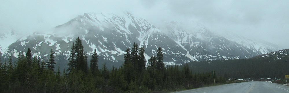
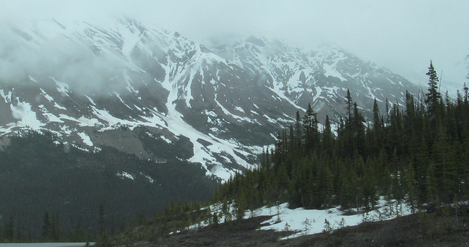
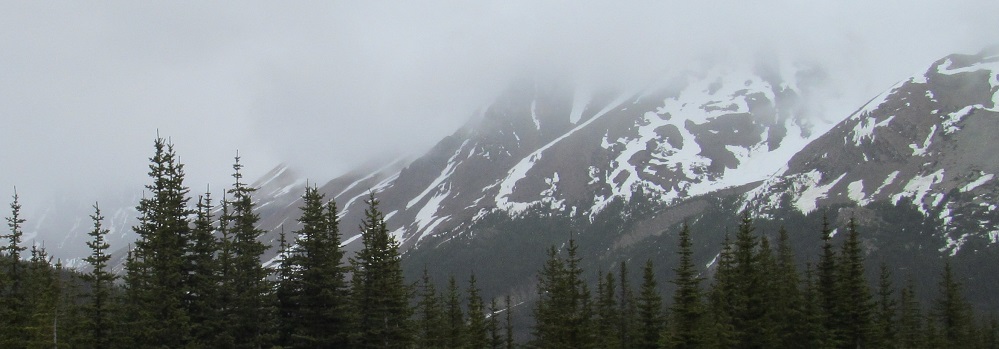
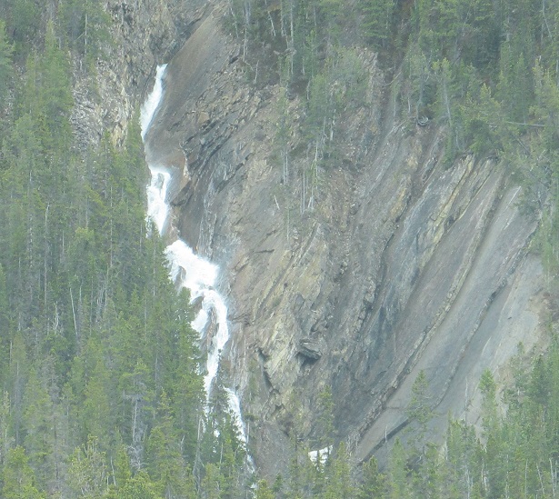
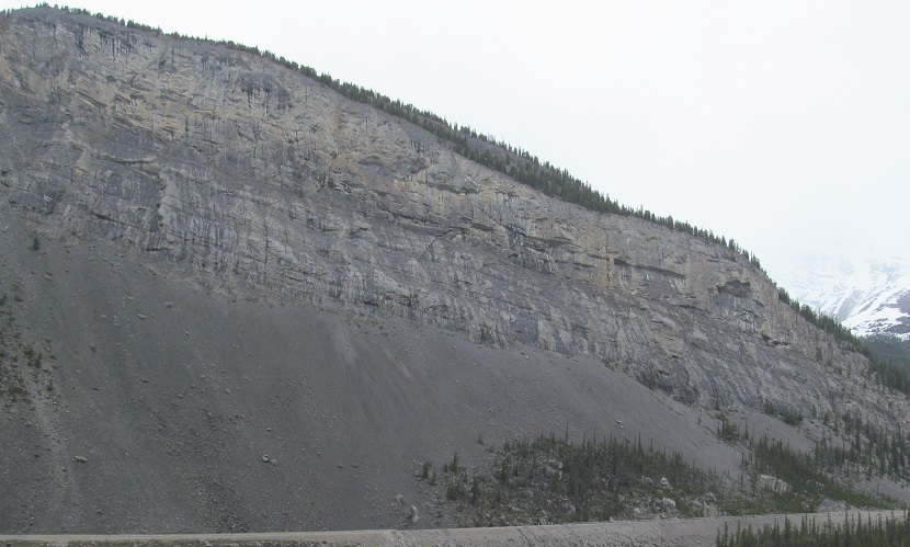
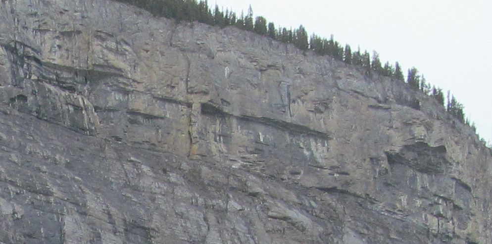
Various Cirrus Mountain views. It's a very long mountain. The first two and last two photos are left-right pairs.
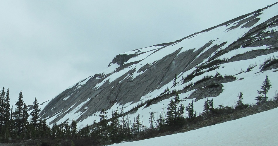
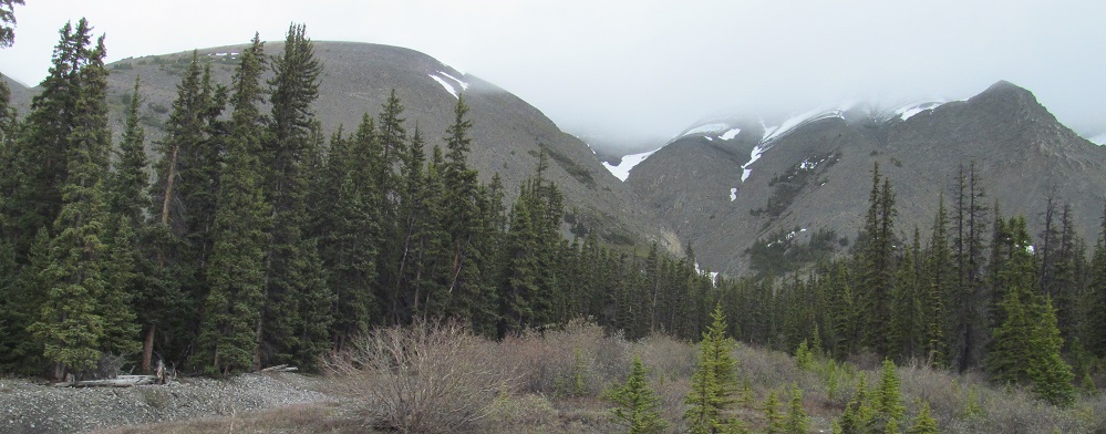
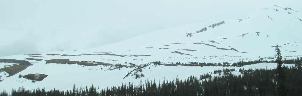
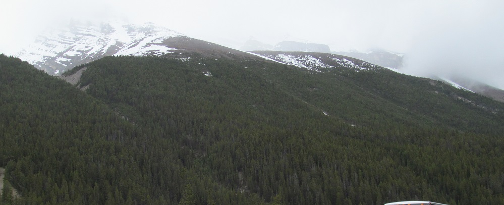
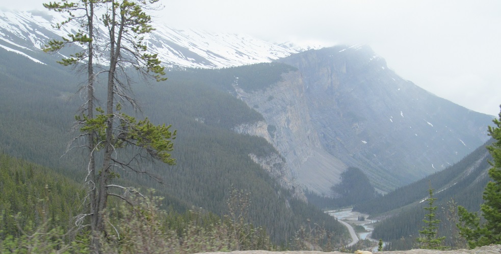
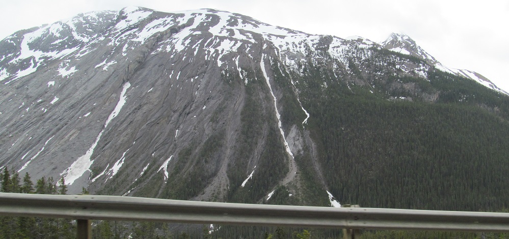
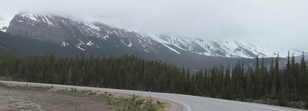
I'm now alongside Parker Ridge, and it's coming to an end.
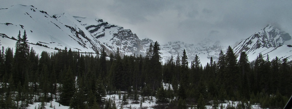
Mt. Cirrus, four times. The 2nd photo shows the main ridge that juts south from the peak, just about as high as the peak itself.
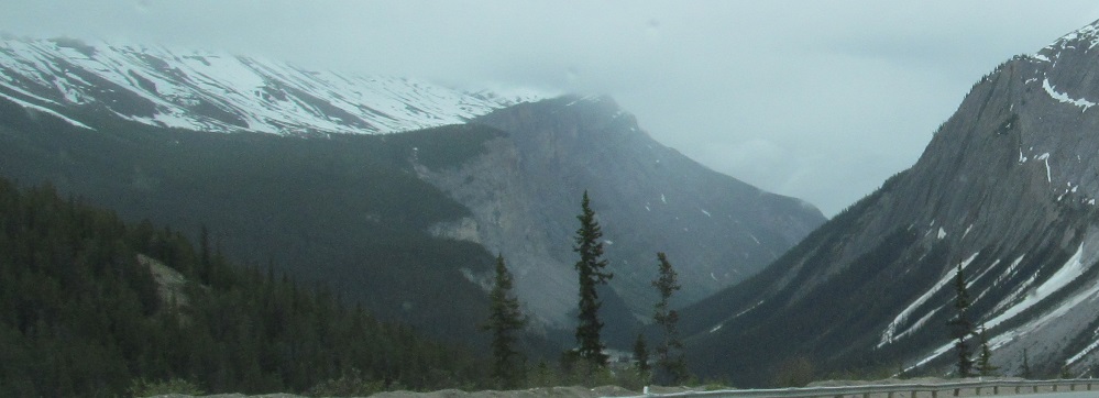
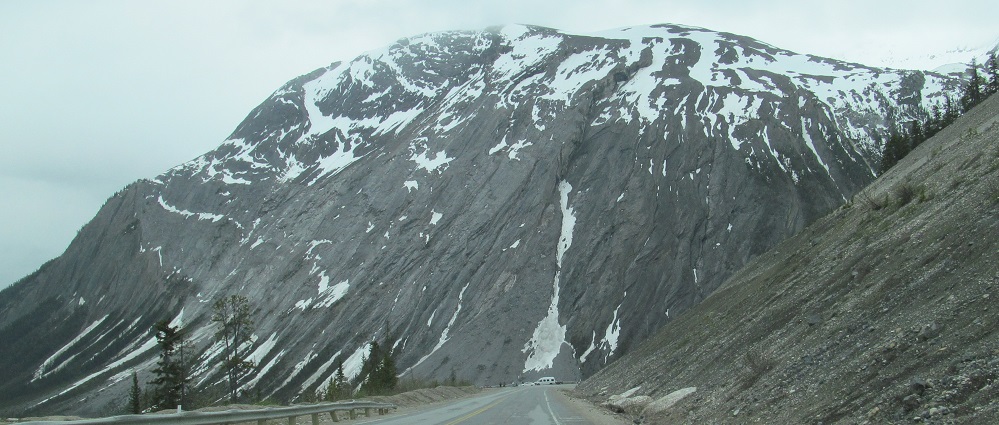
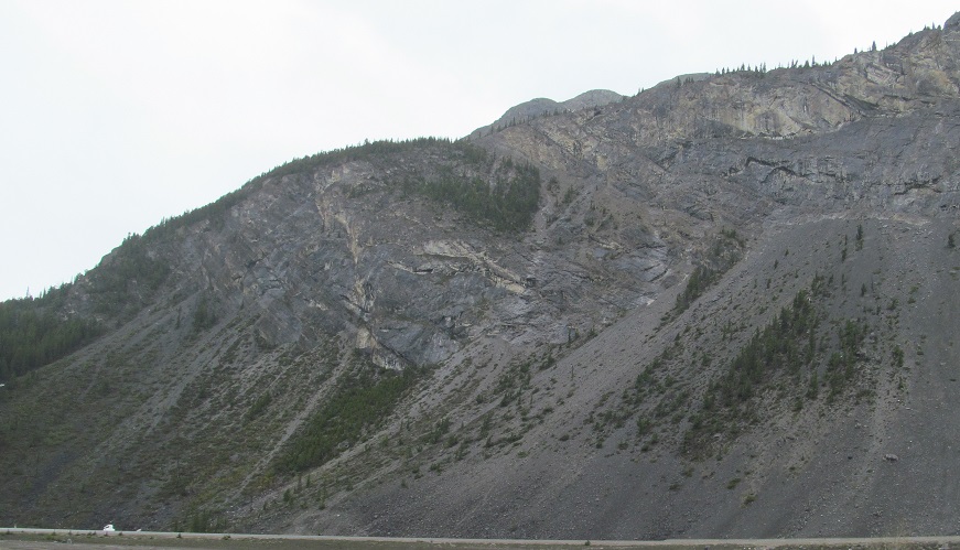
As the road prepares to curve into the Big Bend hairpin, it comes face to face with the east flank of Mt. Saskatchewan. It uses the out-and-back hairpin loop to lower its elevation to the Nigel Creek valley floor alongside Mt. Cirrus.
More views of Mt. Saskatchewan, a horseshoe-shaped mountain with a groove in the middle. Photos alternate east and west flanks; the west side of the mountain is topped by Big Bend Peak, which of course overlooks the Big Bend in the roadway.
The roadway is heading due west into the big 180° curve with the south face of Parker Ridge on the right. Photos pan southward across details of Mt. Saskatchewan back to the Nigel Creek valley and Mt. Cirrus.
Stopped on the south side of Big Bend (the curve, not the peak), I pan from Cirrus Mountain in the east past its auxiliary ridge to Parker Ridge in the north.
Continue south on Highway 93
Back north on Highway 93 into Jasper National Park
Back to Highway 93 main page
Back to Alberta Non-Roads
Back to Non-Roads main page