Alberta - Highway 93 - Jasper Park - S
Highway 93, Icefields Parkway
Jasper National Park, Tangle Ridge and south
Photos progress from north to south.
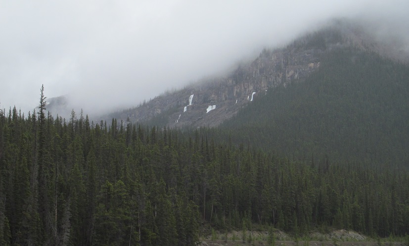
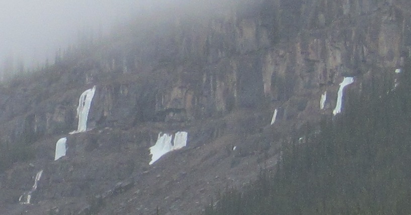
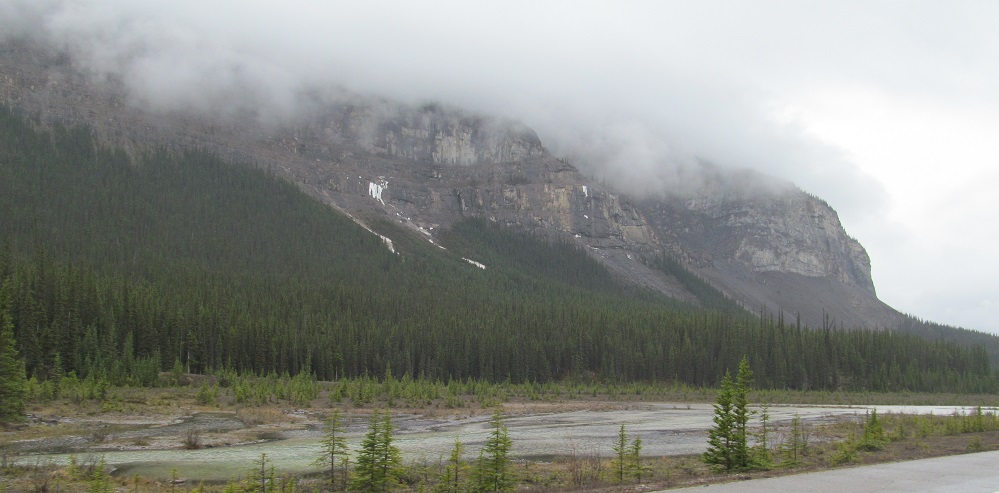
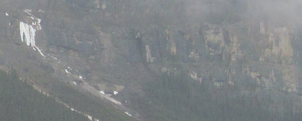
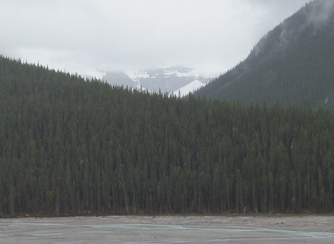
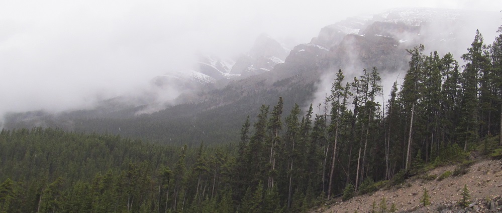
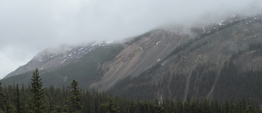
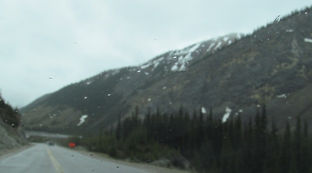
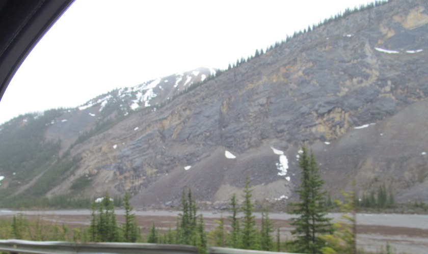
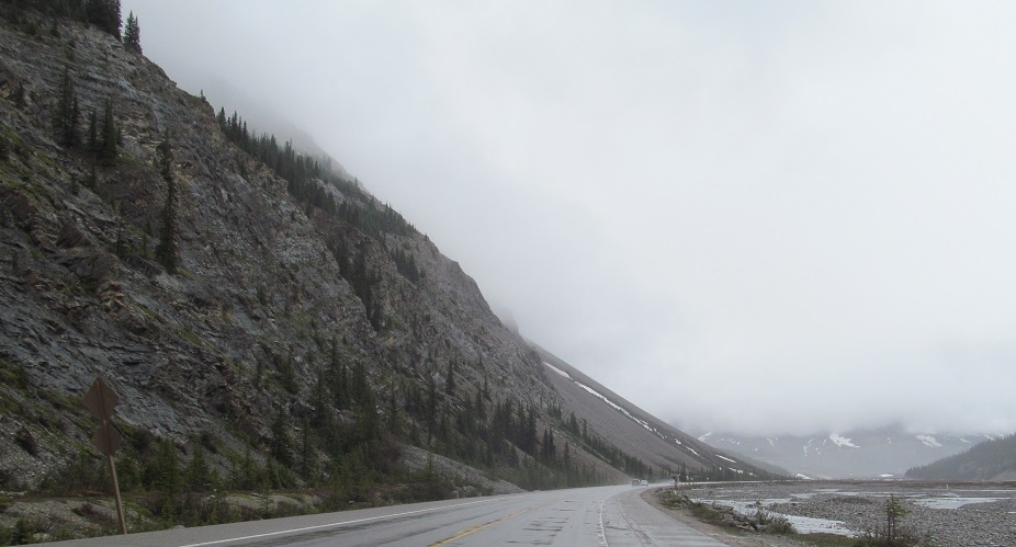
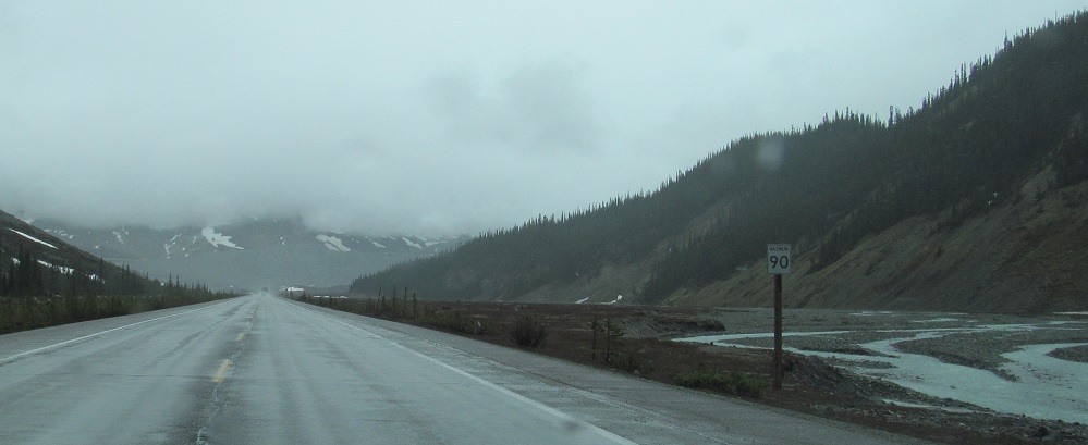
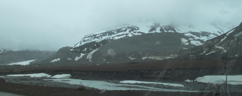
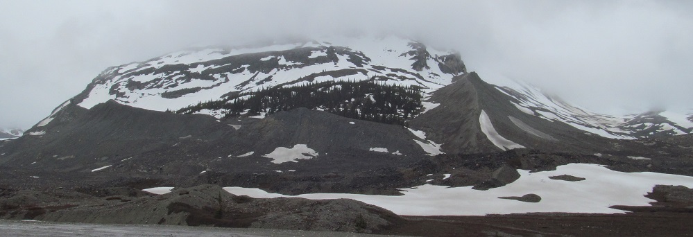
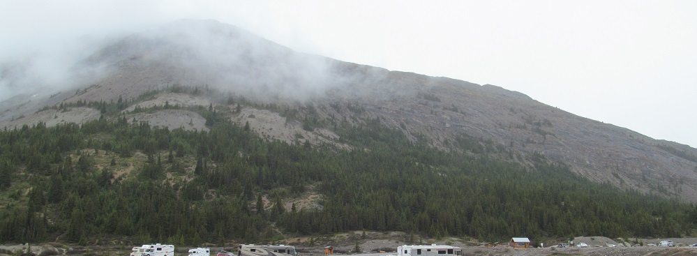
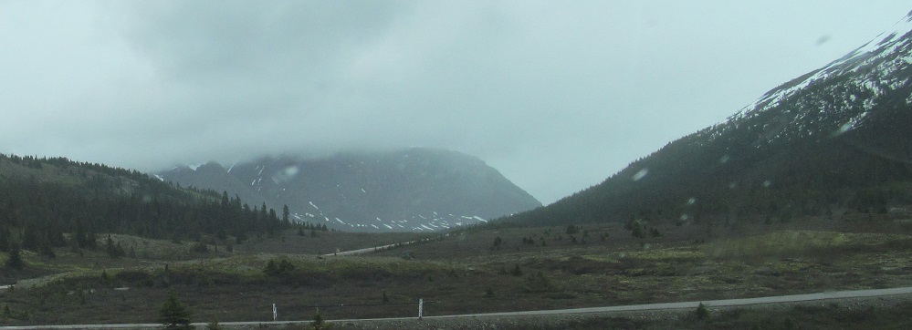
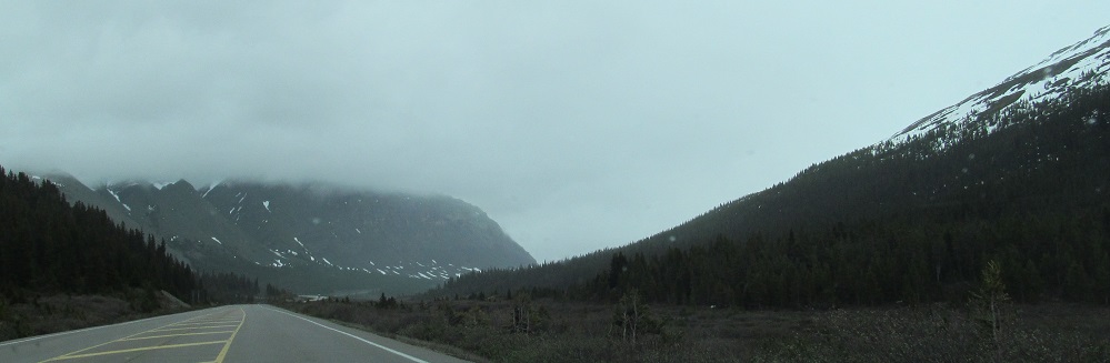
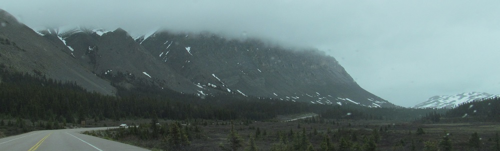
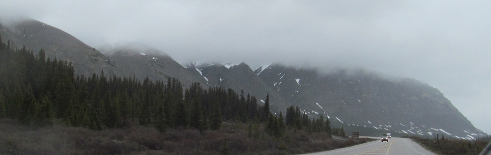
I left off the previous page with views of Tangle Ridge. The road now comes up alongside it, and in June there are ice falls on the north and northeastern faces. By August, I'm sure these become waterfalls.
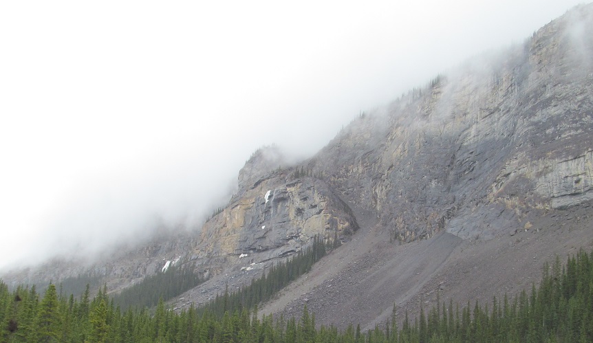
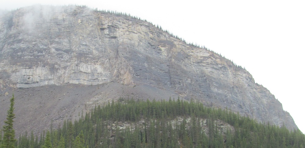
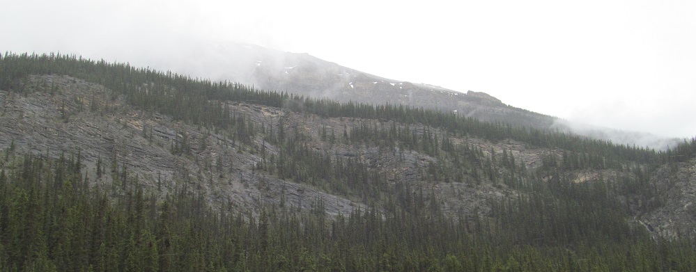
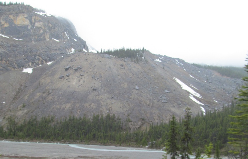
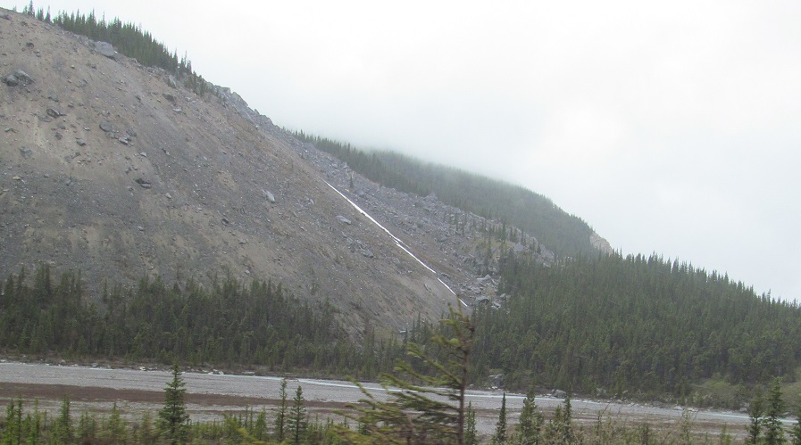
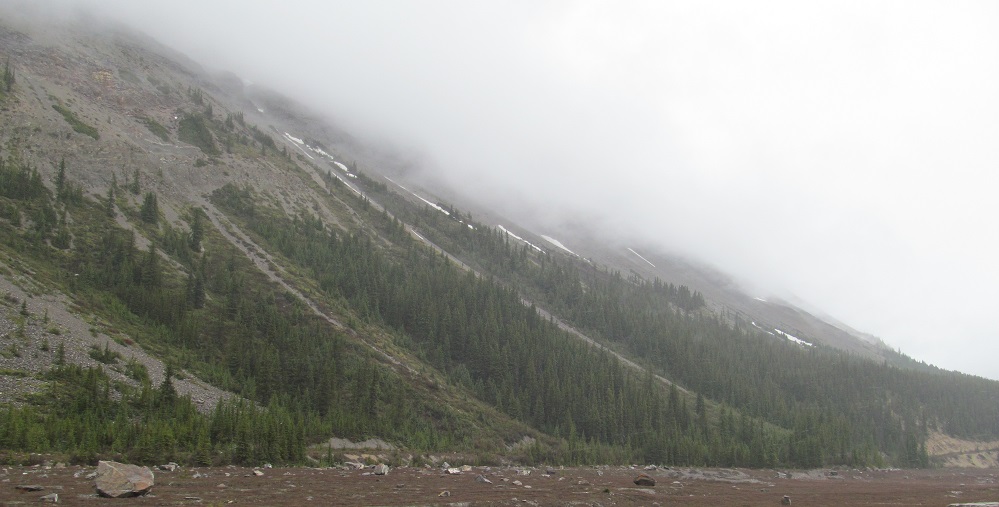
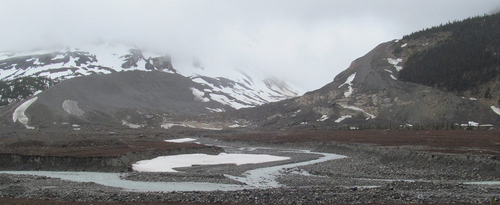
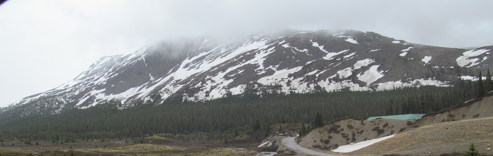
Enjoy more Tangle Ridge, starting with a left/right photo pair, as I make my way around the east side to the south.
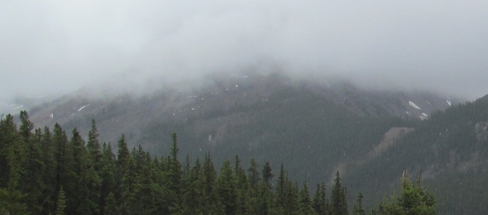
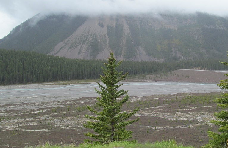
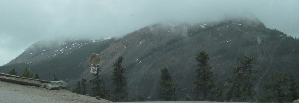
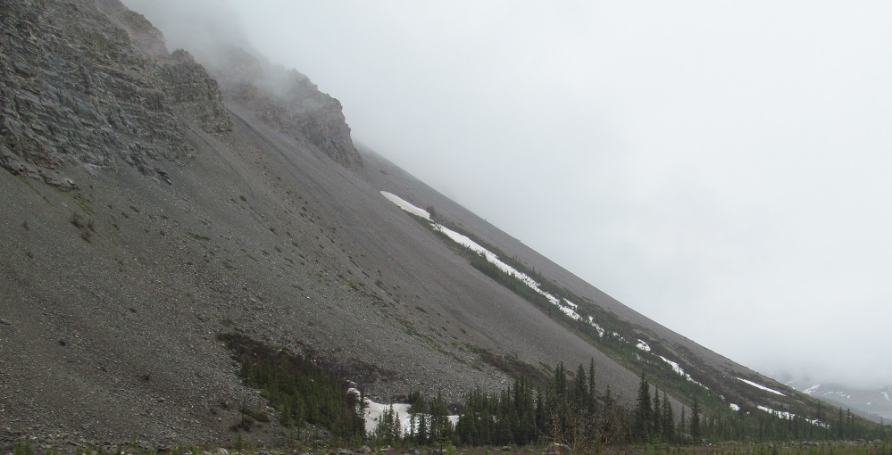
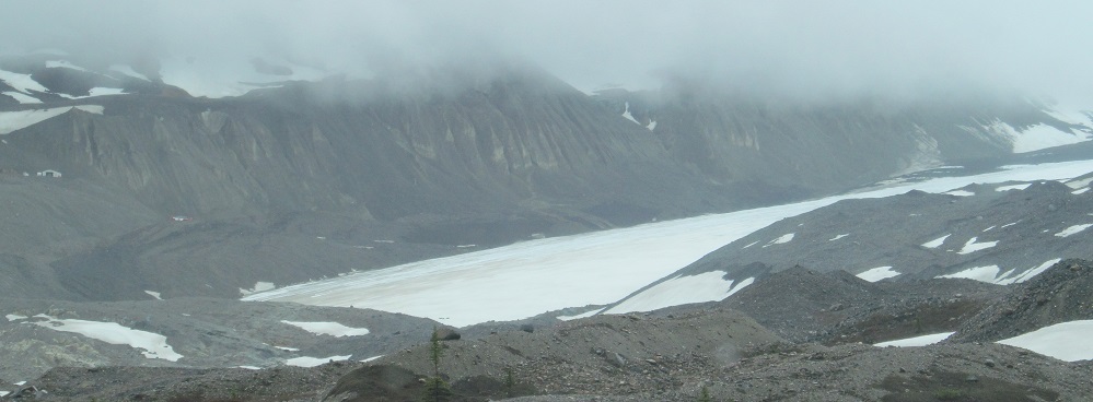
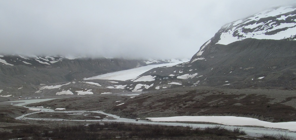
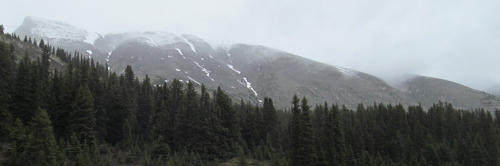
From the Stutfield Glacier viewpoint, this is not a great day to see the glacier, but I can at least see from Mt. Kitchener and "Mount K2" (the left of the two peaks) in the west through Mt. Cromwell (5th photo) baack to Tangle Ridge in the north. If the glacier was visible, it's somewhere around the 3rd or 4th photo, because those are of Stutfield Peak.
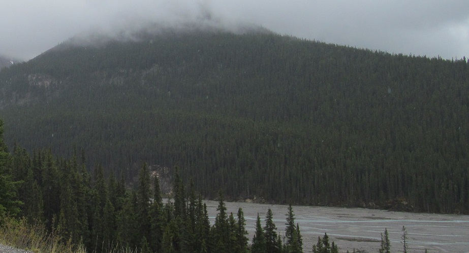
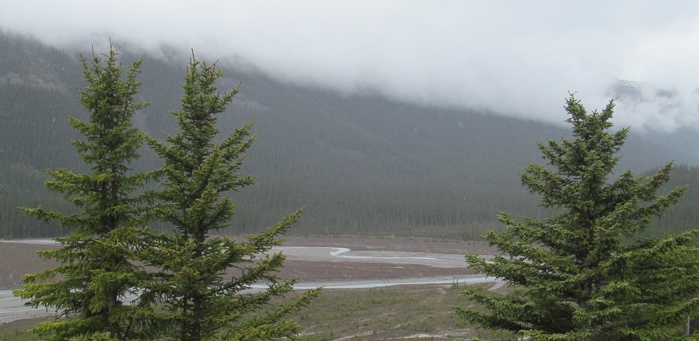
Back on the road, here's some more Mt. Kitchener, with its twin peaks and its waterfall, and the fading trace of the Sunwapta River.
A "moving pan" from south to northwest as I drive past Mt. Kitchener's main peak.
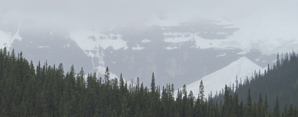
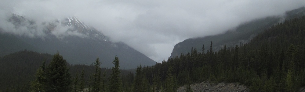
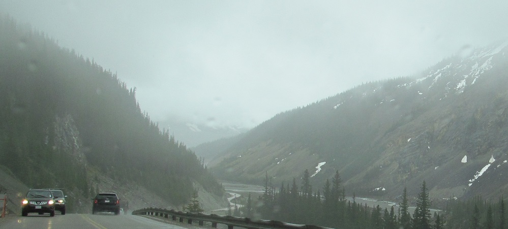
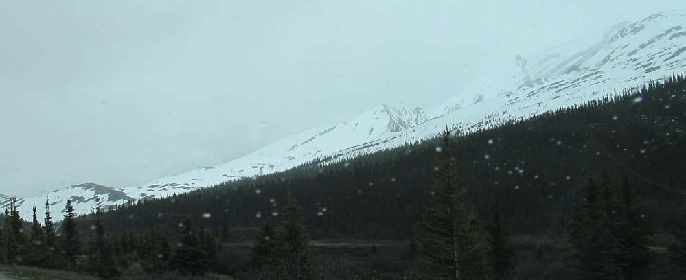
Wilcox Peak, another mountain with a long ridge component, is on my left, and Mt. Athabasca would be straight ahead if I could see.

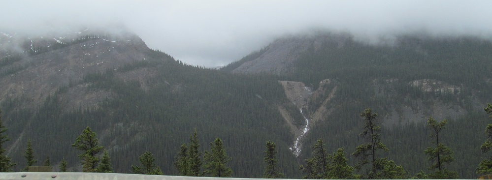
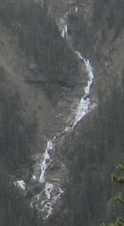
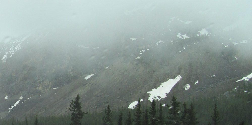
Panning from south to west across Snow Dome, which forms the northwest wall of Athabasca Glacier. From the third photo, it appears there was once another glacier on the near side of the mountain, given the large moraine till deposits.
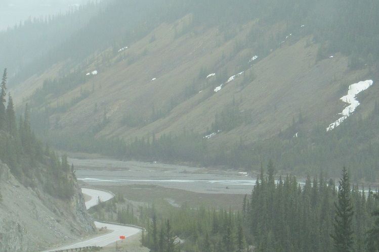
Photos of Athabasca Glacier bracket a Snow Dome view of a different angle, clearly showing the apparent moraine. The glacier, part of the Columbia Icefield (see big link at bottom), outflows into Wilcox Creek (3rd photo), which heads back north to the Sunwapta River.
The ridge of Wilcox Peak is just starting to come down across from the icefield entrance on the north. Just past the entrance and just east of Athabasca Glacier, Boundary Peak is to my south, part of a ridge extending from the top of Mt. Athabasca.
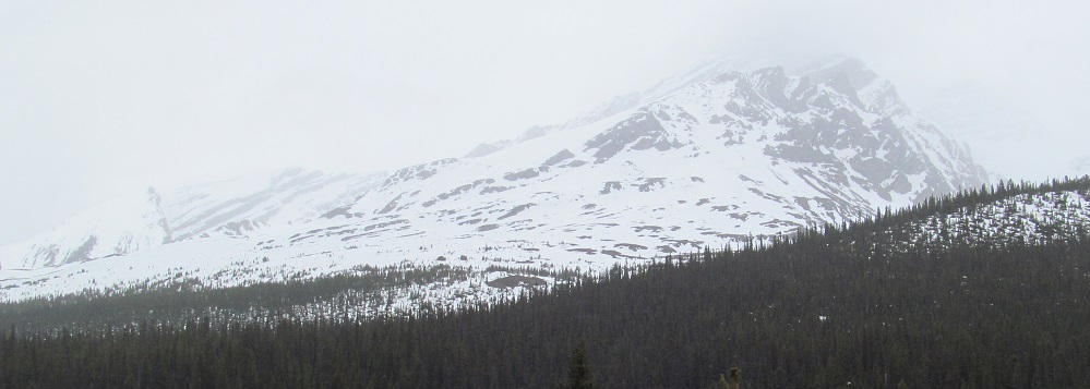
Nigel Peak rises beyond the diminishing Wilcox Peak ridge. Its ancillary peak, Nigel SE3, is the next one southeast.
Various views of the two Nigel Peaks.
Highway 93 reaches its high point, Sunwapta Pass, at the base of Hilda Peak to the west and Nigel Peak to the east. The snow-covered mountain is Hilda Peak, which is joined to Boundary Peak. This pass marked a convenient point for Canada to delineate between Jasper and Banff National Parks, not that there is any functional difference between them.
Columbia Icefield
Continue south on Highway 93 into Banff National Park
Back north on Highway 93
Back to Highway 93 main page
Back to Alberta Non-Roads
Back to Non-Roads main page