Alberta - Highway 93 - Jasper Park - N
Highway 93, Icefields Parkway
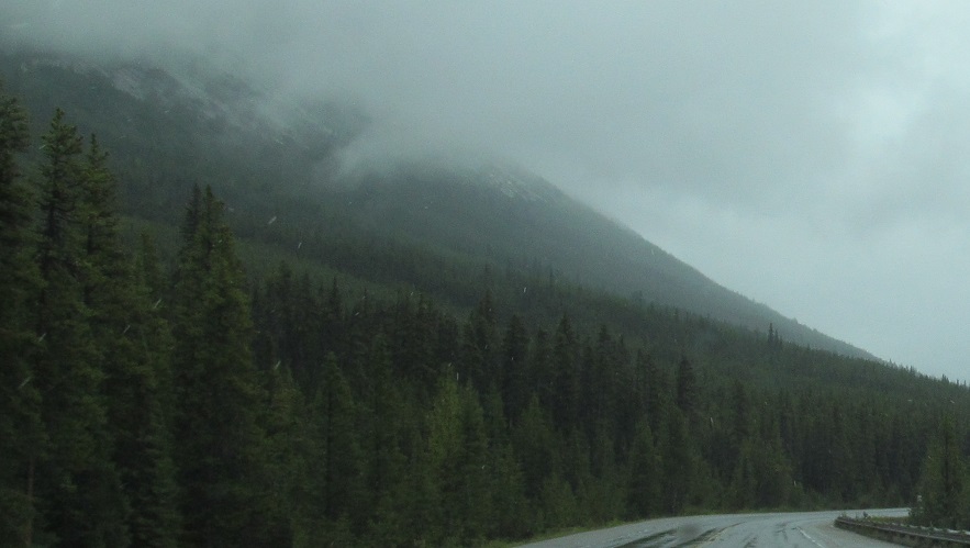
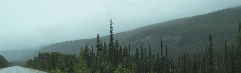
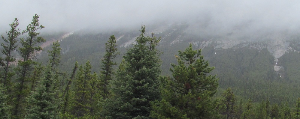
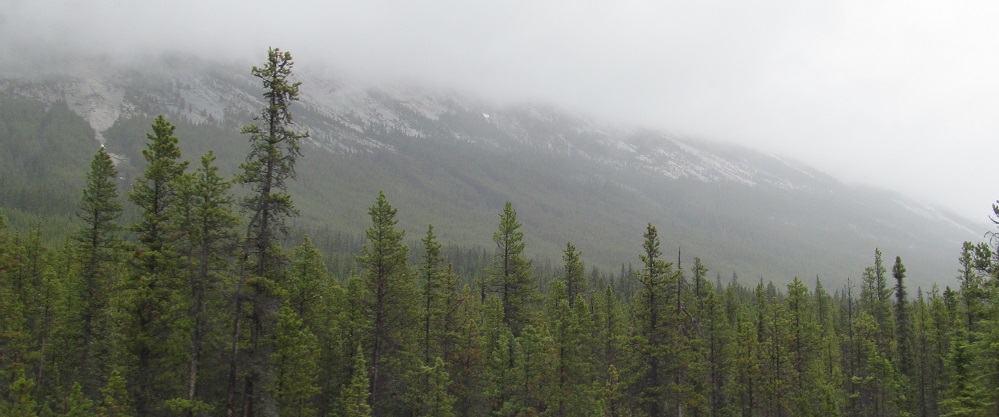
Jasper National Park north of Tangle Ridge
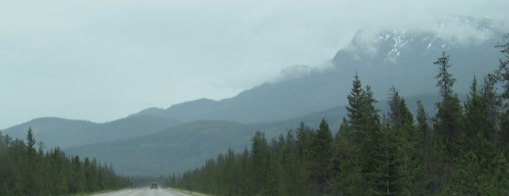
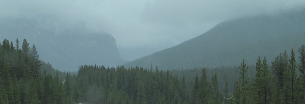
Photos progress from north to south.
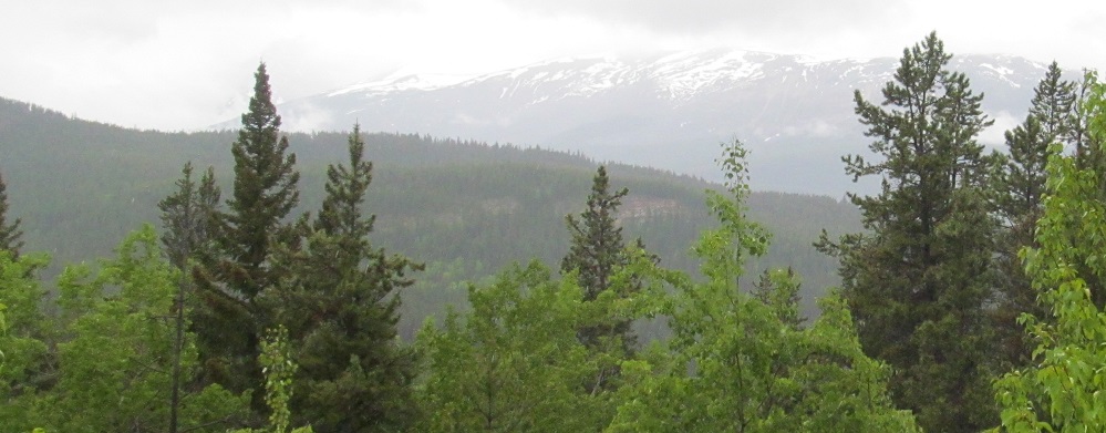
Starting along the Athabasca River at Becker's Chalets, then a pair of Mt. Tekarra views.
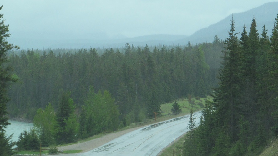
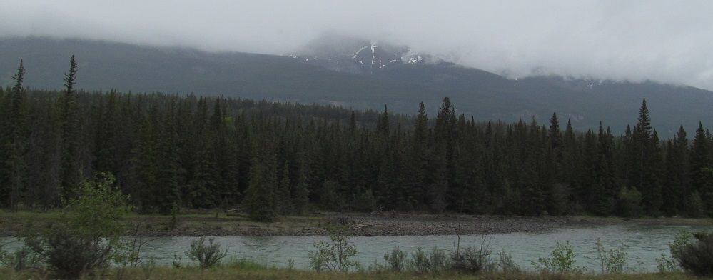
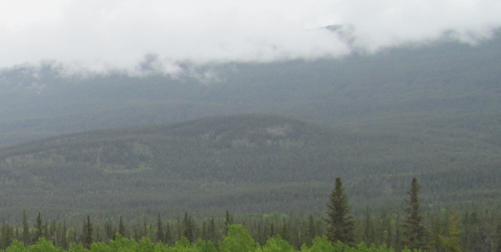
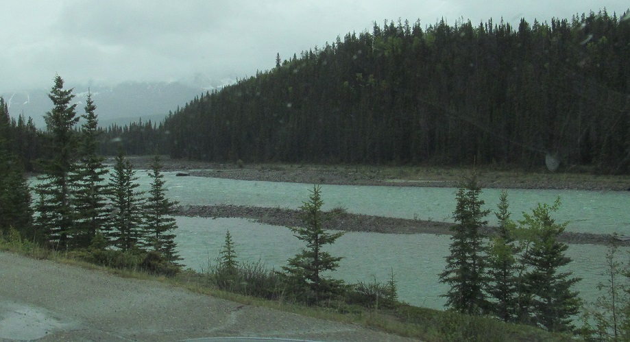
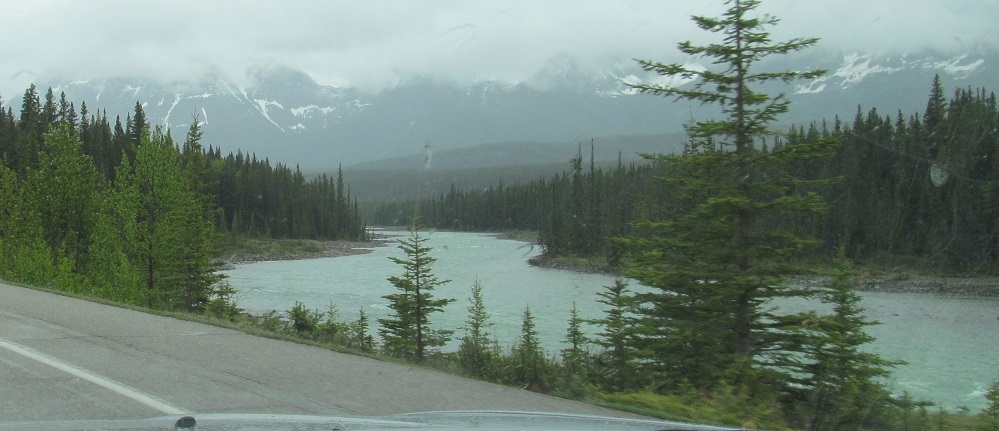
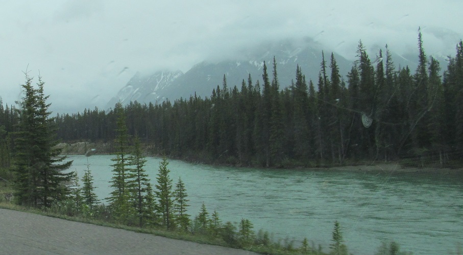
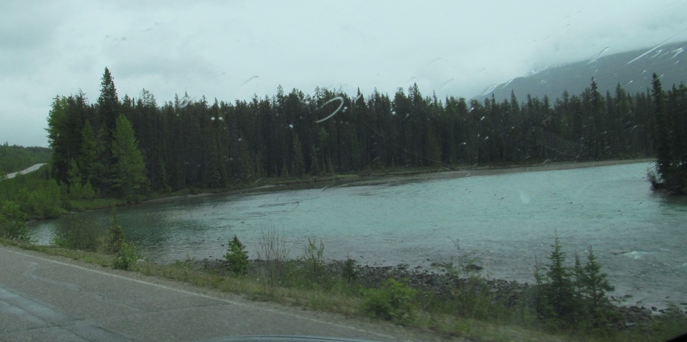
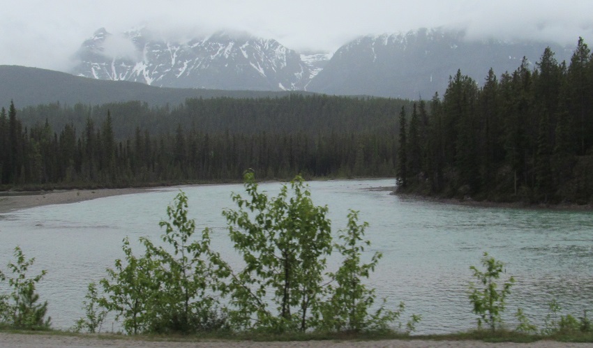
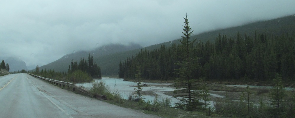
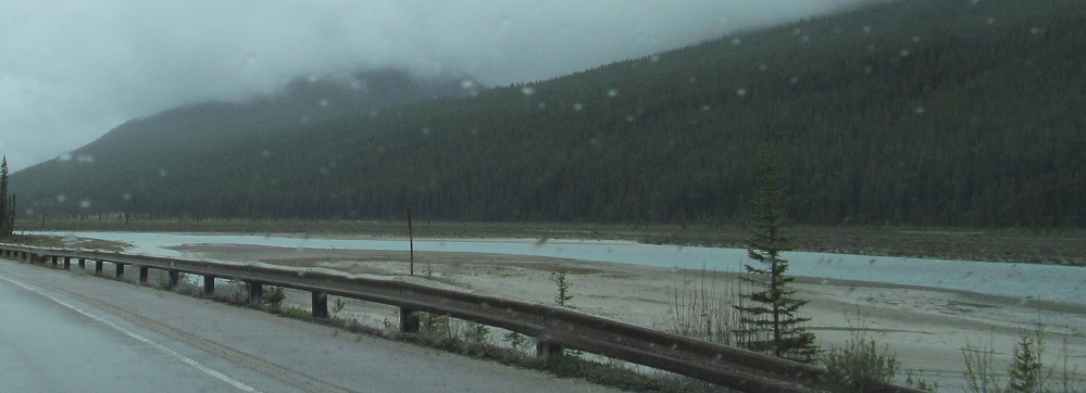
Looking roughly south, upstream along the Athabasca.
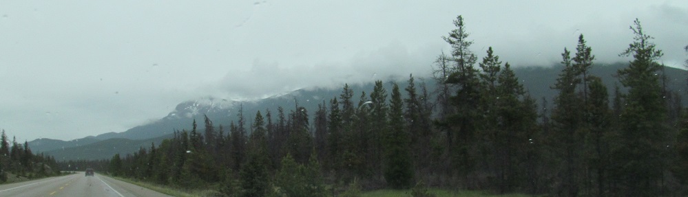
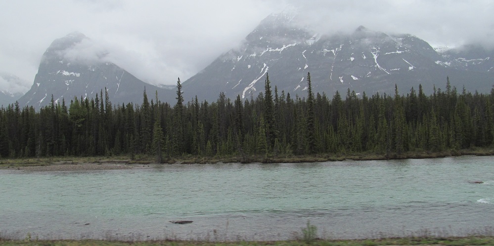
Geraldine Peak is in the first photo and just off the second.
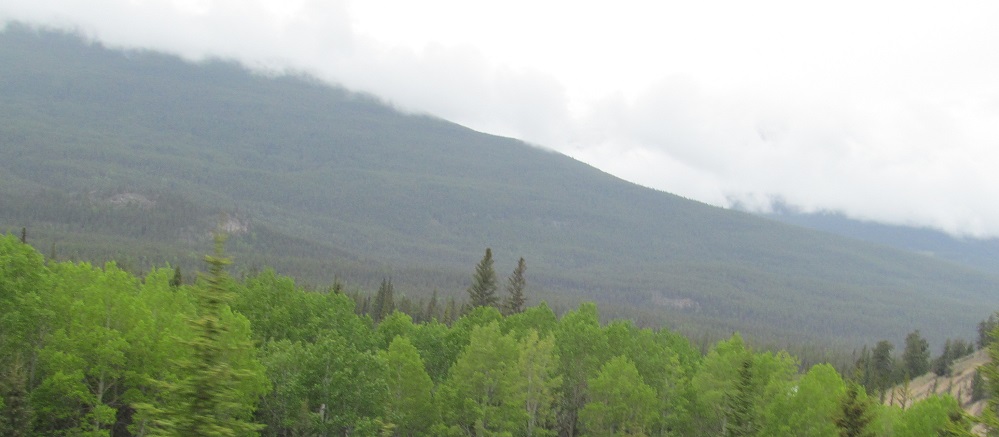
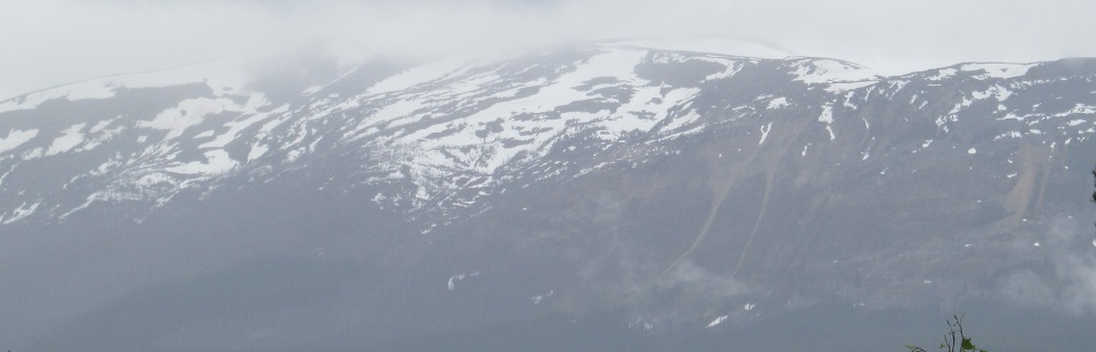
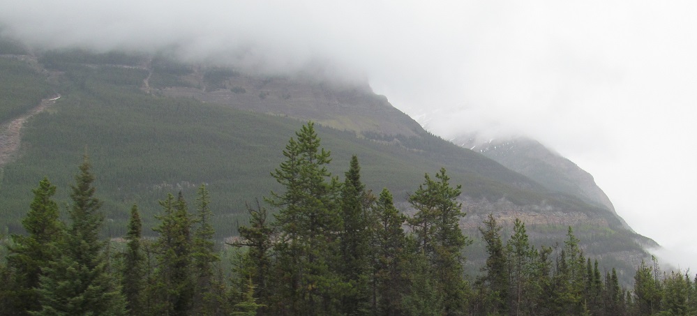
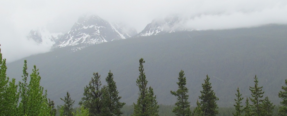
The western slopes of Mt. Edith Cavell, panning around to the northwest.
More views of Mt. Edith Cavell. She was a British nurse during World War I and was executed for helping Allied soldiers escape Belgium. And now she has this mountain.
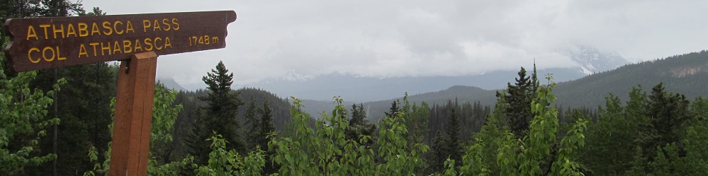
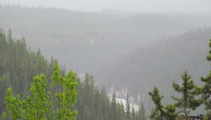
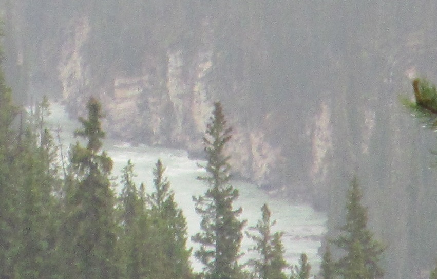
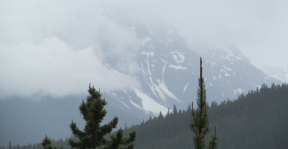
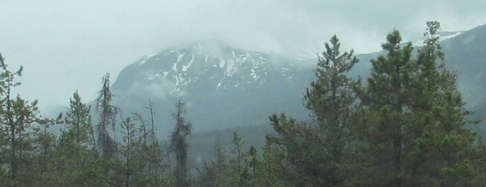
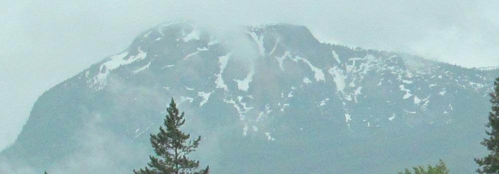
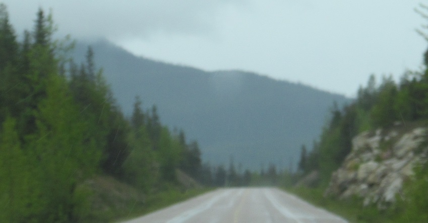
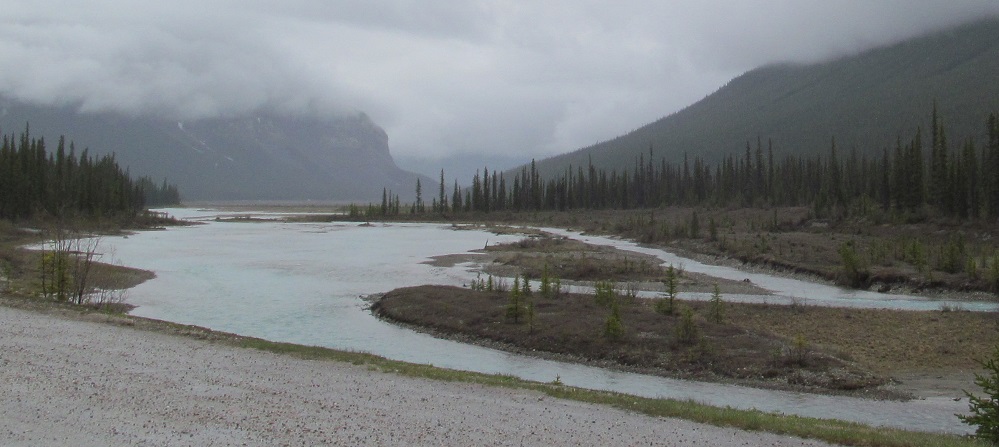
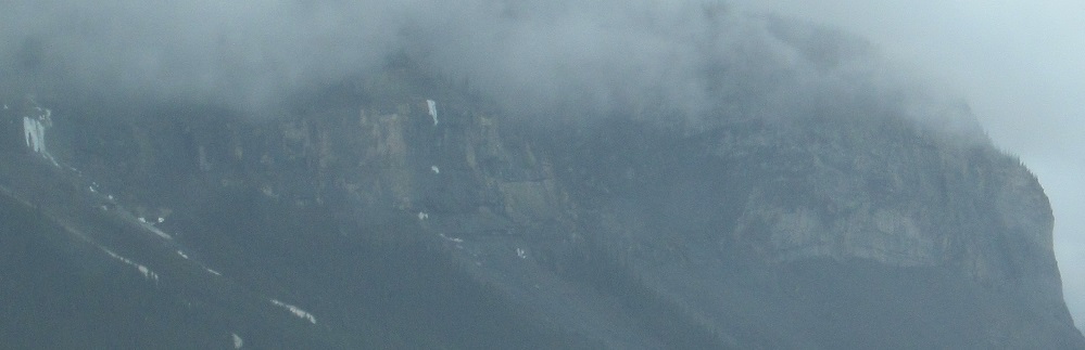
There is one last opportunity to view Ms. Cavell at the Athabasca Pass Viewpoint, but at least this foggy day, there will be no point from which to view Athabasca Pass on the distant BC border. It's straight up the Whirlpool River seen in the 2nd/3rd photos, below left of Geraldine Peak (4th photo).
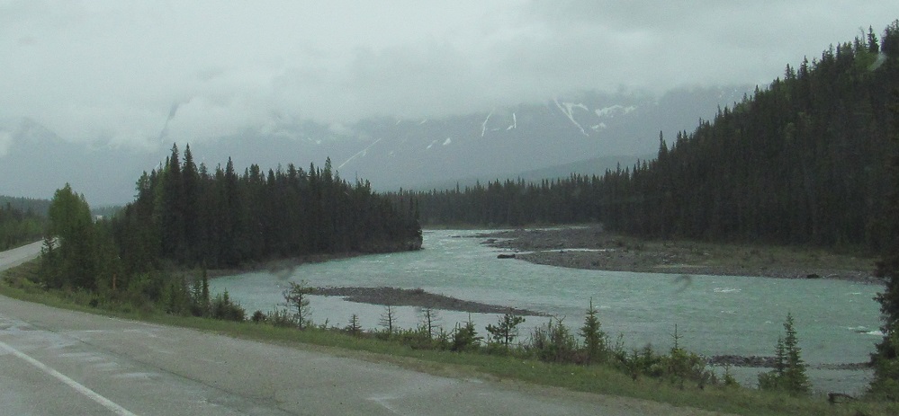
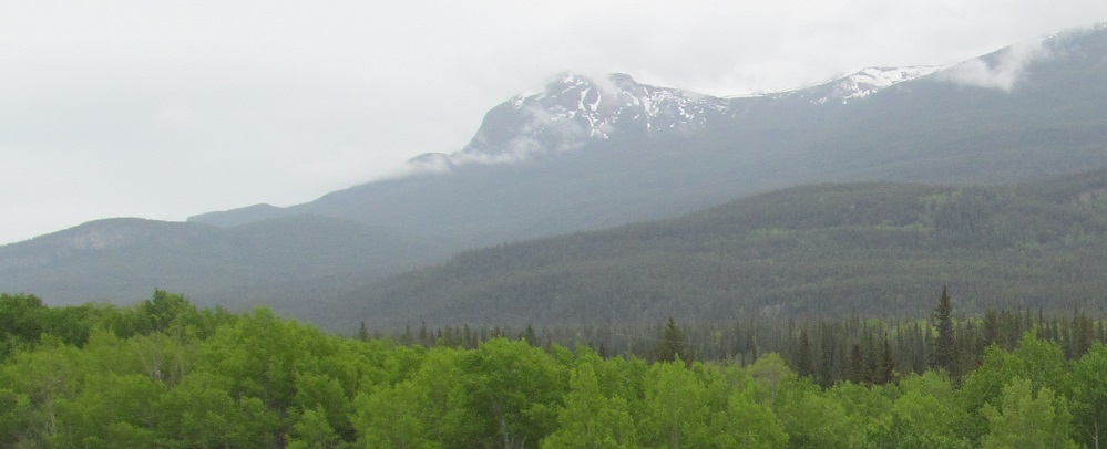
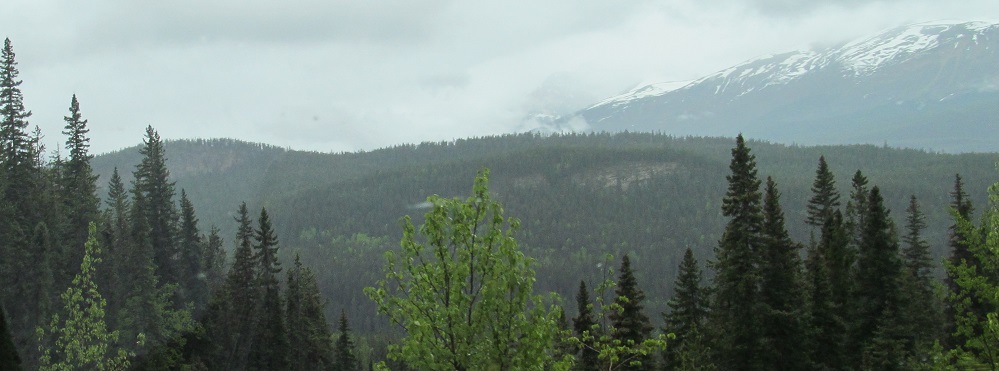
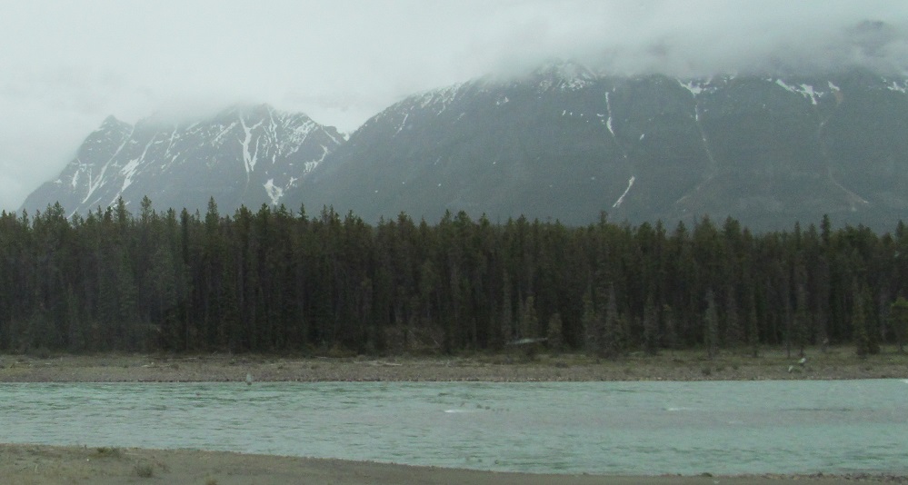
Heading south from Athabasca Falls (see big link at bottom), the next mountain is Mt. Fryatt.
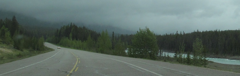
Mt. Kerkeslin is on my left (east).
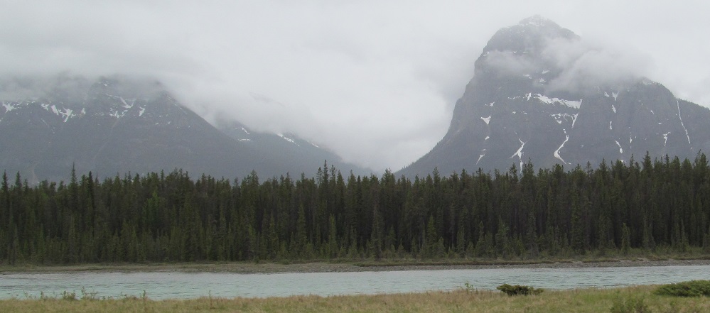
Many more views of Mt. Fryatt, which has a number of constituent peaks, behind the Athabasca River. In the second photo, peak NE3 is right and E5 is left - notice the correspondence to cardinal directions. The last three photos pan from Mt. Christie in the southwest back to Fryatt NE3.
Ahead to the east, as the road bends, this is your best view of Clevis Peak. It's there somewhere.
A brief riverbend affords more views of Mt. Christie, but its striking peak is invisible.
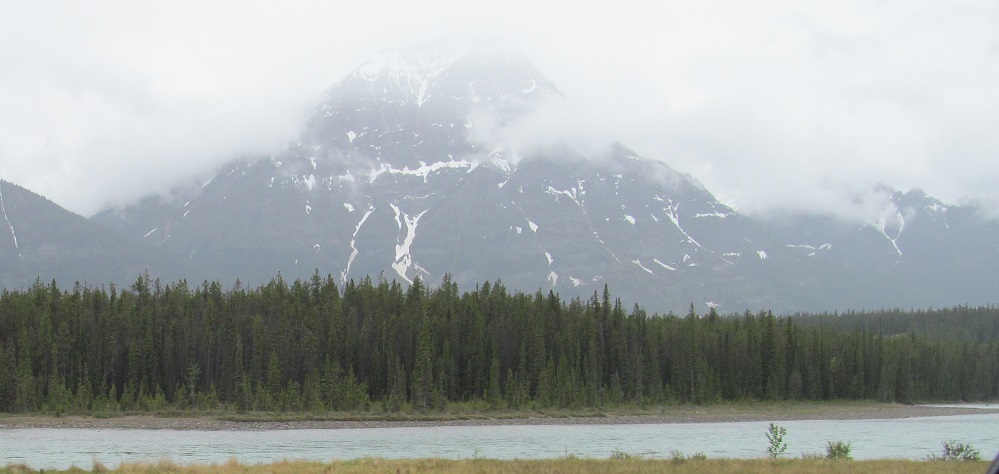
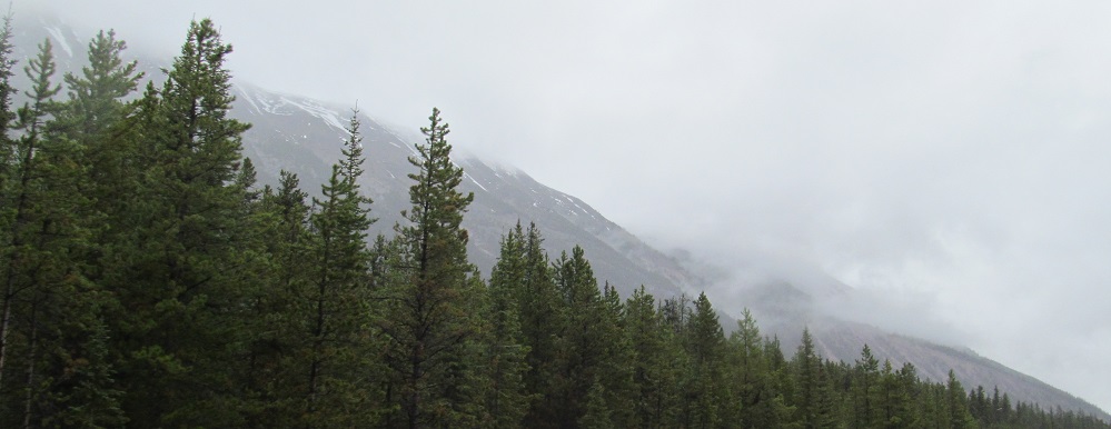
Before I head to Sunwapta Falls (see big link at bottom), these are the foothills of Catacombs Mountain, the next mountain past Christie on the west. Dragon Peak, part of said mountain, is back and to the left.
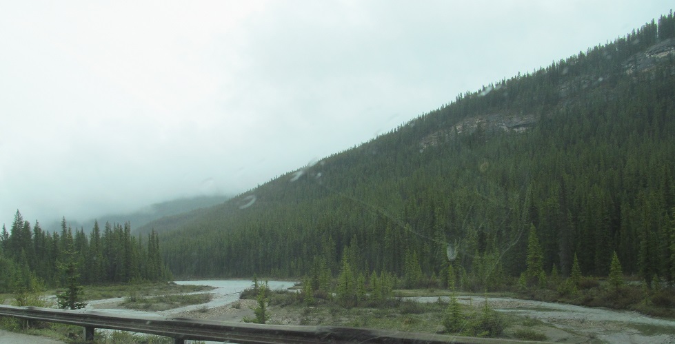
These views of Cotter Peak to the left and Mount Morden Long to the right are found 10 kilometres south of Sunwapta Falls.
Better views of the long ridge that Cotter Peak crowns.
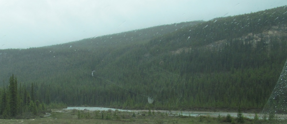
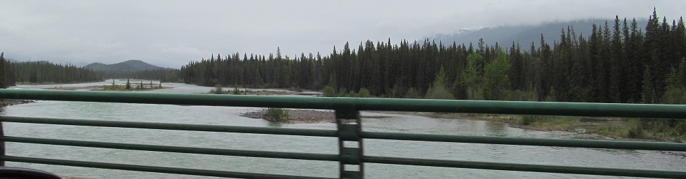
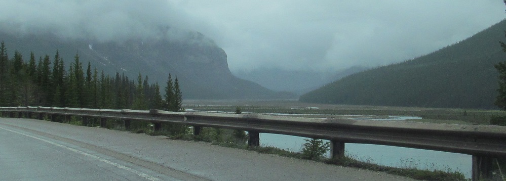
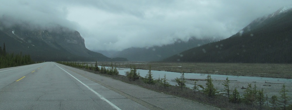
The river comes back into view, but this is the Sunwapta River now, which uses the eponymous falls to drop into the Athabasca. That river heads southwest into British Columbia and ends in a glacial lake on the west side of its eponymous mountain. Eponymous. E-pony-mous. Pony mouse. Behind it, Mt. Morden Long gives way to Mt. Weiss, all part of the same ridge between the two rivers.
Say goodbye to Cotter Peak on the left and say hello to Tangle Ridge. The slope of Mushroom Peak is on the right.
More tangly, mushroomy, and Sunwapta-y views, with a closeup of the former.
Athabasca Falls
Sunwapta Falls
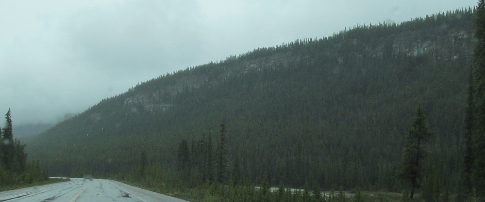
Continue south on Highway 93
Back to Highway 93 main page
Back to Alberta Non-Roads
Back to Non-Roads main page