Alberta - Highway 40
Highway 40
All photos were taken heading south and are generally within 90° thereof.

Near Musreau Lake.


Most of this page is devoted to the several kilometres that Highway 40 spends along the Smoky River. As you can see, it's an apt moniker. The last two photos look east across the river.


The highway turns west for a bit by Sheep Creek Road.


The second photo looks east and the third photo is Grande Mountain, dead ahead. I won't get there, though.


Two more eastward photos into verdant valleys.


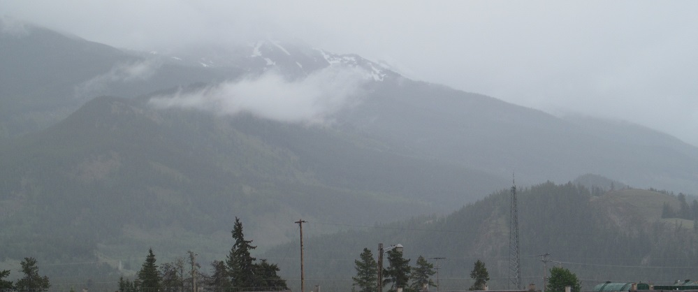
The road curves west again and I come to H.R. Milner Generating Station, which is creating some "smoke" of its own. After that, Mt. Hamell appears ahead, but the highway dodges that to the east.


Looking southeast at Grande Mountain, which I'm about to pass on the west, and then to its left across the Smoky River.


I bet there's a view of Mt. Van Gogh that looks just like the artist. Or possibly an ear.

Looking southwest along the Smoky River as the highway finally crosses it into Grande Cache.


From here, Grande Mountain is to my right and Mt. Hamell is to my left as I look north.


Grande Cache Lake is several kilometres from Grande Cache. One more photo and Highway 40 exits the scenic Canadian Rockies foothills.

The foothills of Mount Gaunce (which is to my right) are beyond the railway crossing.

Looking northeast along the Athabasca River just before I get to Trans-Canada Highway 16 by Hinton.
Highway 40 roads photos
Back to Alberta Non-Roads
Back to Non-Roads main page